Early Views of Santa Catalina Island
Santa Catalina Island rises from the Pacific Ocean twenty-two miles off the Southern California coast, a rugged and mountainous island that has drawn people to its shores for thousands of years. Stretching roughly twenty-two miles long and eight miles wide, Catalina is part of the Channel Islands archipelago and lies entirely within Los Angeles County. Its dramatic landscape of steep ridges, rocky coves, deep canyons, and isolated harbors was shaped over millions of years by tectonic uplift and constant erosion from wind and sea. Few places in Southern California combine natural beauty, isolation, and historical depth quite like Catalina.Long before tourists arrived by steamship, the island belonged to the Tongva people, also known historically as the Gabrielino, who lived on Catalina for more than 7,000 years. They called the island Pimu and maintained villages, fishing camps, and trade routes across the channel using plank canoes expertly crafted for open water travel. In 1542, Portuguese explorer Juan Rodríguez Cabrillo became the first European known to visit the island while sailing in service of the Spanish crown. He claimed it for Spain and named it San Salvador. Sixty years later, in November 1602, explorer Sebastián Vizcaíno rediscovered the island on the eve of Saint Catherine’s Day and renamed it Santa Catalina, the name it still carries today.For nearly three centuries after Vizcaíno’s visit, Catalina passed through Spanish colonial rule, Mexican independence, and a succession of private owners. Mexican Governor Pío Pico granted the island to Tomas Robbins in 1846, after which it changed hands several times before San Francisco businessman and philanthropist James Lick consolidated ownership in 1864. By 1867, Lick controlled the entire island. He never developed Catalina, but by keeping it intact as a single holding, he preserved the opportunity for its future transformation. After his death, the Lick estate sold the island to developer George Shatto in 1887, marking the beginning of Avalon and Catalina’s modern resort era. |
In This Section
* * * * * |
Before Avalon: Catalina’s Earliest Years |
 |
|
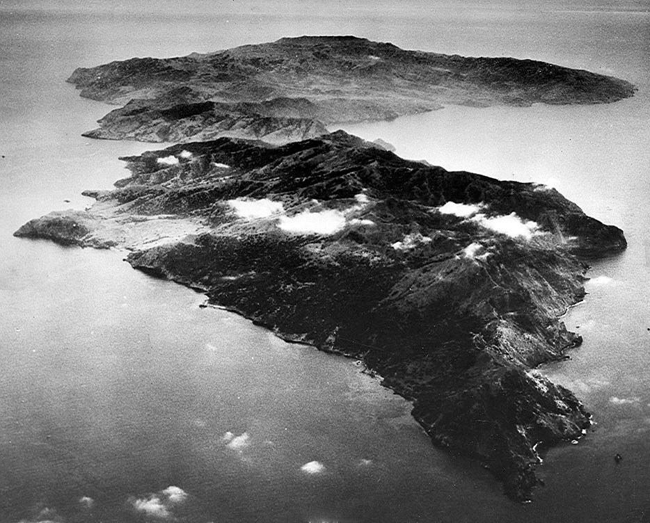
| Aerial view of Catalina Island before it was developed. View is looking south. The Island was created by tectonic uplift.* |
Historical Notes Santa Catalina Island was formed through tectonic uplift, volcanic activity, and millions of years of geologic movement along the California coast. The same forces that shaped Southern California’s coastal mountain ranges produced Catalina’s rugged terrain, steep canyons, rocky shoreline, and elevated interior ridges. Seen from the air before modern development, the island reveals its dramatic natural character largely unchanged from what early explorers and settlers encountered during the 19th century. The island’s isolation helped shape every stage of its history. For the Tongva people, Catalina provided abundant marine resources and relative safety from mainland conflict. For Spanish navigators, it served as a recognizable offshore landmark. For landowners and speculators during the 19th century, it represented opportunity. And for generations of visitors arriving by steamship, Catalina became an escape from mainland life, close enough to see from the coast yet distant enough to feel like another world entirely. |
 |
|
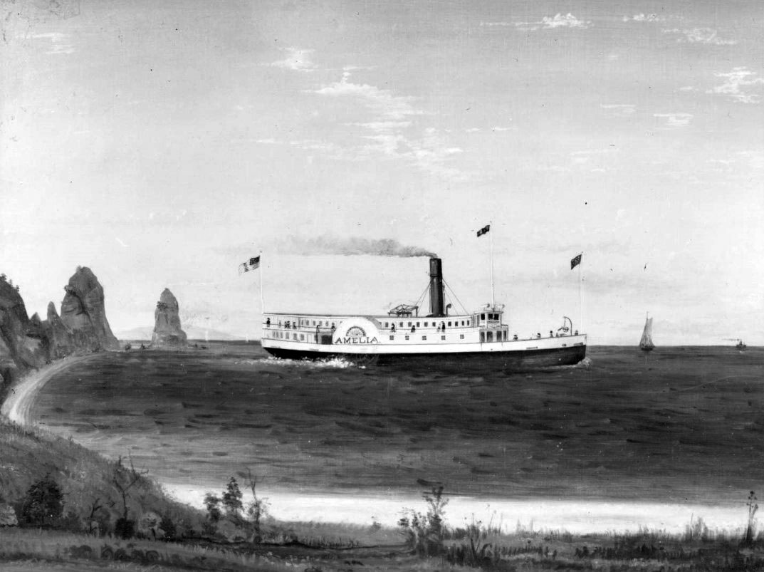
| (1880s)* - Photograph of a painting of the S.S. Amelia near the shore of Avalon Bay. To the left, the coastline curves toward Sugarloaf Point. |
Historical Notes The S.S. Amelia was the first steam-powered vessel to provide regular passenger service between Wilmington and Santa Catalina Island, operating from 1880 to 1883. Owned by the Wilmington Transportation Company under Phineas Banning, the vessel established one of the island’s earliest dependable transportation links to the mainland years before Avalon formally existed as a town. The arrival of regular steamship service marked an important turning point in Catalina’s history. Before vessels like the Amelia, reaching the island required chartered boats or private sailing trips that depended heavily on weather and sea conditions. Steamship transportation made Catalina accessible to a growing number of mainland visitors and helped lay the foundation for the island’s future tourism economy. It also introduced early travelers to landmarks such as Sugarloaf Point, which already stood prominently above Avalon Harbor. |
 |
|
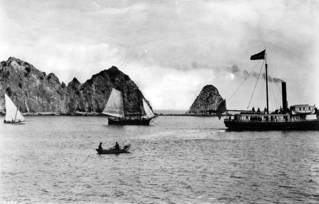
| (1887)* - View of Avalon Bay and Sugarloaf Point showing the steamer Ferndale and the schooner Ruby in Avalon Harbor. |
Historical Notes This 1887 view captures Avalon Harbor at the very beginning of Catalina’s transformation into a resort destination. George Shatto had purchased the island that same year, but the town of Avalon had not yet fully taken shape. The harbor remained largely undeveloped, with only a few small vessels anchored offshore beneath the steep hills surrounding the bay. Sugarloaf Point dominates the distant shoreline years before it was altered and eventually removed for construction of the Catalina Casino. Catalina’s early recorded history reflects centuries of changing ownership and identity. Cabrillo claimed the island for Spain in 1542, and Vizcaíno renamed it Santa Catalina in 1602. Following Mexico’s independence from Spain in 1821, the island became part of Mexican California before passing into private ownership after the American acquisition of California. Governor Pío Pico’s 1846 land grant to Tomas Robbins began a long period of speculation and ownership transfers that eventually brought the island under James Lick and later George Shatto, whose vision would permanently reshape Avalon Harbor. |
.jpg) |
|
| (ca. 1886)* - View of Sugarloaf Point and Avalon Harbor with several small boats anchored offshore. |
Historical Notes Before Avalon emerged as a resort town, the harbor existed as a quiet natural anchorage framed by steep hillsides covered with native brush and scattered trees. A handful of small boats rest offshore in this early view, while Sugarloaf Point rises prominently above the bay. The protected waters of Avalon Harbor had long attracted fishermen, sailors, and occasional visitors even before permanent development reached the island. For more than 7,000 years, Catalina Island was home to the Tongva people, whose knowledge of the island and surrounding waters allowed them to thrive in relative isolation. Spanish and later Mexican rule brought formal claims of ownership but little large scale settlement or development. For much of the 19th century, Catalina remained remote, rugged, and sparsely populated, preserving much of the natural landscape seen in these early photographs. |
 |
|
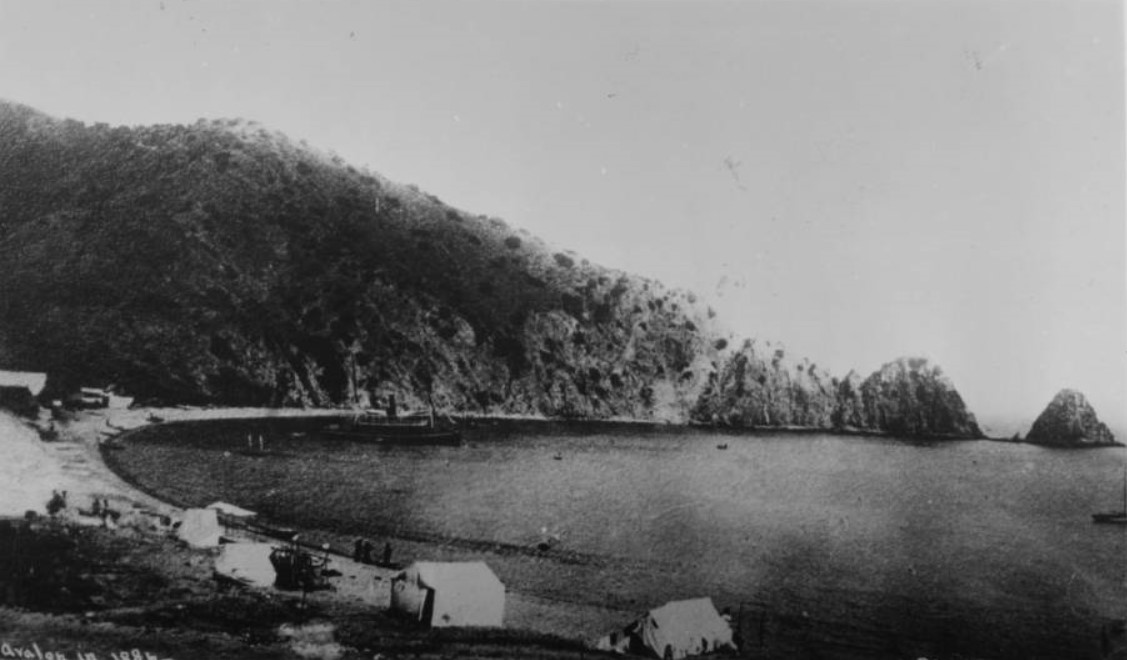
| (1886)* - Early view of Avalon Bay showing tents along the shoreline and a steamship anchored offshore. |
Historical Notes This rare 1886 photograph captures Avalon during the final years before organized resort development transformed the harbor into Southern California’s premier island destination. Tents line portions of the shoreline while a steamship rests offshore, providing some of the earliest visual evidence of recreational visitors arriving on Catalina before the founding of Avalon. At the time this photograph was taken, Catalina Island belonged to the estate of James Lick, the San Francisco businessman and philanthropist who had consolidated ownership of the island by 1867. Although Lick never developed Catalina himself, his ownership preserved the island as a single holding during a period when much of Southern California was being divided and rapidly sold. Within a year, George Shatto would purchase Catalina from the Lick estate, build the island’s first major resort facilities, and begin transforming what appears here as a rough coastal encampment into one of Southern California’s earliest planned resort communities. |
* * * * * |
The Hotel Metropole and Avalon’s First Resort Era |
In 1887, George Rufus Shatto, a real estate developer from Grand Rapids, Michigan, purchased Santa Catalina Island from the estate of James Lick for approximately $200,000. It was an ambitious gamble. The island had no town, no pier, no hotel, and only limited transportation to the mainland. What Shatto saw instead was opportunity — a protected harbor, clear water, dramatic scenery, and a climate that could attract visitors seeking escape from the increasingly crowded cities of Southern California. Within a year, he had surveyed lots, constructed a wharf, and begun laying out the settlement that would soon become Avalon. His sister in law, Etta Whitney, selected the name from Tennyson’s Idylls of the King, inspired by the legendary island of Avalon associated with beauty and rest.At the center of Shatto’s vision stood the Hotel Metropole, completed in 1888 along the shoreline of Avalon Bay. The large wooden hotel overlooked the harbor with wide porches, balconies, dormer windows, and sweeping views of the bay. A windmill beside the property supplied water to guests while small boats ferried passengers and freight ashore from anchored steamships. From the beginning, the Metropole became far more than a hotel. It was the social center of a town being created almost in real time, where tourists arrived by steamer, stayed in tents pitched along the waterfront, attended dances and gatherings, and experienced a style of resort life unlike anything else then available in Southern California.Shatto’s dream helped launch Catalina’s tourism era, but his finances could not keep pace with the rapid development. Within only a few years he defaulted on his mortgage and control of the island returned to the Lick estate. In 1891, Catalina was purchased by the three sons of Phineas Banning — William, Joseph, and Hancock Banning — who established the Santa Catalina Island Company. The Bannings expanded steamship service, improved roads and utilities, and guided Avalon through its first major period of growth. Under their management, the rough tent settlement surrounding the Metropole slowly evolved into one of California’s earliest seaside resort towns. Over the next twenty-seven years, the Hotel Metropole itself underwent a series of expansions and architectural modifications that mirrored Avalon’s rapid growth as a resort destination. Wings were added, porches enlarged, dormers and turrets introduced, and the hotel gradually evolved from a relatively modest seaside structure into one of the most recognizable resort hotels on the Southern California coast. These successive changes now provide historians with valuable clues for dating many of Avalon’s earliest photographs and postcards. |
 |
|
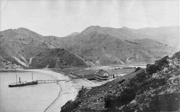
| (ca. 1888)* - The newly constructed Hotel Metropole overlooks Avalon Harbor as a steamer docks at the pier below. |
Historical Notes Completed in 1888, the Hotel Metropole became Avalon’s first grand resort hotel and the centerpiece of George Shatto’s plans for Catalina Island. The large wooden structure stood only steps from the beach and greeted arriving passengers the moment their steamship entered Avalon Harbor. Wide verandas, balconies, and dormer windows gave visitors commanding views across the bay, while the windmill beside the hotel supplied much of the fresh water needed by the growing settlement. The Metropole quickly became the social heart of early Avalon. Visitors gathered there after arriving by steamer, attended dances and receptions in the evenings, and organized fishing trips, boating excursions, and sightseeing during the day. Although tents and temporary camps still covered much of the harbor, the hotel gave Avalon its first real sense of permanence. |
 |
|
| (ca. 1888)* - Avalon Harbor looking south as a steamer departs the wharf near the Hotel Metropole. |
Historical Notes This early harbor scene captures Avalon during its first full season as a developing resort community. The Hotel Metropole stands prominently along the shoreline while a steamer departs Avalon Harbor carrying passengers back toward the mainland. Only a few scattered buildings and tents appear near the waterfront, and most of the surrounding hillsides remain open and undeveloped. Steamship transportation was the lifeline of early Avalon. Before automobiles and highways connected Southern California communities, visitors depended almost entirely on coastal steamers to reach Catalina Island. Regular passenger service transformed the island from a remote offshore anchorage into an accessible vacation destination, bringing increasing numbers of visitors to Avalon during the late 1880s and early 1890s. |
 |
|
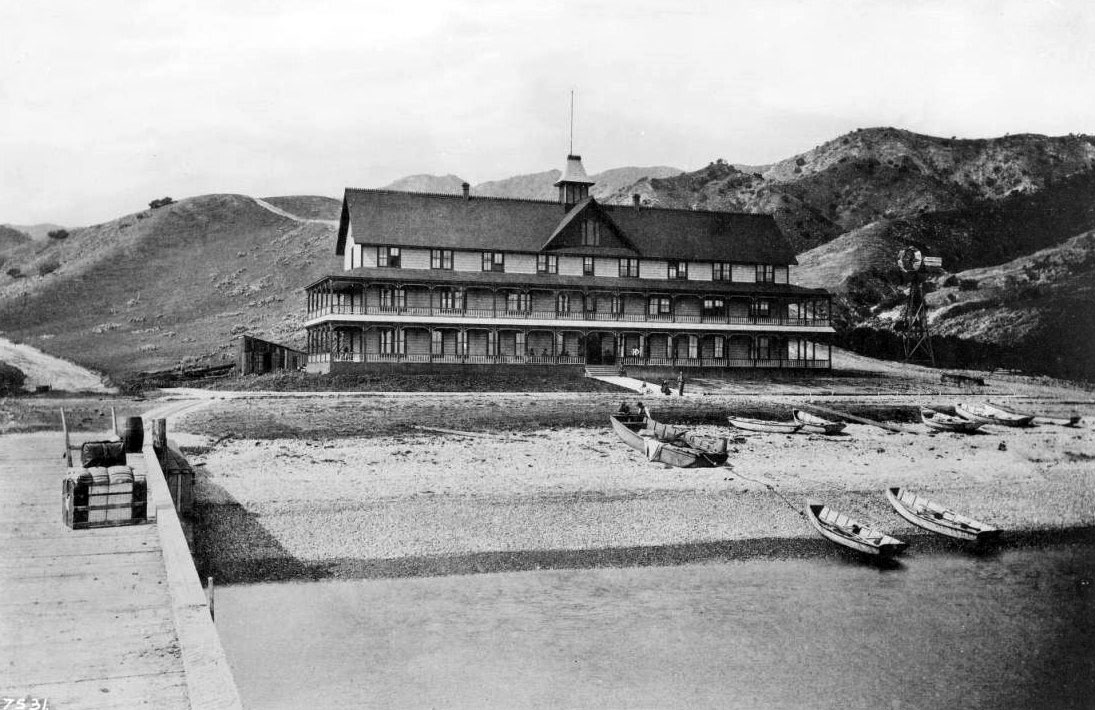
| (ca. 1888)* - Visitors gather near the Hotel Metropole while small boats rest along the shoreline and a windmill stands beside the hotel. |
Historical Notes The Hotel Metropole offered visitors comforts rarely associated with such a remote island setting during the late 19th century. Guests enjoyed shaded porches overlooking Avalon Bay, immediate access to boating and fishing, and a lively social atmosphere centered around the waterfront. Small boats pulled onto the beach and the nearby windmill reveal how dependent early Avalon remained on maritime transportation and improvised infrastructure. Despite the elegant appearance of the hotel, much of Avalon still resembled a frontier outpost. Supplies arrived by ship, roads remained rough, and tents outnumbered permanent structures throughout the harbor area. Yet this blend of rugged surroundings and resort hospitality became one of Catalina’s defining attractions, giving visitors both adventure and comfort within the same setting. |
 |
|
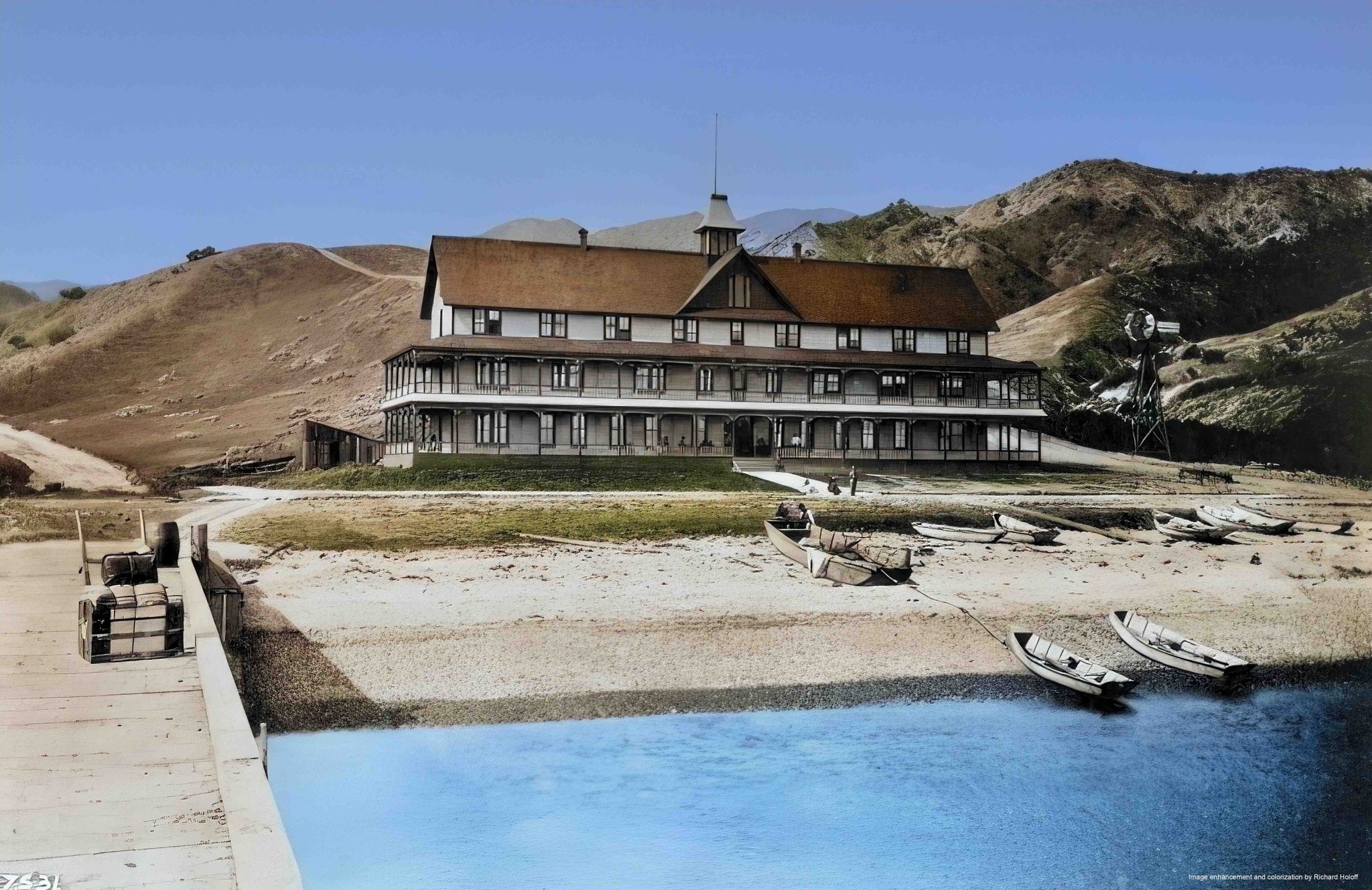
| (ca. 1888)* - Colorized view of the Hotel Metropole overlooking Avalon Harbor during Catalina’s earliest resort years. Image enhancement and colorization by Richard Holoff. |
Historical Notes This colorized view restores the atmosphere of Avalon during the island’s earliest tourism era. The white wooden facade of the Hotel Metropole overlooks the calm waters of Avalon Bay while the dry hills surrounding the harbor still show little evidence of permanent development. The scene captures Catalina at a moment when the island remained isolated and rugged even as organized tourism was beginning to reshape the shoreline. The setting itself became part of the hotel’s appeal. Positioned between the mountains and the protected harbor, the Metropole offered scenery unlike anything available at mainland resorts. Many early visitors returned year after year, drawn less by luxury than by Catalina’s ocean travel, mild climate, dramatic landscape, and relaxed seaside atmosphere. |
 |
|
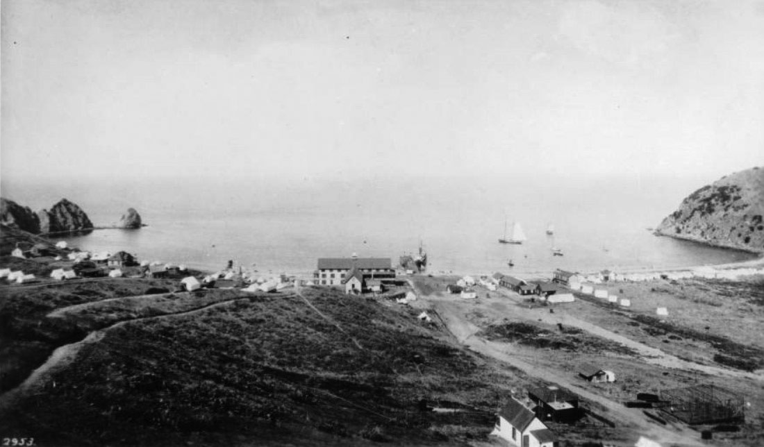
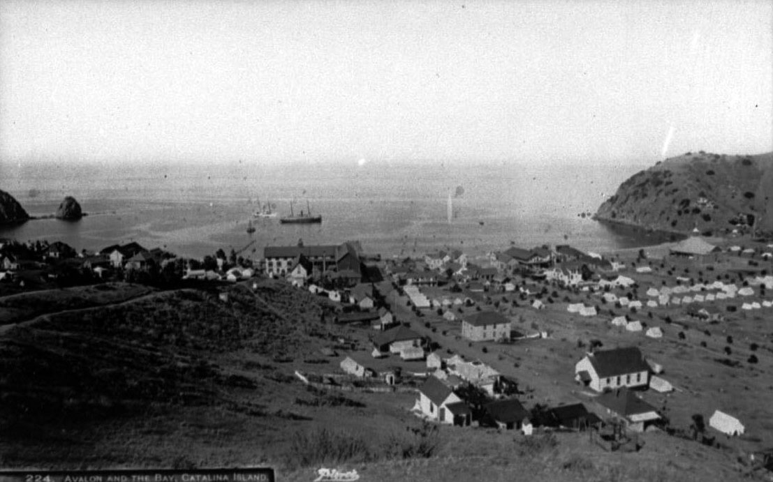
| (1890s)* - Panoramic view of Avalon Harbor with the Hotel Metropole, Sugarloaf Point, tents, sailboats, and the unfinished Congregational Church visible near the shoreline. |
Historical Notes By the early 1890s, Avalon had begun evolving from a seasonal tent settlement into a recognizable resort town. The Hotel Metropole anchored the waterfront while tents spread across the shoreline and additional buildings slowly appeared beneath the surrounding hills. Sailboats, steamships, and pleasure craft filled Avalon Harbor as tourism activity steadily increased. The unfinished Congregational Church visible near the lower right reflects Avalon’s gradual transition toward permanence. Churches, businesses, boarding houses, and year round residents were beginning to replace the temporary character of the earliest settlement years. At the same time, Sugarloaf Point continued to dominate the harbor entrance, serving as both a navigational landmark and one of Catalina’s most recognizable natural features. |
 |
|
| (ca. 1890s)* - Avalon Harbor and the Hotel Metropole viewed from the hillside above the growing tent community. |
Historical Notes Seen from the hills above Avalon, this view reveals the remarkable growth of Tent City during Catalina’s first tourism boom. Canvas tents spread across much of the flat land surrounding the harbor while the Hotel Metropole and a small number of permanent buildings lined the waterfront below. A steamboat rests in Avalon Bay after delivering another group of summer visitors from the mainland. George Shatto had succeeded in creating Avalon from virtually nothing, but the cost of sustaining and expanding the settlement exceeded his financial resources. When control of the island passed to the Banning brothers in 1891, they brought the steamships, capital, infrastructure, and organizational experience needed to transform Shatto’s original vision into a lasting resort community that would continue growing well into the 20th century. |
* * * * * |
Tent City and “Rag City” |
During the late 1880s and early 1890s, most visitors arriving at Avalon could not afford the Hotel Metropole or the island’s limited number of boarding houses. Instead, they stayed in canvas tents pitched along the shoreline and hillsides surrounding Avalon Harbor. What began as a practical way to accommodate tourists soon evolved into one of Catalina’s most distinctive traditions. Rows of tents spread across the waterfront beneath the shadow of Sugarloaf Point, creating a seasonal community that combined the informality of camping with the social atmosphere of a growing seaside resort.The expanding tent settlement became known informally as “Rag City,” a nickname inspired by the canvas tents that covered much of Avalon during the busy summer months. Families arrived by steamship carrying trunks, fishing gear, picnic baskets, and supplies for extended stays on the island. Days were spent swimming, boating, fishing, hiking, and exploring the harbor while evenings brought lantern light, concerts, dances, and cool ocean breezes drifting across the waterfront. For many Southern Californians, Tent City offered an affordable escape that felt adventurous yet comfortable at the same time.Overlooking the harbor stood Holly Hill House, also known as the Lookout Cottage, one of Avalon’s earliest hillside boarding houses. From its elevated perch above the bay, visitors enjoyed panoramic views of Sugarloaf Point, Avalon Harbor, steamships anchored offshore, and the growing collection of tents, bathhouses, hotels, and businesses spreading along the shoreline below. Together, Tent City and Holly Hill House captured the unusual character of early Catalina, part frontier camp, part Victorian resort, and unlike anything else then existing along the Southern California coast. |
 |
|
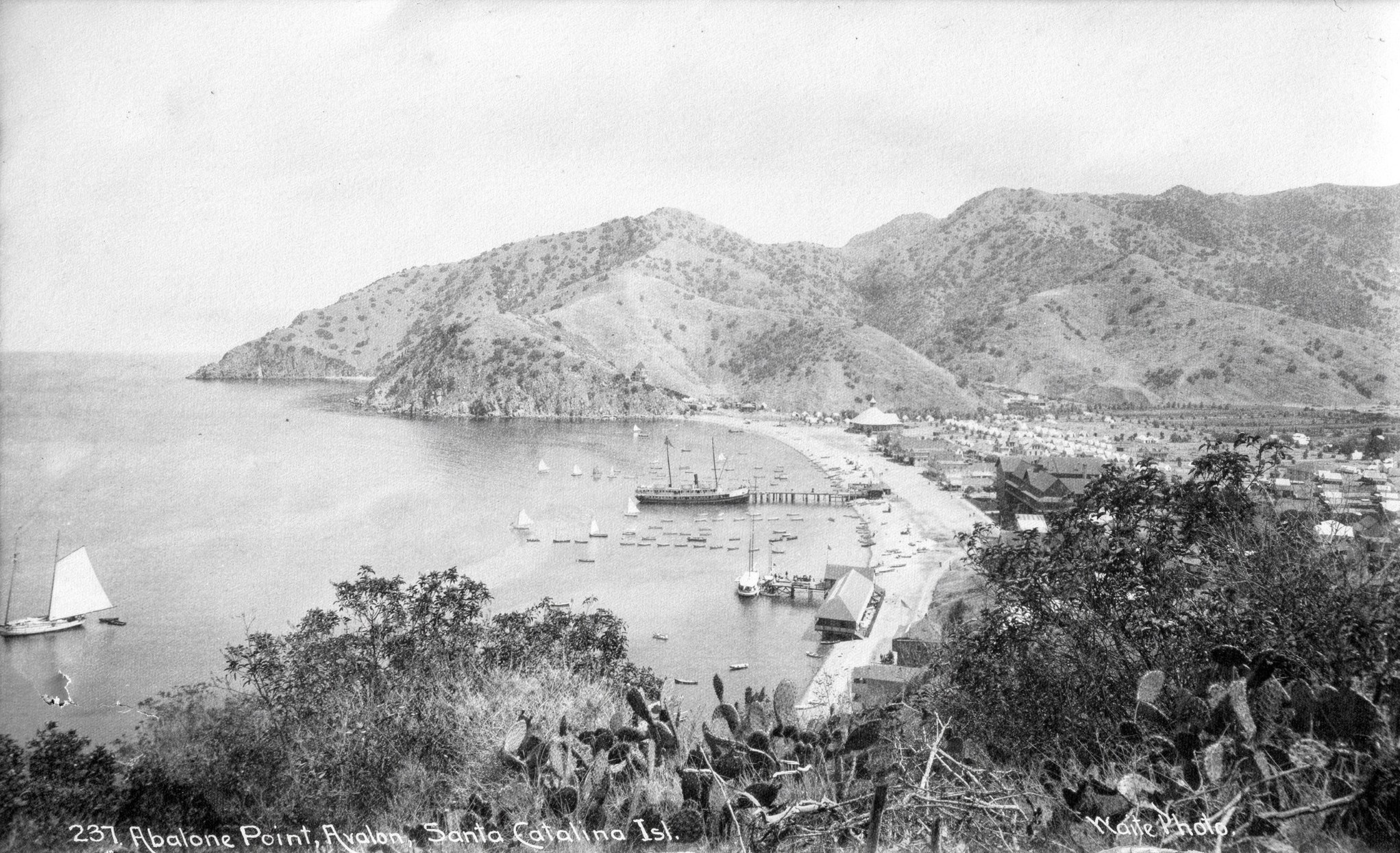
| (ca. 1890s)* - Postcard view of Abalone Point and Avalon Harbor showing the steamer S.S. Hermosa docked near the Hotel Metropole. Photo courtesy of John R. Call. |
Historical Notes The S.S. Hermosa became one of the most recognizable steamships serving Catalina during the island’s early tourism years. Built in San Francisco in 1888 for the Wilmington Transportation Company owned by the Banning family, the vessel carried passengers between the mainland and Avalon during the busy summer season. During the off season, the Hermosa was sometimes leased for service in Puget Sound and Alaska. This view captures many of the elements that defined early Avalon: the Hotel Metropole overlooking the harbor, steamships delivering visitors from the mainland, and the rugged hills surrounding the growing resort settlement. Steamship transportation made Catalina increasingly accessible and helped transform Avalon from a remote harbor into one of Southern California’s most popular vacation destinations. |
 |
|
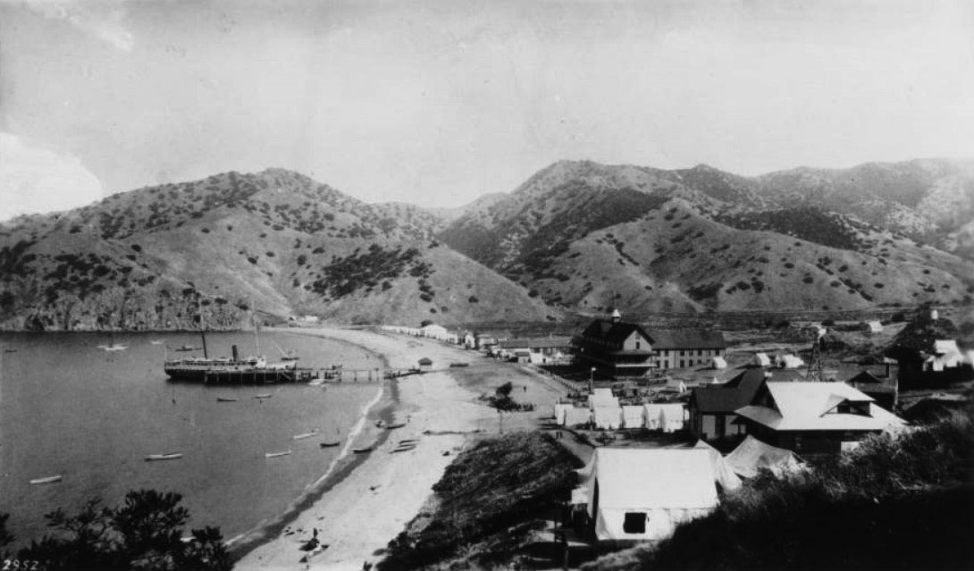
| (ca. 1890s)* - Panoramic view of Avalon Harbor showing the steamer S.S. Hermosa docked in front of the Hotel Metropole. More tents than permanent buildings are visible along the shoreline. |
Historical Notes This panoramic scene reveals how much of early Avalon still functioned as a tent community during the 1890s. Canvas tents covered large sections of the waterfront while only a limited number of permanent buildings stood near the harbor. The Hotel Metropole dominated the shoreline as the S.S. Hermosa rested docked nearby after bringing another group of visitors to Catalina Island. The Hermosa could carry approximately 150 passengers and quickly became an important part of Avalon’s tourism economy. For many visitors, the steamship voyage itself formed part of the Catalina experience. Crossing the channel by sea created a sense of separation from mainland life that made Avalon feel both adventurous and exotic despite its relatively short distance from Los Angeles. |
 |
|
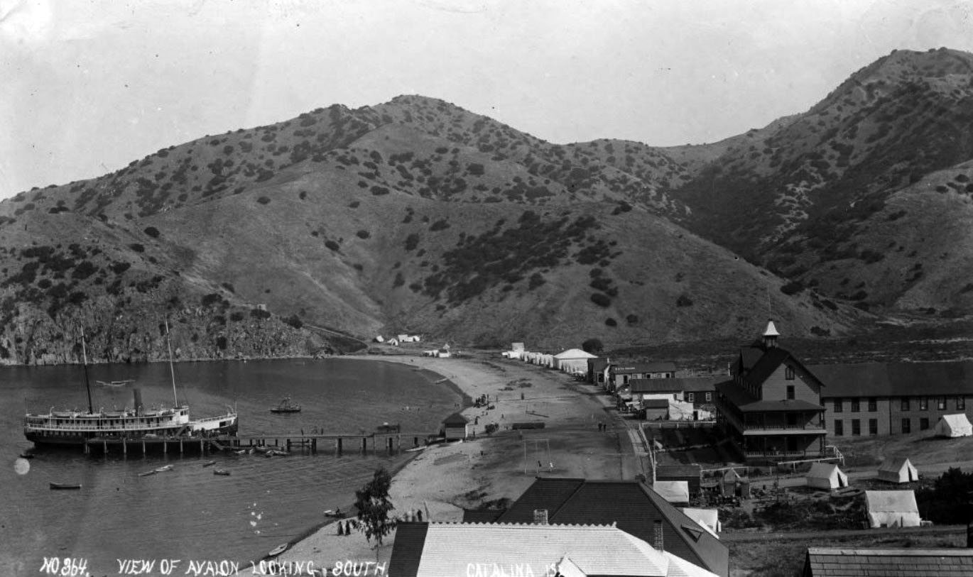
| (ca. 1890s)* - View looking south along Avalon Harbor with the S.S. Hermosa docked at the pier and the Hotel Metropole surrounded by tents beneath the barren hillsides. |
Historical Notes This view looking south along Avalon Harbor captures the rough and unfinished character of early Avalon. The Hotel Metropole stands prominently near the waterfront while rows of tents spread across the shoreline below the steep, nearly barren hills surrounding the harbor. The S.S. Hermosa rests at the pier after transporting passengers and supplies from the mainland. Although Avalon had already begun attracting tourists by the early 1890s, much of the settlement still resembled a frontier outpost rather than a fully developed resort town. Roads remained primitive, utilities were limited, and tents continued to outnumber permanent structures. Yet this combination of rugged landscape and growing tourism became part of Catalina’s unique appeal. |
 |
|
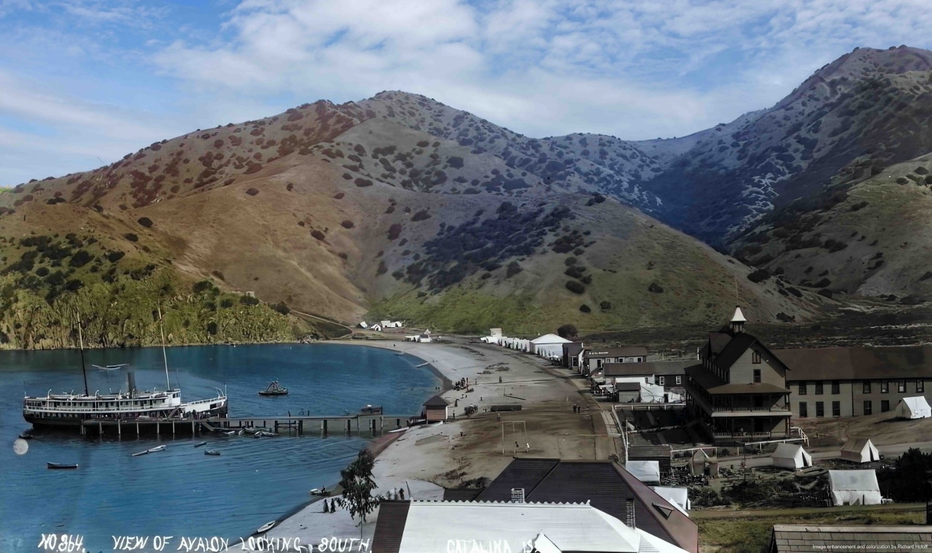
| (ca. 1890s)* - Colorized view of Avalon Harbor with the S.S. Hermosa docked near the Hotel Metropole surrounded by Tent City. Image enhanced and colorized by Richard Holoff. |
Historical Notes This colorized image restores the atmosphere of Avalon during the island’s formative resort years. The S.S. Hermosa sits at the pier while tents line the waterfront beside the Hotel Metropole. The dry hills rising behind the harbor reveal how little permanent development had yet reached the island beyond the shoreline settlement. The image also highlights the unusual contrast that defined early Catalina. Visitors arrived in formal clothing and stayed at resort hotels or organized tent camps while still surrounded by a rugged landscape that remained largely untouched. That balance between refinement and frontier scenery helped establish Avalon’s reputation as one of California’s most distinctive vacation destinations. |
 |
|
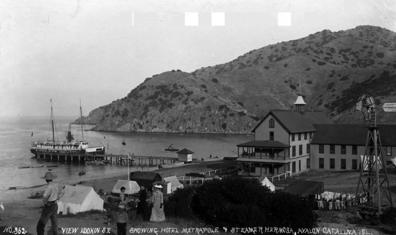
| (ca. 1890s)* - Panoramic view looking southeast across Avalon Harbor showing the Hotel Metropole, the S.S. Hermosa, tents, rowboats, a windmill, and residents gathered near the waterfront. |
Historical Notes This panoramic harbor scene captures daily life in Avalon during the closing years of the 19th century. The Hotel Metropole anchors the shoreline while tents crowd the beachfront and small boats fill the calm waters of the harbor. In the foreground, residents and visitors dressed in formal Victorian clothing gather near a windmill and clothesline, small details that reveal the mixture of resort life and practical frontier living that characterized early Avalon. Although tourists came to Catalina seeking recreation and escape, Avalon still depended on basic systems that reflected its isolation from the mainland. Fresh water remained limited, supplies arrived by ship, and much of the town operated seasonally around the arrival of steamship passengers. The scene captures a community still balancing between temporary camp and permanent town. |
* * * * * |
Avalon’s First Businesses |
The Hotel Metropole and the growing tent camps gave visitors a place to stay, but Avalon’s future depended on something more permanent taking root along its dusty streets. During the late 1880s and early 1890s, small hotels, bakeries, grocery stores, shell shops, and restaurants began appearing near the waterfront, transforming the young settlement from a seasonal resort camp into a functioning town. Wooden storefronts lined the unpaved roads while freight, food, and supplies arrived daily by steamship from the mainland.Among Avalon’s earliest and most important businessmen was Alonzo W. Wheeler, who purchased the first lot ever sold in Avalon from George Shatto in 1887. Wheeler quickly built a small business empire that included the Avalon Hotel, a bakery, grocery store, shell shop, ice cream parlor, and the schooner Ruby, one of the earliest vessels making regular trips between Catalina and the mainland. His businesses became part of the commercial foundation that helped support Avalon’s growing tourism economy.The modest storefronts appearing along Crescent Avenue during these years represented more than simple commerce. They reflected a growing confidence that Avalon was becoming something lasting. A bakery, shell store, and ice cream parlor were signs that Catalina was evolving beyond a speculative resort venture into a permanent seaside community with an increasingly active commercial center. |
 |
|
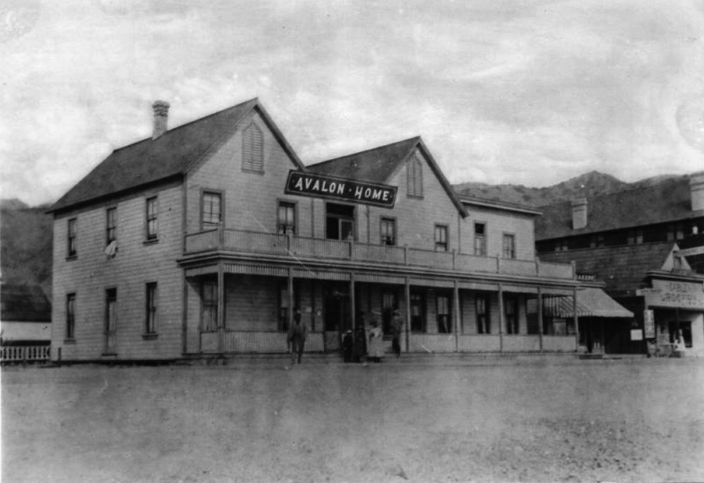
| (1889)* – View of Alonzo Wheeler’s Avalon Hotel on Crescent Avenue, with the Hotel Metropole visible at far right. |
Historical Notes Alonzo Wheeler purchased Avalon’s first sold lot from George Shatto in 1887 and quickly established himself as one of the island’s leading early businessmen. By 1889, his two story Avalon Hotel stood along Crescent Avenue with a covered porch, second floor balcony, and neighboring bakery and grocery store visible nearby. Wheeler also owned the schooner Ruby, one of the earliest vessels making regular runs between Catalina and the mainland. The Avalon Hotel occupied an important location near the growing waterfront district. Although the larger Hotel Metropole dominated Avalon’s skyline, Wheeler’s more modest hotel helped serve the increasing number of visitors arriving each summer by steamship. Together, these early hotels anchored the beginnings of Crescent Avenue, the street that would eventually become Avalon’s commercial and social center. |
 |
|
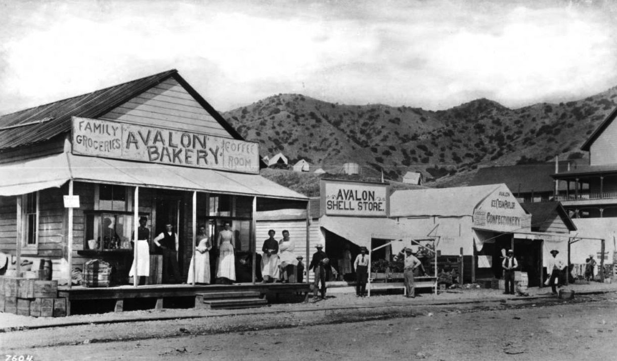
| (ca. 1895)* – View of Alonzo Wheeler’s Bakery and adjoining shell store and ice cream parlor along an unpaved street in Avalon. |
Historical Notes By the mid 1890s, Wheeler’s business interests had expanded well beyond his original hotel. His bakery, shell store, grocery, and ice cream parlor occupied neighboring storefronts along the dusty unpaved street, forming one of Avalon’s earliest commercial blocks. Freight crates, trunks, and supplies stacked outside the buildings reflect the steady flow of goods arriving from the mainland to support the growing resort town. The businesses visible here capture an important turning point in Avalon’s early history. Shell shops and ice cream parlors were not frontier necessities. They were businesses designed for visitors with leisure time to explore, shop, and enjoy the island. What had begun only a few years earlier as a rough harbor settlement was steadily evolving into a mature resort community built around tourism, recreation, and seaside life. |
* * * * * |
Holly Hill House and Avalon’s Hillside Homes |
As Tent City spread across the shoreline below Avalon Harbor, a different kind of development began appearing on the hillsides above the bay. Small cottages, boarding houses, and private residences slowly emerged overlooking the growing resort town, offering panoramic views of Sugarloaf Point, the harbor, and the steady arrival of steamships from the mainland. These hillside homes represented Avalon’s gradual transition from a temporary summer encampment into a more permanent community.Among the earliest and most recognizable of these structures was Holly Hill House, originally known as Lookout Cot. Built in 1890 by retired Pasadena engineer Peter Gano, the Victorian style residence occupied a commanding perch above Avalon Bay and quickly became one of the island’s most photographed homes. Its elevated cupola and broad views made it a prominent landmark visible from both the harbor and the surrounding hillsides.Unlike the tents and temporary structures covering much of Avalon below, Holly Hill House symbolized permanence. More than a century later, the home still stands overlooking Avalon Harbor, making it one of Avalon’s oldest surviving homes and one of the few remaining direct links to Catalina’s earliest resort era. |
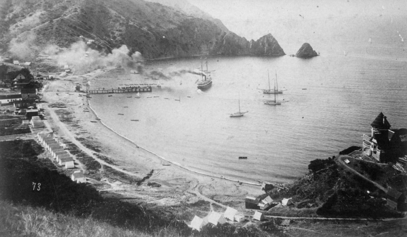 |
|
| (1891)* – Panoramic view of Avalon Bay showing Sugarloaf Point, Tent City, the S.S. Hermosa, and Holly Hill House overlooking the harbor from the hillside above. |
Historical Notes This 1891 panorama captures Avalon at a pivotal moment in its early history. Tent City spreads across the shoreline beneath Sugarloaf Point while the S.S. Hermosa makes its way out of Avalon Harbor toward the mainland. High on the hillside at right, Holly Hill House stands with commanding views across the bay, already a permanent landmark above a town that was still largely canvas. Few photographs better capture the contrast between the temporary settlement below and the permanence beginning to appear above it. That same year, the sons of Phineas Banning purchased Catalina Island from the estate of James Lick and established the Santa Catalina Island Company. The Bannings brought motivations that extended beyond tourism. They needed Catalina’s granite for a breakwater at Wilmington and had already invested heavily in the S.S. Hermosa to carry visitors across the channel. By owning the island, they controlled both the rock and the passage. Their investment in roads, utilities, hotels, camps, and transportation helped transform the rough harbor settlement visible below Holly Hill House into one of California’s best known seaside resorts. |
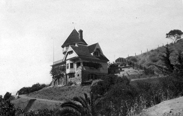 |
|
| (1892)* - View of the Peter Gano home, first known as Lookout Cot and later renamed Holly Hill House, on the hill overlooking Avalon Bay. |
Historical Notes Lookout Cot, later known as Holly Hill House, was built in 1890 as a private residence by Peter Gano, a retired engineer from Pasadena. Gano had purchased the hillside lot from George Shatto and his agent C. A. Summer two years earlier for $500. The Victorian style home, with its cupola, wrap around veranda, and commanding hillside position, stood apart from nearly every other structure then existing in Avalon. While the Hotel Metropole served as Avalon’s social center near the waterfront, Lookout Cot represented something very different — a permanent private residence overlooking a town that was still largely seasonal. Gano’s decision to build here reflected an early confidence in Avalon’s future and helped establish the pattern of hillside residential development that still characterizes much of the city today. |
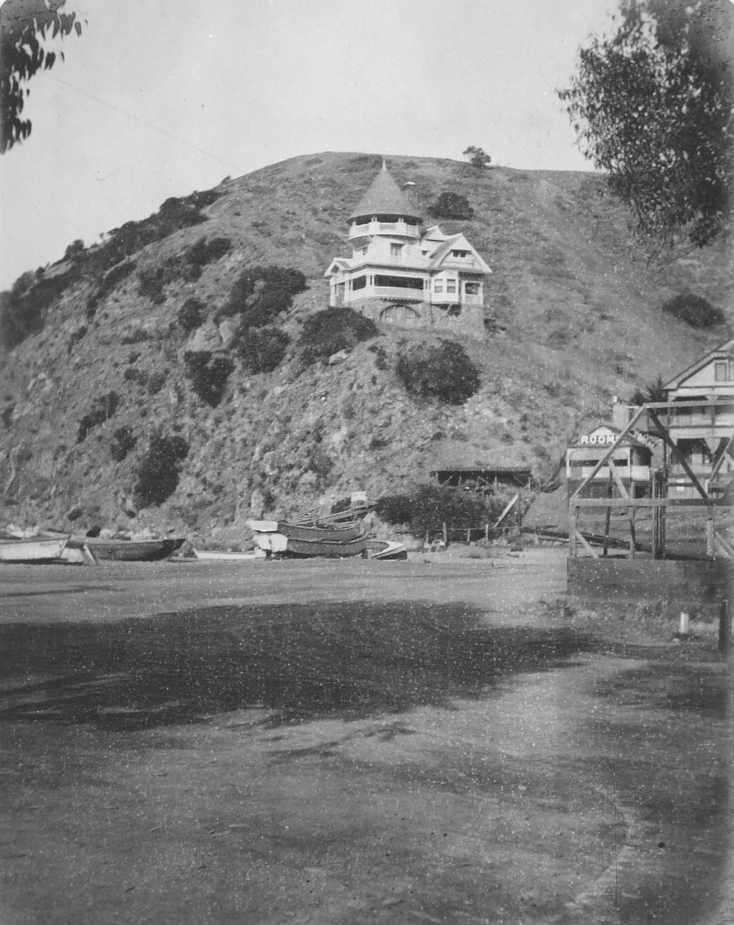 |
|
| (1903)* - Holly Hill House as seen from the beach at Avalon Bay. Jennett Family Collection - Courtesy of Gilbert C. Jennett. |
Historical Notes By 1903, Holly Hill House had stood above Avalon Harbor for more than a decade, surviving the financial collapse of George Shatto, the transition to Banning ownership, and the rapid expansion of Avalon below. The town visible from the beach in this photograph, with its piers, hotels, bathhouses, and growing commercial district, bore little resemblance to the rough settlement Peter Gano had looked down upon when he completed the home in 1890. Yet the house itself remained remarkably unchanged. Its cupola and broad veranda continued to overlook the harbor much as they had during Avalon’s earliest years. More than 130 years after it was built, Holly Hill House still stands today as one of Avalon’s oldest surviving homes and one of the island’s most important architectural links to the Victorian era. |
Then and Now
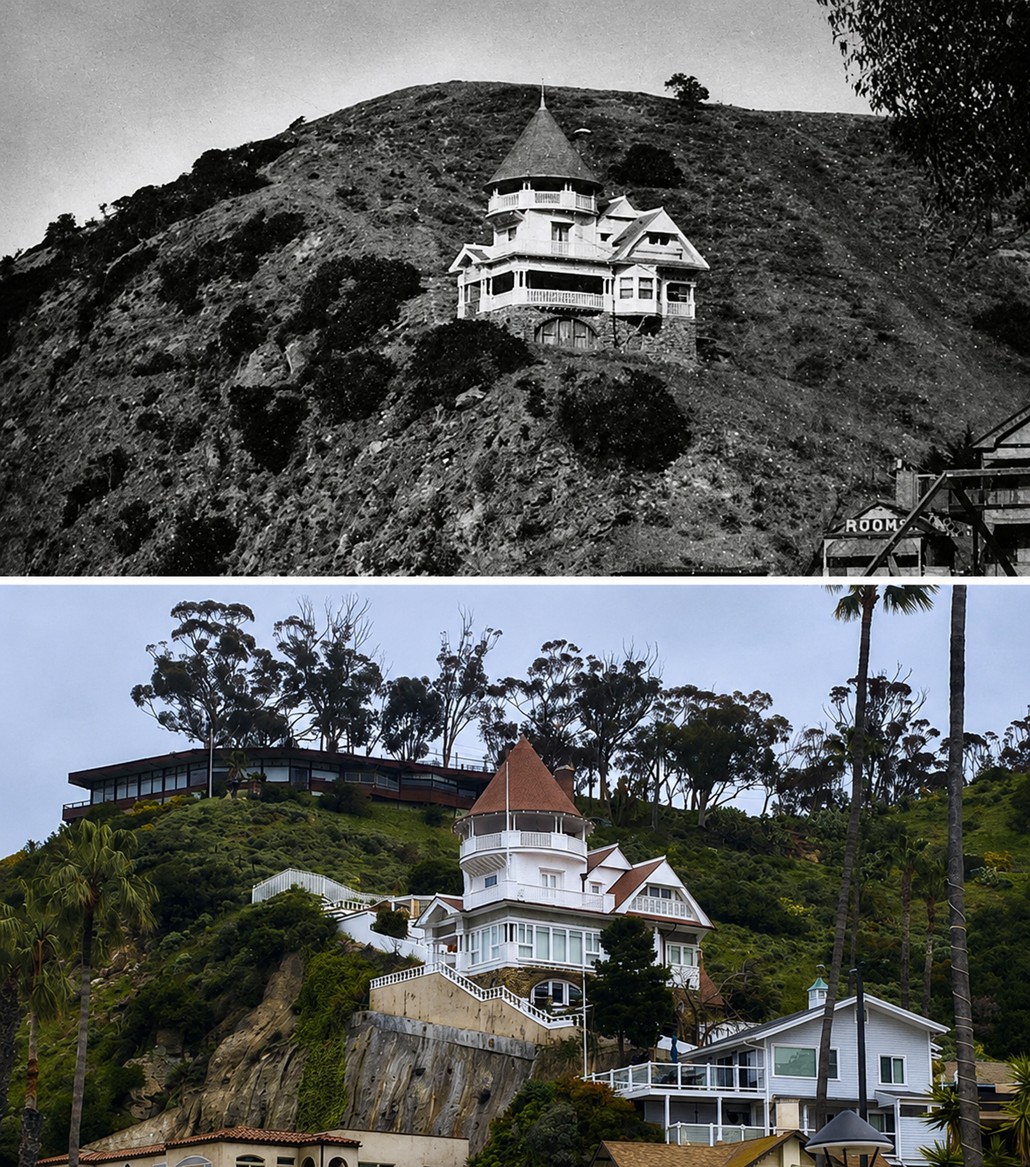 |
|
| (1903 vs. 2023)* - Holly Hill House - Then and Now. Photo comparison by Jack Feldman. |
Historical Notes More than 120 years separate these two views of Holly Hill House overlooking Avalon Harbor. Although Avalon has grown dramatically since the early 1900s, the historic home remains immediately recognizable, still occupying the same hillside perch above the bay with broad views across the harbor below. Nearly every other structure from Avalon’s founding era has been rebuilt, replaced, or lost to fire. Holly Hill House remains one of the island’s most recognizable surviving links to Avalon’s earliest resort years, a constant presence above a town that has transformed repeatedly around it. |
* * * * * |
Rag City: Life in the Tent Community |
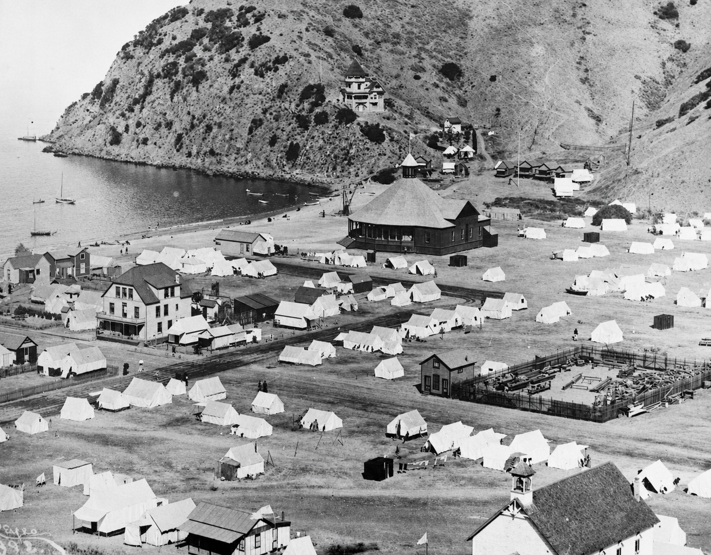
By the mid 1890s, Avalon’s tent community had grown far beyond anything George Shatto imagined when he first began selling lots along the harbor. What began as simple overflow lodging for visitors unable to afford the Hotel Metropole had evolved into a full seasonal neighborhood with its own streets, routines, and sense of identity. Families from Pasadena, Monrovia, Los Angeles, and communities across Southern California arrived each summer by steamship and settled into canvas homes they often returned to year after year. Tent clusters took on the names of hometowns, platforms were decorated with American flags, and evenings were filled with shared meals, music, conversation, and card games beneath the glow of lantern light.The panoramic views captured during these years reveal how completely Tent City came to define early Avalon. From the hills above Sugarloaf Point, the harbor appears less like a resort town than a canvas city surrounding a small collection of permanent buildings. Tents stretched across nearly every available flat space near the waterfront while steamships arrived daily carrying new visitors to the growing seaside settlement below. Despite its rough appearance, Rag City offered something many visitors found irresistible — an affordable and informal way to experience Catalina’s ocean air, dramatic scenery, and slower pace of life far removed from the increasingly crowded mainland cities. |
 |
|
| (ca. 1893)* - Avalon Bay and Avalon, nicknamed “Rag City” for its tents. |
Historical Notes This panoramic view of Avalon Bay around 1893 captures Tent City at its most visually striking. Hundreds of canvas tents spread across the harborfront beneath the surrounding hills while the large circular dance pavilion stands prominently near the center of the settlement. High above the harbor, Holly Hill House rises from the hillside overlooking the bay, while at lower right the Community Congregational Church reflects one of the earliest signs that Avalon was beginning to develop institutions associated with a more permanent town. Remarkably, both Holly Hill House and the Community Congregational Church still stand in Avalon today. The nickname “Rag City” was used affectionately by visitors who embraced the informal atmosphere of Avalon’s tent community. For many families, the tents were not considered temporary hardship accommodations but an essential part of the Catalina experience itself. The combination of ocean air, harbor scenery, wooden dance pavilions, and canvas living created a seasonal community unlike anything then existing elsewhere in Southern California. |
 |
|
| (1892)* – View looking east toward Avalon Bay with buildings and house tents sharing the foreground while a steamboat approaches the harbor in the distance. |
| Historical Notes
This 1892 view captures Avalon during the first year of Banning ownership, when the future of the island was still taking shape. House tents and permanent wooden buildings occupy the foreground in nearly equal numbers while a steamboat trails black smoke approaching Avalon Bay from the mainland. The mixture of temporary and permanent structures reflects a town still balancing between rough encampment and organized resort community. Within only a few years of purchasing Catalina in 1891, the Banning brothers expanded the Hotel Metropole, planted trees along Avalon’s streets, improved steamship service, and developed roads into the island’s interior. The modest harbor settlement visible here would change dramatically by the turn of the century as tourism and investment continued reshaping the town. |
 |
|
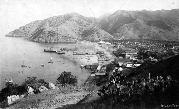
| (ca. 1898)* - View looking south toward Avalon from the mountain above Sugarloaf Point. Two steamships rest near the pier while tents spread across the valley floor below. |
| Historical Notes
Seen from high above Sugarloaf Point during the late 1890s, Avalon’s rapid growth becomes unmistakable. The Hotel Metropole remains the largest structure in town while tents continue spreading across the flats and hillsides surrounding the harbor. Steamships docked near the pier delivered the steady flow of tourists whose arrival fueled Avalon’s expanding economy. The elevated vantage point also reveals Avalon’s geographic limitations. Hemmed in by mountains on three sides and the harbor on the fourth, the town possessed only limited flat land for development. As Avalon continued growing during the decades ahead, homes, hotels, and apartment buildings would increasingly climb the surrounding hillsides overlooking the bay. |
 |
|
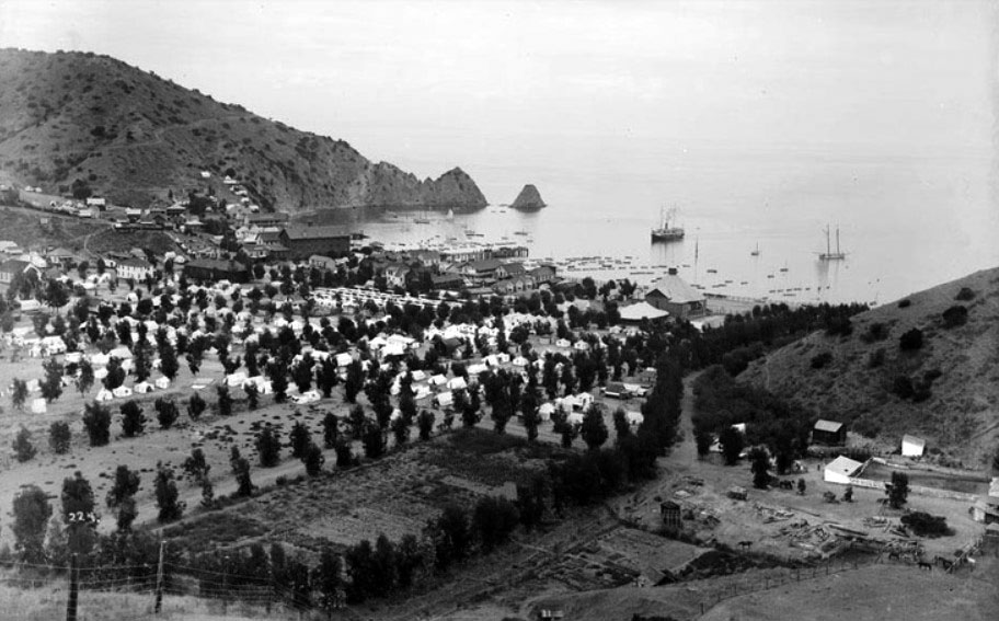
| (ca. 1897)* - View showing house tents throughout Avalon as newly planted trees begin growing along the unpaved streets. |
Historical Notes By the late 1890s, the trees planted by the Banning brothers along Avalon’s dusty streets were beginning to soften the appearance of the young resort town. House tents filled much of the harbor area while newly planted vegetation gradually transformed the previously barren landscape into a more attractive and welcoming setting for visitors arriving from the mainland. To encourage tourism, the Banning brothers advertised “Free Camp Grounds, with Water” as part of the steamship fare to Catalina. The strategy proved highly successful. Thousands of visitors arrived each summer, many choosing Tent City accommodations over the more expensive Hotel Metropole. The growing tent community soon became one of Avalon’s defining attractions. |
 |
|
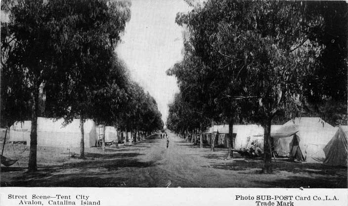
| (ca. 1898)* - Postcard view showing the area known as Tent City in Avalon, Santa Catalina Island. |
Historical Notes By the late 1890s, Tent City had become one of Catalina’s most recognizable attractions, appearing frequently in postcards, travel brochures, and promotional advertisements distributed throughout Southern California. The postcard itself reflects Avalon’s growing reputation as a fashionable and widely marketed resort destination. The organized tent grounds offered visitors an experience that blended camping with many of the conveniences of town life. Water service, furnished tents, nearby stores, restaurants, and organized recreation allowed families to enjoy Catalina’s scenery and ocean climate without the expense of staying in a major hotel. Tent City gradually evolved into a seasonal community that returned year after year. |
 |
|
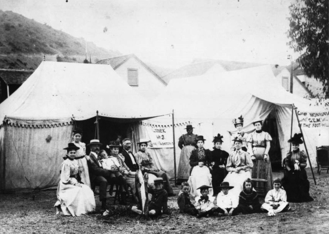
| (1890s)* - Group portrait in front of large tents at Camp Monrovia on Santa Catalina Island. Signs identify the camp as “Camp Monrovia – Gem of the Foothills.” |
Historical Notes Groups from communities throughout Southern California frequently established organized tent camps in Avalon during the summer season. Camp Monrovia, seen here, represented one of many social and civic groups that returned regularly to Catalina each year, creating familiar seasonal neighborhoods within Tent City itself. During the 1890s, approximately one hundred furnished tents were rented each summer, with the number steadily increasing after the turn of the century. Tent rentals typically included bedding, simple furnishings, cooking equipment, and access to water service. For many middle class families, Tent City offered an affordable way to spend extended vacations beside the ocean. |
 |
|
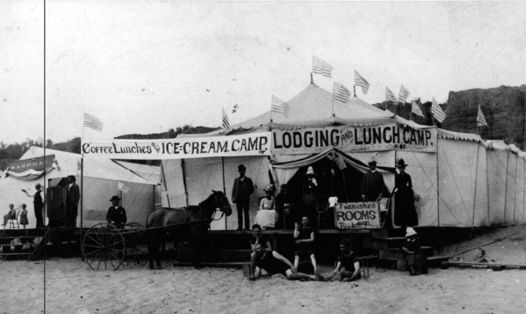
| (ca. 1890s)* - Group posing in front of a large platform tent advertising lunches, lodging, ice cream, and furnished rooms. |
| Historical Notes
This large platform tent illustrates the commercial side of Avalon’s canvas economy. Businesses operating from temporary tent structures offered meals, lodging, refreshments, and supplies to the growing number of visitors arriving each summer. American flags flying above the tent and the horse drawn wagon parked nearby suggest a well established seasonal business rather than a simple campsite. Avalon’s early commercial district depended heavily upon canvas construction during the resort’s formative years. Restaurants, shell shops, grocery stands, bakeries, and lodging camps frequently operated from seasonal tent structures assembled each summer and removed after the tourist season ended. Long before permanent buildings filled Avalon’s streets, much of the town’s economy functioned beneath canvas roofs. |
 |
|
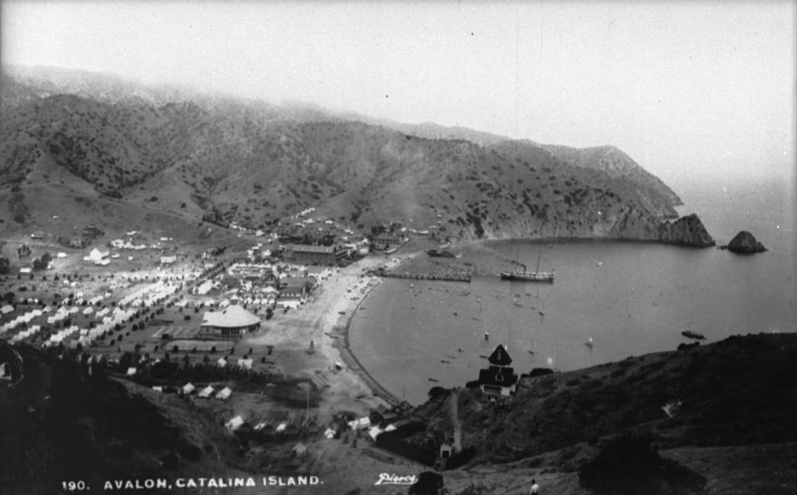
| (ca. 1905)* - View of Avalon Bay from the hillside above Holly Hill House. Tents cover much of the valley floor below while a steamer approaches the harbor pier. |
| Historical Notes
From the hillside above Holly Hill House around 1900, the full scale of Tent City becomes visible. Canvas structures stretch across nearly every flat section of the harbor basin while steamships continue delivering visitors from the mainland below. Although Avalon had grown rapidly since the 1880s, much of the town still retained the appearance of a temporary seasonal settlement. The view also highlights the dramatic landscape surrounding Avalon Harbor. Beyond the waterfront and tent camps, Catalina remained largely undeveloped, consisting of rugged canyons, steep hillsides, and isolated interior valleys. The contrast between the crowded harbor settlement and the wild terrain beyond helped shape Catalina’s appeal as both resort destination and island escape. |
 |
|
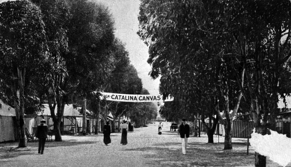
| (1906)* – Postcard view down a street in Tent City, now promoted as “Catalina Canvas City.” The postcard message reads: “This is where I spent Labor Day. Elmer.” |
| Historical Notes
By 1906, Tent City had become such an established part of Avalon life that postcards increasingly referred to it as “Catalina Canvas City,” a name that gave the sprawling tent community a more polished and marketable identity. Streets lined with canvas structures stretched across the harbor flats while visitors moved between camps, stores, restaurants, and recreation areas throughout the busy summer season. The handwritten postcard message captures the personal and informal nature of the Catalina experience during these years. For thousands of visitors arriving each summer, Canvas City was not merely inexpensive lodging but the center of a unique social community built around ocean travel, outdoor living, and seasonal escape from mainland city life. |
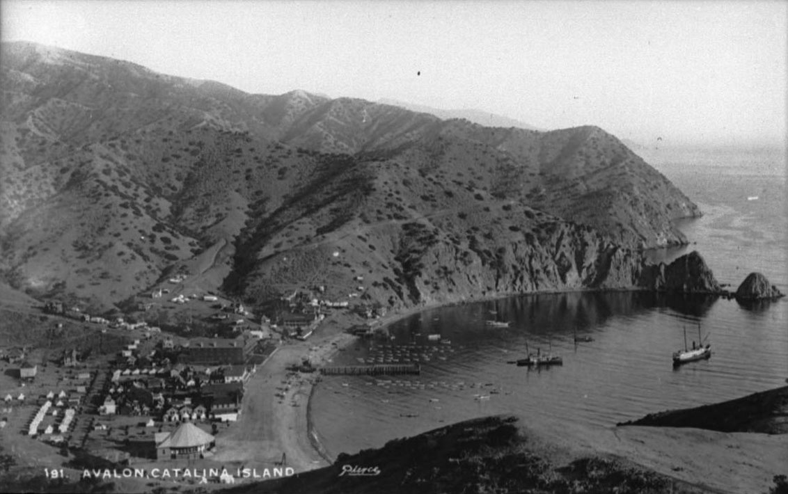 |
|
| (ca. 1905)* - Panoramic view of Avalon Harbor from a higher elevation in the south. Two steamships rest in the bay while Sugarloaf Point rises prominently at right. |
| Historical Notes
This elevated panorama captures Avalon Harbor at the height of the Banning era around 1900. Steamships anchor in the calm waters of the bay while piers, tents, wooden buildings, and hotels cluster tightly along the narrow waterfront beneath the surrounding mountains. Sugarloaf Point still dominates the northern edge of the harbor, years before its eventual removal during construction of the Sugarloaf Casino and later the Catalina Casino. The protected crescent shape of Avalon Bay helps explain why George Shatto originally selected this location for his resort development during the 1880s. The sheltered harbor offered calm anchorage, scenic beauty, and relatively easy access from the mainland — qualities that helped Avalon become Southern California’s most successful island resort community during the early 20th century. |
* * * * * |
Avalon Comes of Age |
By the turn of the 20th century, Avalon was no longer simply a tent camp surrounding a single hotel. Under the steady management of the Banning brothers, the town had acquired many of the essentials of a functioning resort community: graded streets, water service, growing commercial blocks, expanded steamship operations, and an increasingly active waterfront. The Hotel Metropole had already been enlarged, new homes climbed the hillsides above the harbor, and permanent buildings steadily replaced many of the earlier canvas structures. Avalon was beginning to evolve from seasonal outpost into established seaside town.The Bannings understood that transportation, infrastructure, and recreation all worked together. Beyond improving Avalon itself, they opened roads into Catalina’s rugged interior, established stagecoach excursions, developed scenic overlooks, and promoted the island as far more than simply a beach destination. Visitors arriving by steamship could now explore the harbor, the hills, the beaches, and the remote interior landscapes that had once been accessible only to ranchers, hunters, and a handful of adventurous travelers. |
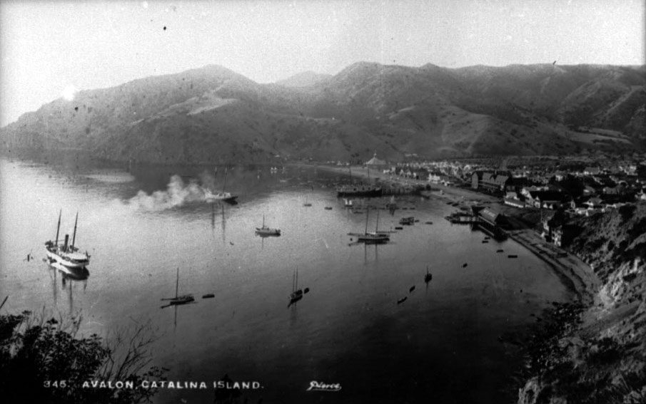 |
|
| (ca. 1895)* - Postcard view of Avalon Harbor from a mountain top above Sugarloaf looking south. About twenty small boats and a ship are in the harbor while part of Avalon is visible at right. |
Historical Notes Seen from high above Sugarloaf Point around 1900, Avalon appears dramatically different from the isolated settlement of only a decade earlier. Steamships, sailboats, rowboats, and pleasure craft now fill the harbor while the growing town spreads along the shoreline beneath the surrounding mountains. What had once been little more than a scattering of tents and temporary structures was steadily evolving into a recognizable resort community. The rugged mountains visible beyond the harbor also reveal how geographically isolated Avalon remained despite its rapid growth. Beyond the waterfront settlement, most of Catalina still consisted of steep canyons, rough trails, and undeveloped wilderness. The Banning brothers began opening parts of that interior to visitors through roads, stagecoach routes, scenic excursions, and hunting lodges, allowing tourists to experience far more of the island than the harbor alone. |
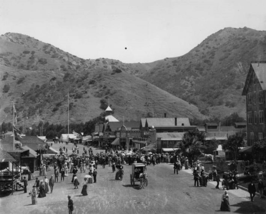 |
|
| (ca. 1900)* - Photograph of a wide dirt street in Avalon lined with wooden buildings, pedestrians, and horse drawn carriages. The Hotel Metropole is visible at far right. |
Historical Notes This busy street scene captures Avalon at the height of the summer season during the early 1900s. Pedestrians fill the broad unpaved roadway while horse drawn wagons and carriages move between hotels, stores, boarding houses, and tourist businesses lining the street. Holly Hill House rises in the distance above the town while the Hotel Metropole remains the dominant structure near the waterfront. The Banning brothers had largely fulfilled George Shatto’s original vision for Avalon by transforming the rough harbor settlement into a functioning resort community with expanding infrastructure and organized recreation. In addition to the commercial district visible here, Avalon offered dance pavilions, bath houses, stagecoach excursions, boating, fishing, tennis courts, and scenic tours into Catalina’s interior. Avalon was no longer being invented. It had arrived. |
* * * * * |
Sugarloaf Point and Avalon Harbor |
No natural feature was more closely associated with early Avalon Harbor than the twin rocky outcroppings known as Big Sugarloaf and Little Sugarloaf. Standing prominently at the entrance to the bay, the formations became some of the most recognizable landmarks on Santa Catalina Island and helped define Avalon’s early appearance for generations of visitors arriving by steamship. Long before the Catalina Casino occupied the site, passengers approaching Avalon first recognized the town by the distinctive rock formation rising beside the harbor.The formations were composed of ancient igneous rock tied to Catalina’s volcanic geologic past. During the late nineteenth and early twentieth centuries, Sugarloaf Point became closely associated with Avalon’s growing identity as a seaside resort destination. Wooden stairways, observation platforms, and pathways were eventually constructed along the steep slopes and rocky surfaces, allowing visitors to climb the formations and enjoy sweeping views of Avalon, the harbor, and the open Pacific beyond. Swimming areas clustered around the protected shoreline beneath the rugged cliffs, while excursion guides regularly promoted the climb as one of the island’s most memorable experiences.What makes many of these scenes especially poignant today is knowing what eventually disappeared. Between 1917 and 1929, both Sugarloaf formations were gradually dynamited and removed to make way first for the Sugarloaf Casino dance hall and later for the larger Catalina Casino that stands there today. One of Avalon’s most recognizable natural landmarks vanished almost entirely from the landscape, surviving primarily through photographs, postcards, and the memories preserved in images such as these. |
 |
|
| (ca. 1900)* - View of Avalon Harbor with Sugarloaf rock formation seen in the background. |
Historical Notes For decades, Sugarloaf Point served as Avalon Harbor’s defining natural landmark. Steamship passengers approaching Catalina from the mainland often saw the towering rock outcroppings long before the town itself came fully into view. Sailors used the distinctive formations to gain their bearings entering Avalon Bay, and the point quickly became one of the island’s most recognizable visual symbols. The harbor scene below Sugarloaf reveals the dramatic setting that helped distinguish Avalon from mainland beach resorts. The protected crescent of Avalon Bay, the steep surrounding mountains, and the massive rock formations rising above the shoreline created a sense of enclosure and spectacle unlike anywhere else along the Southern California coast. The image captures a landscape that would remain visually unchanged only a few more decades before the Sugarloaf formations themselves disappeared. |
 |
|
| (ca. 1900)* - View of Avalon Harbor with Sugarloaf rock formation seen in the background. Image enhancement and colorization by Richard Holoff. |
Historical Notes This colorized scene restores the warmth and atmosphere of Avalon Harbor during the years when Sugarloaf Point still towered above the waterfront. Sailboats rest quietly in the protected bay while the sheer cliffs rise behind the growing resort town. The contrast between the rugged natural landscape and the expanding tourist development below became one of Catalina’s defining visual characteristics. Sugarloaf Point consisted of two major formations known as Big Sugarloaf and Little Sugarloaf connected by a narrow ridge. Both formations were eventually removed during construction projects associated with the Sugarloaf Casino and the later Catalina Casino. Images such as this preserve the appearance of a landmark that shaped Avalon’s identity for generations before vanishing from the harbor entirely. |
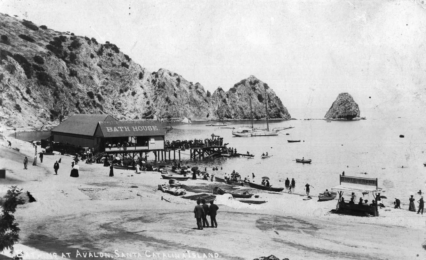 |
|
| (ca. 1900)* - View of Catalina Island Bath House with Sugarloaf visible in the background as visitors gather along the beach and pier. People enjoy a summer day beside Avalon Bay while sailboats and rowboats rest in the harbor. |
Historical Notes As Avalon’s popularity increased, bathing beaches and waterfront recreation became central parts of the Catalina experience. The Catalina Island Bath House provided changing facilities, swimming access, and seaside amenities for visitors spending long summer days along Avalon Bay. Sailboats, rowboats, and swimmers filled the calm harbor waters beneath the shadow of Sugarloaf Point. Swimming at Catalina during the late 19th and early 20th centuries was as much a social activity as a recreational one. Families gathered along the beach, rented bathing suits, strolled the waterfront, and spent hours enjoying the harbor scenery and ocean air. The Bath House helped transform Avalon’s shoreline into one of Southern California’s earliest organized seaside recreation destinations. |
 |
|
| (1900)* – Closer view of the Santa Catalina Island Bath House and bathers. |
| Historical Notes
This closer view captures the relaxed and social atmosphere that helped define Avalon during its early resort years. Visitors in wool bathing attire gather along the shoreline and shallow waters while others watch from the nearby pier. Even in these informal beach settings, Victorian social customs remained visible in both dress and behavior. The Bath House itself was modest but essential to Avalon’s growing tourism economy. By providing organized facilities for changing, bathing, and gathering, it made Catalina’s waterfront more accessible and comfortable for the thousands of visitors arriving each summer by steamship from the mainland. |
 |
|
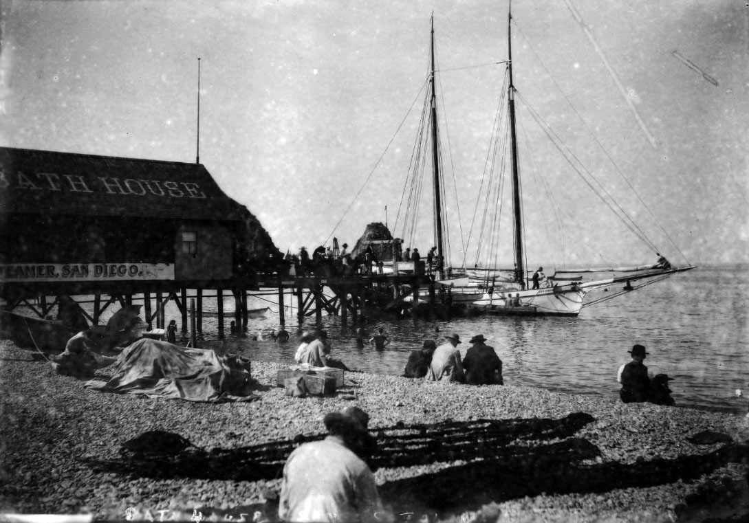
| (ca. 1900)* - “Bathing at Avalon, Santa Catalina Island” - Close view of the Bath House on the shore of Avalon Bay. Some people sit on the beach while others swim near the pier extending into the harbor. A sailboat rests at the end of the pier. |
| Historical Notes
By the early 1900s, beach recreation had become one of Avalon’s greatest attractions. Bath houses, swimming piers, boating excursions, fishing trips, and waterfront promenades transformed Avalon Harbor into a lively center of leisure activity during the busy summer season. Visitors often spent entire days moving between the beach, excursion boats, nearby businesses, and Tent City accommodations spread across the harbor below. The sign advertising steamer service on the side of the Bath House reflects how closely Catalina’s tourism economy depended upon coordinated transportation and recreation. Steamships carried visitors to the island, while Avalon’s hotels, camps, beaches, and waterfront attractions encouraged them to remain longer and return again in future summers. |
* * * * * |
Bathing at Avalon |
Swimming and beach life were central to the Catalina experience from the resort’s earliest days. The clear, protected waters of Avalon Bay made ocean bathing safer and more comfortable than many mainland beaches, while the dramatic backdrop of Sugarloaf Point gave the shoreline a visual identity visitors remembered long after returning home. By the 1890s, the beach below the Hotel Metropole had become one of the most active stretches of waterfront in Southern California, drawing swimmers, boaters, sunbathers, and casual strollers throughout the summer season.Beach culture in Victorian era Avalon operated by rules that seem elaborate today. Men and women bathed in heavy wool suits that covered far more than they revealed, while umbrellas shielded fair skin from the sun and social propriety remained carefully observed even in the water. Yet the photographs from these years consistently convey genuine enjoyment — the kind that comes from spending long summer afternoons outdoors beside the sea. The formality of the clothing makes the informality of the setting all the more striking.The waterfront supporting this recreation was also a working environment. Alongside swimmers and vacationers, fishermen cleaned their catch on the rocks, small boats moved constantly through the harbor, and waterfront labor quietly supported the growing tourist economy surrounding Avalon Bay. Together, these scenes capture both sides of early Catalina life — the leisurely and the practical existing side by side along the same shoreline. |
 |
|
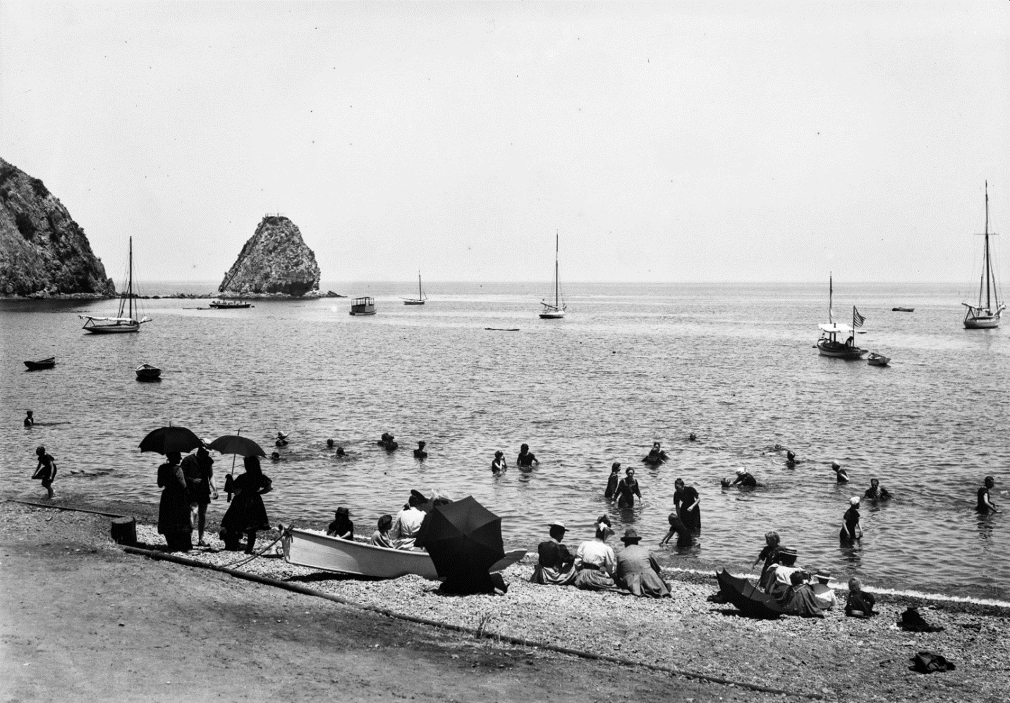
| (ca. 1895)* - Image of men, women, and children in swimsuits sitting on the beach holding umbrellas and swimming in Avalon Bay. Sailboats and Sugarloaf Point are visible in the distance. Ernest Marquez Collection. |
| Historical Notes
This ca. 1895 beach scene captures Avalon’s waterfront during the height of the summer season in the early Banning era. Families gather beneath umbrellas along the sand while swimmers enjoy the calm waters of Avalon Bay. Offshore, sailboats rest quietly in the harbor beneath Sugarloaf Point, the same commanding landmark that guided arriving steamships into Avalon for generations. Umbrellas at the water’s edge were not merely decorative. Victorian social standards viewed deeply tanned skin as undesirable, and visitors who could afford the luxury protected themselves carefully from the sun. The combination of wool bathing suits, parasols, and formal beach attire made ocean bathing a far more structured activity than it would become in later decades — yet the relaxed expressions and casual atmosphere suggest visitors were thoroughly enjoying the experience. |
 |
|
| (1890s)* - Boaters, sunbathers, and swimmers on the beach at Avalon Bay with Sugarloaf Point in the background. |
| Historical Notes
By the 1890s, Avalon’s waterfront had become the social center of the island resort. Swimmers waded into the bay while boaters pulled their vessels onto the sand nearby, and beachgoers gathered along the shoreline within easy reach of the Hotel Metropole and Tent City beyond. Sugarloaf Point anchors the background of the scene much as it dominated nearly every early harbor photograph of Avalon. The Banning brothers quickly recognized that beach access was as important to Catalina’s success as steamship service or hotel accommodations. They invested heavily in bath houses, waterfront facilities, and recreational amenities while promoting Avalon’s bathing beaches throughout Southern California. By the close of the century, the Avalon shoreline had become one of the region’s most recognizable resort images. |
 |
|
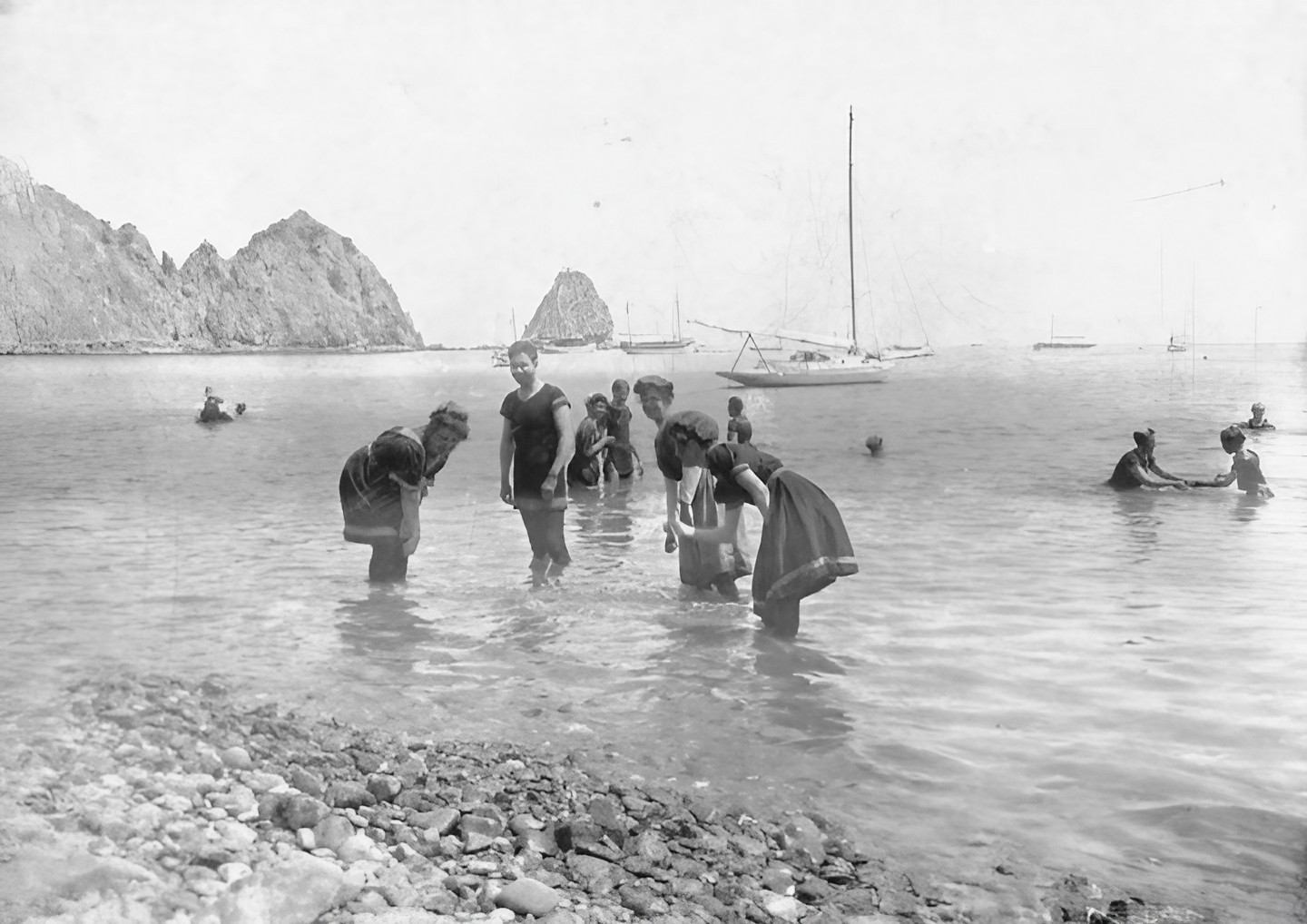
| (ca. 1900)* – Men and women swimming and wading in Avalon Bay while wearing wool bathing suits with white piping. Women wear bathing caps as anchored boats and Sugarloaf Point appear in the distance. |
| Historical Notes
The wool bathing suits visible in this photograph were standard beach attire throughout the United States during the Victorian era. Heavy, modest, and slow to dry, they covered much of the body and were commonly rented at Avalon’s Bath House to visitors arriving without their own swimwear. The white piping trim seen on several suits reflected contemporary fashion while the bathing caps worn by the women were considered both proper and practical. Despite the cumbersome clothing, the swimmers appear entirely comfortable in Avalon’s calm protected harbor waters. Catalina played an important role in popularizing ocean recreation throughout Southern California by offering visitors a setting where swimming felt both fashionable and accessible. For many tourists arriving from inland communities, a swim in Avalon Bay represented their first experience entering the Pacific Ocean. |
 |
|
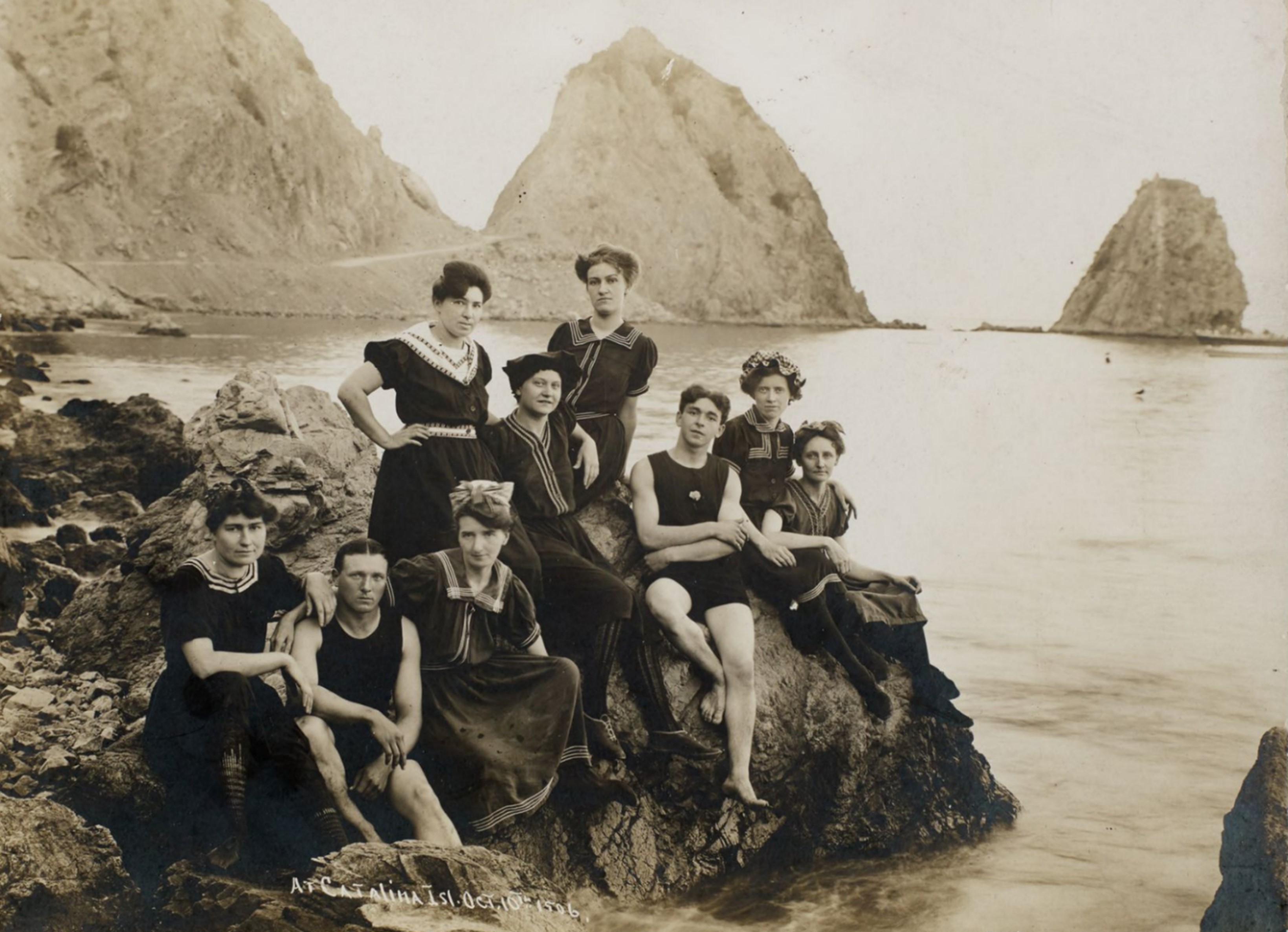
| (1906)* - Group portrait of men and women in bathing suits sitting on rocks near the water with Sugarloaf Point in the background. |
Historical Notes This relaxed group portrait reflects the growing popularity of Catalina as both a recreational destination and social gathering place during the early 20th century. Visitors frequently posed for photographs beside Sugarloaf Point, whose dramatic rocky cliffs had become one of Avalon’s defining visual landmarks and most recognizable tourist attractions. The image also reveals how much Sugarloaf itself had already begun changing. Big Sugarloaf appears noticeably more angular and pronounced than in earlier photographs after portions of the rock were chiseled away to create an access road curving around the Point. The gradual alteration of the formation foreshadowed the much larger demolition projects that would eventually remove Sugarloaf almost entirely during construction of the Sugarloaf Casino and later the Catalina Casino. |
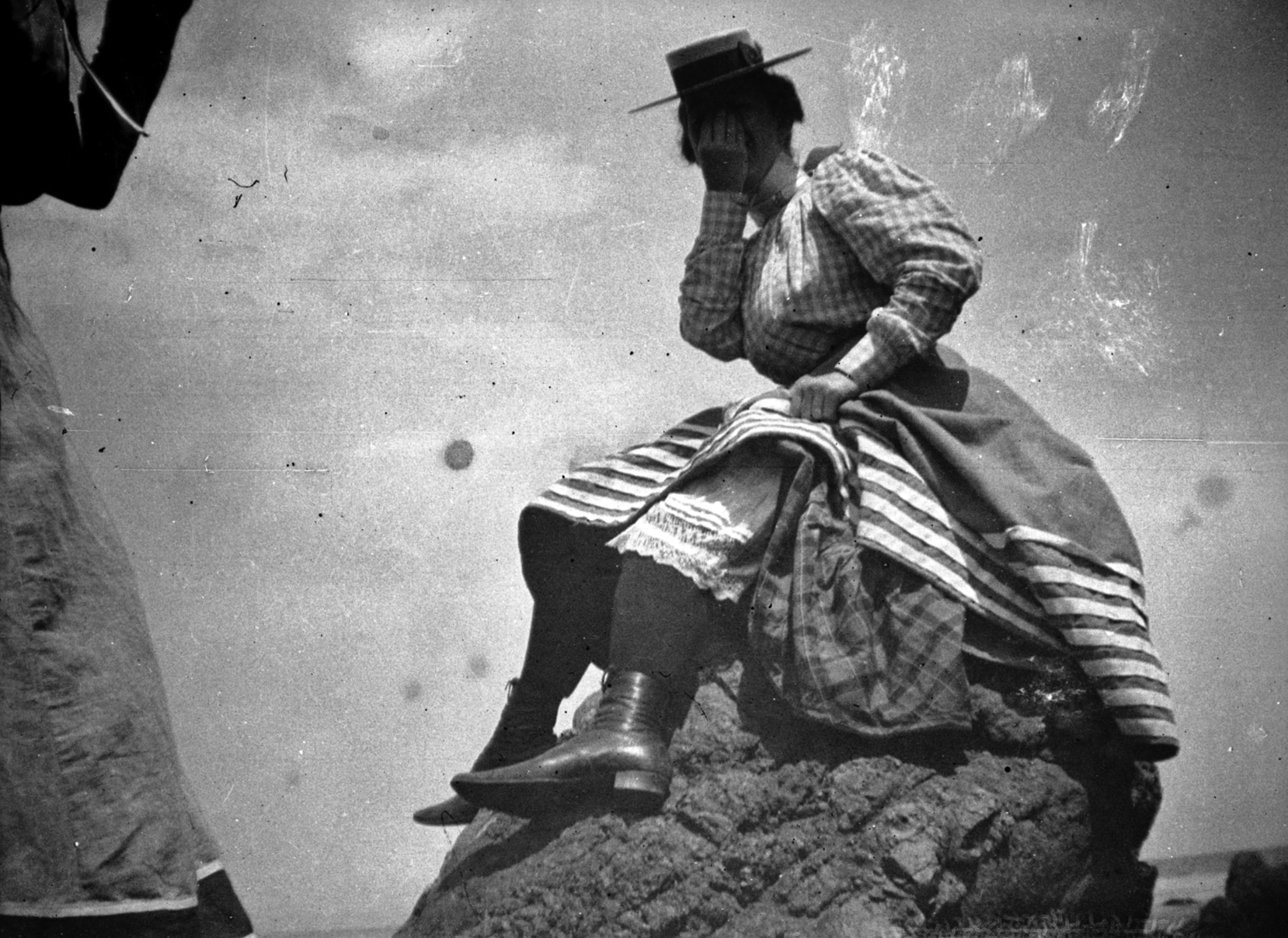 |
|
| (1897)^ - An intimate moment. Young woman raises her skirt exposing ankle and calf, Santa Catalina Island, California. H.H. West Collection, UCLA Library. |
| Historical Notes
This quietly playful photograph captures something the more formal beach portraits of the era rarely reveal: personality. The young woman’s deliberate gesture — raising her skirt just enough to expose an ankle and calf — would have been considered mildly provocative by Victorian standards, a subtle act of informality in a setting that still operated under strict social expectations. Catalina’s beach culture created space for this kind of relaxation of mainland conventions. The island setting, ocean air, and informality of resort life gave visitors a degree of social freedom that was often harder to find at home. Avalon’s beaches were becoming places not only for recreation, but also for experimentation with the changing customs and social attitudes of a new century. |
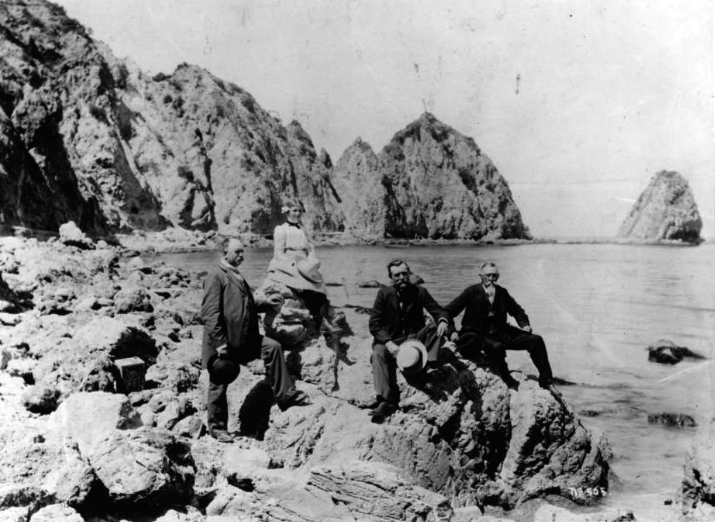 |
|
| (1900)* - Four visitors posed near the Sugarloaf rock formation on July 4, 1900. From left to right are J.J. Bergin, Nora Forthmann, John A. Forthmann, Sr., and W.B. Bergin. |
| Historical Notes
This Fourth of July portrait captures a moment repeated countless times during Avalon’s early resort years: visitors posing beside Sugarloaf Point, the island’s most recognizable landmark. Dressed formally despite the summer heat, the Bergin and Forthmann families represent the increasingly prosperous Southern California visitors who helped fuel Catalina’s rapid growth during the Banning era. The image also preserves Sugarloaf Point near the height of its fame and before the dramatic changes that would reshape the harbor in later decades. Within thirty years, the ancient formation beside which these visitors posed would disappear entirely, replaced first by the Sugarloaf Casino dance hall and later by the Catalina Casino that still occupies the site today. |
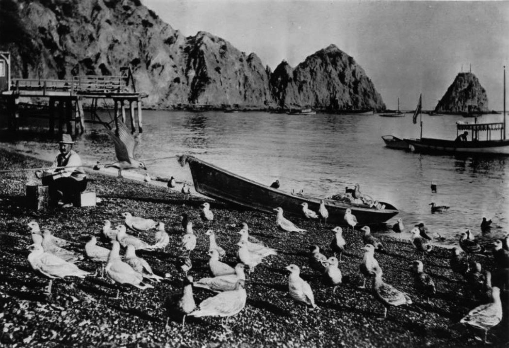 |
|
| (ca. 1900)* - A man identified as Joe Ardago cleans abalone shells along the Avalon waterfront while seagulls gather nearby. |
Historical Notes The man shown in this remarkable waterfront scene was later identified as Joe Ardago, a longtime island character remembered for earning a living through a variety of harbor jobs. Here he cleans abalone shells while feeding the discarded meat to surrounding seagulls. The polished shells themselves were sold to tourists, who prized Catalina abalone as souvenirs of their island visits. Workers like Ardago occupied the edges of Avalon’s growing resort world while quietly helping sustain it. Behind the beaches, hotels, and excursion boats existed an active working waterfront supported by fishermen, shell collectors, guides, boatmen, freight handlers, and countless seasonal laborers. This rare candid photograph preserves a side of Avalon life seldom emphasized in formal tourist imagery. |
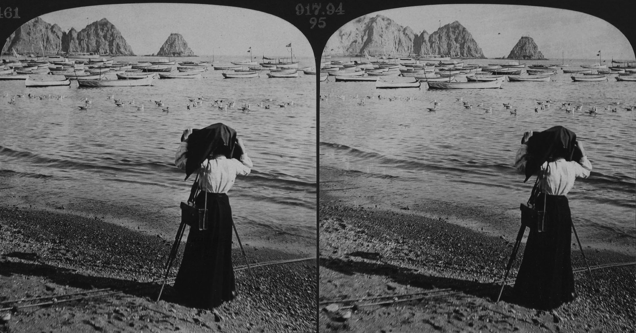 |
|
| (1903)*^ - Stereoscopic view of a woman photographing Sugarloaf Point at Avalon Bay. |
Historical Notes By the early 1900s, photographing Catalina had become part of the tourist experience itself. In this stereoscopic view, a woman stands beside Avalon Harbor carefully aiming her camera toward Sugarloaf Point, preserving the island’s most recognizable landmark through the rapidly growing hobby of amateur photography. The image quietly reflects several important cultural changes taking place during the period. Cameras were becoming more portable and affordable, tourism was expanding rapidly, and visitors increasingly viewed travel as something meant to be documented and shared with others back home. Long before smartphones and vacation selfies, tourists at Catalina were already recording personal experiences against the backdrop of the island’s famous scenery. |
* * * * * |
Climbing Sugarloaf |
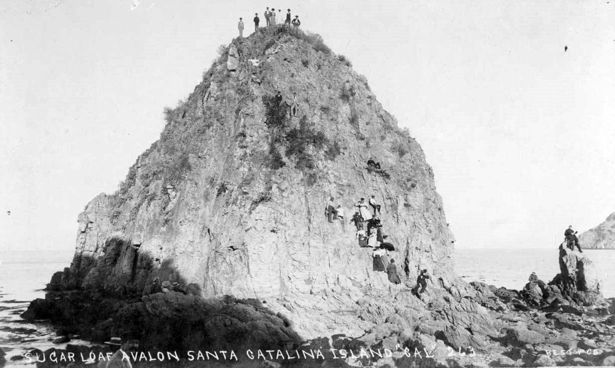
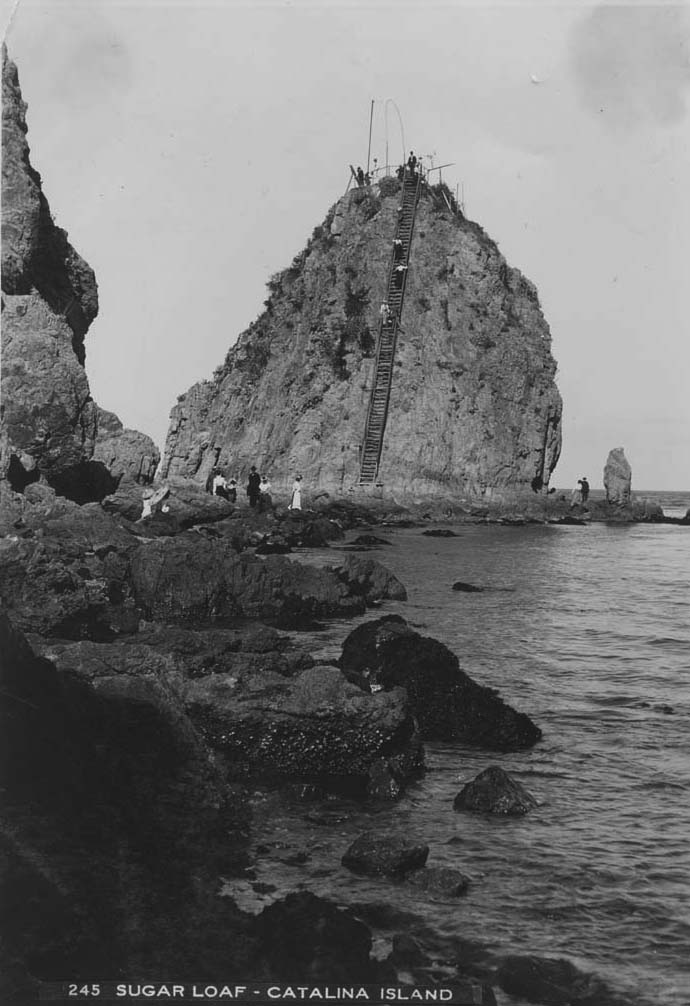
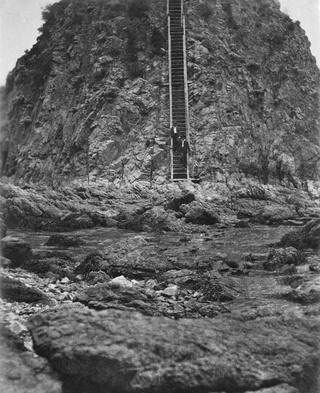
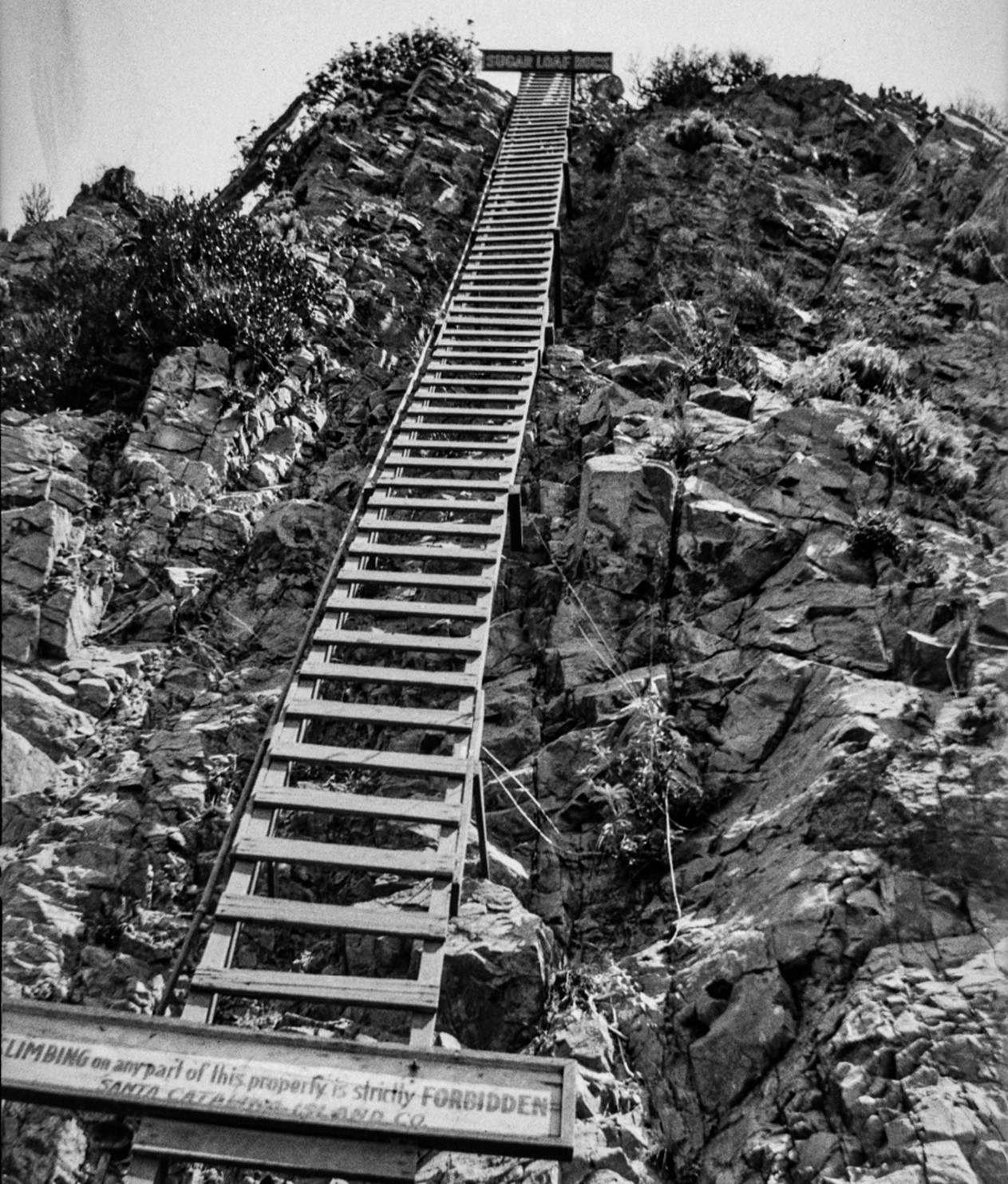
Of all the attractions Avalon offered its early visitors, few combined adventure, scenery, and spectacle quite like climbing Sugarloaf. The twin rocky outcroppings rising above the entrance to Avalon Bay quickly became one of Catalina’s most popular destinations, drawing tourists eager to reach the summit for sweeping views of the harbor, the surrounding mountains, and the open Pacific beyond. Like its famous namesake in Rio de Janeiro, Brazil, Sugarloaf became both a landmark and an experience. In the earliest years, reaching the summit required scrambling up steep rock surfaces using little more than handholds and determination. By 1896, the Banning brothers responded to the rock’s growing popularity by constructing a wooden stairway up its face, transforming Sugarloaf from a difficult climb into one of Avalon’s best known tourist attractions. Visitors in formal clothing and dress shoes now climbed steadily toward the summit platform, stopping along the way to admire the harbor scenery and pose for photographs. The climb would not last forever. By 1917, signs appeared forbidding access to the rock, and the stairway was eventually removed. Within only a few years, Big Sugarloaf was dynamited to make room for the Sugarloaf Casino dance hall, while Little Sugarloaf disappeared in 1929 during construction of the Catalina Casino. The iconic landmark that had defined Avalon Harbor for generations vanished almost entirely from the landscape. The photographs that survive today preserve not only the climb itself, but also the memory of one of Catalina’s most recognizable lost landmarks. |
 |
|
| (ca. 1890)* - Photograph of people posing on the Sugarloaf rock formation in Avalon Harbor, with some standing on the summit while others climb the steep rock face below. |
Historical Notes This early photograph captures Sugarloaf climbing before stairways, platforms, or safety railings transformed the ascent into a formal tourist attraction. Visitors carefully work their way up the steep rock face using whatever handholds the rock provided while others pose proudly atop the summit above Avalon Harbor. Reaching the top required genuine effort, confidence, and a willingness to navigate uneven and potentially dangerous surfaces. Like the Sugarloaf formation in Rio de Janeiro that inspired its name, Catalina’s Sugarloaf quickly became both a landmark and a symbol of the island itself. It appeared in nearly every early harbor photograph, helped orient arriving steamships, and anchored Avalon’s visual identity for decades. The climbers seen here were participating in one of Catalina’s earliest and most memorable tourist traditions. |
 |
|
| (ca. 1900)* - Three women and a man climbing the steep wooden stairway on Sugarloaf while several visitors stand on the viewing platform above. |
Historical Notes The wooden stairway constructed in 1896 transformed Sugarloaf from a challenge into an attraction accessible to far more visitors. Bolted directly onto the bare rock face and rising steeply toward the summit platform, the stairway allowed tourists in ordinary street clothes and formal shoes to experience views that previously required a difficult climb. The panoramic view from the top rewarded the effort. From the summit platform, visitors could see the entire crescent of Avalon Bay spread below them, with the Hotel Metropole, Tent City, Avalon Harbor, anchored steamships, and the rugged mountains beyond all visible at once. Few locations on the island offered a clearer sense of Catalina’s dramatic geography and growing resort community. |
 |
|
| (1903)* - Brothers G.P. and Russel Raymond Jennett descending the wooden stairway at the base of Sugarloaf. Jennett Family Collection - Courtesy of Gilbert C. Jennett. |
| Historical Notes
This close view of the stairway reveals the substantial timber construction required to anchor the structure directly onto Sugarloaf’s steep rocky surface. Brothers G.P. and Russel Raymond Jennett descend carefully while gripping the handrails, their posture reflecting both the steep angle of the climb and the caution required navigating the narrow wooden steps. The Jennett family photographs remain among the most valuable visual records of early Catalina because of their informal and personal quality. Rather than presenting idealized tourist scenes alone, the images capture real people interacting naturally with Avalon’s landscapes and attractions during the island’s formative resort years. |
 |
|
| (1917)* - Ladder and warning signs on Sugarloaf Point reading: “Climbing on any part of this property is strictly forbidden – Santa Catalina Island Co.” |
| Historical Notes
By 1917, the Santa Catalina Island Company had closed public access to Sugarloaf Point. Warning signs posted across the formation informed visitors that climbing was now forbidden while the aging stairway was condemned and gradually removed. Although safety concerns likely played some role, the restriction also reflected larger plans already developing for Avalon’s waterfront. Within only a few years, Big Sugarloaf would be dynamited to clear space for the Sugarloaf Casino dance pavilion. The signs visible in this photograph marked the end of nearly three decades of public climbing on one of Avalon’s most famous landmarks. What had once been a centerpiece of the Catalina experience was about to disappear permanently from the harbor landscape. |
 |
|
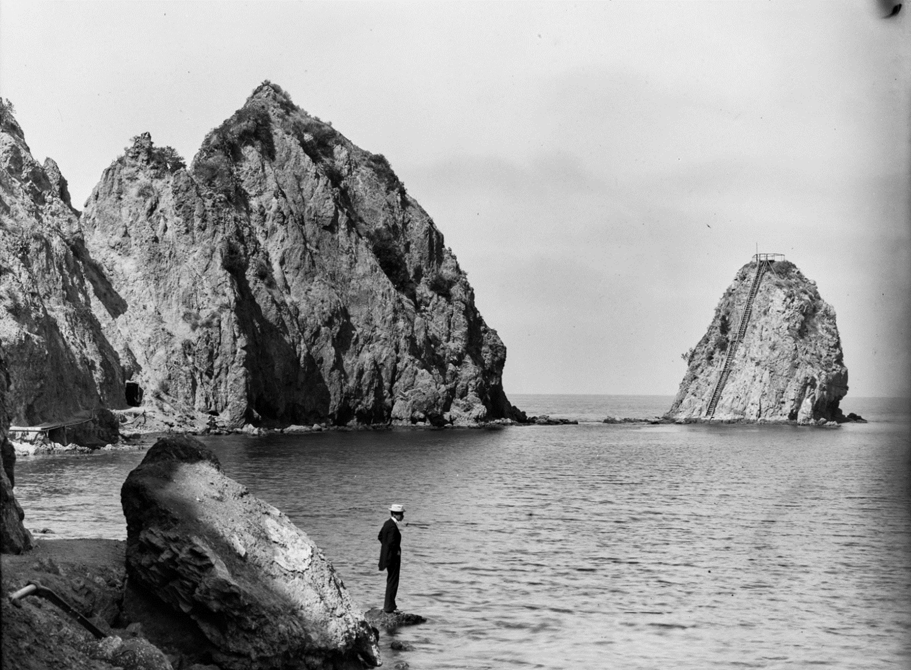
| (ca. 1905)* – A man standing on rocks near Avalon Bay with Sugarloaf Point rising in the background. Ernest Marquez Collection. |
Historical Notes This quiet shoreline scene captures Sugarloaf Point during the final years before major alterations permanently changed its appearance. The massive formation still rises almost fully intact above Avalon Harbor while the calm waters and rocky shoreline preserve the slower pace that characterized Avalon during the early 20th century. Within little more than a decade after this photograph was taken, the landscape visible here would change dramatically. Roads, casinos, and waterfront redevelopment gradually erased the original contours of Sugarloaf Point until the once familiar rocky landmark vanished almost entirely from Avalon Bay. |
 |
|
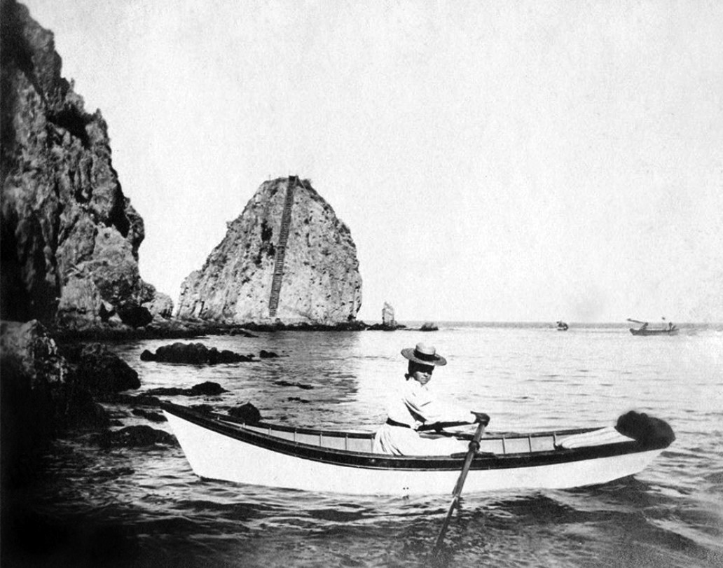
| (ca. 1900)* - Woman rowing a small boat in Avalon Bay with Sugarloaf Point visible in the background. |
| Historical Notes
This graceful harbor scene captures a quieter and more personal side of the Catalina experience. Rowboats could be rented along Avalon’s waterfront, allowing visitors to explore the calm protected waters of the harbor at their own pace while drifting beneath the towering rock cliffs of Sugarloaf Point. The image also preserves one of the clearest views of Sugarloaf before major alterations reshaped its profile. Both rocky outcroppings remain fully visible, connected by the narrow ridge that gave the formation its distinctive appearance for generations of arriving visitors and sailors entering Avalon Harbor. |
 |
|
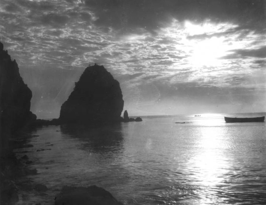
| (ca. 1900)* - Sunset view of Sugarloaf Point with small boats resting in the calm waters of Avalon Harbor. |
| Historical Notes
Few surviving photographs capture the atmosphere of early Avalon more effectively than this sunset view of Sugarloaf Point rising above the calm harbor waters. Small boats rest quietly in the foreground while fading light reflects across the bay and silhouettes the dark formation against the evening sky. The image helps explain why Sugarloaf became the most photographed natural feature in Avalon during the island’s early resort years. Its dramatic shape, position at the entrance to the harbor, and constantly changing appearance in different light conditions made it both a navigational landmark and a source of artistic fascination for generations of photographers and visitors. |
 |
|
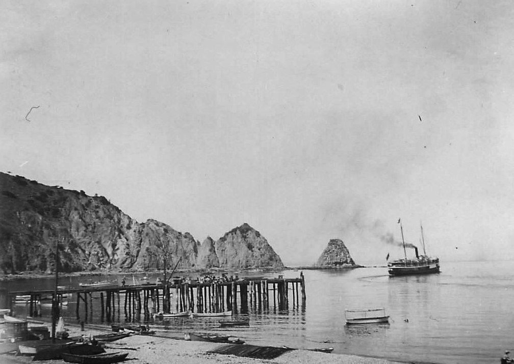
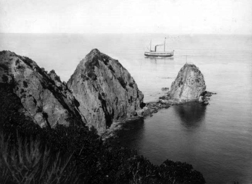
| (1901)* - The S.S. Hermosa leaving Catalina Island and passing Sugarloaf Point. |
| Historical Notes
This 1901 view of the S.S. Hermosa passing Sugarloaf Point illustrates the formation’s importance as a navigational landmark during the Banning era. Every steamship entering or departing Avalon Harbor rounded the Point, whose distinctive silhouette helped crews orient themselves while crossing the channel between Catalina and the mainland. The original S.S. Hermosa served Catalina from 1888 until 1902, carrying thousands of visitors to Avalon during the island’s formative resort years. The ship visible here and the rugged landmark rising behind it would both disappear within only a few decades — one retired ceremonially, the other removed by dynamite during redevelopment of Avalon’s waterfront. |
 |
|
| (ca. 1900)* - Close view of Sugarloaf Point showing the wooden stairway and viewing platform with the S.S. Hermosa visible beyond the harbor. |
| Historical Notes
This close view provides one of the clearest surviving images of the wooden stairway constructed on Sugarloaf’s steep rock face. Timber supports bolted directly into the rock carried visitors upward toward the small viewing platform near the summit while the S.S. Hermosa passes beyond the harbor in the background. For approximately twenty years, climbing Sugarloaf became a standard part of the Catalina itinerary. The summit platform offered panoramic views unmatched elsewhere in Avalon, allowing visitors to see the harbor, Tent City, hotels, mountains, and open Pacific from a single dramatic vantage point high above the bay. |
 |
|
| (ca. 1910)* - Birdseye view of Sugarloaf Point with the S.S. Cabrillo visible in Avalon Harbor. |
| Historical Notes
This elevated view captures Sugarloaf Point near the end of its years as a public attraction. The massive formation remains largely intact while the S.S. Cabrillo moves through Avalon Harbor in the distance, continuing the steamship tradition that connected Catalina to mainland Southern California throughout the Banning era. By this time, however, portions of Big Sugarloaf had already begun changing due to road construction and expanding waterfront development. The gradual reshaping of the Point unfolded over many years, making the transformation easy to overlook until photographs from different decades are compared side by side. |
_ca1900.jpg) |
|
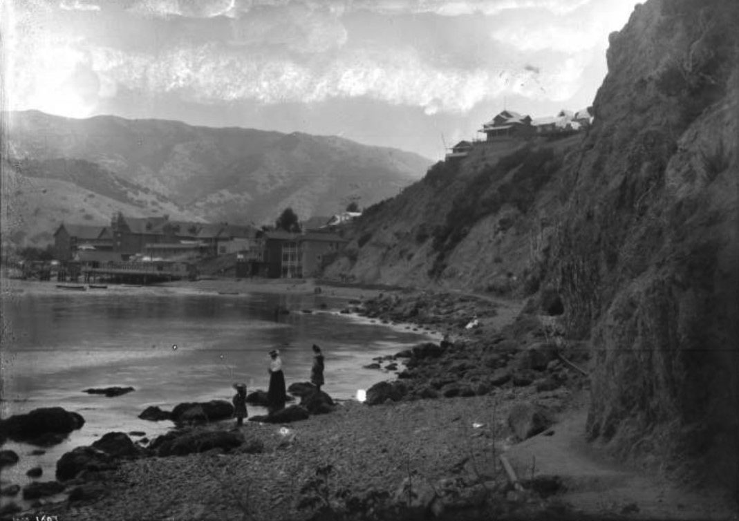
| (ca. 1900)* - Visitors gathered on exposed rocks at the base of Sugarloaf Point during low tide with Avalon Harbor visible behind them. |
| Historical Notes
Low tide exposed a broad rocky platform at the base of Sugarloaf where visitors gathered to relax, explore tide pools, pose for photographs, and enjoy views across Avalon Harbor. The informal poses and relaxed atmosphere visible here suggest that the shoreline beneath Sugarloaf served as both scenic attraction and social gathering place. For many visitors, the appeal of Sugarloaf extended beyond the climb itself. Families picnicked along the rocks, photographers framed portraits against the harbor backdrop, and couples wandered the shoreline beneath the towering rock cliffs. The Point functioned as both natural landmark and public recreational space during Avalon’s earliest resort decades. |
 |
|
| (ca. 1901)* - Woman and two girls standing on rocks near Sugarloaf Point with the Hotel Metropole and Avalon Harbor visible in the background. |
| Historical Notes
This family portrait near Sugarloaf Point captures the balance between nature and resort life that defined Avalon during the Banning era. The Hotel Metropole and waterfront buildings visible across the harbor represent Avalon’s organized tourist infrastructure while the rocky shoreline in the foreground reflects the rugged landscape that originally drew visitors to Catalina. The scene also preserves a harbor landscape that would soon change dramatically. The Hotel Metropole would be destroyed by fire in 1915 while Sugarloaf itself would begin disappearing only a few years later during construction of Avalon’s casino complexes. Photographs such as this preserve one of the last glimpses of Avalon Harbor before redevelopment permanently transformed its historic waterfront. |
* * * * * |
The Harbor at the Turn of the Century |
By the turn of the 20th century, Avalon Harbor had become one of the busiest and most recognizable resort waterfronts in Southern California. The steady expansion of steamship service under the Banning brothers brought thousands of visitors across the channel each summer, transforming what had once been a quiet anchorage into a lively harbor filled with passenger steamers, sailboats, fishing craft, launches, and pleasure boats. Along the waterfront, bath houses, hotels, bait shops, boat rentals, tent camps, and commercial piers worked together to support a tourism economy centered almost entirely around the bay.For most visitors, the harbor provided their first experience of Catalina. Passengers crowded the railings of arriving steamships while watching Sugarloaf Point, the Hotel Metropole, and the growing town gradually come into view beneath the surrounding mountains. After disembarking, tourists stepped directly into the activity of the waterfront where fishermen cleaned their catch beside the piers, rowboats waited for hire along the beach, and excursion operators competed for attention among the crowds arriving from the mainland.The photographs from these years capture Avalon during the final decades of the Banning era before William Wrigley Jr. purchased controlling interest in Catalina in 1919. Although the harbor already appeared active and mature, many of the most dramatic changes to Avalon’s waterfront still lay ahead. These images preserve the harbor at the peak of one chapter in Catalina’s history and on the threshold of another. |
.jpg) |
|
| (1904)* - Panoramic view of Avalon Harbor from the northwestern shore with sailboats, rowboats, and Avalon visible at far right. |
| Historical Notes
This panoramic 1904 view from the northwestern shore of Avalon Bay captures the harbor at the height of the summer season. A canopy covered pleasure boat carrying visitors crosses the center of the bay while sailboats and working vessels rest at anchor nearby. At far right, Avalon stretches along the waterfront beneath the surrounding hills, its growing cluster of wooden buildings reflecting nearly two decades of rapid resort development. The northwestern shoreline from which this photograph was taken remained relatively undeveloped during these years, allowing unobstructed views across the entire harbor. The image reveals how completely Avalon Bay had been transformed into a center of both recreation and commerce, with pleasure craft, excursion boats, steamships, and working vessels all sharing the same protected waters. |
 |
|
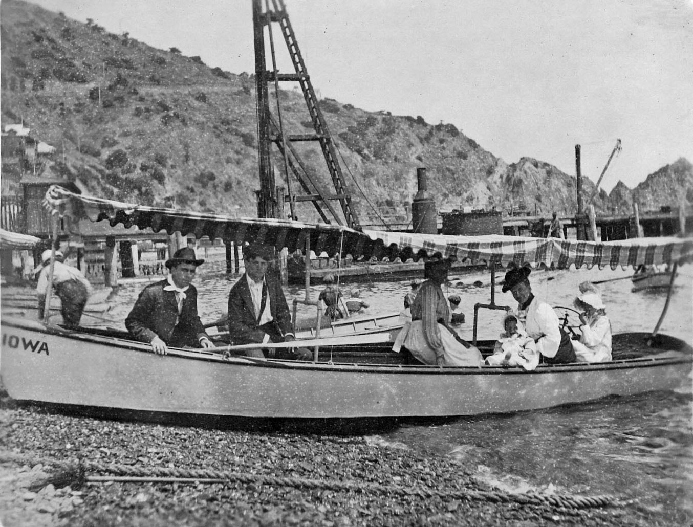
| (1903)* - A family poses in a canopy covered rowboat on the beach at Avalon Bay. Russel Raymond Jennett sits second from left holding infant Russel Raymond Jr. Sugarloaf Point rises at upper right. Jennett Family Collection – Courtesy of Gilbert C. Jennett. |
| Historical Notes
This 1903 portrait of the Jennett family captures the informal and personal side of a Catalina vacation during the Banning era. The family poses comfortably in a striped canopy boat pulled onto the beach while Sugarloaf Point rises behind them at the edge of Avalon Harbor. Unlike formal studio portraits common during the period, photographs such as this preserved genuine moments of family recreation and travel. The Jennett Family Collection remains one of the most valuable visual records of early Catalina life because of its intimacy and authenticity. Rather than focusing only on hotels, landmarks, or promotional scenes, the photographs document how ordinary visitors actually experienced Avalon through boating, sightseeing, family outings, and everyday moments along the waterfront. |
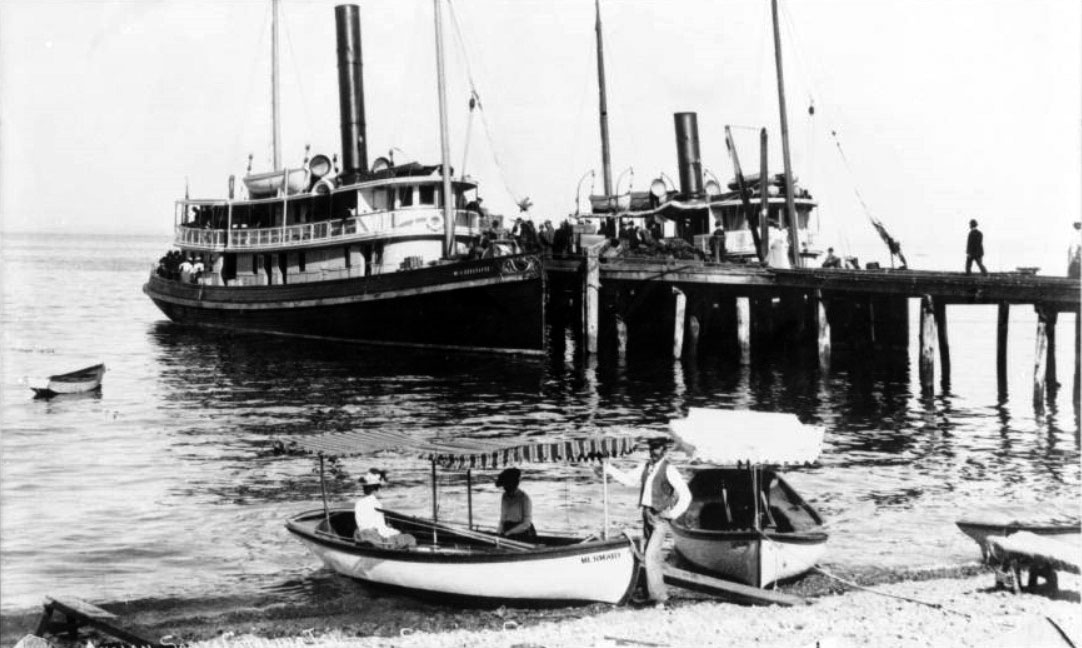 |
|
| (ca. 1900)* - The steamer Warrior II docked at the pier with passengers crowding the stern decks while the steamer Falcon sits behind the pier at right. |
Historical Notes The Warrior II and Falcon were among the vessels serving Avalon Harbor during the busiest years of the Banning Company’s steamship operations. The Warrior II dominates this harbor scene with passengers crowding both upper and lower decks while smaller craft gather around the waterfront nearby. In the foreground, canopy covered boats rest on the beach awaiting tourists interested in exploring Avalon Bay from the water. Avalon’s harbor economy depended upon a constant movement of ships, supplies, freight, luggage, and passengers between Catalina and the mainland. According to Hancock Banning Jr., the Warrior II was later converted into a tug and eventually served as a fireboat in San Pedro Harbor. Its after cabin even briefly functioned as office quarters and summer living space for members of the Banning family, reflecting the practical and often improvised character of the island’s early maritime operations. |
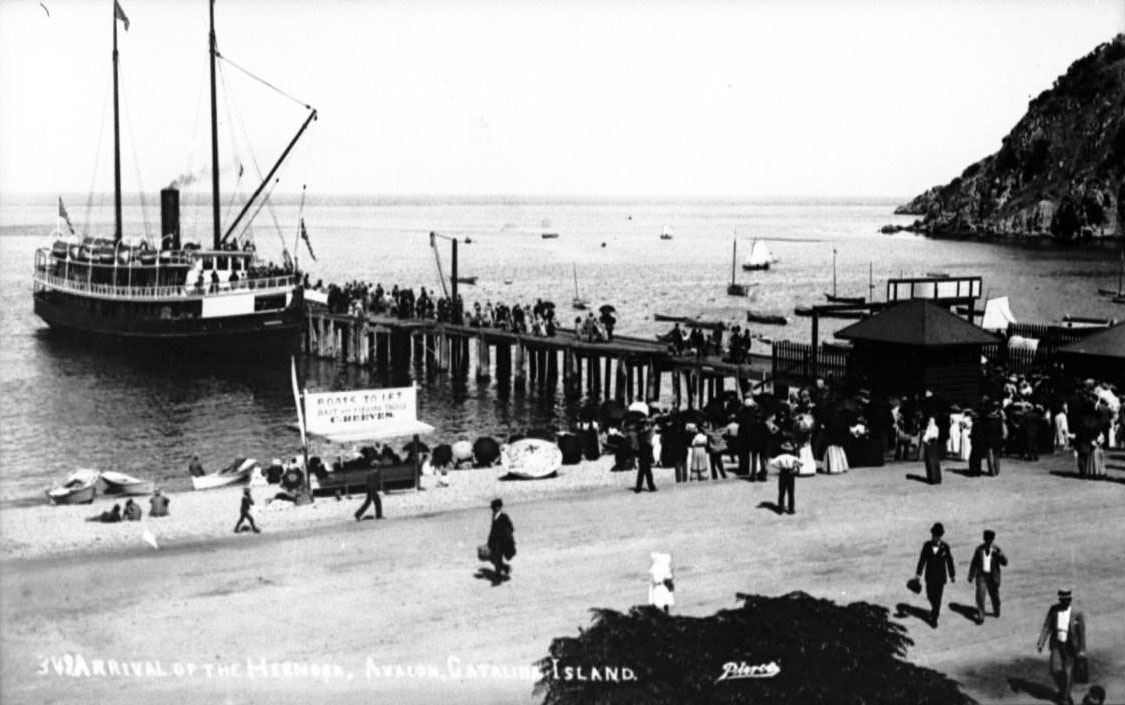 |
|
| (ca. 1900)* - The S.S. Hermosa docked at the Avalon pier with passengers disembarking while a sign on the beach advertises “Boats to let, bait and fishing tackle, C. Reeves.” |
Historical Notes This arrival scene captures the daily rhythm of Avalon Harbor during the Banning era. Passengers stream down the gangway from the S.S. Hermosa while businesses along the waterfront prepare to meet their needs almost immediately upon arrival. The sign advertising boats, bait, and fishing tackle reflects how quickly Avalon’s waterfront economy organized itself around the steamship schedule and the steady flow of visiting tourists. The original S.S. Hermosa served Catalina from 1888 until 1902 and became one of the island’s most recognizable steamships. Elegantly appointed for its time, the vessel carried visitors across the channel in relative comfort while helping establish Avalon as Southern California’s premier island resort destination during the late 19th century. |
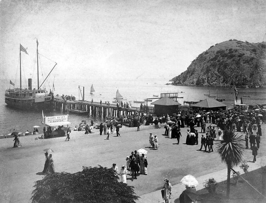 |
|
| (ca.1900)* - The S.S. Hermosa I docked at the Green Pier as seen from the front of the Hotel Metropole. Visitors stroll along the beach while others wait to board for the return crossing to San Pedro. |
Historical Notes This waterfront view from the Hotel Metropole captures the social geography of early Avalon at its most characteristic. Visitors carrying umbrellas stroll casually along the beach while others gather near the pier awaiting departure aboard the Hermosa for the return trip to San Pedro. Behind the photographer stood the Hotel Metropole, the center of Avalon’s social life, while the pier ahead connected the island directly to the mainland. By 1900, the Banning Company operated an increasingly sophisticated fleet that included the Hermosa, Falcon, Hattie, La Paloma, and Oleander. Together the vessels transported passengers, freight, mail, and supplies that sustained Avalon’s growing tourism economy. The harbor visible here represented both the beginning and ending point of nearly every Catalina vacation during the period. |
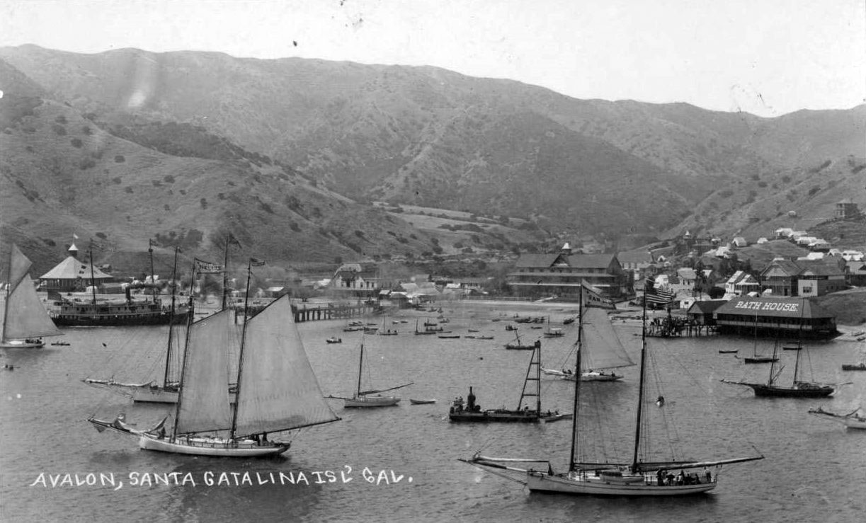 |
|
| (ca. 1892)* - Avalon Harbor crowded with sailing vessels of all sizes. The S.S. Hermosa I appears at left, the Bath House at right, and the Hotel Metropole near center. |
| Historical Notes
This ca. 1892 panorama ranks among the earliest broad harbor views taken after the Banning brothers purchased Catalina in 1891. Sailboats, launches, and working vessels crowd Avalon Bay while the S.S. Hermosa anchors at left beside the growing waterfront settlement. The Bath House and Hotel Metropole already dominate the shoreline, signaling the rapid development taking place around the harbor during the island’s first major tourism boom. The variety of vessels visible here reflects the layered character of Avalon’s early maritime economy. Passenger steamships carried tourists from the mainland while fishing boats, private craft, sailing vessels, and harbor launches all shared the same protected waters. Within only a few years, the harbor had evolved from a relatively isolated anchorage into one of Southern California’s busiest recreational ports. |
* * * * * |
Catalina Fishing |
Long before William Wrigley Jr. built the Casino or the Chicago Cubs arrived for spring training, fishing was the activity that gave Catalina national attention among sportsmen and outdoor enthusiasts. The waters surrounding the island were among the richest along the Pacific Coast, filled with yellowtail, barracuda, white sea bass, tuna, and the enormous Giant Black Sea Bass that could exceed 500 pounds. By the late 1890s, word had spread through Southern California sporting circles that Catalina offered fishing unlike anything available along the mainland coast.Fishing soon became woven into nearly every aspect of Avalon’s waterfront culture. Boat rentals, bait stands, charter launches, guides, fish racks, and excursion operators crowded the beaches beside Avalon Harbor while visiting anglers proudly posed for photographs with their catches in front of the Hotel Metropole and along Crescent Avenue. Sport fishing helped distinguish Catalina from other resort destinations by offering visitors not only scenery and relaxation, but also excitement, competition, and the possibility of landing record breaking fish in the waters just offshore.The man most responsible for shaping Catalina’s fishing reputation was Dr. Charles Frederick Holder, a naturalist, writer, and passionate sportsman who arrived on the island during the 1890s. Holder promoted rod and reel fishing as both a sporting and ethical alternative to commercial methods such as harpoons and heavy netting. In 1898 he founded the Tuna Club of Avalon, establishing principles of fair play, conservation, and sporting conduct that helped shape modern big game sport fishing internationally. The photographs in this section preserve both the extraordinary abundance of Catalina’s early fishing era and the reminder that such abundance was not endless. Species like the Giant Black Sea Bass eventually declined sharply from overfishing before later conservation efforts helped begin their slow recovery in California waters. |
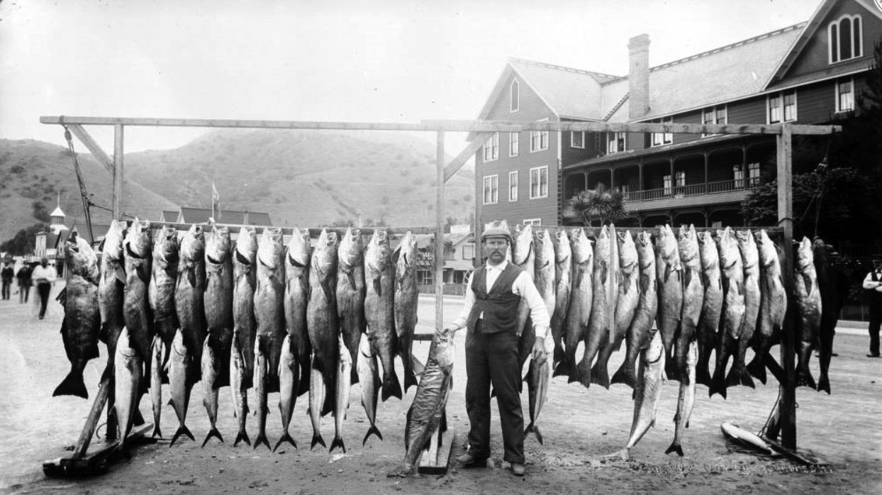 |
|
| (ca. 1901)* – A man stands in front of the Hotel Metropole displaying the day’s catch of white sea bass, yellowtail, and barracuda taken with rod and reel. |
Historical Notes This ca. 1901 fishing portrait captures one of Avalon’s most recognizable traditions during the Banning era: anglers proudly displaying their catches in front of the Hotel Metropole. The fish shown here — white sea bass, yellowtail, and barracuda — were all taken using rod and reel tackle, an important distinction at a time when sport fishing was increasingly promoted as a test of patience, skill, and technique rather than brute force. Fishing activity became so intense around Avalon Harbor during the early 1900s that the beaches grew crowded with launches, rowboats, fish racks, bait stands, and charter operators competing for business. Sea lions gathered nearby hoping for scraps while visitors moved constantly between fishing excursions, hotels, bath houses, and waterfront businesses. Avalon’s identity as a resort town became inseparable from its growing reputation as a sport fishing center. |
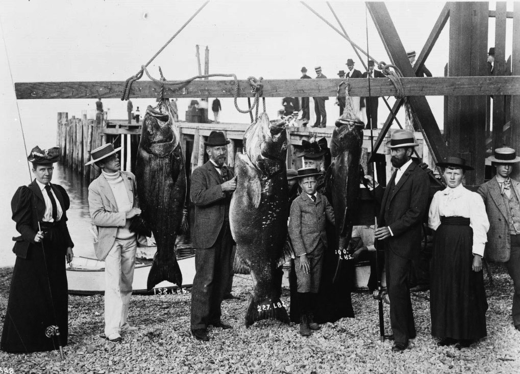 |
|
| (ca. 1905)* - Professor Charles Frederick Holder and companions pose beside three Giant Black Sea Bass weighing 158, 227, and 100 pounds. |
Historical Notes Dr. Charles Frederick Holder stands at center beside three enormous Giant Black Sea Bass, the kind of catch that helped make Catalina famous among early sport fishermen. Holder founded the Tuna Club of Avalon in 1898 and became one of the most influential figures in the development of modern big game sport fishing. Through books, magazine articles, lectures, and organized competitions, he promoted Catalina as one of the world’s premier fishing destinations. Holder also helped establish many of the ethical standards associated with sport fishing during the early 20th century. Tuna Club rules emphasized rod and reel methods, limited tackle, and fair competition between angler and fish. These principles eventually influenced big game fishing practices far beyond Catalina itself. The Giant Black Sea Bass shown here were once common in Southern California waters, where some specimens exceeded 600 pounds. During the first half of the 20th century, however, the species declined sharply because of commercial harvesting and trophy fishing pressure. Today the Giant Black Sea Bass is fully protected in California waters, and sightings near Catalina are now considered both rare and memorable. |
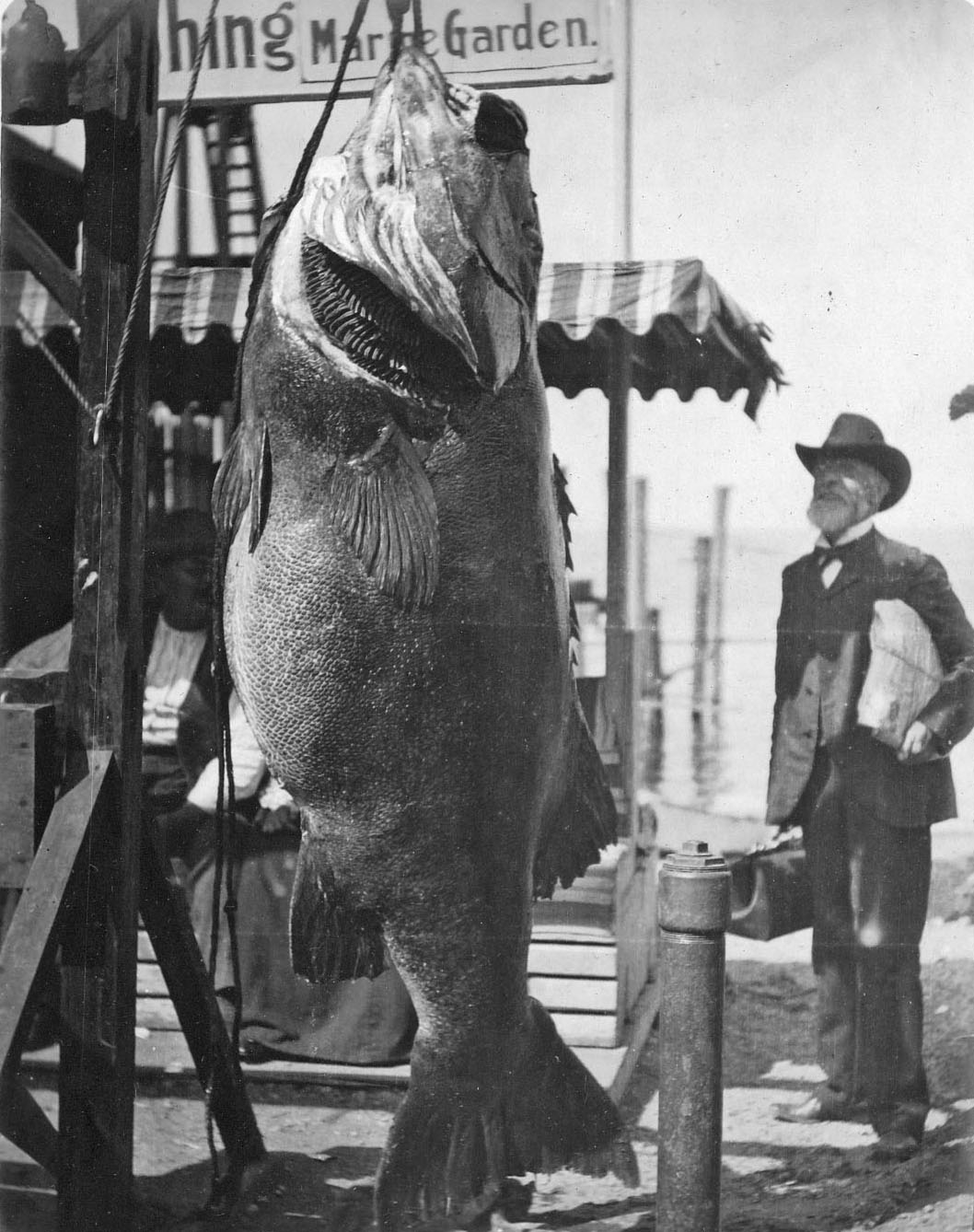 |
|
| (1903)* - Captain Russel Jennett posing beside a very large Giant Black Sea Bass at Avalon Bay. Jennett Family Collection – Courtesy of Gilbert C. Jennett. |
Historical Notes Captain Russel Jennett’s pose beside this enormous Giant Black Sea Bass follows the conventions of trophy fishing photography already well established by the early 1900s. The angler stands beside the suspended fish so viewers can fully appreciate the scale of the catch, turning the photograph itself into part of the achievement. The Jennett Family Collection remains one of the most valuable visual records of early Catalina because it preserves both formal tourist imagery and everyday island life. Fishing was not simply a recreational activity at Avalon. It became part of the harbor’s identity and influenced everything from local businesses and excursion services to photography, tourism advertising, and waterfront culture itself. At the time this photograph was taken, Giant Black Sea Bass were still abundant in Southern California waters. Their tremendous size and slow powerful movements made them especially prized among visiting anglers, helping establish Catalina’s reputation as one of the leading sport fishing destinations on the Pacific Coast. |
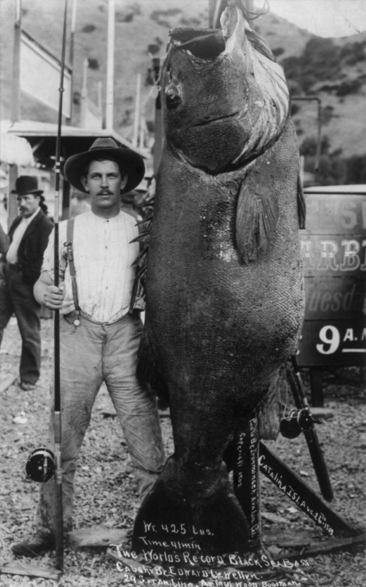 |
|
| (1903)* – Edward Beach Llewellyn posing beside the 425 pound Giant Black Sea Bass he caught off Catalina Island on August 26, 1903. The fish became a world record catch. Photo: Library of Congress. |
Historical Notes Edward Beach Llewellyn’s 425 pound Giant Black Sea Bass became one of the most celebrated catches in Catalina fishing history. Landed on August 26, 1903, after a forty one minute struggle, the fish established a new world record for the species at the time. Photographs of record catches such as this circulated widely through newspapers, sporting journals, and promotional materials, helping spread Catalina’s reputation far beyond Southern California. The catch was remarkable not only for the fish’s size but also for the challenge of landing such a powerful animal using rod and reel tackle available during the early 1900s. Long before modern reels, synthetic fishing lines, or advanced fighting equipment, anglers depended heavily upon physical endurance, patience, and experience to land giant fish successfully. Today, photographs such as this carry a different historical perspective as well. The enormous Giant Black Sea Bass that once seemed almost limitless in California waters eventually became increasingly rare because of decades of heavy fishing pressure. Their gradual return to Catalina waters in recent decades reflects the importance of long term marine conservation and changing attitudes toward ocean wildlife. |
* * * * * |
The Hotel Metropole: Resort Life and Island Excursions |
By the turn of the 20th century, the Hotel Metropole had grown far beyond the modest three story wooden hotel George Shatto opened in 1888. Major expansions completed in 1893 and 1897 transformed the Metropole into Avalon’s largest and most prominent resort building, adding dozens of guest rooms, a grand reception hall, broad verandas, and a ballroom overlooking Avalon Harbor. Standing just steps from the beach and pier along Crescent Avenue, the hotel became the center of nearly everything that defined Catalina’s early resort life — arrivals and departures, fishing excursions, social gatherings, waterfront recreation, and organized tours into the island’s rugged interior.The excursion economy that developed around the Metropole was one of the Banning brothers’ most successful ideas after purchasing Catalina in 1891. Horse drawn wagons and stagecoaches gathered daily outside the hotel carrying visitors toward Descanso Beach, Lovers Cove, scenic overlooks, hunting lodges, and the winding Stage Roads that climbed high above Avalon Harbor. Along the waterfront directly in front of the hotel, boat rentals, fishing guides, bait stands, and excursion launches lined the beach, making the Metropole the departure point for adventures in nearly every direction.The photographs in this section capture the Hotel Metropole during the height of the Banning era, when Avalon was evolving from seasonal seaside settlement into a mature island resort town. They preserve a waterfront atmosphere where fishing boats rested directly on the sand, horse drawn wagons waited outside hotel entrances, and tourists moved easily between harbor recreation and inland exploration. Within only a few years, however, much of the world visible in these photographs would disappear. In the early morning hours of November 29, 1915, a devastating fire destroyed the Hotel Metropole along with much of Avalon’s waterfront district, marking the symbolic end of the Banning era just before William Wrigley Jr. began reshaping Catalina into the island resort known today. |
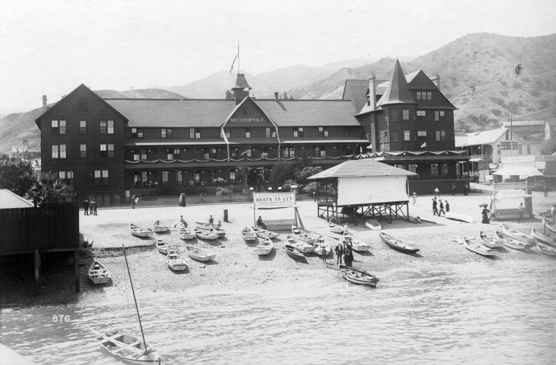 |
|
| (ca. 1900)* - The Hotel Metropole at 205 Crescent Avenue with boats pulled onto the beach and a sign reading “Bert Harding - Boats to let - Fishing tackle - Bait.” |
Historical Notes This waterfront view of the Hotel Metropole captures Avalon’s commercial and recreational life at the turn of the century. Dozens of small boats rest directly on the sand in front of the hotel while visitors stroll between the beach, harbor, and Crescent Avenue businesses nearby. The Bert Harding sign advertising boat rentals, bait, and fishing tackle reflects how closely Avalon’s economy remained tied to fishing, boating, and waterfront recreation during the Banning era. The Hotel Metropole expanded rapidly as Catalina’s popularity increased. Additions completed in 1893 and 1897 transformed the original hotel into Avalon’s dominant architectural and social landmark, adding guest rooms, reception areas, parlors, and a large ballroom overlooking the harbor. By 1900, the Metropole stood at the center of a growing district of hotels, shops, excursion offices, and waterfront businesses that together formed the heart of Avalon’s tourism economy. |
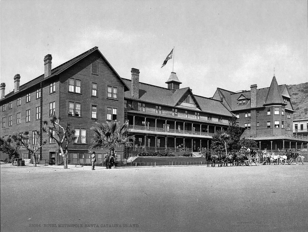 |
|
| (1901)* – View of the Hotel Metropole with two horse drawn wagons parked in front along Crescent Avenue. |
Historical Notes The horse drawn wagons gathered outside the Hotel Metropole formed part of the transportation network that connected Avalon Harbor to the rest of the island. Arriving passengers were carried from the pier to nearby hotels while excursion wagons departed regularly toward beaches, scenic overlooks, and the growing system of Stage Roads opening Catalina’s interior to tourism. The Metropole itself remained the center of Avalon’s public life throughout the Banning era. Guests gathered along its broad verandas overlooking the harbor while excursion operators arranged fishing trips, sightseeing tours, and inland stagecoach outings directly from the hotel entrance. The activity visible here reflects Avalon during the years when tourism was rapidly transforming the once isolated harbor settlement into a mature resort community. |
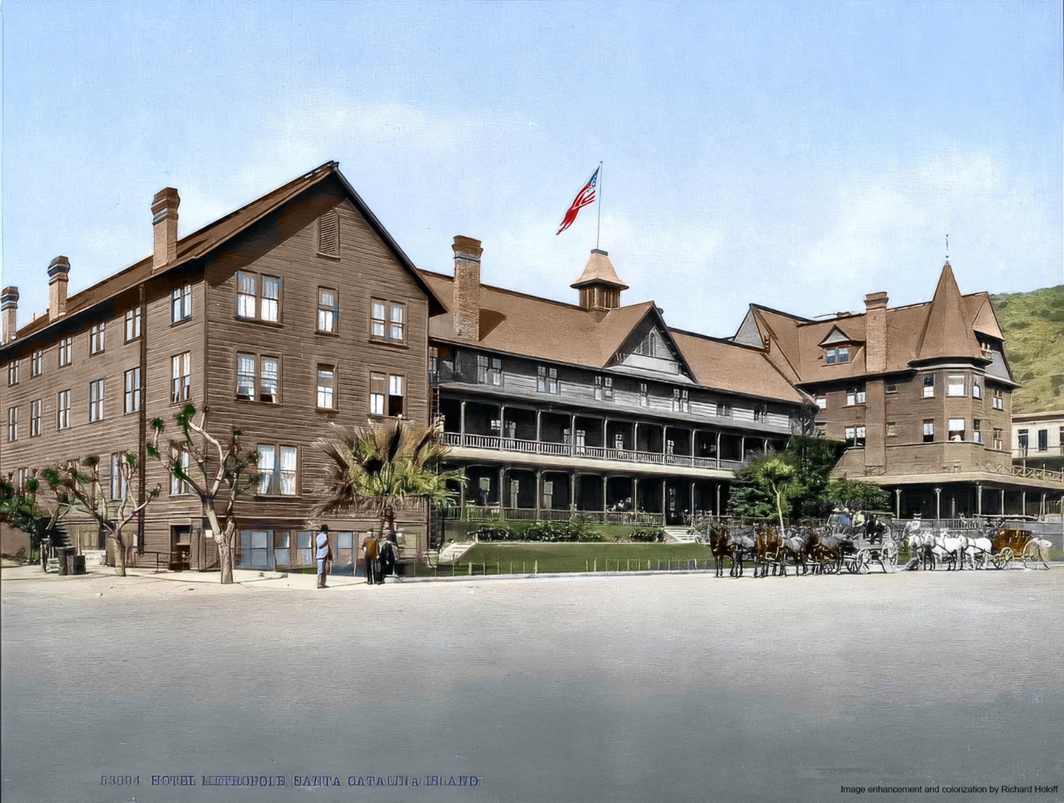 |
|
| (1901)* – Colorized view of the Hotel Metropole with horse drawn wagons waiting outside the hotel entrance. Image enhancement and colorization by Richard Holoff. |
Historical Notes Richard Holoff’s colorized restoration helps bring the atmosphere of early Avalon vividly back to life. The warm wood tones of the Hotel Metropole, the sandy waterfront streets, and the patient horses waiting outside the entrance reveal the informal and closely connected nature of Avalon’s harbor district during the early 1900s. Boats remained pulled directly onto the beach while pedestrians, wagons, and excursion traffic moved constantly between the waterfront and Crescent Avenue. The destruction of the Hotel Metropole in the fire of November 29, 1915 had consequences far beyond the loss of a single building. Much of Avalon’s commercial district burned alongside the hotel, overwhelming the town’s small fire department and forcing extensive rebuilding across the waterfront. Facing the enormous cost of reconstruction after years of financial struggle, the Banning family eventually sold Catalina to William Wrigley Jr. in 1919. The transformation that followed would permanently reshape Avalon’s architecture, infrastructure, and identity. |
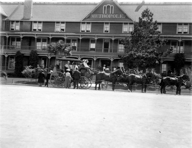 |
|
| (ca. 1900)* - Front view of the Hotel Metropole with guests gathered around a horse drawn stagecoach waiting outside the entrance. |
Historical Notes The stagecoaches gathered outside the Hotel Metropole represented one of the clearest expressions of the Banning brothers’ vision for Catalina as more than simply a seaside resort. After acquiring the island in 1891, they invested heavily in roads and transportation routes that opened previously isolated sections of Catalina to organized tourism and sightseeing. Visitors staying at the Metropole could now travel beyond Avalon Harbor toward Descanso Beach, Lovers Cove, mountain overlooks, hunting lodges, and the winding Stage Roads climbing into the island’s rugged interior. A tourist could arrive by steamship from Los Angeles, settle into the Metropole, and within hours be traveling through mountain canyons and along remote coastal ridges that few Southern Californians had ever seen. The stagecoach visible here served as the link between the comfortable resort world of Avalon Harbor and the far wilder island landscape beyond it. |
* * * * * |
Stage Roads and Interior Exploration |
When the Banning brothers purchased Catalina in 1891, most visitors experienced only the narrow strip of waterfront surrounding Avalon Harbor. Beyond the hotels, beaches, and piers lay an island that remained largely wild — a rugged landscape of steep ridges, deep canyons, isolated valleys, and dramatic coastal cliffs that few tourists ever saw. The Bannings recognized that Catalina’s interior was not an obstacle to development but one of the island’s greatest attractions, and they quickly began building roads that would open those landscapes to organized tourism.Beginning in the mid 1890s, crews carved Stage Roads directly into Catalina’s mountainous terrain, creating routes that climbed high above Avalon Harbor and wound deep into the island’s interior. Horse drawn stagecoaches soon carried visitors toward scenic overlooks, hunting lodges, Descanso Beach, Lovers Cove, and remote sections of coastline previously accessible only by horseback or foot. The excursions combined sightseeing with genuine adventure as six horse teams navigated steep grades, sharp switchbacks, and narrow ledges overlooking the Pacific far below.The photographs in this section preserve Catalina during the height of the stagecoach era, when exploring the island meant traveling slowly through landscapes that still felt raw, remote, and largely untouched. For many mainland visitors arriving from increasingly urban Southern California communities, the stage road excursions offered something they could not easily find at home — a sense of distance, wilderness, and discovery beyond the familiar resort life of Avalon Harbor. |
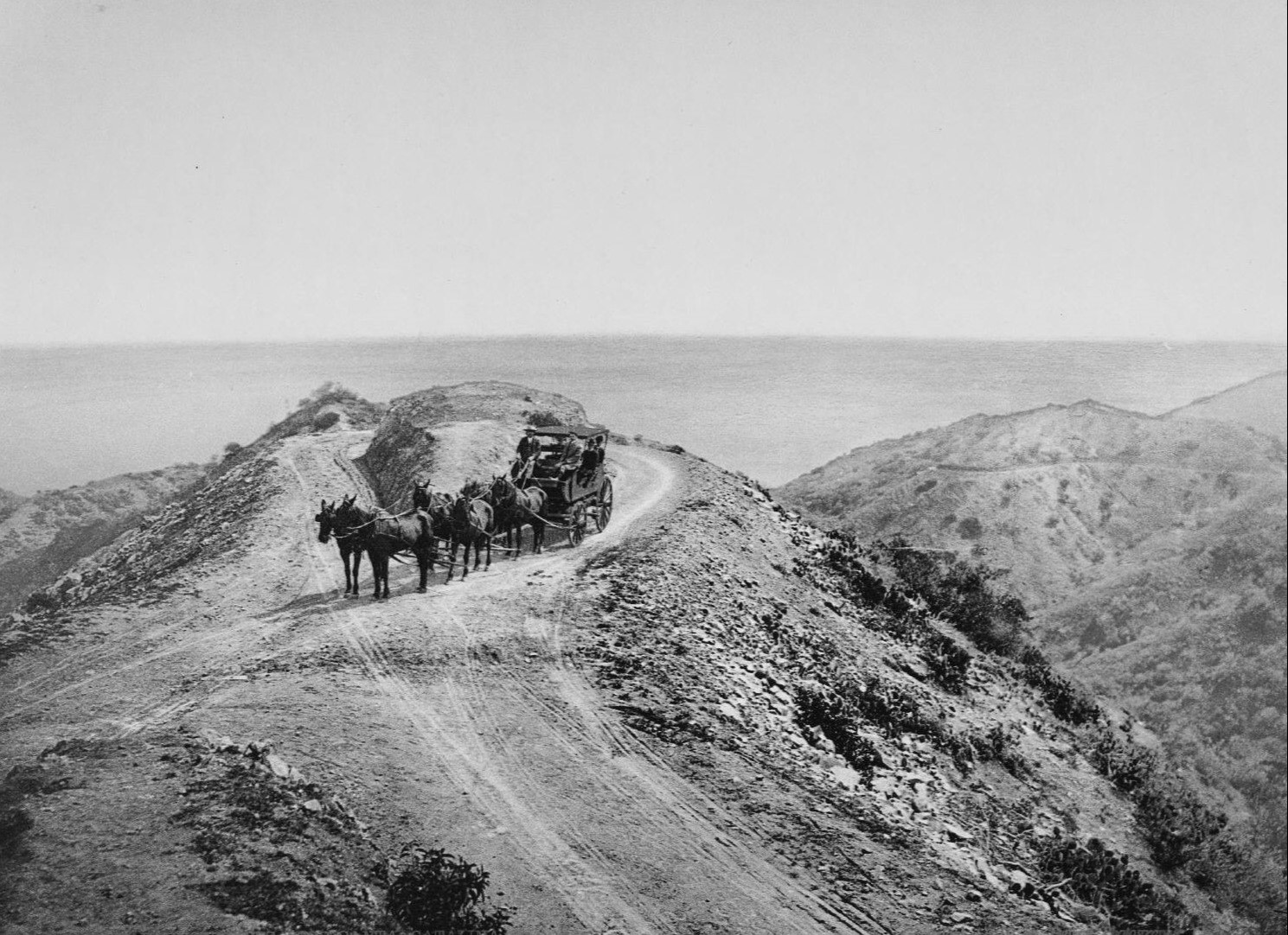 |
|
| (ca. 1897)* – View of Farnsworth Loop on Stage Road with a six horse stagecoach completing the steep turn high above Avalon. |
Historical Notes Farnsworth Loop became one of the most famous and photographed sections of Catalina’s Stage Road system during the Banning era. Named for Samuel Farnsworth, the dramatic circular turn allowed heavily loaded six horse stagecoaches to reverse direction safely on steep terrain where a conventional switchback would have been impossible. For passengers riding inside the coaches, the loop combined excitement with spectacular scenery. As the stagecoach rounded the curve, Avalon Harbor and the Pacific Ocean opened suddenly below while the narrow mountain road clung tightly to the hillside. The engineering required to construct and maintain roads through Catalina’s rugged terrain was considerable for the period and reflected the seriousness of the Banning brothers’ investment in tourism infrastructure. |
 |
|
| (ca. 1900)* - Horse drawn stagecoach navigating the elbow of a narrow mountain road on Catalina Island with the Pacific Ocean visible beyond the hills. |
Historical Notes This dramatic mountain road scene captures the essential character of Catalina’s stagecoach excursions during the early 1900s. The narrow road has been carved directly into the mountainside, with steep terrain rising on one side and the Pacific visible far below on the other. Guiding heavy horse drawn coaches safely through such terrain required considerable skill, particularly on steep grades and sharp turns. The Banning brothers promoted these excursions heavily throughout Southern California because they offered visitors an experience unlike anything available at mainland beach resorts. For many tourists arriving from Los Angeles and surrounding communities, the combination of rugged scenery, mountain roads, and expansive ocean views created a sense of adventure that became one of Catalina’s defining attractions. |
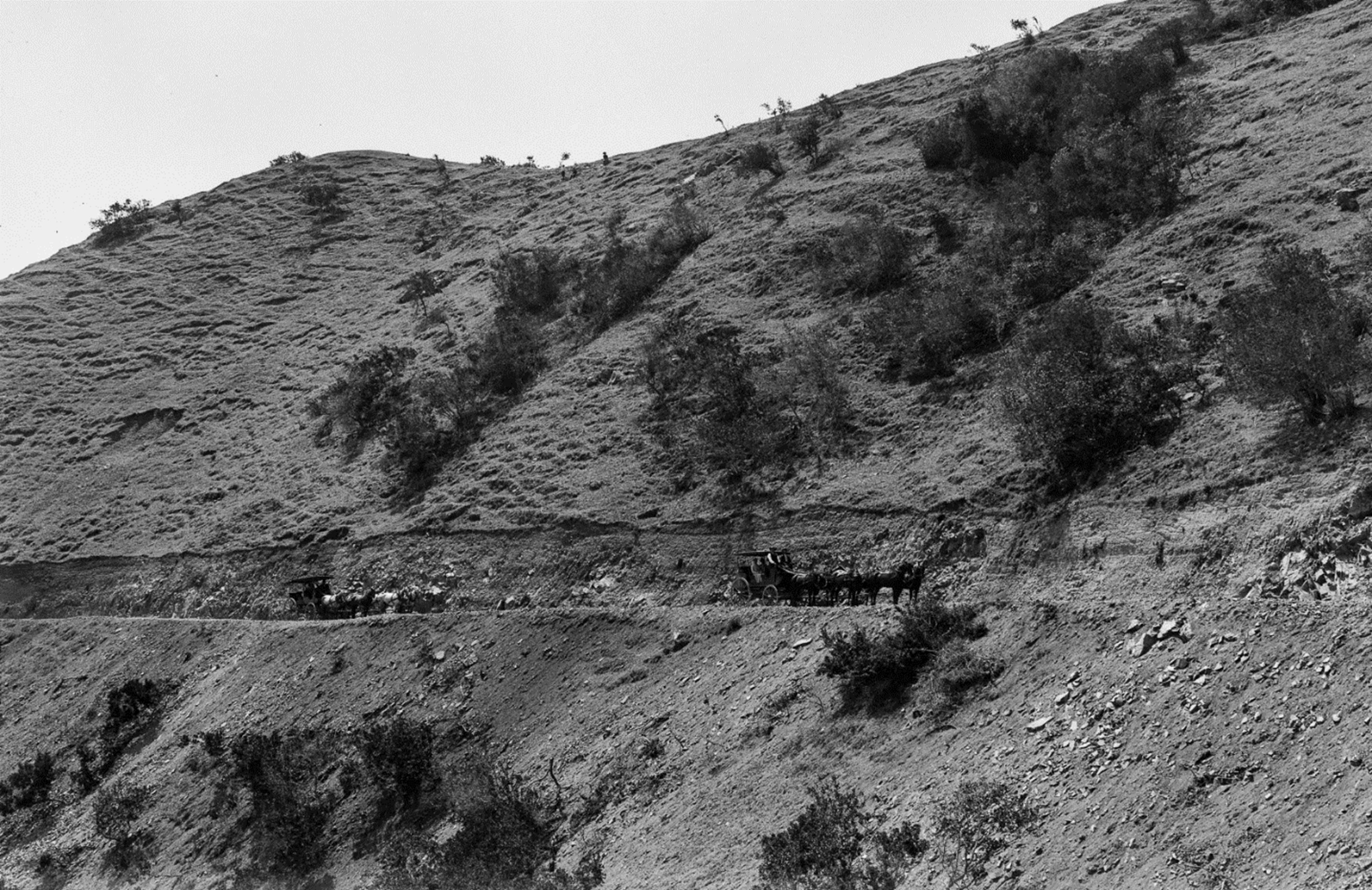 |
|
| (ca. 1900)* - Horse drawn stagecoaches traveling along Stage Road carved into Catalina’s rugged hillside. Ernest Marquez Collection. |
Historical Notes The Stage Roads built during the Banning era opened large portions of Catalina’s interior to organized tourism for the first time. Coaches regularly carried visitors toward hunting lodges, scenic overlooks, remote coves, and interior valleys that had previously remained difficult to access except by horseback or on foot. The roads themselves soon became attractions. Travelers described the excitement of riding along exposed mountain grades where panoramic ocean views stretched in multiple directions at once. Although carefully engineered for the period, the narrow roads and steep terrain still created a genuine sense of risk and adventure that became central to the Catalina excursion experience. The Ernest Marquez Collection remains one of the most important visual records of early Southern California and preserves valuable images of landscapes and transportation systems that changed rapidly during the early 20th century. |
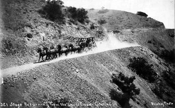 |
|
| (ca. 1903)* – Stagecoach racing down a steep mountain road on its return journey to the Hotel Metropole from Devils Elbow on Catalina Island. |
Historical Notes Devils Elbow was among the most dramatic and intimidating sections of Catalina’s Stage Road network. The steep descent and sharp hairpin curves tested both drivers and horses while providing passengers with exactly the kind of thrilling experience the Banning brothers hoped would distinguish Catalina from competing resort destinations. The return journey toward Avalon often felt even more exciting than the ascent into the mountains. Coaches that climbed slowly and cautiously through steep switchbacks frequently descended at greater speed, giving passengers an entirely different perspective on the same terrain. For many visitors, the combination of danger, scenery, and exhilaration made the stagecoach excursions the most memorable part of their Catalina vacation. |
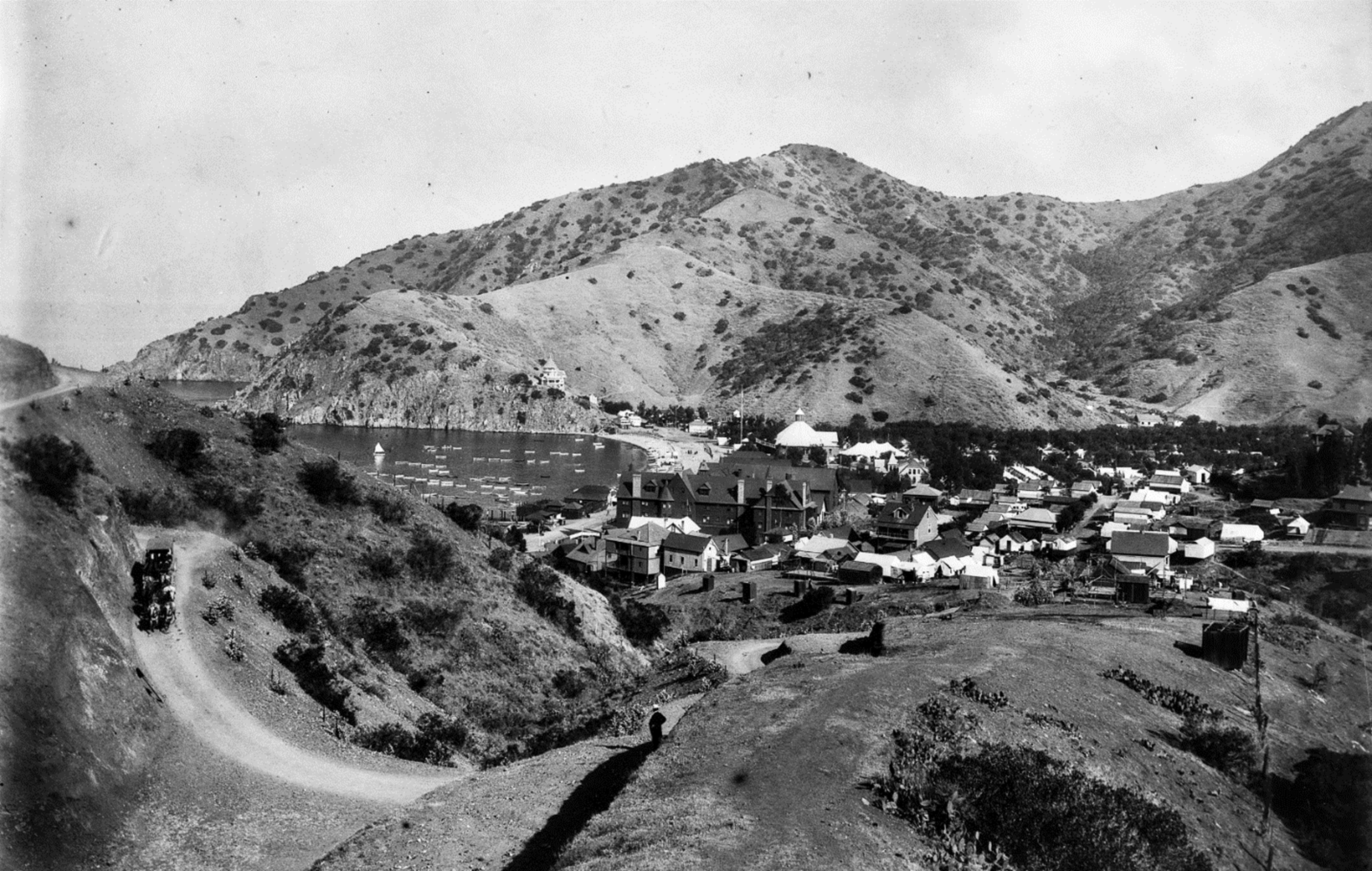 |
|
| (ca. 1900)* - Panoramic view of Avalon from above Stage Road with a stagecoach descending toward a curve below. Ernest Marquez Collection. |
Historical Notes This panoramic view reveals the dramatic geography surrounding Avalon Harbor during the early 1900s. From the heights above Stage Road, visitors could look down upon the crescent of Avalon Bay, the Hotel Metropole, Tent City, steamships gathered at the piers, and the growing waterfront settlement compressed tightly between the mountains and sea. The elevated views from Stage Road became one of Catalina’s greatest attractions. Visitors who experienced Avalon only from the waterfront often discovered from these heights how small the town actually appeared within the island’s much larger and more rugged landscape. The stagecoach roads gave tourists a perspective on Catalina that transformed the island from a simple seaside resort into a place of genuine geographic drama. |
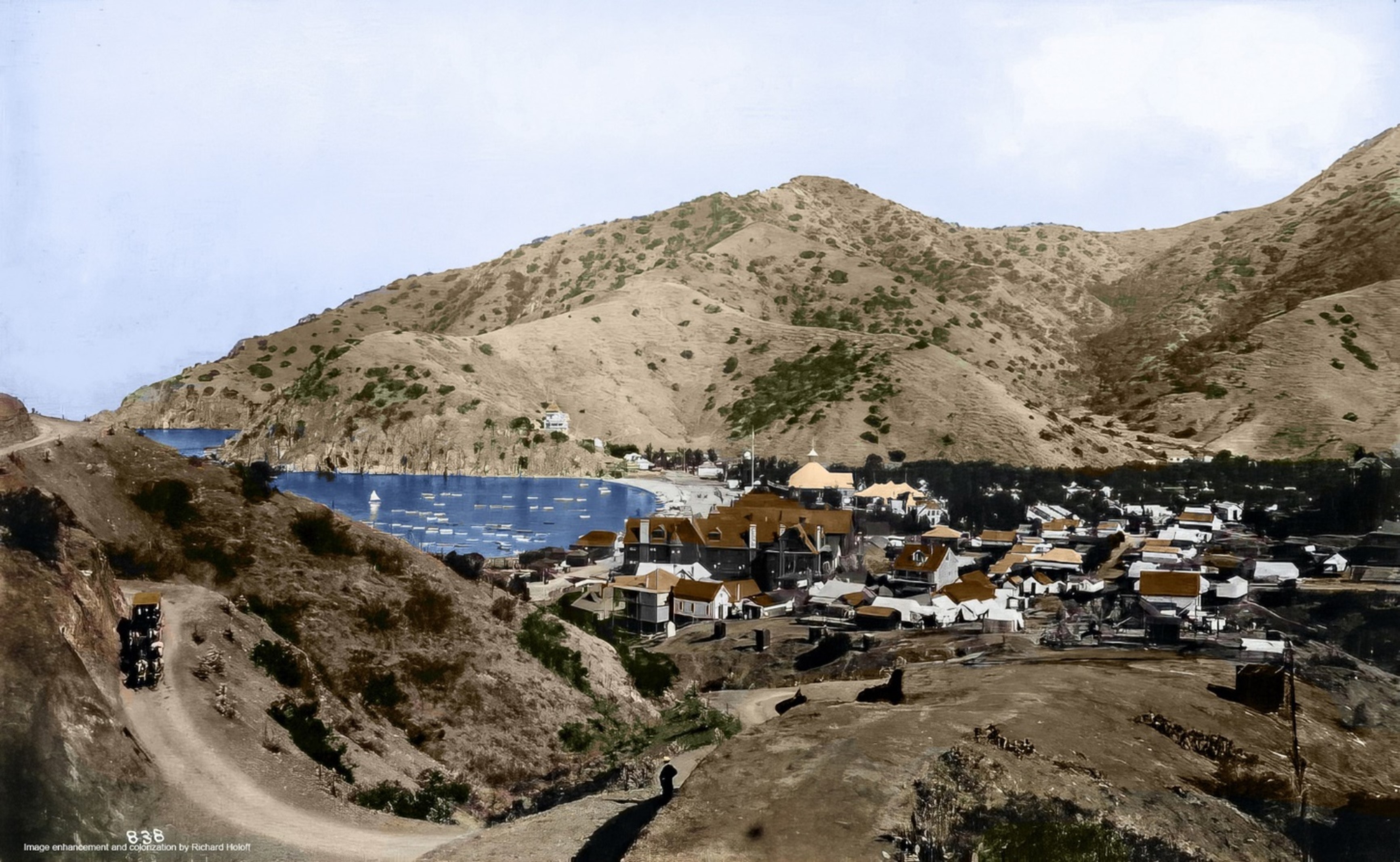 |
|
| (ca. 1900)* - Colorized panoramic view of Avalon from above Stage Road with a stagecoach descending toward the harbor below. Image enhancement and colorization by Richard Holoff. |
Historical Notes Richard Holoff’s colorized restoration helps convey the visual warmth of Catalina’s interior during the stagecoach era. Dry golden hillsides descend toward the blue waters of Avalon Bay while the small harbor town appears almost hidden beneath the surrounding mountains. The colorization also highlights how undeveloped the hillsides above Avalon remained at the turn of the century. Much of the landscaping and tree planting associated with modern Avalon had not yet occurred, leaving the island’s terrain looking far more rugged and exposed than it does today. The Stage Roads carried visitors through landscapes that still felt raw, isolated, and largely untouched beyond the harbor below. |
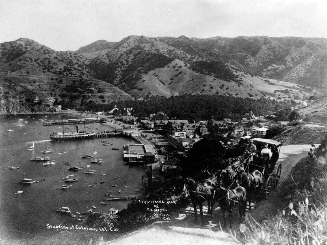 |
|
| (ca. 1909)* -Stagecoaches high above Avalon Bay with the steamship S.S. Cabrillo visible at the harbor below. |
Historical Notes By 1909, stagecoach excursions had become one of Catalina’s most popular attractions. Visitors traveling high above Avalon Harbor frequently stopped at scenic overlooks where they could watch steamships arriving from the mainland far below. The S.S. Cabrillo, visible in this photograph, entered Catalina service in 1904 and quickly became one of the island’s most important passenger vessels. The image also reveals how integrated Catalina’s tourism system had become during the late Banning era. Steamships transported visitors across the channel while hotels, waterfront businesses, fishing excursions, glass bottom boats, and stagecoach tours worked together to create a carefully organized resort experience that filled nearly every hour of a tourist’s stay on the island. |
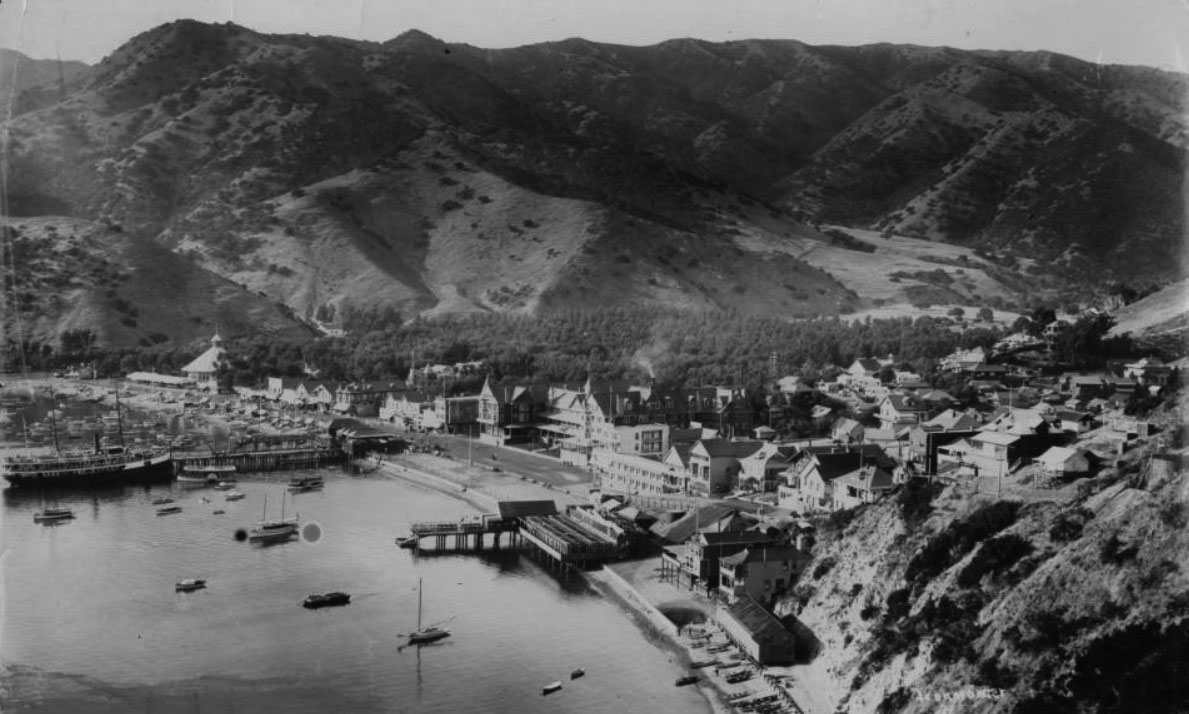 |
|
| (1903)* - Birdseye view of Avalon Harbor showing the S.S. Hermosa II at the dock, the glass bottom boat Cleopatra, and Avalon nestled beneath the surrounding hills. |
Historical Notes This elevated 1903 view from the hills above Avalon captures the harbor at the height of the Banning era resort years. The steamship Hermosa II sits at the dock while sailboats, excursion launches, and the glass bottom boat Cleopatra move through the protected waters of Avalon Bay below. The Hermosa II entered service in 1902 as the successor to the original Hermosa and represented the growing sophistication of Catalina’s steamship operations during the early 20th century. The variety of vessels visible here reflects how rapidly Avalon’s tourism economy expanded during these years, offering visitors fishing trips, sightseeing excursions, harbor cruises, glass bottom boat tours, and inland stagecoach adventures within the same small island resort community. The forested hillsides visible above Avalon also reveal how much the town had changed since the early 1890s. Areas that once appeared largely barren had gradually been softened through landscaping and tree planting during the Banning years, helping transform Avalon into a more mature and visually refined resort town before the even larger changes introduced during the Wrigley era. |
* * * * * |
Crescent Avenue and the Growth of Avalon |
Crescent Avenue curves gracefully along Avalon Bay, following the same shoreline that first attracted developers, tourists, and steamship passengers to Santa Catalina Island in the late nineteenth century. Known locally as The Strand or Front Street, the avenue quickly became the center of Avalon after Michigan businessman George Shatto purchased the island in 1887 and laid out the original townsite facing the bay. What began as a modest waterfront road lined with tents, wooden storefronts, and boarding houses soon evolved into the island’s commercial and social heart.After Shatto’s financial collapse, the Banning brothers acquired Catalina in 1892 and transformed Avalon into one of Southern California’s leading resort destinations. Steamships arrived daily from San Pedro carrying visitors eager to experience the island’s cool ocean air, rugged scenery, fishing excursions, dance pavilions, golf links, and growing collection of waterfront hotels. Nearly every tourist passed through Crescent Avenue upon arrival, making the street the first impression of Avalon and the center of nearly all island activity.These photographs trace the growth of Crescent Avenue during Avalon’s formative years, from the rustic wooden resort town of the Banning era to the more refined waterfront promenade shaped during the Wrigley years after the devastating fire of 1915. Together, they capture the architecture, businesses, crowds, and atmosphere that defined Avalon during its rise as one of California’s most recognizable seaside resorts. |
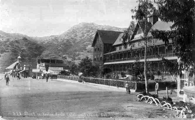 |
|
| (ca. 1900)* - Postcard view of the historic Hotel Metropole on Santa Catalina Island. Smaller commercial buildings surround the waterfront hotel while the rugged Avalon hills rise in the distance. |
| Historical Notes
Postcards such as this helped promote Avalon throughout Southern California and beyond during the early twentieth century. The Hotel Metropole became one of the island’s best known landmarks and frequently appeared in tourist literature advertising Catalina as an elegant but relaxed coastal escape. The contrast between the developed waterfront and the rugged undeveloped hillsides behind it reflected one of Avalon’s greatest attractions. Visitors could enjoy modern resort comforts along Crescent Avenue while remaining surrounded by dramatic island terrain that still felt remote and untouched compared with the rapidly growing mainland. |
.jpg) |
|
| (ca. 1902)* - View of the Hotel Metropole on Crescent Avenue in Avalon, Santa Catalina Island. To the right of the hotel stands the E.E. Beeson & Co. building, offering general merchandise, bakery goods, and delicacies. The Troy Laundry Co. occupies the adjacent storefront. Pedestrians stroll along the unpaved street while bathers gather at the shoreline, and a horse drawn wagon rests in the background. |
| Historical Notes
The Hotel Metropole was Avalon’s first major hotel and quickly became the centerpiece of the growing waterfront resort district. Originally completed in 1888 under George Shatto, the large wooden structure faced Avalon Bay directly from Crescent Avenue and served as both a hotel and gathering place for visitors arriving by steamship from the mainland. The surrounding storefronts show how quickly commercial activity developed along Crescent Avenue during the 1890s. Businesses such as E.E. Beeson & Co. supplied groceries, baked goods, and daily necessities to tourists and residents alike, while service businesses such as Troy Laundry supported the growing resort economy. The relaxed mix of pedestrians, swimmers, and horse drawn transportation captures Avalon at a time when the town still retained much of its small seaside village character despite its growing popularity. |
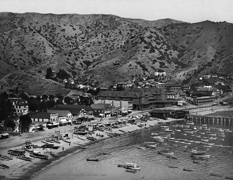 |
|
| (1903)* – View of Avalon Harbor filled with small boats docked along the pier and resting on the shoreline. The Hotel Metropole stands prominently at center facing Avalon Bay, with Crescent Avenue extending along the waterfront in front of it. |
Historical Notes By 1903, Avalon Harbor had become one of the busiest resort anchorages on the Southern California coast. Steamships arriving from Los Angeles and San Pedro brought tourists, freight, mail, and supplies directly into the bay, while smaller pleasure boats supported fishing trips, sightseeing tours, and glass bottom boat rides. The Banning brothers invested heavily in Avalon during this period, improving roads, utilities, communications systems, and visitor facilities. Crescent Avenue served as Avalon’s main business street, waterfront promenade, and arrival route for visitors, connecting the harbor to the growing collection of hotels, restaurants, bathhouses, and attractions lining the bay. |
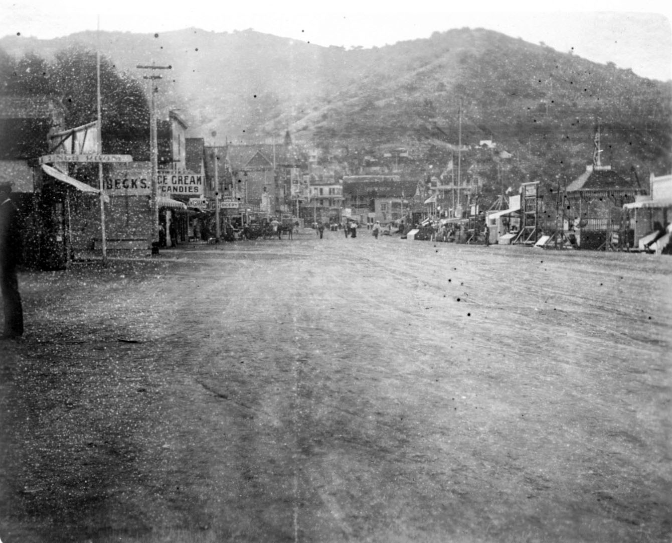 |
|
| (1903)* - View looking north along Crescent Avenue in Avalon. The Hotel Metropole appears at upper center-left while a storefront sign at left advertises “Ice Cream & Candies.” Jennett Family Collection - Courtesy of Gilbert C. Jennett. |
Historical Notes This lively street level view captures Crescent Avenue during Avalon’s early resort boom. Small shops selling candy, refreshments, souvenirs, and excursion services lined the avenue, catering directly to the thousands of visitors arriving each summer season. George Shatto’s original town plan intentionally faced Avalon toward the bay, ensuring that Crescent Avenue would become the visual and commercial center of island life. By the early 1900s, the avenue had developed into a busy pedestrian corridor where tourists gathered to stroll the waterfront, arrange excursions, shop, dine, and watch steamships arrive and depart from Avalon Harbor. |
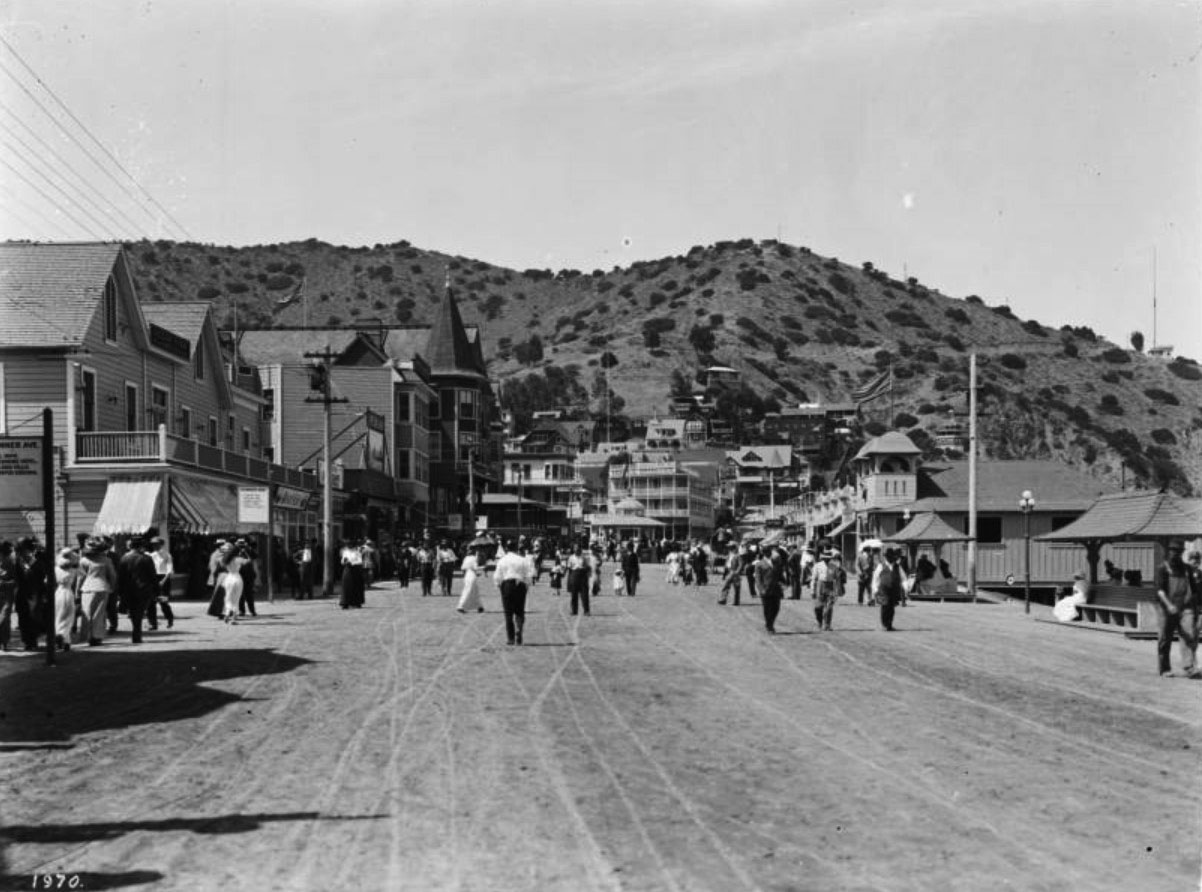 |
|
| (ca. 1905)* - Street scene looking north along the Strand, or Crescent Avenue, on Santa Catalina Island. Hundreds of pedestrians crowd the street and sidewalks while wooden commercial buildings line the avenue. Signs advertise hotels, cafes, golf links, tennis courts, restaurants, tobacco shops, and the Optimo Aquarium. |
Historical Notes This remarkable view captures Crescent Avenue at the height of Avalon’s Edwardian era resort popularity. Nearly every visible business catered directly to tourism, reflecting how completely the island’s economy depended upon seasonal visitors arriving by steamship from the mainland. The signs visible throughout the scene reveal the wide range of attractions available in Avalon during this period, including golf, tennis, dining, sightseeing excursions, and aquarium displays showcasing Catalina’s marine life. The Glenmore Hotel, visible among the signs, survives today as Avalon’s oldest remaining hotel and one of the few major structures to survive the devastating fire of 1915 that destroyed much of the original waterfront district. Equally striking is the absence of automobiles. Most visitors explored Avalon on foot, giving Crescent Avenue the relaxed pedestrian character that still defines the waterfront promenade more than a century later. |
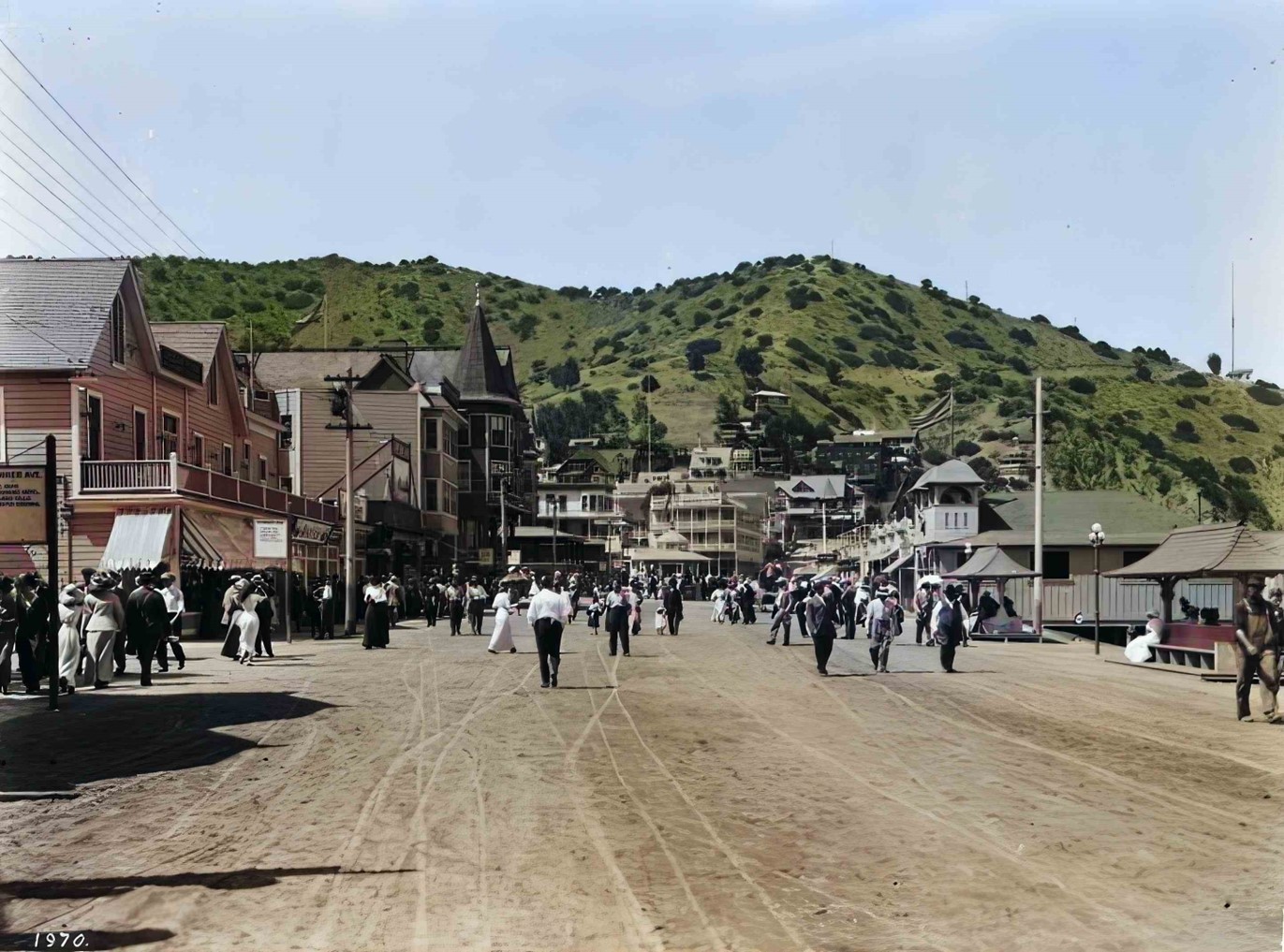 |
|
| (ca. 1905)* - View looking north along Crescent Avenue with the Hotel Metropole visible at upper center-left. AI enhancement and colorization by Richard Holoff. |
Historical Notes This enhanced and colorized view offers a vivid glimpse into the appearance of Crescent Avenue during Avalon’s early resort years. The wooden storefronts, awnings, dirt roadway, and dense pedestrian activity become easier to visualize through the carefully restored image, helping modern viewers connect more directly with the atmosphere of the era. Only a decade after this photograph was taken, much of the waterfront district would be destroyed in the fire of November 29, 1915. The disaster consumed many of the wooden hotels and commercial buildings that defined early Avalon, including the Hotel Metropole. The fire and declining tourism during World War I eventually forced the Banning family to sell the island in 1919 to chewing gum magnate William Wrigley Jr., whose redevelopment efforts permanently reshaped Crescent Avenue and Avalon Bay. |
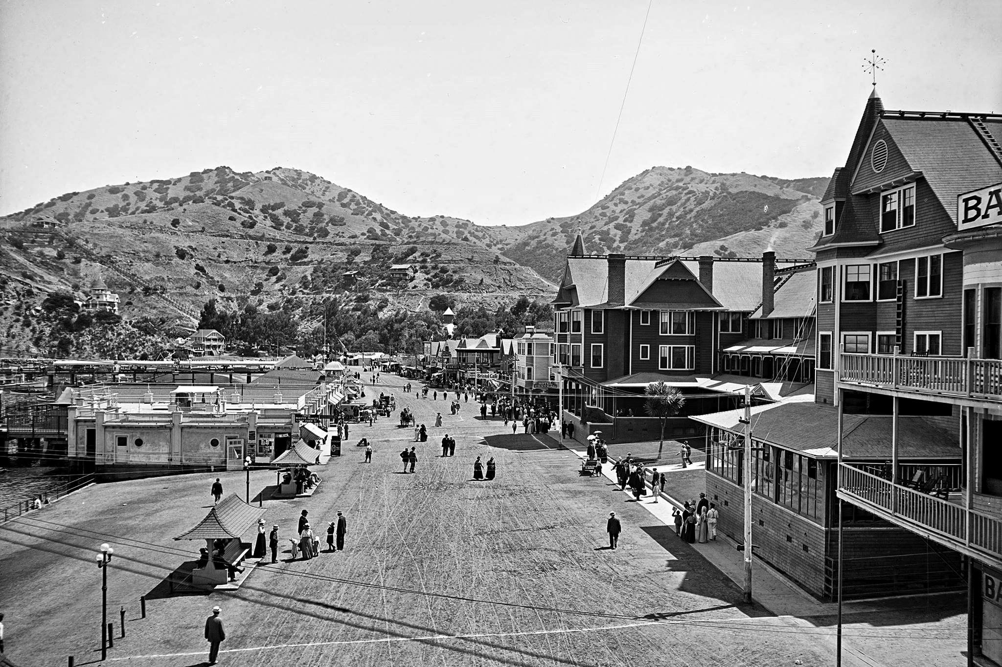 |
|
| (ca. 1915)* – View of Crescent Avenue showing the Hotel Metropole and Bay View Hotel at right. Source: Library of Congress. |
Historical Notes As Avalon’s popularity continued to grow, additional hotels and boarding houses appeared along Crescent Avenue to help meet the demand for lodging. The Bay View Hotel was among several smaller establishments that opened during the early twentieth century to accommodate the island’s expanding tourist trade. Although Crescent Avenue was still lined mainly with modest wooden buildings, the avenue had already developed into the center of Avalon’s resort economy. During peak summer periods, thousands of visitors crowded the waterfront district, filling the hotels, nearby Tent City, restaurants, excursion boats, and amusement attractions that defined the Catalina experience during the Banning era. |
Contemporary View
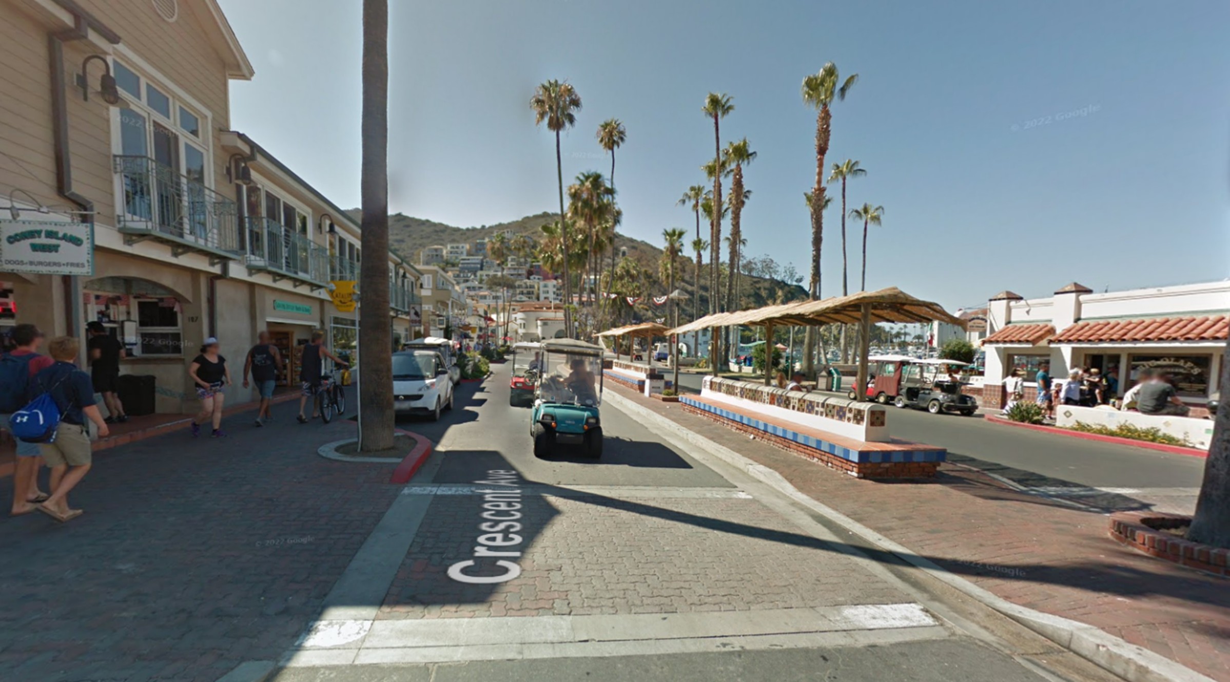 |
|
| (2016)* - Contemporary view looking north along Crescent Avenue, also known as The Strand or Front Street, beside Avalon Bay on Santa Catalina Island. |
Historical Notes The modern appearance of Crescent Avenue reflects the extensive redesign carried out during the Wrigley era in the 1920s and 1930s. Philip K. Wrigley introduced a more unified Spanish Colonial character to the waterfront, adding decorative tile work, palm trees, landscaped public spaces, and the serpentine seawall that still lines the bay today. The Catalina Casino, visible at the northern end of the harbor, opened in 1929 and became Avalon’s defining architectural landmark. Although the avenue has changed considerably since the wooden resort town seen in the early photographs, Crescent Avenue continues serving the same role it did more than a century ago: welcoming visitors to Avalon and functioning as the island’s primary social and commercial promenade. |
Crescent Avenue Through Time |
For more than a century, Crescent Avenue has remained the visual and social center of Avalon. Fires, redevelopment projects, and changing tourism patterns transformed many of the original buildings that once lined the waterfront, yet the graceful curve of Avalon Bay and the avenue’s role as the island’s gathering place have endured across generations.The following comparison illustrates both the dramatic changes and the remarkable continuity that still connect modern Avalon with the resort town that emerged during the island’s earliest years. |
Then and Now
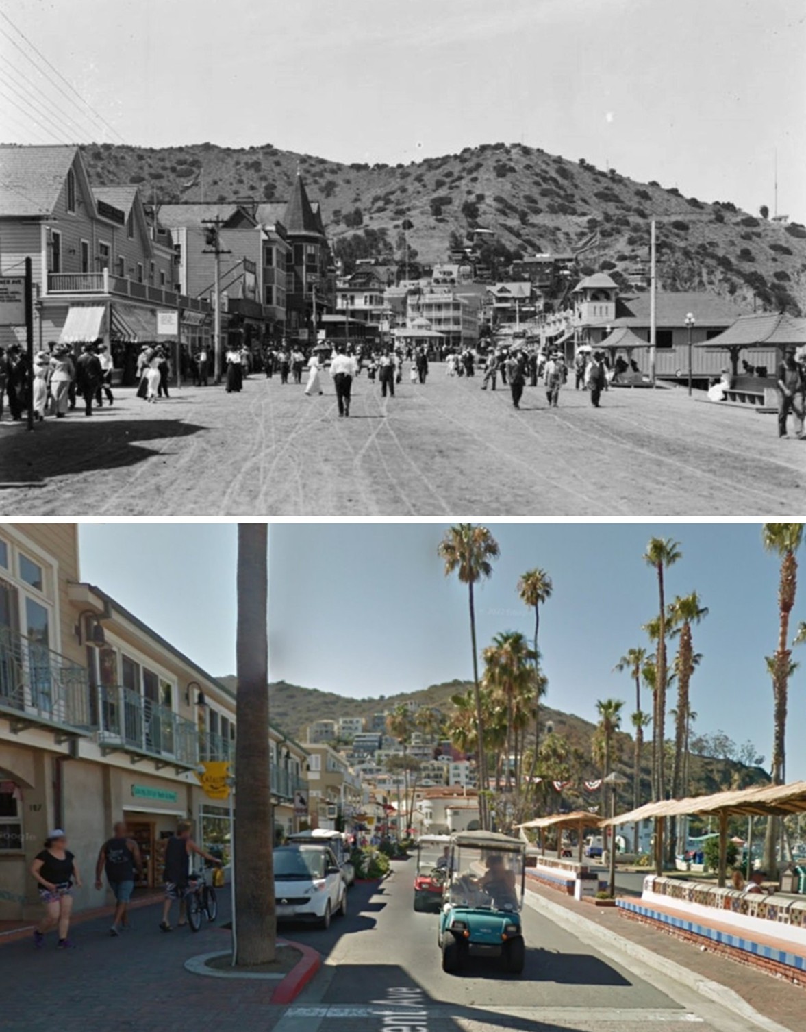 |
|
| (1905 vs 2016)* - Seen top and bottom: a then and now comparison looking north along Crescent Avenue, also known as The Strand or Front Street, beside Avalon Bay on Santa Catalina Island. The upper image shows the avenue around 1905 during the Banning era, while the lower image shows the same corridor in 2016 following the Wrigley era redesign of the waterfront. Photo comparison by Jack Feldman. |
Historical Notes More than a century separates these two views of Crescent Avenue. The upper photograph captures Avalon during its early resort years when wooden hotels, storefronts, and unpaved streets lined the waterfront. The lower image reflects Avalon after decades of rebuilding, modernization, and tourism growth, including the addition of the Catalina Casino and the Spanish Colonial inspired redesign introduced during the 1930s. Despite these changes, the essential relationship between Crescent Avenue and Avalon Bay remains remarkably intact. The avenue still curves naturally along the harbor, continues functioning as Avalon’s primary pedestrian promenade, and remains the first experience most visitors encounter upon arriving on Catalina Island. |
* * * * * |
Arch Rock |
Arch Rock was a natural stone arch located at Long Point, the widest part of Santa Catalina Island, roughly eight miles northwest of Avalon. During the late nineteenth and early twentieth centuries, the formation became one of Catalina’s best known natural attractions, drawing tourists who traveled by launch or stagecoach to see the dramatic coastal scenery beyond Avalon. Excursion boats regularly stopped at Arch Rock alongside nearby sea caves, secluded coves, and Buttonshell Beach, helping establish the area as one of the island’s most photographed destinations.The arch did not survive the early twentieth century intact. Some accounts state that vandals damaged the formation before 1910, while others report that the keystone collapsed naturally sometime during the first quarter of the century. Whatever the cause, Arch Rock disappeared long before modern Catalina tourism emerged, leaving only photographs, postcards, and written accounts to document one of the island’s earliest coastal landmarks. |
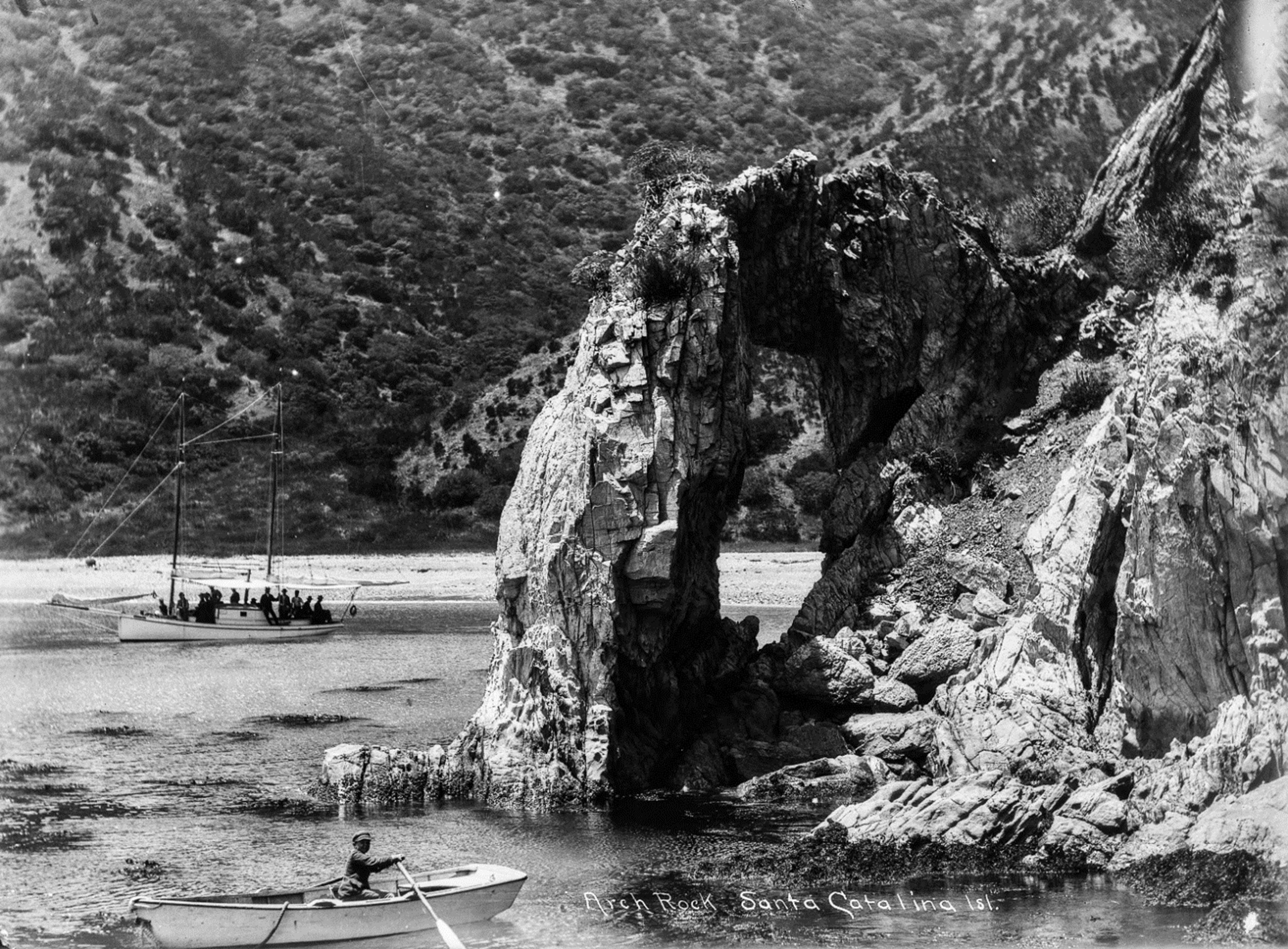 |
|
| (ca. 1905)* – A boy rows a small boat beside Arch Rock, a natural stone arch at Long Point on Santa Catalina Island, approximately eight miles northwest of Avalon. A sailboat is visible in the distance. Ernest Marquez Collection. |
Historical Notes Arch Rock stood along the rugged shoreline at Long Point, where centuries of wind and wave erosion carved a natural opening through the coastal rock. By the late nineteenth century, the formation had become a popular destination for sightseeing excursions promoted by the Banning brothers as part of the Catalina experience. Launch captains regularly brought visitors to the area to view the arch, nearby sea caves, and the island’s dramatic coastline beyond Avalon. The scale of the formation is clearly visible in this photograph, with the small rowboat emphasizing the size of the stone arch and surrounding cliffs. Images such as this helped promote Catalina’s rugged natural beauty during the island’s early resort years, when visitors sought scenery and experiences that felt far removed from the rapidly growing mainland cities of Southern California. |
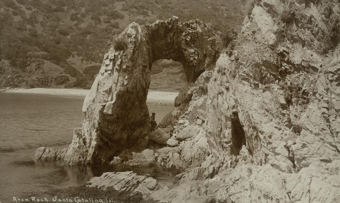 |
|
| (ca. 1906)* – A woman poses beneath Arch Rock on Santa Catalina Island. The stone arch connects to a rocky outcrop at right while Buttonshell Beach and a small dinghy are visible in the background. Photo by C. C. Pierce. |
Historical Notes This photograph by noted Southern California photographer C. C. Pierce captures Arch Rock shortly before its disappearance. The image illustrates why the formation became such a popular attraction during the early 1900s. The combination of rugged cliffs, isolated shoreline, and the naturally formed stone arch created one of Catalina Island’s most distinctive coastal scenes. Buttonshell Beach, visible in the distance, lay along a sheltered cove near Long Point and was known for the small shells that collected along the shoreline. Visitors often stopped there while exploring the area by launch or small boat. Accounts differ regarding the exact circumstances surrounding Arch Rock’s destruction. Some sources attribute the collapse to natural structural failure after the keystone gave way, while others report that vandals damaged the formation before 1910. By the mid-1910s, however, the arch no longer stood intact. |
* * * * * |
Ning-Po Smuggling Ship |
Among the more unusual attractions on Santa Catalina Island during the early twentieth century was the Ning-Po, an aging Chinese junk ship displayed first near Avalon and later at Catalina Harbor near the Isthmus. Promoted as one of the oldest vessels in the world, the ship became a floating museum, tourist attraction, restaurant, and motion picture backdrop during its years in Southern California.Originally built in China around 1753 under the name Kin Tai Foong, meaning “Golden Typhoon,” the vessel carried with it stories of piracy, smuggling, rebellion, and imprisonment that helped create an atmosphere of mystery and adventure around the aging junk. Although some parts of the ship’s history were likely exaggerated over time for promotional purposes, the Ning-Po became one of Catalina’s most memorable early tourist curiosities. |
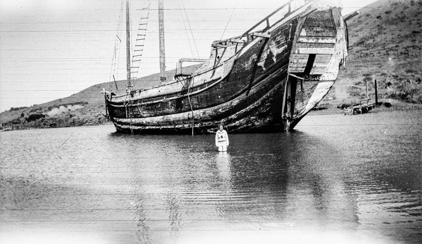 |
|
| (ca. 1917)* - A woman stands in shallow water beside the Ning-Po, a three-masted Chinese junk moored at Catalina Harbor near the Isthmus on Santa Catalina Island. |
Historical Notes The Ning-Po arrived in Southern California in 1913 after crossing the Pacific from China under the ownership of Pasadena businessman W. M. Milne. Built of ironwood and camphor, the vessel measured roughly 138 feet in length and immediately attracted public attention because of its unusual appearance and sensational history. Stories connected to the ship included piracy, smuggling, prison service, and participation in Chinese conflicts during the nineteenth century. After briefly operating near Avalon as a floating attraction and restaurant, the Ning-Po was eventually moved to Catalina Harbor at the Isthmus, where it became a popular stop for visitors exploring the quieter northern portion of the island. Its towering stern, oversized wooden anchor, and unfamiliar rigging made the vessel unlike anything most American tourists had ever seen. |
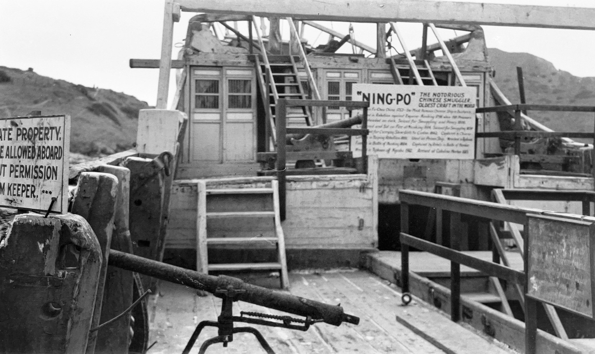 |
|
| (1920s)* - View of visitors aboard the Ning-Po at Catalina Harbor on Santa Catalina Island. A large sign on deck promoted the vessel as “the oldest craft in the world.” Photo courtesy of Paul Ayers. |
Historical Notes The Ning-Po drew steady crowds during the 1910s and 1920s as tourists boarded the aging junk to explore its weathered decks and examine displays describing the ship’s long and often sensationalized history. Signs and promotional materials highlighted tales of piracy, smuggling, rebellion, and imprisonment, transforming the vessel into both a floating museum and a form of entertainment. The attraction reflected a broader pattern in early Catalina tourism, when island promoters emphasized unusual sights, adventure, and exotic attractions alongside Avalon’s beaches, hotels, and recreational activities. The Ning-Po fit naturally into an era when visitors sought experiences that felt mysterious, theatrical, and far removed from everyday life on the mainland. |
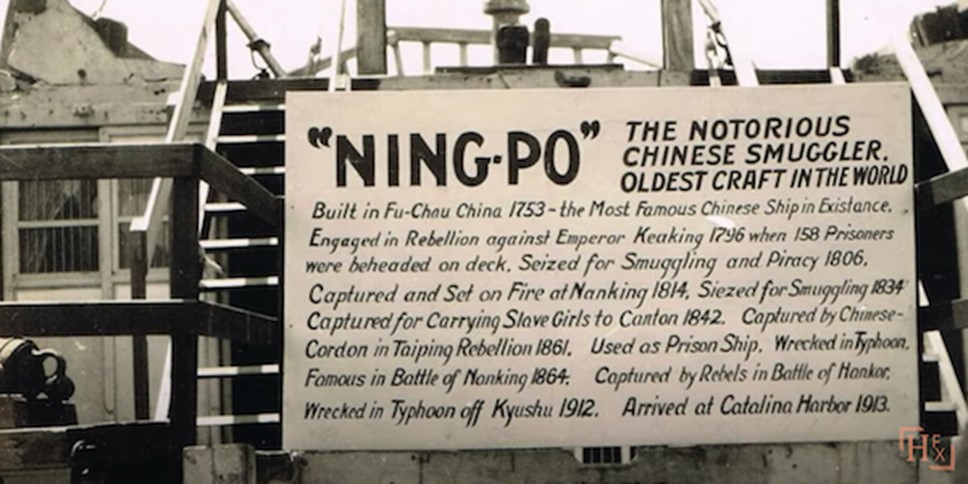 |
|
| (1920s)* - Close-up view of the historical chronology sign displayed aboard the Ning-Po at Catalina Harbor on Santa Catalina Island. The sign outlined the vessel’s claimed history dating back to its construction in China in 1753. |
Historical Notes The chronology sign aboard the Ning-Po played an important role in shaping the vessel’s legendary reputation. The display traced the ship’s supposed history through decades of voyages, smuggling activity, rebellion, imprisonment, and ownership changes, giving visitors a dramatic narrative to accompany their tour of the aging junk. Accounts of the Ning-Po’s final fate differ somewhat, though most agree that the vessel was destroyed by fire during the 1930s after years of deterioration at Catalina Harbor. One widely repeated version states that the junk was accidentally set ablaze during the filming of a motion picture when a burning prop vessel drifted too close. Whatever the exact circumstances, the destruction of the Ning-Po brought an end to one of Catalina Island’s most unusual and memorable early tourist attractions. |
* * * * * |
Steamships and Arrival at Avalon Harbor |
Arriving at Avalon meant arriving by water. For nearly every visitor who stepped onto Santa Catalina Island during the early twentieth century, the journey began with a steamship crossing from San Pedro to Avalon Harbor. Long before automobiles and modern ferries transformed Southern California travel, passenger steamers carried tourists across the channel to the growing island resort, turning Avalon Harbor into one of the busiest and most recognizable waterfront destinations on the Pacific coast.The Banning brothers understood that transportation was essential to Catalina’s success as a tourist destination. Through their Wilmington Transportation Company, they expanded steamship service to Avalon and introduced larger, more modern vessels capable of carrying growing numbers of visitors. Steamships such as the Hermosa II and Warrior II helped transform Avalon from a remote island settlement into one of Southern California’s leading seaside resorts.Approaching Avalon Harbor, passengers saw the curve of the bay, the Hotel Metropole facing the waterfront along Crescent Avenue, and Sugarloaf Point rising near the harbor entrance with its wooden staircase and viewing platform installed by the Bannings during the 1890s. The arrival itself became part of the Catalina experience, blending dramatic scenery with the excitement of entering one of California’s most fashionable early resort towns. |
 |
|
| (1903)* - An oarsman tends his boat in the foreground as the S.S. Hermosa No. II approaches the pier at Avalon Harbor on Santa Catalina Island. Jennett Family Collection - Courtesy of Gilbert C. Jennett. |
Historical Notes Launched in 1902, the S.S. Hermosa No. II was considered one of the most luxurious steamers operating in Southern California waters during the early twentieth century. Built for the Banning brothers’ Wilmington Transportation Company, the 139-foot vessel carried passengers between San Pedro and Avalon at a time when Catalina tourism was expanding rapidly. Its 700-passenger capacity reflected the dramatic increase in visitor traffic to the island during the steamship era. The launch of Hermosa II was celebrated in Avalon with unusual fanfare. On July 4, 1902, the older Hermosa I was anchored in Avalon Harbor and transformed into the centerpiece of a large bonfire and fireworks display marking the arrival of the new vessel. Rockets and Roman candles reportedly fired from the burning ship as crowds gathered along the waterfront to watch the spectacle. The event symbolized both the growing popularity of Catalina tourism and the rapid modernization of steamship travel linking Avalon to the mainland. |
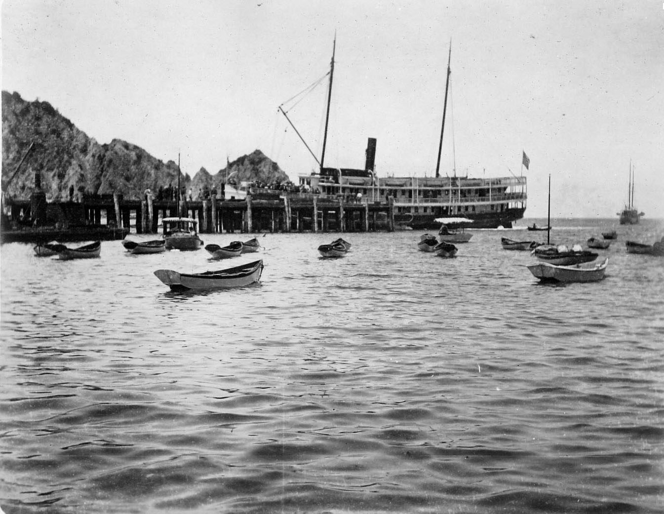 |
|
| (1903)* - The S.S. Hermosa No. II is docked at the Avalon wharf with Sugarloaf Point visible in the background at the northern edge of Avalon Harbor. Jennett Family Collection - Courtesy of Gilbert C. Jennett. |
| Historical Notes
This harbor view captures the Hermosa II tied alongside Avalon’s busy waterfront wharf during Catalina’s early tourism boom. Steamship arrivals brought tourists, freight, mail, and supplies directly into Avalon Harbor, making the pier one of the island’s most active and important locations. Sugarloaf Point, visible in the background, served as both a scenic landmark and a familiar visual marker for arriving passengers. The Bannings added a staircase and viewing platform to the rocky formation during the 1890s, turning it into a popular attraction for visitors exploring the harbor. Sugarloaf Point remained one of Avalon’s best known natural landmarks until it was gradually removed between the late 1910s and 1929 to make way for the construction of the Catalina Casino. |
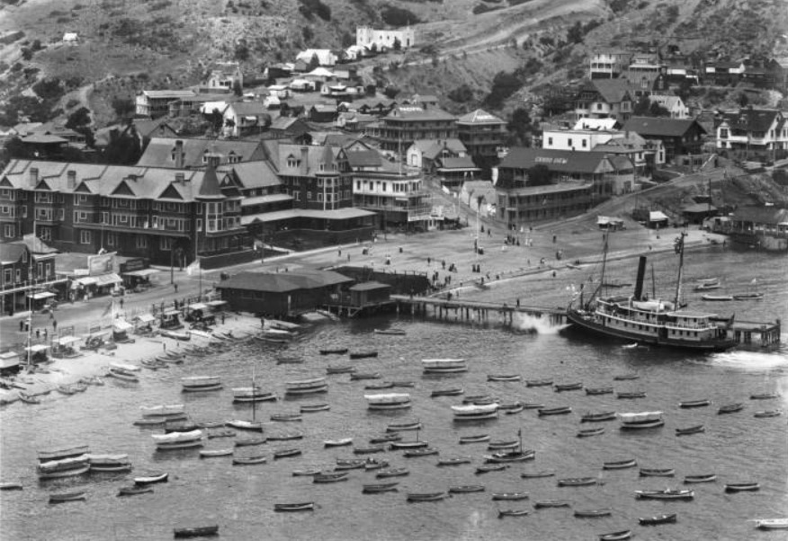 |
|
| (ca. 1905)* - Close-up view of Avalon showing the Hotel Metropole and Grand View Hotel along the waterfront, with numerous small boats in the harbor and the steamer Warrior II docked at the wharf. |
| Historical Notes
The Warrior II was one of several steamers operating between the mainland and Catalina Island during the early twentieth century. Built in 1900 for the Wilmington Transportation Company, the vessel supplemented the larger Hermosa II during busy travel periods as visitor traffic to Avalon continued growing each season. This photograph also provides an excellent view of Avalon’s expanding waterfront district during its first major tourism boom. The Hotel Metropole and Grand View Hotel dominate the shoreline while rowboats, launches, and excursion craft fill the harbor. By the mid-1900s, Avalon Harbor had become a lively transportation center where steamships, pleasure boats, fishing excursions, and sightseeing tours all operated side by side. |
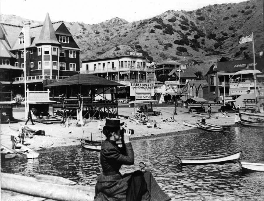 |
|
| (ca. 1902)* – A woman seated on the Avalon pier looks through binoculars toward Sugarloaf Point with the Hotel Metropole visible in the background along Crescent Avenue. |
| Historical Notes
The pier at Avalon served as both the island’s transportation gateway and one of its most important gathering places. Visitors arriving by steamer stepped directly onto the waterfront pier before entering Crescent Avenue and the resort district surrounding Avalon Bay. Between steamship arrivals, tourists and residents gathered there to watch harbor activity, observe small boats crossing the bay, and scan the channel for approaching vessels from the mainland. The woman with binoculars reflects the close connection between Avalon Harbor, arriving steamships, and the resort life centered around the Metropole Hotel. Positioned between the harbor and the waterfront hotels, the pier formed the social and visual center of Avalon during the island’s early resort years. |
Once ashore, visitors entered a lively waterfront resort centered around Avalon Bay, the Hotel Metropole, and the beaches that quickly became the social heart of the island. |
* * * * * |
Along the Waterfront: The Metropole and Avalon Beach |
For visitors stepping off the steamships at Avalon Harbor, the waterfront was the island. Crescent Avenue ran directly in front of the Hotel Metropole while the beach between the avenue and the bay functioned as Avalon’s outdoor gathering place during the summer months. Tourists strolled along the shoreline, watched boating activity in the harbor, rented rowboats, attended water events, and gathered wherever crowds formed beside the bay.By the early 1900s, the Banning brothers had spent more than a decade developing Avalon into a full scale seaside resort. Hotels, restaurants, excursion offices, bathhouses, golf links, tennis courts, and sightseeing attractions clustered around the waterfront district surrounding the Metropole. The harbor, beach, and Crescent Avenue together formed the social center of island life. |
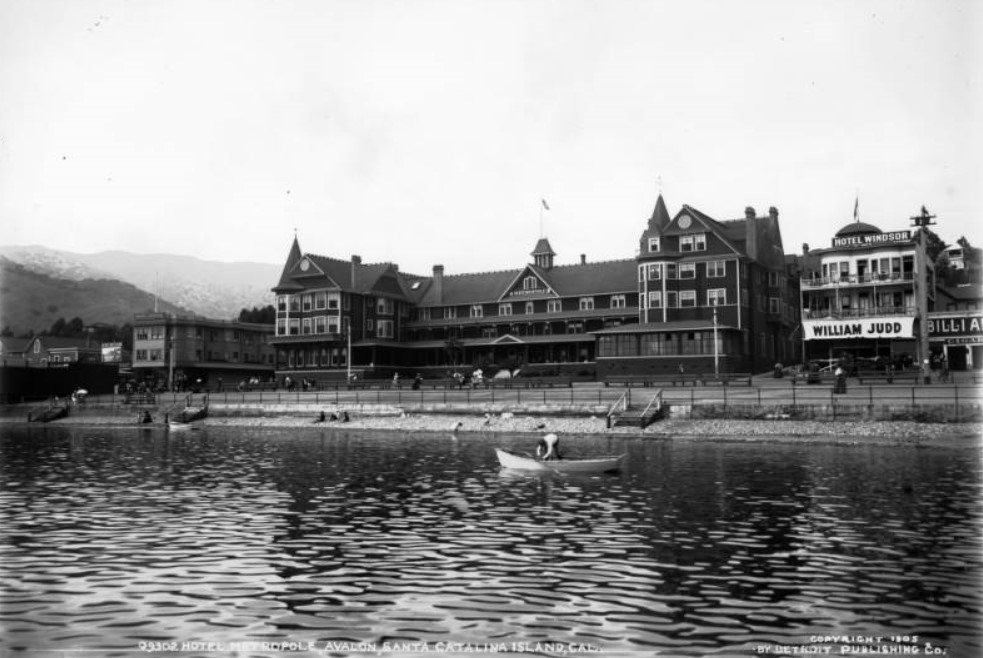 |
|
| (1905)* - Visitors walk and sit on the beach in front of the Hotel Metropole on Avalon Bay while a man rows a small boat in the foreground. Signs advertise the Metropole, Hotel Windsor, Hotel Central, Island Buffet, billiards, and cigars. |
| Historical Notes
This lively waterfront scene captures Avalon during the height of its early resort popularity. Tourists filled the beach in front of the Hotel Metropole, where visitors gathered to socialize, stroll along the shoreline, swim, and enjoy the cool ocean climate that helped make Catalina one of Southern California’s most fashionable vacation destinations. The numerous hotel and business signs visible along Crescent Avenue illustrate how quickly Avalon’s commercial district expanded during the early twentieth century. Restaurants, lodging houses, billiard parlors, cigar shops, and excursion businesses all catered directly to the growing tourist trade, helping transform the once isolated island settlement into a thriving seasonal resort community. |
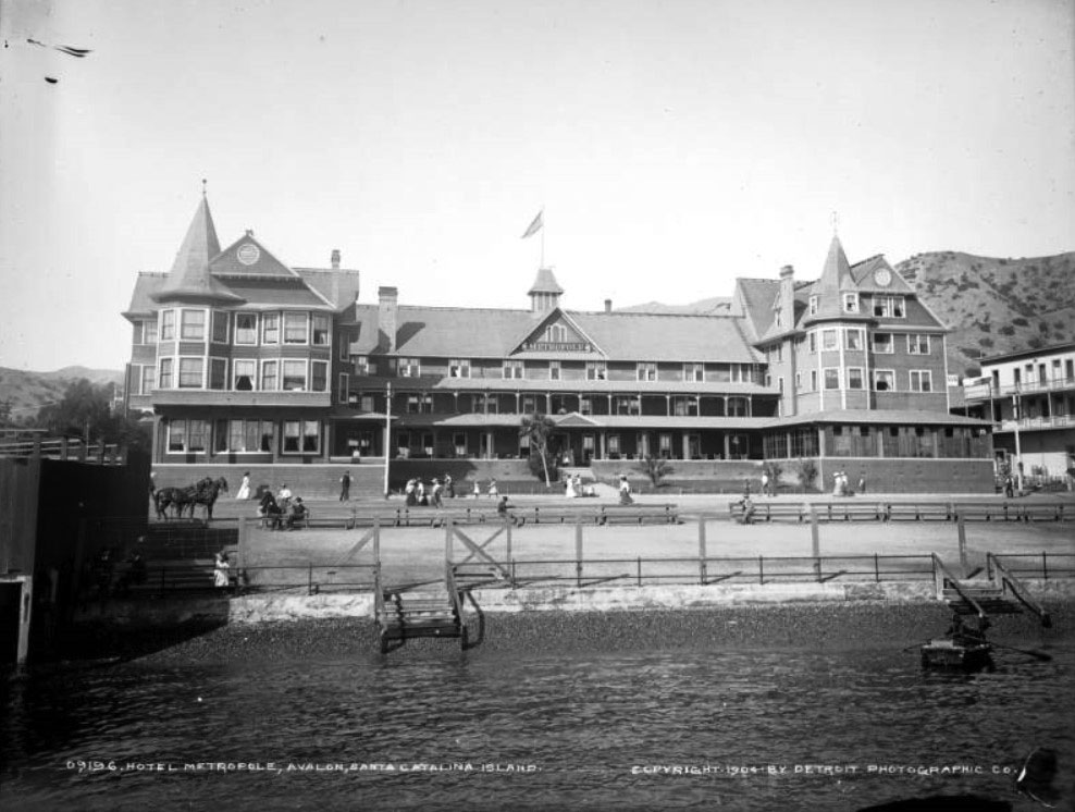 |
|
| (1904)* – View of the Hotel Metropole from the bay. People are seen sitting on benches while others walk on the road in front of the hotel. The Victorian structure has gables, a columned balcony, and front porch. A sign reads, "Metropole." Stairs lead down to the bay in front of the hotel. |
| Historical Notes
The Hotel Metropole dominated Avalon’s waterfront during the late nineteenth and early twentieth centuries. Originally completed in 1888 under George Shatto and later expanded during Banning ownership, the large Victorian structure became the architectural and social centerpiece of Avalon Bay. This view from the water emphasizes the hotel’s close relationship to the harbor and shoreline. Steamship passengers arriving in Avalon would have seen the Metropole almost immediately upon entering the bay, reinforcing its role as both a landmark and gathering place for visitors exploring Catalina during its formative resort years. The hotel remained the visual anchor of Avalon’s waterfront until its destruction in the fire of 1915. |
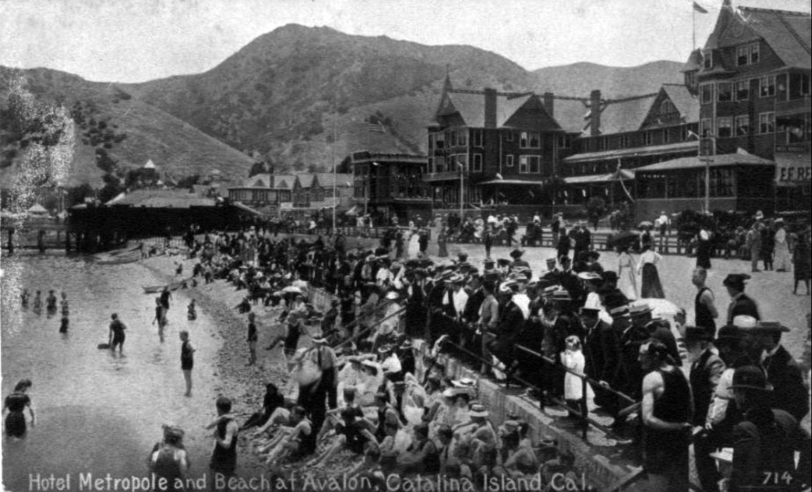 |
|
| (ca. 1907)* - A large crowd gathers along Avalon Bay to watch a water event with the Hotel Metropole visible in the background along Crescent Avenue. |
| Historical Notes
Water events, boat races, swimming contests, holiday celebrations, and public spectacles were common attractions along Avalon’s waterfront during the early twentieth century. The Banning brothers regularly organized activities designed to entertain visitors and encourage longer stays on the island, turning Avalon Bay itself into a stage for recreation and public gatherings. This photograph captures the communal atmosphere that defined Avalon during its early resort years. The beaches, harbor, hotels, and waterfront promenade all functioned together as parts of a shared public space where tourists and residents gathered beside the bay. The Hotel Metropole, visible in the background, remained the dominant visual landmark of Avalon’s waterfront until the devastating fire of November 29, 1915. |
* * * * * |
Arriving at Catalina |
For generations of Southern Californians, the journey to Santa Catalina Island began aboard a steamship crossing the channel from the mainland. Long before modern ferries and private boats became common, visitors traveled to Avalon on vessels such as the S.S. Cabrillo, stepping ashore beside a waterfront lined with hotels, excursion offices, beaches, and bustling crowds. The arrival itself became part of the vacation experience, combining ocean travel, dramatic scenery, and the excitement of entering one of California’s most fashionable early resort towns.By the early twentieth century, Catalina had become one of the leading tourist destinations on the Pacific coast. Steamship arrivals were greeted with celebrations, sightseeing excursions, and local traditions that quickly became part of Avalon’s identity. Among the most famous were the boys who dove into the harbor waters to retrieve coins tossed by arriving passengers, a practice that survived for decades and became one of Avalon’s best known waterfront customs.Together, these images capture the excitement, spectacle, and atmosphere of arriving at Catalina during the height of the steamship era. |
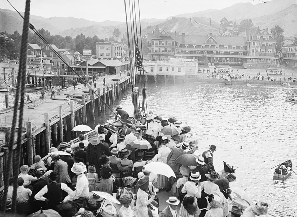 |
|
| (ca. 1904)* - A boat crowded with passengers arrives at the Avalon pier on Santa Catalina Island with the Hotel Metropole visible along Crescent Avenue in the background. |
| Historical Notes
Avalon’s waterfront pier served as the main point of entry for nearly every visitor arriving on Santa Catalina Island during the steamship era. Passengers crossing the channel from San Pedro or Los Angeles first encountered Avalon here before entering the busy waterfront district surrounding the Hotel Metropole and Crescent Avenue. By 1904, the Wilmington Transportation Company was carrying tens of thousands of tourists annually to Avalon Harbor, helping transform the island into one of Southern California’s leading resort destinations. The Hotel Metropole, visible in the background, quickly became one of Avalon’s best known landmarks and helped establish the elegant resort atmosphere promoted by the Banning brothers during Catalina’s tourism boom years. |
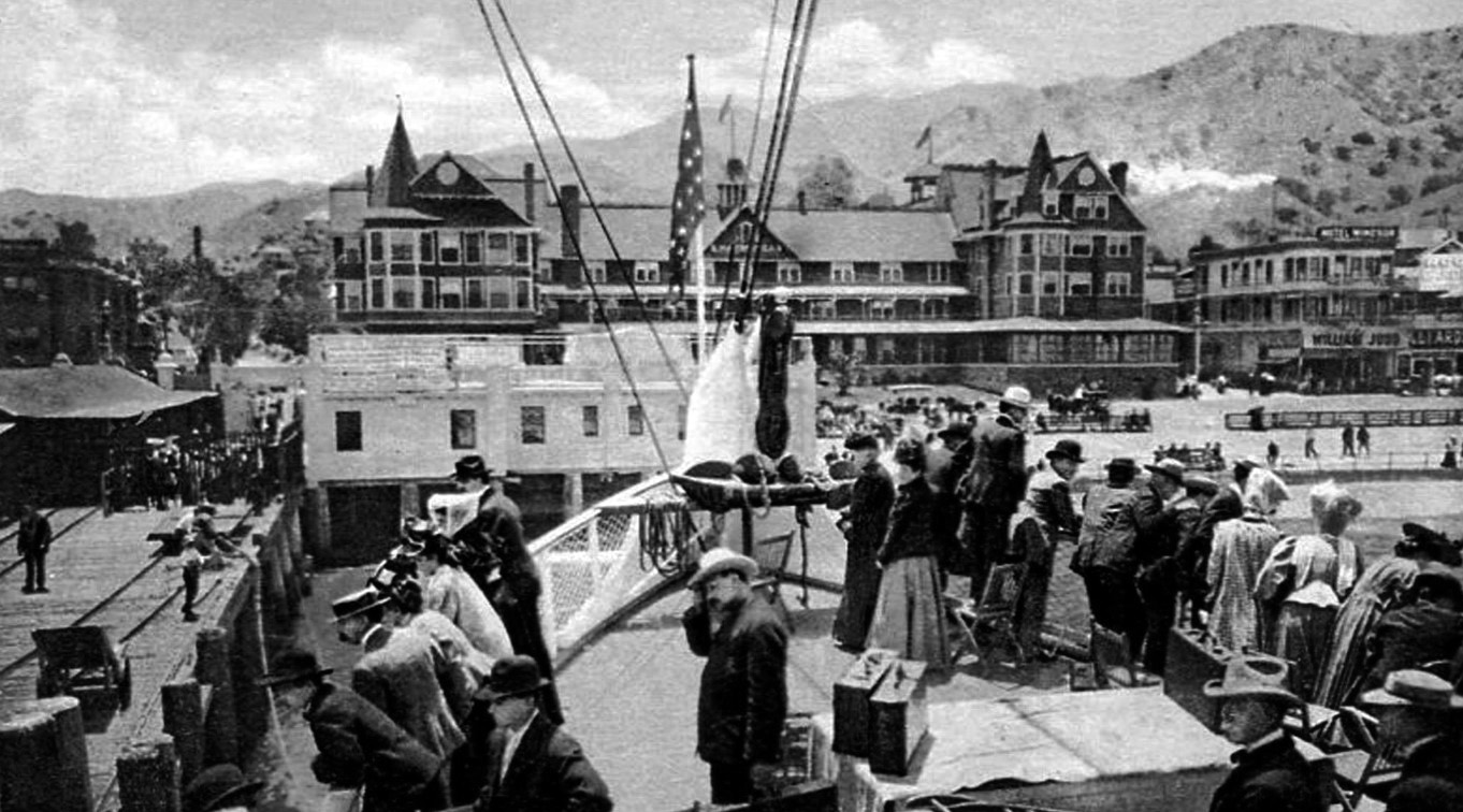 |
|
| (1904)* – Postcard view from aboard the S.S. Cabrillo as the steamship approaches Avalon Harbor on Santa Catalina Island. |
| Historical Notes
The S.S. Cabrillo became one of the best known steamships operating between the mainland and Catalina Island during the early twentieth century. Built for the Wilmington Transportation Company, the vessel was designed specifically for the growing Catalina tourist trade and quickly gained a reputation for speed, comfort, and reliability. Views such as this were widely promoted through postcards and tourism literature advertising the Catalina experience. Passengers approaching Avalon Harbor were greeted by the curve of the bay, the waterfront hotels, Sugarloaf Point, and the steep hillsides rising behind the town. For many visitors, the harbor approach itself became one of the most memorable parts of the journey to Catalina. |
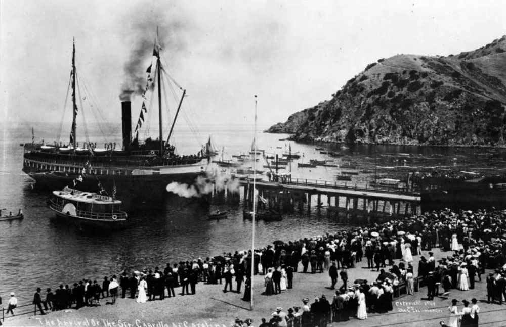 |
|
| (1904)* – Crowds gather along the Avalon waterfront to welcome the S.S. Cabrillo during its maiden voyage arrival at Santa Catalina Island. |
| Historical Notes
The arrival of the S.S. Cabrillo in Avalon during 1904 was celebrated as a major public event. Crowds gathered along the waterfront to welcome the new steamship, which represented the continued expansion of Catalina tourism during the Banning era. Named after explorer Juan Rodríguez Cabrillo, the vessel quickly became one of the most recognizable passenger steamers serving Catalina Island. Its introduction reflected the increasing demand for transportation to Avalon as tourism expanded rapidly during the years before widespread automobile travel reshaped recreation in Southern California. |
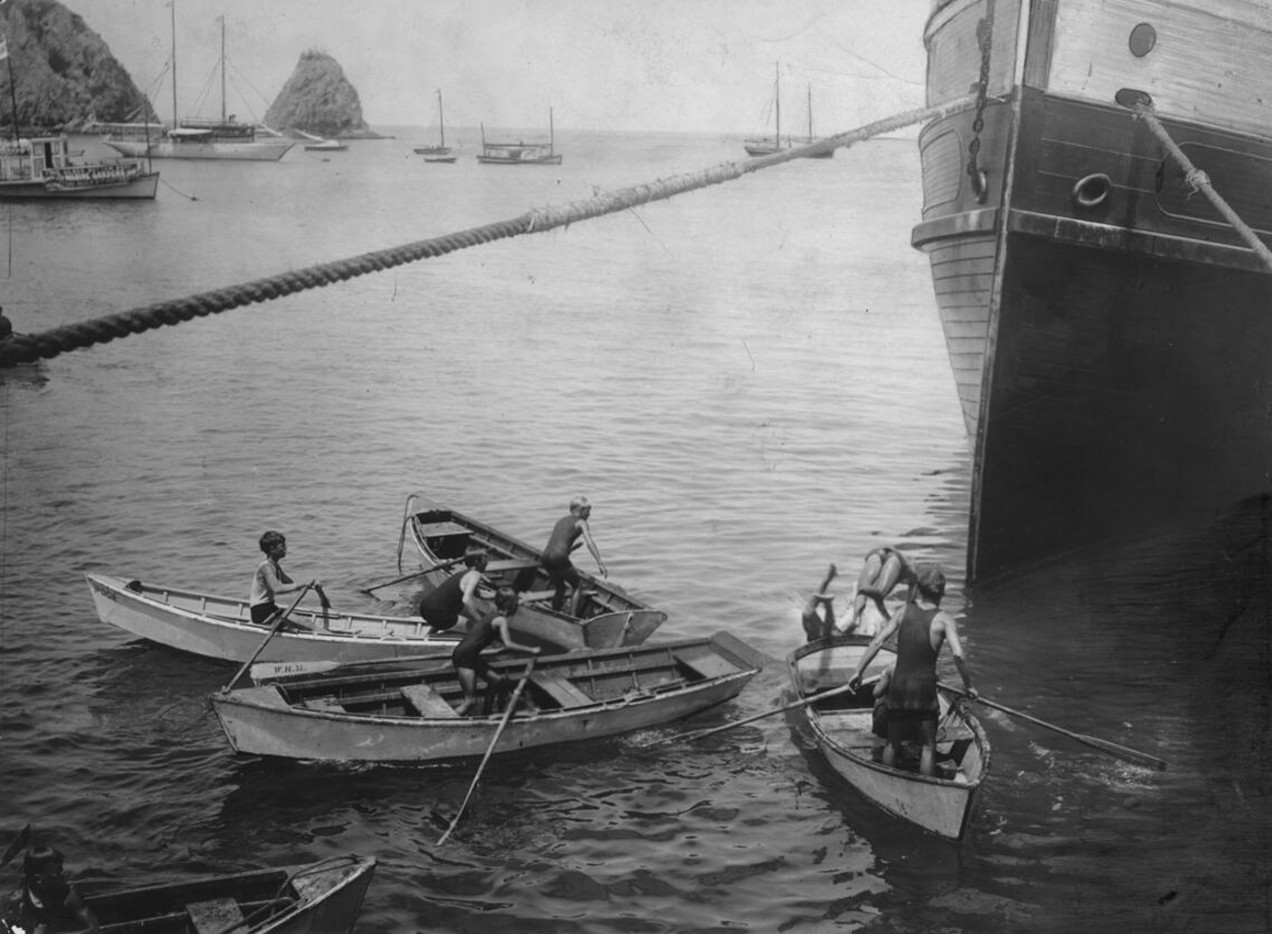 |
|
| (ca. 1905)* – Boys dive for coins tossed into Avalon Harbor by arriving passengers near the waterfront pier on Santa Catalina Island. Photo by C. C. Pierce |
| Historical Notes
Coin diving became one of Avalon’s most famous waterfront traditions during the steamship era. As passenger vessels approached the pier, tourists tossed coins into the harbor while local boys dove into the clear waters below to retrieve them. The practice provided entertainment for visitors while offering the boys an opportunity to earn money from arriving tourists. Photographers frequently captured the spectacle, helping transform the coin divers into one of Catalina Island’s most recognizable tourist images during the early twentieth century. The tradition survived for decades and became closely tied to Avalon’s playful and informal harbor culture. |
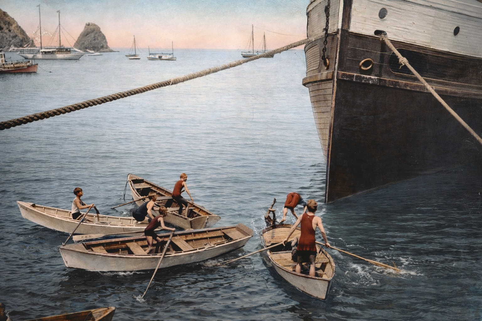 |
|
| (ca. 1905)* – Colorized view of Avalon’s famous coin divers leaping into the harbor waters beside the waterfront pier. Colorization by Jack Feldman. |
| Historical Notes
This colorized version of the famous coin diving scene helps bring added life and atmosphere to one of Avalon’s best known harbor traditions. The clear waters of Avalon Bay, the wooden pier, and the crowds of arriving visitors all contributed to the lively environment surrounding the waterfront during Catalina’s tourism boom years. Although Avalon changed dramatically during the twentieth century, the image of young divers leaping into the harbor remained closely associated with Catalina’s identity. The tradition symbolized the relaxed and carefree atmosphere that distinguished Avalon from many mainland resort communities during the steamship era. |
Beyond the excitement of arrival, Avalon Harbor itself operated as the center of Catalina’s growing steamship and tourism economy. |
* * * * * |
Avalon Harbor and the Steamship Era |
During the late nineteenth and early twentieth centuries, Avalon Harbor functioned as the transportation, commercial, and social center of Santa Catalina Island. Steamships arriving from San Pedro carried thousands of visitors each season, transforming Avalon from a small island settlement into one of Southern California’s leading resort destinations. Hotels, bathhouses, excursion offices, beaches, and boating facilities clustered around the waterfront, creating a lively harbor district built almost entirely around tourism and recreation. The steamship era also shaped the visual character of Avalon Bay. Passenger vessels tied up at the pier while rowboats, launches, fishing craft, and excursion boats crowded the harbor. From mainland departure terminals to the busy waterfront surrounding Avalon Bay, Catalina tourism revolved around the steady rhythm of steamship arrivals and departures. |
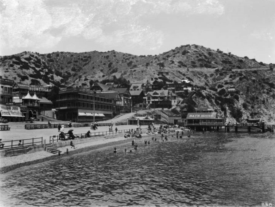 |
|
| (ca. 1908)* - Sunbathers and swimmers gather near Avalon’s Bath House as viewed from the waterfront pier on Santa Catalina Island. |
| Historical Notes
Avalon’s beaches quickly became one of the island’s main attractions during the early twentieth century. Visitors arrived seeking ocean swimming, boating, fishing, and relief from summer heat on the mainland. Bathhouses along the waterfront provided changing rooms, bathing suits, and beach services for the growing number of tourists crowding Avalon Bay. This scene captures the lively atmosphere surrounding the waterfront during Catalina’s tourism boom years. The combination of beaches, steamships, hotels, and recreational activities helped establish Avalon as one of California’s earliest large scale seaside resort communities. |
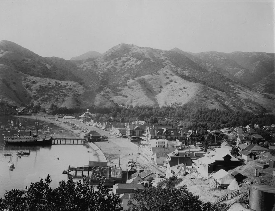 |
|
| (ca. 1904)* - View of Avalon Harbor with the S.S. Cabrillo docked at the pier on Santa Catalina Island. |
| Historical Notes
By 1908, the S.S. Cabrillo had become one of the principal steamships serving Catalina Island. The vessel regularly transported passengers between San Pedro and Avalon, helping accommodate the growing tourist trade that fueled the island’s economy during the Banning years. This harbor scene illustrates the increasingly busy character of Avalon Bay during the early twentieth century. Steamships shared the waterfront with rowboats, launches, fishing vessels, and excursion craft, creating a harbor environment that combined transportation, recreation, and sightseeing activity within a relatively compact area. |
 |
|
| (1904)* - Panoramic view of Avalon Harbor and the growing waterfront resort district on Santa Catalina Island. |
| Historical Notes
This panoramic view illustrates the rapid growth of Avalon during the early years of Catalina tourism. Hotels, boarding houses, commercial buildings, beaches, and piers lined the shoreline surrounding Avalon Bay while steep hillsides rose dramatically behind the developing resort town. By the early 1900s, the Banning brothers had transformed Avalon into a highly organized tourist destination offering steamship excursions, fishing trips, golf, tennis, dance pavilions, and sightseeing tours. The harbor itself remained the center of nearly all island activity, serving simultaneously as Avalon’s transportation hub, recreational playground, and public gathering place. |
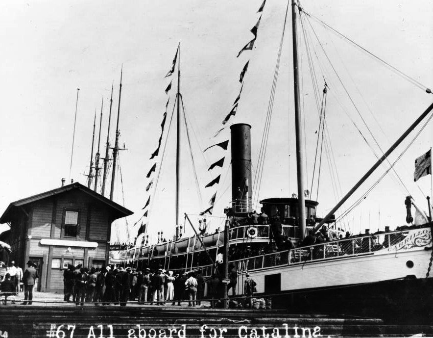 |
|
| (1907)* - Members of the Shriners prepare to board the S.S. Cabrillo at Los Angeles Harbor for an excursion to Santa Catalina Island. |
| Historical Notes
Organized excursions to Catalina became increasingly popular during the early twentieth century as social organizations, businesses, and clubs arranged group outings to Avalon. Steamships such as the Cabrillo made these large scale excursions possible by carrying hundreds of passengers comfortably across the channel. The Shriners excursion shown here reflects the broader popularity of Catalina tourism during the steamship era. Trips to Avalon were promoted not only as vacations, but also as social events that combined sightseeing, recreation, entertainment, and ocean travel into a single experience. |
 |
|
| (ca. 1905)* - Birdseye view of Avalon Harbor showing the waterfront district and the S.S. Hermosa II docked at the pier. |
| Historical Notes
This elevated harbor view captures Avalon during one of its busiest periods of early development. The S.S. Hermosa II, visible at the dock, was among the steamships responsible for carrying growing numbers of tourists to Catalina during the first decade of the twentieth century. The tightly packed waterfront buildings, crowded harbor, and expanding pier facilities demonstrate how completely Avalon’s economy revolved around tourism. Nearly every visible structure and activity within the scene was connected in some way to the steady stream of visitors arriving by steamship from the mainland. |
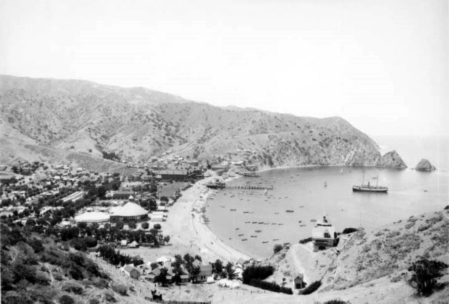 |
|
| (1905)* - Panoramic hillside view of Avalon Harbor as the S.S. Hermosa II approaches the waterfront on Santa Catalina Island. |
| Historical Notes
Seen from the hillsides above Avalon, the harbor appears as a compact resort community nestled between steep terrain and the protected waters of Avalon Bay. Steamships approaching the pier provided a constant visual reminder of the island’s dependence upon maritime transportation during the early tourism era. This photograph also preserves the appearance of Avalon before many later changes reshaped the harbor district. Sugarloaf Point still dominates the waterfront near the entrance to the bay while the dense collection of hotels, commercial buildings, piers, and beaches reflects the rapid expansion of the resort community during the Banning years. |
Rising above the harbor and waterfront district was Sugarloaf Point, where the Banning family maintained scenic overlooks and their island residence above Avalon Bay. |
* * * * * |
Sugarloaf Point and the Banning Residence |
Before the construction of the Catalina Casino transformed the northern end of Avalon Harbor, Sugarloaf Point stood as one of the island’s most recognizable natural landmarks. Rising prominently beside the entrance to Avalon Bay, the rocky formation became both a scenic attraction and a symbol of early Catalina tourism during the Banning years. Visitors climbed stairways built into the hillside to enjoy sweeping views of the harbor and surrounding coastline.The slopes surrounding Sugarloaf Point also became home to the Banning family residence known as Descanso. From this elevated setting overlooking Avalon Bay, the Bannings maintained gardens, terraces, and private grounds that contrasted sharply with the busy waterfront district below. Together, these images preserve the appearance of Sugarloaf Point and the surrounding landscape before the area was dramatically altered during construction of the Catalina Casino in 1929. |
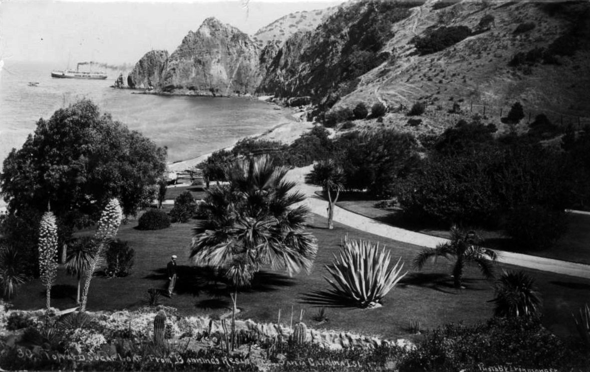 |
|
| (ca. 1906)* - View of Sugarloaf Point from the Banning gardens as a steamship rounds the point entering Avalon Harbor. |
Historical Notes This view from the Banning property captures Sugarloaf Point during the height of Avalon’s early resort years. Steamships approaching the harbor passed directly beside the rocky formation before entering Avalon Bay, making Sugarloaf one of the first landmarks visible to arriving passengers. The gardens surrounding the Banning residence reflected the family’s effort to create a refined private retreat overlooking the growing resort community below. From these elevated grounds, the Bannings enjoyed panoramic views of the harbor, waterfront hotels, and arriving steamships that shaped daily life in Avalon. |
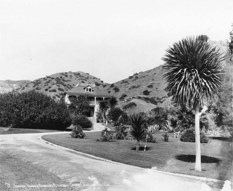 |
|
| (ca. 1906)* - View of Hancock Banning’s two-story Avalon residence known as “Descanso” near Sugarloaf Point on Santa Catalina Island. |
Historical Notes The Banning residence known as Descanso stood on the hillsides above Avalon near Sugarloaf Point during the early twentieth century. The home served as both a private residence and a symbol of the family’s central role in developing Catalina Island into a major tourist destination. Positioned above the harbor, the residence provided commanding views of Avalon Bay and the surrounding coastline. The property remained closely associated with the Banning family until the island was sold to William Wrigley Jr. in 1919, marking the end of the Banning era on Catalina. |
 |
|
| (1903)* - Two women and a man stand on the lawn near the Banning residence overlooking Avalon Harbor. Jennett Family Collection - Courtesy of Gilbert C. Jennett. |
| Historical Notes
This informal family scene provides a glimpse of life on the private grounds surrounding the Banning residence during Avalon’s early resort years. The carefully maintained lawn and landscaped setting contrasted sharply with the crowded waterfront district developing below along Avalon Bay. The Banning family occupied a unique position in Catalina’s history, functioning simultaneously as island owners, resort developers, transportation operators, and promoters of tourism. From their hillside property near Sugarloaf Point, they oversaw the rapid transformation of Avalon into one of Southern California’s leading seaside destinations. |
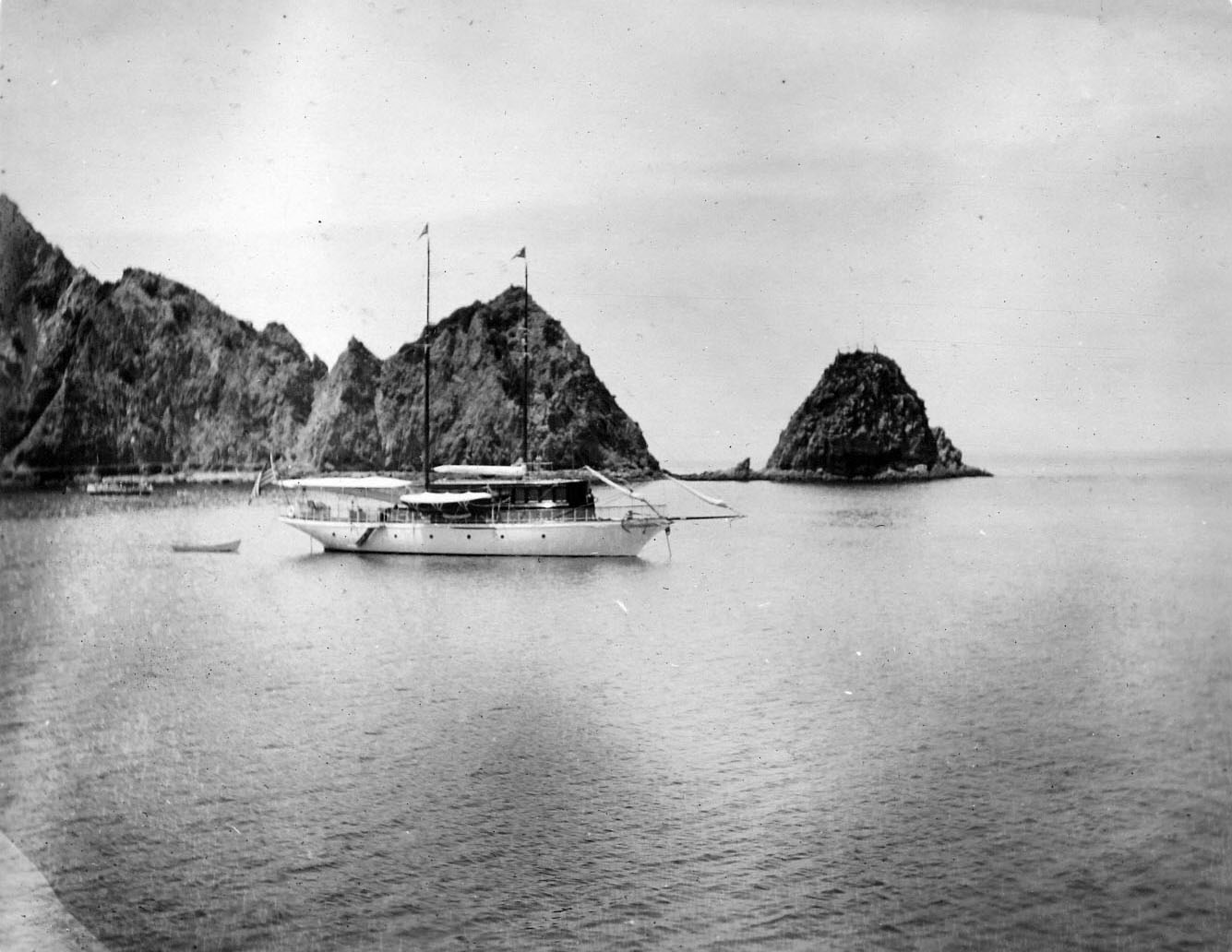 |
|
| (1903)* - A two-masted schooner is docked near Sugarloaf Point at Avalon Harbor on Santa Catalina Island. |
| Historical Notes
Although passenger steamships dominated Catalina tourism during the early twentieth century, sailing vessels and smaller commercial craft continued operating throughout Avalon Harbor. Schooners such as the one seen here transported freight, supplies, and materials necessary to support the growing island resort community. This image also preserves an important view of Sugarloaf Point before later development reshaped the harbor entrance. The rocky promontory remained one of Avalon’s defining geographic features until its gradual removal during the 1920s to accommodate construction of the Catalina Casino. |
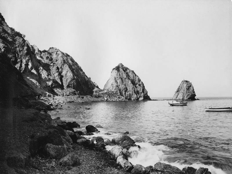 |
|
| (1908)* - Smaller boats rest near Sugarloaf Point with an access road visible along the hillside above Avalon Harbor. |
Historical Notes Roads and pathways gradually expanded across the hillsides surrounding Avalon as tourism increased during the early twentieth century. Access routes near Sugarloaf Point allowed visitors to reach scenic overlooks, private residences, and excursion areas beyond the crowded waterfront district. The smaller boats gathered near shore illustrate the variety of watercraft operating around Avalon during this period. Rowboats, launches, fishing boats, and excursion vessels all formed part of the active harbor environment that developed alongside Catalina’s growing tourism economy. |
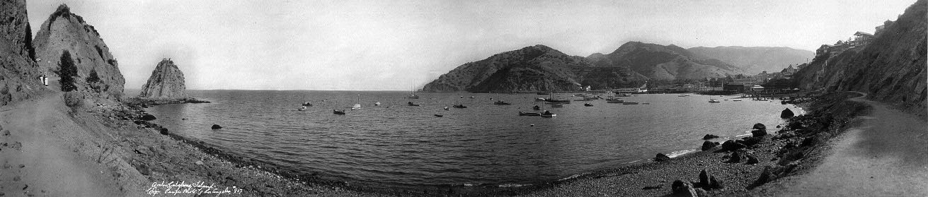 |
|
| (ca. 1911)* - Panoramic view of Avalon Bay and the waterfront district as seen from near Sugarloaf Point on Santa Catalina Island. |
| Historical Notes
This panoramic view captures Avalon during the final years before major changes reshaped the harbor landscape. The waterfront district had expanded rapidly during the Banning years, filling the shoreline with hotels, piers, beaches, and commercial buildings centered around Avalon Bay. Within two decades, much of the landscape visible here would be transformed. Sugarloaf Point itself would be largely removed during construction of the Catalina Casino while Avalon continued evolving from a rustic Victorian era resort town into the more modern tourist destination associated with the Wrigley years. |
* * * * * |
Avalon Bowl and Catalina’s Summer Concerts |
By the early 1900s the Banning brothers had assembled a full entertainment program for Avalon’s summer visitors: steamship excursions, glass-bottom boat rides, stagecoach tours into the island interior, golf, tennis, and nightly dancing along the waterfront. To expand Avalon’s evening attractions even further, the Bannings constructed a large outdoor amphitheater on the hillside at the south end of Crescent Avenue overlooking Avalon Bay.Known as the Avalon Bowl, the Greek Amphitheater, or simply the Bandstand, the venue seated hundreds of spectators on long tiered wooden benches built into the natural slope of the hillside. Evening concerts beneath the open sky became one of Avalon’s most popular social activities during the steamship era, combining music, cool ocean air, and panoramic views of the harbor landscape surrounding Sugarloaf Point and Holly Hill House.The primary performers at the amphitheater were Porter’s Catalina Island Marine Band, which played regular summer concerts there from 1904 to 1927 before continuing performances later in the evening at Avalon’s dance pavilion. Together, the concerts, waterfront attractions, and steamship excursions helped transform Catalina from a rustic island getaway into one of Southern California’s leading resort destinations. |
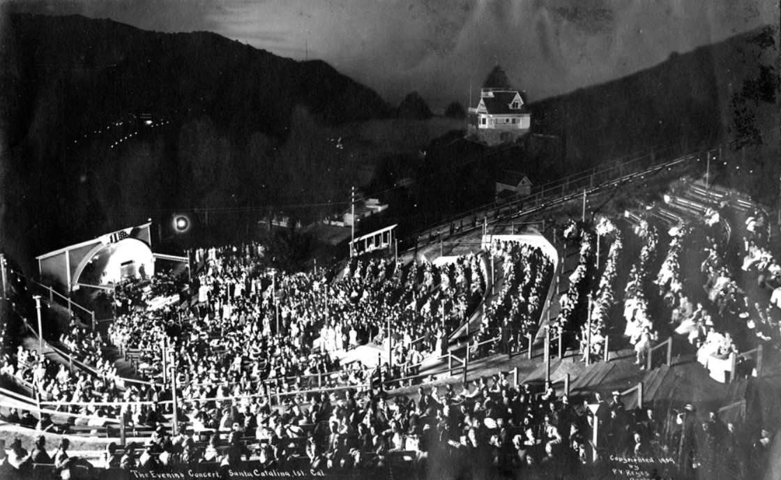 |
|
| (ca. 1905)* – An evening band concert at the Avalon Bowl amphitheater on Santa Catalina Island. Audience members occupy the tiered wooden benches while the band performs below. Holly Hill House rises above the amphitheater on the hillside and Sugarloaf Point is visible in the distance. |
Historical Notes The Avalon Bowl amphitheater occupied a hillside site at the southern end of Crescent Avenue that naturally formed a bowl-shaped setting for outdoor performances. The venue seated approximately 750 spectators on long wooden benches arranged along the slope above the covered stage. Built during Avalon’s tourism boom years, the amphitheater gave the island a large outdoor entertainment venue capable of serving crowds arriving daily aboard steamships from the mainland. Holly Hill House, visible above the amphitheater, was built by civil engineer Peter Gano between 1888 and 1890 and remains one of Avalon’s oldest surviving homes. Its distinctive Queen Anne tower became one of Avalon’s most recognizable landmarks and appears prominently in many early photographs of the Avalon Bowl. The amphitheater itself was demolished in 1931 during the Wrigley era. |
 |
|
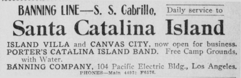 |
|
| (1909)* - Los Angeles Herald advertisement dated June 22, 1909 promoting daily steamship service to Santa Catalina Island aboard the Banning Line steamer S.S. Cabrillo. The advertisement highlights Island Villa, Canvas City, and Avalon attractions during the summer season. |
Historical Notes Advertising played an essential role in Catalina’s tourism growth during the early twentieth century. Southern California newspapers regularly promoted steamship excursions to Avalon, emphasizing the island’s beaches, accommodations, concerts, and recreational attractions. The Banning brothers carefully marketed Catalina as a complete resort experience combining transportation, entertainment, scenery, and outdoor recreation. Advertisements from this period frequently promoted free campground space and fresh water for visitors staying in Avalon’s tent communities. Evening performances by Porter’s Catalina Island Marine Band at the Avalon Bowl were also featured prominently in Banning Line advertising, helping attract visitors seeking both recreation and organized social entertainment during their stay on Catalina Island. |
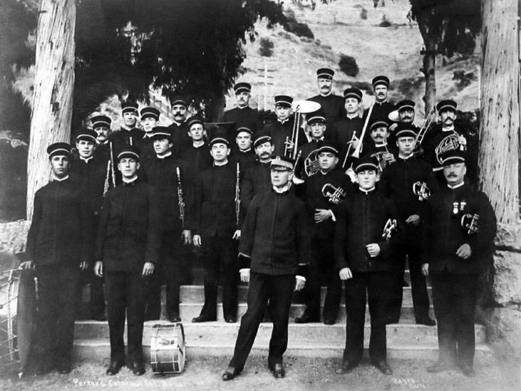 |
|
| (ca. 1909)* – Charles H. Porter’s Catalina Island Marine Band poses for a photograph at the Avalon Bowl amphitheater on Santa Catalina Island. |
Historical Notes Porter’s Catalina Island Marine Band became one of the defining entertainment attractions of Banning-era Avalon. The group performed evening concerts at the Avalon Bowl throughout the summer season, helping establish music and public performances as an important part of the Catalina visitor experience. Charles H. Porter managed the band and frequently entertained audiences between musical selections by reading poems or telling jokes from the stage. The band’s longtime conductor was George Mulford. After completing performances at the amphitheater, the musicians often continued playing later in the evening at Avalon’s waterfront dance pavilion, creating a continuous entertainment program for visitors during the busy summer months. |
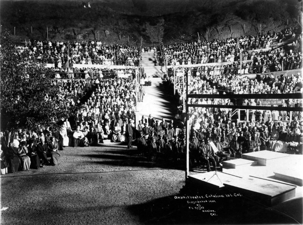 |
|
| (1909)* - Porter’s Catalina Island Marine Band poses with audience members at the Avalon Bowl amphitheater on Santa Catalina Island. Hundreds of visitors fill the long wooden benches rising up the hillside behind the stage. |
Historical Notes This photograph provides one of the clearest surviving views of the Avalon Bowl at the height of its popularity during the steamship era. The large audience filling the hillside benches demonstrates the important role that concerts and public entertainment played in Avalon’s growing tourism economy during the early twentieth century. The amphitheater’s open-air design took advantage of Avalon’s natural terrain while offering spectators views of the surrounding hillsides and harbor district below. Admission to the evening concerts was commonly included as part of the broader Catalina excursion experience promoted by the Banning brothers, reinforcing the idea that entertainment, transportation, and recreation were all closely connected parts of a visit to Avalon. |
As Avalon expanded beyond the waterfront, new attractions carried visitors into the hills above the harbor, offering panoramic views, tea houses, and excursions to Lovers Cove. |
* * * * * |
Santa Catalina Incline Railway |
(also known as the Island Mountain Railway) |
Among the more unusual attractions introduced during Catalina’s tourism boom was the Santa Catalina Incline Railway, a hillside funicular system built above Avalon during 1905 and opened for regular service in early 1906. Constructed on the steep slopes overlooking Avalon Bay, the railway carried visitors from the area near the Avalon Bowl to scenic overlooks high above the harbor before descending toward Pebbly Beach and Lovers Cove on the opposite side of the ridge.The incline railway reflected the Banning brothers’ continuing effort to transform Catalina into a fully developed resort destination filled with engineered attractions that took advantage of the island’s dramatic terrain. Visitors could ride to hilltop tea houses, enjoy panoramic views of Avalon Harbor, or continue to Lovers Cove for glass-bottom boat excursions along Catalina’s rocky shoreline. During its years of operation, the incline railway became one of Avalon’s most photographed and distinctive tourist attractions. |
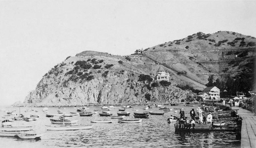 |
|
| (1905)* – View across Avalon Harbor toward the southern hillside, with the Holly Hill House visible at center. The track of the Santa Catalina Incline Railway ascends the hillside above Avalon Bay. |
Historical Notes Construction of the incline railway began during the summer of 1905 as workers carved a route into the steep hillsides above Avalon Harbor. The lower terminal stood near the base of the Avalon Bowl amphitheater, making the railway a natural extension of the entertainment district developing at the south end of Crescent Avenue. The Holly Hill House visible below the railway was built between 1888 and 1890 by civil engineer Peter Gano and remains one of Avalon’s oldest surviving homes. Positioned directly beneath the railway route, the house became closely associated with the hillside attractions that transformed this part of Avalon during the Banning years. |
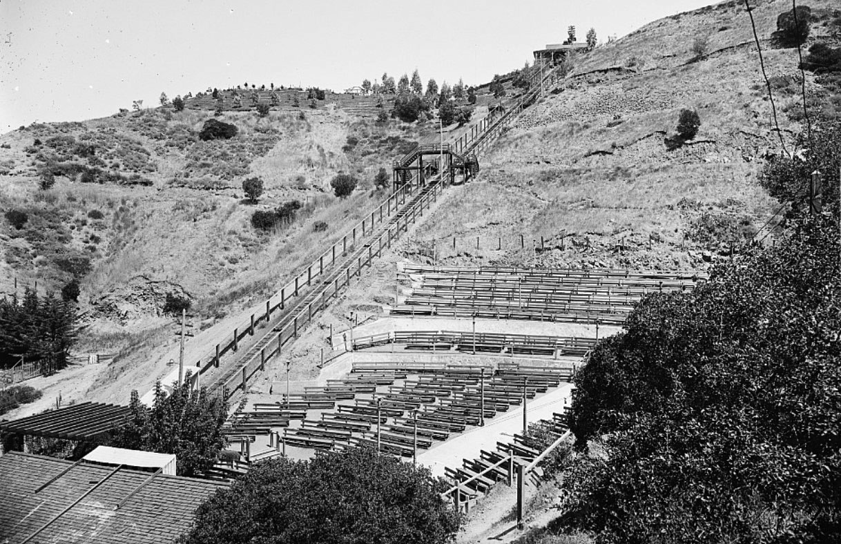 |
|
| (ca. 1905)* – View looking up the southern hillside from behind the Avalon Bowl amphitheater with the Santa Catalina Incline Railway ascending the slope at lef |
Historical Notes The Santa Catalina Incline Railway consisted of two connected funicular lines operating on opposite sides of the ridge above Avalon. One line climbed from the amphitheater area to Buena Vista Point at the summit, while the second descended toward Pebbly Beach and Lovers Cove on the far side of the hill. The railway was designed as part transportation system and part sightseeing attraction. Passengers ascending the western slope enjoyed expanding views of Avalon Harbor and the surrounding coastline before reaching the summit tea house overlooking the channel nearly 500 feet above the bay. |
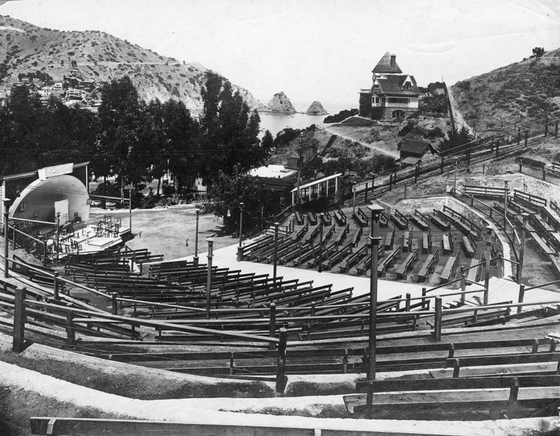 |
|
| (ca 1910)* - View of the Avalon Bowl amphitheater with one of the funicular cars of the Santa Catalina Incline Railway visible on the hillside above. Holly Hill House rises behind the amphitheater while Sugarloaf Point appears in the distant background. |
Historical Notes This photograph captures the close physical relationship between the Avalon Bowl and the incline railway during Catalina’s tourism boom years. Together, the amphitheater, hillside railway, summit tea house, and waterfront attractions formed a connected entertainment district extending from Crescent Avenue into the hills above Avalon Harbor. The image also preserves the appearance of Avalon before major changes reshaped the harbor landscape. Holly Hill House still overlooks the amphitheater while Sugarloaf Point remains visible in the distance near the entrance to Avalon Bay. Within two decades, both the amphitheater and the incline railway would disappear while Sugarloaf itself would be largely removed during construction of the Catalina Casino. |
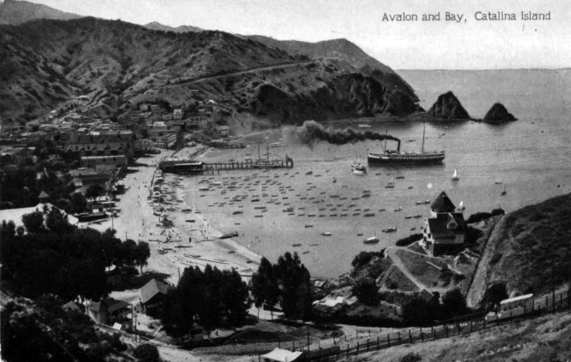 |
|
| (ca. 1911)* - Postcard view showing a funicular car of the Santa Catalina Incline Railway ascending the steep western slope above Avalon Bay. |
Historical Notes Postcards frequently featured the incline railway because of its dramatic setting and unusual appearance. Funicular systems remained relatively uncommon in Southern California during the early twentieth century, making the Catalina railway both a practical transportation system and a tourist curiosity. The steep ascent provided riders with increasingly expansive views of Avalon Harbor, the waterfront hotels, and the surrounding coastline. Images such as this circulated widely through postcards and tourism literature, helping promote the incline railway as one of Catalina’s signature attractions during the steamship era. |
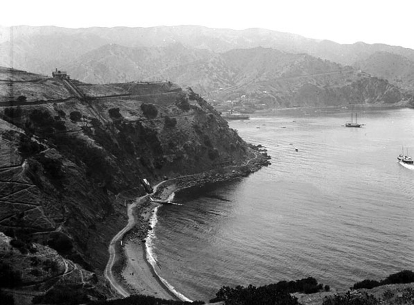 |
|
| (ca. 1905)* - View of the eastern funicular descending from the summit tea house toward Pebbly Beach and Lovers Cove on Santa Catalina Island. |
Historical Notes Passengers reaching Buena Vista Point at the summit could continue down the eastern slope toward Lovers Cove and Pebbly Beach, where glass-bottom boat excursions operated along Catalina’s rocky shoreline. A pier constructed near the cove allowed visitors to transfer directly from the incline railway to marine sightseeing tours in the clear waters below. The summit itself contained a tea house and powerhouse serving the railway system. During its years of operation, the incline railway became known by several names, including the Santa Catalina Incline Railway, the Island Mountain Railway, and occasionally “Angel’s Flight.” Although initially successful, the system declined following the devastating Avalon fire of 1915 and permanently closed in 1923. |
 |
|
| (1910)* - The lower landing of the Island Mountain Railway near Lovers Cove on Santa Catalina Island. A funicular car rests beside the shaded wooden waiting platform decorated with potted plants. |
Historical Notes This lower station view captures the Island Mountain Railway near the height of its operation. Signs posted at the landing advertised fares between Avalon, the summit station, and Lovers Cove, while passengers could request rides by pressing a button at the station platform. Adult round-trip fares generally cost 25 cents while children rode for 15 cents. The landscaped station area reflected the Banning brothers’ effort to present even transportation facilities as part of Catalina’s resort experience. Visitors arriving at the lower landing could continue directly to Lovers Cove for boating excursions or return uphill toward panoramic viewpoints overlooking Avalon Harbor. Although the railway disappeared more than a century ago, portions of its old right-of-way reportedly remained visible on the hillsides above Avalon for many years afterward. |
* * * * * |
Glass Bottom Boats and Undersea Tours |
Before visitors could scuba dive or snorkel, the glass bottom boat offered one of the only ways to see the underwater world beneath the waters of Avalon Bay. The idea grew out of a practical technique used by local fishermen who placed panes of glass in the bottoms of their rowboats to spot fish and abalone below the surface. Around 1890, Avalon abalone harvester Charley Feige adapted the concept for tourists, allowing visitors to peer into the kelp forests and marine life surrounding the island. Within only a few years, glass bottom boat excursions had become one of Catalina’s defining attractions.The man most responsible for transforming the idea into a thriving industry was Captain J. E. “Pard” Mathewson, a Massachusetts-born boatbuilder who arrived in Avalon in 1892 and established Avalon Boat Works. Recognizing the growing demand, Mathewson began constructing larger purpose-built vessels equipped with increasingly sophisticated glass viewing panels. His Mon Ami, launched in 1902, was considered the island’s first true glass bottom powerboat. Larger boats soon followed, including the Cleopatra, Lady Lou, and eventually the Empress, which carried more than 100 passengers and became one of the most recognizable vessels in Avalon Harbor.The marine environment viewed through those early glass panels was extraordinary. Lover’s Cove and the waters surrounding Sugarloaf Point offered unusually clear visibility over rocky reefs and giant kelp forests filled with Garibaldi fish, bat rays, sea anemones, and other marine life. Captains often served as narrators, blending natural history with local lore while guiding visitors through Catalina’s “marine gardens.” More than a century later, modern glass bottom boat tours still follow many of the same routes first explored by those early operators, preserving one of the island’s oldest and most enduring traditions. |
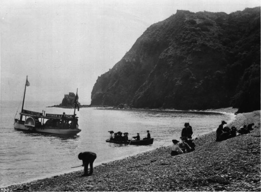 |
|
| (ca. 1905)* - View at Pebbly Beach showing a small rowboat ferrying passengers ashore from a glass bottom power launch moored in the cove. A dozen more visitors wait on the beach while others remain aboard the larger vessel. The rocky headland of Abalone Point and the entrance to Lover’s Cove are visible in the background. A sign on the launch reads “Glass Bottom Power Launch.” |
Historical Notes Lover’s Cove, located just east of Avalon Bay below the bluffs of Abalone Point, became one of the primary destinations for Catalina’s early glass bottom boat excursions. The cove’s calm water, rocky bottom, and exceptional water clarity created ideal viewing conditions for observing fish, kelp forests, and marine life beneath the surface. Captains would slowly maneuver their boats across the reefs while passengers gathered around the glass viewing panels built into the hull. The small rowboat seen here served as a tender, transporting passengers between the moored launch and the shore at Pebbly Beach. Before specialized docking facilities were constructed near Lover’s Cove, this type of transfer system was common. The photograph also captures the transition from simple rowboat excursions to larger motorized launches that were beginning to dominate Catalina’s growing marine tourism industry during the early 1900s. |
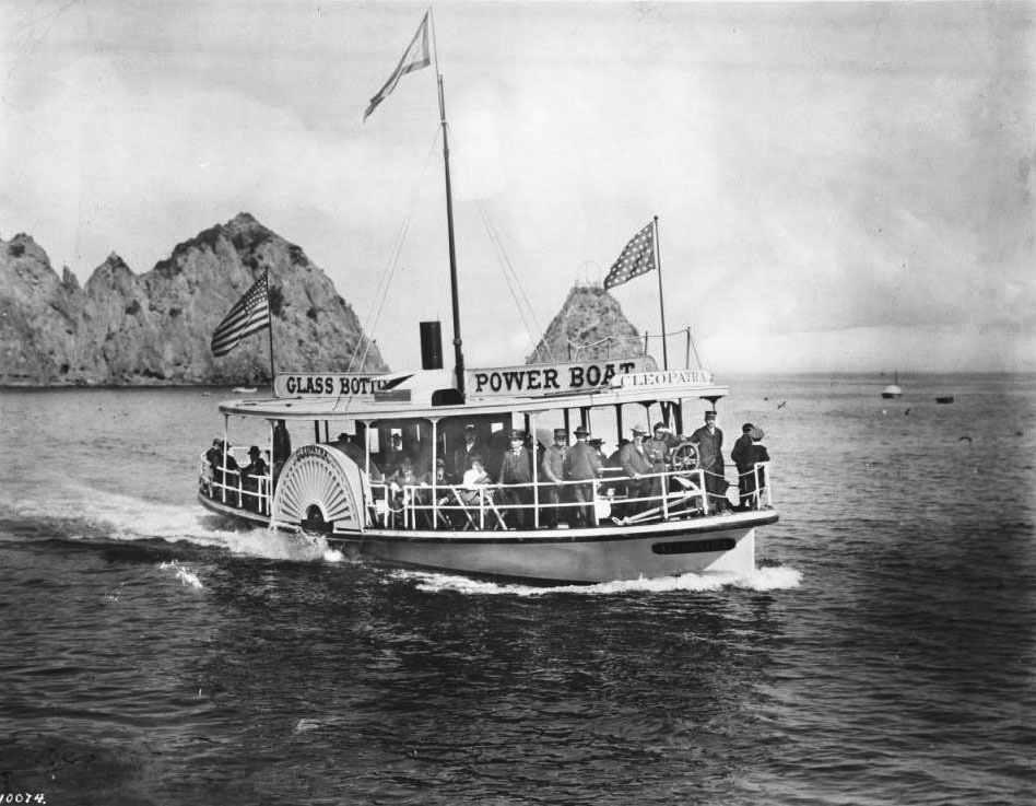 |
|
| (ca. 1905)* - View of a glass bottom boat excursion near Sugarloaf Point on Santa Catalina Island, with the distinctive rocky landmark visible in the background. |
Historical Notes Glass bottom boat tours originated not as a tourist attraction but as a practical fishing technique. Local fishermen working the kelp beds around Catalina had long used glass panels set into the bottoms of small boats to locate fish and abalone beneath the water. Around 1890, Charley Feige realized visitors were just as fascinated by the underwater scenery as the fishermen themselves and began charging tourists for guided marine viewing excursions. Sugarloaf Point, visible in the distance, marked the eastern edge of Avalon Bay and became one of the island’s best-known landmarks during the resort era. The surrounding waters were famous for their clarity and abundance of sea life. Early visitors described seeing brilliant orange Garibaldi fish, swaying kelp forests, sea urchins, bat rays, and sea anemones through the glass panels beneath their feet, an experience few mainland tourists had ever encountered before. |
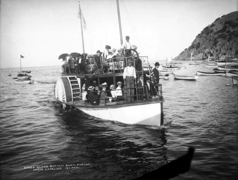 |
|
| (ca. 1904)* - Passengers stand and sit aboard a crowded side-wheel glass bottom boat as the captain steers through Avalon Bay. A navigational buoy and several vessels are visible in the distance. This early side-wheeler reflects the transition from simple rowboat excursions to purpose-built tourist vessels that helped define Catalina’s glass bottom boat industry in the early 1900s. |
Historical Notes Captain J. E. “Pard” Mathewson played a central role in developing Catalina’s glass bottom boat industry. After arriving in Avalon in 1892 and opening Avalon Boat Works, Mathewson recognized the commercial potential of the island’s growing marine tourism trade. In 1902, his boatyard launched the Mon Ami, a 38-foot side-wheel gas launch considered the island’s first true glass bottom powerboat. Additional vessels soon followed, including the Cleopatra, Lady Lou, and eventually the much larger Empress. The side-wheel design seen in this photograph proved especially effective for operating above Catalina’s rocky reefs and kelp beds. Paddle wheels allowed captains to maneuver slowly and maintain steady positioning without disturbing the water beneath the hull. This stability was important because passengers relied on clear visibility through the glass viewing panels to observe the underwater world below. |
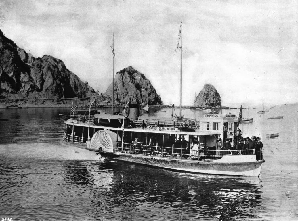 |
|
| (ca. 1917)* - The glass bottom boat Empress at rest in Avalon Harbor, with Sugarloaf Point visible in the background. Passengers are spread across the lower deck while several others occupy the upper deck observation area. The pilot stands within the forward cabin, and an American flag flies from the stern. |
Historical Notes Launched in 1906 for the Meteor Boat Company, the Empress represented a major advance in Catalina’s growing glass bottom boat fleet. Built at Terminal Island, the vessel measured approximately 80 feet in length and could accommodate more than 100 passengers, making it one of the largest excursion boats operating in Avalon Harbor at the time. Electric lighting, expanded observation areas, and increased passenger capacity reflected the rapidly growing popularity of Catalina tourism during the early twentieth century. By the 1910s and 1920s, the Empress had become one of Avalon’s best-known harbor vessels and appeared regularly in postcards, travel brochures, and promotional materials advertising Catalina Island. Together with companion vessels such as the Cleopatra and Lady Lou, the Empress helped establish the glass bottom boat excursion as an essential part of the Catalina visitor experience. |
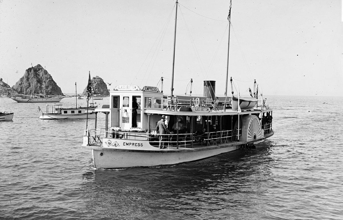 |
|
| (ca. 1917)* - The side-wheel glass bottom boat Empress returns to Avalon Harbor after a marine gardens excursion with Sugarloaf Point rising in the background. Passengers are visible on both decks as the vessel crosses the calm harbor waters. |
Historical Notes The years surrounding World War I marked the height of Catalina’s early glass bottom boat era. Improved steamship connections between Los Angeles, Long Beach, and Avalon brought steadily increasing numbers of visitors to the island, and marine garden excursions became one of the most heavily promoted attractions. Companies operating the boats emphasized safety, comfort, and the uniqueness of Catalina’s underwater scenery in newspaper advertisements and travel literature throughout Southern California. Catalina’s association with glass bottom boats eventually extended into popular culture, including the 1966 MGM comedy The Glass Bottom Boat starring Doris Day and Rod Taylor. More than a century after the first commercial excursions began, modern vessels still follow many of the same routes pioneered by Catalina’s early operators. |
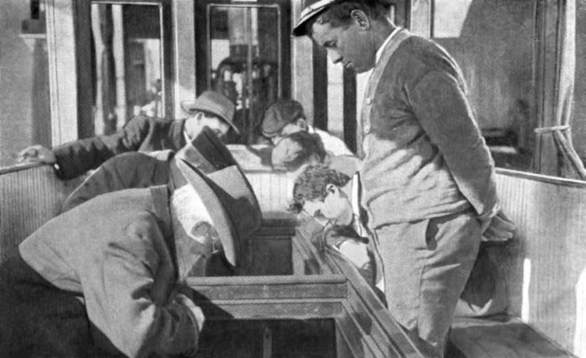 |
|
| (ca. 1930)* – Passengers lean over the glass viewing panels built into the hull of a glass bottom boat while observing Catalina Island’s marine gardens beneath the waters of Avalon Bay. |
Historical Notes By the late 1920s and early 1930s, Catalina’s marine garden excursions had become highly refined tourist experiences. Larger vessels, improved narration, and carefully planned sightseeing routes allowed visitors to explore some of the island’s most scenic underwater environments. The term “marine gardens” became widely used in advertisements and promotional brochures describing the kelp forests and reef systems surrounding Lover’s Cove and Sugarloaf Point. Many visitors described the experience of looking through the glass panels as unforgettable. For people who had never seen beneath the ocean’s surface, the sight of colorful fish moving silently through the kelp below the boat created a sense of wonder unlike anything available on the mainland. The excursions helped shape Catalina’s reputation as both a resort destination and a place uniquely connected to the natural beauty of the Pacific Ocean. |
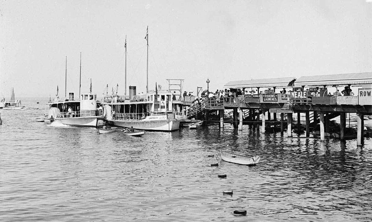 |
|
| (ca. 1910)* - The glass bottom side-wheelers Cleopatra and Empress docked side by side at the Avalon pier. Both vessels were operated by the Meteor Boat Company and formed the core of Catalina’s growing marine excursion fleet during the early twentieth century. |
Historical Notes The Cleopatra, launched in 1903, represented a significant expansion of Catalina’s marine excursion industry. Designed to carry substantially more passengers than the earlier rowboat-style vessels, the boat helped meet the rapidly growing demand created by Southern California’s booming tourism market. When the much larger Empress joined the fleet only a few years later, the Meteor Boat Company gained the ability to transport large numbers of visitors through Avalon’s marine gardens during even the busiest summer seasons. Photographs such as this became common in Catalina advertising during the 1900s and 1910s as glass bottom boats evolved into symbols of Avalon itself. Alongside steamships, pleasure craft, bathhouses, and seaside hotels, the vessels helped create the lively harbor atmosphere that defined Catalina’s early resort era and established the island as one of Southern California’s most distinctive tourist destinations. |
* * * * * |
Avalon Harbor Comes of Age |
By 1910, the rough harbor settlement that George Shatto had established along the shoreline two decades earlier bore little resemblance to what visitors found when their steamship rounded Sugarloaf Point and entered Avalon Bay. Under the management of the Banning brothers, Avalon had grown from a seasonal tent community into a functioning resort town with graded streets, water service, electric lights, multiple piers, and a commercial district stretching along Crescent Avenue from the Hotel Metropole in both directions. The harbor itself had become one of the busiest recreational anchorages in Southern California, filled on summer days with steamships, sailing vessels, fishing launches, glass bottom boats, and rented rowboats exploring the cove.The panoramic photographs and postcard views from this period capture Avalon at the height of its early resort years and on the threshold of an even larger transformation. Holly Hill House still overlooks the bay much as it had since 1890. Sugarloaf Point continues to anchor the northern edge of the harbor, years before its removal. The hotels, bathhouses, excursion offices, and waterfront promenades lining Crescent Avenue reflect nearly three decades of steady resort development built around the growing flow of steamship passengers arriving from Los Angeles and Long Beach.These images also preserve the final chapter of pre-Wrigley Avalon. In 1915, a devastating fire destroyed the Hotel Metropole and much of the waterfront district, overwhelming the town’s small volunteer fire department and forcing a reconstruction effort the Banning family could not financially sustain. Four years later, William Wrigley Jr. acquired controlling interest in Catalina Island and began reshaping Avalon through expanded steamship service, new infrastructure, and eventually the construction of the Catalina Casino. The harbor scenes shown here preserve a version of Avalon that existed only briefly and survives today largely through photographs such as these. |
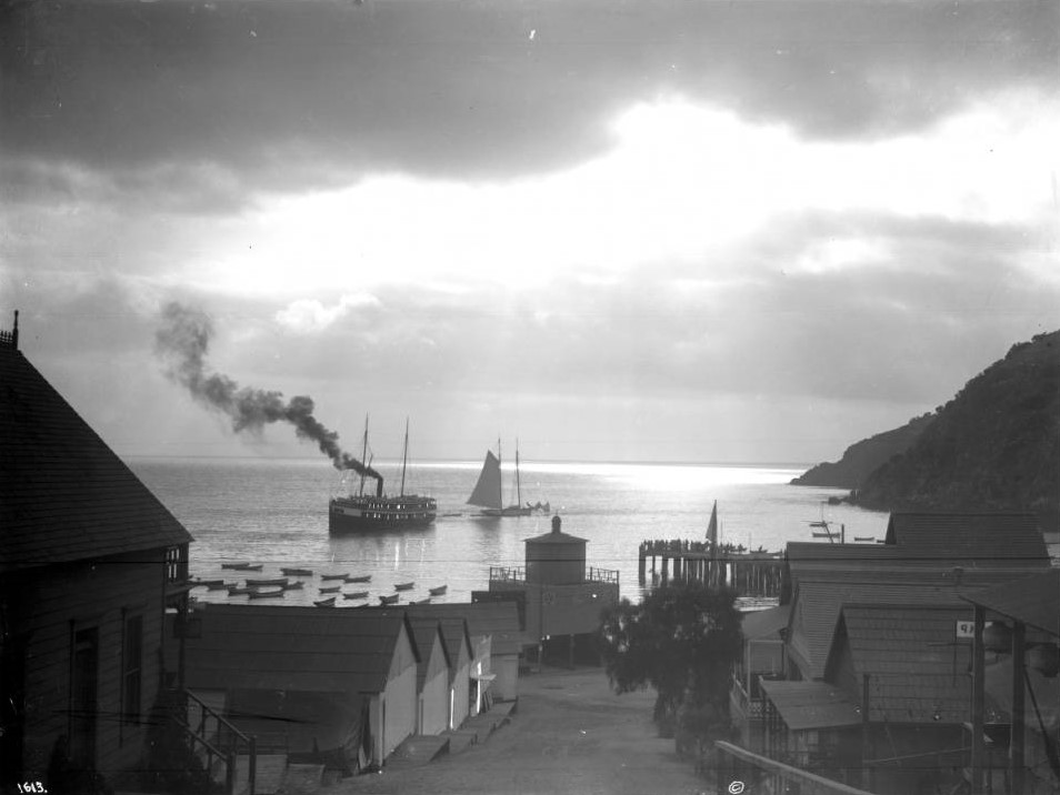 |
|
| (ca. 1910)* - Moonlight excursion on Avalon Harbor. A steamboat trailing smoke moves through the calm harbor while a sailboat passes nearby and small boats rest at their moorings to the left. A street slopes down toward the water between rows of homes and buildings, and a wooden pier extends over the cove at right. The dark cliff walls of the island rise against the night sky in the far background. |
Historical Notes Evening excursions on Avalon Harbor became a popular feature of summer life during Catalina’s early resort years. Visitors who spent the day fishing, swimming, or exploring the island gathered along the waterfront after sunset for lantern-lit boat rides, harbor tours, and social gatherings that continued late into the evening. Harbor illuminations featuring electric lights on excursion boats and waterfront buildings became regular seasonal attractions by the early 1900s. The street descending toward the harbor reflects Avalon’s compact geography, where nearly everything in town remained within walking distance of the waterfront. By 1910, Crescent Avenue and the surrounding streets had been graded, lined with young trees, and developed with hotels, boarding houses, restaurants, shops, and excursion offices. The harbor visible here, busy even at night, captures Avalon only a few years before the 1915 fire permanently altered much of the waterfront district. |
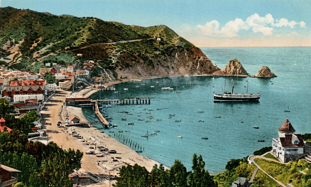 |
|
| (ca. 1910)* - Postcard view of Avalon Bay with a steamship approaching the Avalon pier. Sugarloaf Point, later known as Casino Point after the Catalina Casino was constructed in 1929, rises prominently behind the vessel. Dozens of small boats rest in the calm harbor waters in the foreground. |
Historical Notes For countless visitors, the first view of Avalon Harbor came from the deck of an approaching steamship. The sight of Sugarloaf Point rising beside the harbor entrance became one of Catalina’s defining images during the early twentieth century and appeared repeatedly in postcards, advertising art, and travel literature promoting the island throughout Southern California. Sugarloaf Point remained one of the most recognizable natural landmarks along the Southern California coast during the early resort era. The twin rock formations visible here were dynamited in stages beginning in 1917, first to make way for the Sugarloaf Casino dance hall and later for the much larger Catalina Casino completed in 1929. One of Avalon’s most familiar natural landmarks disappeared as the island entered the Wrigley era. |
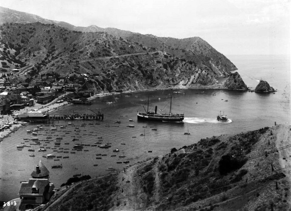 |
|
| (ca. 1910)* - Panoramic view of Avalon Harbor from the hillside above, showing a steamboat approaching the pier while a smaller craft crosses its wake. Dozens of vessels dot the harbor below. Holly Hill House is visible on the slope at left while Sugarloaf Point anchors the background beyond the waterfront district. |
Historical Notes Panoramic views taken from the hills above Avalon Harbor became among the most widely reproduced Catalina images during the early twentieth century. This elevated perspective reveals the remarkable growth of Avalon by 1910: a harbor crowded with vessels, a dense waterfront lined with hotels and commercial buildings, and surrounding mountains that remained largely undeveloped beyond the town itself. The arrival of a steamship shaped the daily rhythm of life in Avalon. Businesses along Crescent Avenue prepared for the influx of visitors that each vessel brought to the island. Even from a distance, the busy harbor reflects more than two decades of investment in Catalina’s tourism infrastructure and the growing popularity of Avalon as a Southern California resort destination. |
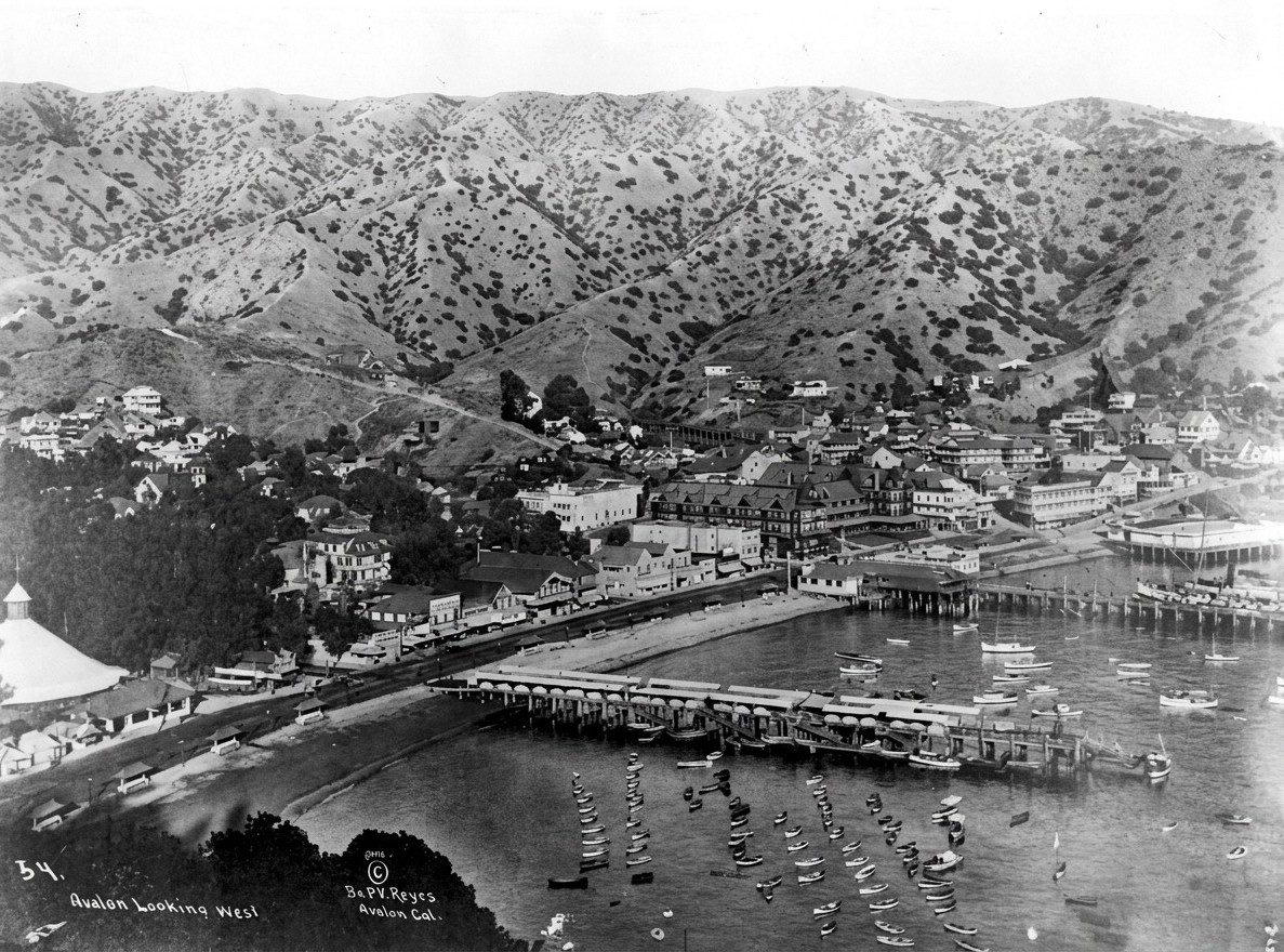 |
|
| (1911)* - Panoramic view of Avalon Bay and the town of Avalon showing a second pier newly constructed in the foreground to accommodate continued growth in visitor traffic. The main steamer wharf and the buildings of Crescent Avenue are visible across the harbor with the surrounding mountains rising behind the town. |
Historical Notes The construction of a second pier by 1911 reflected the continuing growth of Catalina tourism during the years preceding World War I. Increasing steamship traffic and expanding excursion services required additional docking facilities beyond the original steamer wharf that had served Avalon since the Shatto era. By this period, Avalon had matured into a far more organized and permanent community than the seasonal tent settlement of earlier decades. Hotels, boarding houses, restaurants, excursion companies, and waterfront businesses all depended upon the steady stream of visitors arriving daily from the mainland. The expanded harbor visible here reflects the growing confidence and economic success of Avalon during its peak pre-Wrigley years. |
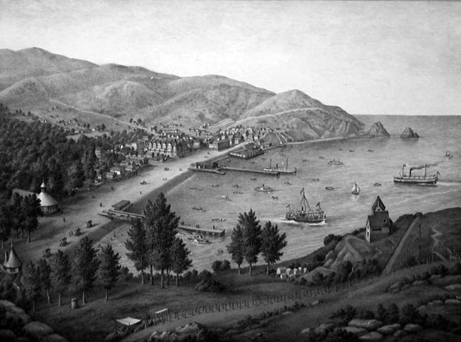 |
|
| (ca. 1911)* – Photograph of a lithograph drawing showing an elevated view of Avalon from the hills above the harbor. Piers, boats, horseback riders, beach activity, and the growing town spread outward from the waterfront into the surrounding mountains. |
Historical Notes Illustrated lithographs and panoramic drawings played an important role in promoting Catalina Island during the early twentieth century. Unlike photographs, artists could idealize the scenery and emphasize the dramatic relationship between Avalon Harbor and the surrounding mountains, presenting the island in its most picturesque form. The horseback riders visible along the shoreline reflect another aspect of Catalina tourism heavily promoted during this period. Horses were available for hire both for rides along the waterfront and for excursions into the island’s rugged interior along the Stage Roads constructed by the Banning brothers. The combination of ocean recreation, resort amenities, and access to undeveloped wilderness made Catalina unlike any other Southern California destination of its era. |
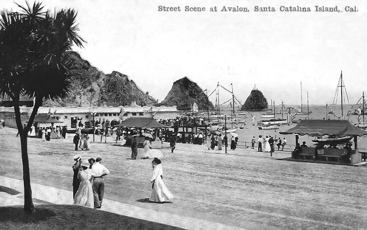 |
|
| (1912)* - Postcard view showing tourists enjoying a sunny day along the shore of Avalon Bay with Sugarloaf Point rising prominently in the background across the harbor. |
Historical Notes By 1912, Avalon’s waterfront had developed into one of the liveliest resort promenades in Southern California. Visitors strolled the shoreline past excursion offices, boat rentals, bait shops, and bathhouse facilities while steamships, fishing launches, and glass bottom boats moved constantly through the harbor behind them. Postcards such as this played a major role in spreading Catalina’s national reputation. Millions of cards featuring Avalon Harbor, Sugarloaf Point, Tent City, and the island’s excursion boats were mailed throughout the country during the early twentieth century. Within only a few years of this photograph, the 1915 fire would dramatically alter much of the waterfront visible behind these tourists. |
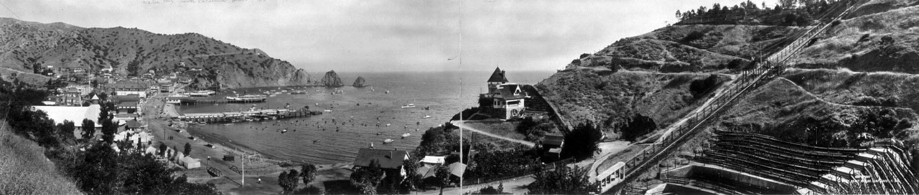 |
|
| (ca. 1914)* – Panoramic view of Avalon Bay with Sugarloaf Point in the distance. Visible at right are Holly Hill House, the tracks of the Santa Catalina Island Incline Railway descending the hillside, and the wooden bleachers of Avalon Bowl overlooking the harbor. |
Historical Notes This 1914 panorama captures Avalon on the eve of its most dramatic transformation. The Incline Railway, visible descending the hillside above the harbor, opened in 1905 and carried passengers from Avalon to summit overlooks and onward toward Lover’s Cove and the island’s marine attractions. Avalon Bowl, whose bleachers appear at right, hosted concerts, performances, and public events overlooking the harbor below. The scene also marks the final full expression of the Banning brothers’ vision for Catalina Island. Only a few years after this photograph was taken, William Wrigley Jr. would acquire controlling interest in the island and begin reshaping Avalon through expanded infrastructure, new steamships, the Chicago Cubs spring training program, and eventually the construction of the Catalina Casino. This panorama preserves Avalon at the exact moment between those two defining eras. |
* * * * * |
The Aquarium, the Wharf, and Avalon’s Waterfront |
For many visitors arriving at Catalina by steamship, the first major attraction they encountered after stepping off the gangway was Avalon’s aquarium. Located at the Crescent Avenue end of the main pier, the aquarium introduced arriving tourists to the marine life surrounding Catalina through tanks filled with local fish, sea anemones, octopuses, and other sea creatures collected from the nearby waters.The aquarium and wharf together formed the center of Avalon's daily visitor activity. Steamships regularly discharged hundreds of passengers at a time who moved through the ticket office, past the aquarium, and into Crescent Avenue's growing commercial district. At that ticket office, a visitor could book a glass-bottom boat tour, a stagecoach ride into the island's interior, a fishing launch, or a seat on the incline railway — the full range of Catalina experiences beginning at a single counter steps from the gangway.Although modest by modern standards, the aquarium became one of Avalon’s most popular early attractions and reinforced Catalina’s growing identity as a destination connected to the marine world. Combined with glass bottom boat excursions and marine garden tours, it offered many visitors their first close-up view of Pacific Ocean sea life. |
 |
|
| (ca. 1910)* - View of the wharf, aquarium, and ticket office at Avalon Harbor as visitors queue along the pier while a steamship prepares to dock nearby. |
Historical Notes The aquarium occupied a rectangular building near the shore end of Avalon’s main pier where arriving passengers could easily visit immediately after stepping off the steamship. The Banning brothers developed the aquarium as part of a broader effort to expand Catalina’s attractions beyond fishing, boating, and beach recreation. Glass tanks displayed fish, sea stars, sea anemones, octopuses, and other marine life collected from the surrounding waters. The nearby ticket office handled the steady flow of visitors arriving for glass bottom boat excursions, stagecoach rides, fishing trips, incline railway rides, and other organized activities. During the busy summer season, long lines such as these became a familiar sight along Avalon’s waterfront. |
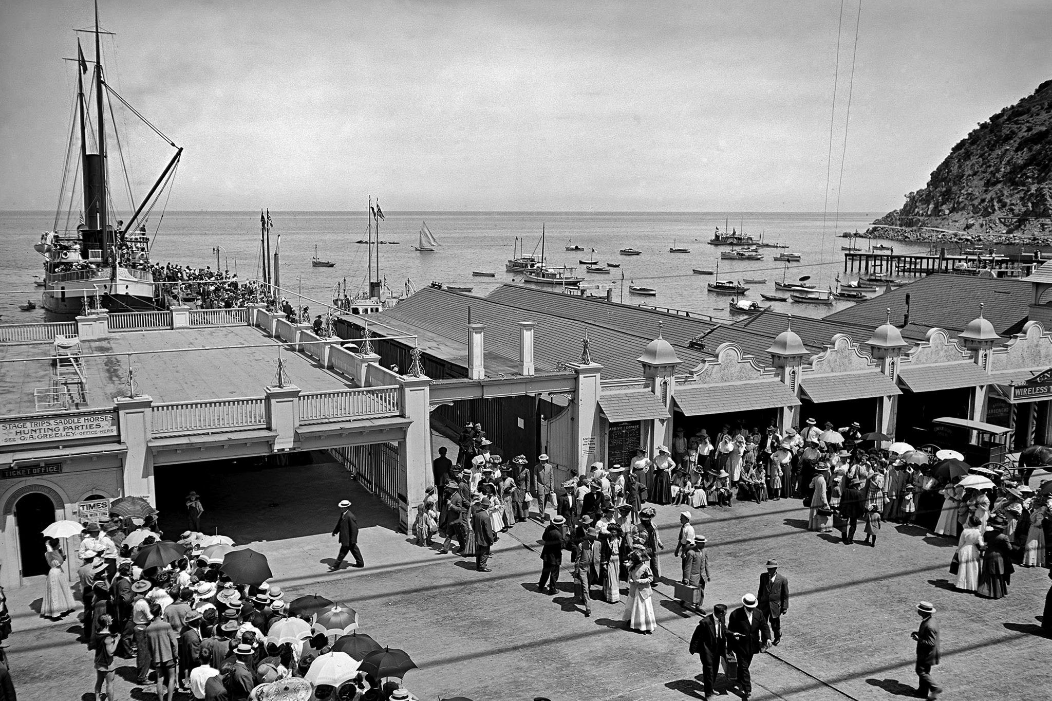 |
|
| (ca. 1910)* - Visitors queue at the ticket office on Avalon’s pier while passengers disembark from a docked steamship in the background. |
Historical Notes Scenes like this reflected the logistical reality of a resort community entirely dependent upon steamship transportation. A single arriving vessel could discharge hundreds of passengers into Avalon Harbor within a short period of time, creating constant activity along the piers and waterfront district during the summer season. Steamship arrivals also shaped the rhythm of commercial life throughout Avalon. Hotels, restaurants, excursion operators, and shops all depended upon the daily arrival of mainland visitors. The harbor visible in these images functioned not only as Avalon’s transportation center but also as the economic engine that sustained the town itself. |
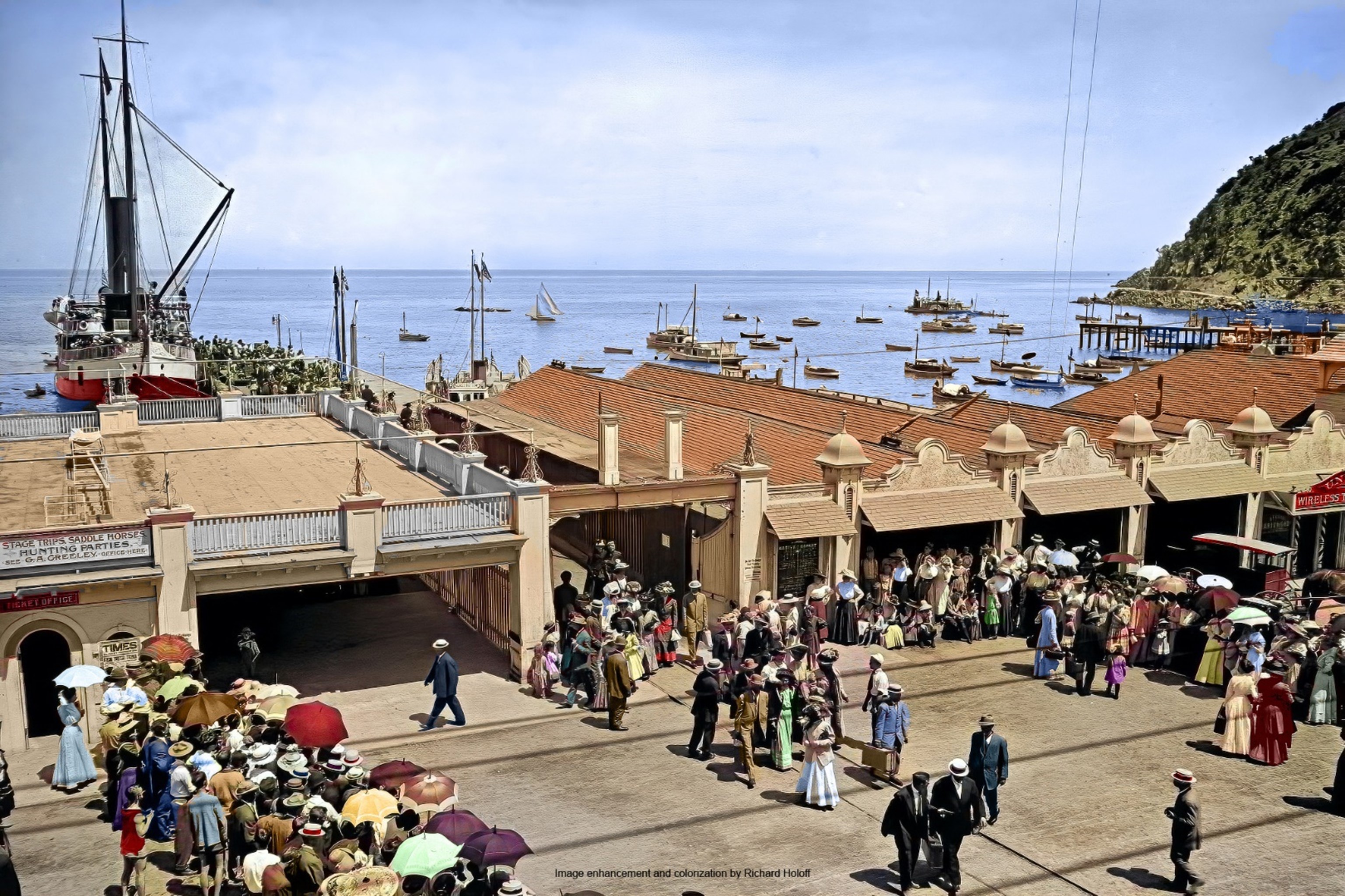 |
|
| (ca. 1910)* - Colorized view of visitors queuing at Avalon’s ticket office while passengers disembark from a steamship along the waterfront pier. Image enhancement and colorization by Richard Holoff. |
Historical Notes This colorized image provides a vivid interpretation of Avalon’s waterfront activity during the early twentieth century. The clothing of the visitors, the painted wood structures, and the harbor scenery help modern viewers better visualize the atmosphere surrounding the busy pier district during the island’s tourism boom years. The people gathered here represent the growing Southern California middle class that Catalina successfully attracted during the early resort era. Families, couples, and excursion groups arrived daily from Los Angeles and Long Beach seeking recreation, scenery, and a temporary escape from mainland city life. |
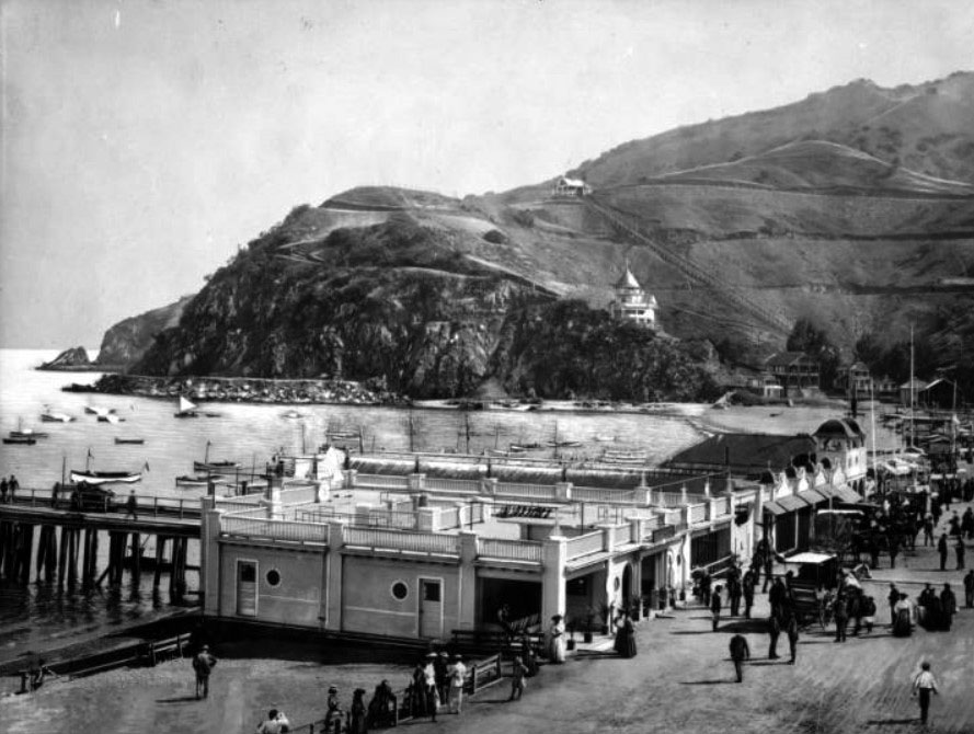 |
|
| (ca. 1910)* – View looking south showing the aquarium and other buildings around the harbor in Avalon. The aquarium is housed in a low, rectangular building in the foreground at center. Several more buildings are attached at right. The street is filled with tourists. In the background, two large houses can be seen perched on the side of a steep hill, one of which is the 1890-built Holly Hill House. |
Historical Notes The aquarium building visible here reflected the practical and modest architecture common along Avalon’s early waterfront. Positioned near the foot of the pier where visitor traffic remained heaviest, the facility served both as an educational exhibit and as a gathering point where arriving tourists first oriented themselves to the island. Holly Hill House, visible high on the hillside above the harbor, had already overlooked Avalon for two decades by the time this photograph was taken. The contrast between the crowded waterfront below and the quiet hillside residences above illustrates how Avalon gradually expanded upward from the harbor as the resort community continued to grow during the early twentieth century. |
* * * * * |
Wrigley Residence on Mt. Ada |
When William Wrigley Jr. acquired controlling interest in Santa Catalina Island in 1919, he immediately began transforming Avalon into one of the premier resort destinations on the Pacific Coast. One of his first major projects was the construction of a hilltop residence overlooking Avalon Bay from the summit of Mt. Ada, 350 feet above the sea. The site offered sweeping views of the harbor, the surrounding hillsides, and the open channel beyond, while also receiving the first sunlight of the morning and the last light of the evening.Designed in the Georgian Colonial Revival style by Chicago architect Zachary Taylor Davis, the residence was constructed between 1919 and 1921 under the supervision of David M. Renton, Wrigley’s trusted general manager for the Santa Catalina Island Company. The L shaped structure wrapped around a formal motor court on the mountain side and featured expansive terraces, grand stairways, and numerous rooms designed for both family life and large scale entertaining. Much of the construction material had to be shipped by sea from the mainland, making the project one of the most ambitious private residential developments in Catalina’s early history.The photographs in this section document the Wrigley residence through several decades, from its construction period through the height of the Wrigley era and later preservation efforts. More than simply a private home, the residence became closely associated with Catalina’s transformation during the 1920s. From this hilltop setting, Wrigley oversaw many of the projects that helped shape modern Avalon, including the development of the Catalina Casino, the Wrigley Memorial, island infrastructure improvements, and the continued expansion of Catalina as an internationally known resort destination. Today the property operates as the Inn on Mt. Ada and remains one of the island’s most recognizable historic landmarks. |
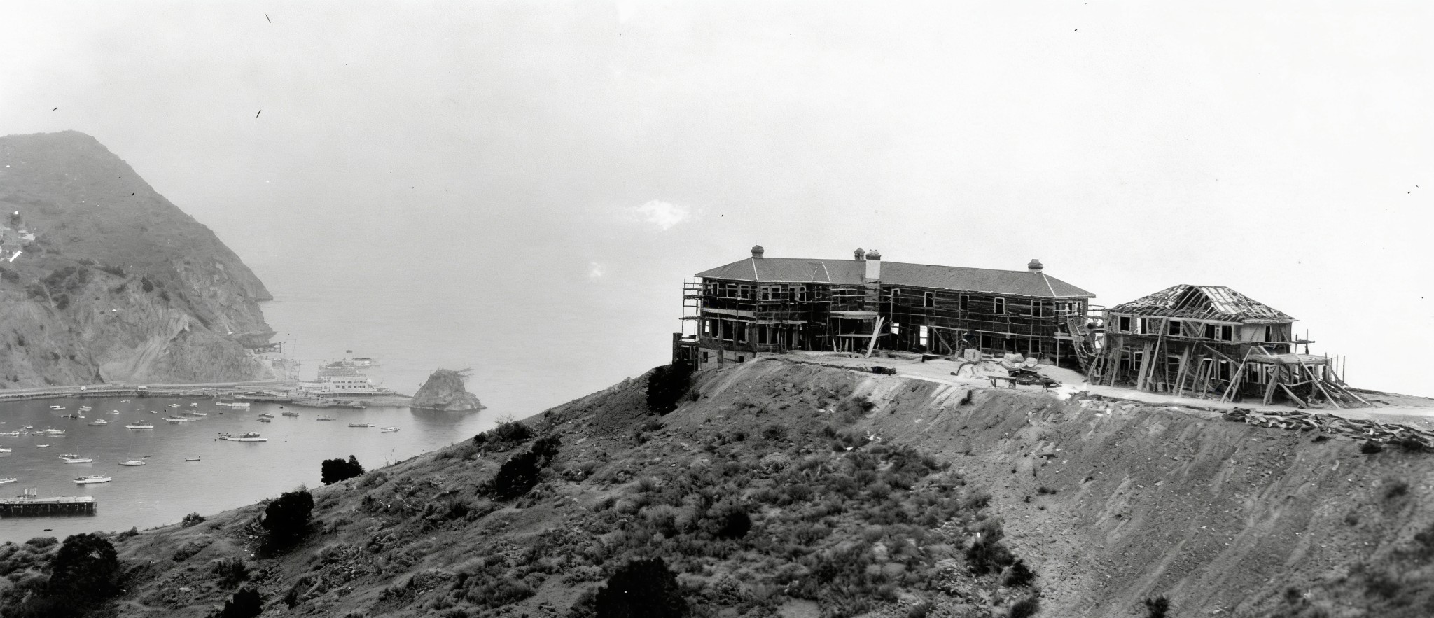 |
|
| (1919)* – The Wrigley residence under construction on the summit of Mt. Ada, overlooking Avalon Bay. Sugarloaf Point and the Sugarloaf Casino, built on the site where “Big” Sugarloaf Rock once stood, are visible in the distance. |
Historical Notes Construction of the Wrigley residence began in 1919, the same year William Wrigley Jr. purchased controlling interest in Santa Catalina Island. The summit site was selected for its panoramic views of Avalon Bay and the surrounding coastline, as well as its unique exposure to both the morning and evening sunlight. At the time this photograph was taken, the overall form of the residence had begun to emerge, though construction would continue for nearly two more years. Visible in the distance is the Sugarloaf Casino, the island’s principal entertainment venue during the early 1920s. It occupied the rocky peninsula where the original “Big” Sugarloaf formation had once stood before being blasted away to improve access around the harbor. The Casino itself would later be demolished in 1929 to make way for the much larger Catalina Casino that still dominates Avalon today. This photograph captures Catalina during a transitional moment, when older island landmarks still remained while the foundations of the Wrigley era were rapidly taking shape above Avalon Bay. |
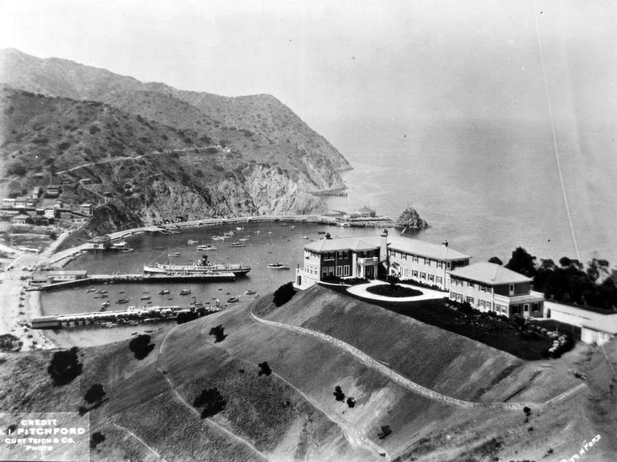 |
|
| (ca. 1922)* - Aerial view of Avalon Bay with the newly completed Wrigley residence on Mt. Ada in the foreground at right. The harbor is busy with a large steamship at the dock and smaller boats moored throughout. “Little” Sugarloaf Rock and the Sugarloaf Casino are visible at center background. |
Historical Notes The Wrigley residence was designed by architect Zachary Taylor Davis in the Georgian Colonial Revival style and completed in 1921. Davis was already widely known for designing Chicago’s Wrigley Field, linking two of the most recognized properties associated with the Wrigley family. Construction on Catalina was supervised by David M. Renton, who had been recruited by Wrigley to serve as general manager of the Santa Catalina Island Company shortly after the island purchase. Renton played an important role in Catalina’s early twentieth century development. Prior to arriving on the island, he had worked on numerous residential and construction projects in Pasadena and had experience associated with prominent Craftsman era builders and architects. On Catalina, his responsibilities extended well beyond the Wrigley residence and included oversight of major projects such as the Catalina Casino Ballroom, the Wrigley Memorial, Catalina Pottery facilities, roads, utilities, and other civic infrastructure improvements that helped modernize Avalon during the 1920s. |
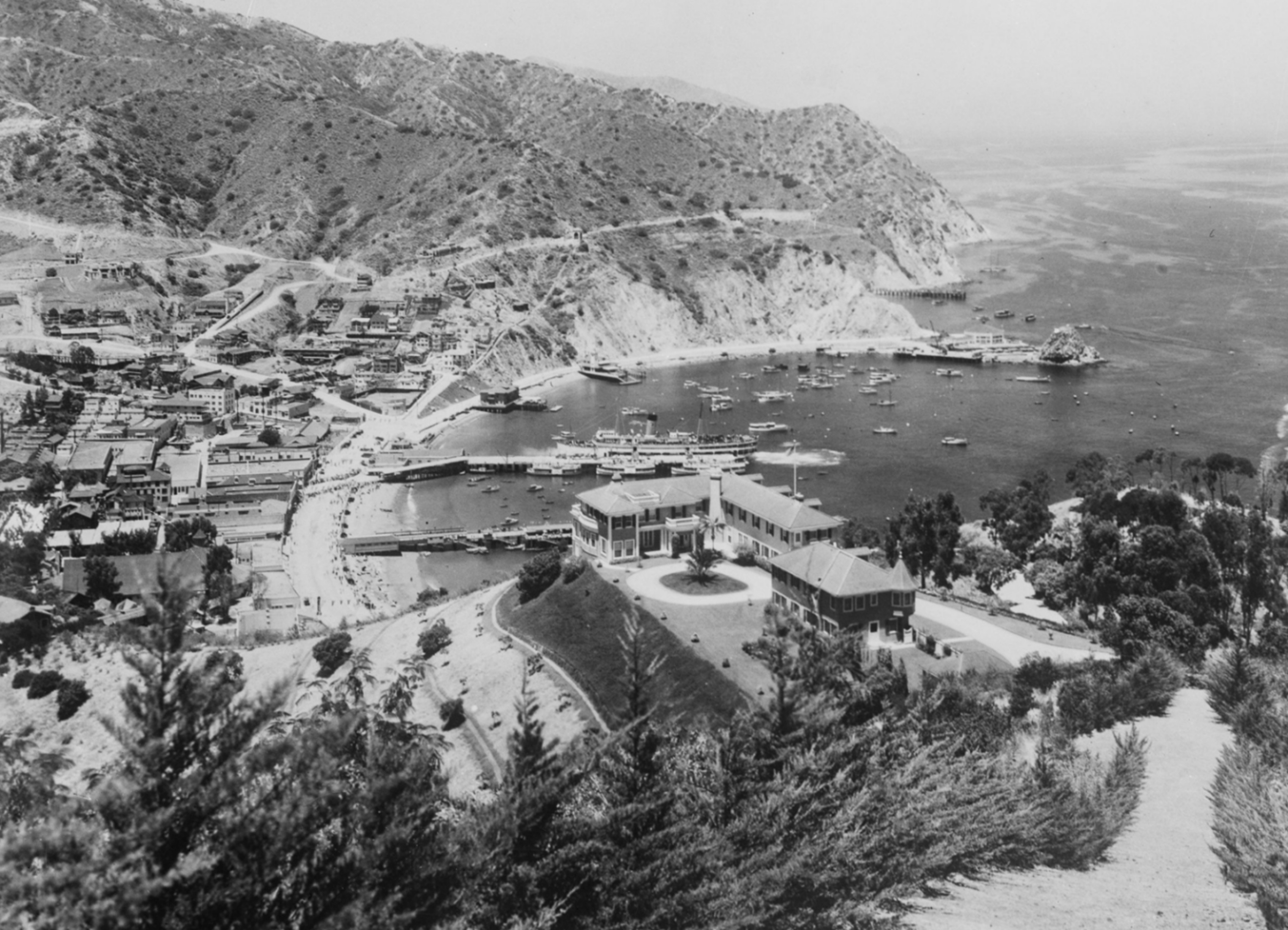 |
|
| (1920s)* – Panoramic view of Avalon Bay from above Mt. Ada, the hilltop residence of William Wrigley Jr. The mansion’s motor court and grounds are visible in the foreground while steamships, piers, and pleasure boats fill the busy waterfront below. Sugarloaf Rock and the Sugarloaf Casino appear at far right. |
Historical Notes The residence reflected Ada Wrigley’s preferences for a large yet elegant island retreat. Original plans called for dark green shutters, a Turkish bath, billiard room, organ chamber, wraparound terraces, and multiple guest rooms suitable for entertaining prominent visitors. Although portions of the original design were later modified during construction, the completed residence retained its expansive L shaped footprint, formal motor court, and sweeping ocean facing terraces. The panoramic perspective seen here helps explain why Wrigley selected this particular summit for the family residence. Nearly the entire harbor, the town of Avalon, and the open Pacific beyond could be viewed from the property. During Chicago Cubs spring training seasons on Catalina, Wrigley reportedly watched workouts from the hilltop and occasionally required players to climb the long staircase leading to the residence as part of their conditioning. The hilltop residence also served as an important center for Wrigley’s oversight of many Catalina development projects during the 1920s. |
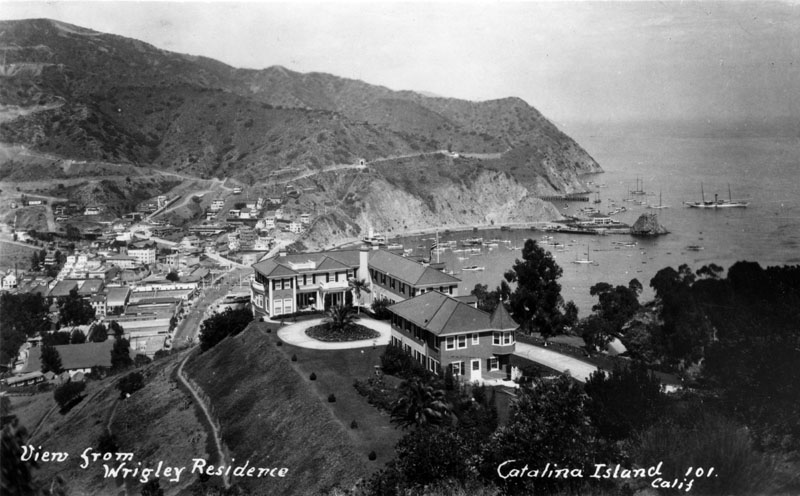 |
|
| (1920s)* - View of the two story, L shaped Wrigley residence atop Mt. Ada overlooking Avalon and the harbor below. The Sugarloaf Casino and small pleasure boats are visible along the shoreline at right. |
Historical Notes Standing approximately 350 feet above the sea, the residence provided expansive views across Avalon Bay and, on especially clear days, toward the Southern California mainland. The Wrigleys generally made extended visits to Catalina twice each year, often remaining on the island for several weeks at a time during both summer and winter seasons. During these stays, the residence became an important social and civic center within Avalon. Among the distinguished visitors received at Mt. Ada were Herbert Hoover, Calvin Coolidge, and Edward, Prince of Wales, later King Edward VIII. The guest suite associated with the Prince eventually became known as the Windsor Room and remains one of the best known accommodations at the Inn on Mt. Ada today. The steady flow of prominent guests reflected both Wrigley’s national stature and Catalina’s growing reputation during the 1920s as one of Southern California’s premier resort destinations. |
.jpg) |
|
| (n.d.)* - View of the stairway leading to the Wrigley residence atop Mt. Ada, named after Ada Elizabeth Wrigley. The sprawling residence features numerous windows, dormers, balconies, and terraced landscaping overlooking Avalon Bay. |
Historical Notes The long staircase leading to the residence became one of the defining features of the Mt. Ada property. More than 100 steps connected the lower portion of the hill with the ocean facing terraces above, creating a dramatic approach to the residence from Avalon below. The estate itself featured two principal entrances: the formal motor court on the hillside and the grand staircase rising toward the residence from the harbor side. Ada Wrigley took a strong interest in the landscaping surrounding the property, which incorporated succulents, cacti, and other plants well suited to Catalina’s dry coastal environment. The mountain itself was named Mt. Ada in her honor. After William Wrigley Jr.’s death in 1932, Ada continued visiting the residence regularly until suffering a stroke in the late 1940s. She died in 1958, remaining closely associated with Catalina and the hilltop residence for nearly four decades. |
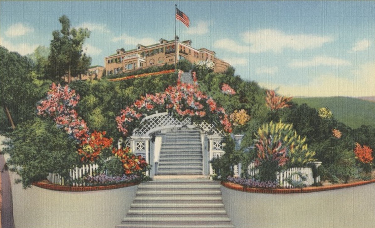 |
|
| (1940)* - Postcard view of the Wrigley residence on Mt. Ada overlooking Avalon Bay. Designed by architect Zachary Taylor Davis and constructed under the supervision of David M. Renton, the residence was completed in 1921. |
Historical Notes Postcards featuring the Wrigley residence became widely distributed throughout the 1920s and 1930s, helping establish the hilltop mansion as one of Catalina’s most recognizable landmarks. Visible from arriving steamships and much of Avalon below, the silhouette of Mt. Ada became closely associated with the Wrigley era on Catalina Island. Numerous postcard publishers issued their own versions of the view, many of which survive today in historical collections and archives. Following William Wrigley Jr.’s death in 1932, the property continued under the management of the Santa Catalina Island Company and was occasionally used for meetings and special events. In later years the residence was donated to the University of Southern California for educational use before being restored and reopened in 1985 as the Inn on Mt. Ada. That same year the property was placed on the National Register of Historic Places. Today the residence remains one of Avalon’s best preserved and most historically significant landmarks. |
* * * * * |
Chicago Cubs Spring Training Comes to Catalina |
When William Wrigley Jr. purchased Santa Catalina Island in 1919, he already held controlling interest in the Chicago Cubs. The two investments came together in 1921 when Wrigley brought the Cubs to Catalina for spring training, making him the first baseball owner to regularly bring a major league club to the West Coast for that purpose. Decades before Major League Baseball expanded into California, Catalina Island introduced professional baseball to the Pacific Coast in a way no other resort destination could match.Each spring, the Cubs arrived aboard steamships from Los Angeles and were greeted by crowds, parades through Avalon, and widespread newspaper coverage. Players stayed at the elegant Hotel St. Catherine in Descanso Bay, practiced in Avalon Canyon beneath Mt. Ada, and became familiar figures throughout the island’s restaurants, shops, and waterfront. Over the next three decades, the Cubs’ annual presence became one of Catalina’s most anticipated traditions and helped establish Avalon as one of the country’s most unusual and picturesque spring training destinations.The Cubs trained on Catalina from 1921 through 1951, except during the war years of 1942 to 1945 when the island came under military control. During that period, nineteen Hall of Fame players passed through the Catalina training facility, including Rogers Hornsby, Dizzy Dean, Grover Cleveland Alexander, Gabby Hartnett, Joe McCarthy, and Hack Wilson. Wrigley himself was often present during workouts and reportedly watched practices from the hilltop terraces of Mt. Ada overlooking Avalon Canyon below. |
The Cubs Arrive at Catalina |
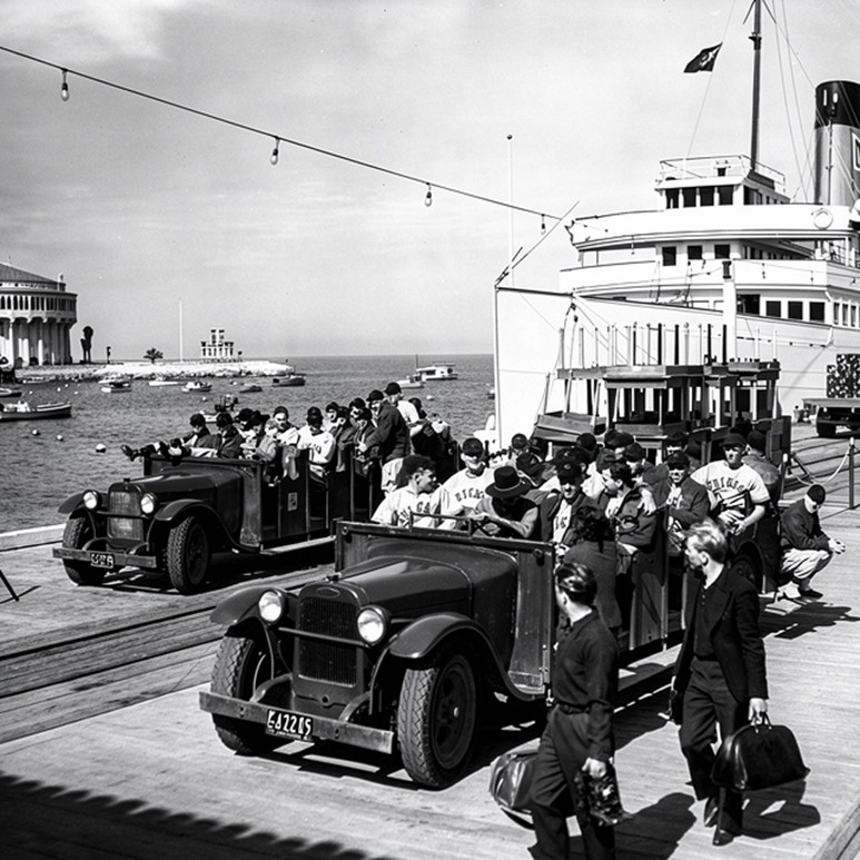 |
|
| (1937)* – Chicago Cubs players arrive at Santa Catalina Island for spring training. Two open air buses stand ready to transport the team through Avalon to the practice field in Avalon Canyon. |
Historical Notes By 1937, the annual arrival of the Chicago Cubs had already become a Catalina Island institution. The team typically crossed the channel aboard the S.S. Catalina, the famed “Great White Steamer” that served as the island’s principal passenger vessel for decades. Upon arrival, players were greeted by local officials, fans, reporters, and the buses waiting at the waterfront to transport them to the training grounds. The Cubs’ yearly arrival brought national sports attention to Avalon for several weeks each spring. The 1937 Cubs roster included future Hall of Famers Gabby Hartnett and Billy Herman, while longtime Cubs figure Charlie Grimm served as manager. Hartnett had participated in Catalina spring training seasons since the early 1920s and later guided the Cubs to the National League pennant in 1938 after replacing Grimm as manager during the season. That championship team was shaped in part by years of spring workouts conducted on Catalina’s hillsides and training fields. |
Baseball and Resort Life on Catalina |
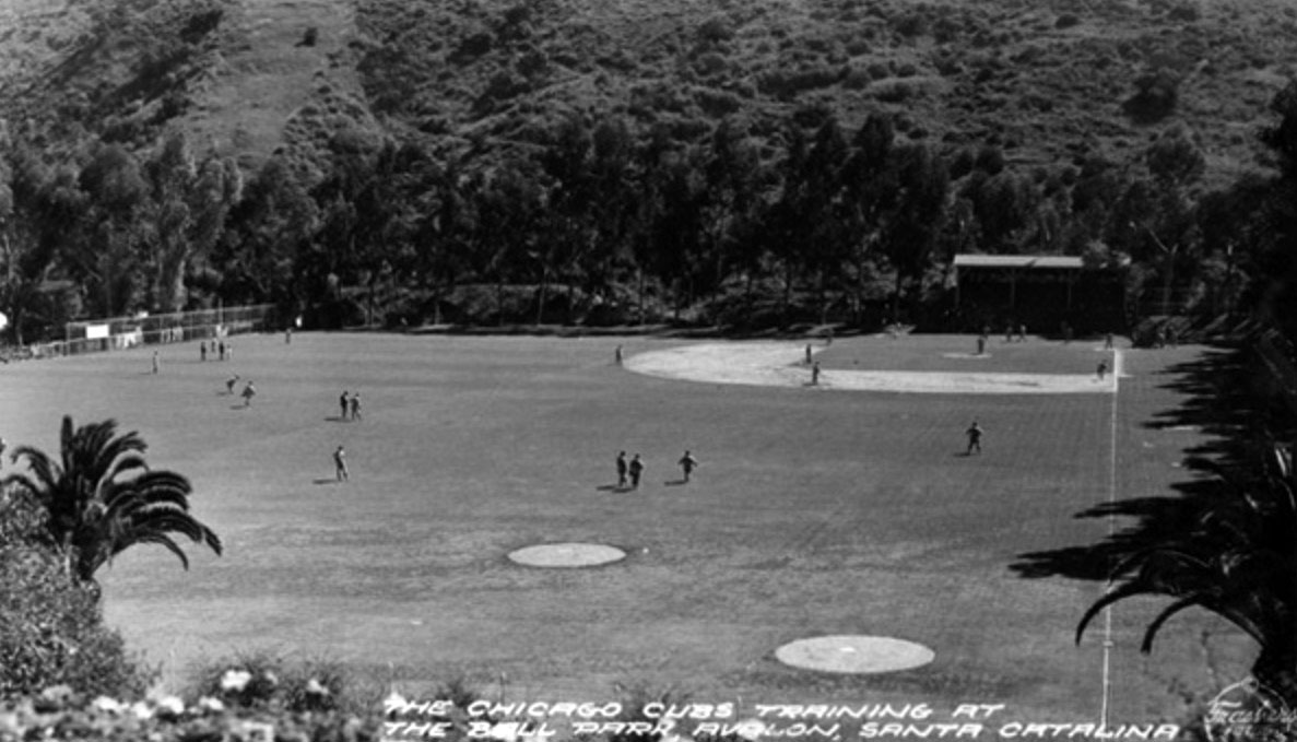 |
|
| (1940)* - Postcard view showing the Chicago Cubs baseball team training at the Ball Park also called Wrigley Field in Avalon, Santa Catalina. |
Historical Notes By 1940, Cubs spring training on Catalina had become one of the island’s defining annual events. Postcard publishers regularly produced images of the team at practice, while visitors crowded Avalon Canyon to watch workouts and exhibition games. The combination of professional baseball, ocean scenery, and resort life created an atmosphere unlike any other spring training destination in the United States. The Cubs continued training on Catalina through 1951, except during World War II when military restrictions temporarily halted operations on the island. After the war, the team returned for five additional seasons before Philip K. Wrigley decided to move spring training operations to Mesa, Arizona. A combination of changing travel logistics, newer facilities, and several seasons of poor weather on Catalina contributed to the decision. The Catalina ballpark was demolished in 1966, though the former clubhouse building and a commemorative plaque still remain today. |
* * * * * |
Catalina’s Wrigley Field |
The Chicago Cubs initially trained at Avalon Ball Park after arriving on Catalina in 1921, but the field soon became informally known as Wrigley Field because of the Wrigley family’s close association with both the Cubs and Santa Catalina Island. Located in Avalon Canyon just beyond the main waterfront district, the facility became one of the most picturesque spring training sites in professional baseball.William Wrigley Jr. designed the Catalina practice field to closely replicate the dimensions of the Cubs’ Chicago ballpark. The canyon setting provided natural wind protection from surrounding hillsides and eucalyptus groves, while the nearby clubhouse overlooking the field became the center of the Cubs’ spring operations for more than thirty years. Long before Chicago’s famous ballpark officially adopted the name, players, fans, and sportswriters were already referring to Catalina’s field as “Wrigley Field.”Today, little remains of the original field itself. However, the site in Avalon Canyon continues to represent one of the most historically significant locations in the early development of professional baseball on the West Coast. |
Spring Training at Catalina’s Wrigley Field |
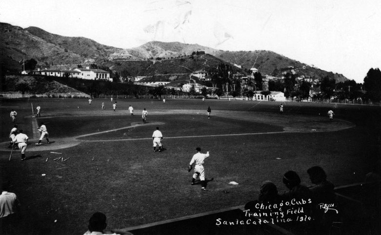 |
|
| (1920s)* - Spring training action at the Cubs’ practice facility on Catalina Island in Avalon Canyon. The field’s dimensions matched those of the Cubs’ Chicago ballpark, while the clubhouse on the hillside above served as the players’ locker room and training headquarters. |
Historical Notes The practice field built by William Wrigley Jr. in Avalon Canyon was designed to replicate the dimensions of the Cubs’ home field in Chicago. Eucalyptus trees surrounding the ballpark acted as natural windbreaks, while the clubhouse terraces overlooking the field provided ideal viewing locations for team officials and visitors. Wrigley himself frequently attended workouts, and the field quickly became a popular attraction for Avalon tourists hoping to watch major league players train in a uniquely scenic setting. The Catalina facility became informally known as Wrigley Field from the earliest years of Cubs training on the island. This usage actually preceded the official naming of Chicago’s Wrigley Field. The Los Angeles Wrigley Field, built in 1925 for the Pacific Coast League Los Angeles Angels, became the first ballpark to officially carry the Wrigley name, while Chicago’s Cubs Park was not formally renamed Wrigley Field until the mid 1920s. The existence of multiple Wrigley Fields reflected William Wrigley Jr.’s expanding influence in both baseball and Southern California during that era. |
Wrigley Field in Avalon Canyon
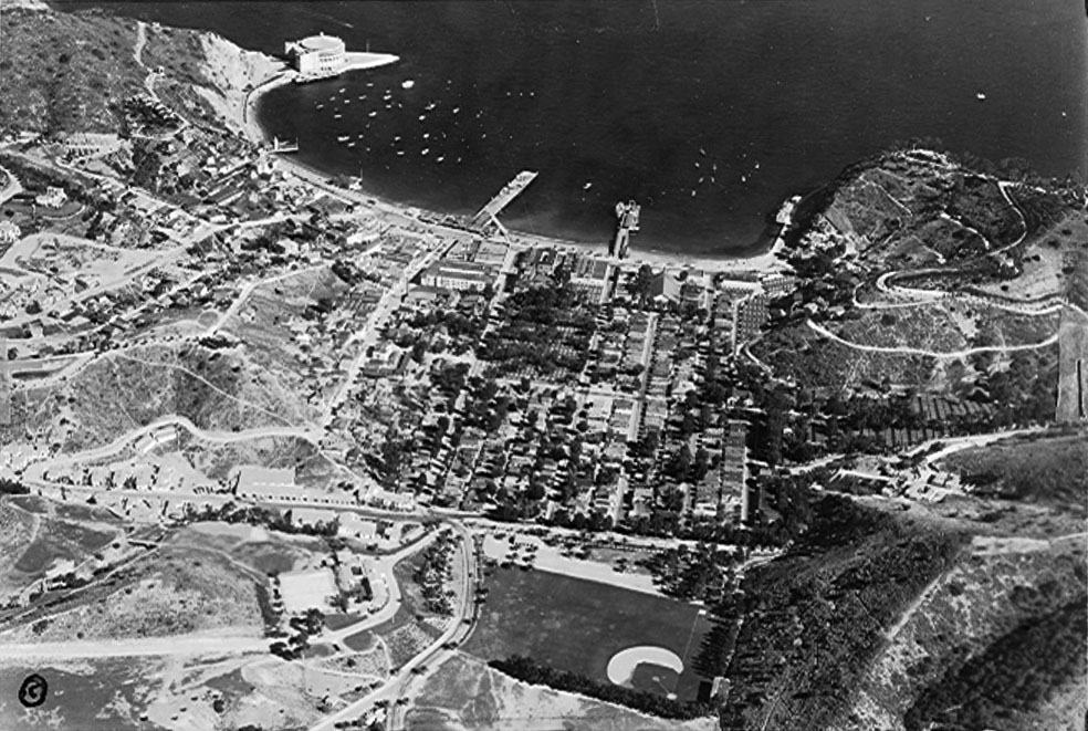 |
|
| (1930s)* – Aerial view of Avalon with the Chicago Cubs’ spring training facility, including Wrigley Field and the adjacent clubhouse, visible in Avalon Canyon in the foreground. |
Historical Notes This aerial photograph clearly shows the relationship between the Cubs’ training complex and the town of Avalon. The field occupied a transition zone between Avalon’s developed waterfront district and the rugged interior of Avalon Canyon beyond. The canyon location was carefully selected because surrounding hillsides and eucalyptus trees provided natural protection from coastal winds while also allowing extended hours of sunlight for daily workouts and practice sessions. The clubhouse visible above the field later became the Catalina Island Country Club and still survives today. Although the ballpark itself disappeared decades ago, the site remains closely associated with one of the most distinctive chapters in early West Coast baseball history. A plaque marking the location of Catalina’s Wrigley Field now stands on the grounds where generations of Chicago Cubs players once prepared for the upcoming baseball season. Coincidentally, the first officially named Wrigley Field, built by William Wrigley Jr. in 1925 for the Pacific Coast League Los Angeles Angels, was located on Avalon Boulevard in South Los Angeles several years before Chicago’s ballpark formally adopted the Wrigley Field name. Click HERE to see more in Baseball in Early L.A. |
* * * * * |
Avalon Bird Park |
During the late 1920s, William Wrigley Jr. expanded Catalina Island’s attractions far beyond Avalon’s beaches and waterfront. One of the most unusual and ambitious projects of the Wrigley era was Avalon Bird Park, a sprawling aviary constructed in Avalon Canyon that quickly became one of the island’s most popular visitor destinations. Combining exotic wildlife, landscaped grounds, and innovative architecture, the park reflected Wrigley’s broader vision of transforming Catalina into a carefully planned resort experience offering entertainment, recreation, and sightseeing for visitors of all ages.Construction of the Bird Park began around 1927 under the direction of William and Ada Wrigley, both enthusiastic bird lovers. Covering nearly eight acres at a reported cost of approximately $400,000, the attraction eventually housed close to 8,000 birds representing hundreds of species from around the world. At the center of the park stood a massive circular aviary approximately 90 feet high and 115 feet in diameter, constructed from the iron framework of Avalon’s earlier Sugarloaf Casino dance pavilion, which had been dismantled and relocated from the waterfront to make way for construction of the new Catalina Casino.Admission to the Bird Park was free, encouraging tourists arriving by steamship to explore areas of Avalon beyond the harborfront. Over the following decades, the attraction became closely associated with Catalina’s growing national popularity and frequently appeared in postcards, travel literature, and promotional photography featuring Chicago Cubs players during the team’s spring training years on the island. The park remained one of Avalon’s best known attractions for nearly four decades before closing in 1966. |
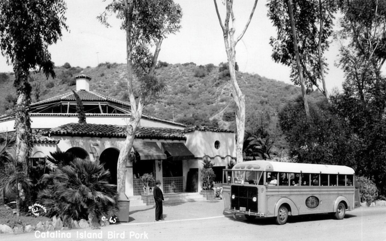 |
|
| (ca. 1930s)* - Sightseeing bus stopped in front of Avalon Bird Park in Avalon Canyon. |
Historical Notes This postcard view shows one of the open air sightseeing buses that transported visitors from Avalon’s waterfront into Avalon Canyon during the Bird Park’s peak years of popularity. The Moorish styled entrance pavilion visible here was decorated with colorful Catalina art tiles depicting exotic birds including macaws, toucans, and cranes, offering visitors an early glimpse into the attraction awaiting inside. Admission to the park was intentionally kept free as part of Wrigley’s broader strategy of encouraging tourists to experience more of Catalina Island beyond the harborfront district. Avalon Bird Park formally opened in 1929 after nearly two years of planning, construction, and bird acquisition efforts. Superintendent H. E. Lewis traveled extensively to zoos, private collections, and bird importers throughout the United States assembling what was then considered one of the world’s most comprehensive aviary collections. At its peak, the park contained more than 500 cages housing thousands of birds from around the world, including parrots, cockatoos, pheasants, macaws, peafowl, cranes, and numerous tropical species. One of the Bird Park’s most fascinating features was the massive aviary structure itself. The iron framework supporting the main enclosure originally served as part of Avalon’s earlier Sugarloaf Casino dance pavilion near Sugarloaf Point. Around 1927, the structure was dismantled and relocated approximately 1.2 miles inland into Avalon Canyon to make room for construction of the new Catalina Casino. Rather than discarding the steel framework, Wrigley repurposed it into the enormous circular aviary that became the centerpiece of the Bird Park. The attraction declined during World War II when civilian visitation to Catalina Island was sharply reduced under military restrictions. Although the park continued operating after the war, changing tourism patterns and maintenance costs gradually reduced its prominence. In 1966, Avalon Bird Park permanently closed, and many of its remaining birds were transferred to the newly established Los Angeles Zoo. Today, little remains of the once famous attraction, and the former site in Avalon Canyon is now occupied by a preschool and surrounding residential development. |
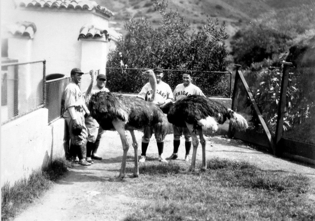 |
|
| (ca. 1930s)* - Chicago Cubs players posing with ostriches at Avalon Bird Park during spring training on Catalina Island. |
Historical Notes William Wrigley Jr. skillfully used the Chicago Cubs to promote Catalina Island as a premier Southern California vacation destination. During the Cubs’ annual spring training camps on Catalina between 1921 and 1951, players were frequently photographed participating in the same recreational activities available to ordinary visitors. Images showed Cubs players fishing from the pier, golfing, horseback riding through Catalina’s interior, touring Avalon, and visiting attractions such as the Bird Park, all while wearing their uniforms. These carefully staged publicity photographs helped pioneer a style of lifestyle tourism marketing that blended sports, recreation, travel, and entertainment into a single destination experience. Newspapers throughout the United States regularly published images of Cubs players enjoying Catalina’s attractions, helping introduce millions of Americans to the island during the height of the steamship era. Wrigley even promoted the arrangement directly with the slogan: “The Cubs Are Here, You Should Come Too.” The ostrich photographs taken at Avalon Bird Park became especially memorable because of their novelty and humor. The large birds provided striking visual subjects alongside uniformed ballplayers and helped reinforce Catalina’s image as both an exotic getaway and a playful vacation destination. Such publicity photographs circulated widely through newspapers, postcards, and promotional brochures during the 1920s and 1930s, strengthening Catalina Island’s national profile during one of the resort’s most successful periods. |
* * * * * |
Recreation and Wildlife Beyond Avalon |
Not every visitor to Catalina Island was content to remain along Avalon’s waterfront. From the earliest years of organized tourism, the island’s rugged interior offered a very different experience shaped by steep canyons, open hillsides, winding trails, and sweeping ocean views. As tourism expanded during the Wrigley era, Catalina’s interior increasingly became part of the island’s broader vacation appeal, with guided horseback rides, stage excursions, camping trips, and sightseeing tours drawing visitors far beyond Crescent Avenue and Avalon Harbor.William Wrigley Jr. encouraged development of recreational activities throughout the island’s backcountry, promoting Catalina not only as a seaside resort but also as a destination for outdoor adventure and exploration. During the 1930s, the Wrigley family further expanded this vision through the establishment of El Rancho Escondido, a large Arabian horse ranch located deep within Catalina’s interior. At the same time, Catalina’s growing bison herd became one of the island’s most unusual and recognizable attractions, adding another layer to the island’s distinctive identity. |
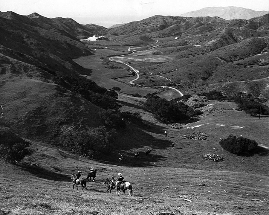 |
|
| (1930s)* – Group of visitors on horseback riding through Catalina Island’s inland terrain. |
Historical Notes This photograph shows a guided horseback party traveling through the dry hills and canyon country that define much of Catalina Island’s interior landscape. Horseback riding became one of the island’s most popular recreational activities during the Wrigley era, offering visitors an opportunity to experience Catalina beyond the beaches and waterfront attractions of Avalon Harbor. Trails crossing the island’s rugged terrain provided expansive ocean views and access to remote areas that remained largely undeveloped during the early 20th century. Philip Wrigley, who inherited Catalina Island from his father, was an enthusiastic horseman and strongly promoted equestrian activities on the island. He was once quoted as saying that the best way to truly appreciate Catalina was from the back of a horse. During the early 1930s, the Wrigley family established El Rancho Escondido on approximately 1,500 acres located about 12 miles from Avalon. Developed as both a working Arabian horse ranch and visitor attraction, the ranch became internationally known for its breeding program after the arrival of the foundation stallion Kaaba in 1931. Horses played an important role throughout Catalina’s history, serving not only recreational purposes but also transportation and ranching needs across the island. Stagecoach routes, freight wagons, cattle operations, and guided trail rides all relied heavily on horses during the island’s early development. By the 1930s, horseback excursions had become firmly established as one of Catalina’s signature visitor experiences. |
 |
|
| (n.d.)* – Catalina bison standing on a hillside overlooking the Pacific Ocean. |
Historical Notes Few stories in Catalina Island’s history are more unusual than the arrival of American bison on an island located more than 20 miles off the Southern California coast. According to the most widely repeated account, a small group of bison arrived on Catalina during the 1920s for use in the filming of a motion picture and were later left on the island. Although the 1925 silent film The Vanishing American is frequently associated with the herd’s origin, researchers have noted that the film itself contains no visible bison scenes filmed on Catalina Island. Other productions from the same period, including The Thundering Herd, have also been suggested as possible sources. Regardless of the precise origin story, the bison adapted quickly to Catalina’s rugged landscape and soon established a permanent herd. In 1934, William Wrigley Jr. added additional animals purchased from a Colorado rancher, further expanding the population. Over the following decades, the herd grew dramatically and at times reached nearly 600 animals roaming the island’s interior hillsides. The bison eventually became one of Catalina’s most recognizable attractions, though their presence also created long-term ecological challenges for the island’s fragile environment. Studies later determined that many of Catalina’s bison carried traces of domestic cattle ancestry, ending efforts to relocate some of the animals to mainland conservation herds. Today, the Catalina Island Conservancy carefully manages the population at a much smaller size in an effort to balance preservation of the island’s ecosystem with the continued presence of one of Catalina’s most enduring and unexpected symbols. Although commonly referred to as buffalo, the animals found on Catalina are technically American bison. True buffalo species are native to Africa and South Asia, while bison are indigenous to North America. |
* * * * * |
Sugarloaf Casino and the Disappearance of Big Sugarloaf |
The story of the Catalina Casino begins not with the massive circular landmark standing at Avalon Harbor today, but with a smaller octagonal dance hall that occupied the same waterfront site during the 1920s. When William Wrigley Jr. acquired controlling interest in Catalina Island in 1919, he inherited a harborfront location that had already been partially transformed. “Big” Sugarloaf Rock had been leveled in 1917 for a proposed replacement hotel for the aging Metropole, although the hotel itself was ultimately constructed elsewhere in Descanso Canyon as Hotel St. Catherine.Wrigley soon put the former Sugarloaf site to use by constructing a new dance hall known as Sugarloaf Casino beside the remaining “Little” Sugarloaf formation. During its brief existence, the building served Avalon as a ballroom, roller skating rink, restaurant, and even the island’s first high school. Yet the structure quickly proved too small for Catalina’s rapidly growing tourist crowds during the Wrigley era. The photographs in this section capture the short transitional period between the disappearance of the original Sugarloaf formations and the construction of the much larger Catalina Casino that permanently transformed Avalon Harbor. |
 |
|
| (1927)* - Elevated view of Avalon Bay showing Sugarloaf Casino and “Little” Sugarloaf near the north end of Avalon Harbor. |
Historical Notes This elevated panorama preserves one of the clearest surviving views of Avalon Harbor during the brief period between the leveling of “Big” Sugarloaf and the construction of the modern Catalina Casino. Sugarloaf Casino stands on the footprint of the original rock formation while “Little” Sugarloaf still rises prominently beside the shoreline, preserving part of the harbor’s earlier appearance. Avalon Harbor remained largely open during this period, filled with excursion boats, fishing craft, sailboats, and visiting steamships anchored offshore throughout the tourist season. Within only a few years after this photograph was taken, Sugarloaf Casino would be removed, “Little” Sugarloaf would be blasted away, and the entire appearance of Avalon Bay would change permanently. |
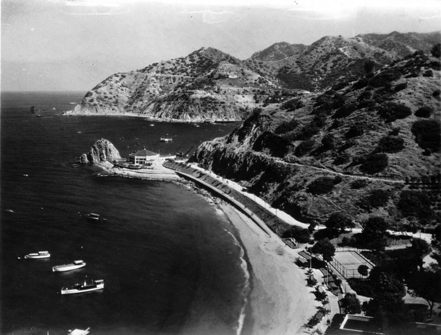 |
|
| (1927)* - View from Hotel St. Catherine in Descanso Canyon looking south toward Sugarloaf Casino with “Little” Sugarloaf visible beside the building. |
Historical Notes This photograph looks south across Avalon Harbor from the grounds of Hotel St. Catherine, the very hotel whose relocation helped make Sugarloaf Casino possible. In 1917, “Big” Sugarloaf Rock had been leveled to prepare the site for a replacement hotel for the aging Metropole. When development plans later shifted and the new hotel was instead constructed in Descanso Canyon, the cleared waterfront site became available for construction of the dance hall later known as Sugarloaf Casino. The octagonal building operated from approximately 1920 until 1928 and served multiple purposes during its short life, functioning as a ballroom, roller skating rink, restaurant, and Avalon’s first high school. Clearly visible beside the structure is “Little” Sugarloaf, the final remnant of the original twin rock formations that had long defined the north end of Avalon Harbor. |
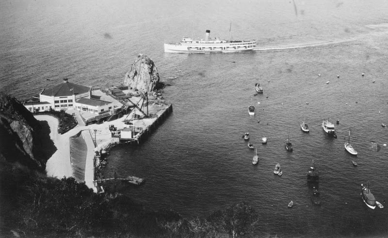 |
|
| (1927)* - View of Avalon Harbor looking seaward from behind “Little” Sugarloaf showing Sugarloaf Casino and the S.S. Catalina offshore. |
Historical Notes This unusual perspective from behind “Little” Sugarloaf captures a view of Avalon Harbor that no longer exists today. The rock formation itself was blasted away in March 1929 during grading operations associated with construction of Casino Point. From this vantage point, the relatively modest scale of Sugarloaf Casino becomes especially apparent against the open harbor beyond. Visible offshore is the S.S. Catalina, the famous “Great White Steamer” commissioned by William Wrigley Jr. and placed into service only three years earlier in 1924. The photograph captures a brief transitional moment when several eras of Avalon’s history overlapped simultaneously — the surviving Sugarloaf formation from the Banning years, the temporary Sugarloaf Casino of the early Wrigley era, and the modern steamship fleet that helped fuel Catalina’s rapid growth during the 1920s. |
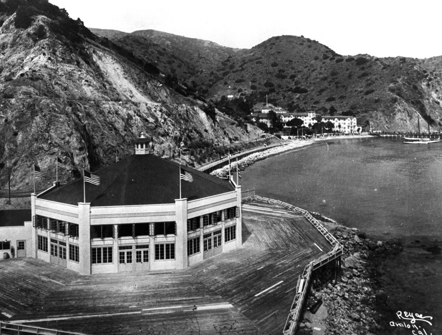 |
|
| (1920s)* – View looking north showing Sugarloaf Casino with Hotel St. Catherine visible in the distance along the shoreline of Descanso Canyon. |
Historical Notes This northward view places Sugarloaf Casino within its larger geographic setting, with Descanso Bay and Hotel St. Catherine visible beyond the harborfront structure. The relationship between the two buildings reflects one of the more unusual twists in Avalon’s early development history, since the hotel in the background had originally been planned for the Sugarloaf Point site occupied by the dance hall in the foreground. In February 1928, the steel framework of Sugarloaf Casino was dismantled and relocated approximately 1.2 miles inland into Avalon Canyon where it became the massive flight cage structure for the new Avalon Bird Park. Removal of the building cleared the harborfront site for construction of the much larger Catalina Casino that soon transformed Avalon Harbor into the iconic waterfront recognized today. |
* * * * * |
Construction of the Catalina Casino |
Construction on the new Catalina Casino began in February 1928, only weeks after the steel framework of the earlier Sugarloaf Casino had been dismantled and relocated into Avalon Canyon for reuse at the Avalon Bird Park. Designed by Los Angeles architects Sumner A. Spaulding and Walter Webber and supervised by Catalina Island master builder David M. Renton, the new structure represented William Wrigley Jr.’s ambitious vision for transforming Avalon into a world class resort destination. Rising roughly twelve stories above the harbor in a blend of Mediterranean Revival and Art Deco styling, the massive circular building permanently reshaped the appearance of Avalon Bay. The project quickly grew far beyond Wrigley’s original expectations. Construction costs expanded from an estimated $600,000 to nearly two million dollars as grading operations transformed the shoreline and the final remnant of the original Sugarloaf formations, “Little” Sugarloaf, was blasted away in March 1929. When the Catalina Casino officially opened in May 1929, Avalon Harbor had entered a new era — one defined by steamship tourism, grand entertainment, and one of California’s most recognizable waterfront landmarks. |
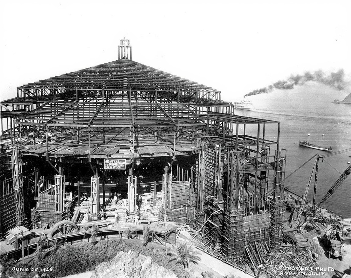 |
|
| (1928)* - Construction of the new Catalina Casino at Sugarloaf Point with the S.S. Catalina visible offshore. |
Historical Notes This remarkable construction view captures the Catalina Casino rising above Avalon Harbor during 1928 as steel framing and reinforced concrete work advanced rapidly along the former Sugarloaf shoreline. Construction crews worked around the clock under the supervision of David M. Renton to complete the massive project within approximately fourteen months. The building’s circular design and cantilevered ballroom floor created one of the largest unobstructed dance floors in the world. Visible offshore is the S.S. Catalina, the “Great White Steamer” that had entered service only four years earlier in 1924. By the late 1920s, Wrigley’s growing steamship fleet was transporting hundreds of thousands of passengers annually between Southern California and Avalon Harbor. The immense scale of the new Casino reflected Wrigley’s confidence that Catalina tourism would continue expanding dramatically in the years ahead. |
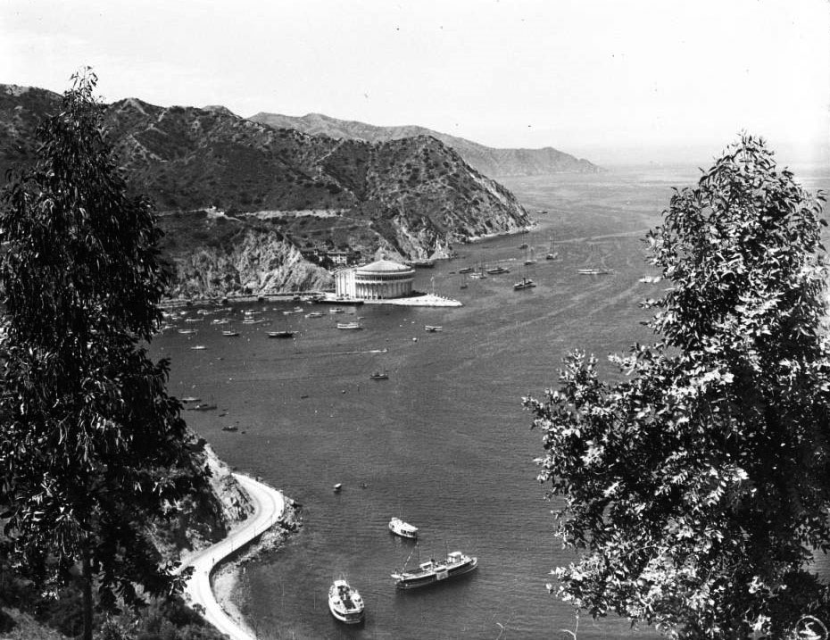 |
|
| (ca. 1929)* - View of Avalon Harbor through foreground trees with the newly completed Catalina Casino standing at the former site of the Sugarloaf formations. |
Historical Notes This early view of the completed Catalina Casino captures the dramatic transformation of Avalon Harbor immediately following the building’s opening in May 1929. Rising prominently above the waterfront where the Sugarloaf formations once stood, the massive circular structure instantly became Avalon’s dominant architectural landmark and permanently altered the visual identity of the harbor. Although commonly associated with gambling because of its name, the Catalina Casino never operated as a gambling establishment. Instead, the term “casino” reflected the European meaning of a gathering place devoted to entertainment and social activity. The building’s immense ballroom, motion picture theater, and waterfront setting quickly made it one of Southern California’s most celebrated resort attractions. |
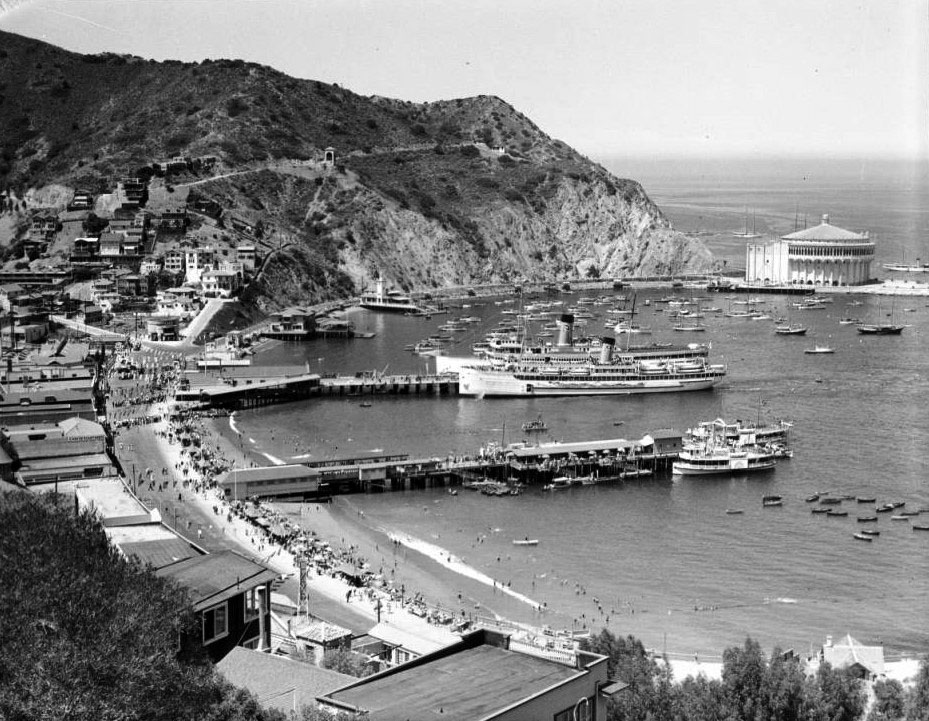 |
|
| (ca. 1929)* - Panoramic view of Avalon Harbor with the S.S. Avalon and S.S. Catalina docked near the waterfront and the Catalina Casino visible at Casino Point. |
Historical Notes This panoramic harbor scene captures Avalon shortly after completion of the Catalina Casino during one of the busiest periods of the island’s early resort era. Crowds gather along the beaches while the S.S. Avalon and S.S. Catalina occupy the harbor, reflecting the enormous popularity of Catalina Island tourism during the late 1920s and early 1930s. Together, the two steamships became the principal passenger vessels linking Avalon with mainland Southern California and helped transport hundreds of thousands of visitors to Catalina each year. The newly completed Casino served as the centerpiece of the carefully planned resort community William Wrigley Jr. spent a decade developing around Avalon Harbor. |
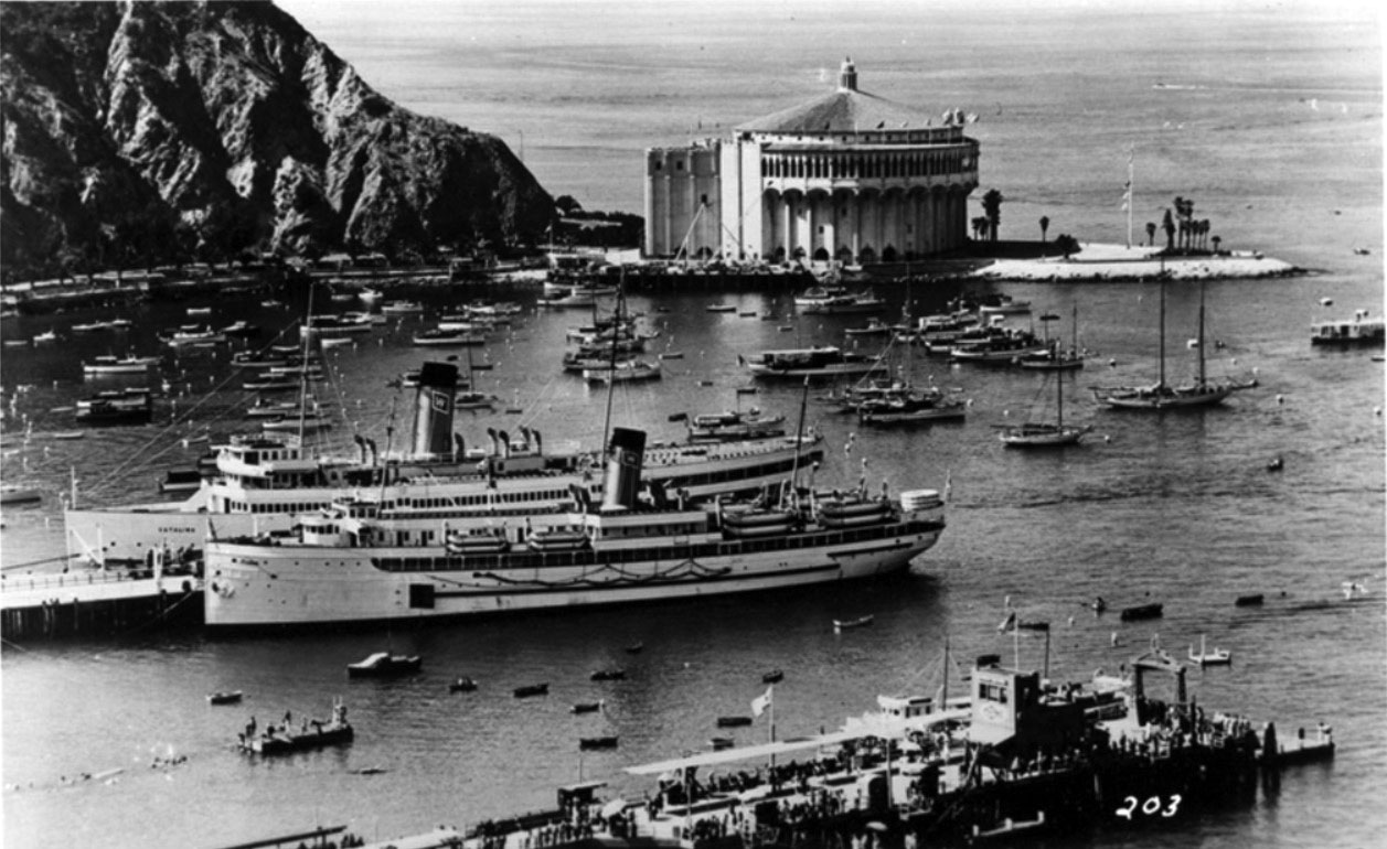 |
|
| (ca. 1929)* – Close-up view of the S.S. Catalina and S.S. Avalon docked at Avalon Harbor with the Catalina Casino towering in the background. |
Historical Notes This close harbor view places Avalon’s two great passenger steamships against the backdrop of the newly completed Catalina Casino, a combination that soon became one of the most recognizable resort images in California. Towering above the harborfront, the Casino symbolized Avalon’s emergence as a sophisticated entertainment destination during the interwar years. The Casino Ballroom hosted many of the leading orchestras of the Big Band era during the 1930s and 1940s, while radio broadcasts from Avalon carried performances across the United States. The landmark building visible above the harbor in this photograph would long outlast the steamships below and remains the defining architectural symbol of Catalina Island today. |
* * * * * |
S.S. Avalon |
No steamship serving Catalina Island had a more unusual history than the vessel that eventually became the S.S. Avalon. Originally launched in 1891 as the S.S. Virginia for service on the Great Lakes between Chicago and Milwaukee, the ship later served during World War I before being declared surplus by the U.S. Navy. After acquiring controlling interest in Catalina Island in 1919, William Wrigley Jr. purchased the vessel, renamed it Avalon, and sent it on a 4,900 mile journey through the Panama Canal to Southern California, where it entered passenger service between Los Angeles Harbor and Avalon in April 1920.The arrival of the S.S. Avalon marked the beginning of Wrigley’s larger effort to modernize transportation to Catalina Island and expand Avalon into a major resort destination. For more than three decades, the steamship became one of the most familiar sights on the Southern California coast and helped usher in Catalina Island’s most celebrated tourism era. |
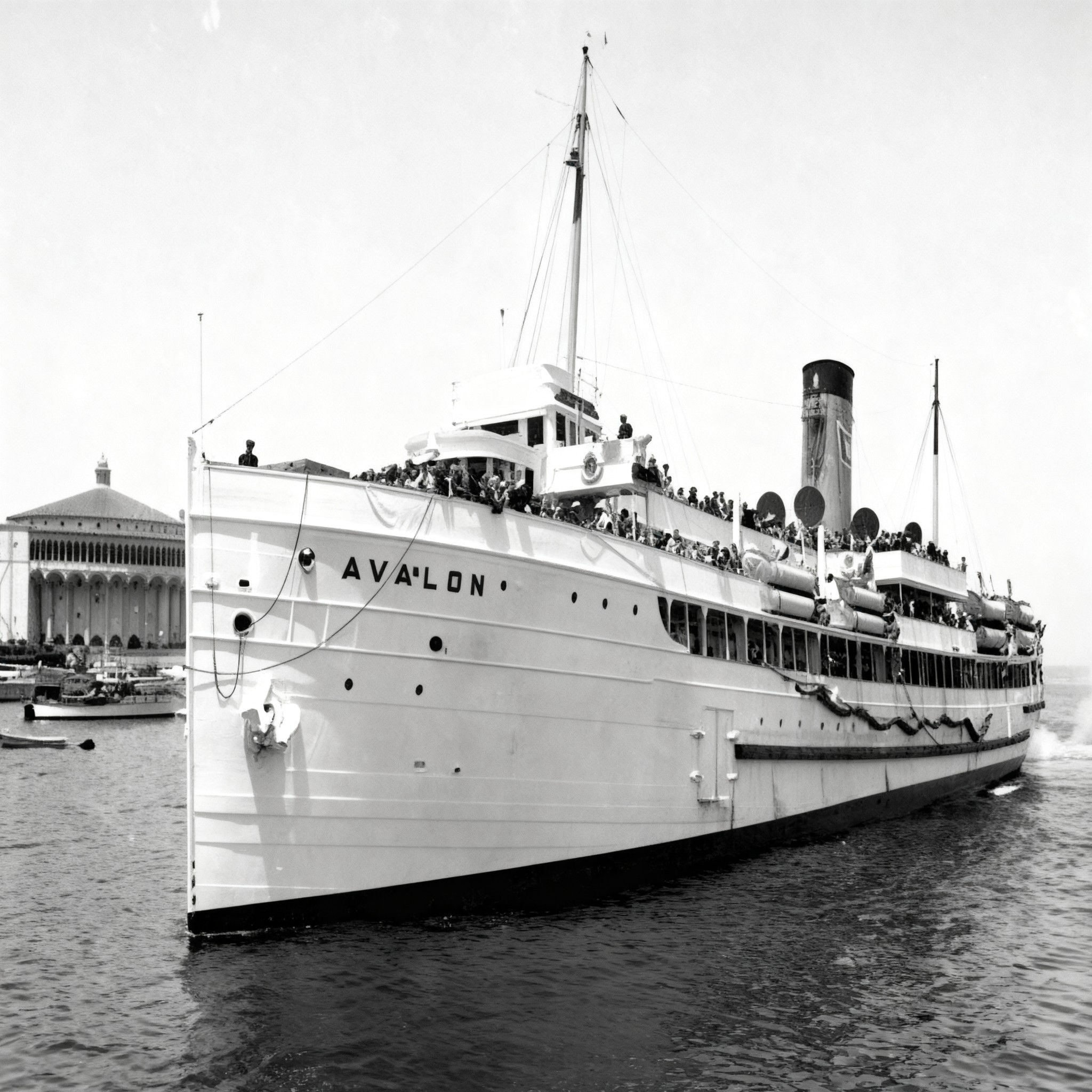 |
|
| (ca. 1929) - View of the S.S. Avalon arriving at Catalina Island with thousands of passengers aboard as the Catalina Casino rises in the background. |
Historical Notes This photograph captures the S.S. Avalon approaching Avalon Harbor during the late 1920s with the newly completed Catalina Casino visible at Casino Point beyond. Originally launched in 1891 as the S.S. Virginia, the vessel later served during World War I under the name U.S.S. Blueridge before being purchased by William Wrigley Jr. and rebuilt for Catalina passenger service. Although dependable and capable of carrying large crowds, the Avalon lacked the elegance and grandeur Wrigley envisioned for Catalina Island’s growing resort image. Within only a few years, he commissioned a far more luxurious steamship — the S.S. Catalina — to elevate the crossing itself into part of the vacation experience. Even so, the Avalon remained one of the island’s principal passenger vessels until its retirement in 1951 after more than thirty years of Catalina service. |
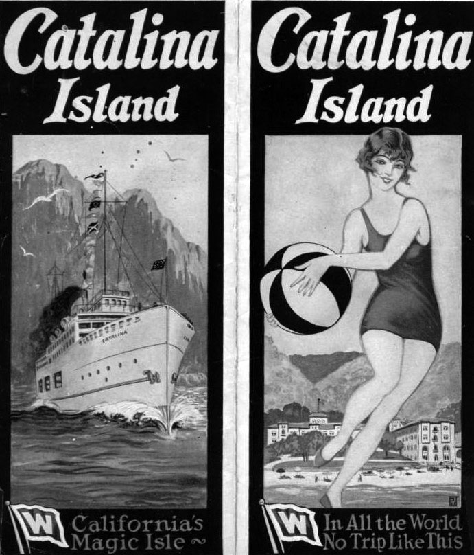 |
|
| (1920s)* - Promotional brochures advertising Catalina Island as “California’s Magic Isle” and “In All the World No Trip Like This.” |
Historical Notes Promotional brochures such as these formed part of William Wrigley Jr.’s larger campaign to transform Catalina Island into one of Southern California’s premier resort destinations. Steamship travel itself became a major part of the attraction, with advertisements emphasizing not only Avalon’s beaches and entertainment, but also the pleasure of the ocean crossing aboard Catalina’s passenger fleet. By the late 1920s, improved steamship service was bringing hundreds of thousands of visitors to Avalon each year. Wrigley’s coordinated use of advertising, transportation, hotels, attractions, and entertainment helped create one of the most recognizable resort identities on the West Coast and firmly established Catalina Island as “California’s Magic Isle.” |
* * * * * |
S.S. Catalina |
No vessel became more closely associated with Catalina Island than the S.S. Catalina, the famous “Great White Steamer” commissioned by William Wrigley Jr. and launched in 1924 specifically for passenger service between Southern California and Avalon Harbor. Built by the Los Angeles Shipbuilding and Drydock Company at a cost of approximately one million dollars, the elegant white steamship quickly became one of the most recognizable passenger vessels on the Pacific Coast and helped define Catalina’s image for generations of visitors.Capable of carrying nearly 2,000 passengers, the S.S. Catalina transformed the twenty six mile channel crossing into part of the vacation experience itself. Spacious promenade decks, live music, dancing, refreshments, and panoramic ocean views turned the voyage into a floating extension of Avalon’s resort atmosphere. During the peak tourism years of the late 1920s and 1930s, the steamship became the principal gateway to Catalina Island, carrying millions of visitors across the channel during more than fifty years of service. |
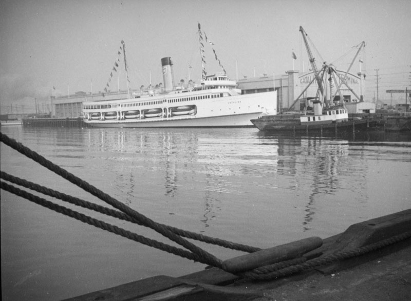 |
|
| (ca. 1924)* - View of the S.S. Catalina docked at Los Angeles Harbor shortly after entering service. |
Historical Notes Built by the Los Angeles Shipbuilding and Drydock Company, the S.S. Catalina officially entered service in 1924 as Catalina Island’s premier passenger steamship. The elegant vessel quickly earned the nickname “The Great White Steamer” and soon became one of the most recognizable ships on the West Coast. Over the course of its long career, the Catalina carried an estimated 25 million passengers between Southern California and Avalon Harbor. Among the ship’s passengers over the years were presidents, movie stars, musicians, athletes, convention groups, and tourists from across the country. For generations of Southern Californians, boarding the S.S. Catalina marked the beginning of a Catalina vacation long before Avalon Harbor itself came into view. |
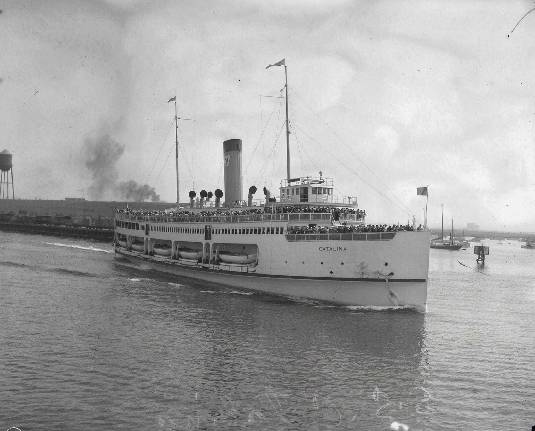 |
|
| (1924)^# - View of the S.S. Catalina departing the pier with passengers crowding the decks. |
Historical Notes This early departure view captures the S.S. Catalina during the height of Catalina Island’s growing tourism boom. Passengers crowd the decks dressed in the formality typical of the era, when even a day excursion to Avalon often meant jackets, ties, dresses, hats, and umbrellas for the crossing. By the late 1920s, tourist traffic to Catalina Island was increasing dramatically as improved steamship service made Avalon more accessible than ever before. During the peak summer months of 1929, the S.S. Cabrillo, S.S. Avalon, and S.S. Catalina together carried approximately 500,000 passengers between Southern California and Catalina Island. |
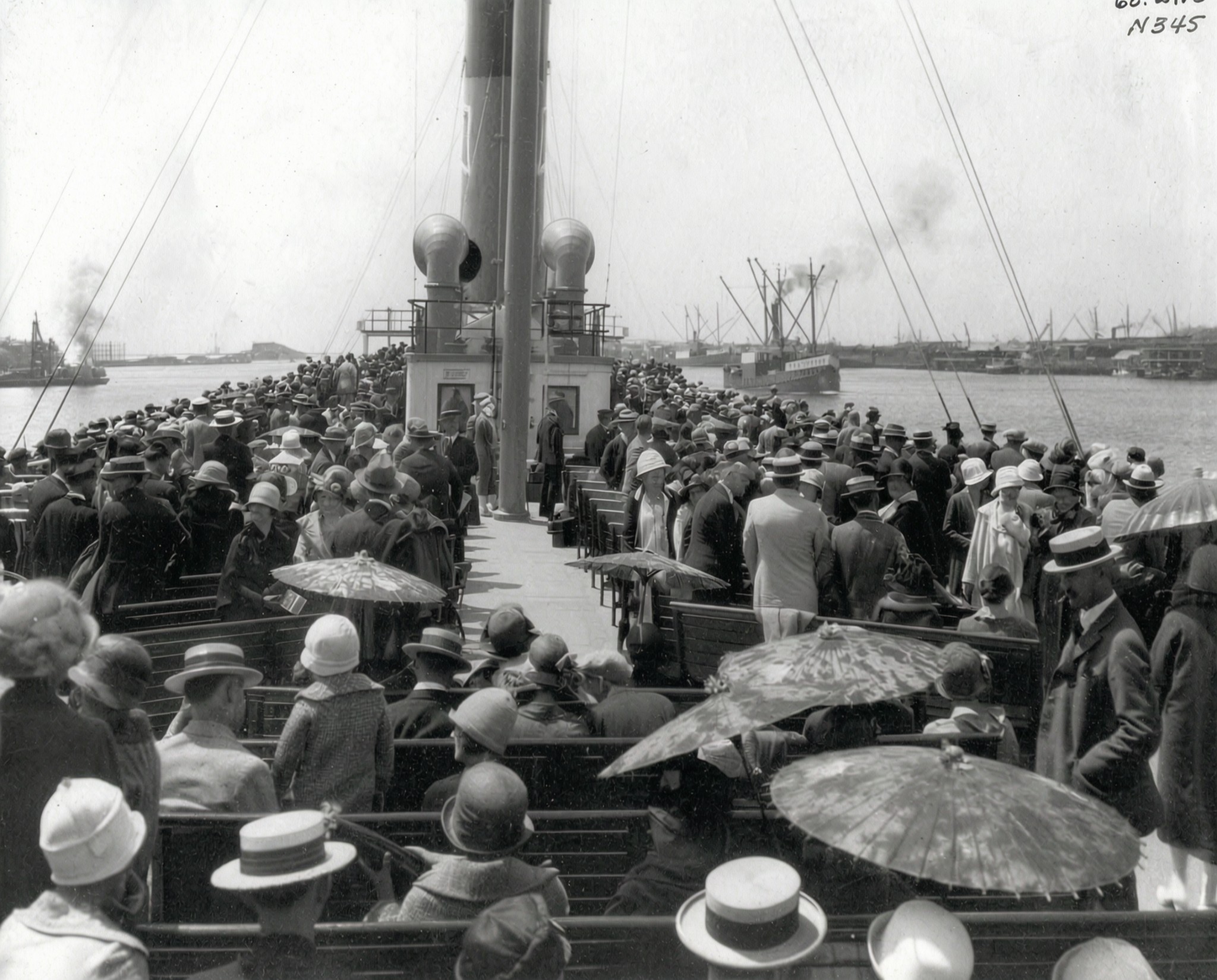 |
|
| (1920s)* - Passengers crowd the upper deck of the S.S. Catalina as the steamship departs Los Angeles Harbor for Catalina Island. |
Historical Notes Few photographs capture the scale and popularity of Wrigley era Catalina tourism more vividly than this crowded deck scene aboard the S.S. Catalina. Every available space along the promenade deck appears filled as passengers gather for the crossing to Avalon Harbor. For many travelers, the voyage itself became one of the highlights of the entire Catalina experience. Live music, dancing, refreshments, magicians, clowns, and sweeping ocean views transformed the crossing into a floating entertainment venue. During World War II, the famous steamship was requisitioned for military service before later returning to Catalina passenger operations following the war. |
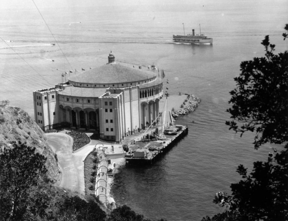 |
|
| (ca. 1920s)* – View showing the S.S. Catalina passing the Catalina Casino on its approach into Avalon Harbor. |
Historical Notes This classic harbor scene captures two of Catalina Island’s defining landmarks together — the S.S. Catalina and the newly completed Catalina Casino. William Wrigley Jr. envisioned the steamship fleet and the Casino as complementary parts of the same resort experience, with visitors arriving aboard the “Great White Steamer” to see the great circular Casino rising dramatically above Avalon Harbor. The arrival of the S.S. Catalina soon became one of Southern California’s classic travel experiences. Speedboats often circled the incoming steamship while crowds gathered along the waterfront to watch passengers disembark at Avalon’s busy harborfront during the island’s peak tourism years. |
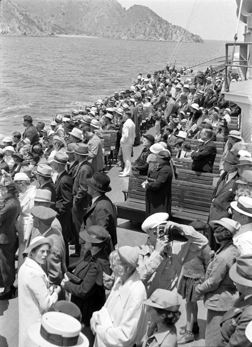 |
|
| (ca. 1930s)* – Passengers take in the views in Avalon Harbor. Photo Credit: Life Magazine |
Historical Notes This Life Magazine photograph captures the relaxed atmosphere that helped make Avalon Harbor one of Southern California’s most popular resort destinations during the Wrigley era. Visitors aboard excursion boats and harbor craft could enjoy sweeping views of the waterfront, the Casino, pleasure piers, beaches, and the surrounding hillsides that framed Avalon Bay. By the 1930s, Catalina Island had become closely associated with leisure, recreation, and coastal tourism. Thousands of mainland visitors arrived weekly aboard the S.S. Catalina and other steamships seeking sunshine, ocean air, dancing, fishing, swimming, and escape from the rapidly growing urban landscape of Los Angeles. The harbor itself functioned as the social center of Avalon. Excursion launches, glass bottom boats, fishing vessels, sailboats, and pleasure craft filled the bay throughout the busy summer season, creating the lively maritime atmosphere that became synonymous with Catalina Island. |
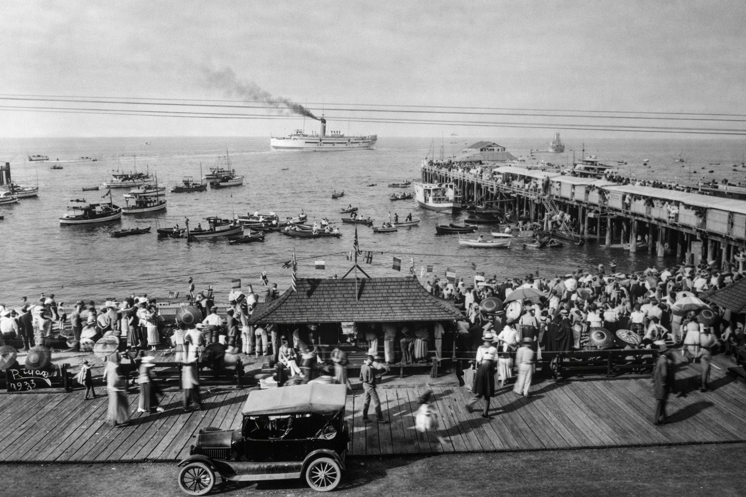 |
|
| (1920s)* - View showing Avalon’s crowded waterfront, boardwalk, and beach as the S.S. Catalina sails toward Sugarloaf Point in the distance. |
Historical Notes This remarkable waterfront scene captures Avalon during the height of Catalina Island’s tourism boom in the 1920s. The crowded beach, busy boardwalk, anchored pleasure craft, and approaching S.S. Catalina together illustrate how rapidly Avalon had evolved into one of Southern California’s premier resort destinations. At the far end of the harbor stands Sugarloaf Point, the rugged rock formation that dominated Avalon Bay for centuries before its removal in the late 1920s. William Wrigley Jr. ordered the promontory blasted away to create additional waterfront space for the construction of the Catalina Casino and the harbor improvements surrounding it. The S.S. Catalina itself had become central to Avalon’s identity by this period. Its daily arrival and departure helped define the rhythm of island life as thousands of visitors streamed into the harbor during the busy summer months. |
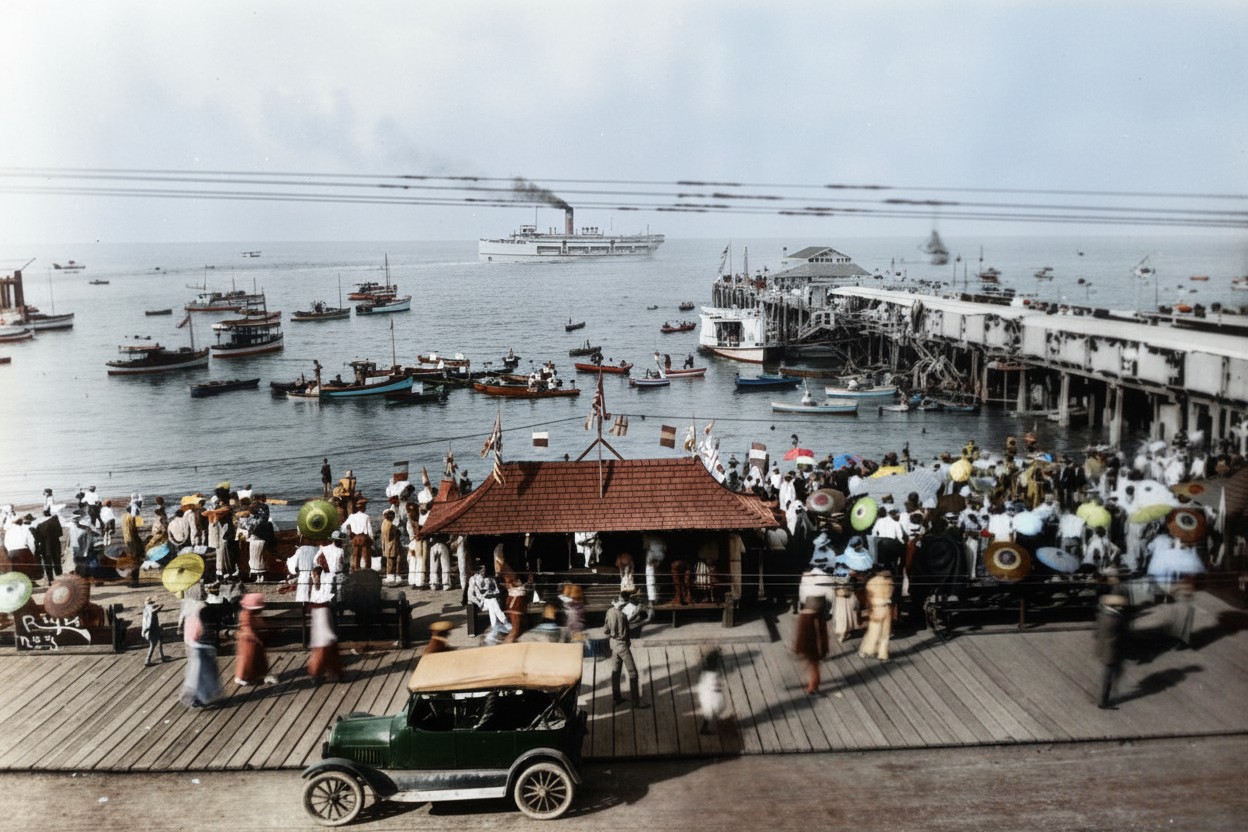 |
|
| (1920s)* - Colorized view showing Avalon’s crowded waterfront, boardwalk, and beach as the S.S. Catalina sails toward Sugarloaf Point in the distance. |
| Historical Notes
This colorized view offers a vivid interpretation of Avalon’s bustling waterfront during the 1920s, helping modern viewers visualize the atmosphere experienced by visitors arriving on Catalina Island during the resort’s golden years. Sugarloaf Point still rises prominently at the entrance to Avalon Harbor, preserving a scene that would soon disappear following construction of the Catalina Casino and surrounding waterfront improvements. Scenes such as this became widely circulated through postcards, travel brochures, magazines, and promotional materials that marketed Catalina Island throughout Southern California and beyond. The S.S. Catalina itself became one of the island’s most recognizable symbols, helping transform the voyage across the channel into part of the Catalina experience. |
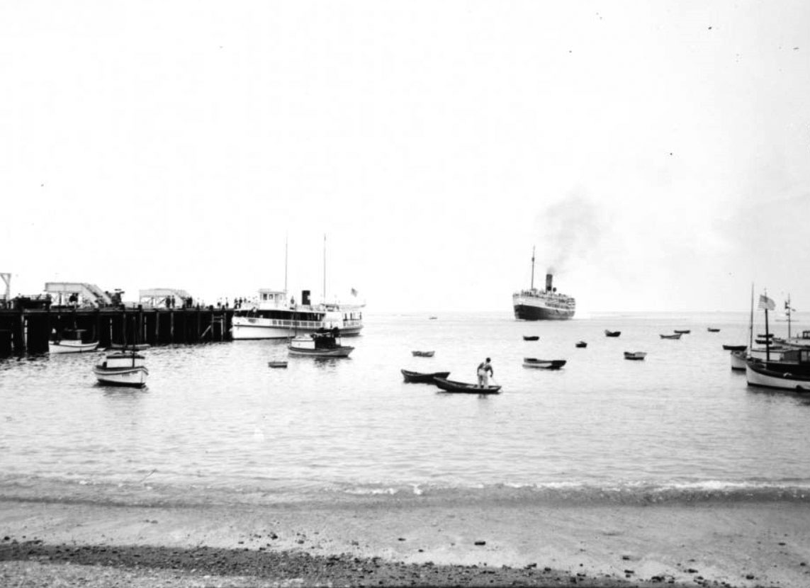 |
|
| (ca. 1920s)* – View showing the S.S. Catalina approaching the pier at Avalon Harbor. |
Historical Notes This harbor approach scene captures the excitement experienced by generations of passengers arriving aboard the S.S. Catalina. Smaller boats crowd the waters surrounding the pier while Avalon’s busy waterfront awaits the arrival of another steamship filled with tourists from the mainland. During the peak summer seasons, Avalon Harbor often became a remarkably active maritime environment. Excursion launches, sport fishing boats, sailboats, ferries, glass bottom boats, and private craft all competed for space within the protected bay. For many first time visitors, the approach into Avalon Harbor provided their first close view of the island’s steep hillsides, waterfront hotels, bathhouses, pleasure piers, and bustling beaches. The arrival itself became an important part of the Catalina experience. |
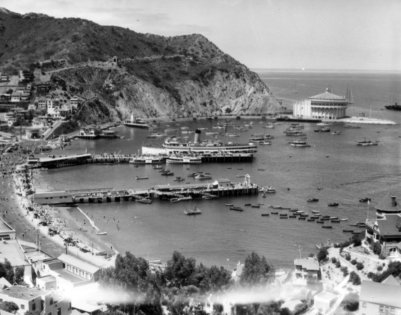 |
|
| (ca. 1929)* - View from a distance showing the just arrived S.S. Catalina docked at the wharf with passengers disembarking. |
Historical Notes This late 1920s harbor scene reflects Avalon at the height of the Wrigley era transformation. The newly completed Catalina Casino dominates the waterfront while passengers stream off the S.S. Catalina after crossing the channel from Southern California. Only a few years earlier, Sugarloaf Point occupied the foreground area surrounding the Casino site. Its removal dramatically altered Avalon Harbor’s appearance and created additional land for new waterfront development, promenades, and harbor facilities. The arrival of the S.S. Catalina became one of the defining visual traditions associated with Avalon. During busy weekends and holidays, thousands of passengers could arrive in a single day, filling the waterfront district with activity from morning until evening. |
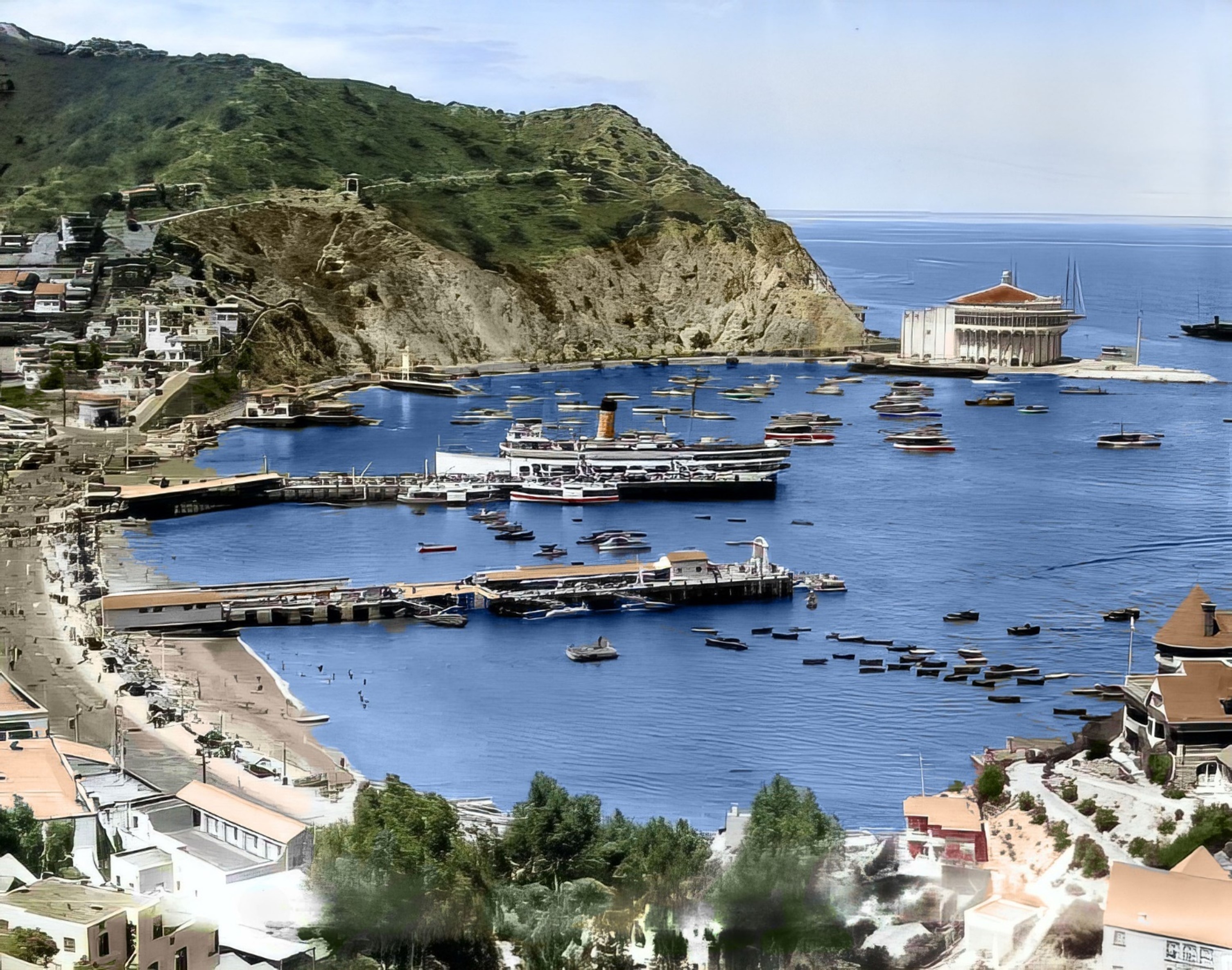 |
|
| (ca. 1929)* - Colorized view from a distance showing the just arrived S.S. Catalina docked at the wharf with passengers disembarking. |
Historical Notes This enhanced and colorized view helps bring Avalon Harbor’s late 1920s resort atmosphere to life. The bright waterfront activity, anchored boats, and imposing Catalina Casino together illustrate the dramatic changes that reshaped Avalon following the removal of Sugarloaf Point. By this period, Catalina Island had become heavily promoted through magazines, postcards, travel advertisements, and motion pictures as Southern California’s premier island resort. The S.S. Catalina itself frequently appeared in promotional imagery, becoming almost as recognizable as the Casino and Avalon Harbor. The relationship between the steamship and the Casino represented William Wrigley Jr.’s larger vision for Catalina Island: a carefully managed destination where transportation, entertainment, recreation, and scenery combined into a unified visitor experience. |
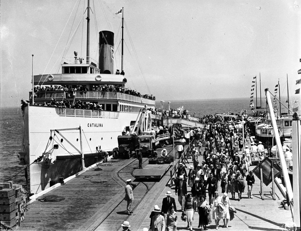 |
|
| (1920s)* - View showing hundreds of finely-dressed people disembarking the S.S. Catalina at Avalon Bay wharf, Catalina Island. |
Historical Notes This crowded disembarkation scene demonstrates the enormous popularity of Catalina Island excursions during the 1920s. Hundreds of passengers dressed in fashionable attire stream from the S.S. Catalina onto Avalon’s busy wharf as dock workers, hotel representatives, and visitors move through the harborfront area. Travel to Catalina during this era was considered a special social occasion. Many passengers wore formal or semi formal clothing even for day trips, reflecting the elegance associated with steamship travel and resort tourism during the early twentieth century. The daily arrival of the S.S. Catalina helped sustain Avalon’s hotels, restaurants, bathhouses, shops, fishing operations, entertainment venues, and transportation services. The steamship effectively served as the island’s economic lifeline throughout much of the twentieth century. |
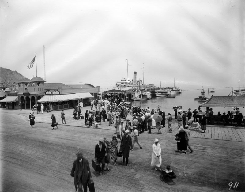 |
|
| (1920s)* - View of the dock, or ferry slip, which is full of passengers unloading out of the S.S. Catalina, nicknamed "The Great White Steamer". |
Historical Notes This lively waterfront photograph captures the organized chaos that often accompanied the arrival of the “Great White Steamer” at Avalon Harbor. Crowds gather along the ferry slip as newly arrived passengers make their way through narrow pathways toward Avalon’s hotels, beaches, shops, and transportation services. The surrounding harborfront businesses visible in the scene catered directly to the steady flow of tourists arriving from the mainland. Souvenir shops, refreshment stands, transportation companies, bathhouses, and excursion operators all depended heavily on the daily steamship schedule. For decades, the S.S. Catalina represented far more than transportation alone. The vessel became an enduring cultural symbol of Southern California leisure travel and remains deeply associated with Catalina Island’s historic identity. |
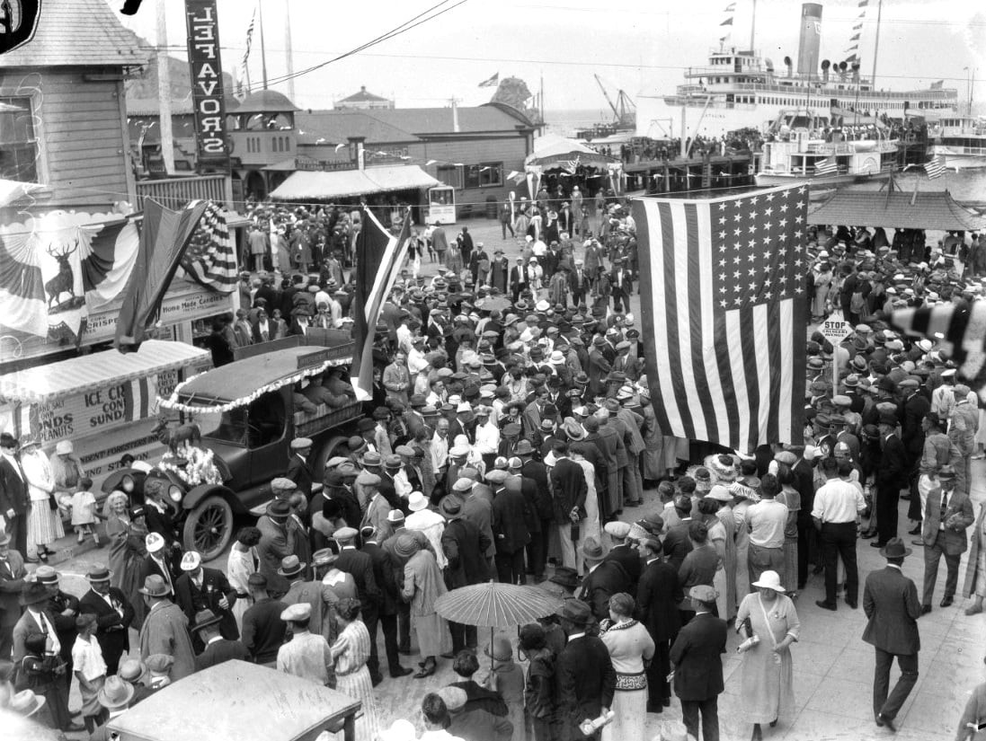 |
|
| (1921)* - Conventioneers arrive at Avalon, Santa Catalina Island, |
Historical Notes Large organized convention groups became an increasingly important part of Catalina Island tourism during the early twentieth century. Businesses, civic organizations, fraternal groups, and professional associations frequently selected Avalon as a destination for meetings, retreats, and recreational excursions. Before the arrival of the S.S. Catalina in 1924, visitors traveled aboard earlier steamships including the S.S. Cabrillo and S.S. Avalon. These vessels laid the foundation for Catalina’s rapidly expanding tourism industry during the Banning and early Wrigley years. The growing popularity of organized excursions and conventions demonstrated Catalina Island’s evolution from a relatively remote coastal resort into a nationally recognized vacation destination closely tied to Southern California’s expanding transportation network. The S.S. Catalina has been recognized as a Historic-Cultural Monument, No. 213 (Click HERE to see the LA Historic-Cultural Monuments List). It is also listed as California State Historic Landmark No. 894 (Click HERE to see more California Historic Landmarks in LA). She was listed on the National Register of Historic Places in 1976. |
* * * * * |
Catalina Seaplanes |
While the great white steamships remained the dominant mode of travel to Catalina Island throughout the first half of the twentieth century, a faster and more adventurous alternative gradually emerged above the channel. Seaplane service to Avalon began as early as 1919 when Syd Chaplin, the half-brother of silent film comedian Charlie Chaplin, partnered with pilot A.C. Burns to establish one of the first commercial air routes between San Pedro and Catalina Island. Their small three-passenger seaplane, the Sea Gull, landed directly in Avalon Bay and introduced visitors to an entirely new way of reaching the island.Throughout the 1920s, additional aviation companies experimented with passenger flights to Catalina using converted wartime flying boats and later more advanced amphibian aircraft. Though steamships still carried the overwhelming majority of visitors, seaplanes appealed to travelers seeking speed, novelty, and dramatic aerial views of Avalon Harbor and the island’s rugged coastline.Seaplane service reached its most organized form in 1931 when Philip K. Wrigley established Wilmington-Catalina Airline, Ltd. through the Santa Catalina Island Company. Operating Douglas Dolphin amphibian aircraft from a specially designed seaplane base at Hamilton Cove, the airline flew the channel route continuously for nearly a decade without a single accident. Although World War II temporarily halted much of Catalina’s civilian aviation activity, seaplane service later returned during the postwar years through operators such as Avalon Air Transport, extending Catalina’s remarkable amphibious aviation tradition well into the second half of the twentieth century. |
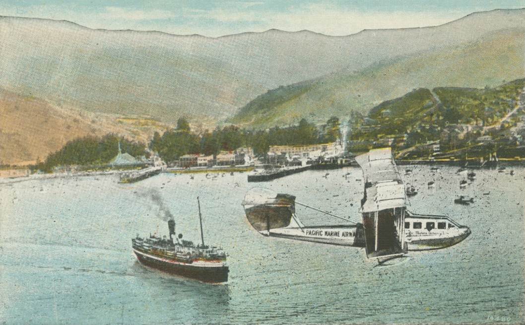 |
|
| (1920s)* - Up-to-date transportation between Catalina Island and the Mainland. The postcard view shows a seaplane flying over Avalon Bay with a steamship seen below. |
Historical Notes This postcard captures two competing forms of Catalina transportation during the 1920s — the large passenger steamship below and the seaplane overhead. For most visitors, steamships remained the preferred method of travel because of their lower fares, larger passenger capacity, and comfortable onboard amenities. Seaplanes, however, offered something entirely different: speed, excitement, and the novelty of air travel during aviation’s pioneering years. Seaplane operations to Catalina began in 1919 when pilot A.C. Burns carried the first commercial passengers across the channel in a small aircraft that landed directly in Avalon Bay. During the following decade, several companies experimented with seasonal passenger service using flying boats and amphibious aircraft before Philip Wrigley formally reorganized operations under Wilmington-Catalina Airline in 1931. |
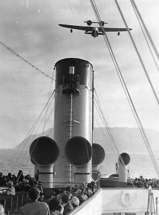 |
|
| (ca. 1930s)* – View showing a Douglas Dolphin seaplane seen from the deck of the S.S. Avalon with Catalina Island in the background. |
Historical Notes This remarkable scene captures Catalina Island’s two principal transportation systems sharing the same stretch of channel. Seen from the deck of the S.S. Avalon, a Douglas Dolphin amphibian aircraft flies overhead while Catalina Island rises in the distance beyond. Designed by Donald Douglas, the twin engine Douglas Dolphin became one of the earliest amphibious aircraft used successfully for commercial passenger service. Its enclosed cabin, refined interior, and ability to land directly on water made it especially well suited for Catalina operations. Philip Wrigley selected the aircraft as the flagship of Wilmington-Catalina Airline partly because of its reliability, comfort, and modern appearance. The S.S. Avalon itself represented an earlier era of Catalina transportation history. Originally launched in 1891 as the S.S. Virginia for Great Lakes service, the vessel later served as a Navy transport during World War I before William Wrigley acquired and renamed it for Catalina Island operations in 1920. Together, the steamship and seaplane illustrate the remarkable diversity of transportation options available during Catalina’s resort era. |
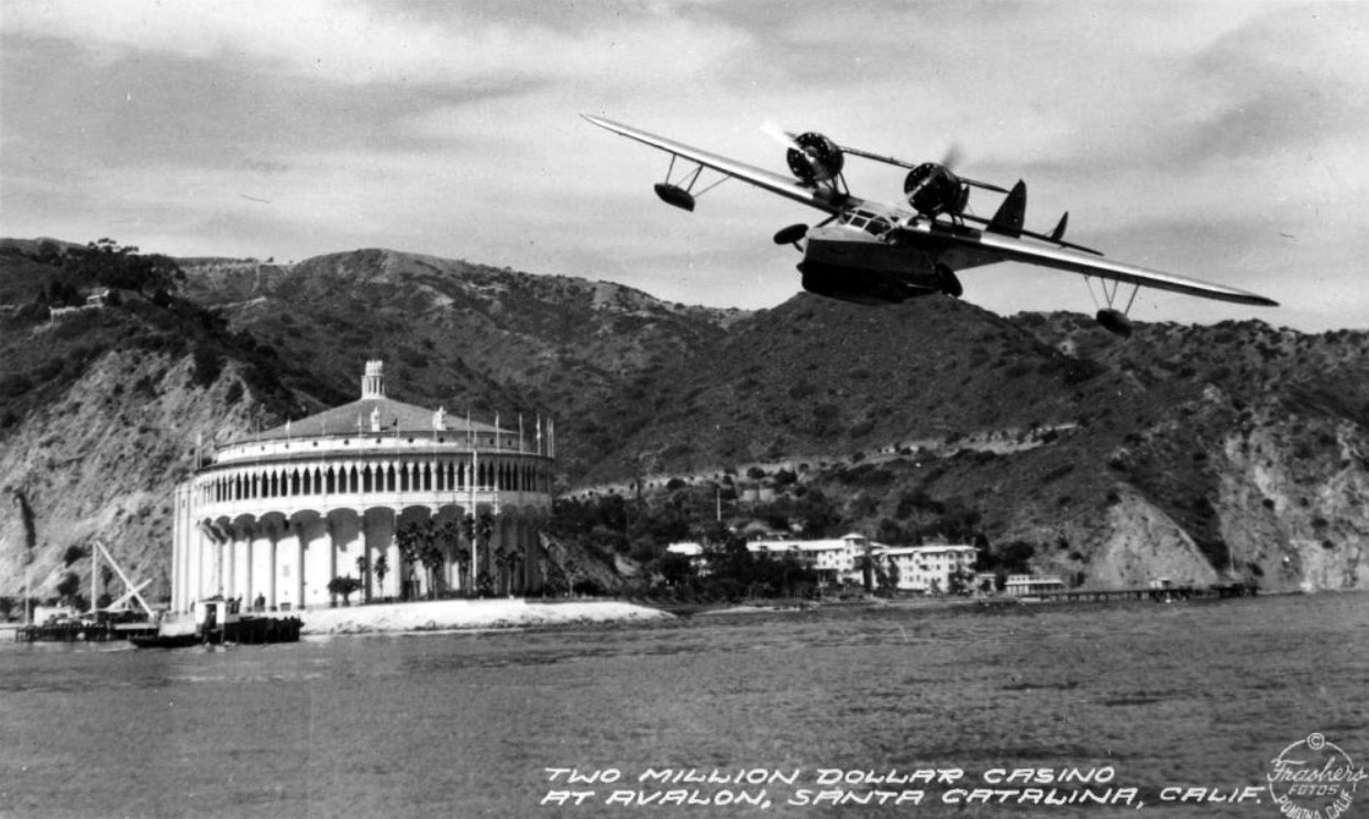 |
|
| (1930s)* - Postcard view showing a seaplane arriving with tourists at Avalon Bay in front of the Catalina Casino. |
Historical Notes This dramatic postcard places the seaplane against Avalon’s most recognizable landmark — the Catalina Casino — helping create one of the defining travel images of 1930s Catalina Island. By the early 1930s, the sight of amphibious aircraft descending onto Avalon Bay had become closely associated with Catalina’s growing reputation for glamour, innovation, and modern resort travel. Philip K. Wrigley formally organized Wilmington-Catalina Airline, Ltd. in 1931 as a subsidiary of the Wilmington Transportation Company. Using Douglas Dolphin aircraft, the airline maintained scheduled passenger service between the mainland and Avalon throughout the decade while compiling an extraordinary safety record with no passenger injuries or fatal accidents during its years of operation. Promotional materials, postcards, and travel advertisements frequently paired the seaplanes with the Casino and Avalon Harbor, reinforcing Catalina Island’s image as a destination where modern transportation and resort elegance existed side by side. |
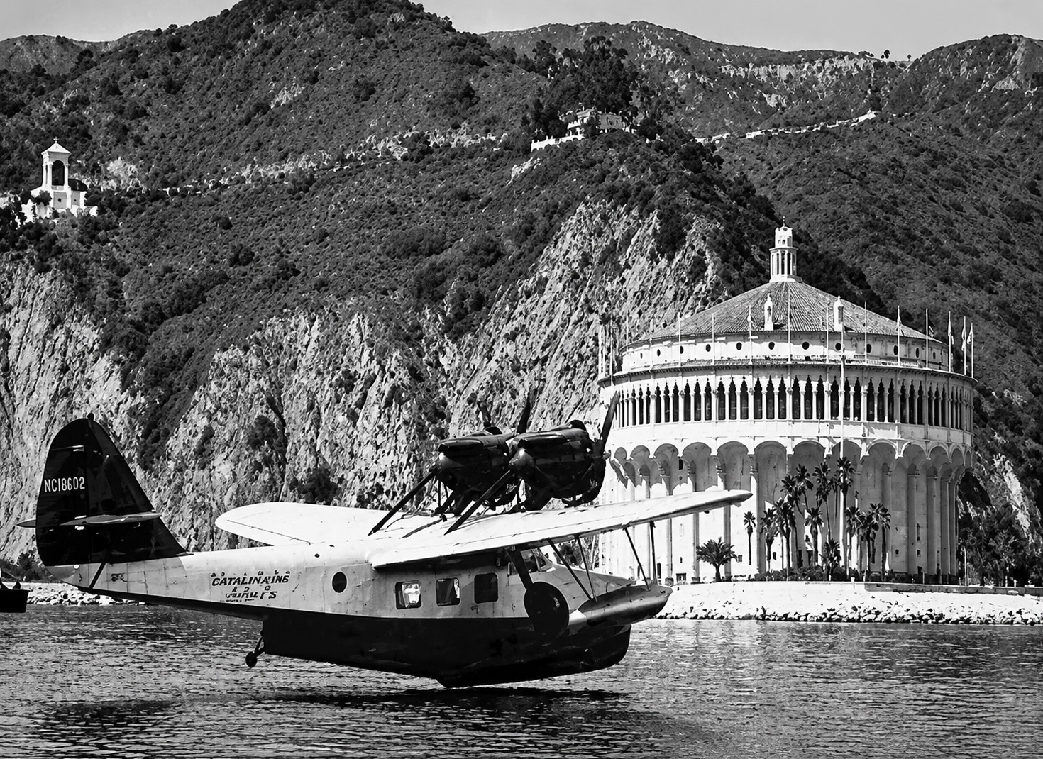 |
|
| (1931)* - Seaplane landing near the new “Two Million Dollar Casino” in Avalon Harbor. Image enhanced from the original photograph. |
Historical Notes This striking harbor scene captures a Douglas Dolphin seaplane descending toward Avalon Bay with the newly completed Catalina Casino rising behind it. Philip Wrigley designed the Hamilton Cove seaplane base specifically to accommodate the Dolphin amphibians, which landed offshore before taxiing onto a concrete ramp connected to a large rotating turntable mechanism. Once brought onto the platform, the aircraft could be rotated toward the water and prepared for departure back to the mainland. The unusual turntable system became one of the more distinctive engineering features associated with Catalina aviation history and reflected Wrigley’s continuing efforts to modernize transportation to the island. A one-way flight aboard Wilmington-Catalina Airline cost approximately five dollars during the late 1930s — considerably more expensive than steamship passage, but attractive to travelers seeking a faster and more exclusive crossing experience. |
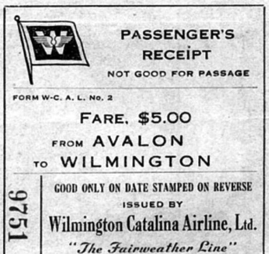 |
(ca. 1938)* - Passenger receipt for a one way seaplane trip from Avalon to Wilmington aboard Wilmington-Catalina Airline, Ltd., “The Fairweather Line.” Fare - $5.00
|
|
Historical Notes This original passenger receipt documents a one-way crossing aboard Wilmington-Catalina Airline, Ltd., which promoted itself as “The Fairweather Line.” The five-dollar fare was roughly double the cost of a comparable steamship ticket during the same period, reflecting both the speed and exclusivity associated with Catalina seaplane travel. The nickname “Fairweather Line” acknowledged one of the practical limitations of seaplane operations. Heavy fog, rough seas, or unfavorable weather conditions could temporarily ground aircraft even while Catalina’s larger steamships continued operating across the channel. In August 1940, plans to expand aviation operations on Catalina Island began moving forward with construction of a new inland airport facility that would later become known as the Airport in the Sky. Completed in 1941, the airport allowed for larger land-based aircraft operations and reflected growing confidence in Catalina’s aviation future. That future changed abruptly following the attack on Pearl Harbor on December 7, 1941. Civilian transportation to Catalina was heavily restricted as the island became a closely patrolled military zone during World War II. Hamilton Cove Airport never reopened following the war, although seaplanes continued serving Avalon for many years afterward while the Airport in the Sky resumed civilian operations in 1946. |
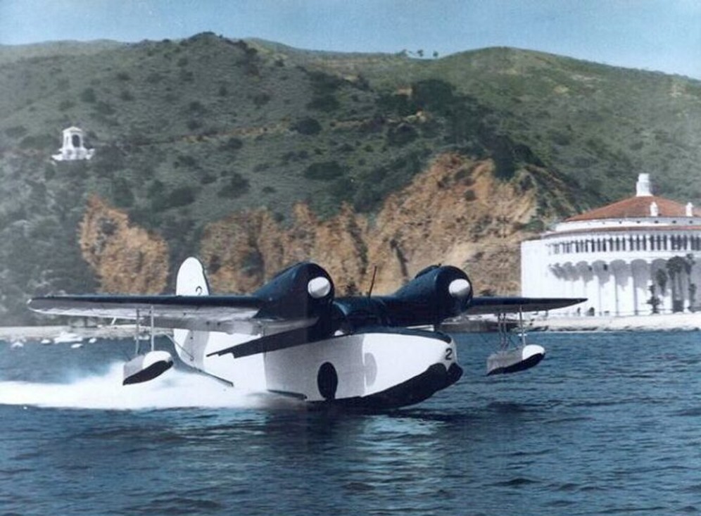 |
|
| (ca. 1955)* - Avalon Air Transport Grumman Goose N1583V, Ship No. 2, lifts off from Avalon Harbor with the Catalina Casino visible in the background. Photo by Richard Probert. |
| Historical Notes
This memorable photograph captures Avalon Air Transport’s Grumman Goose lifting off from Avalon Harbor during the postwar years of Catalina seaplane service. Taken by airline founder Dick Probert, the image reflects a period when amphibious aircraft once again became a familiar sight around Avalon following the disruptions of World War II. Founded in 1953, Avalon Air Transport helped continue Catalina’s long association with seaplane travel after the earlier Wilmington-Catalina Airline era had ended. Operating rugged Grumman Goose amphibious aircraft, the company transported tourists, residents, and business travelers between the mainland and Catalina while offering passengers dramatic low-level views of the Southern California coastline and Avalon Harbor. Unlike earlier seaplane operations centered at Hamilton Cove, Avalon Air Transport initially operated from floating docks near Descanso Bay before later moving operations closer to Avalon’s waterfront. The sight of Grumman Goose aircraft lifting off beside the Catalina Casino became one of the island’s most distinctive postwar aviation images. |
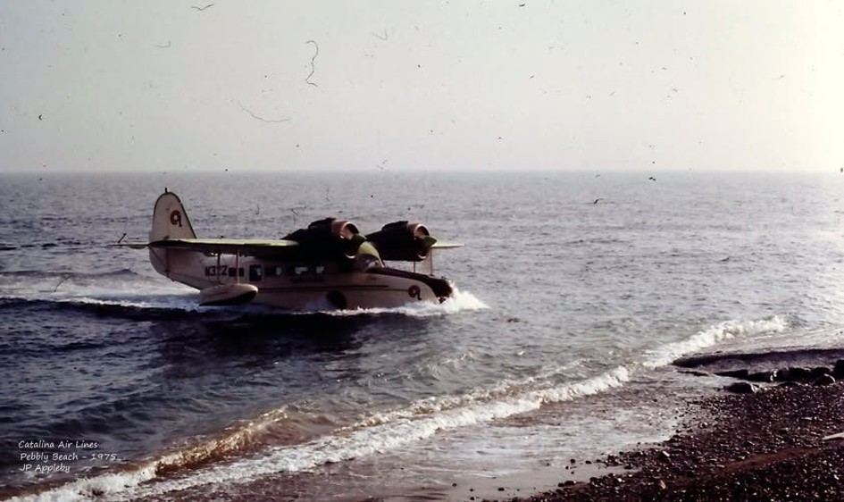 |
|
| (1975)* – Catalina Airlines, Inc. Grumman Goose races along the shoreline at Pebbly Beach, Catalina Island, during a water takeoff run. Photo: J.P. Appleby. |
| Historical Notes
This photograph captures the final chapter of Catalina's long seaplane tradition. By 1975, Catalina Airlines, Inc. — which had taken over operations from Golden West Airlines in 1973 — was operating a fleet of Grumman Goose amphibious aircraft along the San Pedro Channel. The rugged twin-engine Goose, first introduced to Catalina service in the early 1950s, had by this point been carrying island passengers for more than two decades, its broad hull and high-mounted engines well suited to the wave conditions at Pebbly Beach. The open pebble shoreline visible in the background marks Pebbly Beach, just outside Avalon, which served as the island's primary seaplane terminal throughout the postwar era. The FAA grounded Catalina Airlines' Goose fleet in 1977 due to salt water corrosion, temporarily suspending fixed-wing amphibious service and ending what had been nearly a quarter-century of nearly continuous Grumman Goose operations to the island. Catalina Airlines, Inc. ceased all operations in 1981, bringing to a close the colorful era of scheduled seaplane service that Philip Wrigley had launched at Hamilton Cove fifty years earlier. |
* * * * * |
Hamilton Cove — Catalina’s Seaplane Base |
Located in a sheltered cove just north of Avalon Harbor, Hamilton Cove became the operational center of Catalina’s organized seaplane service when Philip K. Wrigley established Wilmington-Catalina Airline, Ltd. in 1931. Rather than adapting an existing harbor facility, Wrigley developed a purpose-built seaplane base designed specifically for the Douglas Dolphin amphibian aircraft that carried passengers between the mainland and Avalon.The engineering heart of the operation was a large wooden turntable mounted at the top of a concrete ramp extending into the water. After landing offshore, aircraft taxied up the ramp where ground crews rotated them by hand until they faced back toward the harbor for departure. The unusual system functioned much like a railroad turntable and became one of the most distinctive aviation facilities in Southern California.Hamilton Cove included offshore mooring buoys, fueling facilities, maintenance areas, and a small Spanish Colonial Revival style terminal building that welcomed arriving passengers. Promoted as “the smallest airport in the world with the longest landing field” — the Pacific Ocean — Hamilton Cove represented one of the most innovative and memorable chapters in Catalina transportation history. |
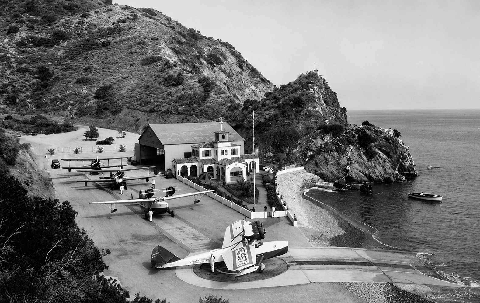 |
|
| (ca. 1931)* - Scenic view of Catalina Airport at Hamilton Cove on Santa Catalina Island. Several aircraft marked “Wilmington-Catalina Airline, Ltd.” are parked beside the seaplane ramp and terminal area. |
Historical Notes Philip Wrigley designed the Hamilton Cove seaplane base specifically to accommodate the Douglas Dolphin amphibians operated by Wilmington-Catalina Airline, Ltd. The facility’s concrete ramp, offshore mooring buoys, fueling station, and rotating turntable worked together as a highly efficient system for receiving, servicing, and dispatching aircraft within the narrow confines of the cove. Several smaller amphibian aircraft can be seen alongside at least one Douglas Dolphin, reflecting the transitional years when the airline operated multiple aircraft types before standardizing on the twin engine Dolphin as its primary passenger plane. The small Spanish Colonial Revival terminal building visible behind the ramp became a familiar sight to Catalina travelers during the 1930s. Hamilton Cove soon gained national attention as one of the most unusual commercial aviation facilities in the United States, combining innovative engineering with the glamour and resort atmosphere that had become closely associated with Catalina Island. |
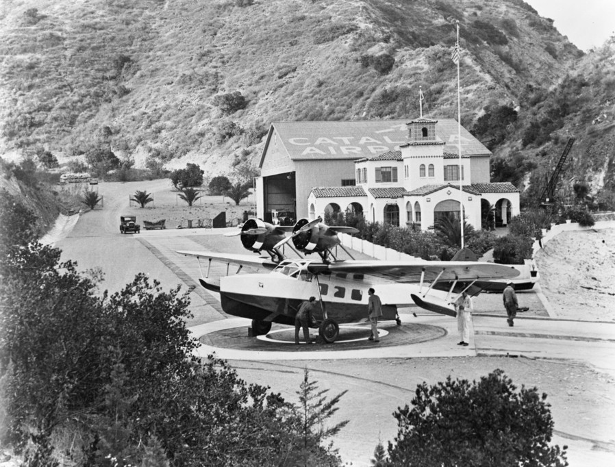 |
|
| (1942)* - A seaplane being positioned on the turntable at Catalina Airport, Hamilton Cove. |
| Historical Notes
This rare photograph provides one of the clearest surviving views of the famous Hamilton Cove turntable system in operation. After landing offshore, amphibious aircraft taxied onto the submerged ramp where they were carefully winched upward onto the large wooden platform beside the shoreline. Ground crews manually rotated the turntable between arrivals and departures, allowing aircraft to be repositioned toward the harbor without requiring conventional runways or taxiways. The system operated successfully for more than a decade and became one of the defining features of Catalina’s seaplane operations. Within months after this photograph was taken, civilian air traffic to Catalina Island was shut down following America’s entry into World War II. The Hamilton Cove facility was eventually taken over for military use, and the airport never returned to civilian passenger operations after the war — making photographs documenting the turntable in active use among the rarest surviving visual records of Catalina’s seaplane era. |
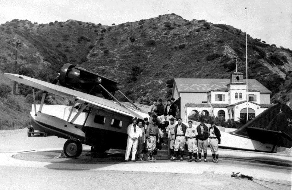 |
|
| (ca. 1931)* - William Wrigley’s Chicago Cubs at the Hamilton Cove Airport. |
Historical Notes This unusual scene connects two important elements of the Wrigley family’s Catalina legacy — aviation and professional baseball. Members of the Chicago Cubs gather at Hamilton Cove Airport during the team’s long association with Catalina Island spring training. William Wrigley Jr. moved the Cubs’ spring training operations to Catalina in 1921, helping establish Avalon as one of the most famous spring training destinations in professional baseball. Players, coaches, sportswriters, and fans regularly traveled between the mainland and Catalina aboard steamships and, later, seaplanes. The Wrigley family used transportation, tourism, and professional sports together to help promote Catalina Island as one of Southern California’s premier resort destinations. Hamilton Cove Airport became another visible part of that carefully managed vision during the island’s golden resort era. |
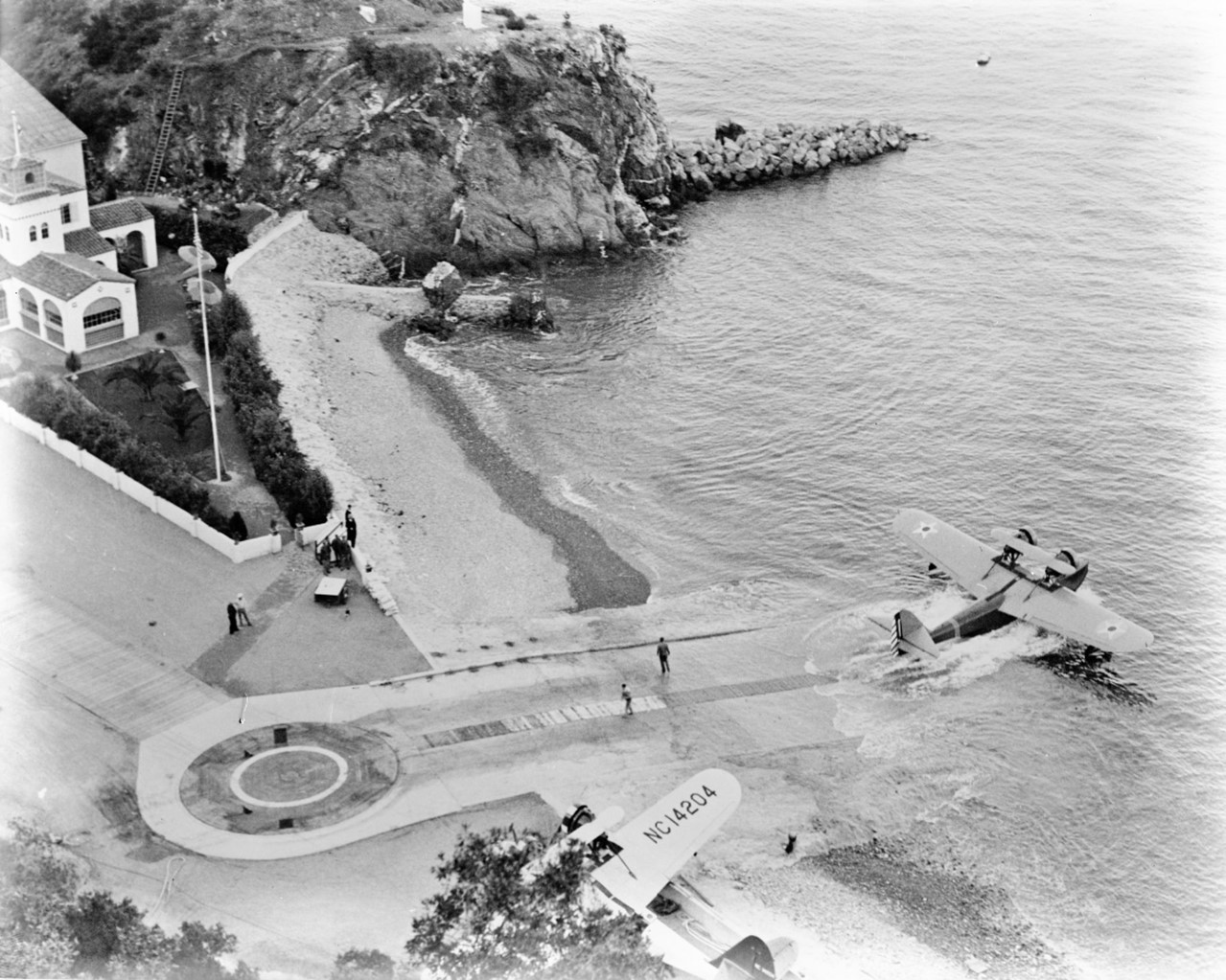 |
|
| (1942)* - A Douglas Dolphin departs Hamilton Cove as a second aircraft, NC14204, awaits its turn on the ramp below. The circular turntable and Spanish Colonial Revival terminal building are visible at lower left. |
Historical Notes This aerial view captures Hamilton Cove in the middle of a departure sequence — one Douglas Dolphin already moving down the concrete ramp toward open channel while a second aircraft, NC14204, sits staged near the turntable platform. The photograph offers one of the clearest surviving records of how the facility actually functioned as a working seaplane base, with the concrete ramp, circular turntable platform, and terminal building all visible in a single frame. NC14204 was one of only two Douglas Dolphins ever purchased by Wilmington-Catalina Airline, Ltd. Built with 550 horsepower Pratt and Whitney Wasp SC-1 engines specifically for William Wrigley and his Wilmington-Catalina Island Airline, NC14204 and its companion NC-967Y were the first two production Dolphin aircraft purchased by Philip Wrigley, making them the very first Douglas airliners ever to enter commercial service. Together the two aircraft maintained scheduled channel crossings throughout the 1930s while compiling an extraordinary safety record. Wilmington-Catalina Airline ceased operations on June 23, 1942, as a result of World War II, bringing to a close one of the most distinctive chapters in Southern California aviation history. |
* * * * * |
The Tuna Club of Avalon |
Of all the institutions that shaped life on Catalina Island, few left a deeper mark on the wider world than the Tuna Club of Avalon. Founded in 1898 by naturalist and author Charles Frederick Holder following his record rod and reel catch of a 183 pound bluefin tuna, the club established the first formal rules for modern big game sportfishing, emphasizing fair play, light tackle, and conservation of game fish. Those principles eventually became the foundation of sportfishing standards recognized around the world.Long before William Wrigley Jr. reshaped Avalon’s waterfront with the Catalina Casino and other major developments, the Tuna Club was already drawing an extraordinary mix of anglers, writers, actors, politicians, military leaders, and dignitaries to the island. The photographs in this section trace the evolution of the club from its first dedicated clubhouse in 1908 to the historic building that still stands along Avalon Bay today. |
 |
|
| (ca. 1908)* – View showing the newly constructed Tuna Club (center of photo) with Sugarloaf Point in the background. |
Historical Notes For the club’s first ten years, its headquarters consisted of little more than a borrowed desk inside Avalon’s Hotel Metropole. That changed in 1908 when the Santa Catalina Island Company presented the club with its first dedicated clubhouse as recognition for the prestige and tourism the organization had brought to Avalon. Seen here newly completed along the waterfront, the clubhouse stood beneath the familiar profile of Sugarloaf Point, one of Avalon Harbor’s most recognizable natural landmarks before its removal in 1929 during construction of the Catalina Casino. The Tuna Club itself was founded only days after Dr. Charles Frederick Holder landed a 183 pound bluefin tuna on rod and reel following a four hour battle across nearly ten miles of open water. Holder believed ocean fishing should follow the same standards of sportsmanship applied to hunting on land. The club’s early rules emphasized lightweight tackle, limited equipment, fair play, and conservation of game fish. Those principles later became the foundation for modern big game sportfishing around the world. Today, the Tuna Club of Avalon is recognized as the oldest sportfishing club in the United States. |
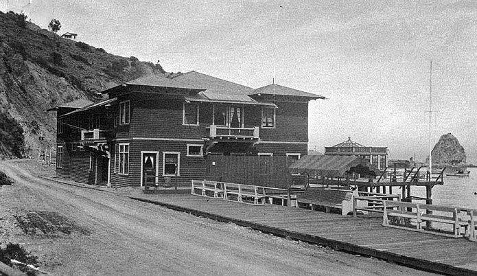 |
|
| (1928)* - Ground view showing the Tuna Club. In the background can be seen the 2nd Catalina Casino under construction adjacent to ‘Little Sugarloaf’ |
Historical Notes The building seen in this photograph is not the original 1908 clubhouse. That structure was destroyed during the devastating Avalon fire of 1915, which burned much of the town, including the Hotel Metropole where the club had first organized. The replacement clubhouse, completed in 1916, still stands today at 100 St. Catherine Way. Built in the Craftsman style and extending over the bay on pilings, it remains one of Avalon’s oldest surviving non residential buildings. Rising in the background is the framework of the new Catalina Casino beside the remnants of Little Sugarloaf shortly before the rock formation was fully removed in 1929. By the late 1920s, the Tuna Club had become internationally known and its membership included many of the most recognizable figures of the era. Among them were author Zane Grey, filmmaker Cecil B. DeMille, producer Hal Roach, actors Charlie Chaplin, Bing Crosby, and Stan Laurel, military leader George S. Patton, and U.S. Presidents Theodore Roosevelt and Herbert Hoover. Membership, however, required more than celebrity status. Anglers had to successfully land qualifying game fish under the club’s strict sporting rules in order to earn full membership. |
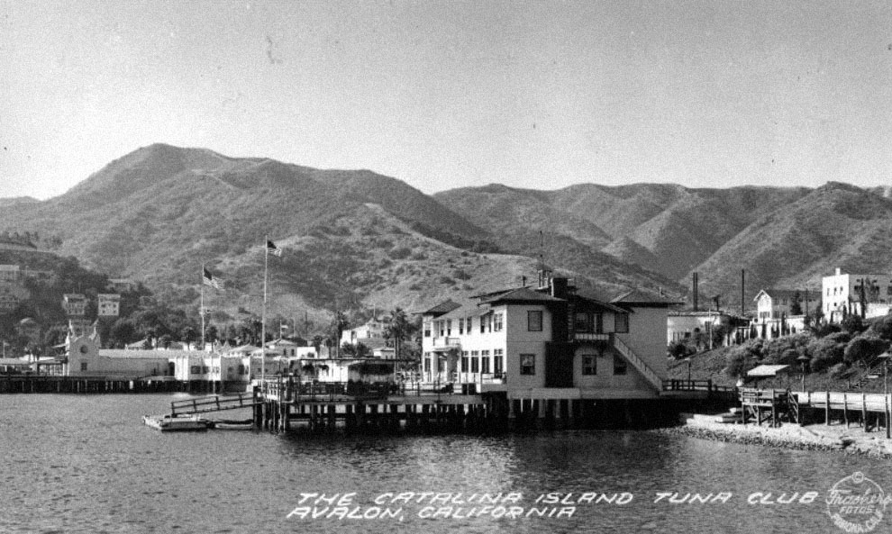 |
|
| (1938)* – Postcard view of the Catalina Island Tuna Club, also known as the Avalon Tuna Club. |
Historical Notes By the time this postcard view was produced in 1938, the Tuna Club had already been part of Avalon’s waterfront for four decades. The 1916 clubhouse had become one of the island’s most recognizable buildings, with its white exterior, green trim, and distinctive position overlooking Avalon Bay. Inside were mounted fish, photographs, trophies, and records documenting some of the most celebrated catches in the history of Pacific sportfishing, including early records for tuna, marlin, and broadbill swordfish. The Tuna Club’s historic importance has since been recognized at both the state and national level. The clubhouse was added to the National Register of Historic Places on April 2, 1991, and is also designated California Historical Landmark No. 997. In 1974, the building appeared in the motion picture Chinatown, where it was portrayed as the fictional “Albacore Club.” More than a century after its founding, the Tuna Club remains active today and continues to uphold the conservation minded sportfishing principles established by its founders in 1898. |
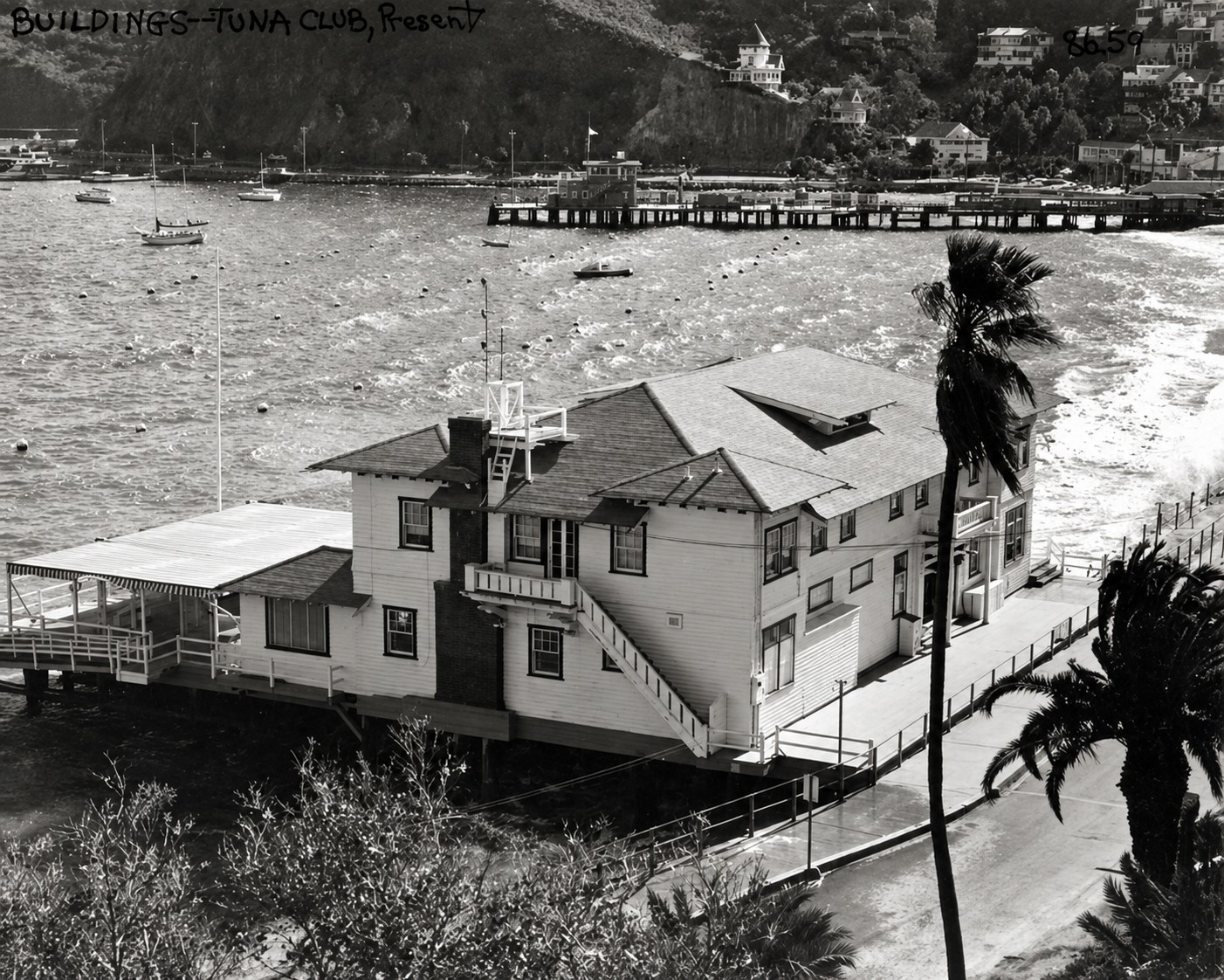 |
|
| (1984)* - View showing the Tuna Club of Avalon, located at 100 St. Catherine Way. Holly Hill House can seen in the distance. |
Historical Notes This 1984 view captures two of Avalon’s most important surviving landmarks from the island’s early resort era. The Tuna Club building seen here is the 1916 replacement clubhouse constructed after the devastating 1915 Avalon fire destroyed the original 1908 structure along with much of the waterfront district. Built in the Craftsman style and extending over Avalon Bay on pilings, the clubhouse remained closely associated with the traditions of big game sportfishing established by the organization’s founders nearly a century earlier. Visible on the hillside in the distance is Holly Hill House, built in 1890 by retired Pasadena engineer Peter Gano. Together, the Tuna Club and Holly Hill House provide a remarkable visual connection to Avalon’s earliest years, surviving through the Banning era, the Wrigley transformation, wartime occupation, and the modern tourism period visible here. Few scenes along Avalon Harbor preserve such a direct link between Catalina’s nineteenth century beginnings and the island community that exists today. |
* * * * * |
Views of Avalon Bay |
Avalon Bay is the geographic and social heart of Santa Catalina Island, the crescent shaped harbor that has welcomed visitors since George Shatto laid out the town of Avalon in 1887. Nearly every major chapter in the island’s modern history unfolded along this shoreline, from the arrival of the Banning brothers and their steamship operations to the devastating 1915 fire and the sweeping improvements introduced by William Wrigley Jr. during the 1920s. The two photographs in this section capture Avalon during a period of enormous change, from the modest resort town of the early 1900s to the fully developed Wrigley era waterfront of the 1930s. |
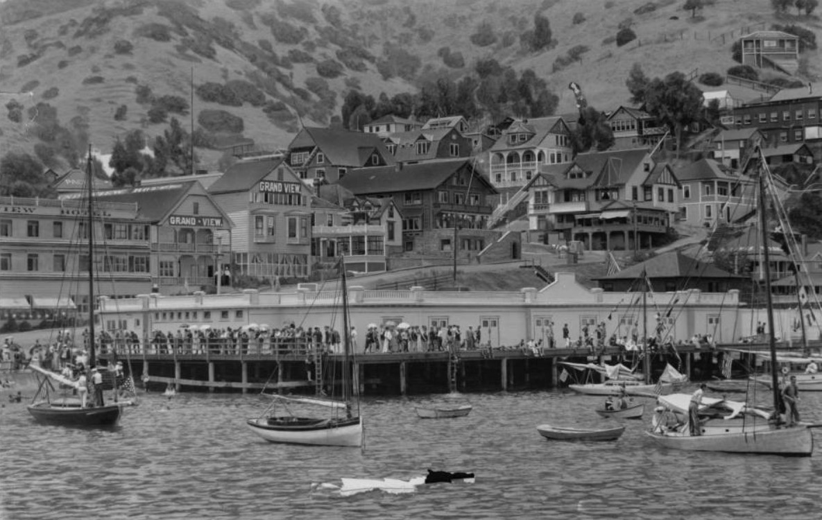 |
|
| (ca. 1905)* - View of Avalon Bay showing crowds gathered around the Avalon Bath House built over the waterfront on pilings near the center of the image. Small sailing vessels fill the harbor in the foreground, while the Grand View Hotel appears at left among the growing collection of hotels, cottages, and commercial buildings that lined Avalon’s shoreline during the Banning era. |
Historical Notes When this photograph was taken around 1905, Avalon had already become one of Southern California’s leading seaside resorts. The Banning brothers, who acquired Santa Catalina Island in 1891, transformed the small settlement into a thriving tourist destination by operating steamship transportation, hotels, bathhouses, restaurants, and entertainment facilities. Visible at left is the Grand View Hotel, one of several major hotels built along Crescent Avenue to accommodate the growing stream of visitors arriving daily from Los Angeles and San Pedro. The large waterfront structure near the center of the image is believed to be the Avalon Bath House, one of the town’s most popular gathering places during the early resort era. Built over the bay on pilings, the Bath House served swimmers, sightseers, and beachgoers at a time when nearly all public activity in Avalon centered around the waterfront. Much of the scene shown here disappeared after the catastrophic Avalon fire of November 1915, which destroyed roughly half the town, including the Bath House, Grand View Hotel, Hotel Metropole, the original Tuna Club, and many nearby waterfront structures. The Avalon rebuilt after the fire became a more modern town and would soon undergo even greater transformation under William Wrigley Jr. |
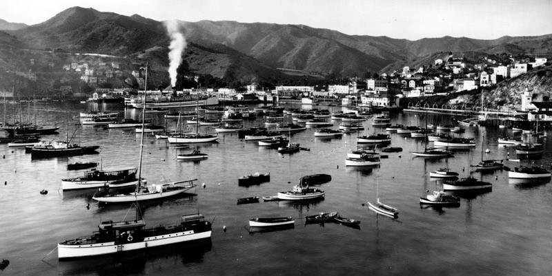 |
|
| (1933)* – Panoramic view showing a multitude of boats in Avalon Bay, including a steamship docked at the pier. Small houses as well as various tourist oriented businesses and office buildings appear close to the shoreline, with several larger apartment complexes nestled in the hills farther away. |
Historical Notes By 1933, Avalon Bay had been dramatically reshaped by the vision and investment of William Wrigley Jr. The Catalina Casino, completed in 1929, dominates the northern shoreline and had already become the island’s defining landmark. Extending into the harbor is the Cabrillo Mole, completed in 1920 to serve as Avalon’s primary passenger dock and breakwater. The steamship visible at the Mole was likely either the S.S. Avalon or the S.S. Catalina, vessels that carried thousands of passengers between the mainland and Catalina during the height of the island’s resort era. This view also captures Avalon during the early years of the Great Depression. Although economic conditions were difficult across much of the country, Catalina remained one of Southern California’s most popular destinations. Following William Wrigley Jr.’s death in 1932, management of the island passed to his son Philip K. Wrigley, who continued improving Avalon’s waterfront and tourist facilities. During the 1930s, Crescent Avenue was redesigned with palm trees, decorative walkways, fountains, and the curved seawall that still defines much of Avalon’s appearance today. |
* * * * * |
Zane Grey’s Catalina Retreat |
Rising above the waterfront on the eastern side of Avalon Bay, the hills overlooking Crescent Avenue became home to some of the island’s most recognizable landmarks during the 1920s. Among them were the Pueblo home of author Zane Grey and the Chime Tower presented to Avalon by the Wrigley family. Together, these landmarks helped give Avalon’s hillside its distinctive character and remain closely tied to the island’s cultural identity today. |
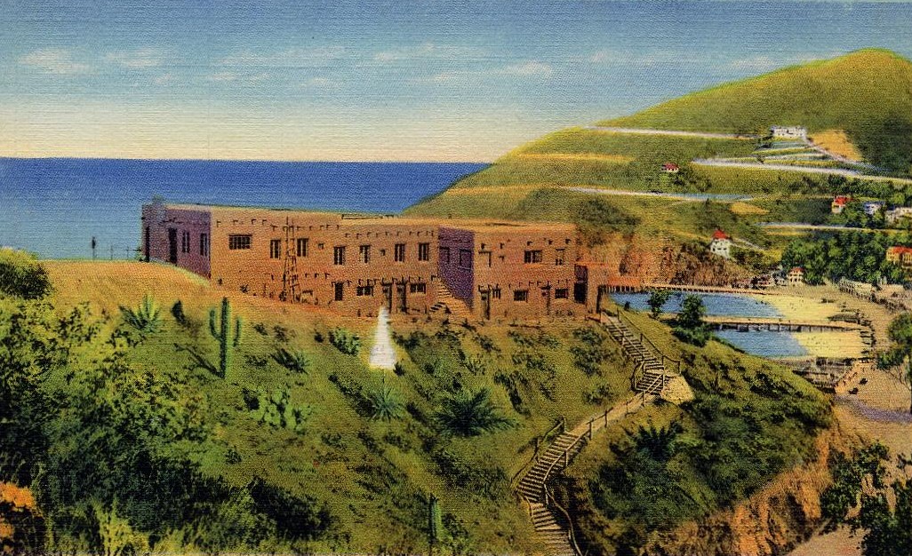 |
|
| (ca. 1929)* – Postcard view showng Zane Grey’s adobe house in the hills above Avalon Bay, Catalina Island. |
Historical Notes Born Pearl Zane Grey in Zanesville, Ohio in 1872, Zane Grey trained as a dentist before turning to writing full time. His 1912 novel Riders of the Purple Sage became one of the most successful Western novels ever published and helped establish the modern Western genre in American literature. Grey first visited Catalina Island in 1905 during his honeymoon and quickly developed a lifelong attachment to the island, returning regularly for both writing and deep sea fishing. Between 1924 and 1926, Grey built the Pueblo style home seen here overlooking Avalon Bay. Inspired by the architecture of the American Southwest, the multi level adobe residence featured flat roofs, heavy timber beams, and broad terraces facing the harbor. Grey was also deeply involved in big game fishing and became an active member, and later president, of Avalon’s Tuna Club. In 1926, the same year his home was completed, he landed a then record 582 pound broadbill swordfish off Catalina. Following Grey’s death in 1939, the Pueblo was eventually converted into a hotel and today operates as the Zane Grey Pueblo Hotel. |
The Chime Tower
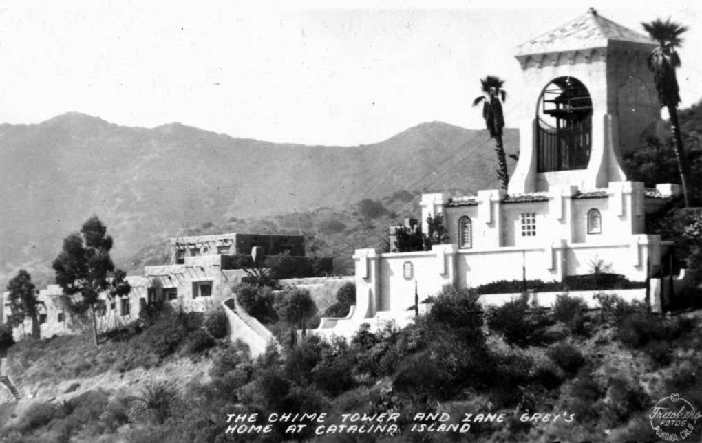 |
|
| (1939)* – View showing the Chime Tower and Zane Grey’s home at Catalina Island. |
Historical Notes The Chime Tower rising above Avalon was presented to the town in 1925 by Ada Wrigley, wife of William Wrigley Jr. Positioned high on the hillside overlooking Avalon Bay, the tower was designed so its bells could be heard throughout much of the community. Since 1925, the chimes have marked the quarter hour between 8:00 a.m. and 8:00 p.m., becoming a familiar part of daily life for both residents and visitors. This 1939 photograph captures the Chime Tower and Zane Grey’s Pueblo together on the hillside above Avalon Bay. The image was taken the same year Grey died and preserves two of Avalon’s best known landmarks during the height of Catalina’s resort era. The Chime Tower remains one of the island’s most beloved historic features and reflects the Wrigley family’s long tradition of contributing civic improvements to Avalon, including the Casino, Cabrillo Mole, seawall, parks, and public gathering spaces that helped shape the town’s modern appearance. |
* * * * * |
Boos Bros. Cafeteria |
Among the businesses that flourished in Avalon during the Wrigley era, few were as recognizable as Boos Bros. Cafeteria. Founded in 1906 by four Ohio-born brothers who migrated west to Southern California, the chain grew into one of the most successful cafeteria operations in early Los Angeles. Their Avalon location, situated at the corner of Crescent Avenue and Metropole Avenue, became a familiar gathering place for both island residents and the thousands of tourists arriving daily by steamship from the mainland.Located near the waterfront, major hotels, excursion offices, and Avalon’s busy commercial district, Boos Bros. occupied a central role in the island’s social life during the 1920s and 1930s. The cafeteria offered inexpensive meals, quick service, and a dependable stop for visitors exploring Avalon Bay during Catalina’s golden age as Southern California’s premier island resort. |
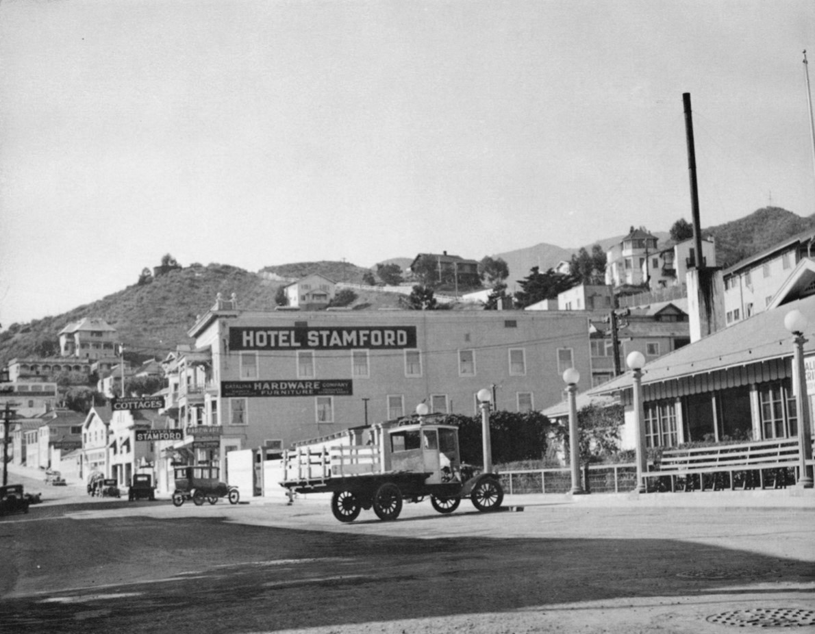 |
|
| (1920s)* – View showing the west side of the 100 block of Metropole Avenue in Avalon. Pictured are the Hotel Stamford, Catalina Hardware Company, the Hermosa Hotel and Cottages, and the Boos Bros. Cafeteria on the right with the multiple streetlamps in front. |
Historical Notes The story of Boos Bros. Cafeteria began in Moscow, Ohio, where brothers Horace, Cyrus, Henry, and Orlando Boos — who later became known as John — spent their early years before eventually relocating west to Southern California. In August 1906, the brothers opened their first cafeteria at 211 West Second Street in downtown Los Angeles. At a time when traditional full service restaurants still dominated the dining industry, the Boos brothers introduced the relatively new concept of cafeteria style self service dining, where customers selected their own meals, carried their trays, and returned dishes afterward. The idea proved efficient, affordable, and immediately successful. By the mid 1920s, the Boos Bros. chain had expanded to six downtown Los Angeles cafeterias in addition to the Avalon location seen here. Together, the restaurants reportedly served nearly ten million meals annually during the company’s peak years. The Avalon cafeteria became the chain’s only location outside Los Angeles and occupied a prominent place within Avalon’s growing waterfront business district beside the Hotel Stamford, the Hermosa Hotel, and the Catalina Hardware Company. Horace Boos died in 1926, and the following year the remaining brothers sold the entire chain to the Childs Corporation of New York for a reported $8 million, one of the largest restaurant transactions of its time. During the Depression years, several former Boos cafeterias were later acquired by Clifford E. Clinton and became early Clifton’s Cafeterias. Henry Boos eventually reacquired both the Hill Street cafeteria in Los Angeles and the Avalon location, continuing to operate them under the Boos family name for many years afterward. |
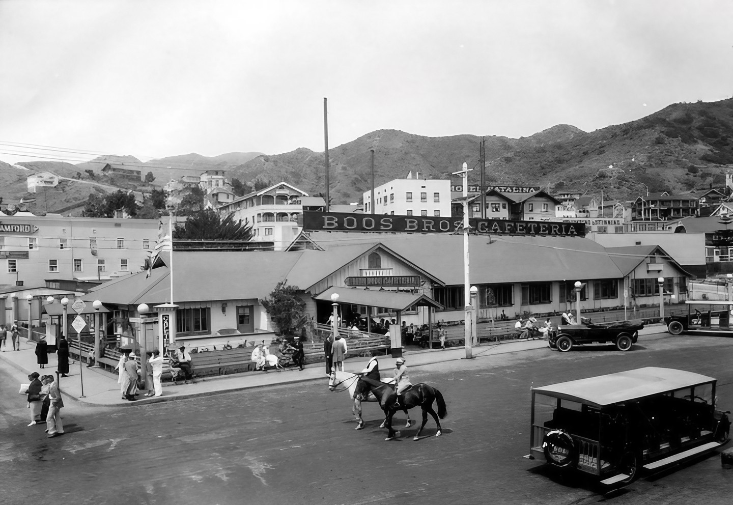 |
|
| (ca. 1930)* - View showing the Boos Bros. Cafeteria, located on the corner of Crescent Ave. and Metropole Ave. in Avalon. Several people can be seen sitting on the long wooden benches, possibly waiting to enter the cafeteria, while others walk along the sidewalk. Two women riding horses share the street with cars and buses. |
Historical Notes The corner of Crescent Avenue and Metropole Avenue was one of Avalon’s busiest gathering places during the resort season, and Boos Bros. Cafeteria benefited greatly from its central waterfront location. The long wooden benches visible outside the restaurant became a familiar sight to generations of island visitors waiting for tables, resting between excursions, or simply watching the constant activity along Avalon’s main boulevard. The cafeteria became especially well known for its inexpensive meals, including its widely advertised “40 cent dinner,” which appealed to the steady stream of day trippers arriving daily by steamship from San Pedro and Wilmington. During the summer months, thousands of visitors passed through this intersection on their way to Avalon’s beaches, hotels, bathhouses, excursion boats, and waterfront attractions. This photograph also captures Avalon during a transitional period when horses, automobiles, buses, and pedestrians still comfortably shared the town’s streets. The two women riding horseback alongside motor vehicles reflect the relaxed and informal atmosphere that distinguished Avalon from many mainland resort communities during the early twentieth century. Despite changing ownership during the Depression years, the Avalon cafeteria continued operating under the Boos name after Henry Boos reacquired the location, remaining one of the island’s most recognizable dining establishments throughout much of Catalina’s resort era. |
* * * * * |
The Beach at Avalon |
The beach at Avalon Bay was the reason many visitors came to Catalina Island, and during the 1930s it was often spectacularly crowded. On busy summer weekends, the SS Catalina and SS Avalon together could deliver more than four thousand passengers in a single day from San Pedro and Wilmington. Many arrived for only a few hours, planning to spend the day swimming, sunbathing, strolling Crescent Avenue, and enjoying the island atmosphere before boarding the last steamer back to the mainland that evening.These photographs capture Avalon during the height of its Wrigley-era popularity. Hotels, cafes, bathhouses, excursion offices, souvenir shops, and beaches all existed within a compact waterfront district surrounding Avalon Bay. The combination of easy steamship access, mild coastal weather, and a relaxed resort atmosphere helped make Catalina one of Southern California’s most popular vacation destinations during the early twentieth century. |
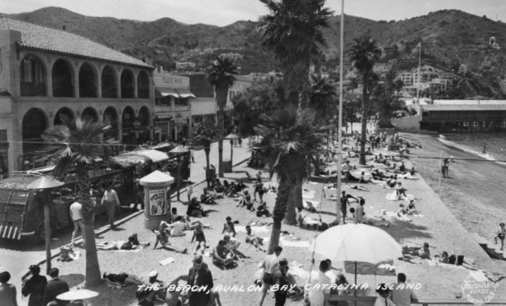 |
|
| (1931)* – Postcard view showing a packed summer beach at Avalon Bay, with the newly completed Catalina Casino visible at the north end of the harbor. |
Historical Notes By 1931, Avalon Bay had become one of the most recognizable resort scenes in California. The Catalina Casino, completed in May 1929, stood prominently at the north end of the harbor and quickly became the island’s defining landmark. At the same time, the steamships SS Catalina and SS Avalon were making multiple daily crossings from the mainland, bringing thousands of visitors to the island during the busy summer season. Many came only for the day, spending a few hours on the beach before returning home on the evening steamer. The narrow crescent of sand visible here stretched along Crescent Avenue in the center of Avalon’s waterfront district. Behind the beach stood hotels, cafes, bathhouses, arcades, and souvenir shops serving the steady flow of tourists arriving from Southern California. By the early 1930s, beach culture had become far more relaxed and informal than the Victorian era resort traditions that had shaped Avalon during the late nineteenth century. Swimming, sunbathing, and mixed-gender beach recreation had become widely accepted parts of California leisure culture, and Catalina stood at the center of that transformation. This photograph also captures Avalon shortly before major changes reshaped the waterfront. Following the death of William Wrigley Jr. in 1932, his son Philip K. Wrigley undertook a redesign of Crescent Avenue that added the serpentine seawall, decorative Catalina tile fountains, palm-lined walkways, and landscaped promenade that would define Avalon’s appearance for decades afterward. In 1931, however, the beach itself remained the focal point of Avalon Bay — crowded, informal, and filled with visitors enjoying the simple experience of a summer day on Catalina Island. |
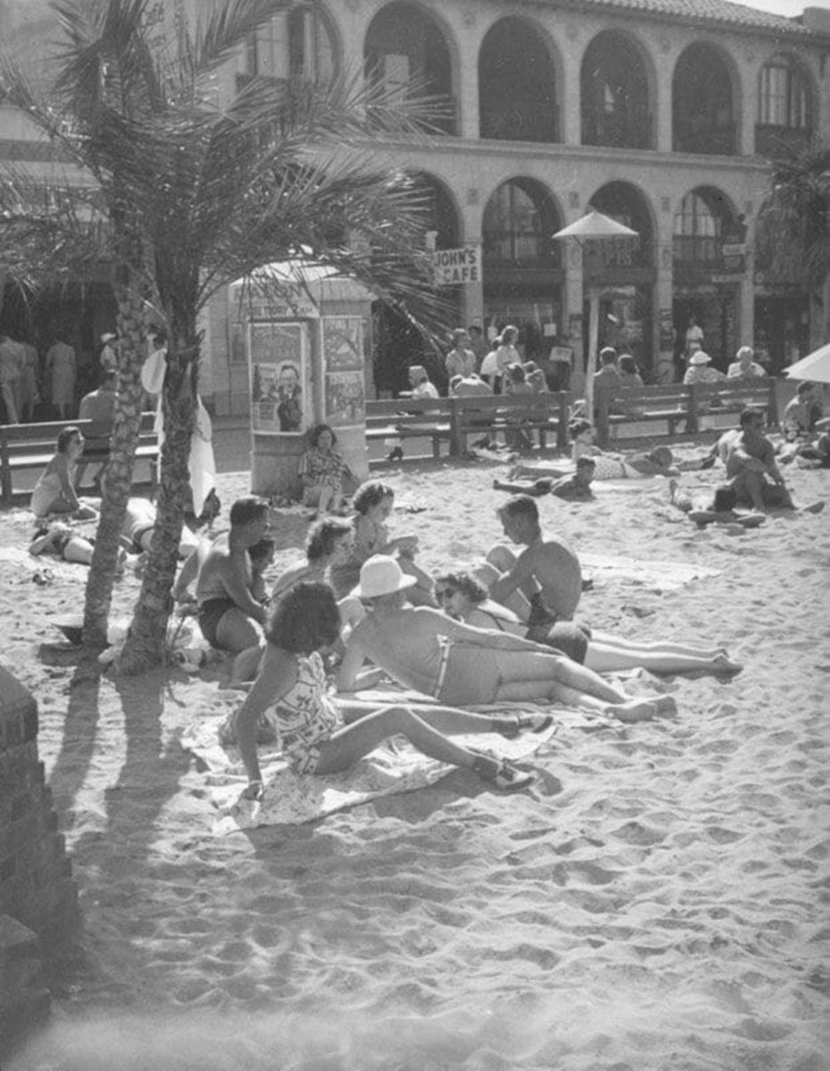 |
|
| (1930s)* - The beach area near John’s Cafe in Avalon Bay on Catalina Island. |
Historical Notes John’s Cafe was one of many small restaurants, lunch counters, and refreshment stands that operated along Crescent Avenue and the surrounding waterfront district during Avalon’s busiest tourist years. Establishments like this formed an important part of the island’s day-trip economy, serving visitors arriving from the mainland for swimming, sightseeing, boating excursions, and beach recreation. Most were modest operations that left little historical documentation behind, yet they played a central role in the daily rhythm of Avalon’s waterfront life. The beach visible here was part of the same narrow public shoreline seen in the earlier postcard view, running directly alongside the commercial activity of Front Street and Crescent Avenue. Avalon’s compact layout allowed visitors to move easily between the beach, cafes, excursion piers, hotels, and amusement attractions, creating the relaxed and highly walkable resort atmosphere that distinguished Catalina from many mainland beach communities. This photograph also preserves a view of Avalon just before Philip K. Wrigley’s 1934 waterfront redesign gave Crescent Avenue a more formal appearance. The wooden benches, striped awnings, informal storefronts, and close relationship between the cafes and the beach reflect an earlier version of Avalon that many longtime visitors remembered most fondly — a smaller, less structured resort town where the beach and the town itself blended naturally together along the harbor. |
* * * * * |
El Encanto — Promenade of Enchantment |
When Philip K. Wrigley assumed control of the Santa Catalina Island Company following the death of his father in January 1932, he inherited far more than a resort island — he inherited the opportunity to redefine Avalon’s identity. Where William Wrigley Jr. had focused primarily on infrastructure and tourism development, Philip concentrated on atmosphere, aesthetics, and cultural presentation. One of his chief inspirations was Olvera Street, the celebrated Mexican marketplace in downtown Los Angeles that had become enormously popular after its 1930 revival under Christine Sterling.The result was El Paseo de El Encanto — “Promenade of Enchantment” — dedicated in August 1933 near Avalon’s waterfront at 163 Crescent Avenue. Combining Spanish Colonial Revival architecture, tiled fountains, shaded courtyards, shops, restaurants, artisans, and live entertainment, El Encanto became one of the defining visual and social landmarks of Wrigley-era Avalon. More than a shopping district, it was carefully designed to immerse visitors in a romanticized vision of old California and old Mexico, helping distinguish Catalina from competing Southern California beach resorts during the Depression years. |
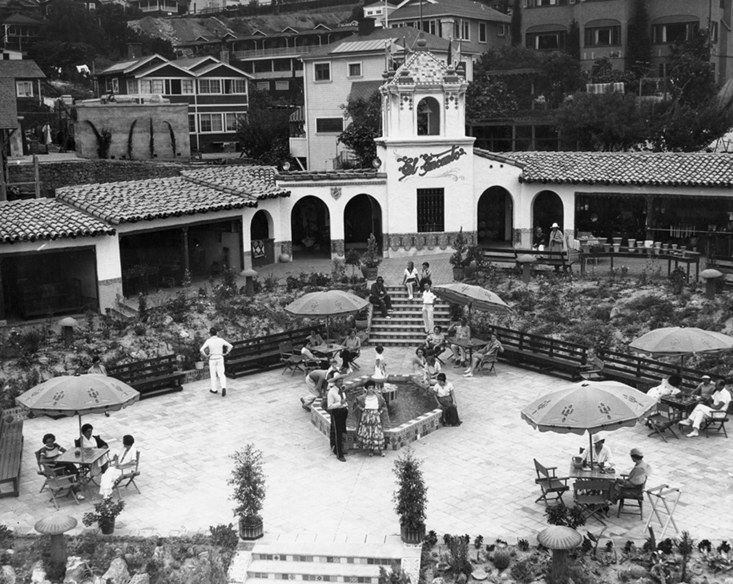 |
|
| (1930s)* - El Encanto Cafe and Shops with fountain and open air patio, Avalon. |
Historical Notes El Paseo de El Encanto — the Promenade of Enchantment — opened in August 1933 as the centerpiece of Philip K. Wrigley’s effort to give Avalon a unified early California identity. Wrigley modeled the development directly after Olvera Street, the popular Mexican marketplace in downtown Los Angeles that had captured public attention only a few years earlier. Like Olvera Street, El Encanto was designed as an open-air collection of cafes, artisan stalls, shaded arcades, fountains, and specialty shops intended to evoke the atmosphere of old Spanish and Mexican California. Located only steps from Avalon’s steamship landing, the marketplace quickly became one of the first destinations encountered by arriving visitors. The broader visual identity introduced at El Encanto soon expanded across Avalon through the work of designers Otis and Dorothy Shepard, the husband and wife team Philip Wrigley brought to the island during the mid 1930s. The Shepards helped systematize Avalon’s evolving Spanish Colonial and early California appearance through coordinated signage, decorative lighting, tiled fountains, landscaping, employee uniforms, and the now famous green color scheme used along the Pleasure Pier and waterfront. Many of Avalon’s most recognizable design elements during the prewar years grew directly out of the aesthetic direction first introduced at El Encanto. El Encanto also reflected the growing influence of Avalon’s Mexican-American community during the early twentieth century. Mariachi musicians, artisans, restaurant operators, and entertainers helped bring life and authenticity to the marketplace atmosphere Philip Wrigley hoped to create. Visitors arriving by steamship often encountered live music almost immediately upon stepping ashore, reinforcing the carefully staged sense of place that became central to Avalon’s identity during the 1930s. |
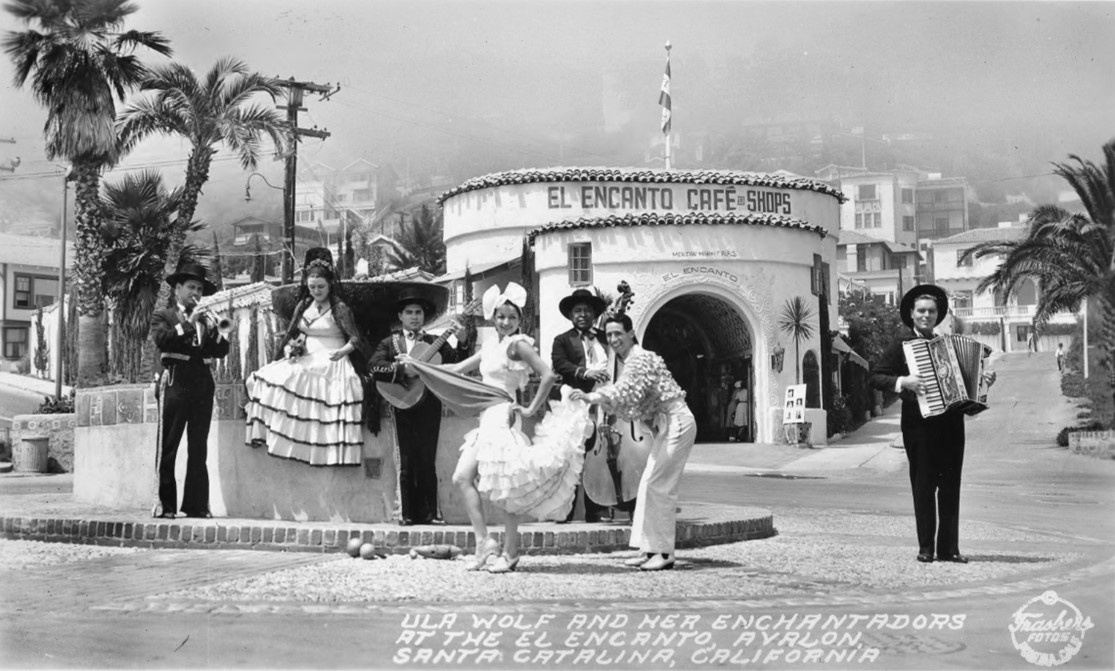 |
|
| (1938)* - Ula Wolf and her Enchantadors at the El Encanto, Avalon, Santa Catalina, California. |
Historical Notes By 1938, El Encanto had become one of Avalon’s principal entertainment and social centers. Live performances were an essential part of the marketplace atmosphere, with strolling troubadours, magicians, puppeteers, musicians, and specialty acts regularly appearing throughout the courtyard during the busy tourist season. Ula Wolf and her Enchantadors, seen here performing at El Encanto, were among the many musical groups hired to help create the lively and theatrical environment that distinguished Avalon from ordinary commercial shopping districts. The marketplace that visitors encountered during the late 1930s combined architecture, music, dining, shopping, and public gathering spaces into a carefully choreographed resort experience. Tiled fountains, striped awnings, decorative courtyards, shaded walkways, and the sounds of live music all contributed to the atmosphere Philip K. Wrigley envisioned for Avalon during the island’s peak prewar years. The line between entertainment, tourism, and everyday commercial activity was intentionally blurred, allowing El Encanto to function simultaneously as a shopping district, performance space, and public plaza. Within only a few years, however, World War II would dramatically interrupt Avalon’s tourist economy. Catalina Island was closed to most civilian visitors during the war, and many of the elaborate entertainment traditions associated with El Encanto gradually faded afterward. Although the marketplace continued operating in the postwar era with restaurants, gift shops, and commercial businesses, the highly theatrical atmosphere of the 1930s was never fully recreated. Even so, El Encanto remained one of Avalon’s most distinctive architectural and cultural landmarks, and many of the design themes first introduced there continued shaping Avalon’s appearance for decades afterward. |
* * * * * |
The St. Catherine Hotel |
Of all the buildings made necessary by Avalon’s devastating 1915 fire, none was more ambitious than the St. Catherine Hotel. Constructed in Descanso Canyon just beyond Avalon Harbor, the hotel opened on June 28, 1918, as the Banning brothers’ grand attempt to rebuild Catalina’s tourist economy after the fire destroyed roughly half the town, including the Hotel Metropole and many of Avalon’s principal waterfront attractions.For nearly half a century, the St. Catherine Hotel stood among the most elegant resort destinations on the California coast. With its private beach, waterfront setting, secluded canyon location, and private pier extending into Descanso Bay, the hotel offered guests a quieter and more exclusive alternative to Avalon’s busy waterfront district. The two postcard views in this section capture the St. Catherine during the late 1930s at the height of its prominence under Wrigley ownership. |
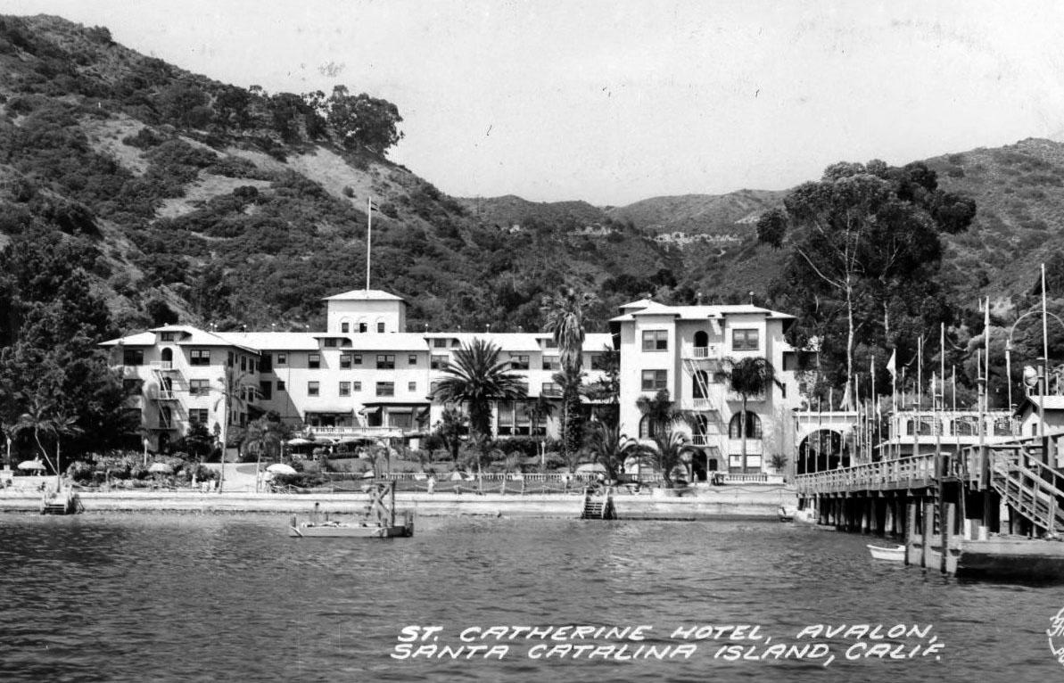 |
|
| (1938)* - Postcard view of the St. Catherine Hotel in Descanso Canyon as seen from the water, with the hotel’s private pier extending into the bay. |
Historical Notes On November 29, 1915, a catastrophic fire swept through Avalon and destroyed roughly half the town, including the Hotel Metropole, the original Tuna Club clubhouse, bathhouses, shops, and numerous waterfront buildings. The disaster severely damaged the finances of the Santa Catalina Island Company and forced the Banning brothers to seek outside investment in order to rebuild the island’s tourist facilities. To restore lost hotel capacity and revive Avalon’s resort economy, the Bannings secured approximately $850,000 in financing and began plans for a grand new hotel in nearby Descanso Canyon. The site selected for the hotel had previously been occupied by Hancock Banning’s summer residence, built in 1895. Rather than demolish the home, it was relocated to the north side of Descanso Canyon in January 1918 to clear space for construction. Built by the Milwaukee Building Company under the supervision of Hancock and Captain William Banning, the St. Catherine Hotel officially opened on June 28, 1918. Its massive dining room could accommodate approximately 1,200 guests, making it the largest resort hotel Catalina had yet seen. One of its most distinctive features was the private dock visible in this photograph, which allowed guests arriving by yacht or launch to step directly onto the hotel grounds without passing through Avalon’s public waterfront district. When William Wrigley Jr. purchased the Santa Catalina Island Company in 1919, the St. Catherine Hotel became part of the acquisition. Wrigley soon expanded the property by adding additional guest rooms, enlarging the grounds, and installing a swimming pool. According to contemporary accounts, Wrigley himself became the hotel’s first celebrity guest, staying there during his initial visit to Catalina before fully touring the island he had just purchased. Under Wrigley ownership, the St. Catherine evolved into one of Catalina’s premier luxury resorts during the 1920s and 1930s. |
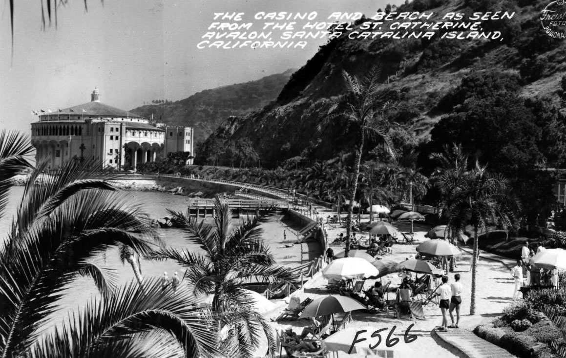 |
|
| (1938)* – Postcard view of the Casino and beach as seen from the Hotel St. Catherine in Descanso Canyon. |
Historical Notes This view from the St. Catherine Hotel grounds captures two of Catalina Island’s best known landmarks in the same frame: the St. Catherine Hotel in Descanso Canyon and the Catalina Casino overlooking Avalon Bay. Completed in 1929, the Casino quickly became the visual centerpiece of Avalon’s waterfront, while the St. Catherine offered guests a more secluded resort experience only a short distance away along the shoreline path connecting Descanso Bay with Crescent Avenue. On quiet evenings, music from the Casino ballroom could reportedly be heard drifting across the water toward the hotel grounds. During the late 1930s, the St. Catherine Hotel ranked among the most prestigious resort properties on the California coast. Its guests included Hollywood celebrities, entertainers, wealthy vacationers, and prominent public figures who valued both the hotel’s privacy and its dramatic coastal setting. Dining rooms featured Catalina Pottery and meals often incorporated produce grown locally on the island, reinforcing the resort’s distinct Catalina identity. World War II brought the hotel’s golden age to an abrupt interruption. Civilian tourism to Catalina largely ceased during the war, and the Merchant Marines occupied portions of the St. Catherine Hotel for wartime training operations on the island. Although the hotel reopened after the war, changing travel patterns, aging facilities, and growing competition from newer mainland resorts gradually reduced its prominence. The St. Catherine Hotel closed permanently in 1963, and demolition began on February 12, 1966. Today, the site is occupied by the Descanso Beach Club, though the hotel remains one of the most fondly remembered landmarks in Catalina history. |
* * * * * |
The Catalina Casino |
When the Catalina Casino opened on May 29, 1929, it immediately became the defining image of Avalon Harbor and one of the most recognizable resort buildings on the California coast. Constructed under the direction of William Wrigley Jr. at a final cost approaching $2 million, the massive circular structure rose from the site of the former Sugarloaf Point at the north end of Avalon Bay, dramatically reshaping the island’s waterfront skyline. Although the word “casino” today usually suggests gambling, the term originally referred to a place of gathering and entertainment — precisely the role the building was designed to serve.Designed by architects Sumner A. Spaulding and Walter Webber in a blend of Mediterranean Revival and Art Deco styles, the Casino housed a 1,184-seat motion picture theater on its lower level and a vast circular ballroom above, all surrounded by the open-air Romance Promenade overlooking Avalon Harbor and the Pacific Ocean. The structure quickly became the social and architectural centerpiece of Catalina Island, attracting tourists, celebrities, musicians, dancers, filmmakers, and dignitaries from across Southern California during the height of Avalon’s resort era. |
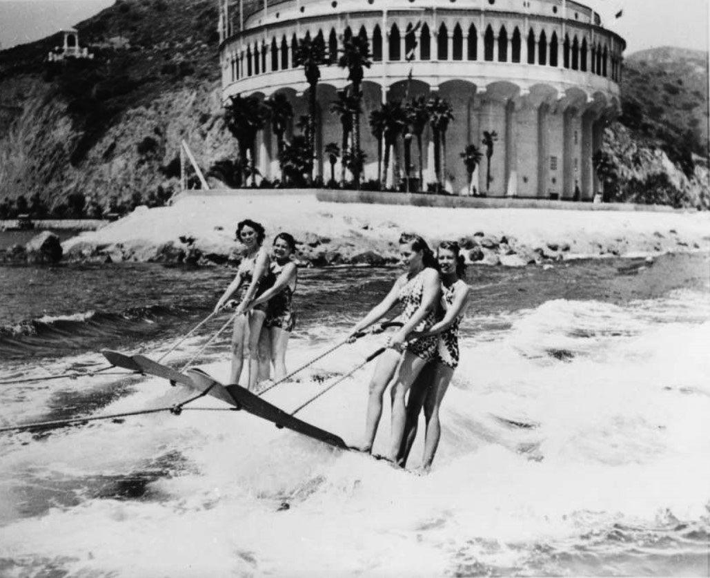 |
|
| (ca. 1930s)* – Four young women aquaplane off Avalon with the Catalina Casino rising in the background |
Historical Notes Avalon Harbor during the 1930s functioned as both a resort waterfront and a public stage. The completion of the Catalina Casino in 1929 gave the harbor a dramatic architectural backdrop, while the island’s close connection to Hollywood transformed Catalina into one of Southern California’s most fashionable recreational destinations. Water skiing, boating, swimming, dancing, and yacht excursions became closely associated with Avalon’s growing image as a glamorous island retreat during the interwar years. Scenes like this one — athletic, carefree, and framed directly beneath the Casino’s towering white facade — reflected the carefully cultivated atmosphere William Wrigley Jr. hoped to associate with Catalina Island. Hollywood personalities including Douglas Fairbanks, Ronald Colman, Charlie Chaplin, Humphrey Bogart, Clark Gable, Joan Crawford, and filmmaker Cecil B. DeMille frequently visited Avalon during this period, often arriving aboard private yachts anchored throughout the harbor. The Casino opening itself on May 29, 1929, featured a screening of Douglas Fairbanks’ The Iron Mask, immediately linking the new building to Hollywood culture and the entertainment industry. By the mid 1930s, Catalina’s summer season had become one of Southern California’s signature social traditions. Images such as this helped establish Avalon as a place where recreation, celebrity culture, architecture, and ocean scenery blended into a uniquely Californian resort experience. Before water skiing took hold, aquaplaning was the towed water sport of choice along the Southern California coast. Riders stood on wide, flat hardwood boards — resembling an oversized door or toboggan — and held a rope attached to a speeding motorboat. The sport gained popularity on the West Coast in the 1920s and quickly became a favorite attraction for Catalina visitors. Groups could share a single board, as seen here, adding to the social appeal. By 1935, the sport had grown prominent enough that the Aquaplane Race Association launched an annual 44-mile race from Catalina Island to Hermosa Beach, endorsed by the American Power Boat Association and drawing competitors from around the world. Aquaplaning faded from popularity as water skiing on narrow individual skis became the dominant towed water sport in the postwar years. |
 |
|
| (ca. 1930s)* - Catalina Casino as seen from a boat in Avalon Bay. |
Historical Notes Arrival by water at the Catalina Casino became one of the great theatrical experiences in California travel. As steamships, yachts, and excursion boats crossed Avalon Harbor, the great circular structure gradually dominated the skyline, its white exterior and red-tiled parapets reflecting across the calm waters of the bay. William Wrigley Jr. intentionally positioned the Casino at the northern edge of Avalon Harbor where Sugarloaf Rock had once stood, ensuring the building remained visible from virtually every point on the waterfront. The Casino’s lower level housed the Avalon Theatre, a technologically advanced motion picture theater designed specifically for the presentation of talking pictures. Completed during the rapid transition from silent films to sound cinema, the theater became the first purpose-built “talkie” theater in the world. Its acoustical design and technical innovations later influenced the development of major theaters elsewhere, including aspects of New York’s Radio City Music Hall. Hollywood executives including Louis B. Mayer and Samuel Goldwyn occasionally previewed productions there, further strengthening Catalina’s ties to the motion picture industry. The Casino also served an important civic role beyond entertainment and tourism. During the Cold War era, the Avalon Theatre became the island’s designated civil defense shelter, with concealed emergency supplies reportedly capable of supporting Avalon’s year-round population for approximately two weeks. Few visitors touring the glamorous building ever realized that one of Catalina’s most famous landmarks also functioned as part of the island’s emergency infrastructure. |
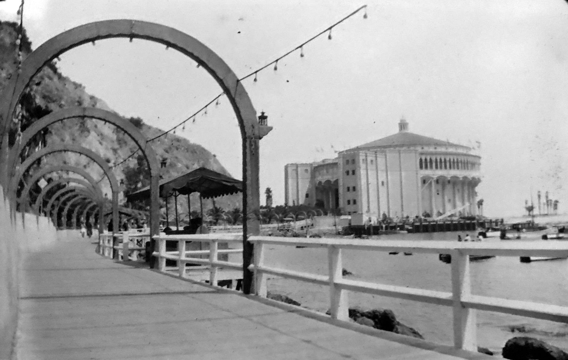 |
|
| (ca. 1930s)* – View showing the arch-lined walkway leading to the Catalina Casino from the Avalon Bay side. |
Historical Notes The graceful arcade leading toward the Catalina Casino became one of Avalon’s most photographed pedestrian spaces during the 1930s. Designed by Spaulding and Webber as part of the larger Casino complex, the arch-lined walkway guided visitors through a carefully staged transition from Avalon’s busy waterfront into the more formal architectural environment surrounding the building. Decorative tile work, white stucco walls, palm trees, harbor views, and Mediterranean-inspired detailing all contributed to the atmosphere of elegance and leisure that William Wrigley Jr. envisioned for Catalina Island. The Casino completed in 1929 was actually the second entertainment structure built on this site. An earlier dance pavilion known as the Sugarloaf Casino had occupied nearby Sugarloaf Point during the 1920s and even briefly served as Avalon’s first high school before enrollment outgrew the facility. Construction of the present Casino required both the demolition of the earlier building and the removal of Sugarloaf and Little Sugarloaf, rock formations that had long defined the northern end of Avalon Harbor. Wrigley initially estimated the project would cost approximately $600,000, but the final cost ultimately approached $2 million. The resulting complex transformed Avalon both visually and socially. More than simply a theater or ballroom, the Casino integrated promenades, entertainment venues, waterfront landscaping, plazas, and public gathering spaces into a unified architectural centerpiece that shaped Avalon’s identity for generations. |
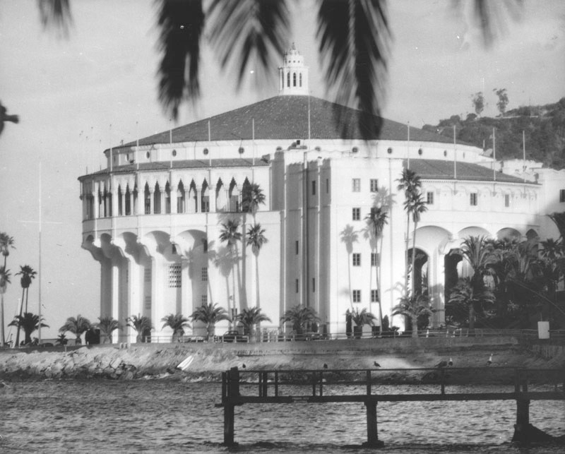 |
|
| (1977)* - Exterior view of the Catalina Casino rising above Avalon Bay, its circular form and white stucco walls reflecting the grand resort ambitions of the Wrigley era. |
Historical Notes The Catalina Casino opened on May 29, 1929, as the centerpiece of William Wrigley Jr.'s ambitious transformation of Avalon into one of Southern California's premier resort destinations. Designed by architects Sumner Spaulding and Walter Weber in a blend of Art Deco and Mediterranean Revival influences, the twelve-story circular structure rises approximately 140 feet above the harbor on the site formerly occupied by Sugarloaf Point. Surrounded by water on three sides, the Casino quickly became the island's most recognizable landmark and remains one of the best-known waterfront buildings in California. Despite its name, the Catalina Casino has never allowed gambling. The word “casino” was used in the older European sense, meaning a place of entertainment and social gathering. The building contains the Avalon Theatre, one of the first movie palaces designed specifically for sound films, and above it the world’s largest circular ballroom, featuring a 180-foot dance floor. During the big band era of the 1930s and 1940s, nationally known orchestras performed regularly in the ballroom, helping establish the Casino as one of America’s most celebrated seaside entertainment venues. |
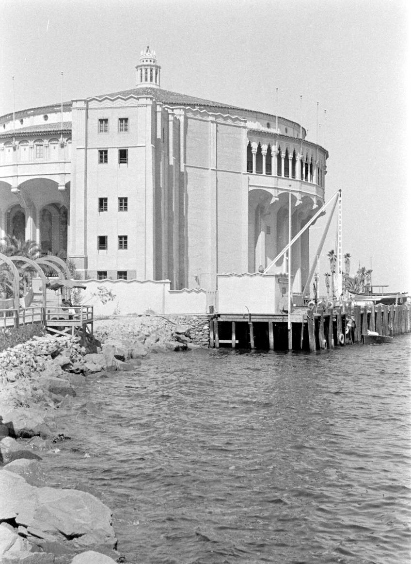 |
|
| (ca. 1930s)* – Close-up exterior view of the Catalina Casino, which rises twelve stories and houses the Avalon Theatre on its main floor and the Casino Ballroom and promenade on its upper level. Photo Credit: Life Magazine. |
Historical Notes Architects Sumner A. Spaulding and Walter Webber designed the Catalina Casino in a striking blend of Art Deco geometry and Mediterranean Revival styling. Rising approximately twelve stories above Avalon Harbor, the building combined engineering ambition with resort elegance on a scale rarely attempted in California during the period. Its circular form, enormous ballroom, and waterfront location quickly made it one of the most recognizable resort structures in the United States. The Casino’s engineering was equally ambitious. The ballroom above and theater below were constructed without interior supporting pillars, creating vast uninterrupted spaces capable of accommodating thousands of visitors simultaneously. Reinforced steel and concrete had to be transported entirely from the mainland, while more than 100,000 clay roof tiles were manufactured locally on Catalina Island specifically for the project. The building later received an Honor Award from the California Chapter of the American Institute of Architects as one of the outstanding architectural accomplishments of its era. The Avalon Theatre occupying the Casino’s lower level carried its own historic distinction. Designed from the beginning for sound motion pictures, it represented a major advance in theater acoustics and cinema engineering during the early years of the talking picture revolution. Nearly a century after its completion, the Casino remains Avalon’s defining architectural landmark and the enduring visual symbol of Catalina Island itself. |
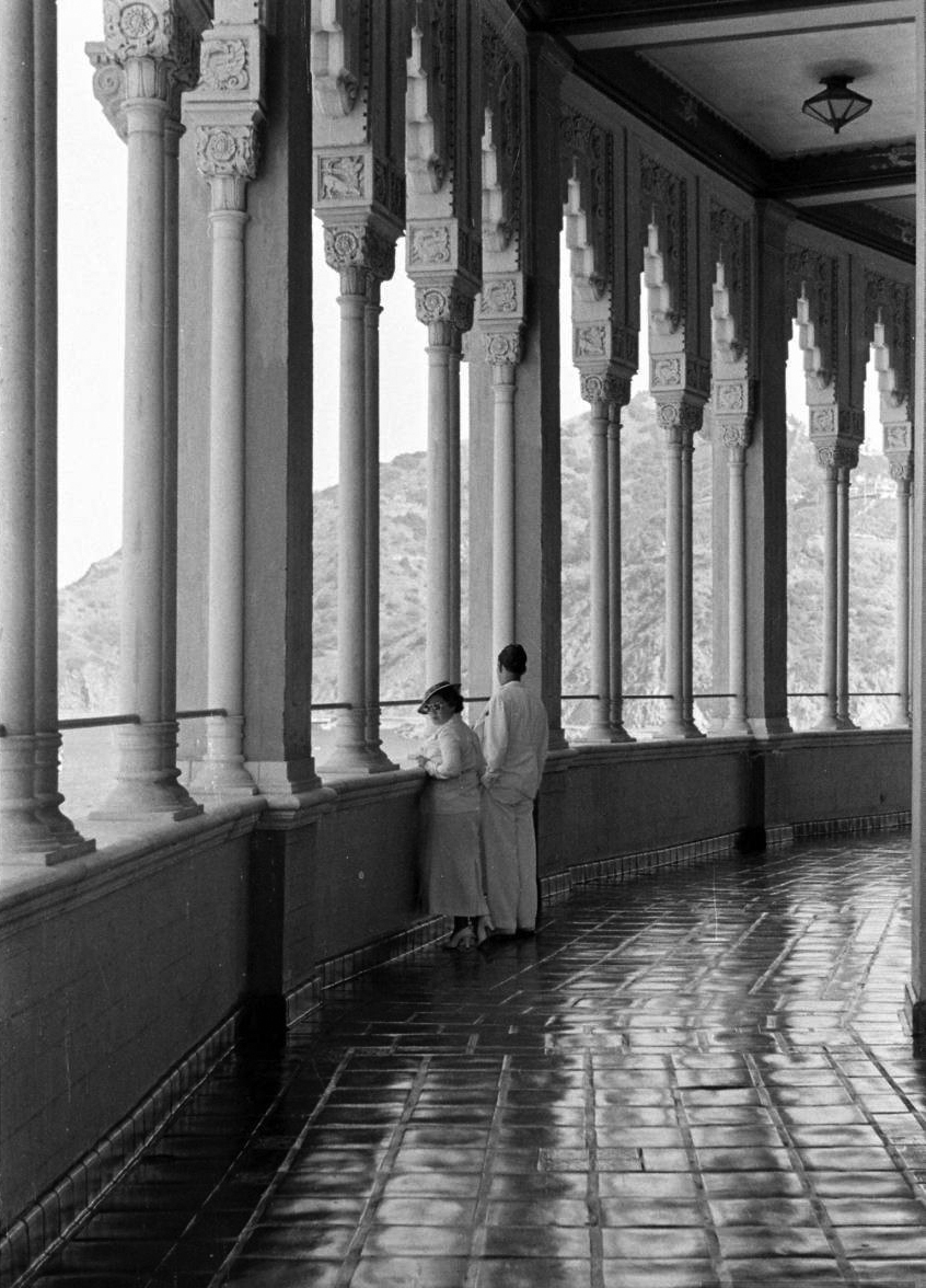 |
|
| (ca. 1930s)* – A couple stands on the balcony of Catalina Casino, looking out toward Avalon Bay. The open balcony, called the "Romance Promenade," encircles the casino building. Photo: Life Magazine. |
Historical Notes Encircling the upper level of the Catalina Casino is the open-air balcony officially known as the Romance Promenade. Connected directly to the Casino Ballroom through rows of French doors, the promenade offered dancers and theatergoers sweeping panoramic views of Avalon Harbor, the surrounding hillsides, and the Pacific Ocean beyond. The balcony quickly became one of the building’s most celebrated architectural features and helped define the Casino’s glamorous public image during the 1930s. The promenade served both practical and social purposes. During crowded summer dances, visitors frequently stepped outside for cool ocean air and relief from the packed ballroom floor while orchestras continued playing inside. The 360-degree views, harbor lights, sea breezes, and relative seclusion of the balcony made it especially popular with couples, helping inspire the Wrigley-era name “Romance Promenade.” In many ways, the architecture itself became part of the entertainment experience. During the big band era, live broadcasts from the Casino carried music from Avalon to radio audiences throughout Southern California over KHJ Radio in Los Angeles. For many mainland listeners, the sounds associated with the Romance Promenade and Casino Ballroom helped shape the romantic mythology surrounding Catalina Island long before they ever visited Avalon themselves. |
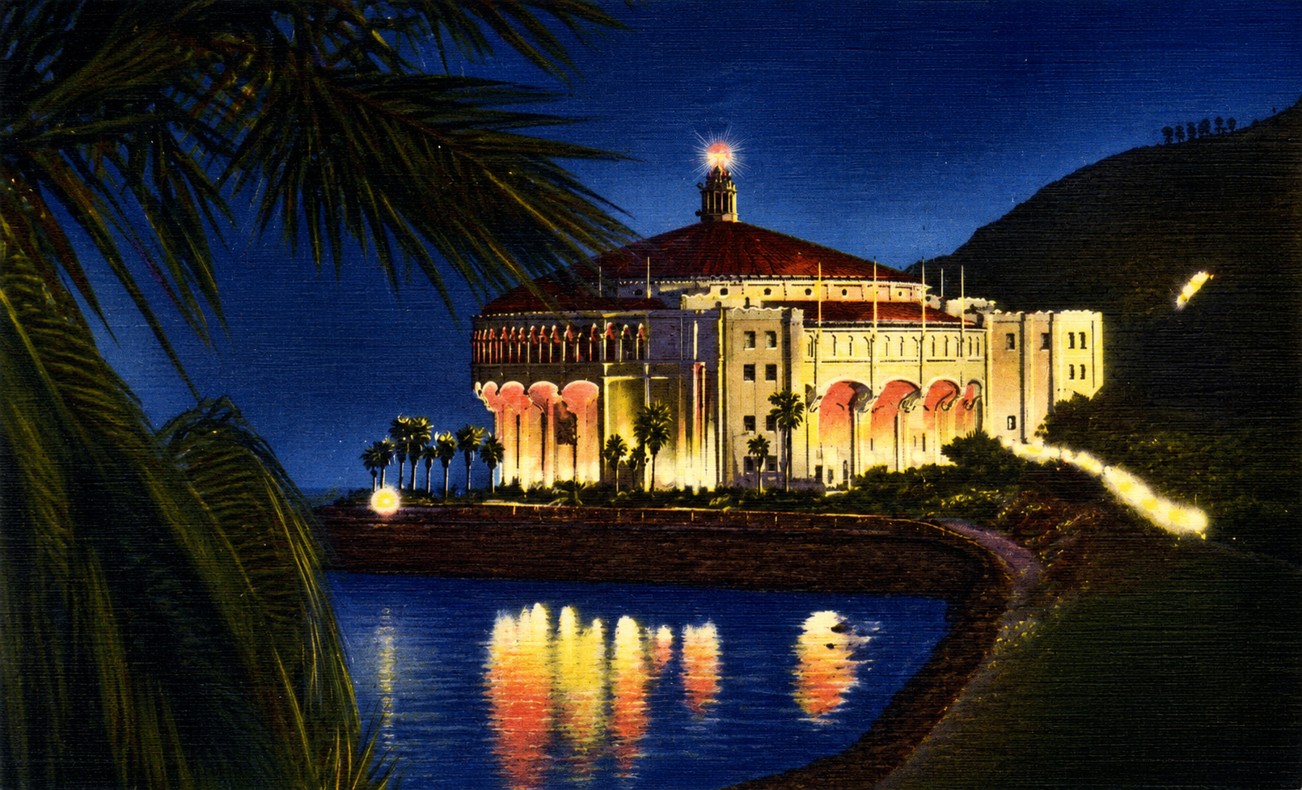 |
|
| (1935)* - Postcard night view of the picturesque Catalina Casino with lights reflecting off the bay water. |
Historical Notes At night, the Catalina Casino became one of the most dramatic resort scenes in California. Illuminated against the dark hillsides surrounding Avalon Harbor, the great circular building reflected across the calm waters of the bay in an image that appeared repeatedly in postcards, magazines, travel advertisements, and motion pictures throughout the 1930s. During the height of the big band era, orchestras led by performers such as Benny Goodman, Kay Kyser, and Harry James regularly appeared in the ballroom above while their music broadcast live across Southern California radio networks. On summer weekends, thousands of visitors crowded Avalon’s beaches, harbor, steamship landings, and waterfront promenades while the illuminated Casino served as the visual centerpiece of the entire scene. Arrivals by steamship after dark approached what appeared to be a single glowing landmark rising directly from the water, with the rest of Avalon spreading outward in smaller lights along the shoreline behind it. The experience became central to Catalina’s identity as a place that felt simultaneously glamorous, theatrical, and slightly removed from mainland California. Away from the growing urban brightness of Los Angeles, Catalina’s relative darkness intensified the Casino’s nighttime presence and helped reinforce the island’s reputation as a romantic escape only a few hours from the mainland. Few buildings in California became more closely associated with the atmosphere of prewar resort culture than the Catalina Casino after sunset. |
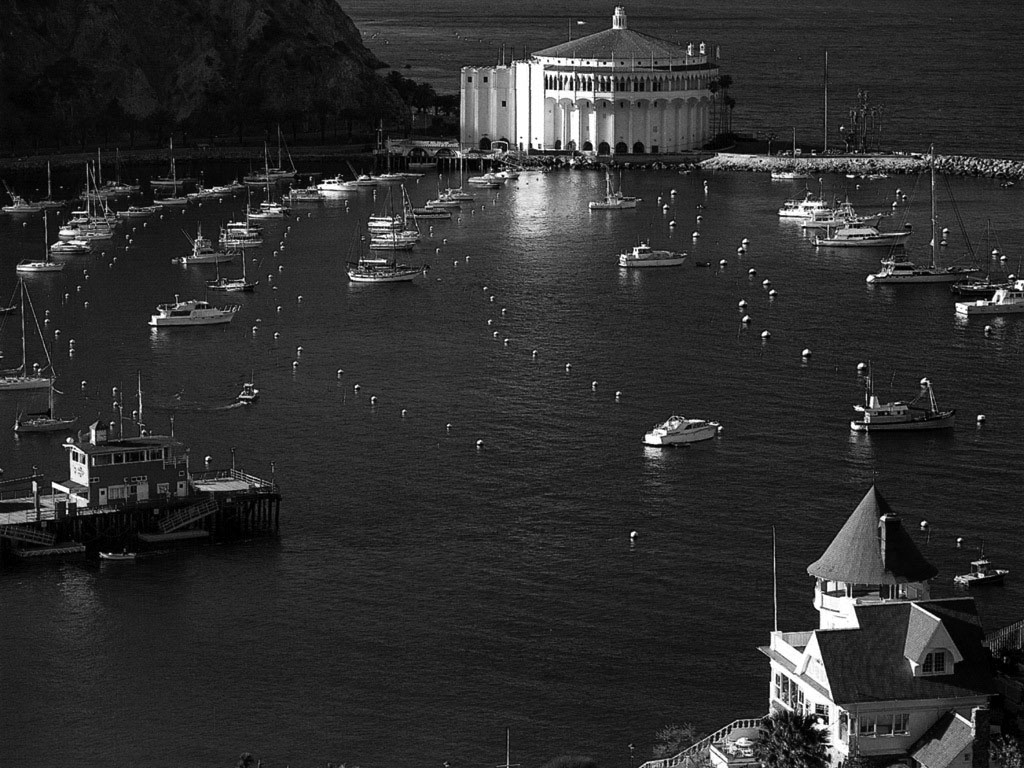 |
|
| (2010)* - View of Avalon Harbor from the south, with Holly Hill House on the hillside at lower right and the Catalina Casino across the bay. |
Historical Notes The view across Avalon Harbor in this 2010 photograph captures more than a century of Avalon history within a single frame. Holly Hill House, the distinctive Queen Anne cottage visible at lower right, was built by civil engineer Peter Gano between 1888 and 1890 after he purchased the hillside lot from developer George Shatto for $500. According to local tradition, much of the lumber used in its construction was hauled up the steep hillside with the help of a retired circus horse named Mercury, later immortalized on the home's weathervane. Listed on the National Register of Historic Places in 1983, Holly Hill House remains one of Avalon's oldest surviving homes and one of the island's best-known Victorian landmarks. Across the harbor rises the Catalina Casino, completed in 1929 on the site where Sugarloaf Point once stood near the entrance to Avalon Bay. Together, the two landmarks reflect the evolution of Avalon from a modest nineteenth-century seaside resort into the internationally known destination envisioned during the Wrigley era. More than four decades separate their construction, yet both continue to define Avalon’s shoreline and remain enduring symbols of Catalina Island’s architectural and cultural history. |
* * * * * |
The Casino Ballroom |
Above the Avalon Theatre, reached by two gently sloping ramped walkways instead of stairs, the Casino Ballroom was a room unlike any other in California. Containing 20,000 square feet of unobstructed hardwood floor beneath a soaring fifty-foot ceiling, the circular ballroom was designed to accommodate thousands of dancers at once without a single interior pillar interrupting the view across the floor. French doors surrounding the room opened directly onto the Romance Promenade and the cool ocean air beyond, creating an atmosphere that combined engineering ambition, architectural elegance, and the glamour of Avalon’s waterfront setting.During the 1930s and early 1940s, major orchestras performed regularly in the ballroom while live broadcasts carried the sounds of Catalina across Southern California over KHJ Radio in Los Angeles. For a generation of Californians, the Casino Ballroom became inseparable from the mythology of Catalina Island itself — a place of music, dancing, romance, and ocean breezes reached only after crossing the channel from the mainland. |
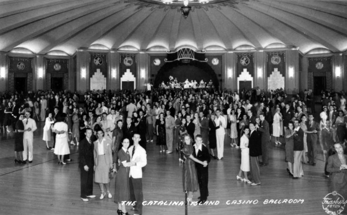 |
|
| (1939)* - Postcard view showing the huge Catalina Island Casino Ballroom floor filled with dancers. A band can be seen in the background. |
Historical Notes The Catalina Casino Ballroom occupies the entire upper level of the building — 20,000 square feet of unobstructed hardwood floor with a 180-foot diameter and no interior supporting pillars. Sources differ on the room’s maximum capacity, but current Casino estimates place it at up to 2,500 dancers at one time. The ballroom is reached not by stairs but by two enclosed ramped walkways extending outward from the circular structure, a design choice William Wrigley Jr. reportedly borrowed from Chicago’s Wrigley Field, where ramps had proven more efficient than stairways for moving large crowds. French doors surrounding the ballroom connect directly to the Romance Promenade, allowing ocean air to circulate naturally through the space while providing dancers immediate access to the harbor views outside. By 1939, when this postcard was produced, the Casino Ballroom stood at the center of Southern California’s big band culture. Performances by nationally known orchestras were broadcast live over KHJ Radio in Los Angeles, carrying the sounds of Avalon into millions of mainland homes and helping transform the Casino into one of the best-known entertainment venues on the West Coast. The ballroom’s acoustics, designed by the same architectural team responsible for the theater below, were considered among the finest in California. Dancers arriving aboard the evening steamships and departing on the first boats the following morning became a familiar part of Catalina’s weekend social life during this period. |
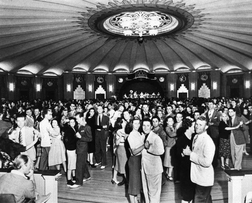 |
|
| (1940)* – Closer view showing a jam packed Casino Ballroom. Everyone seems to be having a good time. Note the beautiful ornate ceiling with its unique sunburst lighting design. |
Historical Notes The elaborate sunburst ceiling visible in this 1940 photograph became one of the Casino Ballroom’s most celebrated design features. Radiating plasterwork, concealed lighting, and geometric Art Deco detailing gave the enormous room a sense of warmth and movement despite its vast scale. Sumner A. Spaulding and Walter Webber blended Art Deco geometry with Mediterranean ornamental influences throughout the interior, creating one of the most distinctive entertainment spaces built in California during the early twentieth century. The California Chapter of the American Institute of Architects later recognized the Catalina Casino with its Honor Award as “one of the outstanding architectural accomplishments” of the era. This photograph was taken during the final full summer season before World War II abruptly interrupted Catalina’s tourist era. In 1942, civilian cross-channel traffic was sharply restricted and much of Avalon, including portions of the Casino, was repurposed for military and training use. Although the ballroom survived the war intact and later reopened to the public, the big band era that had defined its greatest years gradually faded with changing musical tastes during the 1950s. Even so, the Casino Ballroom remains one of the last great surviving dance halls of Southern California’s prewar resort era and continues hosting public events nearly a century after its completion. |
* * * * * |
Wartime Catalina and Hollywood Visitors |
When Japan attacked Pearl Harbor on December 7, 1941, Catalina Island’s tourism era came to an abrupt halt. Sixteen days later, on December 23, federal authorities closed the island to the public and declared it a Federal Military Zone. Steamship traffic was sharply reduced, tourist hotels emptied almost overnight, and the carefully cultivated resort atmosphere William Wrigley Jr. had spent two decades building suddenly fell silent. Residents who remained on the island lived through blackouts, air raid drills, travel restrictions, and an economy that had nearly come to a standstill.Philip K. Wrigley responded by offering Catalina’s facilities to the military, and the island quickly transformed into one of the most unusual wartime training centers on the Pacific Coast. Beginning in 1942, the United States Maritime Service took over much of Avalon, converting hotels into barracks and the Catalina Casino into classrooms and training facilities. Avalon Bay itself became part of the wartime operation as Merchant Marine recruits trained in swimming, seamanship, and emergency exercises. Elsewhere on the island, the Coast Guard established operations at the Isthmus, while the Army Signal Corps installed radar equipment in the interior. At Toyon Bay, the Office of Strategic Services quietly operated a top-secret frogman and commando training facility unknown to most other personnel stationed on the island.Yet even during these wartime years, Catalina never completely lost its connection to Hollywood and Southern California leisure culture. Actors, photographers, servicemen, and civilians continued appearing in Avalon whenever restrictions allowed, creating a unique mixture of military discipline and resort life unlike anything in the island’s earlier history. Among those who briefly called Catalina home during the war was a seventeen-year-old Norma Jeane Baker, whose husband James Dougherty was stationed at the Maritime Service training school in Avalon. Within only a few years, she would become known to the world as Marilyn Monroe. |
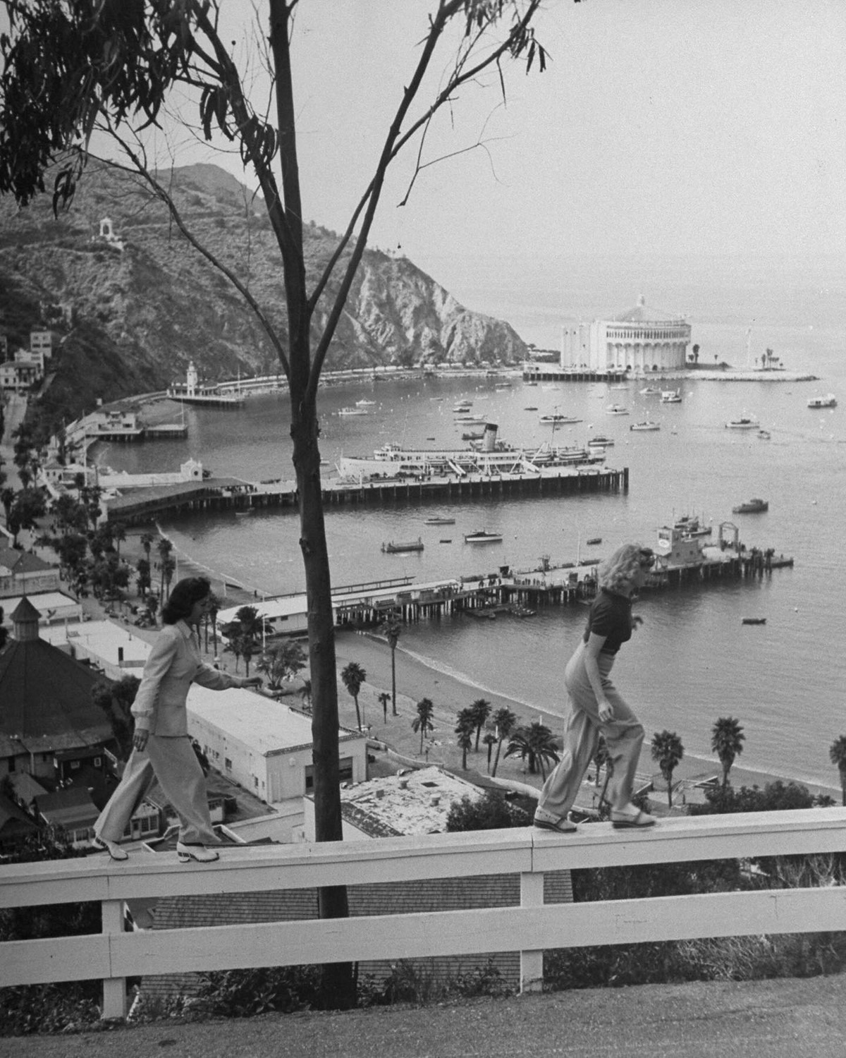 |
|
| (1941)* - Columbia bit-players Patti McCarty and Betty Brooks on a weekend trip to Catalina. Photographed by Peter Stackpole for LIFE. |
Historical Notes This 1941 LIFE magazine photograph captures two young Columbia Pictures contract players visiting Catalina only weeks before the island closed to civilian visitors following the attack on Pearl Harbor. Patti McCarty and Betty Brooks were among the many aspiring actresses and supporting performers who worked steadily within Hollywood’s studio system during the early 1940s, appearing in small roles while studios tested their commercial potential. Catalina maintained close ties to Hollywood throughout the late Banning and Wrigley eras. The island’s short distance from Los Angeles, glamorous reputation, and carefully maintained resort atmosphere made it a favorite weekend destination for actors, directors, producers, photographers, and studio employees seeking a brief escape from the pressures of the film industry. Images such as this regularly appeared in magazines and studio publicity materials, reinforcing Catalina’s image as both a fashionable seaside retreat and an extension of Southern California’s growing entertainment culture. |
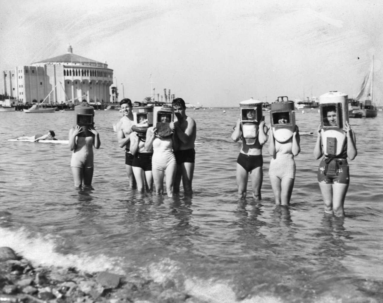 |
|
| (ca. 1940)* - Eight divers stand in knee-deep water on Front Beach in Avalon, Catalina. |
Historical Notes Front Beach remained one of Avalon’s busiest gathering places throughout the late 1930s and early 1940s. Located directly along Crescent Avenue beneath the Casino and surrounding hotels, the beach attracted swimmers, divers, fishermen, tourists, and local residents throughout the summer season. Catalina’s unusually clear water and abundant marine life helped establish Avalon as one of Southern California’s best known destinations for ocean recreation long before modern scuba diving became widespread. The informal group of divers seen here reflects the relaxed beach culture that defined Avalon during the final years before World War II transformed the island. Once Catalina shifted into military use following Pearl Harbor, many waterfront areas were repurposed for wartime training activities, and scenes such as this became far less common. Avalon’s beaches would gradually regain their peacetime atmosphere only after civilian tourism resumed in the late 1940s. |
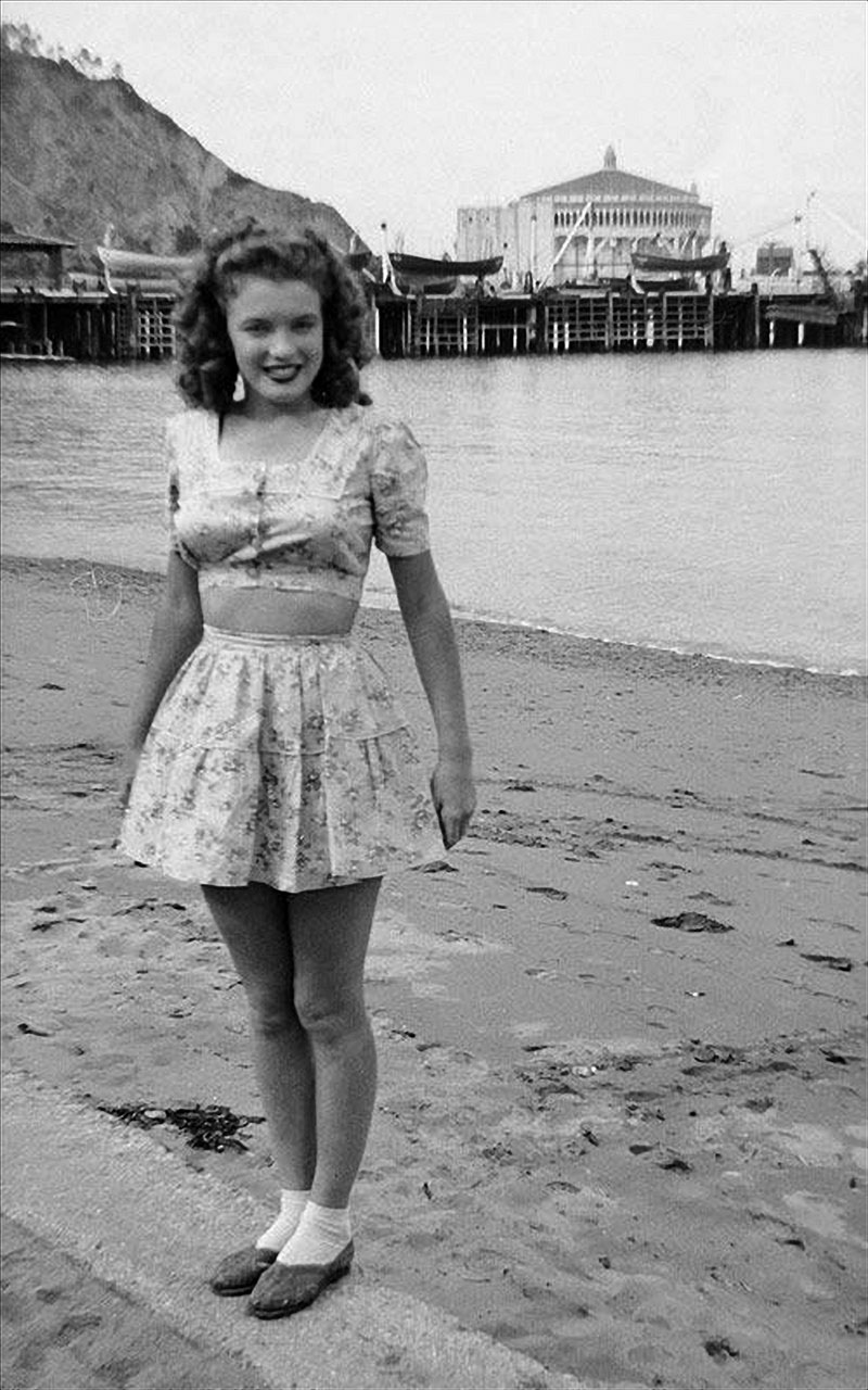 |
|
| (ca. 1943)* - Norma Jeane Baker, future film star Marilyn Monroe (1926 - 1962), on the beach at Avalon. Her first husband James Dougherty was stationed at the United States Maritime Service training school on Catalina during World War II. In the background is the Catalina Casino. |
Historical Notes In September 1943, seventeen-year-old Norma Jeane Baker arrived on Catalina Island with her husband James Dougherty, a physical training instructor assigned to the United States Maritime Service training operation in Avalon. The young couple first lived in a boarding house above the Marlin Club before later moving to an apartment on Metropole Avenue. During her time on the island, Norma Jeane worked at Lloyd’s Candy Store while Dougherty trained Merchant Marine recruits nearby. The Catalina Casino visible behind her had temporarily been converted from Avalon’s entertainment center into classrooms and military training facilities. The roughly six months Norma Jeane spent on Catalina marked a pivotal chapter in her life before fame transformed her into Marilyn Monroe. Dougherty later recalled that even during their time on the island, his young wife attracted extraordinary attention from the servicemen and recruits surrounding them because of her natural beauty and presence. After Dougherty shipped out to the Pacific in 1944, Norma Jeane left Catalina and soon afterward was discovered working at a wartime factory in Van Nuys. Within only a few years she adopted the name Marilyn Monroe and became one of the most recognizable figures in American popular culture. Decades later, the Catalina Island Museum would commemorate her connection to the island in an exhibition titled “Before She Was Marilyn.” |
* * * * * |
Postwar Avalon Harbor and the Great White Steamer |
For more than half a century, arriving at Catalina meant arriving by steamship. Long after automobiles reshaped life on the mainland, the channel crossing remained a deliberate act of departure — a two-and-a-half-hour voyage aboard vessels that made the journey itself feel like the beginning of something special. Passengers crowded promenade decks as the California coastline faded behind them and Avalon Harbor gradually came into view ahead, with the Catalina Casino rising above the waterfront and steep hills framing the bay. For generations of Southern Californians, that first sight of Avalon from the water became one of the most anticipated moments of the entire vacation.The ship most closely associated with that experience was the S.S. Catalina, the 301-foot passenger steamship commissioned by William Wrigley Jr. and launched in 1924. Known throughout Southern California as the “Great White Steamer,” the vessel carried an estimated 25 million passengers between Los Angeles Harbor and Avalon during its fifty-one years of service. Its final voyage came on September 14, 1975, when Captain Lloyd Fredgren rang down “Finished with Engines” after the ship had completed more than 9,800 crossings. During World War II, the S.S. Catalina also transported hundreds of thousands of military personnel and counted Presidents Calvin Coolidge and Herbert Hoover among its civilian passengers.The photographs and images in this section capture Avalon Harbor and the steamship experience across the postwar decades, from the harbor at its busiest in the late 1940s through the final years of the Great White Steamer’s service in the early 1970s. Together they preserve a slower and more deliberate way of reaching Catalina that no longer exists — a crossing where the journey itself became part of the island experience. |
|
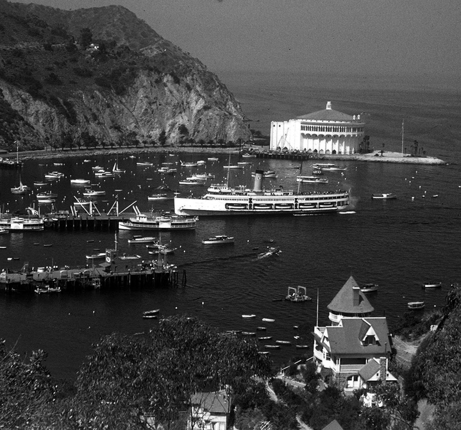
Historical Notes This elevated wartime-era aerial captures Avalon Harbor at a moment of transition, with the S.S. Catalina approaching the pier against a backdrop that reflects both the island’s prewar resort character and its wartime transformation. The Catalina Casino dominates the northern edge of the harbor from the point where the Sugarloaf formations once stood, while Holly Hill House — one of Avalon’s oldest surviving structures — occupies the foreground hillside much as it has since 1890. Even during the war years when civilian access to the island was sharply restricted, the S.S. Catalina continued operating in military service, transporting hundreds of thousands of personnel rather than resort tourists. The aerial perspective also reveals how completely the Wrigley-era improvements had transformed Avalon’s waterfront since the early resort photographs taken during the Banning years. The crescent-shaped bay, the Casino at its northern tip, and the dense collection of hotels and commercial buildings lining Crescent Avenue reflect more than five decades of continuous resort development. Holly Hill House, visible at lower right, remains one of the few structures in this scene that would still have been recognizable to visitors from Avalon’s earliest years. |
 |
|
| (ca 1957)* - Night view of Avalon Bay on Santa Catalina Island. The Catalina Casino, surrounded by the sea on three sides, is visible at the edge of the bay on the right along with several boats as well as the Great White Steamer. |
Historical Notes This 1957 nighttime view captures Avalon Harbor during the postwar decade when Catalina tourism steadily rebounded following the disruptions of World War II. Civilian access to the island had resumed after 1945, and the S.S. Catalina once again carried passengers across the channel between Los Angeles Harbor and Avalon. The Casino and surrounding waterfront lights reflected across the calm harbor waters much as they had during the prewar resort years, although the atmosphere of postwar Avalon had shifted toward a quieter and more family-oriented tourism economy. The night harbor view also preserves one of the most memorable visual traditions associated with Catalina Island. Evening arrivals aboard the S.S. Catalina offered passengers a dramatic first glimpse of Avalon as the illuminated Casino slowly emerged from the darkness while the ship rounded the point into the harbor. For many visitors, this nighttime arrival remained one of the defining memories of the Catalina experience long after the details of their trip had faded. |
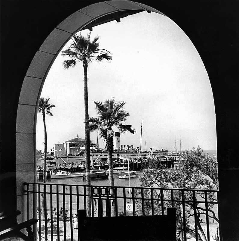 |
|
| (1962)* - Avalon, on the island of Santa Catalina, a world apart, yet only a $6.52 round-trip steamship ticket away. (Larry Paulson - Valley Times Collection) |
Historical Notes By 1962, a round-trip steamship ticket between Los Angeles Harbor and Avalon cost only $6.52, helping keep Catalina accessible to the same broad range of Southern Californians who had been crossing the channel since the Banning era. The Valley Times caption captured something important about Catalina’s appeal during the steamship years: despite its close proximity to Los Angeles, the island still felt emotionally distant from mainland life and offered visitors a genuine sense of escape. The early 1960s represented one of the final chapters of Catalina’s great steamship era. Faster transportation alternatives were gradually appearing throughout Southern California, while the economics of operating large passenger steamships became increasingly difficult to sustain. Labor disputes interrupted service during the early 1970s, and the S.S. Catalina completed its final voyage in 1975. The end of regular steamship service permanently changed the Catalina crossing, replacing the slower and more deliberate voyage remembered by generations of visitors with faster modern alternatives. |
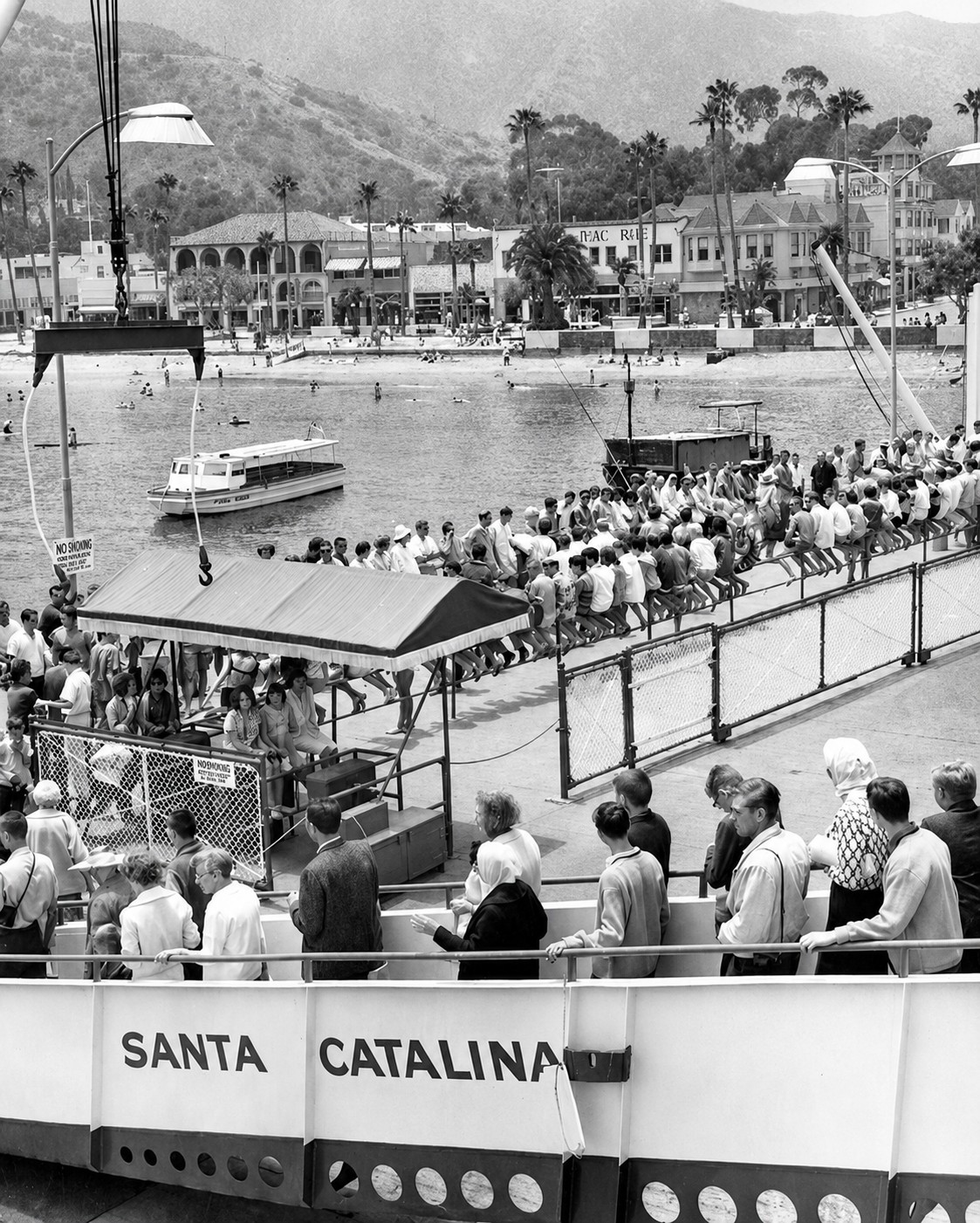 |
|
| (1962)* – View showing S.S. Catalina passengers arriving at Avalon Harbor. Visible in the background are the Campo Bravo Hotel, Hotel Mac Rae, and Hotel Glenmore along Crescent Avenue. |
Historical Notes This 1962 arrival scene captures one of the most familiar rituals of Catalina tourism during the final years of the steamship era. Passengers stepping off the S.S. Catalina entered a waterfront that still retained much of the architectural character established during the Wrigley years, with the Hotel Mac Rae, Hotel Glenmore, and Campo Bravo Hotel lining Crescent Avenue behind the crowd. The Glenmore, which survives today as Avalon’s oldest operating hotel, had already been welcoming steamship passengers for more than sixty years when this photograph was taken. The Hotel Mac Rae visible in the background carried its own important connection to Avalon history. Herbert Dewey Mac Rae arrived on Catalina in 1906 as accountant for the Banning brothers and later built the Hotel Mac Rae in 1920 on lots destroyed during the devastating 1915 Avalon fire. Constructed primarily of clay tile rather than wood, it became Avalon’s first fireproof hotel. Together, the buildings lining this stretch of Crescent Avenue represented nearly seven decades of continuous resort history extending from the Banning era through the height of the Wrigley years and into the postwar period seen here. |
* * * * * |
Crescent Avenue and Avalon Life |
By the postwar decades, Avalon had settled into an identity shaped by more than a century of resort development, wartime disruption, and gradual rebuilding. The dramatic changes of the Wrigley era — the Casino, the seawall, and the Spanish Colonial redesign of Crescent Avenue — had given the waterfront a more permanent and polished character than the wooden storefronts and unpaved streets of the Banning years. Crescent Avenue remained what it had been since George Shatto laid out the original townsite in 1887: the center of Avalon life. Hotels, restaurants, shops, and excursion offices lined the promenade while steamship passengers filled the streets throughout the day.The photographs from the 1960s through the 1980s capture Avalon during a period of quiet transition rather than dramatic change. The end of regular steamship service in 1975 altered the rhythm of arrival without changing the essential character of the town. Visitors still came in large numbers, still walked the length of Crescent Avenue, and still spent afternoons on the beach and evenings along the waterfront. Many of the hotels that survived the 1915 fire, the Depression, World War II, and the postwar decades continued operating — some under original names, others under new ownership — while remaining tied to the same shoreline that had drawn visitors since the earliest tent city years of the 1880s.What these images convey most clearly is continuity. Crescent Avenue looked different in 1962 than it had in 1905, and different again in 1984 than it did in 1962, yet the relationship between Avalon and its harbor remained fundamentally unchanged. The palm-lined promenade, hillside homes rising above the bay, and the steady flow of visitors along the waterfront all reflect a community that accommodated enormous change while preserving the qualities that made Avalon one of California’s most distinctive seaside towns. |
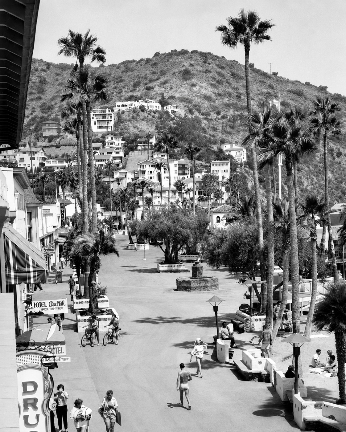 |
|
| (1962)* – View showing beachgoers walking and shopping along busy Crescent Avenue with the Hotel Mac Rae seen on the left. Photo caption reads, “Where the palms meet the pedestrians at the edge of the sea.” |
Historical Notes This 1962 street scene captures Crescent Avenue during the final years of the steamship era, when the waterfront still operated much as it had since the Wrigley-era redesign of the 1930s added palm trees, decorative tile work, and the serpentine seawall that continues defining the shoreline today. The Hotel Mac Rae visible at left had stood along this stretch of Crescent Avenue since 1920, when Herbert Dewey Mac Rae — who arrived on the island in 1906 as accountant for the Banning brothers — built it on lots cleared by the devastating 1915 fire. Constructed primarily of clay tile rather than wood, it became Avalon’s first fireproof hotel. The Valley Times caption — “Where the palms meet the pedestrians at the edge of the sea” — perfectly captured the quality that distinguished Avalon from mainland beach communities during this period. Crescent Avenue remained largely car-free by both necessity and tradition in a town where nearly all visitors still arrived by sea. The relaxed movement of shoppers and beachgoers visible here reflects an Avalon that had settled into a comfortable postwar rhythm while continuing to offer visitors the combination of ocean air, walkable resort life, and separation from the mainland that had defined the island’s appeal since the nineteenth century. |
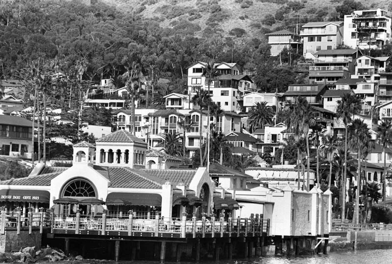 |
|
| (1984)*- View showing mostly homes and palm trees on the hillside above Avalon Bay. |
Historical Notes The hillside homes visible in this 1984 view reflect more than a century of residential growth gradually climbing upward from Avalon’s crowded harbor floor. The pattern began during the earliest Banning years when cottages, boarding houses, and homes such as Holly Hill House first appeared on the slopes overlooking the bay and arriving steamships below. As Avalon expanded, development spread across nearly every available hillside surrounding the harbor. By 1984, Avalon’s permanent population stood at approximately 2,700 residents, supporting the much larger seasonal tourist economy that continued drawing visitors from throughout Southern California. The white stucco homes and palm trees visible here reflect the Spanish Colonial aesthetic introduced during the Wrigley-era redesign of the 1920s and 1930s, which gave Avalon much of its lasting Mediterranean appearance. Seen from the water, these hillside neighborhoods helped create one of the most recognizable resort landscapes anywhere along the Southern California coast. |
.jpg) |
|
| (ca. 2000)* – Close-up view of Avalon Harbor full of pleasure boats, with homes and palm trees seen in the background. |
Historical Notes By the turn of the twenty-first century, Avalon Harbor had undergone a transformation that would have been nearly unrecognizable to steamship passengers of the Banning and Wrigley eras. Where large passenger vessels once dominated the waterfront, hundreds of privately owned sailboats and pleasure craft now filled the protected anchorage, reflecting the rise of recreational boating that reshaped many Southern California coastal communities during the second half of the twentieth century. The harbor breakwater — constructed largely from rock removed during the leveling of Sugarloaf Point in the late 1920s — continued protecting Avalon Bay much as it had during the steamship era decades earlier. Today Avalon attracts approximately one million visitors annually, most arriving aboard high-speed ferries rather than the Great White Steamer. Yet despite enormous changes in transportation, tourism, and harbor activity, Avalon still retains much of the visual character that has distinguished the island since George Shatto first laid out the townsite in 1887. The crescent-shaped bay, hillside homes, walkable waterfront promenade, and close relationship between the town and harbor continue defining Avalon much as they have for generations of visitors. |
* * * * * |
Modern Avalon Harbor |
More than a century after Avalon first emerged as a small seaside resort community of tents, wooden piers, and visiting steamships, the harbor remains the visual and social heart of Santa Catalina Island. Although many of the early waterfront structures have disappeared and the era of the great excursion steamers has long passed, Avalon Harbor continues to preserve much of the atmosphere that first attracted visitors during the late nineteenth and early twentieth centuries. The protected crescent-shaped bay, surrounding hillsides, and distinctive waterfront skyline remain instantly recognizable despite decades of redevelopment and modernization.The harbor seen today is the product of continual transformation shaped by tourism, engineering, preservation, and changing patterns of recreation. Following the end of regular passenger service by the famed SS Catalina in 1975, Avalon increasingly evolved from a steamship resort into a modern recreational harbor centered around pleasure boating, tourism, and historic preservation. Yet even as Avalon adapted to contemporary tourism, many of the island’s defining landmarks — including the Catalina Casino, Holly Hill House, the Chime Tower, and the palm-lined waterfront — continued to link modern Avalon with its earlier resort-era identity. The following images capture Avalon Harbor during the early twenty-first century, reflecting both the enduring beauty of the bay and the long history that continues to shape it. |
Avalon Harbor in the Twenty-First Century |
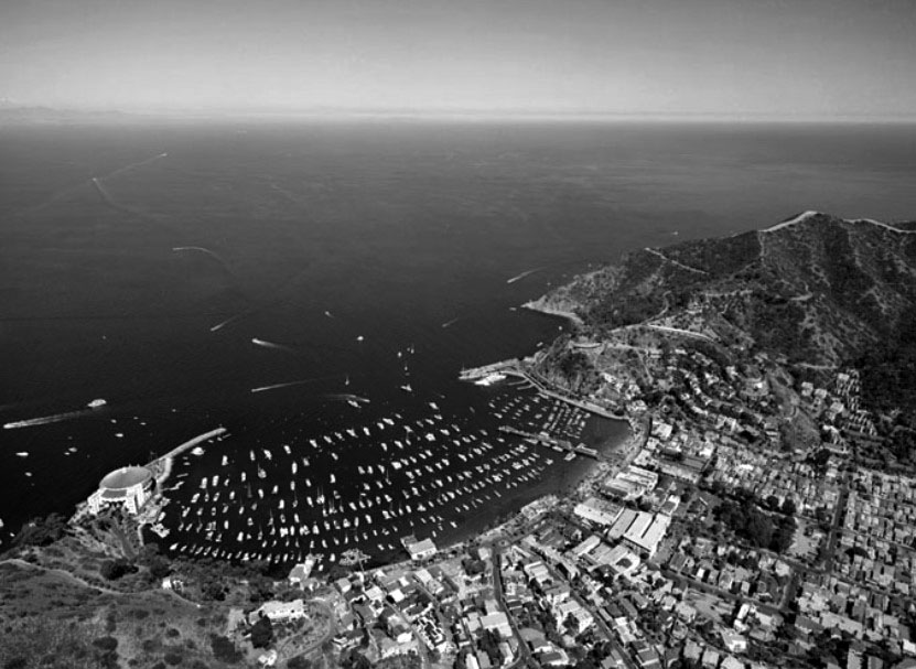 |
|
| (2009)* – Aerial view showing an almost filled-to-capacity Avalon Harbor. |
Historical Notes At peak summer capacity, Avalon Harbor fills with hundreds of private vessels anchored throughout the protected marina and outer bay. The scene visible here reflects a pattern of recreational boating that became central to Catalina’s postwar tourism economy as private boat ownership expanded dramatically across Southern California during the 1950s and 1960s. Where excursion steamships once delivered passengers on scheduled crossings, private mariners now arrive independently throughout the day and evening, transforming Avalon into one of the busiest recreational harbors on the California coast. The harbor infrastructure supporting this modern boating culture evolved gradually over many decades. Moorings, fuel docks, pump-out stations, water taxis, and harbor patrol services expanded alongside growing visitor demand while efforts to preserve the environmental health of Avalon Bay became increasingly important. Today, Avalon Harbor represents both a major tourism destination and a carefully managed marine environment balancing recreation, preservation, and the daily needs of a year-round island community. |
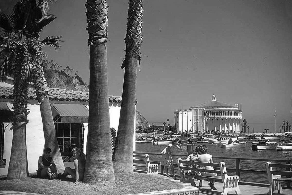 |
|
| (n.d.)* - View showing tourists enjoying the day at Avalon Harbor with the Catalina Casino seen in the background. |
Historical Notes The scene along Avalon’s waterfront today echoes patterns established during the earliest years of Catalina tourism. Visitors stroll the promenade, gather near the beach, rent boats, explore the shops and restaurants along Crescent Avenue, and pause to photograph the Catalina Casino across the harbor much as their predecessors did during the Banning and Wrigley eras. Although modern beachwear and casual tourism have replaced the formal Victorian attire visible in early photographs, Avalon’s essential appeal — ocean scenery, mild climate, walkable streets, and separation from the mainland — has changed remarkably little in more than a century. Tourism remains the economic foundation of Avalon, as it has been since George Shatto first promoted the island as a resort destination during the 1880s. The town’s permanent population of roughly 3,700 residents swells dramatically during the summer season as ferries bring thousands of visitors across the channel each day. Balancing tourism, preservation, and everyday community life has remained one of Avalon’s defining challenges throughout its modern history. |
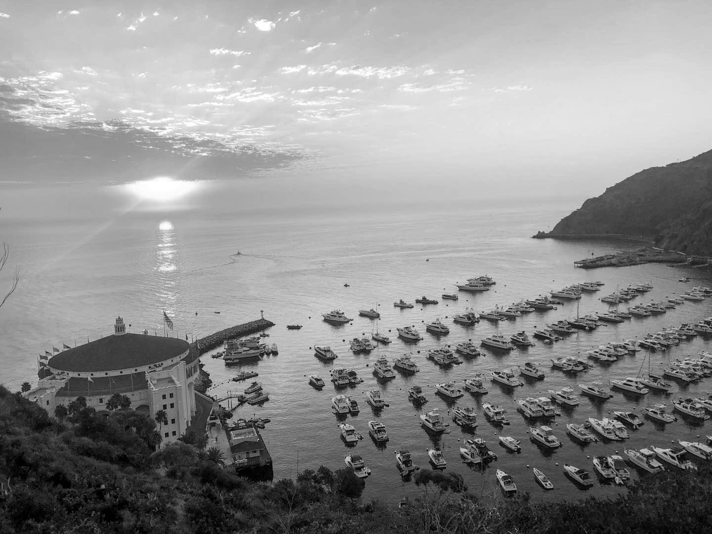 |
|
| (2020)* - Avalon Harbor sunset. Photo courtesy of Love Catalina Island. |
Historical Notes At sunset, Avalon Harbor takes on the atmosphere that helped make Catalina famous long before the age of color photography. Warm light reflecting across the bay, anchored boats silhouetted against the fading sky, and the Catalina Casino illuminated at the far end of the harbor create a scene that appeared repeatedly in postcards, travel brochures, magazine advertisements, and motion pictures throughout the twentieth century. Much of the romantic image William Wrigley Jr. sought to cultivate for Catalina during the resort era still survives in the harbor’s evening light today. Sunset also marks Avalon’s daily transition from a bustling visitor destination into the quieter rhythm of a small island town. After the last ferries depart for the mainland, the harbor gradually settles into a more subdued atmosphere experienced primarily by year-round residents. That dual identity — part internationally recognized resort and part isolated coastal community — remains one of Avalon’s most distinctive characteristics. |
Enduring Landmarks of Avalon |
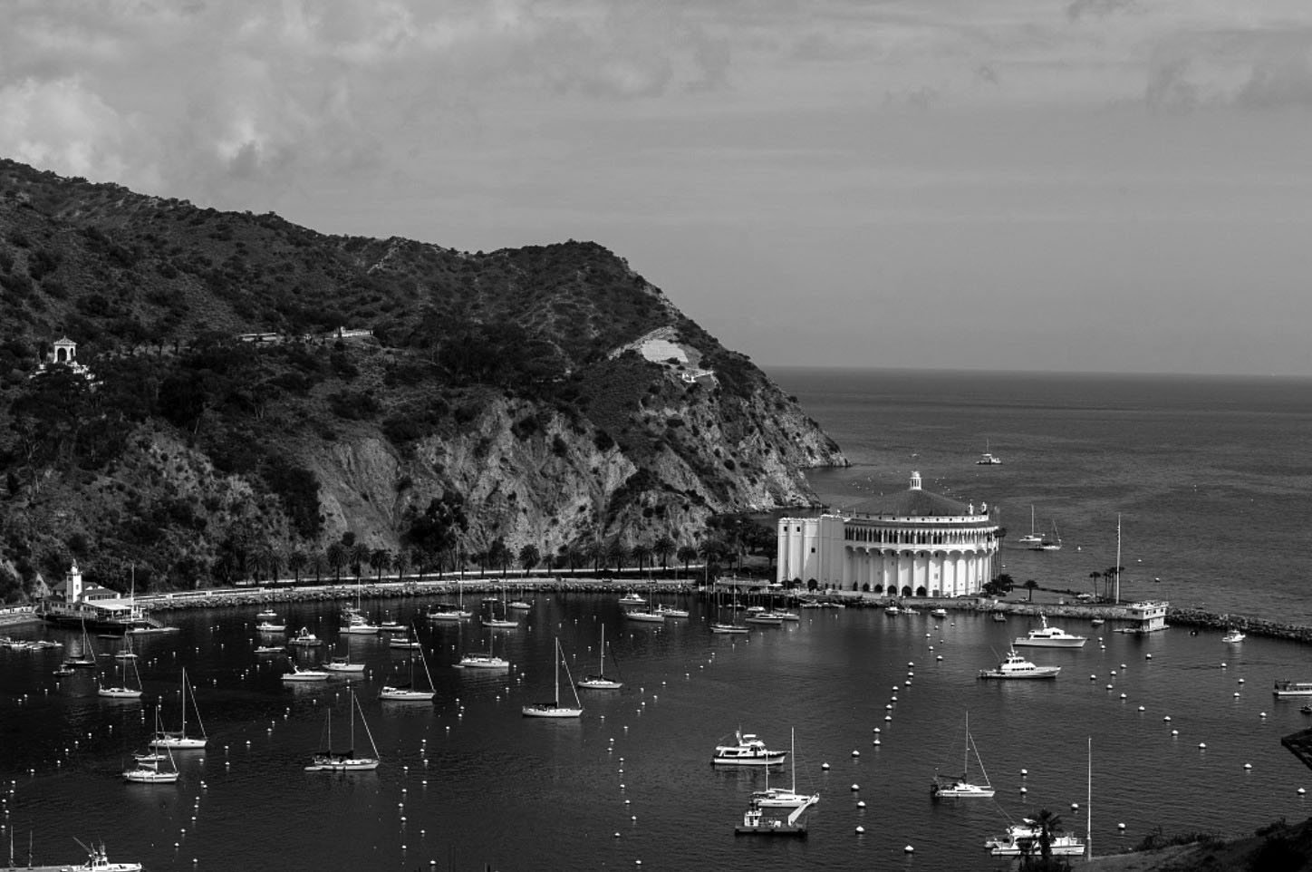 |
|
| (2013)* - View looking across the harbor toward the Catalina Casino. The Chime Tower can be seen on the hill at left-center. |
Historical Notes The Chime Tower visible on the hillside at left-center was erected in 1925 as a gift to the people of Avalon from William Wrigley Jr. Designed in a Mediterranean Revival style consistent with the architectural character Wrigley sought to establish throughout the town, the tower originally housed a set of chimes that rang on the quarter hour and could be heard across much of Avalon and the harbor below. Nearly a century later, it remains one of the most recognizable landmarks on Avalon’s hillside skyline. The view across the harbor toward the Catalina Casino captures the visual relationship that has defined Avalon since 1929. The Casino’s circular form dominates the far point of the bay while the town spreads outward along the shoreline and surrounding hillsides. Few places in California combine resort history, architectural ambition, and dramatic coastal scenery as completely within a single view. |
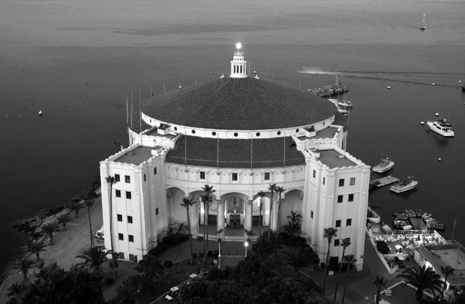 |
|
| (2014)* – Close-up view, looking southeast, of the Catalina Casino, recipient of the Honor Award from the California Chapter of the American Institute of Architects as "one of the outstanding architectural accomplishments" of its era. |
Historical Notes Nearly nine decades after its completion, the Catalina Casino continues to attract the same architectural admiration it received at its opening. Its sweeping circular form, uninterrupted interior spaces, and successful blending of Art Deco ornament with Mediterranean Revival influences made the building one of the most celebrated resort structures constructed in California during the 1920s. The California Chapter of the American Institute of Architects later recognized the Casino with its Honor Award as one of the outstanding architectural accomplishments of its era. The building’s continued condition reflects decades of preservation and careful stewardship by the Santa Catalina Island Company and local preservation advocates. Designated a National Historic Landmark, the Casino underwent major restoration efforts during the 1990s and early 2000s that preserved its historic character while modernizing internal systems. The Avalon Theatre remains an active cinema, while the ballroom above continues hosting concerts, celebrations, and public events nearly a century after the building first opened to visitors. |
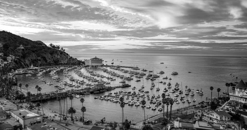 |
|
| (2020)* - Avalon Harbor with the Catalina Casino in the distance and Holly Hill House seen at right. Photo courtesy of Love Catalina Island. |
Historical Notes This contemporary view places two of Avalon’s oldest and most enduring landmarks within the same frame — Holly Hill House on the hillside at right and the Catalina Casino across the harbor at the northern end of the bay. The Queen Anne cottage completed by Peter Gano in 1890 and the massive circular Casino completed under William Wrigley Jr. in 1929 represent two very different eras in Catalina’s development and two very different visions for the island’s future. One emerged from Avalon’s modest early resort years, while the other symbolized Catalina’s transformation into an internationally known destination during the Wrigley era. That both structures still survive above a harbor that has otherwise changed dramatically over time reflects Avalon’s longstanding connection to its own history. Fires, redevelopment, tourism growth, and modernization repeatedly reshaped the waterfront during the twentieth century, yet the town consistently preserved the landmarks most closely tied to its identity. Although the Avalon Harbor of 2020 differs greatly from the harbor of 1891 or 1929, the relationship between the bay, the surrounding hillsides, and the island’s defining landmarks remains unmistakably recognizable. |
* * * * * |
Avalon Bay — Then and Now |
When the Banning brothers acquired Santa Catalina Island in 1891, Avalon Harbor was still in its infancy as a resort destination. The protected crescent shaped bay offered natural anchorage and dramatic scenery, but development remained sparse. A single wooden wharf extended into the harbor, a modest cluster of buildings lined portions of the beach, and hundreds of canvas tents covered the flats and hillsides near the waterfront. Steamships brought visitors from the mainland, yet Avalon still felt remote and lightly developed. Sailing vessels and small skiffs rested quietly in the harbor while Sugarloaf Point rose undisturbed at the northern end of the bay, its distinctive rock formations defining the shoreline much as they had for centuries.Over the next several decades, Avalon Harbor underwent a remarkable evolution shaped by tourism, investment, and changing visitor expectations. The Bannings expanded steamship service, improved the waterfront, and promoted Catalina as a fashionable seaside retreat for Southern Californians seeking recreation and escape from city life. After William Wrigley Jr. acquired controlling interest in the island in 1919, development accelerated dramatically. Wrigley invested millions in roads, utilities, hotels, landscaping, and public attractions that transformed Avalon into a more permanent and carefully planned resort community.The most dramatic changes occurred along the harbor itself. Sugarloaf Point, once the defining natural landmark of Avalon Bay, was gradually removed to make way for new entertainment facilities and harbor improvements. Rock blasted from the point helped create the breakwater that reshaped Avalon Harbor into the protected marina seen today. Crescent Avenue evolved from an unpaved shoreline road into a landscaped waterfront promenade lined with palms, decorative walkways, and resort buildings. The open anchorage once occupied by a handful of steamships and sailboats eventually became one of Southern California’s most recognizable recreational harbors filled with hundreds of pleasure craft. |
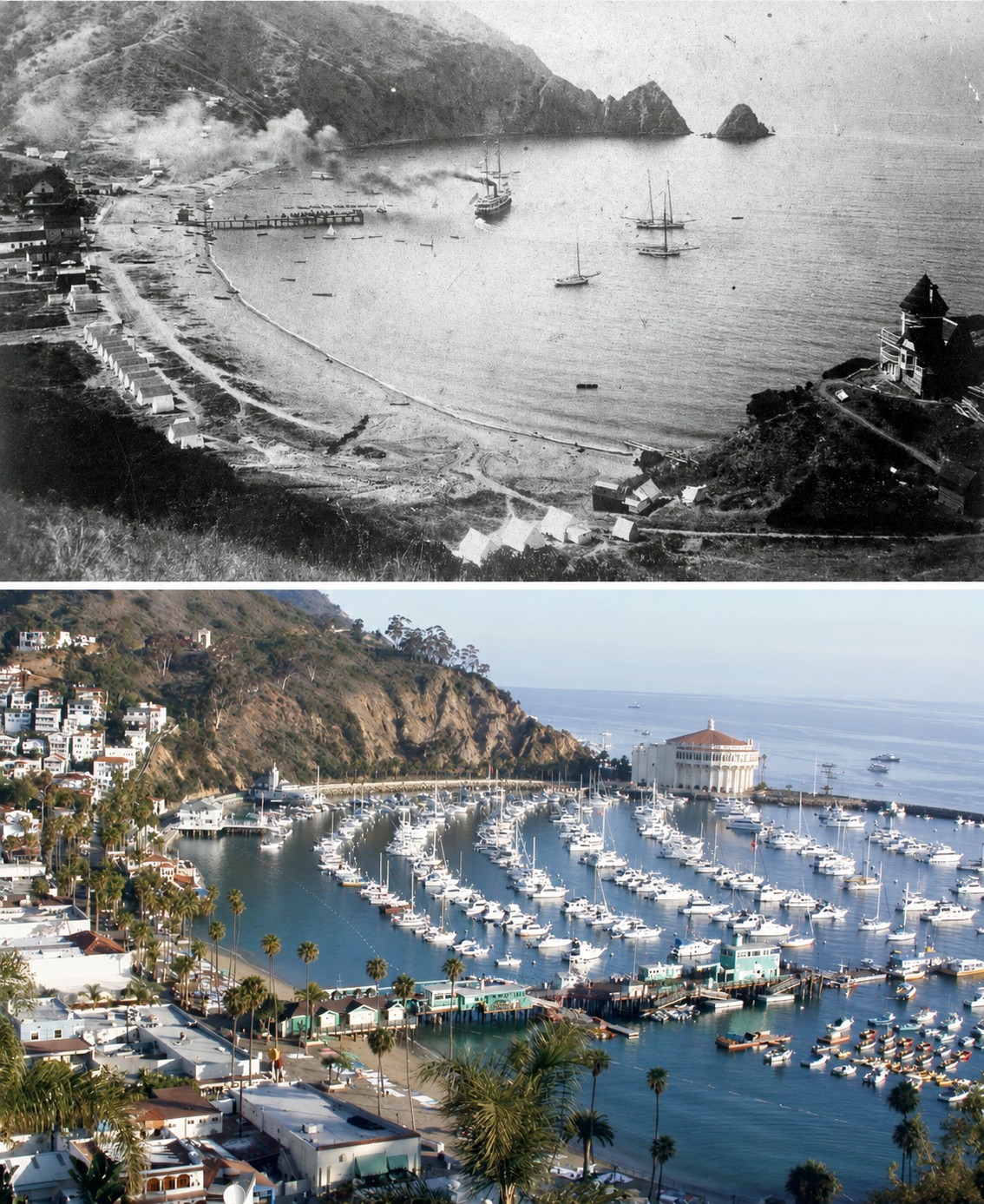 |
|
| (1891 vs 2022)* – Avalon Bay Harbor. Photo comparison by Jack Feldman. |
Historical Notes The 1891 photograph looks across Avalon Bay during the earliest years of organized resort development under the Banning brothers. A wooden wharf projects into the calm harbor where a steamship rests at anchor surrounded by sailboats and skiffs. Canvas tents line the shoreline and open land still dominates much of the waterfront, reflecting Avalon’s early identity as a seasonal tent community often referred to as “Rag City.” At the far end of the bay, Sugarloaf Point rises prominently above the shoreline with its distinctive twin rock formations still completely intact. The 2022 view reveals a harbor transformed by more than a century of redevelopment and engineering. Hundreds of sailboats and powerboats now occupy the protected marina while the Catalina Casino dominates the point where Sugarloaf once stood. The breakwater enclosing Avalon Harbor was constructed largely from rock removed during the leveling of Sugarloaf Point and surrounding hillside areas during Casino construction. Crescent Avenue is now lined with palms, piers, hotels, and shops, while Avalon’s hillsides are covered with the white stucco homes and buildings that define the town today. Despite the dramatic physical changes, the natural curve of Avalon Bay and the surrounding hills remain instantly recognizable, linking the modern harbor to its much quieter past. |
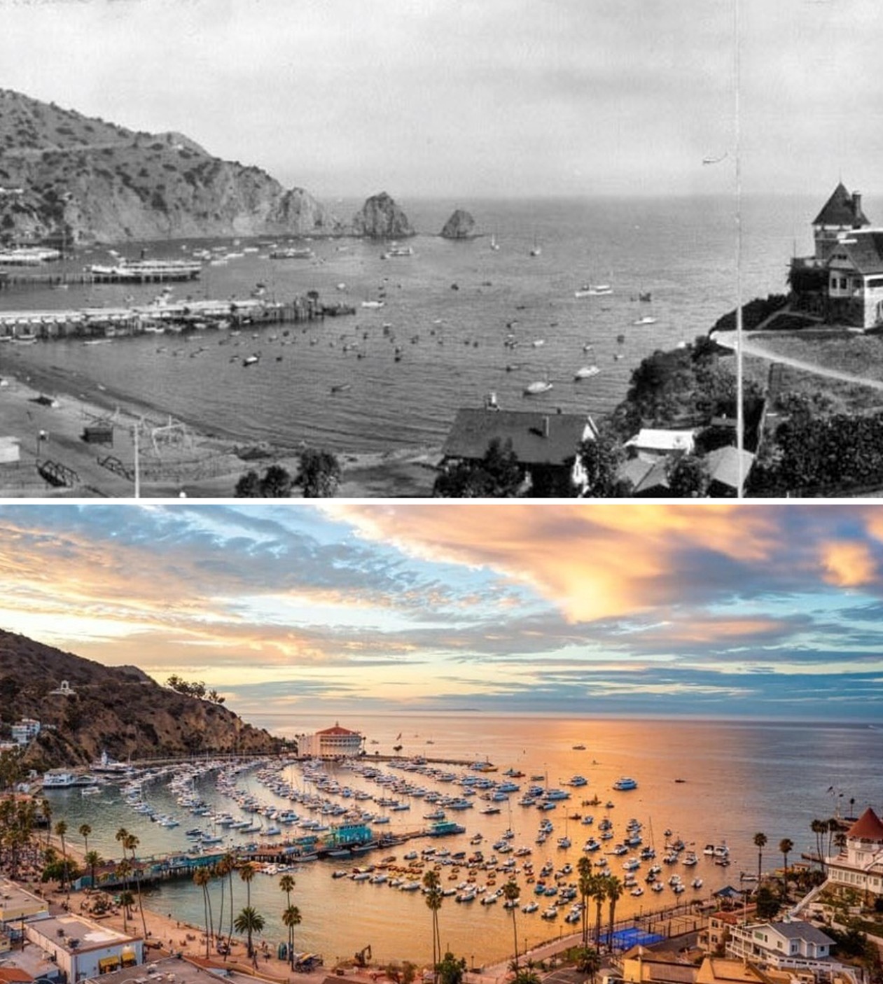 |
|
| (1914 vs 2020)* – A Then and Now Photo Comparison of Avalon Bay, Catalina. Photo comparison by Jack Feldman. |
Historical Notes The 1914 view captures Avalon Harbor near the end of the Banning era, just one year before the devastating 1915 fire destroyed much of the waterfront business district. Permanent buildings and expanded pier facilities now line portions of the shore, reflecting the steady growth of Catalina tourism during the early 20th century. Sugarloaf Point still stands unchanged at the northern edge of the harbor, and the open bay remains filled primarily with small boats, excursion craft, and visiting steamships rather than the dense marina seen today. The modern view from nearly the same vantage point illustrates how thoroughly Avalon Harbor was reshaped during the Wrigley era and beyond. Financial pressures following the 1915 fire and World War I eventually forced the Banning family to sell the island to William Wrigley Jr. in 1919. Over the following decades, Wrigley and later his son Philip oversaw extensive redevelopment projects that permanently altered the harbor. The completion of the Catalina Casino in 1929, construction of the breakwater, and the redesign of Crescent Avenue during the 1930s transformed Avalon into a more polished and organized resort destination. Today, the enclosed marina, landscaped waterfront, and iconic Casino building reflect the long evolution of Avalon from a rustic seaside settlement into one of California’s best known resort communities. |
* * * * * |
Sugarloaf Point and the Catalina Casino - Then and Now |
No single project altered the appearance of Avalon Harbor more dramatically than the removal of Sugarloaf Point and the construction of the Catalina Casino. For decades, the twin rock formations known as Little Sugarloaf and Big Sugarloaf stood prominently at the northern end of Avalon Bay, serving as one of Catalina Island’s most recognizable natural landmarks. Early photographs of Avalon almost always included the distinctive rocky outcroppings rising above the shoreline, helping define the harbor’s rugged and undeveloped character during the late 19th and early 20th centuries.The transformation began shortly after William Wrigley Jr. acquired controlling interest in Santa Catalina Island in 1919. Seeking to modernize Avalon while establishing the island as a premier resort destination, Wrigley initiated a series of ambitious waterfront improvements that permanently reshaped the harbor. In 1920, Little Sugarloaf was removed to create space for the original Sugarloaf Casino, an octagonal dance hall and entertainment pavilion built at the water’s edge. Less than a decade later, Wrigley envisioned an even larger landmark structure that would become the visual centerpiece of Avalon Harbor.Construction of the present Catalina Casino required the complete removal of the remaining Sugarloaf formations along with portions of the adjacent hillside. Rock blasted from the point helped form the harbor breakwater that still protects Avalon Bay today, while the newly created land provided a stable foundation for the massive circular Casino building completed in 1929. Together, these projects transformed both Avalon’s skyline and its shoreline, replacing one of Catalina’s best known natural landmarks with one of Southern California’s most famous architectural icons. |
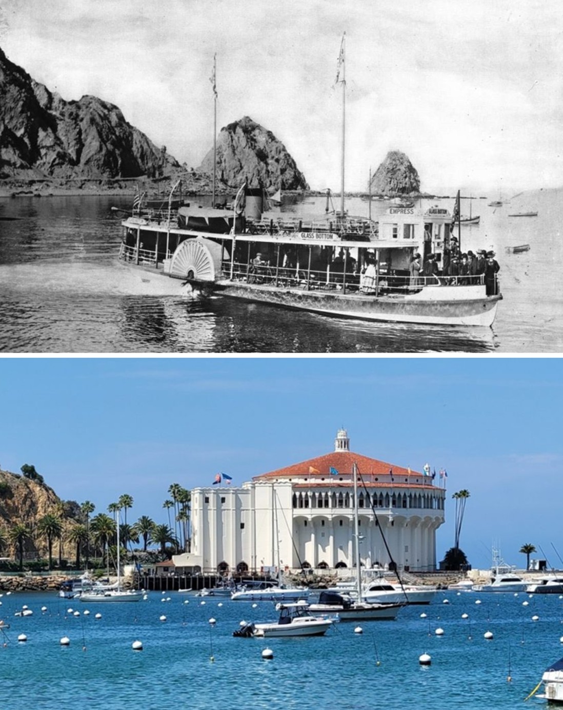 |
|
| (1917 vs. 2022)* – A 'Then and Now' Comparison of Sugarloaf Point, Site of the Present Day Catalina Casino. Contemporary photo by Andrew Schmidt. Photo comparison by Jack Feldman. |
Historical Notes The 1917 photograph captures Sugarloaf Point shortly before its complete transformation during the Wrigley era. The distinctive rock formations known as Little Sugarloaf and Big Sugarloaf dominate the northern edge of Avalon Harbor, rising prominently above the shoreline and serving as natural visual markers for approaching steamships and visitors entering the bay. At the time this image was taken, Avalon still retained much of its earlier resort character, with the rugged landscape remaining largely unchanged from the views photographed during the Banning era decades earlier. The 2022 view reveals one of the most dramatic physical changes ever made to Avalon Harbor. Both Sugarloaf formations were eventually removed to accommodate construction of first the original Sugarloaf Casino in 1920 and later the present Catalina Casino completed in 1929. Material blasted from the point helped create Avalon Harbor’s protective breakwater, permanently reshaping the shoreline and creating the more enclosed marina seen today. The massive circular Casino structure now occupies the site where the rocky promontory once stood, transforming Avalon’s skyline while becoming the island’s most recognizable architectural landmark. |
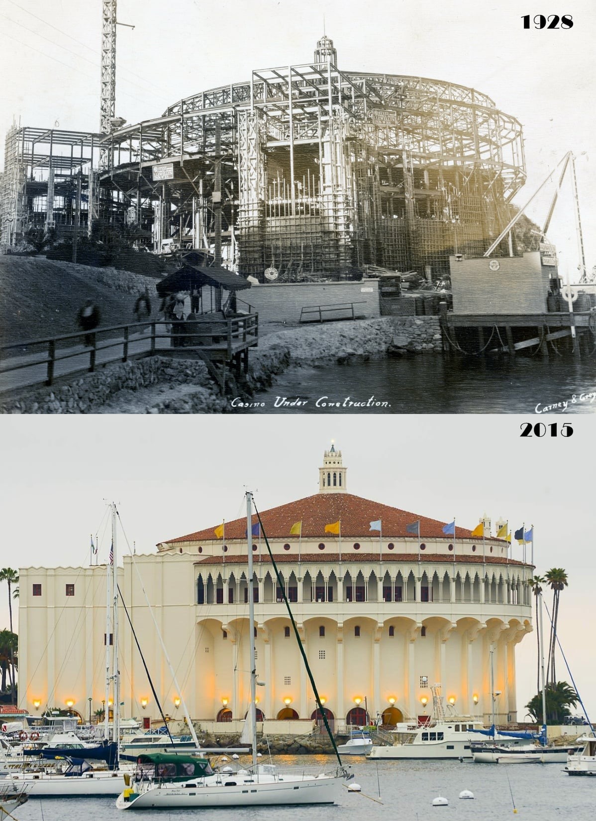 |
|
| (1928 vs. 2015)* - Catalina Island Casino - Before and After. |
Historical Notes The 1928 photograph captures the Casino site during construction after the original Sugarloaf Casino had been demolished and the surrounding point substantially altered. The familiar Sugarloaf rock formations had already disappeared, replaced by an active construction zone where crews worked around the clock assembling the steel and reinforced concrete framework of the new building. The project represented one of the most ambitious construction efforts ever undertaken on Catalina Island, requiring nearly all building materials to be transported across the channel from the mainland. The 2015 photograph shows the completed Catalina Casino after nearly nine decades overlooking Avalon Harbor. Its white stucco exterior, red tile roof, and graceful circular form remain among the most recognizable architectural features on the Southern California coast. Although called a “casino,” the building was never intended for gambling. Instead, it served as Avalon’s entertainment and social center, housing a grand ballroom above and a state of the art motion picture theater below. Today, designated as a National Historic Landmark, the Catalina Casino remains both the visual symbol of Avalon and one of the most celebrated resort buildings in California history. |
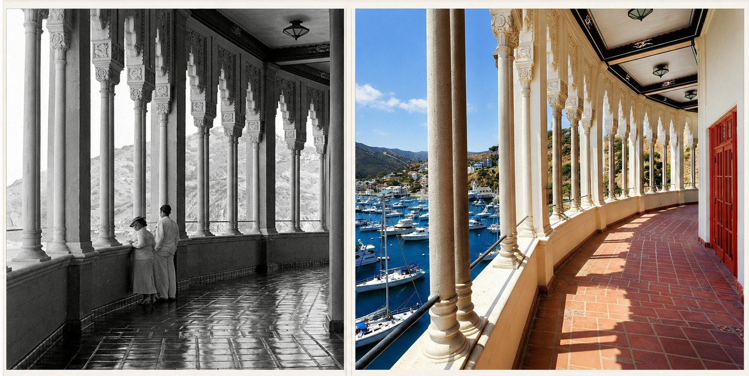 |
|
| (1930s vs. 2016)* – Then and Now view from the Catalina Casino’s Romance Promenade overlooking Avalon Harbor. Contemporary photo courtesy of Catalina Tours. Photo comparison by Jack Feldman. |
| Historical Notes
The historic photograph from the 1930s captures two visitors standing along the Catalina Casino’s open-air Romance Promenade overlooking Avalon Harbor. Encircling the upper level of the Casino Ballroom, the promenade quickly became one of the building’s most celebrated architectural features after the Casino opened in 1929. Designed with a long series of arches, columns, decorative detailing, and sweeping harbor views, the promenade blended Mediterranean Revival elegance with the relaxed coastal atmosphere William Wrigley Jr. envisioned for Avalon during the island’s peak resort era. During dances and social events, couples frequently stepped outside from the crowded ballroom to enjoy the ocean air, harbor lights, and panoramic views stretching across Avalon Bay. The 2016 view reveals how remarkably unchanged the Romance Promenade remains after more than eight decades overlooking the harbor below. Although Avalon Harbor itself evolved from a steamship anchorage into a modern recreational marina filled with private boats and yachts, the essential architectural experience remains much the same as it was during the 1930s. The repeating columns, tiled floor, decorative ceiling details, and sweeping curve of the promenade continue to frame one of the most recognizable views on Catalina Island. Few places in Avalon more clearly illustrate the continuity between Catalina’s historic resort era and the present day than the enduring view from the Catalina Casino across Avalon Harbor. |
* * * * * |
Avalon and Catalina From Above |
Seen from the air, Santa Catalina Island reveals relationships that are not always visible from the shoreline below. Avalon Harbor appears as a small crescent shaped opening carved into the rugged coastline, its dense cluster of white buildings surrounded by steep hillsides and the open waters of the Pacific. From above, the dramatic geography that shaped Avalon’s development becomes immediately apparent — a naturally protected harbor isolated from the mainland yet close enough to Los Angeles to become one of Southern California’s most enduring resort destinations.Aerial photography also transformed the public image of Catalina during the twentieth century. Views taken from airplanes, helicopters, and eventually satellites appeared in magazines, postcards, travel brochures, motion pictures, and tourism campaigns that promoted the island as both exotic and accessible. The aerials in this section progress from the intimate to the expansive — beginning with close and mid-range views of Avalon Harbor and the town itself, then widening gradually to encompass the full island and its relationship to the mainland beyond. Together they form a final visual inventory of much of what this page has documented: the harbor that drew the first tourists, the hillsides that sheltered the first permanent homes, the waterfront reshaped by decades of development, and the rugged landscape surrounding it all. |
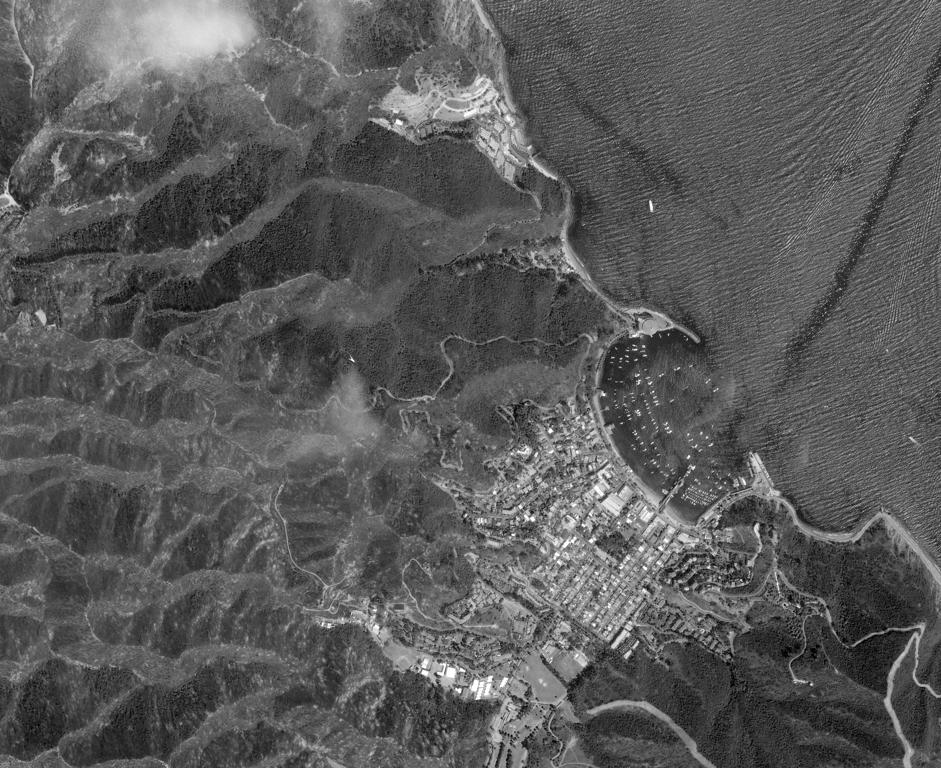 |
|
| (2007)* – Satellite image of Avalon Bay, courtesy of GeoEye. |
Historical Notes This satellite view of Avalon Bay provides a broad geographic perspective of the harbor and surrounding town during the early twenty-first century. From above, Avalon’s compact waterfront development appears tightly confined between the crescent-shaped harbor and the steep hillsides rising immediately behind the town. The Catalina Casino anchors the northern end of the bay while the breakwater, marina, and waterfront promenades illustrate the extensive engineering and redevelopment that gradually transformed Avalon from a small nineteenth-century resort settlement into one of Southern California’s most recognizable coastal destinations. The image also highlights the striking contrast between Avalon’s densely developed harbor front and the rugged undeveloped terrain that still dominates most of Santa Catalina Island. Although Avalon evolved into an internationally known resort community, the surrounding island landscape remained comparatively isolated and largely protected from large-scale urbanization throughout the twentieth century. |
Avalon Harbor and Town From Above
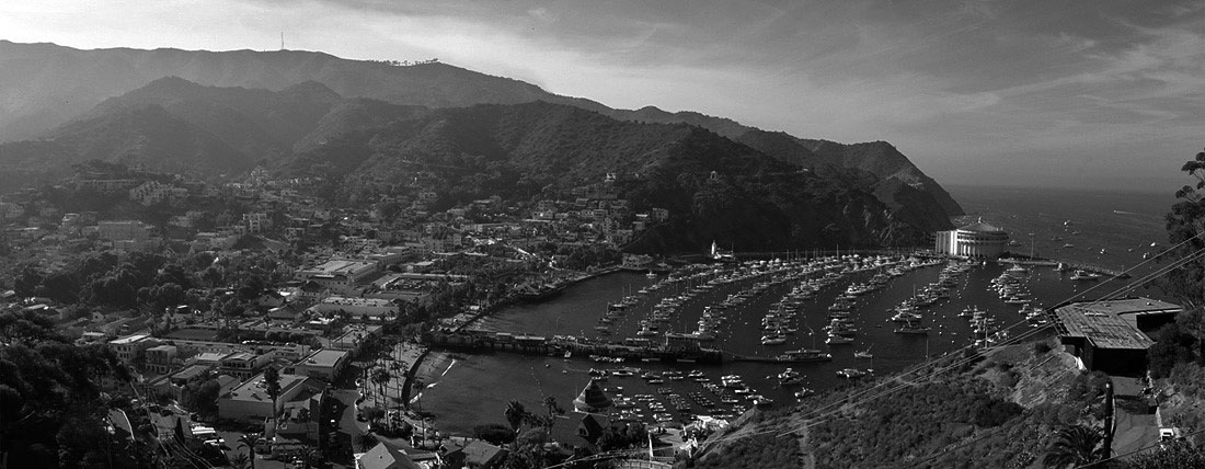 |
|
| (2004)* - Panoramic composite photo of Avalon Bay looking northeast. Photo by Aaron Logan / Wikipedia |
Historical Notes From above, Avalon Harbor appears tightly compressed between the crescent shaped bay and the steep hillsides rising behind the town. The protected marina, Crescent Avenue waterfront, and Catalina Casino dominate the harbor while the rugged terrain surrounding Avalon emphasizes how geographically constrained the town has always been. Limited flat land forced Avalon’s development into narrow coastal terraces and winding hillside neighborhoods that remain visually distinctive today. The aerial perspective also reveals the layered history embedded within the town itself. Victorian-era cottages survive alongside Wrigley-era resort buildings and later hillside residences, all compressed into a remarkably small geographic area. Despite more than a century of tourism development, Avalon still occupies only a small portion of Santa Catalina Island, with most of the surrounding terrain remaining undeveloped and protected through conservation efforts led largely by the Catalina Island Conservancy. |
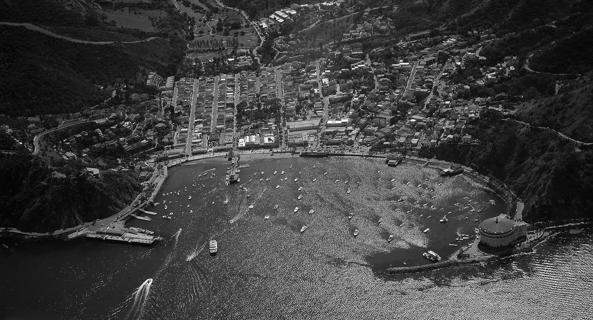 |
|
| (2012)* - Panoramic view of the town of Avalon, Catalina Island, and its bay as seen from the sky. Photo by Spartan7W / Wikipedia |
Historical Notes By 2012, Avalon had evolved into one of California’s best known small resort communities while still retaining much of its historic waterfront character. The harbor visible here reflects decades of engineering, preservation, and tourism infrastructure development beginning during the Banning era and accelerating dramatically after William Wrigley Jr. acquired controlling interest in the island in 1919. The breakwater, marina, waterfront promenades, and carefully maintained hillside neighborhoods all contribute to Avalon’s distinctive visual identity. The Catalina Casino remains the dominant architectural feature within the harbor, occupying the site where Sugarloaf Point once stood before its removal during the 1920s. Nearly every major era of Avalon’s development — from the Victorian tent city years to the modern tourism economy — remains visible in some form within the harbor landscape seen from above. |
| (ca. 2010s)* - Aerial view showing a boat entering Avalon Harbor. The rugged hills stand as a backdrop to the town of Avalon. Photo courtesy of Catalina Conservancyy |

Historical Notes Approaching Avalon Harbor from the sea remains one of the defining Catalina experiences much as it was during the age of excursion steamships more than a century ago. Although private pleasure craft and modern ferries have largely replaced the great passenger steamers of the Banning and Wrigley eras, the visual drama of Avalon’s harbor entrance remains remarkably similar. The Catalina Casino still anchors the northern edge of the bay while the town rises gradually along the shoreline and surrounding hillsides beyond. The rugged interior terrain visible above Avalon also illustrates why development across most of Santa Catalina Island remained relatively limited throughout its history. Large portions of the island remained isolated, difficult to access, and unsuitable for major urban expansion. The Catalina Island Conservancy, established in 1972 through a gift of land from the Santa Catalina Island Company and the Wrigley family, helped ensure that most of the island’s interior would remain protected from large-scale development for future generations. |
Catalina in the Larger Landscape
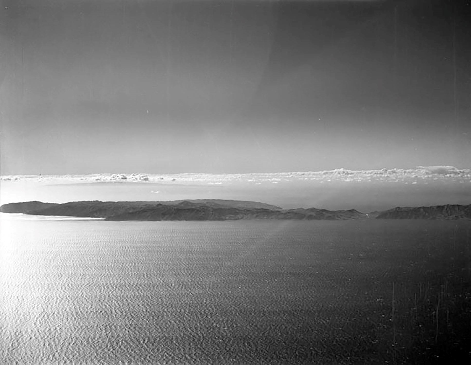 |
|
| (1955)* - Aerial view of Santa Catalina Island. Photo by Howard D. Kelly |
Historical Notes This 1955 aerial view captures Santa Catalina Island during the height of Southern California’s postwar tourism boom. The great steamship era was still active, but patterns of recreation were already beginning to change as private boating and automobile culture expanded rapidly across the region. Avalon itself remained visually similar to the Wrigley-era resort community established during the 1920s and 1930s, with the Casino, waterfront hotels, and hillside residences still defining the compact harbor settlement visible from the air. Viewed from above, the contrast between Avalon’s concentrated development and the island’s vast undeveloped interior becomes especially striking. While Avalon Harbor evolved into a busy recreational center, much of Catalina’s rugged landscape remained largely untouched by permanent urban development. This balance between resort community and open wilderness became one of the defining characteristics of Santa Catalina Island during the twentieth century. |
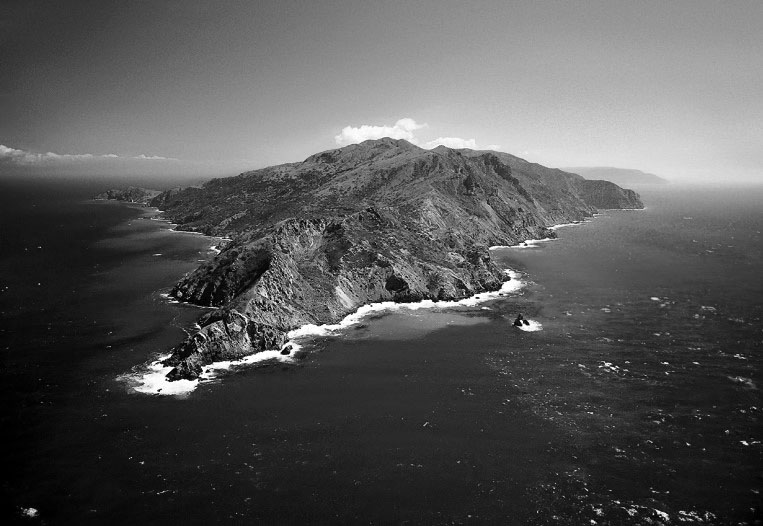 |
|
| (ca. 2007)* - Aerial view of Santa Catalina Island as seen from the northwest. |
Historical Notes Seen from the northwest, Santa Catalina Island appears as a long mountainous landmass rising sharply from the Pacific Ocean. The island’s steep ridges, deep canyons, rocky coves, and rugged coastline reveal the dramatic geology that shaped both its isolation and its appeal to generations of visitors. Long before Avalon emerged as a resort destination, Catalina’s landscape attracted fishermen, sailors, scientists, artists, and explorers drawn to the island’s remoteness and striking natural beauty. The tectonic forces that lifted Catalina from the ocean floor, the Tongva people who called the island Pimu, and the generations of developers and visitors who later reshaped portions of its shoreline all represent relatively brief chapters in the island’s much longer history. Despite more than a century of tourism and modernization along Avalon Harbor, most of Santa Catalina Island remains remarkably undeveloped. The island remains. |
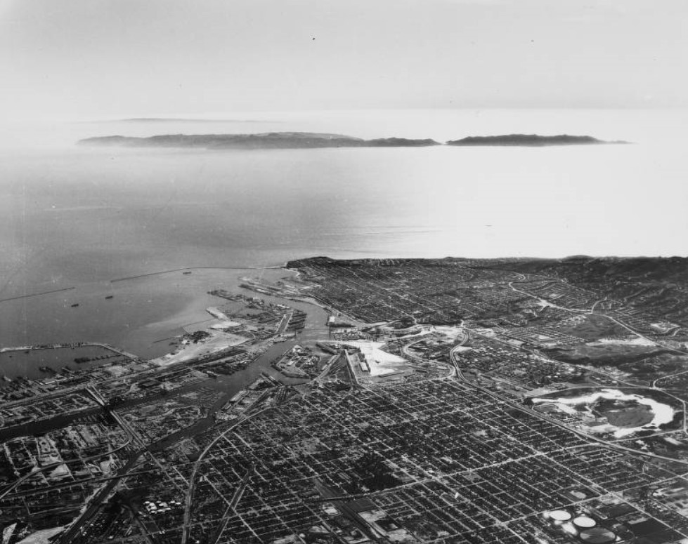 |
|
| (1964)* - Aerial View of Catalina Island as seen from over Los Angeles Harbor. Twenty-two miles from the mainland, yet appearing much, much closer. USC Image Archive |
Historical Notes This 1964 aerial view looking toward Catalina from above Los Angeles Harbor captures the geographical relationship that has always defined the island’s history. Although separated from the mainland by more than twenty miles of open water, Catalina appears surprisingly close from the air — near enough to remain deeply connected to Southern California culturally and economically, yet distant enough to preserve the feeling of escape that generations of visitors sought upon crossing the channel. By the mid twentieth century, millions of Southern Californians had come to associate Catalina with recreation, romance, sport fishing, steamship travel, big band music, and the distinctive silhouette of Avalon Harbor beneath the Casino. The island occupied a unique place in the regional imagination: neither fully remote nor fully urbanized, but existing somewhere between resort fantasy and everyday California life. Seen from above the mainland, Catalina appears simultaneously separated from Los Angeles and inseparably linked to it — a relationship that continues to define the island today. |
Research, writing, and image curation by Jack Feldman, Water and Power Associates, with editorial assistance.
* * * * * |
More Historical Early Views
Newest Additions
Early LA Buildings and City Views
History of Water and Electricity in Los Angeles
* * * * * |
References and Credits
* LA Public Library Image Archive
** Library of Congress Image Archive; Avalon Bay ca. 1914; Sugarloaf Point Access Road
^* Islapedia.com: Black Sea Bass
+# Jennett Family Collection - Courtesy of Gilbert C. Jennett
#+ Glass Bottom Boats - Catalina
## NY Times: Chicago Cubs in Catalina
+^ Californiafish.org: Black Sea Bass
+* S.S. Hermosa
++ Exploregram.com: Chicago Cubs
*^*Seaplanes of the Magic Isle
*^#Avalon: cawreckdivers.org.com
^*#California State Library Image Archive
#*^Catalina Island Chamber of Commerce
*#*Huntington Digital Library Archive
*##Flickr.com: Zane Grey Residence
^^*S.S. Avalon and S.S. Catalina
*^^California Historic Landmark Listing (Los Angeles)
**# KCET - Three Forgotton Incline Railways
^^#Virtual Tourist: Santa Catalina Island
^#*Pinterest.com: Catalina Island
*^*^University of Maryland Digital Archive
*^*#Facebook.com: Classic Hollywood-Los Angeles-SFV
#**^LA County Library Image Archive
**#*Creating a Landmark: the Historic Casino Point
## Library of Congress Image Archive
^*^*Denver Public Library Image Archive
^**^Catalina Island Scrapbook: voncoelln.com
^*^#Facebook.com - Bizarre Los Angeles
****Pamona Public Library’s Frasher Foto Postcard Collection
***^RJL Maps: Avalon Harbor Aerial
**^^Catalina Island Conservancy
*^^^Directionsmag.com: Satellite Image of Avalon Harbor
^#^Noirish Los Angeles - forum.skyscraperpage.com; Sugarloaf Point; Avalon; Avalon Bay; Tuna Club; Chicago Cubs at Catalina Bird Park; Casino Balcony; S.S. Catalina Passengers; Casino Close-up; 425 lb. Sea Bass
^**Cruising the Past: Catalina
^*^South Bay Daily Breeze: Seaplanes to Catalina; Hotel Metropole; Spring Training with the Cubs on Catalina
#***S.S. Hermosa: pasadenastarnews.com
*^ Wikipedia: Santa Catalina Island; William Wrigley, Jr.; Avalon Bay; Avalon; Tuna Club of Avalon; Catalina Island Bison ; Catalina Casino; Zane Grey
< Back