Early Los Angeles City Views (1900 - 1925)
Historical Photos of Early Los Angeles |
The Early Los Angeles Police Department (1900–1919) |
Introduction |
At the turn of the twentieth century, Los Angeles was one of the fastest growing cities in the United States, and its police department was challenged to keep pace with the city's remarkable growth. In 1900 the city had only about 70 police officers, roughly one for every 1,500 residents, patrolling an expanding network of streets increasingly shared by pedestrians, horse drawn vehicles, bicycles, streetcars, and the first automobiles. The introduction of Civil Service hiring in 1903 expanded the force to about 200 officers, although formal police recruit training would not begin until 1916. The photographs that follow document a remarkable period of transformation. Beginning with mounted patrols on unpaved streets, they trace the department's adoption of bicycles, electric patrol wagons, motorcycles, and other innovations that steadily reshaped police work. They also illustrate broader changes in organization, leadership, and public service as the Los Angeles Police Department evolved from a small frontier era force into a modern municipal police department serving one of America's fastest growing cities. |
 |
|
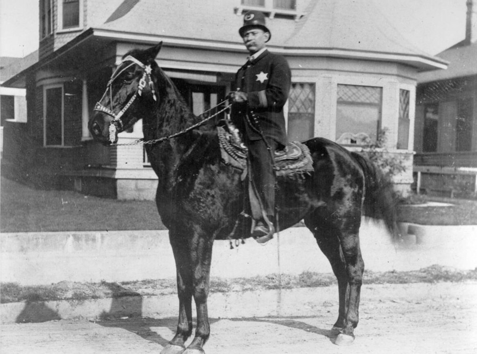
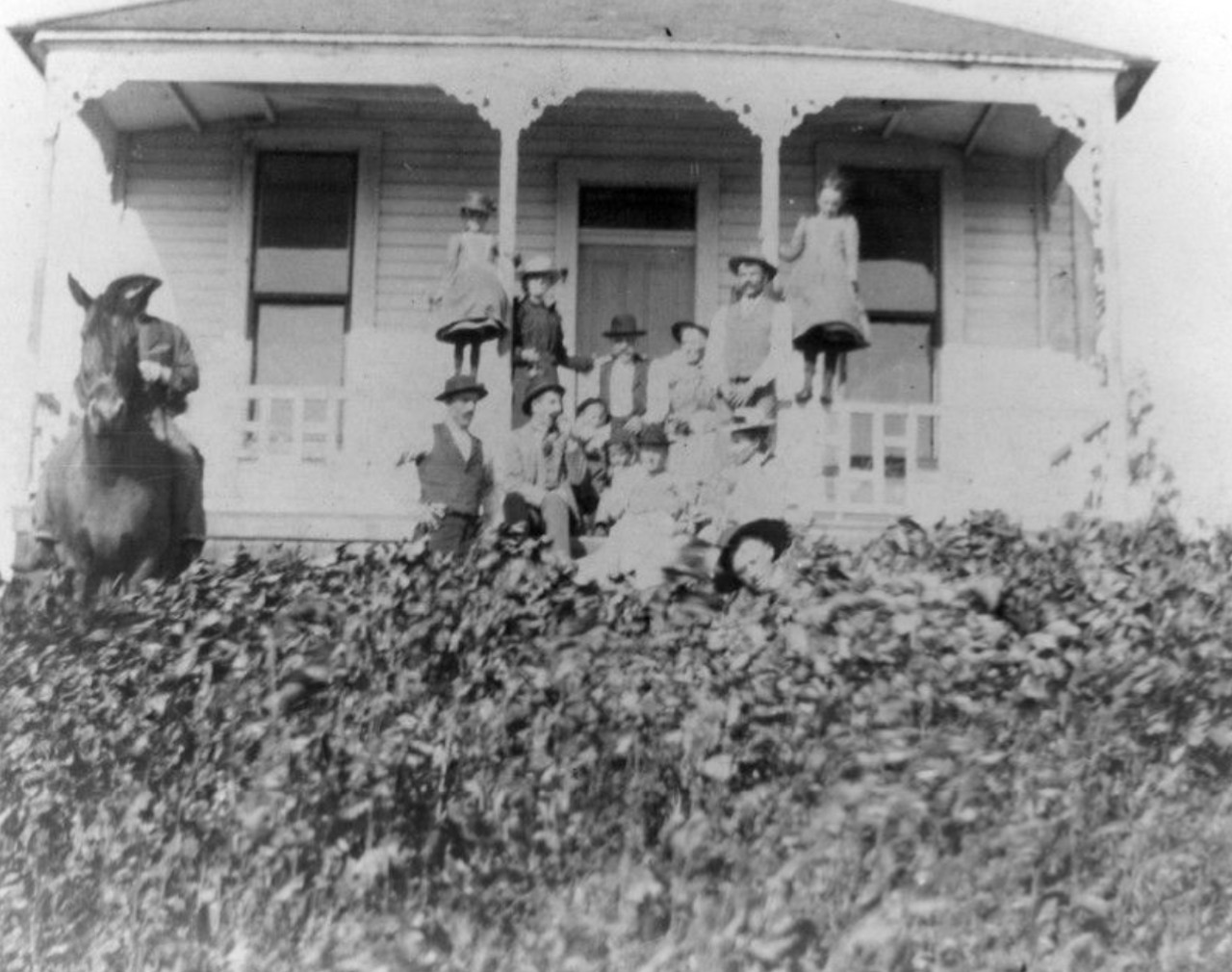
| (ca. 1900-1909)* - A mounted Los Angeles police officer poses on horseback in front of a Victorian style residence during the early years of the twentieth century. Before bicycles, motorcycles, and patrol cars became commonplace, mounted officers played an important role in patrolling the city's expanding neighborhoods and unpaved streets. |
Historical Notes During the late nineteenth and early twentieth centuries, mounted patrols were an essential part of the Los Angeles Police Department. Horses allowed officers to cover far greater distances than foot patrols while providing a commanding view of crowded streets and rapidly growing residential neighborhoods. Mounted officers also proved especially valuable on dirt roads and in outlying areas where early motor vehicles were still impractical. For many years, horses remained an important part of daily police work even as newer forms of transportation gradually appeared. Mounted patrols continued to serve alongside bicycles, motorcycles, and automobiles well into the twentieth century. |
 |
|
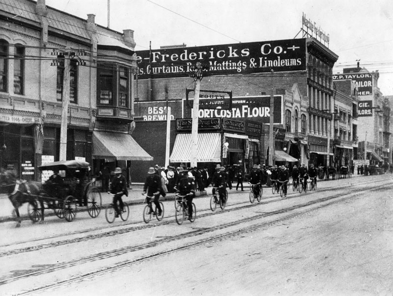
| (1904)* - The Los Angeles Police Bicycle Squad in the Mounted Police Parade on Broadway's west side, May 24, 1904 |
Historical Notes Bicycles offered an inexpensive and highly effective means of patrol during the early 1900s. They enabled officers to cover far more territory than foot patrols while maneuvering easily through crowded downtown streets, making them particularly useful before automobiles became practical for routine police work. The unusually large number of officers gathered here suggests the photograph was taken during a department parade, inspection, or ceremonial assembly rather than during normal patrol operations. |
 |
|
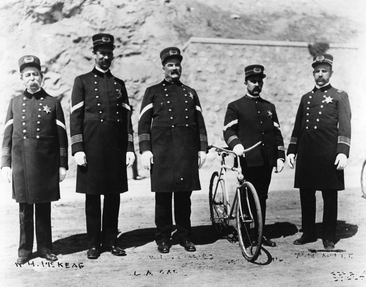
| (Early 1900s)^ - Five policemen in uniforms from the early part of the century pose for their picture. One holds a bicycle. |
Historical Notes The photograph captures a department in transition. While the officers still reflect many traditions of nineteenth century policing, standardized uniforms, badges, and equipment projected a growing sense of professionalism and public authority as Los Angeles expanded. Leadership during this period was often shaped by politics. Between 1900 and 1923, Los Angeles had sixteen different chiefs of police. The longest serving was Charles E. Sebastian, who led the department from 1911 to 1915 before being elected Mayor of Los Angeles. |
 |
|
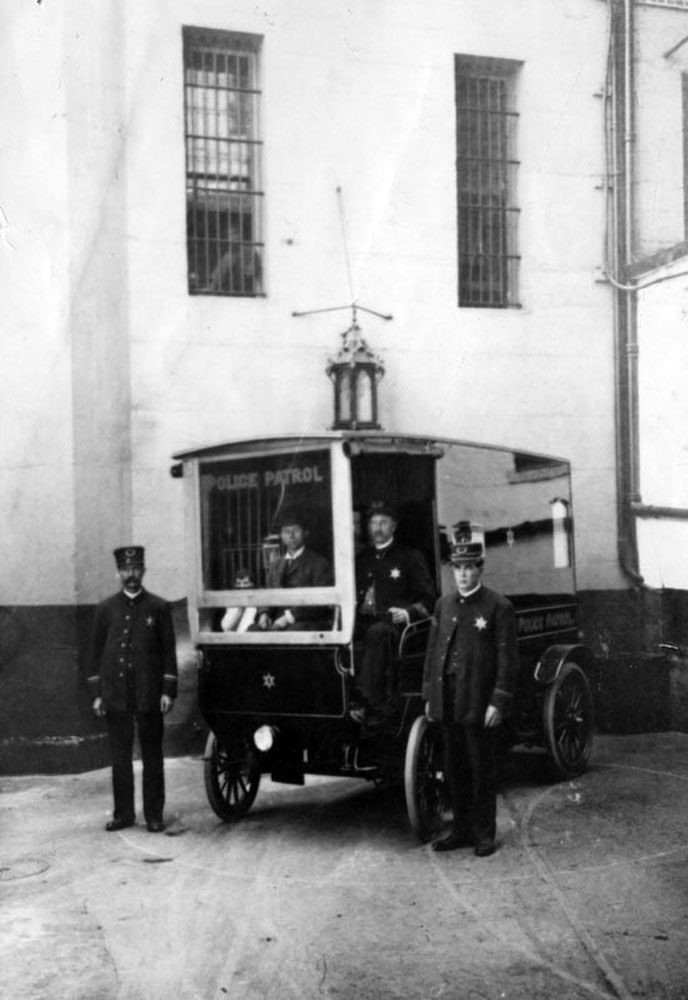
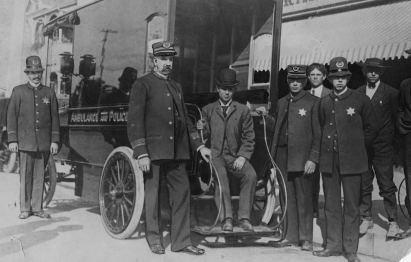
| (Early 1900s)* - Los Angeles' first horseless patrol wagon stands in front of the city prison. |
Historical Notes Purchased in 1904, Los Angeles' first motorized patrol wagon represented a major technological milestone for the department. Shown here in front of the Old Central Police Station and City Jail at 318 West First Street, the electric vehicle was powered by batteries and capable of speeds approaching 20 miles per hour. It served both as a prisoner transport and, when needed, as one of the city's earliest motorized ambulance vehicles. Although its operating range was limited, the electric patrol wagon demonstrated the practical advantages of motorized policing and helped pave the way for the gasoline powered patrol vehicles that soon followed. |
\ |
|
| (1927)* - Police officers pose beside Los Angeles' first horseless patrol wagon. Standing at the far right is George K. Home, who later became Chief of Police. Captain C. L. Johnson stands second from the left. Although this print is dated June 27, 1927, it commemorates the department's first electric patrol wagon introduced more than two decades earlier. |
Historical Notes This commemorative photograph reflects the pride officers took in one of the department's earliest technological innovations. By 1927, gasoline powered patrol cars had long replaced the experimental electric wagon, underscoring how rapidly police transportation had advanced since 1904. George K. Home later served as Chief of Police from July 1919 to September 1920. |
 |
|
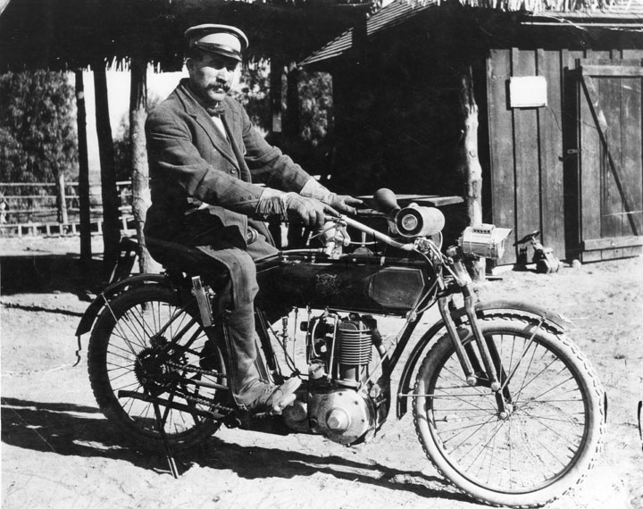
| (ca. 1915)* - Griffith Park's first motorcycle officer, Bob Brown, poses with his motorcycle near one of the park's buildings. |
Historical Notes As Griffith Park developed into one of the nation's largest municipal parks, motorcycles provided officers with a fast and practical means of patrolling its miles of roads, trails, and recreational areas. The Los Angeles Police Department organized one of the nation's earliest dedicated motorcycle units, known as the Speed Squad, in 1909. Motorcycles quickly proved their value for traffic enforcement, park patrol, and rapid response, becoming an important part of the department's growing fleet of specialized vehicles. |
 |
|
| (1919)* - Members of the Los Angeles Police Department pose in front of the Stephen M. White monument, the grounds of the Los Angeles County Courthouse. At center is Chief George K. Home. Standing second from the left in the front row is Alexander W. Murray, who would briefly serve as Chief of Police in October 1920. |
Historical Notes By 1919 the department had become a far more capable and professional organization than it had been at the beginning of the century. Motorcycles and motorized patrol vehicles had become standard equipment, while formal recruit training had recently been introduced to better prepare new officers for police service. The department had also made national history by appointing Alice Stebbins Wells as the nation's first sworn policewoman with full arrest powers in 1910, followed by Georgia Ann Robinson, who became the department's first African American female police officer in 1919. These milestones reflected a department that was steadily adapting to the needs of a rapidly growing and increasingly diverse city. |
* * * * * |
Pacific Electric Interurban Lines to Pasadena and Glendale Burbank |
In the early 1900s, Pacific Electric’s interurban lines made it possible to live in outlying communities and still travel quickly to downtown Los Angeles. Two of the most important routes served Pasadena and the Glendale–Burbank corridor, linking these growing communities directly with the commercial heart of Los Angeles. The Pasadena Short Line connected Los Angeles with Pasadena through the northeast communities and became a backbone route for daily travel.At the same time, the Glendale-Burbank line pushed north and northwest through Edendale (today’s Silver Lake and Echo Park area) toward Glendale and Burbank. As ridership grew and streets filled with automobiles, the system increasingly depended on private rights of way, cuts through hillsides, and grade separations to keep trains moving. One of the best known examples of this approach was the Fletcher Drive Viaduct, introduced in the next section. |
 |
|
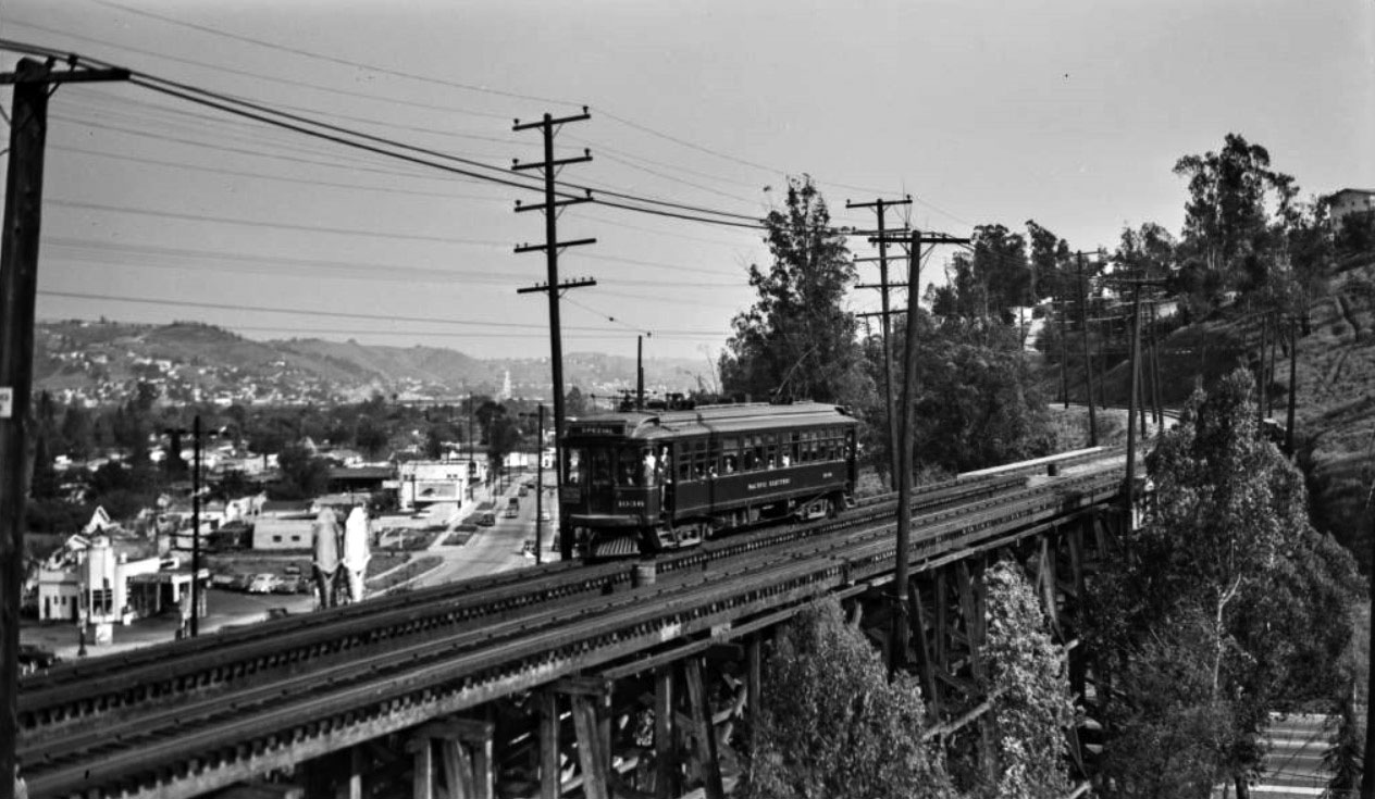
| (1904)* - Pacific Electric car No. 202 pauses on North Figueroa Street in Highland Park while en route to Pasadena. A conductor flags the car across the Los Angeles terminal tracks as an early automobile shares the street. |
Historical Notes This scene captures the interurban era before traffic signals and modern grade separations became common in Los Angeles. Interurban cars often ran in the street and still had to negotiate rail crossings and terminals where multiple railroads converged. The Pasadena Short Line became one of Pacific Electric’s key passenger routes between downtown Los Angeles and Pasadena and it remained in service into the early postwar years. |
 |
|
| (ca. 1904)* - A Pacific Electric car travels south near present-day Riverside Drive, with the Griffith Park hills in the distance and only scattered homes along the route. Much of this corridor later became part of the Interstate 5 alignment. |
Historical Notes The Glendale-Burbank route was built to serve communities that were still developing at the time. What looks semi rural in this image became a heavily traveled transportation corridor within a few decades. The line’s success helped reinforce Glendale’s growth and strengthened its ties to downtown Los Angeles. |
 |
|
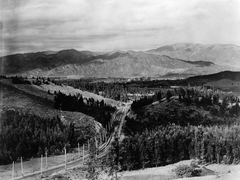
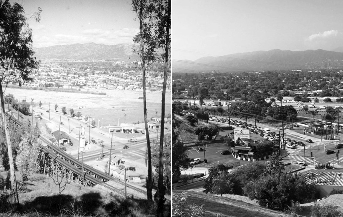
| (1904)* - Panoramic view looking north toward Glendale along the Pacific Electric line through the Edendale Cut. |
Historical Notes The Edendale Cut shows how Pacific Electric engineered its way through hilly terrain to maintain a practical rail route between downtown Los Angeles and Glendale. From this area the line continued toward the Fletcher Drive crossing, where a viaduct carried Red Cars above the roadway before the tracks climbed along the hillside toward the Monte Sano stop at Glendale Boulevard and Riverside Drive. This same emphasis on keeping trains moving efficiently and safely is what makes the Fletcher Drive Viaduct story such a natural next chapter. |
* * * * * |
From Interurban Routes to Elevated Crossings |
As Pacific Electric expanded service to Pasadena, Glendale, and Burbank, increasing street traffic and growing ridership forced the railway to find ways to keep trains running safely and on schedule. Private rights-of-way, hillside cuts, and grade separations became essential tools for avoiding delays at busy crossings. In the Fletcher Drive area, where rail lines and roadways converged near the Los Angeles River corridor, these challenges led to the construction of a dedicated viaduct that lifted Red Cars above the roadway. That structure, and the role it played in daily travel between Glendale, Burbank, and downtown Los Angeles, is the focus of the next section. |
Fletcher Drive Viaduct |
The Fletcher Drive Viaduct once carried Pacific Electric Red Cars high above Fletcher Drive near Riverside Drive in what is now Silver Lake. For more than fifty years it served the Glendale and Burbank interurban line, linking growing communities with downtown Los Angeles. Thousands of riders crossed this structure every day during the height of the Red Car era, making it a familiar part of daily life for commuters and shoppers alike.First built of wood in 1904 and later rebuilt in steel, the viaduct reflected how Los Angeles itself was evolving. It began in a semi rural landscape of open land and scattered development, then lasted into the modern freeway age. The trains that crossed here helped guide residential growth in Glendale, Atwater, and Burbank, extending the city’s reach beyond its early core. Although the bridge itself is gone, several of its concrete footings remain as quiet reminders of the region’s rail past and the time when electric trains played a central role in local transportation. |
Early interurban expansion and the wooden viaduct |
At the start of the 1900s Pacific Electric was expanding rapidly across Southern California, building one of the largest interurban rail networks in the world. These electric lines connected Los Angeles to surrounding towns and made longer distance daily travel practical for the first time. Communities along the routes often grew quickly once rail service arrived.The Glendale Burbank line required a high crossing over Fletcher Drive and the uneven ground near the Los Angeles River. Rather than drop into the low area and climb back out, engineers chose to carry the tracks on a long timber viaduct. This allowed trains to maintain a smooth grade while passing well above the road and floodplain below. |
 |
|
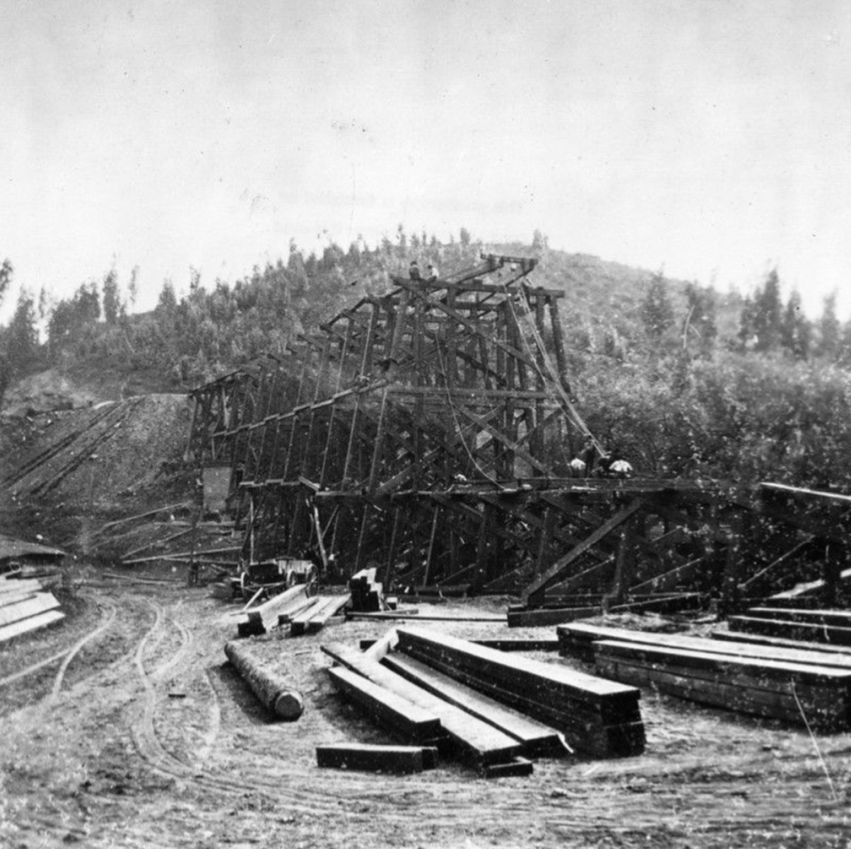
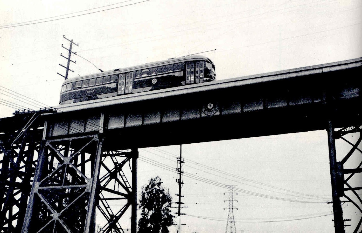
| (1904)* - Construction of the original Fletcher Drive Viaduct at Riverside Drive in the Edendale area, now part of Silver Lake. Built for the Pacific Electric Glendale and Burbank line. |
Historical Notes This photograph captures the Fletcher Viaduct at the moment Los Angeles’ interurban rail system was rapidly expanding. Pacific Electric was extending electric rail lines to outlying communities like Glendale and Burbank, making longer distance daily travel practical and helping to shape where people chose to live. Edendale, seen here in its early days, was still lightly developed and known for its open land and early motion picture studios. The structure under construction is called a viaduct because it carried trains high above the ground across a low lying area rather than directly over a river. While all viaducts are bridges in a broad sense, a viaduct usually spans land, streets, or shallow valleys. Here the goal was to keep the railway at a steady elevation above Fletcher Drive and the nearby floodplain of the Los Angeles River. The original version was a long timber trestle, a common and economical design for early rail projects. |
 |
|
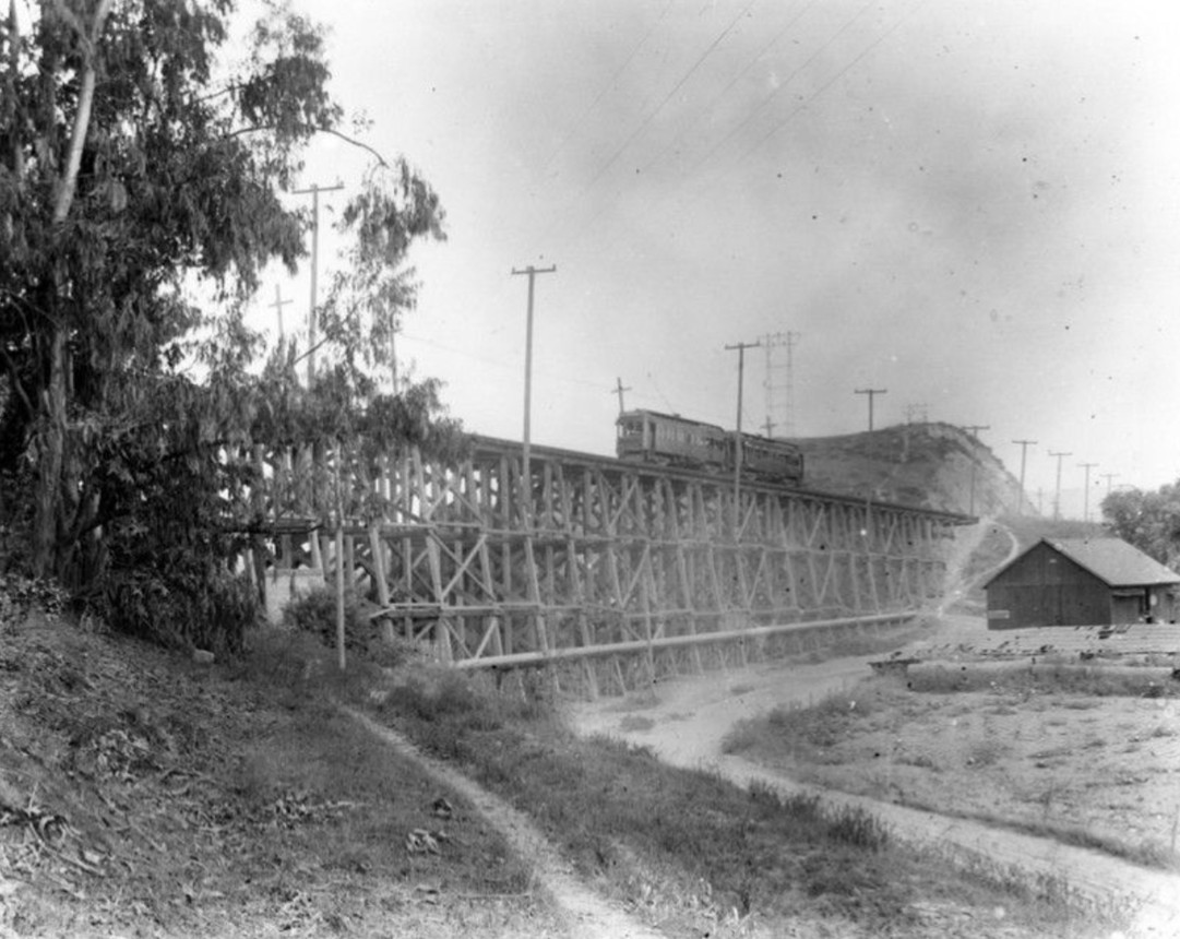
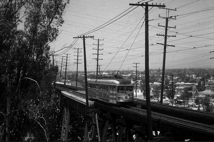
| (Early 1900s)* – Two Pacific Electric cars crossing the original timber Fletcher Drive Viaduct on the Glendale and Burbank line. |
Historical Notes This view shows the completed wooden viaduct in active service. The structure stretched roughly 450 feet in length and stood about forty feet above Fletcher Drive below. Its height allowed Red Cars to maintain a smooth grade without dipping into the low ground near the river. For riders, the elevated crossing also provided wide views of the surrounding countryside. At the time this image was taken, Pacific Electric was becoming one of the largest interurban systems in the world. Lines like this connected downtown Los Angeles with smaller but growing communities. Reliable electric rail service encouraged residential development along the routes and helped turn what had been semi rural districts into early suburbs. The Fletcher Viaduct was one of many structures that allowed Pacific Electric to maintain fast, direct routes across Southern California, and it formed a small but important piece of that larger network. |
* * * * * |
Rebuilding for a Changing City |
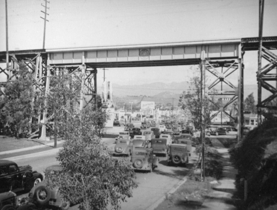
By the 1920s Los Angeles was growing at a remarkable pace. Streets were paved, traffic increased, and neighborhoods spread outward from the city center. What had once been rural routes were becoming busy urban corridors.Fletcher Drive was improved and widened as part of this growth. The original wooden trestle, though still functional, no longer fit the demands of a modernizing city. In 1928 Pacific Electric replaced it with a taller and stronger steel structure on concrete footings, a sign that the line was still considered important at the time. |
 |
|
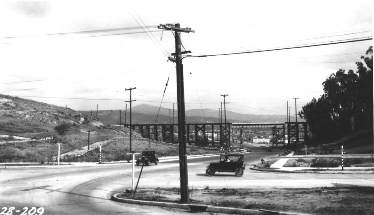
| (1928)* - View of Glendale Boulevard and Fletcher Drive looking northeasterly across the southeast corner. The Fletcher Drive Viaduct appears in the distance. Signs for Forest Lawn Memorial Park and Silver Ridge Avenue are visible. |
| Historical Notes
By the late 1920s Los Angeles was no longer a small city surrounded by open land. Streets were being paved, traffic was increasing, and neighborhoods were spreading outward from the downtown core. Fletcher Drive was improved as part of this wider push to modernize roads for automobiles and trucks. The original 1904 wooden viaduct was still standing at this time but was nearing the end of its useful life. Timber trestles required regular maintenance and were less suited to a busier and more urban setting. This period marked the beginning of the transition from the early rail oriented landscape to a city increasingly shaped by cars and paved boulevards. |
 |
|
| (ca. 1928)* - Pacific Electric streetcar crossing the rebuilt Fletcher Drive trestle on the Glendale and Burbank line. The Currie’s Ice Cream stand, topped by its distinctive rooftop cone sign, is visible at center left. |
Historical Notes In 1928 Pacific Electric replaced the aging wooden trestle with a new steel structure supported by concrete footings. The new viaduct rose more than sixty feet above the street, providing greater strength, durability, and clearance for the growing traffic below. Steel construction also reduced fire risk and maintenance compared to timber. Period photographs clearly show steel construction in the main span. Some images suggest that portions of the approach spans may have remained timber for a time. This type of phased replacement was common on Pacific Electric lines, where the highest and most critical sections were often rebuilt first. Surviving records do not fully document the exact sequence of replacement at Fletcher, but the visual evidence points to a gradual transition from wood to steel. |
* * * * * |
A Busy Corridor in the Red Car Era |
During the 1930s and 1940s the Fletcher Viaduct overlooked a lively and changing district. Rail lines, road traffic, and neighborhood businesses all met at this crossroads. Riders crossing the bridge had sweeping views toward Atwater, Glendale, and the San Gabriel Mountains.Local landmarks became part of the experience. Currie’s Ice Cream, with its eye catching rooftop cone, and nearby service stations gave the area a distinctly Southern California character. The viaduct was not just infrastructure but a familiar visual feature in the daily lives of residents. |
 |
|
| (ca.1938)* – View looking north from the Edendale area showing Pacific Electric tracks crossing Fletcher Drive near the intersection of Fletcher and Riverside in Silver Lake. The Currie’s Ice Cream shop appears on the northwest corner. |
| Historical Notes
This view captures the Fletcher Viaduct during a time when Pacific Electric service was still an important part of daily transportation. Trains passed regularly through this junction, carrying riders between downtown Los Angeles, Glendale, and Burbank. The surrounding area was filling in with homes, small businesses, and auto oriented services. Edendale, once known for its early film studios, was by this time transitioning into a residential and commercial district. The presence of both rail service and growing road traffic shows how Los Angeles in the 1930s supported multiple forms of transportation at once. |
 |
|
| (ca. 1939)* – View looking east on Fletcher at Riverside as seen from the top of the Fletcher Viaduct. |
| Historical Notes
Photographs taken from the top of the viaduct show how elevated the crossing was above the surrounding streets. From this vantage point riders could see across the Los Angeles River corridor toward Atwater and Glendale. The open views also remind us that much of the area was still less densely built than today. For passengers, the trip across the viaduct was a familiar part of commuting. The smooth electric ride and broad visibility were advantages that helped make interurban travel attractive during this period. |
 |
|
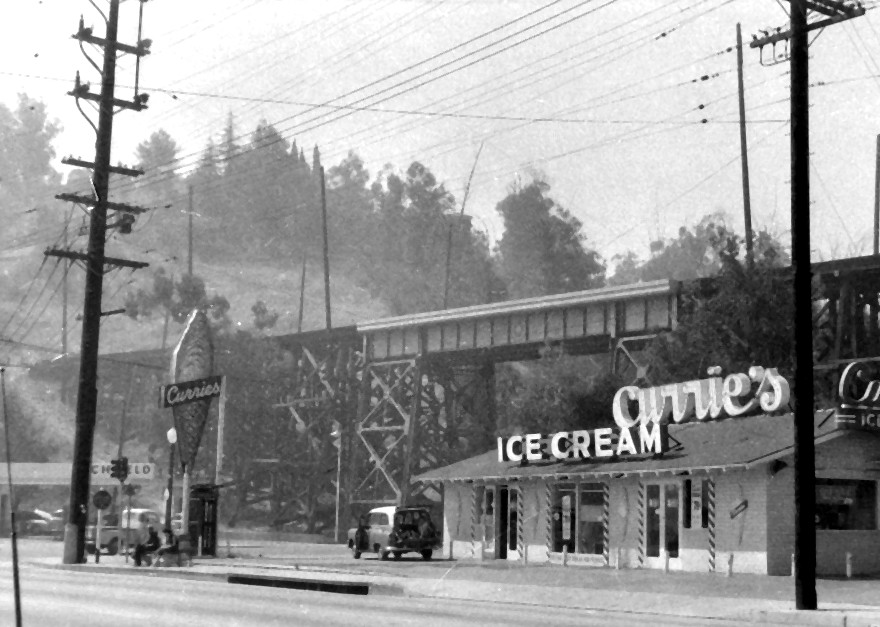
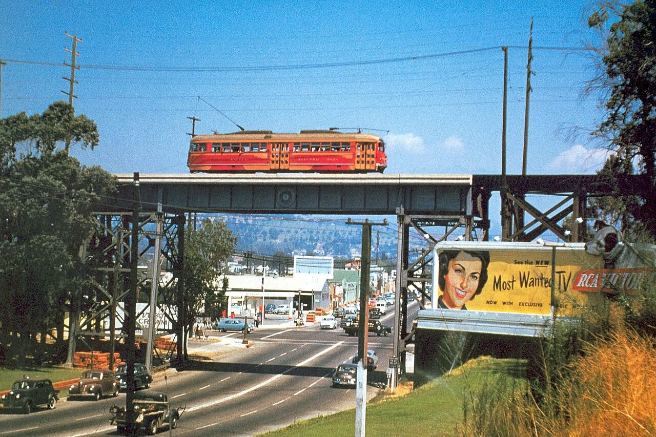
| (ca. 1938)* - View of the Fletcher Drive Viaduct with the steel trestles that replaced the wooden bridge in 1928. Currie’s Ice Cream at 2500 Riverside Drive is visible just past the bridge. Atwater Village, Glendale, and the San Gabriel Mountains appear in the distance. |
| Historical Notes
This image shows the steel version of the viaduct fully integrated into a growing urban setting. The lattice steel bents and plate girder spans reflect the engineering style of the late 1920s. By this time the structure had become a familiar landmark for both riders and motorists below. The background landscape shows how development was spreading outward into the valley communities. Once semi rural land was steadily becoming part of the greater Los Angeles urban area, with the Red Car lines helping guide that growth. |
 |
|
| (ca. 1940s)* – View showing the Fletcher Drive Viaduct with Currie’s Ice Cream in the foreground. The building remains today in remodeled form and is now occupied by Home Restaurant and Bar. |
Historical Notes Currie’s Ice Cream was a well known Southern California chain recognized for its large rooftop cone signs. This popular ice cream stand sat beside the viaduct at a busy crossroads where rail riders, motorists, and pedestrians all passed. Businesses like this benefited from the steady flow of people moving through the corridor. The survival of the building, even in altered form, provides a tangible link to the period when the Red Cars were still running overhead. It is one of the few physical reminders of the commercial landscape that once surrounded the viaduct. |
 |
|
| (ca. 1938)* - Ground view of the steel framed Fletcher Drive Viaduct that replaced the original wooden bridge. |
| Historical Notes
Seen from below, the viaduct’s steel framework gives a sense of its scale and industrial character. The repeating pattern of steel bents and cross bracing was typical of railroad construction of the era. The height provided safe clearance for vehicles and pedestrians using Fletcher Drive. Ground level views like this also show how closely rail and street life coexisted. The viaduct was not isolated infrastructure but part of the everyday environment of the neighborhood. |
* * * * * |
Decline of the Red Cars |
After World War Two Southern California entered a new transportation era. Automobile ownership surged and large freeway projects were planned across the region. Public transit systems that had once seemed permanent began to lose riders and political support. Pacific Electric gradually reduced service on many lines, including the Glendale–Burbank route. The Fletcher Viaduct, once busy with frequent trains, saw fewer cars each year as travel habits changed, though regular service continued into the mid-1950s. Some runs still operated with multiple cars during busier periods, showing that the line remained useful even as its long-term future grew uncertain. |
 |
|
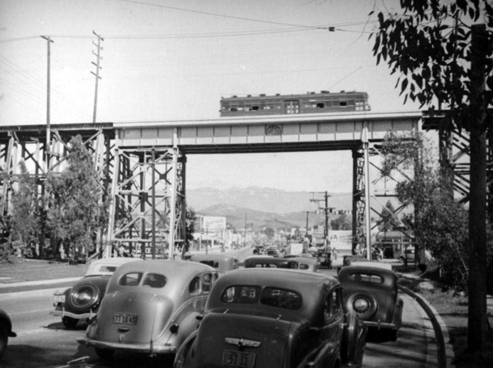
| (1946)* – A Pacific Electric streetcar speeds across the Fletcher Drive Viaduct. |
| Historical Notes
By the mid 1940s Pacific Electric was still operating frequent service on many lines, including the Glendale Burbank route. World War Two had briefly boosted ridership due to fuel rationing and wartime employment, and trains remained a dependable way to travel between communities. Even so, long term trends were shifting. Automobile ownership was rising and public agencies were planning larger road systems. This image represents the period when the Red Cars were still active but facing growing competition from private vehicles and buses. |
 |
|
| (ca. 1954)* - A downtown Los Angeles bound Pacific Electric Red Car crosses the Fletcher Drive Bridge. Photo by Donald Duke. |
| Historical Notes
By the early 1950s Pacific Electric was under increasing financial pressure. Maintaining track, power systems, and structures like the Fletcher Viaduct was costly. At the same time, improved highways made driving faster and more convenient for many riders. Service reductions began to affect several PE lines. While trains still ran, the system was no longer expanding as it had in earlier decades. The Fletcher crossing remained in use, but the system’s direction was already shifting away from interurban rail. |
 |
|
| (1955)* – Pacific Electric streetcar crossing on the Fletcher Drive Trestle. Photo by Alan Weeks. |
| Historical Notes
This image captures the line in its last year of operation. After service ended, the viaduct no longer carried regular trains, though the structure itself remained standing for a few more years. The end of service here was part of a broader regional shift. Southern California transportation planning increasingly favored road building and freeway construction over interurban rail. |
 |
|
| (1955)* – View showing Pacific Electric Railway car no. 5008 inbound at the Fletcher Drive trestle. The steel framed viaduct would be torn down in 1959, leaving only its concrete footings. |
Historical Notes This photograph was taken in the final year of passenger service on the Glendale Burbank line. Car no. 5008 is shown inbound toward downtown Los Angeles at a time when Pacific Electric was already reducing or discontinuing many routes. Although trains were still running here, the system was clearly in decline. After service ended in 1955, the viaduct remained standing but no longer carried regular rail traffic. By the late 1950s transportation priorities in Los Angeles had shifted strongly toward highways and road improvements. In 1959 the steel trestle was removed, marking the physical end of rail service at this crossing, though several concrete supports were left behind as quiet reminders of the Red Car era. |
 |
|
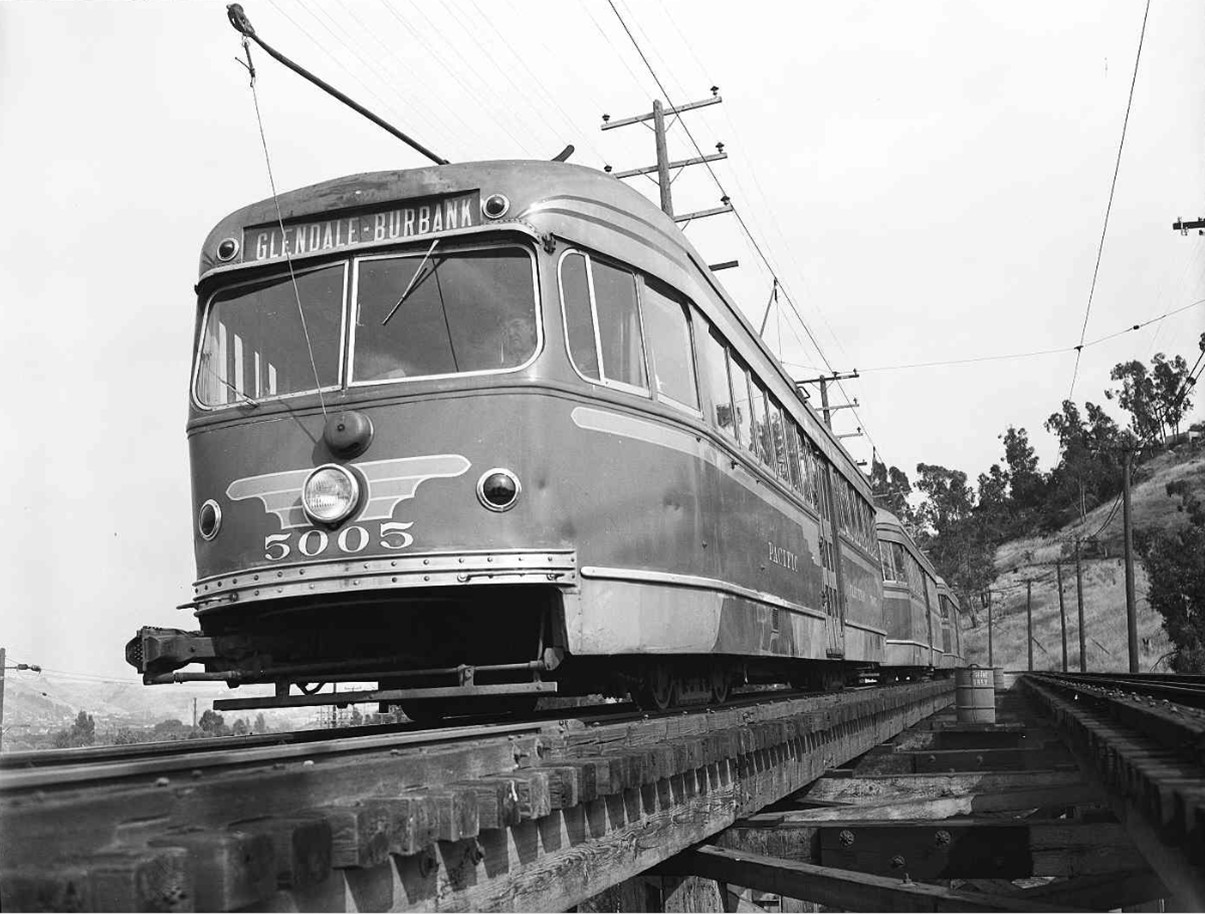
| (ca. 1955)* – Pacific Electric car 5005 leading a multi-car Glendale–Burbank line train across the Fletcher Drive Viaduct. |
| Historical Notes
This view shows car no. 5005 leading a short multi-car train during the final period of Glendale–Burbank service. While ridership had declined by the mid-1950s, trains could still operate in two- or three-car consists during busier periods, reflecting remaining commuter demand. By this time Pacific Electric was largely maintaining existing operations rather than expanding or modernizing. Structures like the Fletcher Viaduct remained in regular use, but the system’s long-term outlook was limited as Southern California increasingly invested in highways and automobile travel. |
 |
|
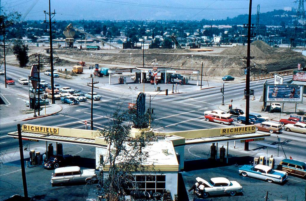
| (1950s)* – View looking northwest toward Fletcher and Riverside from a Glendale Red Car on the viaduct. Currie’s Ice Cream is visible at left while the Golden State Freeway is under construction below. The Forest Lawn chapel appears in the distance and a Richfield station sits in the foreground. |
| Historical Notes
This photograph vividly shows the overlap between the rail era and the freeway age. A Red Car is still in service above while freeway excavation is underway below. Gas stations and roadside businesses reflect the growing importance of automobiles. Scenes like this illustrate that the change from rail to auto was gradual rather than sudden. For a time both systems operated side by side, but investment and public policy were increasingly directed toward highways. The Fletcher Viaduct, once built for rail expansion, now stood over a corridor being reshaped for the automobile age. |
* * * * * |
Demolition and the Shift to the Auto Age |
When rail service ended, the steel viaduct stood unused for a short time. Its empty structure contrasted with the rising importance of roads and freeways below. Los Angeles was clearly turning toward the automobile.By 1959 the old Red Car structure was removed. Its demolition marked the end of more than half a century of rail service at this location and symbolized the region’s full embrace of auto oriented transportation. |
 |
|
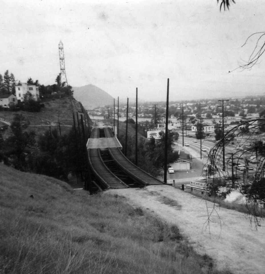
| (1959)* – Top view of the Fletcher Drive Viaduct shortly before demolition. A Richfield service station is visible below at center right. |
| Historical Notes
This image shows the viaduct near the end of its life, after rail service had already ceased. With no trains running, the structure stood as a leftover from an earlier transportation era. Meanwhile, automobile traffic and freeway construction were reshaping how Angelenos moved around the region. The Richfield station below reflects the growing dominance of car culture. Gas stations, road improvements, and freeway projects were receiving far more investment than rail lines. The viaduct, once built to support expansion, now had little practical role in the new transportation landscape. |
 |
|
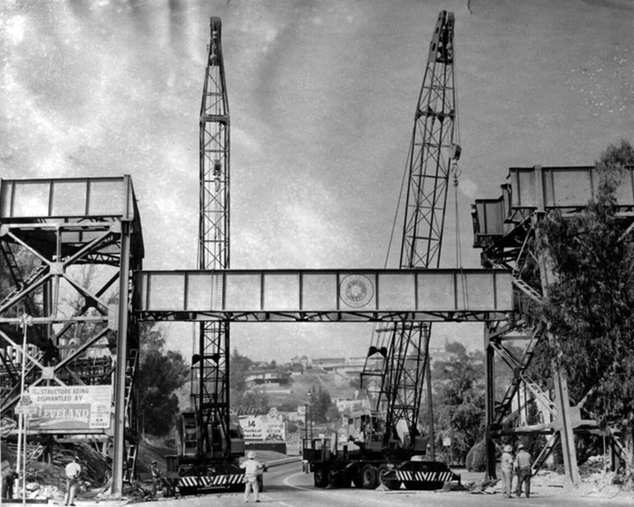
| (1959)* - Demolition of the former Pacific Electric bridge at Fletcher and Riverside drives. |
Historical Notes By 1959 the decision was made to remove the unused structure. Demolition crews dismantled the steel trestle, ending more than fifty years of rail presence at this crossing. The removal also simplified the road corridor below, which now served increasing automobile traffic. The demolition of the Fletcher Viaduct mirrored what was happening across much of Southern California. As interurban rail lines disappeared, their structures were removed or repurposed while freeways expanded. The region was entering what is often seen as the peak era of auto oriented planning. |
* * * * * |
What remains today |
Although the bridge is gone, parts of it still survive in plain sight. Concrete footings and pylons remain near Fletcher and Riverside, linking today’s landscape with the Red Car era.For many people they are just odd concrete forms, but to those who know the history they mark the exact place where interurban trains once crossed high above the street. |
 |
|
| (2022)* – Looking southwest on Fletcher Drive near Riverside Drive toward the former site of the Fletcher Drive Viaduct. |
Historical Notes Although the Fletcher Drive Viaduct itself is gone, parts of it still survive in plain sight. Several concrete footings and pylons from the 1928 steel structure remain near Fletcher and Riverside. These supports once carried the steel bents that held the Red Car tracks high above the street. Today many passersby may not recognize these remnants for what they are. Yet they mark the exact location where Pacific Electric trains once crossed between Los Angeles and the growing communities to the north. Because of their historical value, the remaining structures have been designated Los Angeles Historic Cultural Monument No. 770, helping ensure that this small piece of the Red Car era is not entirely lost. |
* * * * * |
Then and Now |
Comparisons between past and present reveal how completely the corridor has changed. Rail lines and trestles have given way to streets and freeways, and the surrounding neighborhoods are far more developed.Yet the alignment still tells the story for those who know where to look. The remaining footings and the curve of the roads trace the path of a transportation system that once defined how Angelenos moved around their growing city. |
 |
|
| (1959 vs 2022)* – Looking southwest on Fletcher Drive near Riverside Drive showing the Fletcher Viaduct before demolition and the same view today. Photo comparison by Jack Feldman. |
| Historical Notes
This comparison shows how completely the viaduct has disappeared from the streetscape. In the earlier view, the steel trestle dominates the scene as it crosses high above Fletcher Drive. In the modern view, only the roadway and surrounding development remain, with little visual evidence that a major rail structure once stood here. Careful observers can still find traces of the past. Some of the original concrete footings survive nearby, and the alignment of Fletcher and Riverside still reflects the corridor the railway once followed. The pairing illustrates how transportation systems can leave lasting marks on the landscape even after the structures themselves are gone. |
Then and Now
 |
|
| (1938 vs. 2019)* - View looking down toward the intersection of Fletcher and Riverside drives in a past and present comparison. Photo comparison by Jack Feldman. |
| Historical Notes
This comparison highlights how the surrounding neighborhood has evolved. The earlier image shows the viaduct and a more open landscape shaped by rail service and smaller scale development. The modern scene reflects a fully built urban environment oriented around streets and automobiles. While the Red Cars are long gone, the intersection remains an active crossroads in the community. The Then and Now view helps place the historic images in a recognizable setting, allowing viewers to connect the past with the present day city they know. |
Legacy |
The Fletcher Drive Viaduct is gone, but its story remains woven into the landscape of Silver Lake and Atwater. For more than half a century it carried electric trains that helped shape where people lived, worked, and traveled. It stood during a time when rail lines defined the growth of greater Los Angeles.Today only a few concrete supports remain, easy to overlook for those who do not know their history. Yet they mark the path of a system that once connected communities and guided development across the region. The viaduct’s rise and removal mirror the larger story of Los Angeles itself, a city that moved from rail to roads, and from interurban travel to the freeway age. |
* * * * * |
Edendale |
 |
|
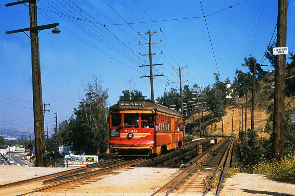
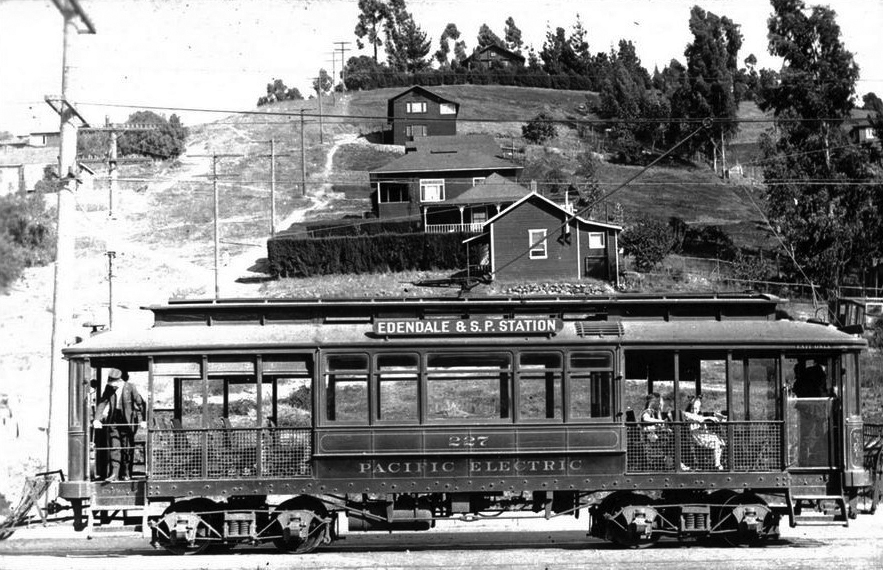
| (ca. 1914)^## – View showing Pacific Electric City Car No. 227 on the Edendale Glendale-Burbank Line. |
Historical Notes Edendale was the valley along Glendale Boulevard that traverses from Echo Park to the beginning of the 2 Freeway. Today the area is considered Silverlake on the west side and Elysian Park to the east. The grass median that runs along Glendale Boulevard used to be the Red Line Train that ran from downtown and would eventually be extended to Glendale along the hills behind the Red Lion Tavern. Edendale was widely known as the home of most major movie studios on the West Coast. Among its many claims, it was home to the Keystone Kops, and the site of many movie firsts, including Charlie Chaplin's first movie, the first feature-length comedy, and the first pie-in-the-face. The Edendale movie studios were mostly concentrated in a four-block stretch of Allesandro Street, between Berkeley Avenue and Duane Street. Allesandro Street was later renamed Glendale Boulevard (and a smaller nearby street took on the name Allesandro). The name Edendale is no longer used as a place name, and is little known today. A few remnants of the name are the local post office (officially called Edendale Station), a public library branch, an urban farm called Edendale Farm and a restaurant called Edendale. Although many of the structures from the 1910s remain and can be identified by careful comparison with old photos, this district today is located in an unremarkable commercial zone called the "Glendale Boulevard Corridor," which is known mostly for its function as a commuter thoroughfare between the southern end of the Glendale Freeway and downtown Los Angeles.*^ Click HERE to see a 1916 map showing the location of Edendale. |
 |
|
| (1910s)^.^ – Edendale Map showing all the studios along Allessandro Street (later Glendale Boulevard). |
Historical Notes The Los Angeles district of Edendale was one of the biggest producers of motion pictures in the entire world. It was here that the first screen pie fight broke out. It was also here that Roscoe “Fatty” Arbuckle and Mabel Normand became household names. Ant it was also in Edendale that an unknown English music-hall performer named Charles Chaplin first picked up a cane and derby, pasted on a stage mustache, slid into some baggy pants and an unusually large pair of mismatched boots, and waddled into the hearts of movie watchers worldwide.^ The Edendale movie studios were mostly concentrated in a four-block stretch of Allesandro Street, between Berkeley Avenue and Duane Street. Allesandro Street was later renamed Glendale Boulevard (and a smaller nearby street took on the name Allesandro). The former Mack Sennett Studio where Keystone Kops films were shot still stands behind a Jack in the Box -- although it's been repurposed as a Public Storage facility. Click HERE for contemporary view. |
* * * * * |
Selig Polyscope Company Studio
 |
|
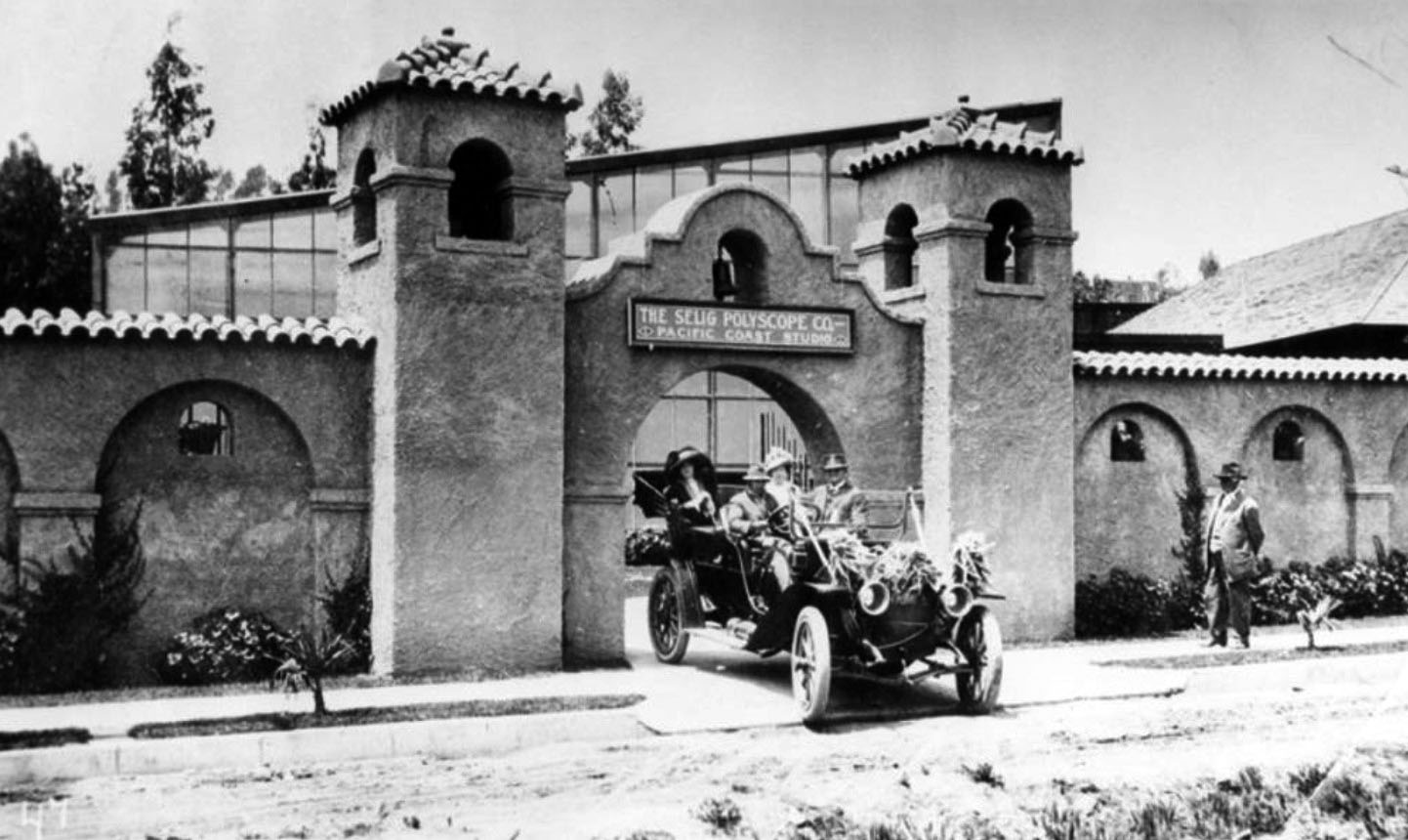
| (ca. 1909)* - An early automobile is pulling out of the driveway of The Selig Polyscope Co., Pacific Coast Studio, onto an unpaved street. The studio is built in Mission Revival style located at 1850 Allesandro Street, later renamed Glendale Boulevard, in Edendale. |
Historical Notes Attracted by Southern California's mild, dry climate and varied geography for location shooting, William Selig set up his studio in Edendale in 1909 with director Francis Boggs, who began the facility in a rented bungalow and quickly expanded, designing the studio's front entrance after Mission San Gabriel.*^ |
 |
|
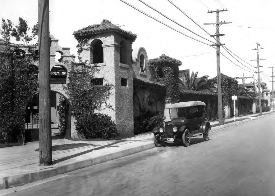
| (ca. 1910)* - Street view showing a car parked in front of the Selig Polyscope Company Studio in Edendale. |
Historical Notes Selig Plyscope Company produced hundreds of early, widely distributed commercial moving pictures, including the first films starring Tom Mix, Harold Lloyd, Colleen Moore, and Roscoe "Fatty" Arbuckle. In 1917 Selig sold the Edendale facility to producer William Fox and moved his movie studio to his zoo located in east Los Angeles. Meanwhile, World War I cut severely into the substantial revenues Selig Polyscope had been garnering in Europe and the company shunned profitable movie industry trends, which had shifted towards dramatic (and more costly) full length feature films. Selig Polyscope became insolvent and ceased operations in 1918.*^ Click HERE to see more on the Selig Zoo. |
* * * * * |
William Fox Studio (formerly Selig Studio)
 |
|
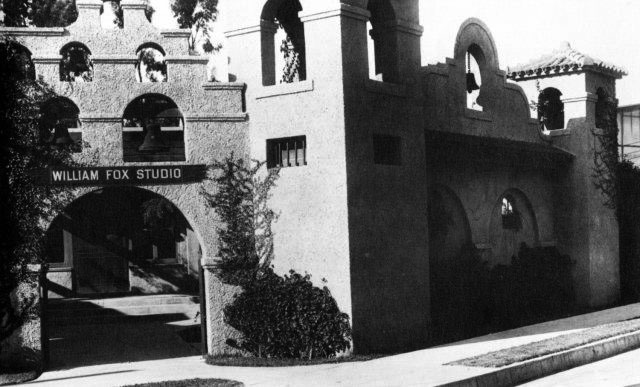
| (ca. 1917)* - William Fox Studio at the former Selig Polyscope Co. Studio. Fox bought it from Selig around 1917. |
Historical Notes Long before there was Twentieth Century-Fox, there was the William Fox Studios at 1845 Allesandro St. in what was then called Edendale. |
 |
|
| (ca. 1916)* - Selig studio building and swimming pool, leased by William Fox, located at the corner of Alessandro Avenue (later Glendale Boulevard) and Clifford Street. Two cars are parked, and there is a wave-making machine in the pool. |
Historical Notes William Fox (born as Wilhelm Fuchs) was a Hungarian-American motion picture executive, who founded the Fox Film Corporation in 1915 and the Fox West Coast Theatres chain in the 1920s. Although he lost control of his movie empire in 1930, his name lives on in the names of various media ventures, which are currently either owned by Rupert Murdoch, such as the Fox Broadcasting Company and the Fox News Channel, or by The Walt Disney Company, such as 20th Century Fox and 21st Century Fox.*^ |
* * * * * |
Mack Sennett Studios (aka Keystone Studios)
 |
|
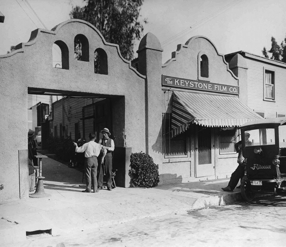
| (ca 1917)* - A high view of the Mack Sennett Studios showing many open-roofed studios with cloth diffusers. A huge sign reads: "Paramount-Comedies-Mack Sennett-Comedies." Paramount Pictures distributed Sennett's silent films from 1917 to 1921. The present address of the site is 1712 Glendale Boulevard, Echo Park. |
Historical Notes Keystone Studios was an early movie studio founded in Edendale (which is now a part of Echo Park) on July 4, 1912 as the Keystone Pictures Studio by Mack Sennett with backing from actor-writer Adam Kessel and Charles O. Baumann, owners of the New York Motion Picture Company. The company filmed in and around Glendale and Silver Lake for several years, and its films were distributed by the Mutual Film Corporation between 1912 and 1915.*^ The original main building, the first totally enclosed film stage and studio in history, is still standing at Glendale Blvd. between Aaron and Effie Streets in Echo Park, although it's been repurposed as a Public Storage facility. |
 |
|
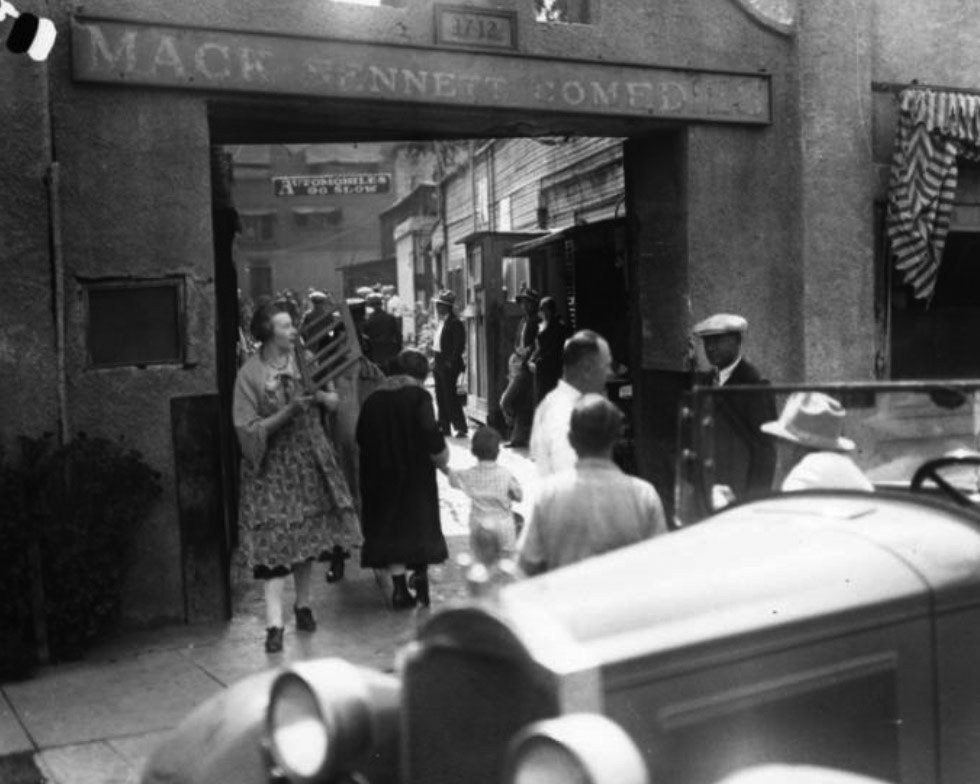
| (ca. 1917)* – Two men stand at the entryway to the Mack Sennett Studios while another two men are by an electric vehicle parked at the curb. The entrance was located at 1712 Allesandro Street (later Glendale Boulevard around 1922-23) in Edendale (later Echo Park). |
Historical Notes The studio is perhaps best remembered for the era under Mack Sennett when he created the slapstick antics of the Keystone Cops, from 1912, and for the Sennett Bathing Beauties, beginning in 1915. Charles Chaplin got his start at Keystone when Sennett hired him fresh from his vaudeville career to make silent films. Other important actors worked at Keystone toward the beginning of their film careers, including Marie Dressler, Harold Lloyd, Mabel Normand, Roscoe Arbuckle, Gloria Swanson, Louise Fazenda, Raymond Griffith, Ford Sterling, Ben Turpin, Harry Langdon, Al St. John and Chester Conklin. |
 |
|
| (ca. 1917)^ – View showing the entrance to the Mack Sennett Comedies studio, located at 1712 Allesandro Street in Edendale. |
Historical Notes Mack Sennett's slapstick comedies were noted for their wild car chases and custard pie warfare, especially in the Keystone Cops series. Additionally, Sennett's first female comedian was Mabel Normand, who became a major star under his direction and with whom he embarked on a tumultuous romantic relationship. Sennett also developed the Kid Comedies, a forerunner of the Our Gang films, and in a short time, his name became synonymous with screen comedy which were called "flickers" at the time. Sennett departed the studio in 1917 to produce his own independent films (eventually distributed through Paramount). Keystone's business decreased after his departure, and finally closed after bankruptcy in 1935.*^ |
* * * * * |
Norbig Studios (Reaguer Porductions) |
Before Hollywood became synonymous with the motion picture industry, the center of filmmaking in Southern California was a hilly district northwest of downtown Los Angeles known as Edendale. Between 1909 and the late 1920s, a four-block stretch of Allesandro Street (now Glendale Boulevard) was home to the highest concentration of movie studios on the West Coast. The Selig Polyscope Company built Los Angeles' first permanent motion picture studio here in 1909, and Mack Sennett soon followed with his Keystone Studios, where silent comedy flourished. Charlie Chaplin made his first film in Edendale, and its steep streets, open lots, and passing Pacific Electric Red Cars became familiar backdrops in countless silent films.For nearly two decades, filmmakers, actors, technicians, and Pacific Electric Red Cars shared this busy corridor, making Edendale one of the most active motion picture districts in the world.Located between the Selig and Keystone studios was Norbig Studios at 1745-1751 Allesandro Street. Established around 1913 by Frank Norton and Frank Biggy, whose surnames combined to form the name "Norbig," the property was unlike its larger neighbors. Rather than serving a single production company, it operated primarily as a rental studio, providing shooting stages, laboratory facilities, and office space to independent filmmakers. In today's terms, it functioned as an incubator for small production companies during the formative years of Southern California's motion picture industry.Although overshadowed by its famous neighbors, Norbig Studios played an essential role in Edendale's success by providing affordable facilities for independent filmmakers. Its constantly changing roster of tenants reflected the creativity, experimentation, and entrepreneurial spirit that defined the earliest years of Southern California's motion picture industry. While larger studios eventually expanded to Hollywood, Culver City, Universal City, and elsewhere, Norbig's contribution to the industry's formative years remains an important part of Los Angeles film history. |
 |
|
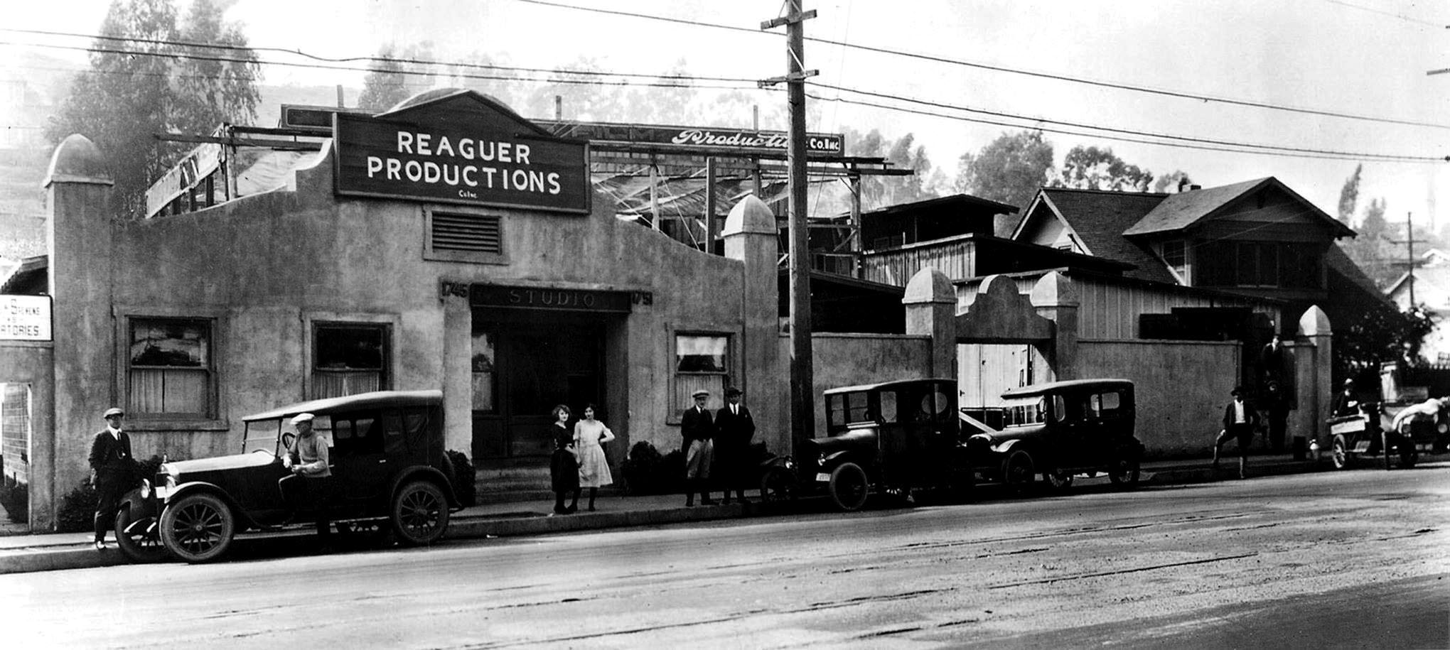
| (1922)* – View showing Reaguer Productions located in the Norbig Studios at 1745-1751 Allesandro (now Glendale Blvd), between Aaron and Branden Streets, on the border between Echo Park and Silverlake. Click HERE for contemporary view. |
Historical Notes The Norbig Film Manufacturing Company occupied one of the last available studio sites along Edendale's famous movie row, situated between the Selig Polyscope and Mack Sennett Keystone studio complexes. Although Norbig produced some films of its own, its principal business was renting studio space to independent filmmakers who lacked permanent facilities. The lot included shooting stages, production offices, and a film laboratory, making it an attractive home for many small companies during the rapidly expanding silent film era. Among its most notable tenants was Hal Roach's Rolin Film Company, which leased the property during the mid-1910s. It was here that Harold Lloyd developed his early "Lonesome Luke" character before becoming one of Hollywood's greatest silent comedians. Lloyd even returned to film scenes for his 1918 comedy Hey There at the studio entrance visible in this photograph. By the early 1920s, the gate displayed the name Reaguer Productions, one of many companies that occupied the lot as independent producers came and went during the industry's formative years. The above Edendale lot, now gone, was owned by Norbig Studios. It served as a rental lot housing many early companies, including: ◆ Norbig Studios (1914-1919) |
 |
|
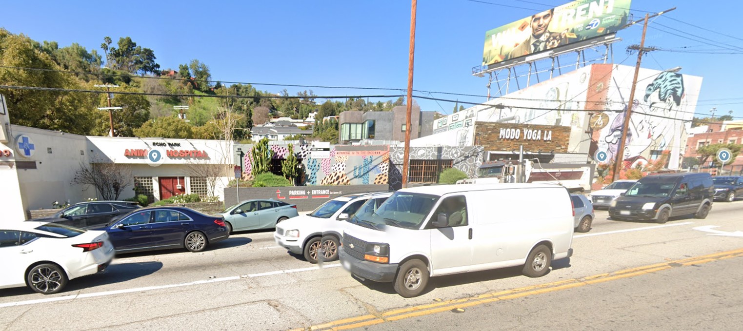
| (2023)* - Looking at the west side of Glendale Boulevard (formerly Allesandro Street) where Norbig Studios, Reaguer Productions, and many other early motion picture companies once operated. |
Historical Notes Nothing remains today of the bustling studio lot that once occupied this block of Glendale Boulevard. During the silent era, however, this stretch of roadway formed part of one of the busiest filmmaking districts in America. Pacific Electric Red Cars traveled down the center of the boulevard, providing convenient transportation for actors, technicians, film stock, and studio employees traveling between downtown Los Angeles and the growing motion picture district. As the film industry expanded during the 1920s, producers increasingly sought larger studio properties in Hollywood, Culver City, Universal City, and other nearby communities. Edendale gradually transitioned into the residential neighborhoods now known as Echo Park, Silver Lake, and Los Feliz. Construction of the Glendale Freeway after World War II further transformed the area, leaving few visible reminders that this was once one of the birthplaces of Southern California's motion picture industry. The nearby Mack Sennett Keystone studio building, now repurposed, remains one of the few surviving landmarks from Edendale's pioneering film era. |
Then and Now
 |
|
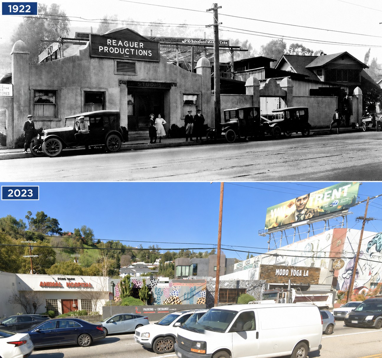
| (1922 vs 2023)* - Looking at the west side of Glendale Boulevard (formerly Allesandro Street) where Reaguer Productions, Norbig Studios, and many other early motion picture companies once operated. Located at 1745-1751 Allesandro Street (now Glendale Boulevard), between Aaron and Branden Streets. Photo comparison by Jack Feldman. |
Historical Notes These two views span more than a century of change. In the earlier photograph, the Norbig lot operated under the Reaguer Productions sign as one of Edendale's best-known rental studios. Situated between the pioneering Selig Polyscope studio and Mack Sennett's Keystone Studios, it occupied the heart of Edendale's famous studio district. Independent producers, actors, directors, and technicians passed through these gates as they helped build an industry that would soon captivate audiences around the world. Today the same location appears as an ordinary commercial corridor, with little evidence of its extraordinary past. As Edendale reached the limits of its available space, the rapidly growing motion picture industry expanded into larger studio complexes throughout Los Angeles. Yet the innovations, entrepreneurial spirit, and creative energy that flourished here helped establish Southern California as the world's leading center of filmmaking. Although the studio buildings have disappeared, their legacy lives on in the history of American cinema. |
* * * * * |
Silver Lake |
Nestled between Echo Park, Los Feliz, and Atwater Village, just northeast of downtown Los Angeles, Silver Lake is today known for its hillside neighborhoods, architectural landmarks, and creative culture. Yet beneath the streets and houses of modern Silver Lake lies a much older story of farms, orchards, reservoirs, silent movie studios, and one of the city's earliest suburban landscapes.Originally known as Ivanhoe, the area took its present name from the Silver Lake Reservoir, completed in 1908 and named for water commissioner Herman Silver. The reservoir would reshape both the landscape and the identity of the community, but before the water arrived, much of the area consisted of open pastureland, hay fields, orchards, and small family farms stretching across the valley floor and lower hillsides.During the late nineteenth and early twentieth centuries, this rural landscape existed only a few miles from downtown Los Angeles. The photographs that follow preserve a remarkable record of that forgotten world and document the transformation of Silver Lake from farmland to one of the city's most distinctive neighborhoods. |
 |
|
| Current map showing the commonly recognized boundaries of the Silver Lake neighborhood within Los Angeles. The community is centered around the Silver Lake Reservoir and is generally bounded by the Los Angeles River and Riverside Drive to the north and east, the Hollywood Freeway to the south, and Hoover Street and Virgil Avenue to the west. As with many Los Angeles neighborhoods, exact boundaries vary somewhat depending on the source. |
* * * * * |
Before the Reservoir: Life on the Bonadiman Farm |
Long before Silver Lake became known for its reservoir and hillside neighborhoods, much of the area consisted of open pastureland, hay fields, orchards, and small family farms. Among the earliest and best documented was the Bonadiman farm, located near present day Benton Way, Scott Avenue, Coronado Street, and McCollum Street.The Bonadiman family worked the property as tenant farmers, raising dairy cattle, keeping chickens, cutting and selling hay, and tending an olive orchard on land leased from local property owner George Smith. Family records indicate that the farm was operated jointly with members of the related Passarini family, creating one of the best documented agricultural operations in early Silver Lake.The photographs in this section follow the Bonadiman family through the final years of Silver Lake's rural era. Together they preserve a remarkable visual record of daily life in a farming community that existed only a few miles from downtown Los Angeles, just before reservoirs, residential subdivisions, and the motion picture industry transformed the landscape forever. |
The Bonadiman Family and Their Farm |
These photographs introduce the Bonadiman family and document their years on the Benton Way property, ending with their move to a new home on nearby McCollum Street. |
 |
|
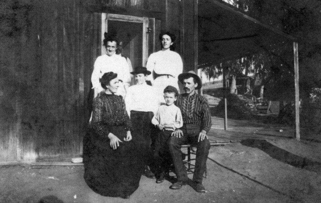
| (ca. 1904)* - Carlo Bonadiman, his wife Domenica, and their children Charles, Joe, Mary, and Rose pose outside one of the farm buildings near Benton Way in the Silver Lake area. |
Historical Notes The Bonadiman family appears repeatedly throughout this collection and provides a rare opportunity to follow the lives of a single farming family over more than a decade. The names written on the backs of several photographs allow many family members to be identified with unusual certainty. At the time this photograph was taken, the surrounding hills were only beginning to experience residential development, while much of the land below remained devoted to agriculture. |
 |
|
| (ca. 1904)* - Members of the Bonadiman family and friends, including Ed Prosser, Charles, Nene, Essie, Elvira, Mary, and Rose Bonadiman, gather near Benton Way and Berkeley Avenue. |
Historical Notes This photograph reminds us that the farm was more than a place of work. It also served as a gathering place for family, friends, and neighbors living in this rural corner of the city. The location near Benton Way and Berkeley Avenue helps establish the extent of the Bonadiman property and places these events within streets that remain familiar to Silver Lake residents today. |
 |
|
| (ca. 1905)* - The Bonadiman family poses outside another of the farm buildings near Benton Way, with Domenica seated at center. |
Historical Notes Taken only a short time after the earlier family portrait, this photograph provides another view of the household that operated the farm during its most productive years. Together the images preserve a visual record not only of the land itself but of the people whose labor shaped it. |
 |
|
| (ca. 1914)* - Members of the Bonadiman family gather on the porch of their new home at 1533 McCollum Street following their departure from the Benton Way property. |
Historical Notes By the mid 1910s, agricultural land throughout Silver Lake was giving way to residential development and other new uses. The Bonadimans' move to McCollum Street reflected a broader transformation occurring throughout the neighborhood. Some sources suggest the former farm property later became associated with motion picture production, although the exact circumstances surrounding the transfer of the land remain uncertain and deserve additional research. |
* * * * * |
Daily Life on the Ranch |
The Bonadiman photographs provide an unusually intimate look at daily life on a small Southern California farm during the early twentieth century. |
 |
|
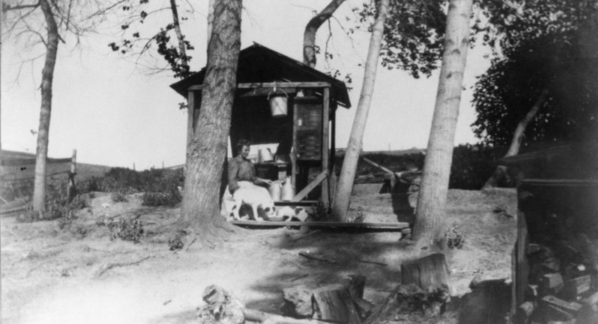
| (ca. 1900)* - Domenica Bonadiman sits outside the family milk house while a cat and dog share a bowl of fresh milk nearby. A zanja flowed beside the building and supplied water for household use. |
Historical Notes Family recollections indicate that a zanja, or irrigation ditch, flowed beside the milk house and supplied water for household chores, including laundry and cleaning. A narrow channel visible alongside the building may in fact be the zanja itself, providing a rare photographic glimpse of one of the small irrigation systems that once crisscrossed the agricultural landscape of early Los Angeles. These earthen ditches, many tracing routes established during the Spanish and Mexican periods, remained an important source of water for farms and ranches on the outskirts of the city well into the twentieth century. The possible presence of the zanja in this image serves as a reminder that the Bonadiman farm depended not only on the labor of the family, but also on a much older water distribution network that helped make agriculture possible in Southern California's semi-arid climate. |
 |
|
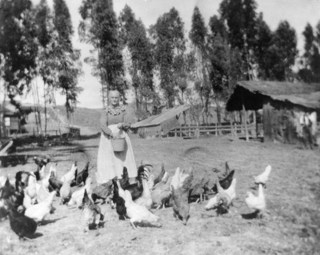
| (ca. 1900)* - Grandmother Bonadiman feeds chickens near present day McCollum Street and Scott Avenue, with several farm buildings visible in the background. |
Historical Notes Small poultry operations were common on family farms throughout Southern California, providing both eggs and meat for the household while requiring relatively little land or investment. Perhaps even more important today is the glimpse this image provides of the farm itself, showing buildings and open spaces that disappeared long ago beneath later residential development. |
 |
|
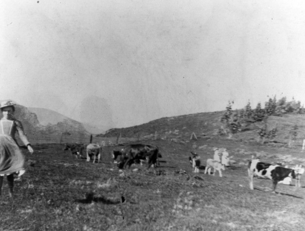
| (ca. 1905)* - One of the daughters of Carlo Bonadiman and other Bonadiman family members (in background) walk among the cows on the family's farm, located near what is now Benton Way in Silver Lake |
Historical Notes The presence of dairy cattle confirms that milk production formed an important part of the farm's activities and complements the earlier photograph of the milk house. Images such as this one also remind us that family farms depended upon the labor of every generation, with children often participating in daily chores from an early age. |
 |
|
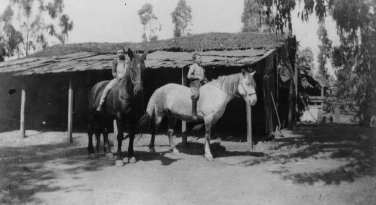
| (ca. 1910)* - Charles and Nene Bonadiman ride horses at their family's farm, located near what is now Benton Way in Silver Lake. The horse stables can be seen in the background |
Historical Notes Horses remained essential to agricultural operations during this period, serving as transportation as well as providing power for wagons and farm equipment. This is also one of the later images of life on the Benton Way farm and captures a landscape that would soon begin disappearing beneath new development. |
* * * * * |
Harvest Season in Silver Lake |
Hay production appears to have been one of the Bonadiman farm's principal activities, and this remarkable series of photographs documents the harvest from beginning to end. |
 |
|
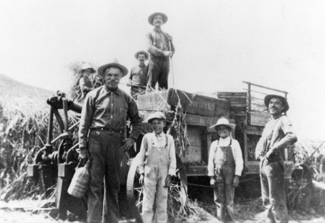
| (ca. 1904)* - Bonadiman family members pause during the hay harvest beside a wagon marked "Southwich." |
Historical Notes At the beginning of the twentieth century, hay was among Southern California's most important agricultural products. Thousands of horses still powered transportation and commerce throughout Los Angeles, creating a constant demand for feed. The meaning of the word "Southwich" painted on the vehicle remains uncertain but provides an intriguing clue to the business relationships that connected small farms to the growing city. |
 |
|
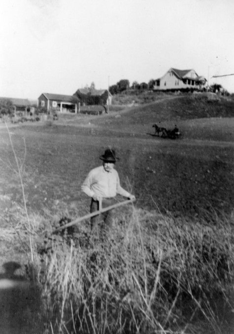
| (ca. 1907)* - A member of the Bonadiman family cuts hay with a scythe while a horse drawn wagon travels along a nearby dirt road. |
Historical Notes Despite growing mechanization elsewhere in the country, hand labor remained common on smaller family farms throughout Southern California during this period. The dirt road and scattered homes visible in the background illustrate the transitional character of early Silver Lake, where agricultural land and new residential development existed side by side. |
 |
|
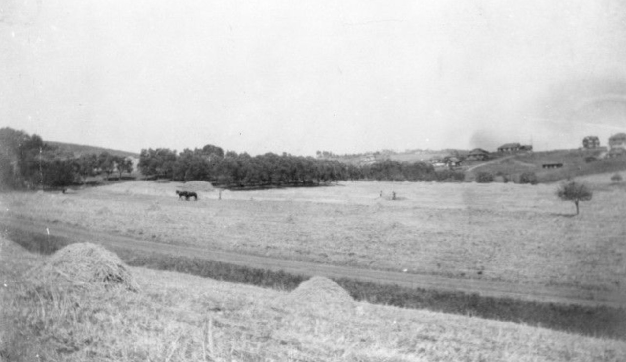
| (ca. 1907)* - Panoramic view of the Bonadiman hay fields near Benton Way during the height of the harvest season. |
Historical Notes This photograph captures another stage in the harvest process and complements the earlier image showing the cutting of the hay itself. Taken together, these images preserve an unusually complete record of agricultural work on a small Los Angeles farm during the years immediately preceding urban development. |
* * * * * |
A Changing Landscape |
Even while the Bonadimans continued farming the valley floor, the surrounding hills were beginning to attract new residents and larger homes. |
 |
|
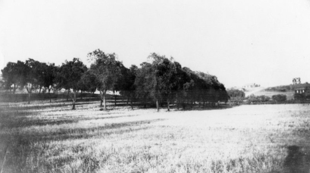
| (ca. 1905)* - Hay fields surround an olive orchard near Coronado Street and Scott Avenue. In the background on the right, a few large houses are seen; the house that is on top of the hill on the far right has the address of 1438 Mohawk Street. |
Historical Notes The olive orchard demonstrates that the Bonadimans diversified their agricultural activities rather than depending upon a single crop. More importantly, the homes visible in the background reveal that two very different landscapes coexisted here for a time: the rural Silver Lake of farms and orchards and the suburban Silver Lake that would soon replace it. |
 |
|
| (ca. 1905)* - A family poses outside an American Foursquare residence on Dunnigan's Hill, later the site of Hathaway Hill Estates. |
| Historical Notes
This photograph documents one of the earliest stages of hillside residential development in the area surrounding Silver Lake. Dunnigan's Hill later became the site of Hathaway Hill Estates, associated with industrialist Frank Garbutt and the Hathaway family. The combination of open fields, horseback riders, and substantial homes captures a neighborhood in transition, balanced between its agricultural past and its suburban future. |
* * * * * |
The End of the Farm |
By the mid 1910s, the rural landscape that had characterized this portion of Silver Lake for decades was rapidly disappearing. The construction of reservoirs, the arrival of the motion picture industry nearby, and continued residential growth transformed former ranchland into one of Los Angeles' emerging neighborhoods.Today little physical evidence of the Bonadiman farm survives, but these photographs preserve a forgotten chapter in Silver Lake history and remind us that one of Los Angeles' most urban neighborhoods was once a landscape of hay fields, orchards, dairies, and dirt roads. |
* * * * * |
Water Transforms the Landscape (Ivanhoe and Silver Lake Reservoirs) |
By the early twentieth century, Los Angeles was growing at an unprecedented rate, and the city's demand for water was increasing just as rapidly. The open farmland of Ivanhoe offered an ideal location for new storage reservoirs that would become essential components of the city's expanding water system.Construction began on the smaller Ivanhoe Reservoir in 1906. Immediately to its south, crews then built the much larger Silver Lake Reservoir, completed in 1907. Although adjacent and operated as part of the same water system, the two were always separate reservoirs, divided by the Ivanhoe Dam and, beginning in 1944, connected by a reinforced concrete spillway. Originally, Ivanhoe served as a domestic water reservoir, while Silver Lake was used primarily for irrigation.Together, the two projects permanently transformed the valley. Fields, orchards, and dirt roads gave way to dams, reservoirs, and eventually new residential neighborhoods. Within just a few years, the landscape photographed by the Bonadiman family would be almost unrecognizable. |
* * * * * |
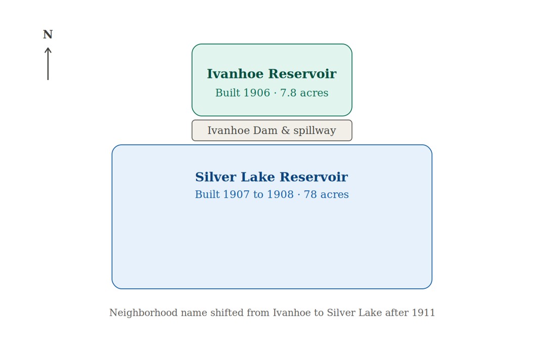
Relationship of the Ivanhoe and Silver Lake Reservoirs
 |
|
| Locator diagram showing the relative positions of the adjacent Ivanhoe and Silver Lake reservoirs. Ivanhoe Reservoir, completed in 1906, lies immediately north of the larger Silver Lake Reservoir, completed in 1907. The two reservoirs are separated by the Ivanhoe Dam and have been connected by a reinforced concrete spillway since 1944. Not to scale. |
* * * * * |
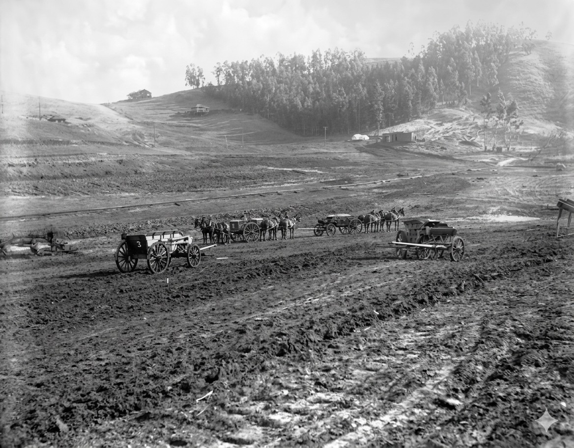
Construction Begins
 |
|
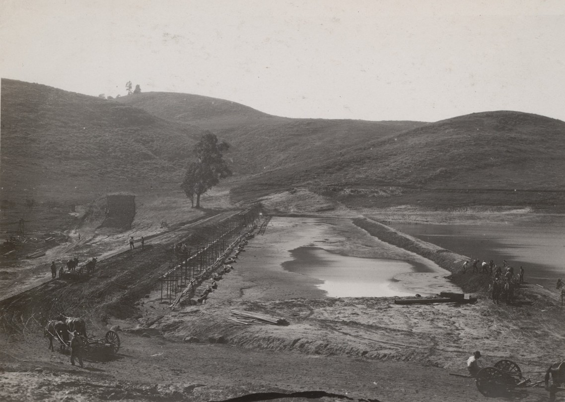
| (1906)* - View showing the construction site of the adjacent Ivanhoe and Silver Lake reservoirs. Construction began on the smaller Ivanhoe Reservoir in 1906, followed by the larger Silver Lake Reservoir in 1907. Image slightly enhanced. |
Historical Notes The City of Los Angeles began acquiring land for what would become the Ivanhoe and Silver Lake reservoir complex during the 1880s, obtaining the remaining property through condemnation in 1904. Designed by Chief Engineer William Mulholland, the project introduced an innovative construction technique known as hydraulic sluicing, in which powerful water jets excavated and relocated enormous quantities of earth. Construction began with the smaller Ivanhoe Reservoir in 1906, followed by the much larger Silver Lake Reservoir, completed the following year immediately to the south. Although adjacent and operated as part of the same water system, the two reservoirs served different purposes: Ivanhoe supplied domestic drinking water, while Silver Lake was used primarily for irrigation. |
 |
|
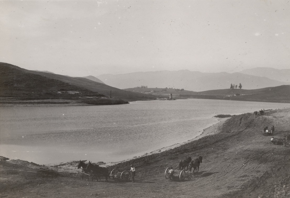
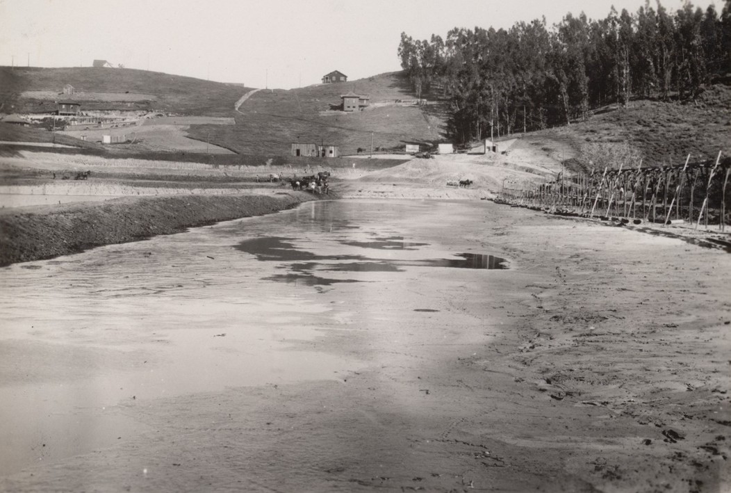
| (1907)* - View showing men operating horse-drawn ploughs grading the land adjacent to the newly constructed Silver Lake Reservoir located in the Ivanhoe Canyon. |
Historical Notes While crews continued grading the land surrounding the newly completed Silver Lake Reservoir, the project had already become associated with Herman Silver, the influential attorney, City Council President, and first Chairman of the Los Angeles Water Commission. Although Silver was not reappointed to the Water Board after a change in city administration, the City Council honored his contributions by naming the new reservoir after him. Over time, the surrounding community gradually adopted the name Silver Lake, replacing the earlier name Ivanhoe, while the smaller reservoir to the north retained its historic name. |
 |
|
| (1907)* - Silver Lake Dam, looking north, during construction. |
Historical Notes To construct the Silver Lake Dam, William Mulholland first embedded a wall of riveted steel plates within three feet of concrete to create a watertight core. Powerful hydraulic jets washed earth from the canyon floor and deposited it against the concrete core, forming the massive earthen embankment. This innovative hydraulic sluicing technique reduced the need for conventional excavation while allowing engineers to build one of Los Angeles' earliest reservoirs quickly and efficiently. |
 |
|
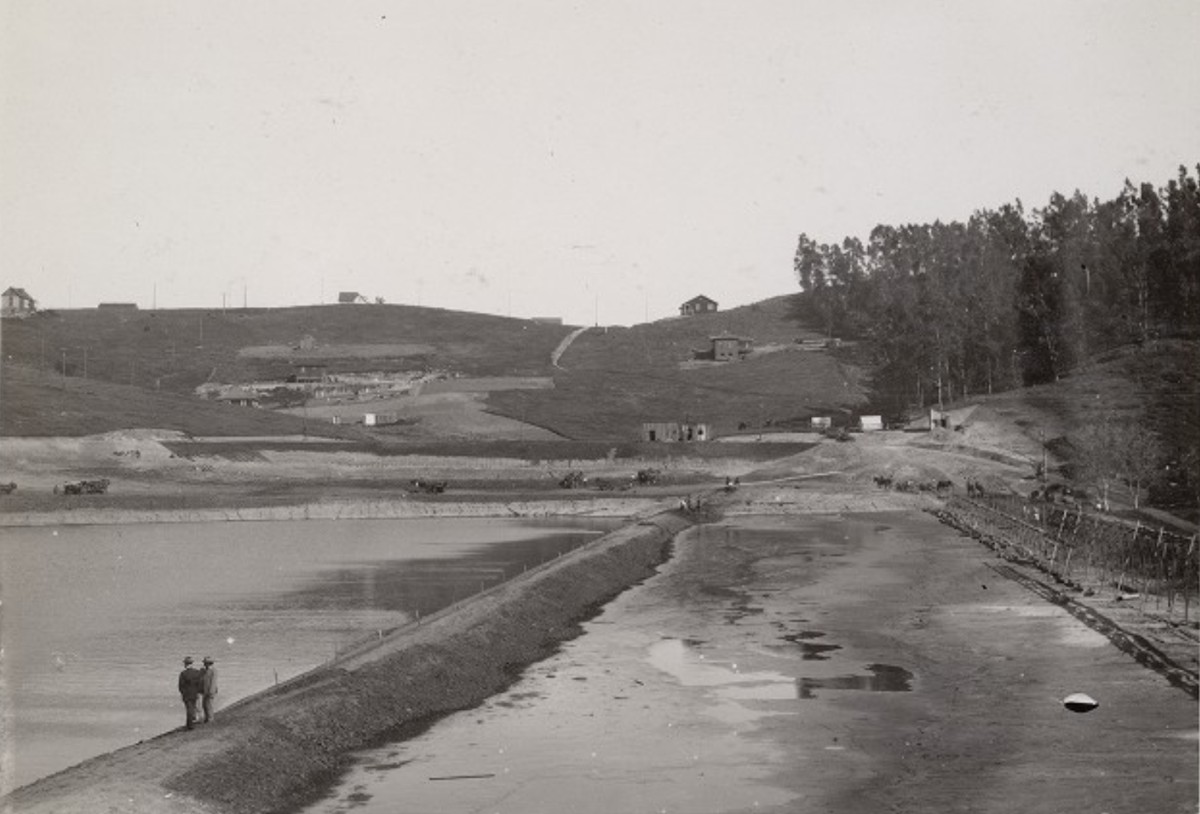
| (1907)* - Silver Lake Dam, looking south. |
Historical Notes Standing atop the newly completed Silver Lake Dam, this view looks south across the reservoir toward the surrounding hillsides. Holding approximately 767 million gallons of water pumped from wells near Griffith Park along the Los Angeles River, the reservoir could supply Los Angeles for nearly three weeks if all other sources were interrupted. Together with the smaller Ivanhoe Reservoir immediately to the north, Silver Lake became a key part of the city's rapidly expanding water system. Beyond its engineering importance, the reservoir permanently transformed the surrounding landscape. The quiet farming valley of Ivanhoe soon gave way to a growing residential community that ultimately took its name from the larger reservoir. |
 |
|
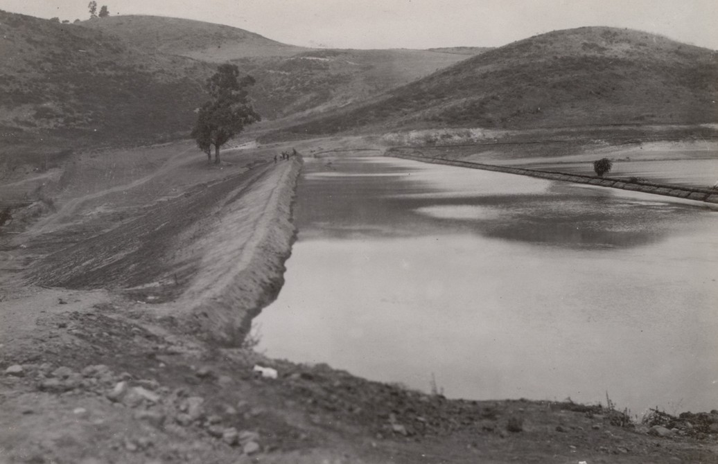
| (1907)* - Newly completed Silver Lake Reservoir looking across the water toward the developing hillsides of Ivanhoe. |
Historical Notes Standing atop the newly completed dam, two men look across Silver Lake Reservoir toward the developing hillsides of Ivanhoe. Although the valley remained largely rural, the creation of the adjacent reservoirs soon encouraged residential development throughout the surrounding hills, forever changing the character of the area. |
 |
|
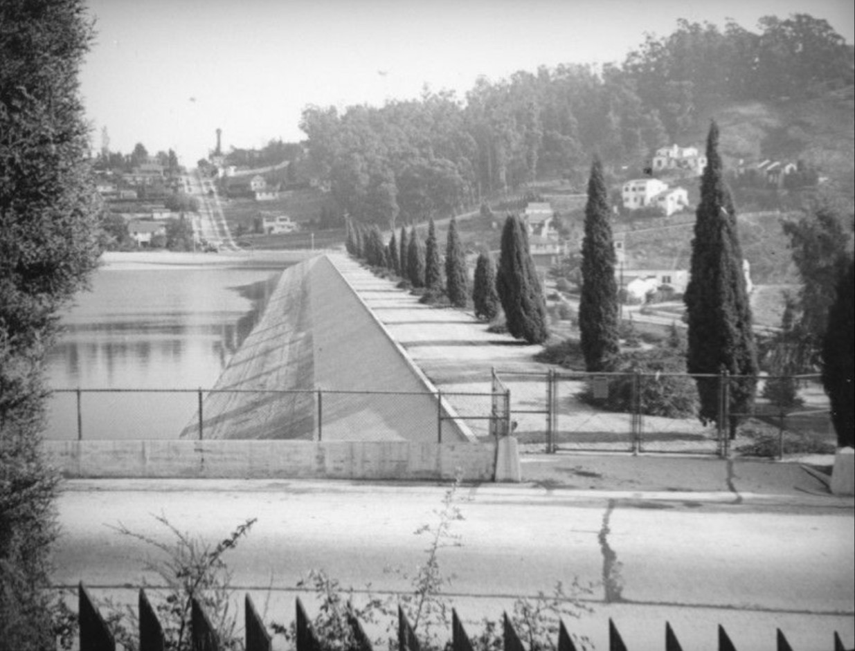
| (1907)* - View along the earthen embankment of the newly completed Silver Lake Reservoir in Ivanhoe Canyon. |
Historical Notes Seen from atop the completed embankment, the reservoir follows the natural contours of Ivanhoe Canyon. Rather than forcing the reservoir into a rigid geometric shape, Mulholland's engineers adapted the reservoir to the existing topography, creating a broad earthen dam that blended with the surrounding hills. Within only a few years, farms and open fields surrounding the reservoirs gave way to streets, homes, and businesses as one of Los Angeles' earliest planned residential communities took shape around the new water system. |
* * * * * |
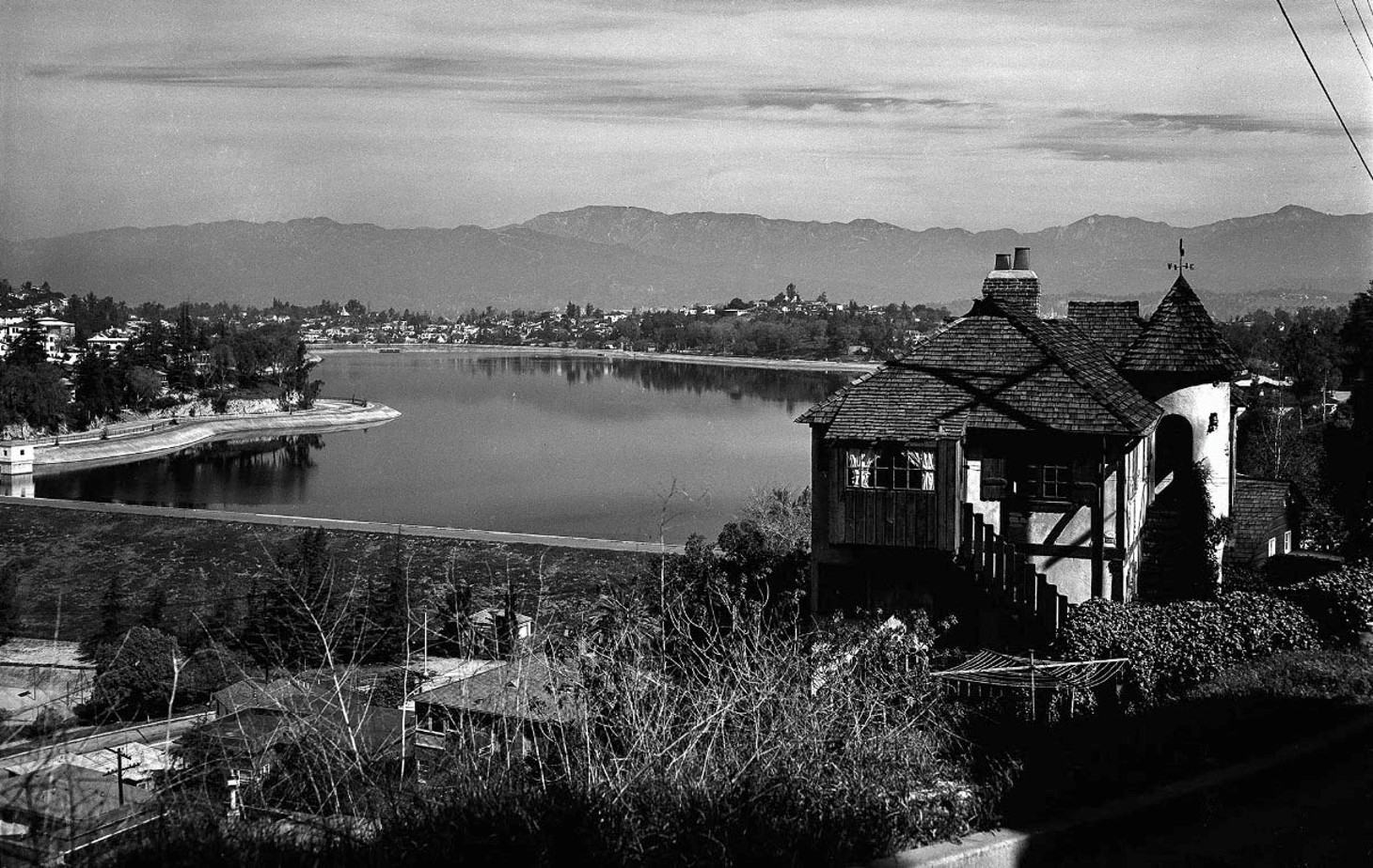
Silver Lake Reservoir: From Water Supply to Community Landmark |
When Silver Lake Reservoir was completed in 1907, it was built as a practical piece of municipal infrastructure to meet Los Angeles' rapidly growing demand for water. Unlike the smaller Ivanhoe Reservoir immediately to its north, which was originally covered with a wooden roof to protect water quality, Silver Lake remained open to the sky. Almost immediately, Angelenos discovered that it offered something unexpected: a beautiful new landscape.That open water soon shaped the neighborhood growing around it. Beginning in the 1920s, developers transformed the surrounding hillsides into carefully planned residential subdivisions, their curving streets designed to take advantage of sweeping views of the reservoir. What had begun as an engineering project quickly became the defining feature of one of Los Angeles' most distinctive communities.Today the reservoir is no longer part of Los Angeles' active drinking water system, but it remains one of the city's most recognizable landmarks. The photographs below trace its remarkable evolution from municipal water supply to community centerpiece over nearly seventy years. |
 |
|
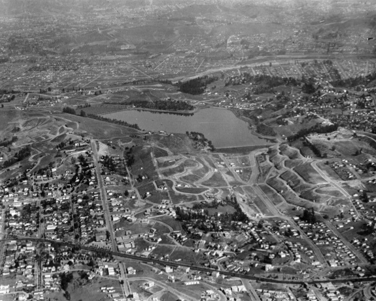
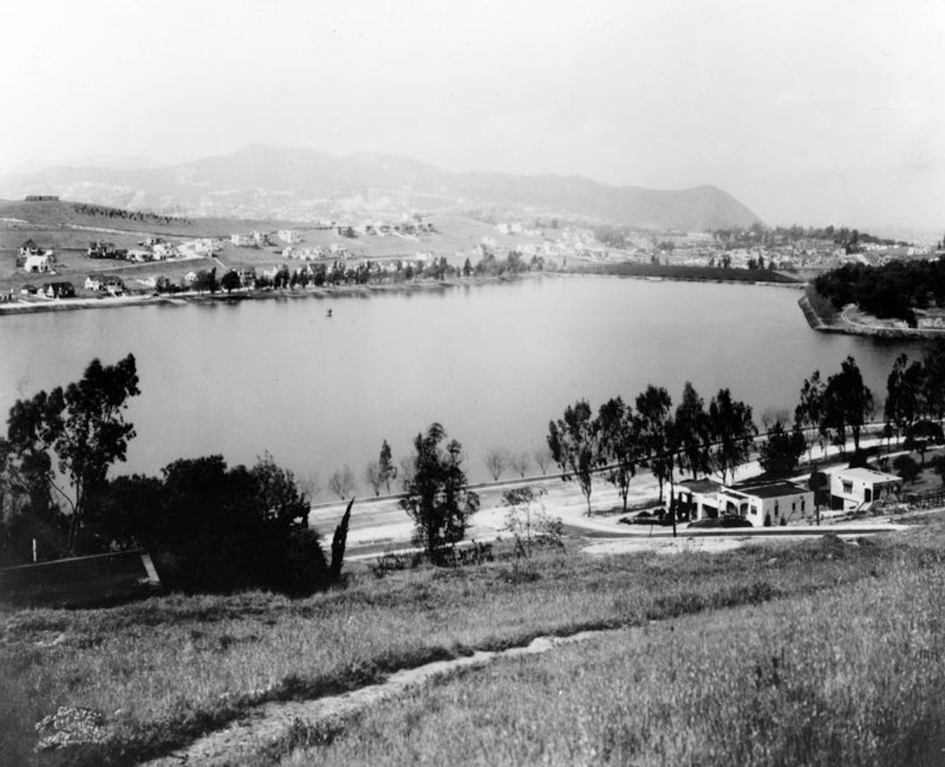
| (1924)* - Seen from the air is the Silver Lake Reservoir and the surrounding Moreno Highlands-Silver Lake community. |
Historical Notes Although constructed as a municipal water supply, Silver Lake Reservoir quickly became one of Los Angeles' most scenic public spaces. Unlike nearby Ivanhoe Reservoir, which was originally covered with wooden planks to protect water quality, Silver Lake remained open, allowing residents to enjoy sweeping views across the water. Angelenos strolled along its shoreline, fishermen cast for black bass, and the reservoir soon became one of the city's most picturesque gathering places. Recognizing its growing recreational appeal, the City's Park Department planted more than 2,000 eucalyptus trees on the surrounding hillsides in 1912. What had begun as a utilitarian engineering project had already become the defining landscape feature of the emerging Silver Lake neighborhood. |
 |
|
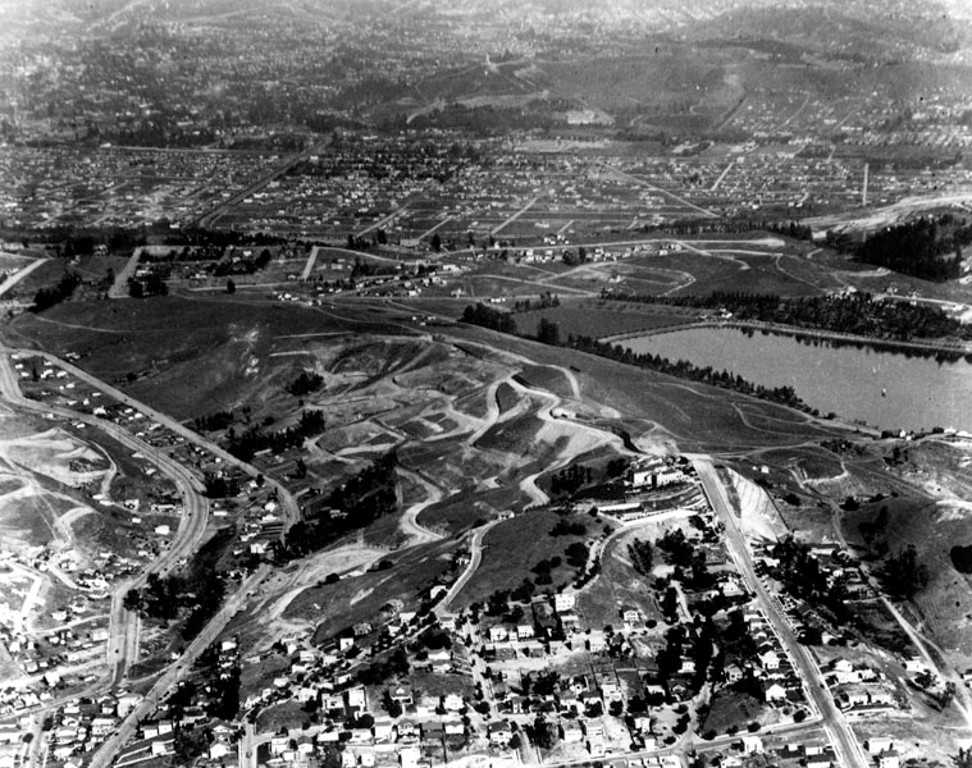
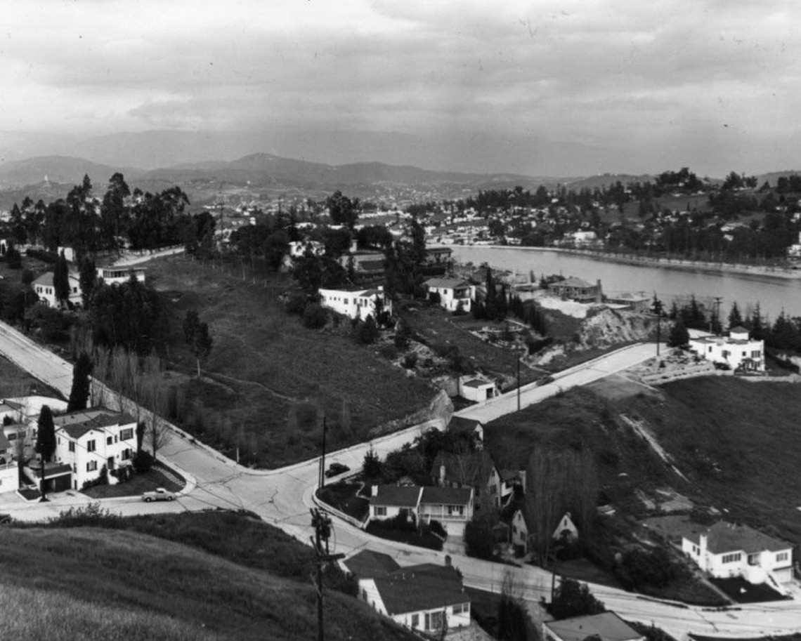
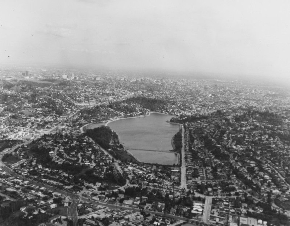
| (1924)* - Aerial view of Silver Lake Reservoir and surrounding area, with streets readied for houses. View is looking north. |
Historical Notes By 1924, developers were laying out the streets that would become the Moreno Highlands, the hillside neighborhood immediately west of the reservoir. Silent film star Antonio Moreno and his wife, oil heiress Daisy Canfield, had established their own hilltop estate nearby and soon subdivided the surrounding land into home sites designed to capitalize on dramatic views of the water. Rather than following a rigid street grid, the curving roads visible here were carefully aligned with the natural contours of the hillsides. Within only a few years these graded streets would be lined with Spanish Colonial Revival and Mediterranean style homes, many of which still define the character of the neighborhood today. |
* * * * * |
A Growing Neighborhood Around the Reservoir
 |
|
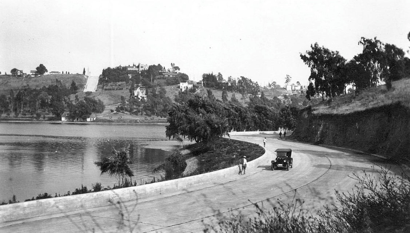
| (1927)*– Panoramic ground level view showing Silver Lake Reservoir. Two people are seen strolling along the road adjacent to the reservoir as an early model car rounds the curve. |
Historical Notes By the late 1920s, Silver Lake Reservoir had become much more than a source of water. Tree-lined roads, scenic vistas, and the expanding residential neighborhoods surrounding the reservoir made it a favorite destination for leisurely walks and Sunday drives. The two pedestrians and early automobile captured here reflect a community beginning to embrace the reservoir as part of everyday life. Although development around the reservoir was still in its early stages, the road circling the water had already become a popular public promenade. The reservoir was no longer simply part of the city's infrastructure—it had become the social and visual heart of the neighborhood. |
 |
|
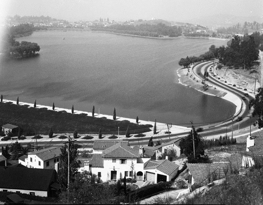
| (1930)* - Silver Lake Reservoir. Silver Lake Reservoir was named for Herman Silver, first president of the Board of Commissioners, Domestic Water Works System. He served from 1902 to 1903. The reservoir was put into service in May 1908. |
Historical Notes Silver Lake Reservoir was named in honor of Herman Silver, an attorney who served as the first president of the Board of Commissioners of the Domestic Water Works System from 1902 to 1903. Although Silver left the board after a change in city administration, the reservoir permanently preserved his name, and the surrounding community gradually adopted it as well, replacing the earlier name Ivanhoe. Completed as an earth fill dam with asphalt concrete lining and paved slopes, the reservoir officially entered service in May 1908. More than two decades later it remained an essential part of Los Angeles' municipal water system while simultaneously serving as the defining landmark of the growing Silver Lake neighborhood. |
 |
|
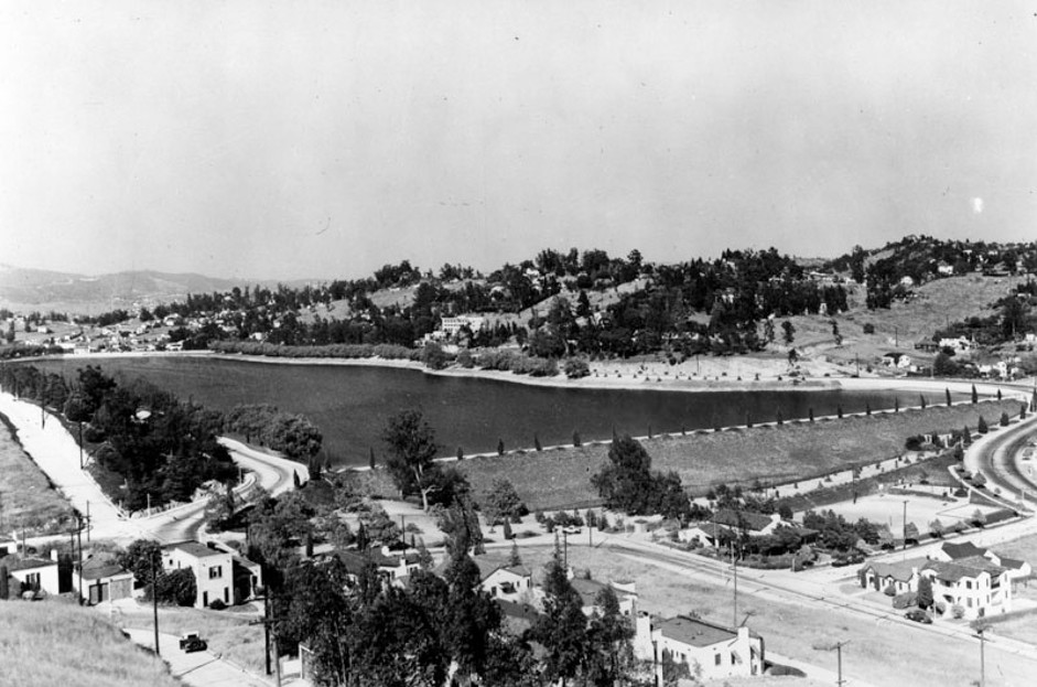
| (ca. 1935)* - View of Silver Lake Reservoir, looking northwest from the southeast. |
Historical Notes By the mid-1930s, the hills surrounding Silver Lake Reservoir were filling with homes built in the California Spanish and Spanish Colonial Revival styles that had become synonymous with Southern California architecture. The reservoir's sweeping views and gently curving streets attracted homeowners seeking both natural beauty and convenient access to downtown Los Angeles. The generous spacing between homes reflected both the challenging hillside terrain and the desire to preserve views of the reservoir below. Unlike the dense street grids of many Los Angeles neighborhoods, development here adapted to the landscape, creating the distinctive character that still defines Silver Lake today. |
 |
|
| (ca. 1936)* -View of the reservoir, looking northeast from the southwest. The original Silver Lake Recreation Center can be seen at the intersection of Van Pelt and W. Silver Lake Boulevard. |
Historical Notes Dedicated in November 1931, the Silver Lake Recreation Center became an important gathering place for the growing neighborhood. Its original facilities included tennis courts, croquet courts, playgrounds, and open recreational space, providing residents with opportunities for organized sports and community activities. Together, the recreation center and the reservoir created a natural focal point for neighborhood life. What had begun as a municipal water project had evolved into one of Los Angeles' most attractive public landscapes, where recreation, scenic beauty, and community life existed side by side. |
 |
|
| (ca. 1937)* – Southwest corner of Silver Lake Reservoir. Photo by Herman Schultheis. |
Historical Notes This photograph was taken by Herman Schultheis, whose remarkable images of Los Angeles during the late 1930s have become an invaluable record of everyday life throughout the city. Rediscovered decades after his disappearance while photographing Mayan ruins in Guatemala, his work now forms one of the Los Angeles Public Library's most important photographic collections. Here, Schultheis captured the quiet beauty of Silver Lake Reservoir as it appeared during the Great Depression, by then firmly established as both a working reservoir and one of Los Angeles' most recognizable neighborhood landmarks. |
 |
|
| (1938)* - Panoramic view of Silver Lake Reservoir. Photo by William Reagh. |
Historical Notes William Reagh devoted much of his career to documenting the changing landscapes of Los Angeles, producing tens of thousands of photographs that today provide an invaluable visual record of the city's twentieth-century history. His careful, documentary approach makes this panoramic view one of the finest surviving images of Silver Lake before postwar development reshaped much of the surrounding city. Taken only fourteen years after the first Moreno Highlands streets were graded, this photograph reveals how quickly the reservoir had become integrated into the fabric of the neighborhood, surrounded by mature trees, winding roads, and an expanding residential community. |
 |
|
| (1956)* – View of Silver Lake Reservoir, looking north toward the mountains. |
Historical Notes By the mid-1950s, Silver Lake had matured into a well established residential neighborhood while the reservoir continued serving as an active part of Los Angeles' drinking water system. Homes now lined nearly every surrounding hillside, yet the broad expanse of open water remained the community's defining feature. This mid-century view captures Silver Lake at a moment of remarkable balance, long after its pioneering years but decades before changing federal water quality regulations would end its role as an open drinking water reservoir. |
 |
|
| (1973)* - Aerial view of Silver Lake, looking southeast. |
Historical Notes Nearly fifty years after the first streets of the Moreno Highlands were laid out, the hills surrounding Silver Lake Reservoir had become a mature residential community representing several generations of architectural styles. Despite this growth, the reservoir itself remained the visual centerpiece around which the neighborhood continued to evolve. The reservoir would continue serving Los Angeles' water system for several more decades before new federal drinking water regulations eventually brought that chapter of its history to a close. Even after its municipal role changed, Silver Lake remained the landmark that gave both the neighborhood and its identity enduring meaning. |
Silver Lake Today Although no longer used for drinking water storage, both Ivanhoe and Silver Lake reservoirs remain defining features of the neighborhood they helped create more than a century ago. The two reservoirs continue to hold water while serving as valued community amenities, wildlife habitat, and an integral part of the Silver Lake Reservoir Complex. Their original role in Los Angeles' municipal water system has been assumed by the underground Tom LaBonge Headworks Water Complex, allowing these historic reservoirs to be preserved as treasured landmarks for future generations. |
* * * * * |
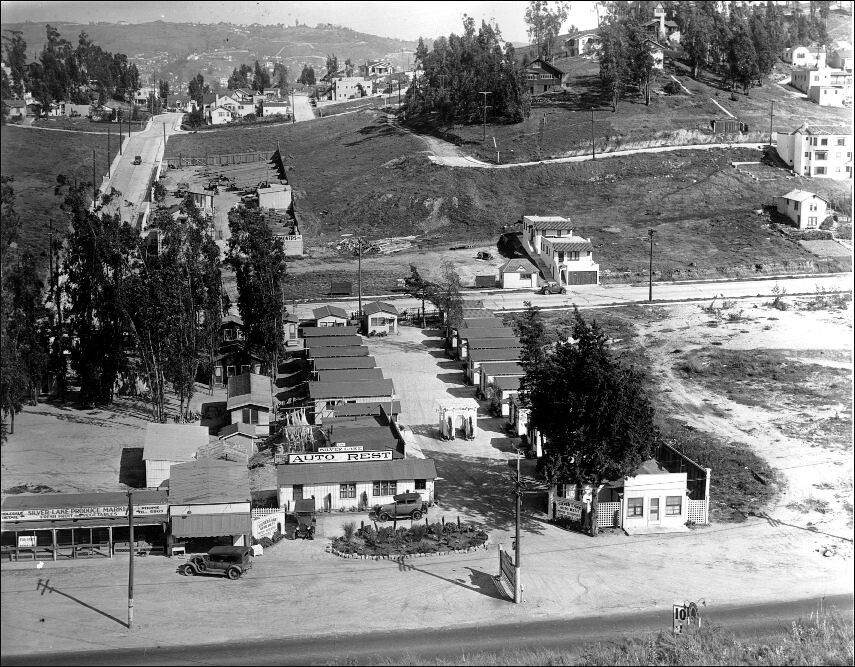
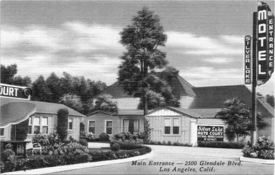
Silver Lake Auto Court |
By the 1920s, Silver Lake had entered a new chapter. The reservoirs were complete, residential neighborhoods were spreading across the surrounding hillsides, and Glendale Boulevard had become one of the city's principal automobile corridors. As more Americans took to the road, a new type of lodging began appearing throughout Southern California: the auto court, designed specifically for motorists rather than railroad passengers.Among them was the Silver Lake Auto Court at 2500 Glendale Boulevard. Advertised as offering 67 cottages along with trailer sites, it provided convenient accommodations for travelers passing through Los Angeles. The photographs that follow capture the auto court during its heyday and trace the remarkable transformation of this corner of Silver Lake over the past century. |
 |
|
| (1920s)* - Looking down across Glendale Boulevard showing the Silver Lake Auto Court located at 2500 Glendale Blvd. The street on the left running away from the camera is India Street. |
Historical Notes The Silver Lake Auto Court occupied a prominent location along Glendale Boulevard during the height of Southern California's automobile boom. Like many California auto courts of the era, it featured individual cottages arranged along a curving driveway, allowing guests to park beside their accommodations rather than rely on the formal entrances and shared corridors of traditional downtown hotels. Its location along one of Los Angeles' busiest thoroughfares made it an attractive stop for motorists exploring Southern California. As automobile travel rapidly gained popularity during the 1920s and 1930s, roadside auto courts became a familiar feature of the California landscape, offering travelers comfort, convenience, and easy access to their automobiles. |
 |
|
| (n.d.)* – Postcard view showing the main entrance to Silver Lake Auto Court at 2500 Glendale Blvd. |
Historical Notes The entrance sign proudly advertised the property as offering "67 Cottages," while the reverse of this postcard described it as:
The postcard reflected the growing popularity of California's auto courts during the automobile age. Travelers enjoyed the privacy of individual cottages, convenient parking, and landscaped surroundings while remaining within easy reach of downtown Los Angeles and neighboring communities. Like many auto courts of the period, the Silver Lake Auto Court welcomed both vacationers and longer term guests. |
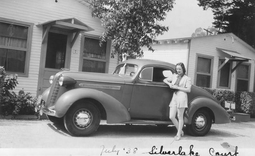 |
|
| (1938)* - A young woman stands next to a 1936 Pontiac Master Six Coupe at the Silver Lake Auto Court, 2500 Glendale Boulevard. |
Historical Notes This informal 1938 photograph captures everyday life at the Silver Lake Auto Court during the late Depression era. The young woman proudly poses beside a 1936 Pontiac Master Six Coupe, illustrating how the automobile had become an integral part of American life and a symbol of personal freedom and mobility. As automobile ownership continued to grow, establishments like the Silver Lake Auto Court became an important part of Southern California's roadside culture. The court remained a familiar landmark along Glendale Boulevard for many years before eventually disappearing as commercial redevelopment transformed the neighborhood. |
Then and Now
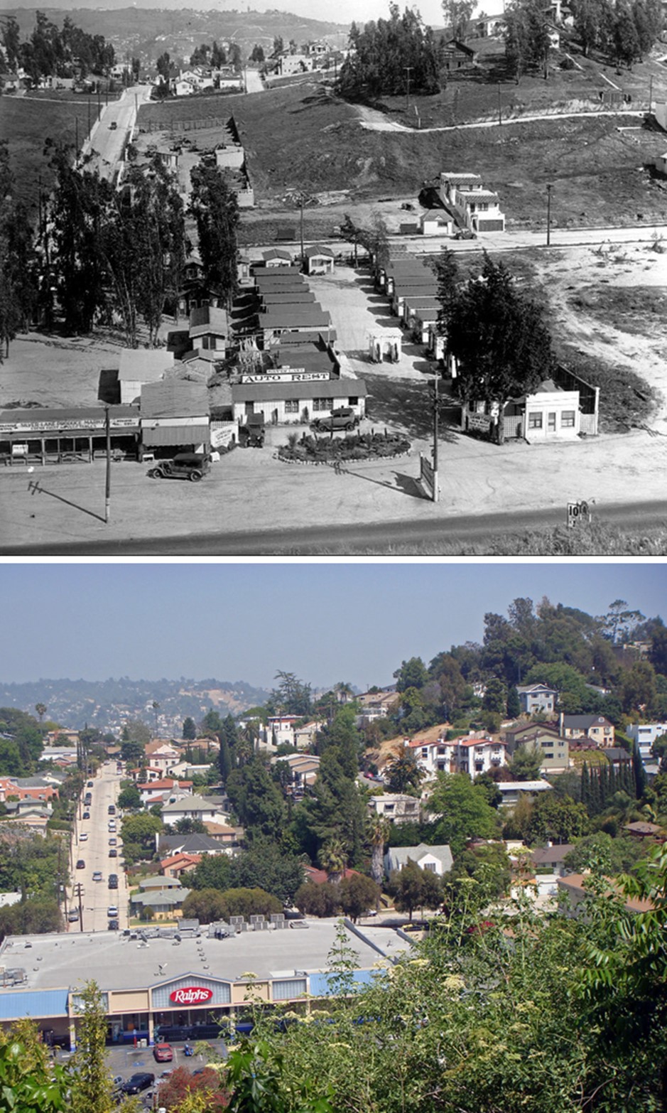 |
|
| (1920s vs 2016)* – Looking east from above Glendale Boulevard with India Street running away from the camera at left. The Silver Lake Auto Court once stood on the site where the Ralphs Market seen in the 2016 photograph has since become a Whole Foods Market (2520 Glendale Boulevard). Photo comparison by Michael Smith.* |
Historical Notes Nearly a century separates these two photographs. Although the surrounding hillsides have filled with homes, mature trees, and commercial development, the basic street pattern remains remarkably recognizable, with India Street still climbing the hillside at left. The most significant change occurred in the foreground. The Silver Lake Auto Court disappeared as Glendale Boulevard evolved from a roadside automobile corridor into a thriving neighborhood shopping district. The site later became home to Ralphs Market and is now occupied by Whole Foods Market. Together, these images illustrate Silver Lake's transformation from a growing automobile community into one of Los Angeles' most vibrant and desirable neighborhoods. |
* * * * * |
Sunset Boulevard and Micheltorena Street |
Micheltorena Street is named for Manuel Micheltorena, who served as governor of Alta California from 1842 to 1845. Appointed from Mexico City, he was the last governor sent to California from outside the territory before being succeeded by the native born Pío Pico, the final governor of Mexican California.By 1932, when the first photograph below was taken, the intersection of Sunset Boulevard and Micheltorena Street lay at the heart of a thriving streetcar neighborhood. Pacific Electric Red Cars traveled along Sunset Boulevard, while a network of public stairways connected the hillside homes above to the commercial corridor below. The photographs that follow capture this historic corner nearly a century apart, revealing how Silver Lake has evolved while preserving much of its original character. |
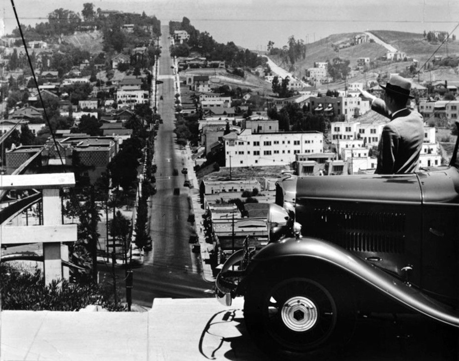 |
|
| (1932)* - Looking north on Micheltorena Street from the top of the public stairway above Sunset Boulevard. |
Historical Notes This 1932 photograph was taken from the top of the public stairway that climbs the hillside south of Sunset Boulevard, with the concrete steps visible at lower left. A well dressed man stands beside an early 1930s automobile, looking north across the intersection where Micheltorena Street crosses Sunset Boulevard before continuing up the opposite hillside. The image captures Silver Lake during a period of steady growth. White stucco apartment buildings and commercial structures line Sunset Boulevard, while utility poles, young street trees, and hillside homes extend northward along Micheltorena Street. Several vacant lots remain, reflecting a neighborhood that was still being built out. The stairway in the foreground was one of more than fifty public stairways and walk streets constructed throughout Silver Lake, providing hillside residents with convenient pedestrian access to the Pacific Electric streetcar lines below. |
Then and Now
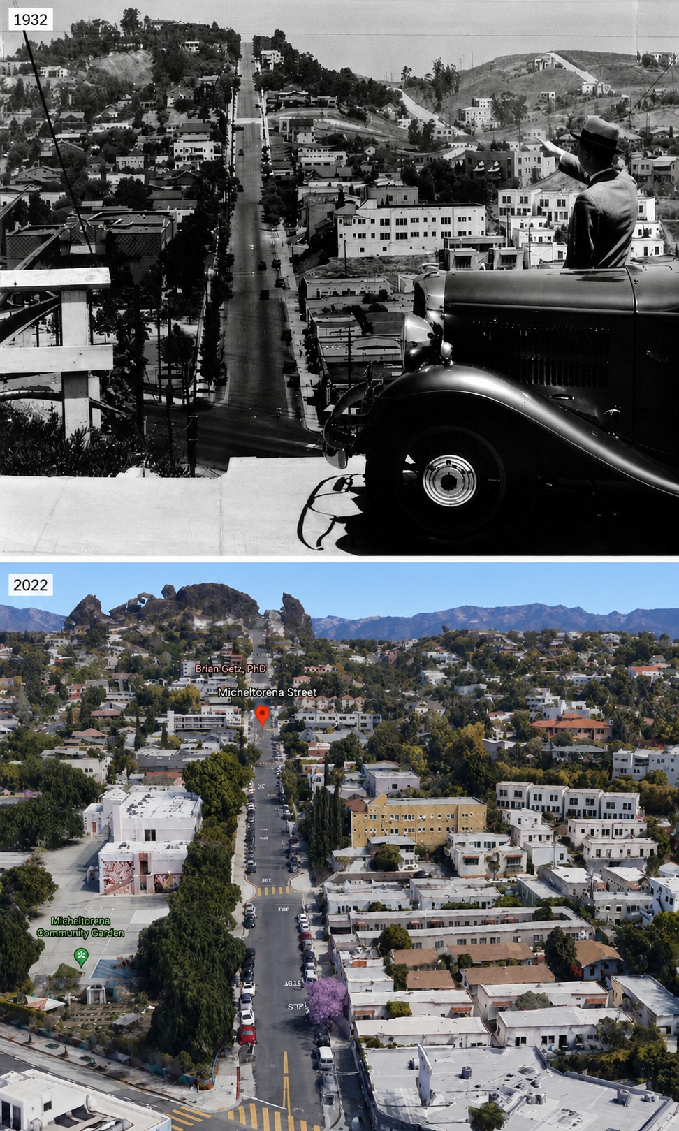 |
|
| (1932 vs. 2022)* - Looking north on Micheltorena Street from the top of the public stairway above Sunset Boulevard. Photo comparison by Jack Feldman. |
Historical Notes Nearly ninety years separate these two photographs, yet the view remains remarkably familiar. Micheltorena Street still climbs the same hillside, and many of the homes built during Silver Lake's early twentieth century development continue to line the surrounding streets, now framed by mature trees and landscaping. The public stairway visible in the 1932 photograph, today known as the Micheltorena Steps, remains an important pedestrian connection between Sunset Boulevard and the hillside neighborhood above. Pacific Electric Red Cars disappeared from Sunset Boulevard after streetcar service ended in the early 1950s, leaving the corridor to automobile traffic. In recent years, the 204 step staircase has become a neighborhood landmark after being transformed into a colorful public art installation, while continuing to serve the same purpose for which it was originally built. |
* * * * * |
Glassell Park and Cypress Park
 |
|
| (1900)^ - The Los Angeles River and a farming area looking northeast from Elysian Park. The view is looking toward Cypress Park and Glassell Park. |
Historical Notes Glassell Park is bordered on the north by Glendale, on the northeast and east by Eagle Rock, on the southeast by Mount Washington, on the south and southwest by Elysian Valley and on the west by Atwater Village. |
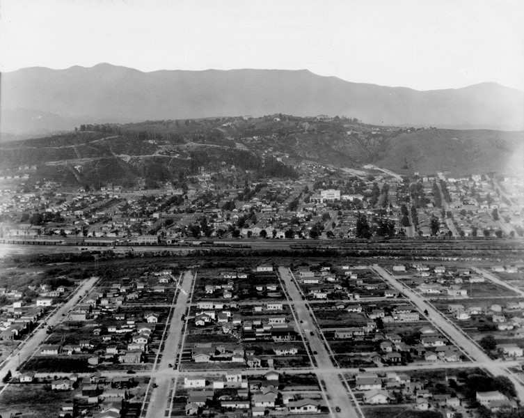 |
|
| (1926)^ - Panoramic view of residential areas bordering the Los Angeles River as seen from Elysian Park, looking northeast toward Glassell Park, Cypress Park and Mt. Washington. Compare to previous photo. |
Historical Notes Cypress Park is situated near the confluence of the Los Angeles River and Arroyo Seco, less than 2.5 miles north of Downtown Los Angeles. It lies within a historic alluvial floodplain shared with the Elysian Valley neighborhood, which is bounded by Elysian Park and Mt. Washington. |
* * * * * |
Highland Park |
Highland Park is one of Los Angeles' oldest neighborhoods, developing rapidly after its annexation to the city in 1895. Centered along North Figueroa Street, it grew from a quiet streetcar suburb into a thriving commercial district serving nearby residents as well as travelers entering Los Angeles from the north.During the 1930s, Figueroa Street became part of the historic Route 66 corridor, bringing a steady stream of motorists past neighborhood businesses, restaurants, service stations, and theaters. The opening of the Arroyo Seco Parkway in late 1940 redirected much of that traffic, but many of Highland Park's early commercial buildings survived.The photographs below capture more than a century of change along this historic corner of Highland Park, illustrating both the remarkable continuity of the streetscape and the neighborhood's ongoing evolution. |
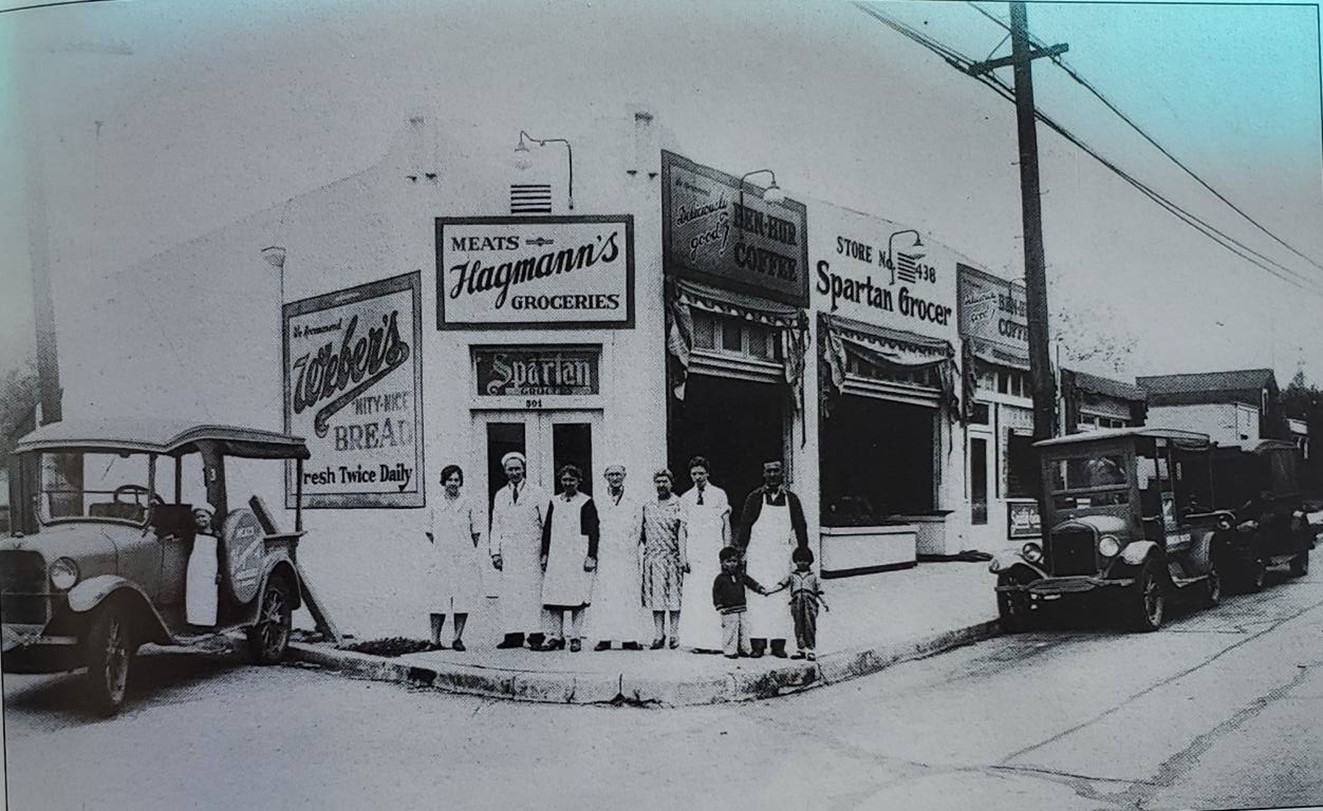 |
|
| (1920)* – Workers and likely owners, along with two children on the right and another child standing on the automobile's running board at left, pose in front of Hagmann's, a corner grocery store on the northwest corner of Figueroa Street and Springvale Drive in Highland Park. This stretch of Figueroa Street would later become part of historic Route 66. |
Historical Notes Figueroa Street in Highland Park formed part of two Route 66 alignments during the 1930s. When the Arroyo Seco Parkway was dedicated on December 30, 1940, through traffic shifted to the new highway, while the former route through Highland Park became part of Alternate U.S. Route 66. Before becoming Figueroa Street, this portion of the roadway was known as Pasadena Avenue, while the section closer to the Los Angeles River was called Dayton Avenue. |
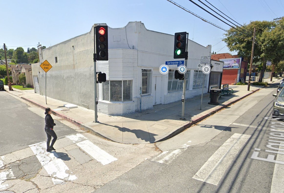 |
|
| (2024)* - A woman crosses Figueroa Street toward the northwest corner of Springvale Drive, approaching the building that once housed Hagmann's grocery store more than a century earlier. |
Historical Notes During the past two decades, North Figueroa Street has experienced a remarkable revival. Many historic commercial buildings have been rehabilitated and now house restaurants, cafés, boutiques, galleries, and neighborhood businesses. New mixed use developments have added housing and commercial space, while renewed investment has transformed the corridor into one of northeast Los Angeles' most active commercial districts. At the same time, rising property values and rents have sparked continuing discussions about affordability, displacement, and preserving Highland Park's historic identity. |
Then and Now
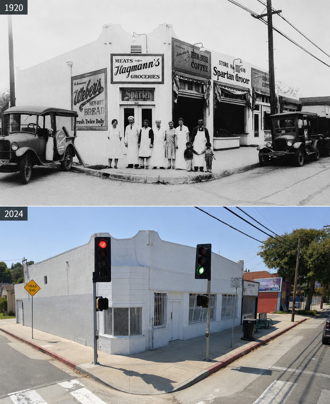 |
|
| (1920 vs. 2024)* – A view of the northwest corner of Figueroa Street and Springvale Drive, once home to Hagmann's grocery store. Photo comparison by Jack Feldman. |
Historical Notes More than a century later, the former Hagmann's grocery building still anchors the northwest corner of Figueroa Street and Springvale Drive. While its storefront has evolved to accommodate new businesses over the decades, the building remains a familiar landmark along Highland Park's historic commercial corridor. This comparison illustrates both the remarkable continuity of the streetscape and the changing character of one of Los Angeles' oldest neighborhoods. |
* * * * * |
Figueroa and Piedmont
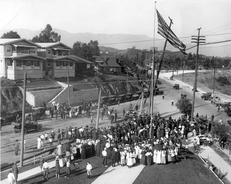 |
|
| (1916)* – A crowd gathers to watch the raising of a power pole at the corner of Pasadena Avenue (now Figueroa Street) and Piedmont Avenue in Highland Park. This event marked the inauguration of a power distribution system by the Los Angeles Bureau of Power and Light (now LADWP) and represents a significant milestone in the utility’s history. This photo was taken from the top of Arroyo Seco Branch Library. |
Historical Notes On March 18th, 1917, the Bureau of Power and Light opened its first major hydro-electric power plant, San Francisquito Power Plant No. 1. The plant used water from the recently completed Los Angeles Aqueduct to generate electricity. The LA Bureau of Power and Light would now be able to sell its excess San Francisquito generated power to Pasadena over two newly constructed 34 kV lines between the two cities. By 1917, World War I had forced the price of fuel oil to rise making the new lower cost hydroelectric power extremely desirable. The Los Angeles Bureau of Power and Light became part of the Los Angeles Department of Water and Power (LADWP) in 1937. Click HERE to see more on Los Angeles' 1st Municipal Power Pole. |
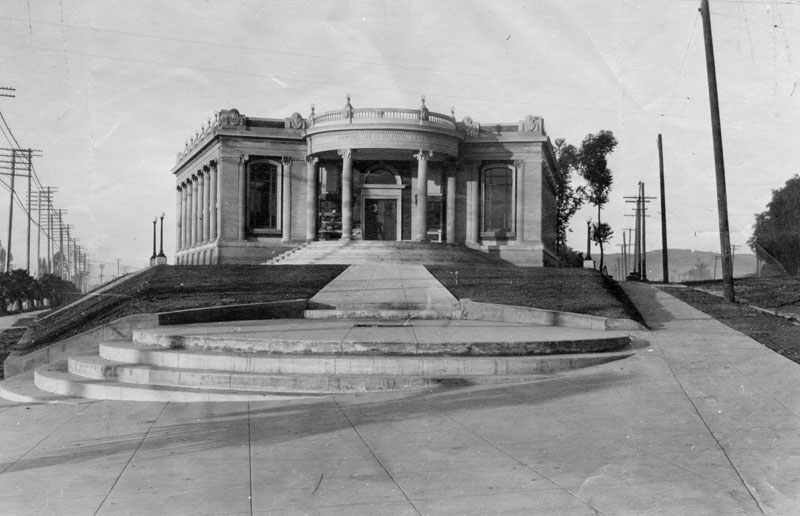 |
|
| (ca. 1916)* - View of the Arroyo Seco Branch Library at the intersection of Pasadena Avenue (now Figueroa Street) and Piedmont Avenue. |
Historical Notes The Arroyo Seco Branch Library was completed in 1914. It was the second of six branches built between 1913 and 1916 with a $210,000 Carnegie grant obtained by Los Angeles in 1911. All but one of these branches included a basement assembly room and an outdoor reading area. In 1932, Pasadena Avenue in Highland Park was renamed to Figueroa Street as part of a larger urban planning initiative in Los Angeles. This change coincided with the completion of the Figueroa Street Tunnels, which created a more direct route between downtown Los Angeles and Highland Park. The renaming was designed to establish Figueroa Street as a continuous thoroughfare from downtown through Highland Park and up to Eagle Rock. Prior to this change, the section of what is now Figueroa Street in Highland Park above Avenue 39 was known as "Pasadena Avenue." |
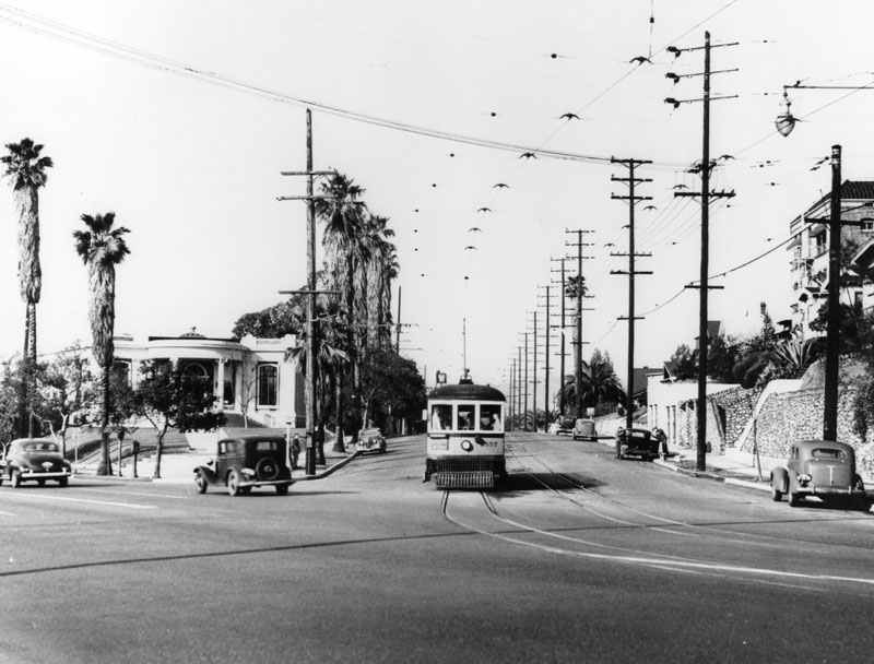 |
|
| (1946)* - View looking southwest on Piedmont Avenue, with the Arroyo Seco Branch Library on the left and a streetcar approaching the bend at N. Figueroa Street. |
Historical Notes In the 1940s, Highland Park's streetcar service along North Figueroa Street, particularly at the intersection with Piedmont Street, was primarily provided by Line 5, operated by the Los Angeles Railway (LARy). This line connected Eagle Rock to downtown Los Angeles and was known for its frequent service, contributing to the vibrant commercial atmosphere of the neighborhood. |
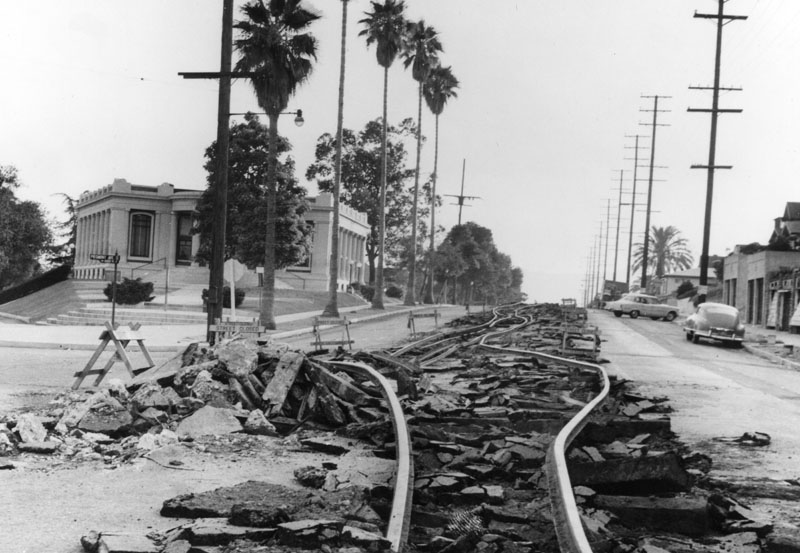 |
|
| (1958)* - View of the old streetcar tracks being torn up on Piedmont Avenue, with one of LADWP’s first power poles still standing in its original location at the corner of Piedmont Avenue and N. Figueroa Street. |
Historical Notes The decline of streetcar service along North Figueroa Street and Piedmont Street in Highland Park was part of a larger trend affecting the Los Angeles Railway (LARy) system in the mid-20th century. Operating from 1895 to 1963, LARy faced financial challenges as early as the 1920s and 1930s, leading to service cuts and the introduction of more efficient streetcars. The rise of bus services and increasing private automobile ownership further pressured the system. Despite a brief period of improved service in the 1920s, the Great Depression and subsequent decades saw a gradual shift away from streetcars. By the 1940s and 1950s, many lines were being replaced by buses. The specific line serving Highland Park, Line 5, continued operating until May 22, 1955, when it was discontinued due to Arroyo Seco Parkway construction. This marked the end of the streetcar era in Highland Park. |
Before and After
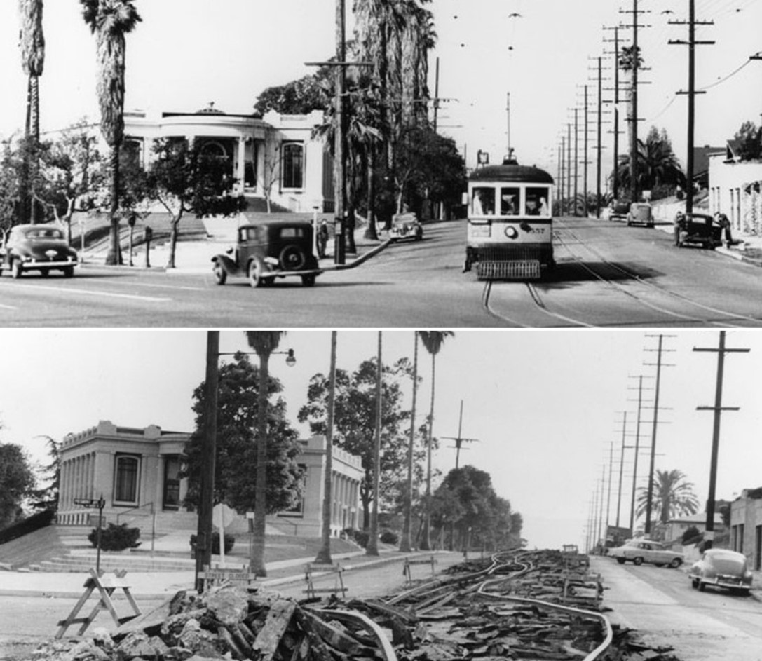 |
|
| (1946 vs. 1958)* - Before and after the removal of the Los Angeles Railway (LARy) tracks on Piedmont Avenue at N. Figueroa Street, with the Arroyo Seco Branch Library on the left. |
Then and Now
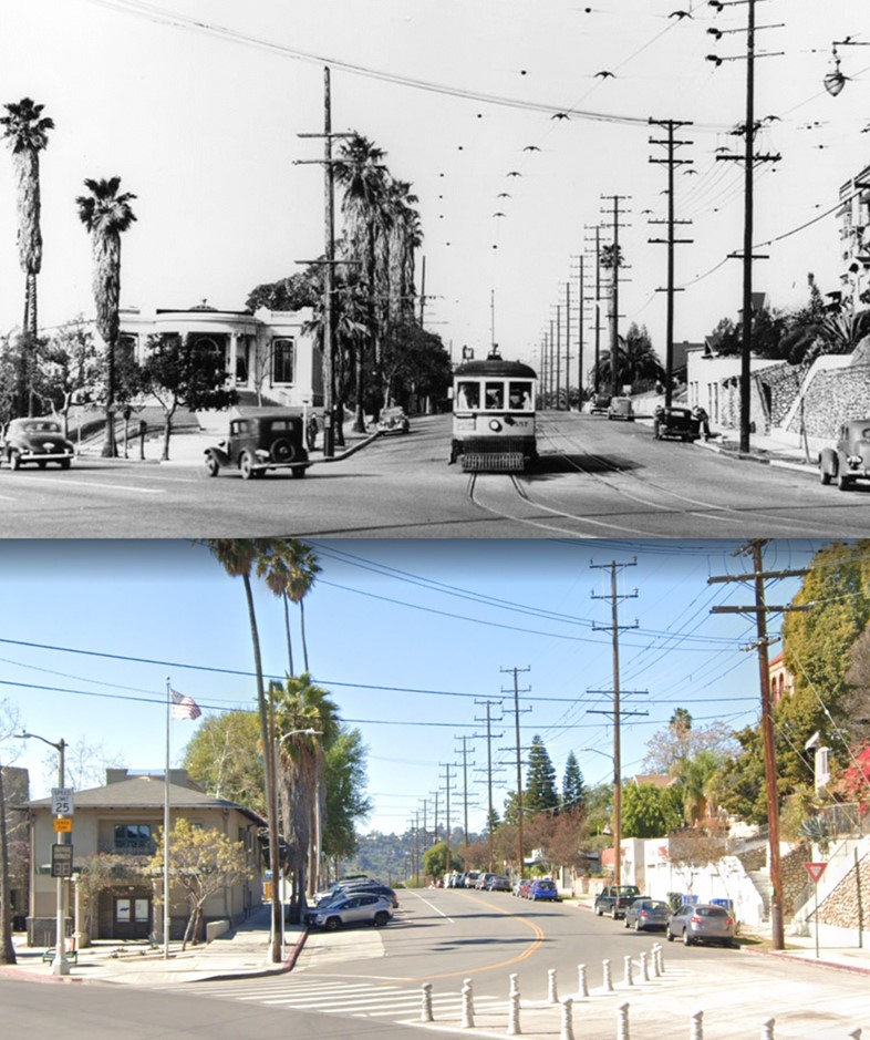 |
|
| (1946 vs. 2021)* – Looking southwest on Piedmont Avenue, with a streetcar heading toward the bend at N. Figueroa Street in Highland Park. Photo comparison by Jack Feldman. |
Historical Notes The original Arroyo Seco Library, built in 1914 in the Classical Revival style, was replaced by a new building in 1960, and then again in 2003. Click HERE to see more. |
* * * * * |
Glendale
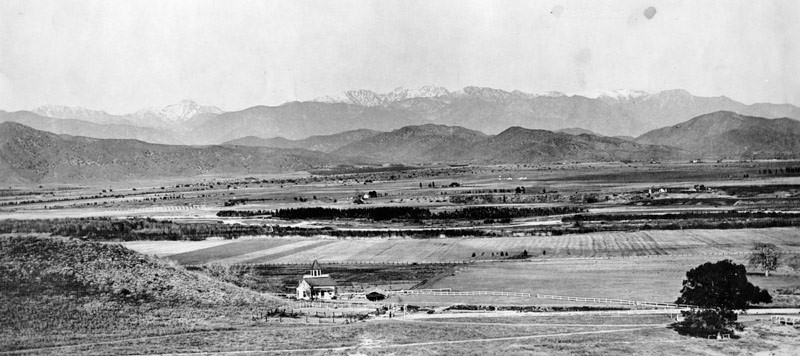 |
|
| (ca. 1900)^ - Panoramic view from Griffith Park of the site of the later city of Glendale as it appeared sometime between the partition of the great San Rafael Rancho in 1870 and the founding of the town in the middle eighties. The Verdugo Hills and San Gabriel Mountains are seen in background. |
Historical Notes In 1884, residents gathered to form a townsite and chose the name "Glendale" (it was bounded by First Street (now Lexington Drive) on the north, Fifth Street (now Harvard Street) on the south, Central Avenue on the west, and the Childs Tract on the east). Residents to the southwest formed "Tropico" in 1887. The Pacific Electric Railway brought streetcar service in 1904. Glendale incorporated in 1906, and annexed Tropico 12 years later. |
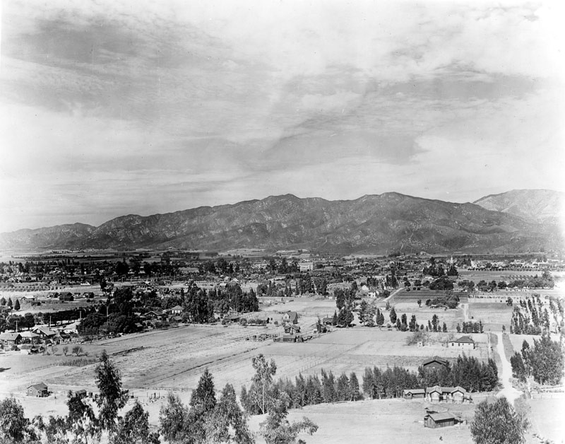 |
|
| (ca. 1910)* - Panoramic view of Glendale, taken from Forest Lawn Hill. |
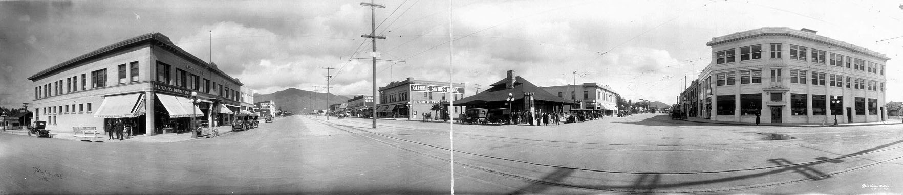 |
|
| (ca. 1915)* - Panoramic view of Glendale showing the Pacific Electric Railway running north and south on Brand Boulevard. |
Historical Notes The Pacific Electric Railway brought streetcar service to Glendale in 1904. An important civic booster of the era was Leslie Coombs Brand, who built an estate in 1904 called El Miradero featuring an eye-catching mansion whose architecture combined characteristics of Spanish, Moorish, and Indian styles (today’s Brand Library and Art Center). Brand partnered with Henry E. Huntington to bring the Pacific Electric Railway, or the "Red Cars," to the area. Today, he is memorialized by one of the city's main thoroughfares, Brand Boulevard. |
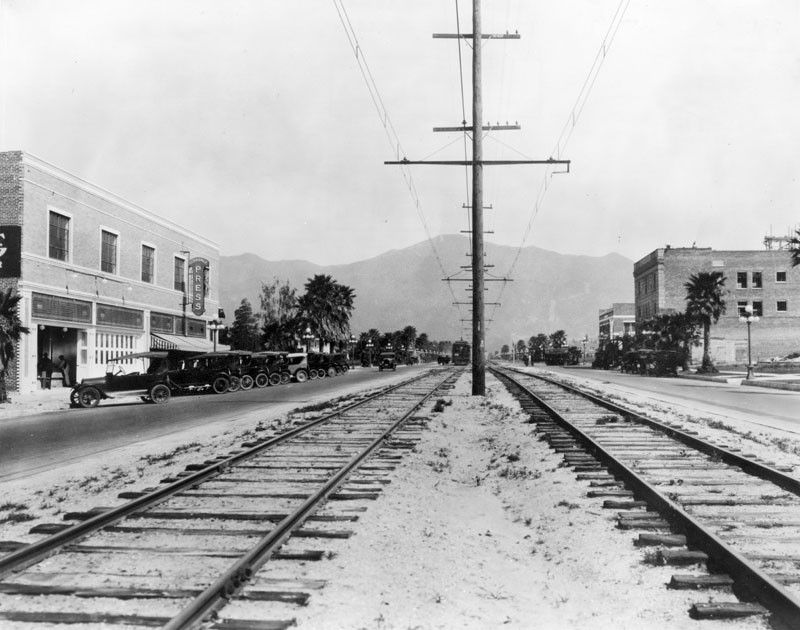 |
|
| (1919)^ - View of Brand and Lexington and the surrounding area. The Glendale Press building is on the left. The train in the distance is stopped to pick up passengers waiting along the way. |
Then and Now
|
|
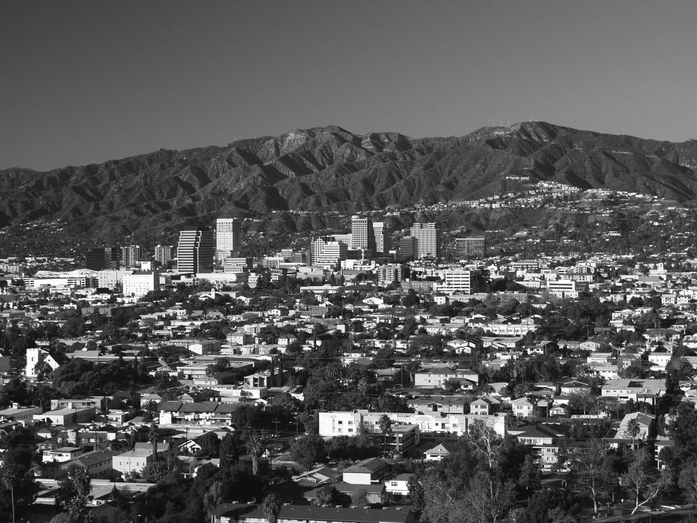 |
|
| (1910 vs 2009)* - View of Glendale from Forest Lawn Memorial Park. Photo comparison by Jack Feldman. |
Historical Notes When incorporated in 1906, Glendale consisted of only 1,486 acres. By 1920, the City had grown through nine annexations to over 7,000 acres. From 1920 to 1930, ten annexations brought the total area to 12,294 acres. Click HERE to see more Early Views of Glendale |
* * * * * |
City of Tropico
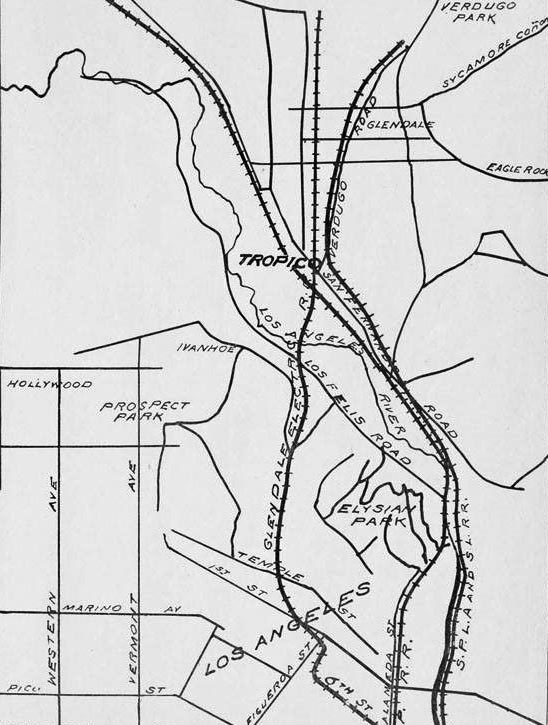 |
|
| (1903)* – A map of Tropico showing rail lines and surrounding area. |
Historical Notes Tropico was put on the map as a fertile agricultural spot in the late 1800s. Shortly thereafter, the town began distancing itself from the rest of Glendale. In 1918, the neighborhood formally succeeded in becoming an independent entity for a short time. |
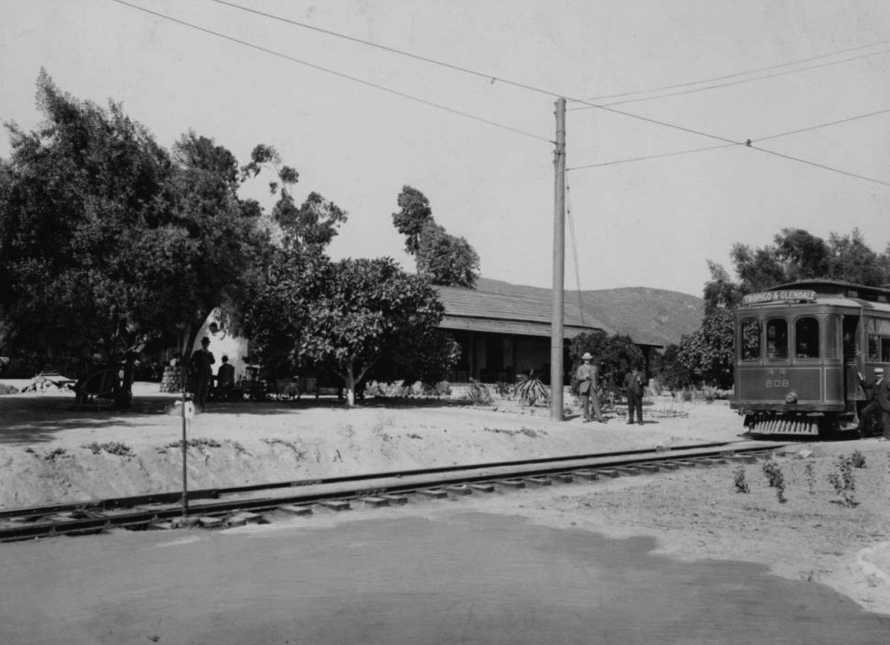 |
|
| (ca. 1900)* – View showing a "Tropico & Glendale" electric car outside Casa Verdugo adobe (Catalina Verdugo Adobe) in Glendale. The conductor stands outside of his electric car on the right with the tracks in front of him leading to the left foreground. Two more men stand next to an electrical pole at center while others sit under the shade of trees at left. The adobe can barely be seen through the trees. |
Historical Notes Rancho San Rafael was granted to José María Verdugo on October 20, 1784. Don José died April 12, 1831, leaving his estate to his son Julio and his blind daughter Catalina. This adobe was built for Dona Catalina in the 1830s; she lived here until her death in 1861. Still in excellent condition, the Catalina, or Original Mud Block, Adobe is now in private ownership. Location: 2211 Bonita Dr, Glendale The Catalina Verdugo Adobe is registered as California Historical Landmark No. 637 and the California Parlor No. 247. Click HERE to see more California HIstorical Landmarks in LA. |
 |
|
| (n.d.)* – Map view showing the boundaries of Tropico. |
Historical Notes Tropico was the name of the southern portion of Glendale, south of Windsor Road, between the late 1800s and 1918. The name "Glendale" had originated in the 1880s and was utilized north of Windsor Road. Political factions had divided the town in two. By the turn of the century, the commercial center of Tropico was at Central and San Fernando Road and its population was 700. |
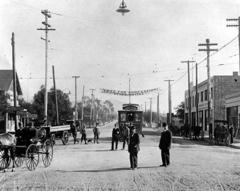 |
|
| (1911)##^ – A banner in support of the annexation of Tropico to Glendale in 1911 hangs outside the measure's headquarters on Broadway near Brand Boulevard in Glendale. The measure failed to pass, with Tropico instead voting for its own incorporation as a city. The issue would be revisited in 1918, when the upper half of Tropico would become a part of Glendale. |
Historical Notes Tropico was just a sleepy little village in the early 1900s. The business district included a few wooden buildings containing a general store, a blacksmith shop, meat store, livery stable, real estate offices and a few other small concerns. The buildings were all clustered near the intersection of San Fernando Road and Central Avenue. But within a few short years, the wood-frame buildings were replaced with brick, business boomed and the community became vibrant. The Tropico Art Tile Works stood just west of the railroad tracks, employing many people, and Tropico also became the shipping center for the strawberries raised in the area. Because of its proximity to Los Angeles, the area became a popular residential spot. The Tropico Chamber of Commerce organized in 1910, along with the Bank of Tropico, and soon the community realized it needed a city government. With so many of its residents commuting into Los Angeles, many favored annexing to Los Angeles. Others, seeing Glendale's successful example of home rule, wanted to be part of Glendale, which had incorporated in 1906. |
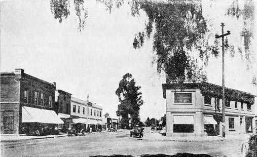 |
|
| (1910s)* - View looking N/W on San Fernando Road at Central Ave with the Bank of Tropico located on the triangular lot at right. |
Historical Notes With so many of its residents commuting into Los Angeles, many favored annexing to Los Angeles. Others, seeing Glendale's successful example of home rule, wanted to be part of Glendale, which had incorporated in 1906. They felt that since the two communities were adjacent and in the same valley, they should be affiliated. Those favoring annexation with Glendale (mainly in the northeast part of Tropico) approached Glendale officials in 1911 and asked that an election be called. The publishers of the Tropico Sentinel vehemently opposed annexation, and the issue failed. Instead, Tropico incorporated as its own city, with Elkanah W. Richardson, son of Tropico's founder, W.C.B. Richardson, serving as a member of the board of trustees. The new city government immediately embarked on a badly needed improvement of the roads, but the annexation issue didn't go away. Petition after petition was filed, each one eventually failing, until finally, in 1918, the annexation proposal passed. The upper half of Tropico voted to go with Glendale, and the lower half voted to merge with Los Angeles. Today, that portion makes up the area known as Atwater. |
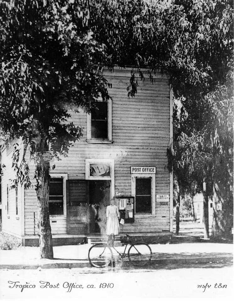 |
|
| (ca. 1910)* – View showing a woman standing in front of the Tropico Post Office, with a bicycle parked by the curb. |
Historical Notes The Tropico Post Office building was owned by WCB Richardson and was located near the corner of Central Avenue and San Fernando Road. |
Then and Now
|
|
 |
|
| (1910s) vs. (2015)* – View looking N/W on San Fernando Road at S. Central Avenue. Photo comparison by Jack Feldman. |
* * * * * |
EL MIRADERO |
High on the lower slopes of the Verdugo Mountains stands one of Southern California's most distinctive historic homes. With its gleaming white domes, slender minarets, and graceful scalloped arches, El Miradero has overlooked Glendale for more than 120 years. Built in 1904 by developer and civic leader Leslie Coombs Brand, the mansion reflected both his success and his extraordinary vision for the community that was taking shape below.Designed by Brand's brother-in-law, architect Nathaniel Dryden, the mansion drew inspiration from the East Indian Pavilion at the 1893 World's Columbian Exposition in Chicago. Its exotic Saracenic design blended Spanish, Moorish, and Indian architectural influences, making it unlike any other residence in Southern California. Beyond its striking appearance, El Miradero became the center of Glendale's social life and a symbol of the city's growing prosperity.The estate would also play an unexpected role in Southern California's aviation history. Fascinated by the new world of flight, Brand built a private airfield below the mansion where pilots gathered for fly-in parties during aviation's earliest years. After Brand's death in 1925, his estate was given to the City of Glendale to serve forever as a public park and library. Today, El Miradero lives on as the Brand Library & Art Center, preserving not only an architectural masterpiece but also the remarkable legacy of the man whose vision helped shape the Glendale we know today. More than a century after its construction, El Miradero remains one of Glendale's most cherished landmarks, reflecting the vision, generosity, and enduring legacy of Leslie C. Brand. |
Building a Landmark
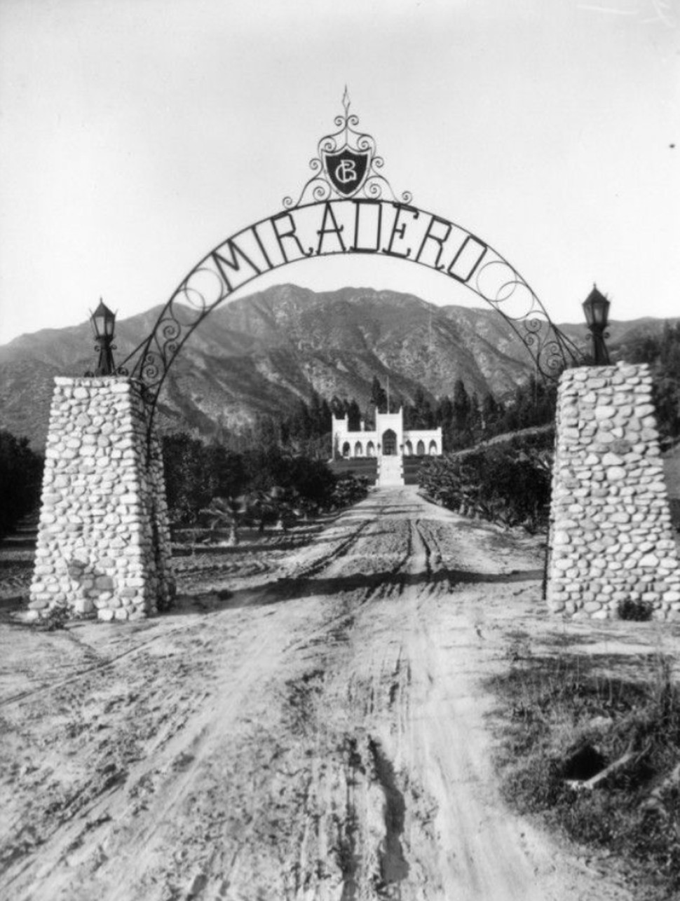 |
|
| (ca. 1904)* - View of El Miradero, the newly completed estate of Leslie C. Brand, as seen from the entrance gates of the property. |
Historical Notes Born in Missouri in 1859, Leslie Coombs Brand came to Southern California in 1886 during the region's first great real estate boom. After achieving success in the title insurance and real estate business, he began investing in land on the lower slopes of the Verdugo Mountains overlooking the young community of Glendale. There he assembled an estate of more than 1,000 acres and, between 1903 and 1904, built the magnificent residence he named El Miradero, meaning "The Lookout" or "The Overlook." More than simply a grand home, El Miradero reflected Brand's confidence in Glendale's future. Its commanding hilltop location offered sweeping views across the San Fernando Valley, Griffith Park, and downtown Los Angeles. Local residents soon nicknamed it "Brand's Castle," and today the mansion is preserved as the Brand Library & Art Center, one of Glendale's best-known historic landmarks. |
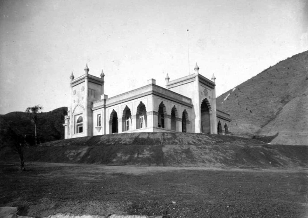 |
|
| (ca. 1904)* – West side view of the newly constructed El Miradero, home of Leslie C. Brand. |
Historical Notes Leslie Brand commissioned his brother-in-law, architect Nathaniel Dryden, to design a residence unlike any other in Southern California. Completed in 1904, the mansion was inspired by the East Indian Pavilion displayed at the 1893 World's Columbian Exposition in Chicago. Dryden adapted its exotic appearance into a striking Saracenic design featuring graceful scalloped arches, slender minarets, bulbous domes, and decorative details influenced by Spanish, Moorish, and Indian architecture. Behind its palace-like exterior stood a comfortable thirteen-room family home designed for entertaining. Surrounded by gardens, a greenhouse, stables, a tennis court, and a swimming pool, El Miradero quickly became one of Glendale's best-known landmarks and the center of many of the city's social gatherings. |
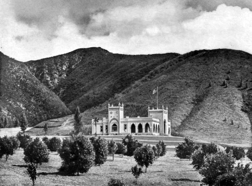 |
|
| (ca. 1906)* – View of El Miradero standing between orange groves in the foreground and the Verdugo Hills in the background. |
Historical Notes When this photograph was taken, Glendale was still surrounded by citrus groves and open countryside. Leslie Brand recognized that reliable transportation would be essential to the community's future and worked with Henry E. Huntington to bring Pacific Electric Railway service to Glendale in 1904. The arrival of the famous Red Cars made the growing town far more accessible to Los Angeles and encouraged the rapid residential and commercial development that soon followed. Brand's influence extended well beyond transportation. He invested in local water, power, and telephone companies, helped guide Glendale's early growth, and played a leading role in shaping the community's modern identity. His lasting contributions are remembered today through Brand Boulevard, Brand Park, and the Brand Library, all of which bear his name. |
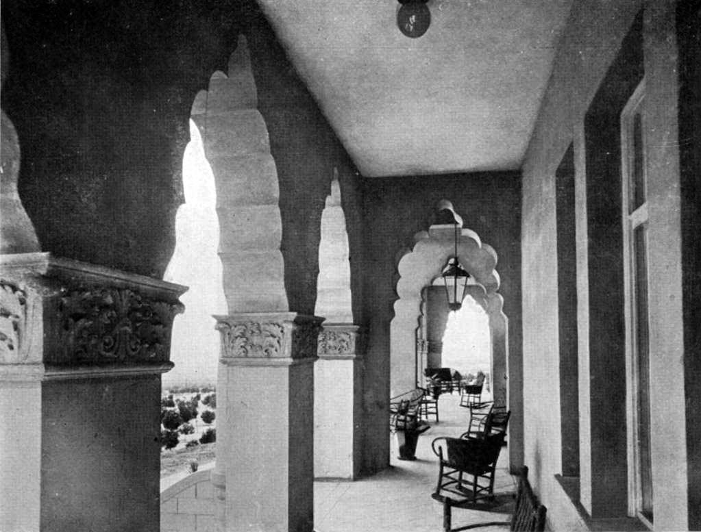 |
|
| (ca. 1906)* - View of the covered porch at El Miradero, enclosed by a graceful arcade of scalloped arches. Wicker furniture and potted plants created an inviting outdoor living space overlooking the estate. |
Historical Notes The broad covered porches and open arcades were among El Miradero's most distinctive features, providing shaded outdoor living areas where Leslie and Mary Louise Brand could relax and entertain while enjoying cooling breezes and panoramic views of Glendale, Griffith Park, and the Los Angeles Basin. The mansion was thoughtfully designed to take full advantage of Southern California's mild climate, blurring the line between indoor and outdoor living. Like the rest of the estate, the porch reflected Brand's hospitality. Family, friends, business associates, and civic leaders were frequent guests at El Miradero, where elegant surroundings and sweeping vistas made the mansion one of Glendale's best-known gathering places during the city's formative years. |
A Castle Takes Flight
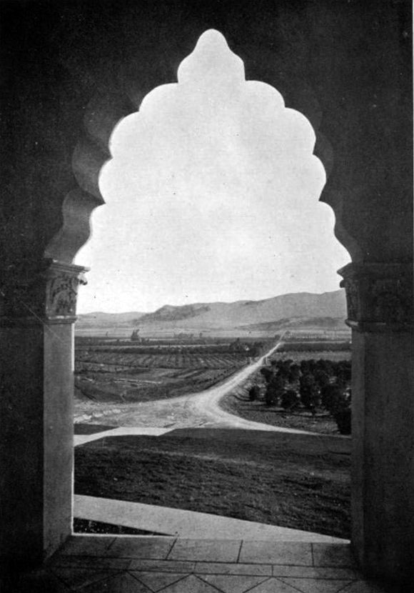 |
|
| (ca. 1906)* – View looking south over Glendale and Griffith Park toward Los Angeles through one of the many arches of El Miradero. |
Historical Notes The name El Miradero was well chosen. From the mansion's terraces and arched verandas, Leslie Brand enjoyed sweeping views across Glendale and the valley below toward Griffith Park and downtown Los Angeles. At the time this photograph was taken, the landscape below was still largely rural, with orange groves, scattered homes, and open fields stretching toward the city. Everything changed with the arrival of aviation. In 1912, Griffith Park Aerodrome opened just across the Los Angeles River, well within view of El Miradero. Watching the early airplanes take to the sky sparked Brand's fascination with flight. Within a few years, he transformed part of his own estate into one of Southern California's earliest private airfields, launching a remarkable new chapter in the history of El Miradero. |
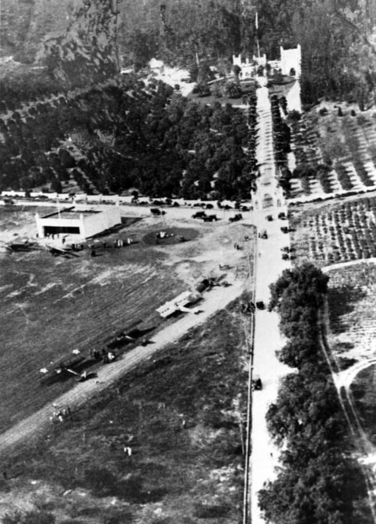 |
|
| (1921)* - Aerial view of L. C. Brand's private airfield in front of his home, El Miradero, in Glendale. Aircraft took off downhill toward Kenneth Road. |
Historical Notes Around 1916, Leslie Brand established a private grass airfield on approximately fifteen acres below El Miradero. Known as Brand Field, it featured a 1,200-foot rolled dirt runway, a distinctive Moorish-style hangar designed to complement the mansion above, and carefully landscaped grounds that reflected Brand's pride in the property. Because of the steep hillside, airplanes took off downhill toward Kenneth Road and landed uphill toward the estate. Brand Field was among the earliest private airfields in Southern California and reflected the excitement surrounding aviation during its pioneering years. What began as a personal hobby soon became one of Glendale's most unusual attractions, drawing aviators from throughout the Los Angeles area and helping establish the city as an early center of aviation. |
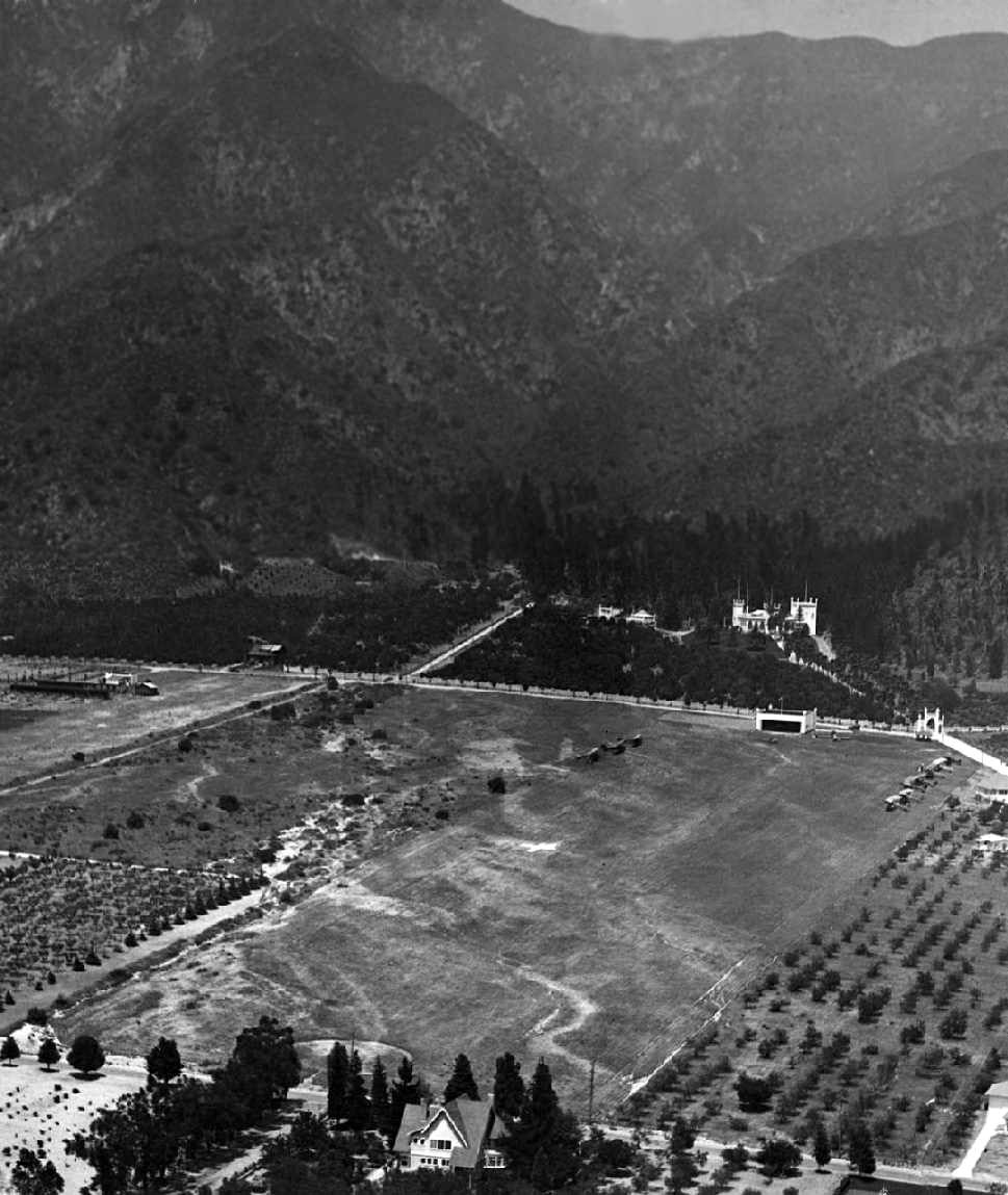 |
|
| (ca. 1923)* – Aerial view looking north at Brand Field, showing the hangar and ten aircraft on the field, with El Miradero across the street. Because of the steep terrain, aircraft departed downhill toward the south. |
Historical Notes Although photographs like this one show numerous airplanes gathered at Brand Field, only a few were permanently based there. Most arrived during Brand's popular fly-in gatherings, when pilots from across Southern California landed on the hillside airstrip to enjoy an afternoon of flying, food, and fellowship. Brand also acquired several surplus Curtiss JN-4 "Jenny" trainers following World War I. Like many aviation enthusiasts of the era, he enjoyed restoring, maintaining, and occasionally flying these legendary aircraft, while others remained in storage on the estate. His enthusiasm reflected the nationwide fascination with aviation during the years immediately following the war. |
From Private Estate to Public Legacy
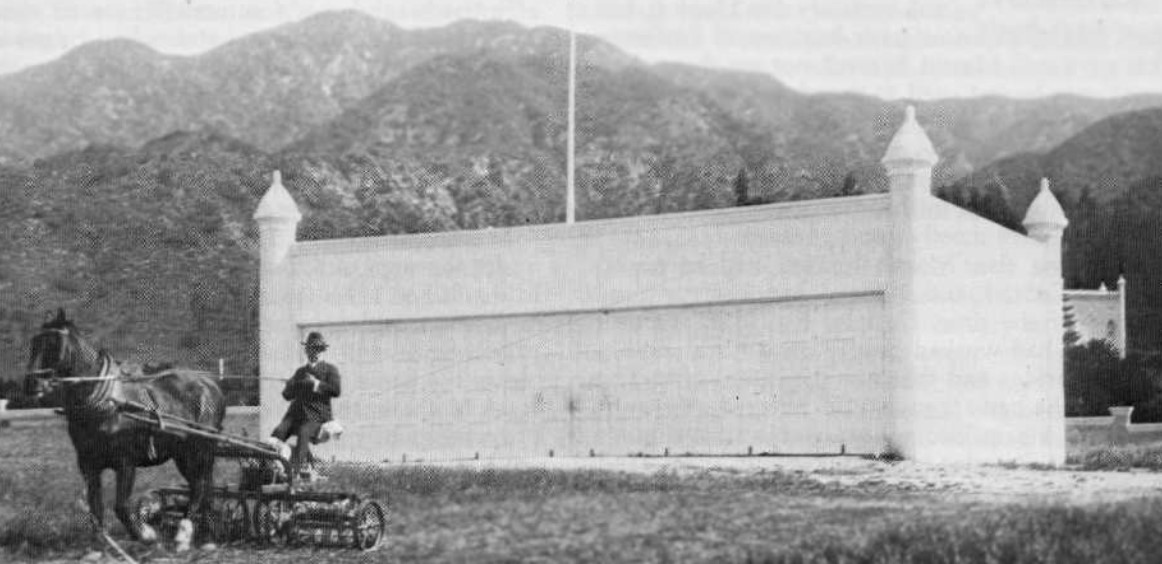 |
|
| (ca. 1920s)* – Millionaire Leslie C. Brand mowing the grass in front of the Moorish-style hangar at his private airfield. |
Historical Notes Despite his wealth and success, Leslie Brand took a personal interest in maintaining every aspect of El Miradero. This photograph captures him mowing the grass in front of the Moorish-style hangar, which he built in 1916 to complement the architecture of the mansion above. With its corner turrets and decorative details, the hangar reflected the same distinctive character as the estate itself. Brand's passion for aviation went far beyond owning airplanes. He kept the airfield carefully maintained and welcomed fellow aviators to share his enthusiasm for flying. His hands-on approach reflected the energy and curiosity that had shaped both his business career and his vision for Glendale. |
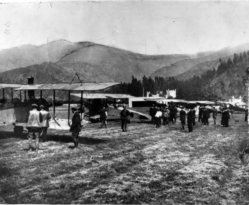 |
|
| (1921)* – Airplanes and guests arriving at Brand's fly-in luncheon party on April 1, 1921, with El Miradero seen in the background. Click HERE to see more in Aviation in Early L.A. |
Historical Notes Brand Field became famous for its fly-in luncheon parties, among the earliest aviation gatherings of their kind in Southern California. The only requirement for attending was simple: guests had to arrive in their own airplanes and bring passengers. Pilots from across the Los Angeles area landed on the grassy hillside while visitors gathered beneath the shadow of El Miradero for an afternoon of flying, conversation, and hospitality. These events reflected the optimism and excitement surrounding aviation during the early 1920s. Long before commercial air travel became commonplace, Leslie Brand had transformed his private estate into a welcoming destination where friends shared a common passion for the newest form of transportation. |
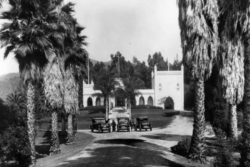 |
|
| (ca. 1920)* - View of El Miradero and its estate grounds. Three automobiles are parked where the driveway meets the path to the front door, with three men and one woman standing beside them. |
Historical Notes By the early 1920s, El Miradero had become one of Glendale's best-known landmarks. Surrounded by gardens, orchards, and sweeping lawns, the estate reflected both Leslie Brand's personal success and his enduring belief in Glendale's future. The mansion welcomed civic leaders, business associates, neighbors, and visitors from throughout Southern California, serving as both a family home and a center of community life. As his health declined, Brand began planning for the future of the estate he loved. He arranged for El Miradero and much of the surrounding property to pass to the City of Glendale after the death of his wife, Mary Louise. His gift came with one condition: the estate was to be preserved forever as a public park and library, ensuring that future generations could enjoy the place that had meant so much to him. |
A Lasting Legacy
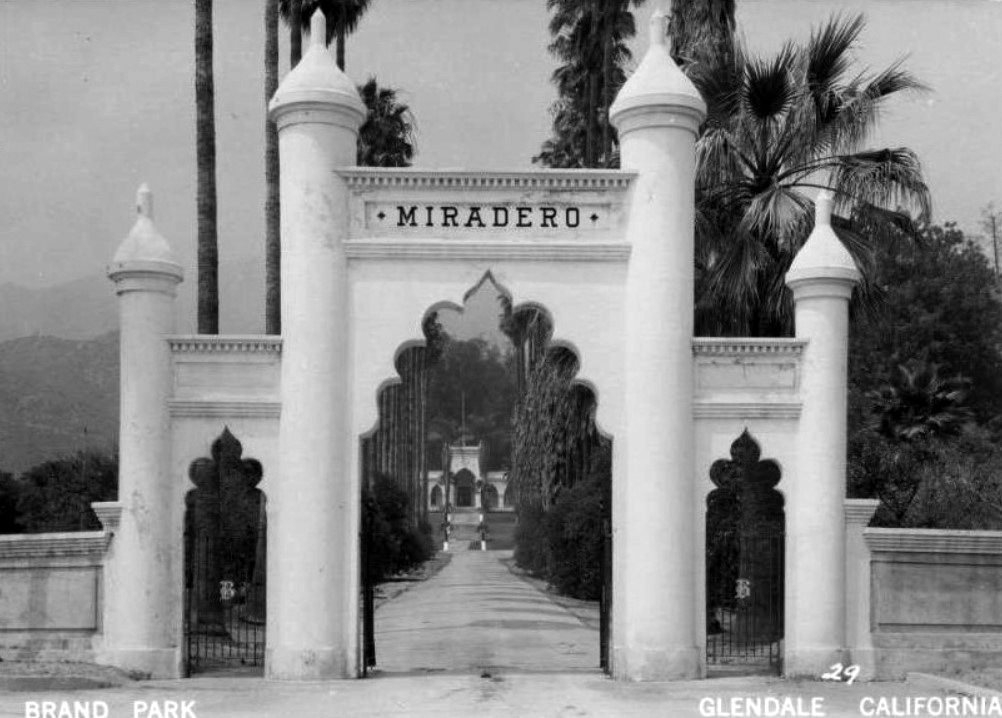 |
|
| (ca. 1940s)* - Postcard view of the arched entrance to El Miradero, the former estate of Leslie C. Brand, located in Brand Park. |
Historical Notes Following the death of Mary Louise Brand in 1945, ownership of El Miradero passed to the City of Glendale, fulfilling Leslie Brand's wish that his estate become a public park and library. The grounds were opened to the public, preserving one of the city's most recognizable landmarks for future generations. The graceful entrance gate, with its stone pillars, decorative ironwork, and distinctive "Miradero" arch, has welcomed visitors for more than a century. Beyond it, the mansion began a new chapter in its history. In 1956, El Miradero reopened as the Brand Library, becoming the art and music branch of the Glendale Public Library while retaining the architectural character that has made it one of Southern California's most distinctive historic homes. |
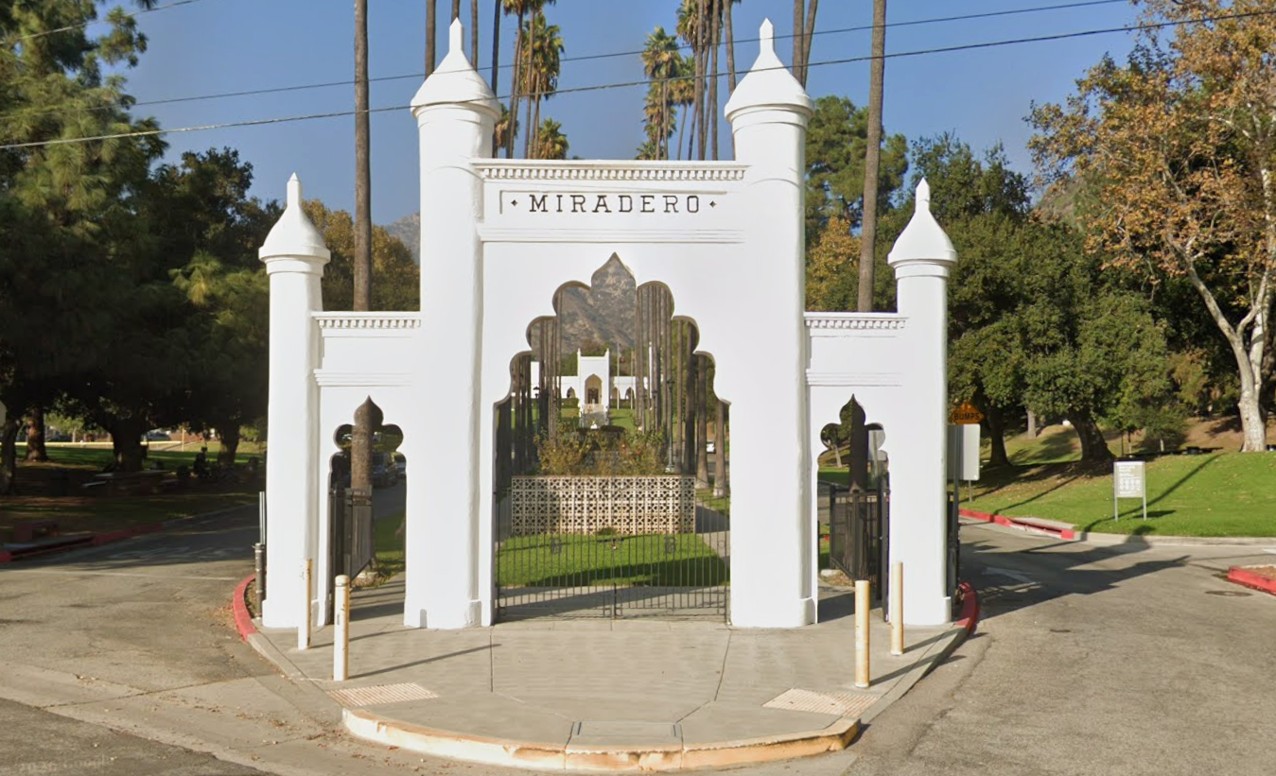 |
|
| (2025)* - Contemporary view of the entrance to Brand Park and the Brand Library, the former home of Leslie C. Brand. |
Historical Notes Today, El Miradero remains one of Glendale's cultural treasures. Carefully restored and modernized over the years, the former mansion continues to serve the community as the Brand Library & Art Center, offering art exhibitions, concerts, lectures, and one of Southern California's finest collections of art and music resources. Surrounding the mansion, Brand Park has grown into one of Glendale's most popular public spaces. Visitors can enjoy walking trails, picnic areas, the historic Doctor's House Museum, a Japanese Friendship Garden, and panoramic views of the Verdugo Mountains. High on the hillside overlooking the estate rests Leslie Brand himself, buried beneath a distinctive pyramid-shaped monument that quietly watches over the city he helped build. |
Then and Now
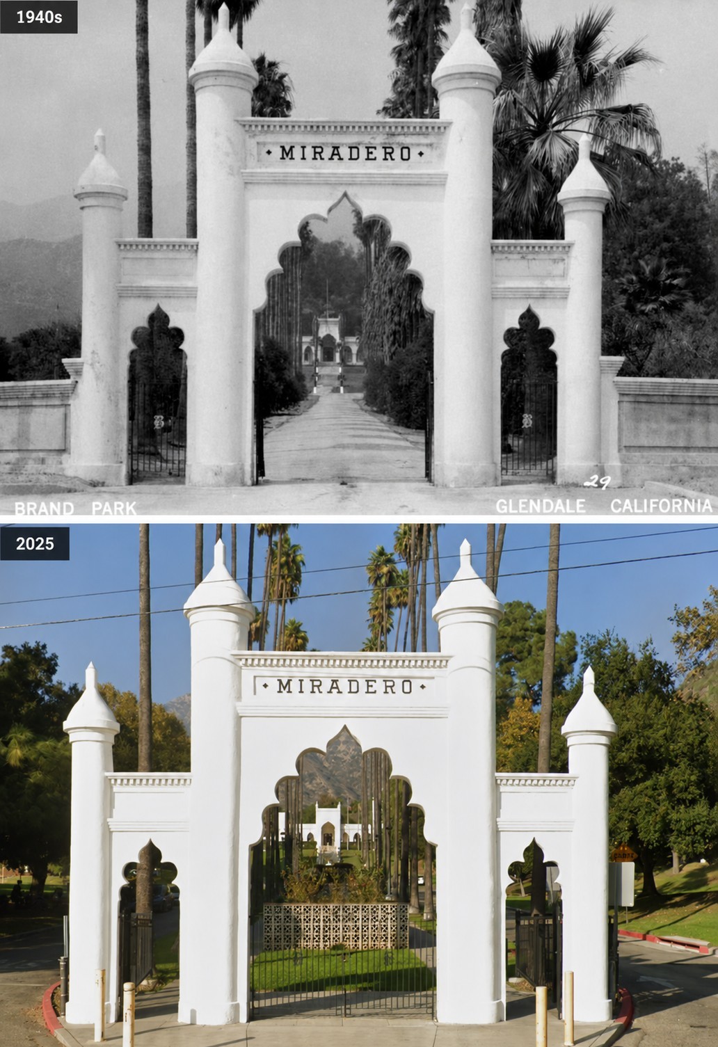 |
|
| (1940s vs. 2025)* – The entrance to El Miradero, the former estate of Leslie C. Brand, remains one of Southern California's best-preserved historic estate gateways. Photo comparison my Jack Feldman. |
Historical Notes More than eighty years separate these two views, yet remarkably little has changed. The graceful arch, stone pillars, decorative ironwork, and tree-lined approach remain much as visitors would have experienced them during Leslie Brand's lifetime. While the dirt road has given way to pavement and the surrounding landscape has matured, the entrance continues to convey the same sense of arrival that greeted guests more than a century ago. What was once the gateway to a private estate now welcomes everyone. Leslie Brand's home became Brand Park. His mansion became the Brand Library. His vision became part of Glendale's identity. More than 120 years after El Miradero was built, its greatest legacy is not its architecture, but the generosity of the man who ensured that future generations would always be able to enjoy it. |
* * * * * |
Downtown Los Angeles: A City in Transition |
At the dawn of the twentieth century, downtown Los Angeles was two cities living side by side. On the streets below, banks, hotels, department stores, and office buildings were rising as fast as builders could erect them. Just west of the commercial district, Bunker Hill remained an elegant neighborhood of Victorian mansions and fashionable hotels overlooking the growing city.The three photographs in this section capture that remarkable moment of transition. Horse drawn wagons still shared the streets with some of the city's earliest automobiles, while stately homes stood beside expanding business blocks and electric streetcar lines. As Los Angeles' population tripled between 1900 and 1910, downtown rapidly evolved from an exclusive residential district into the commercial and civic center of Southern California.Today, nearly everything seen in these photographs has disappeared. The Victorian homes of Bunker Hill gave way to redevelopment, while the great mansions along Spring Street were replaced by office buildings. Together, these images preserve a brief chapter when old Los Angeles and the modern city existed side by side. |
 |
|
| (ca. 1904)* - Panoramic view of downtown Los Angeles from the Melrose Hotel on Bunker Hill, looking east. Large Victorian residences fill the foreground, while the city's commercial district, government buildings, and churches stretch across the skyline. The tower of the old City Hall rises near the center of the photograph. |
Historical Notes This panoramic view looks across a city in transition. Bunker Hill was then one of Los Angeles' most prestigious residential neighborhoods, known for its grand Victorian homes and elegant residential hotels. Beyond them lay the rapidly expanding business district centered on Spring, Main, and Broadway, where office buildings, banks, and public institutions reflected the city's extraordinary growth. The Melrose Hotel stood on Grand Avenue between First and Second streets. Built in 1889 during the city's great building boom and later expanded, it remained one of Bunker Hill's best known residential hotels for decades before being demolished in 1957. The tower near the center of the photograph belongs to the old City Hall, completed in 1889 and serving the city until the present City Hall opened in 1928. If the Melrose still stood today, its front porch would look directly across Grand Avenue toward Walt Disney Concert Hall. |
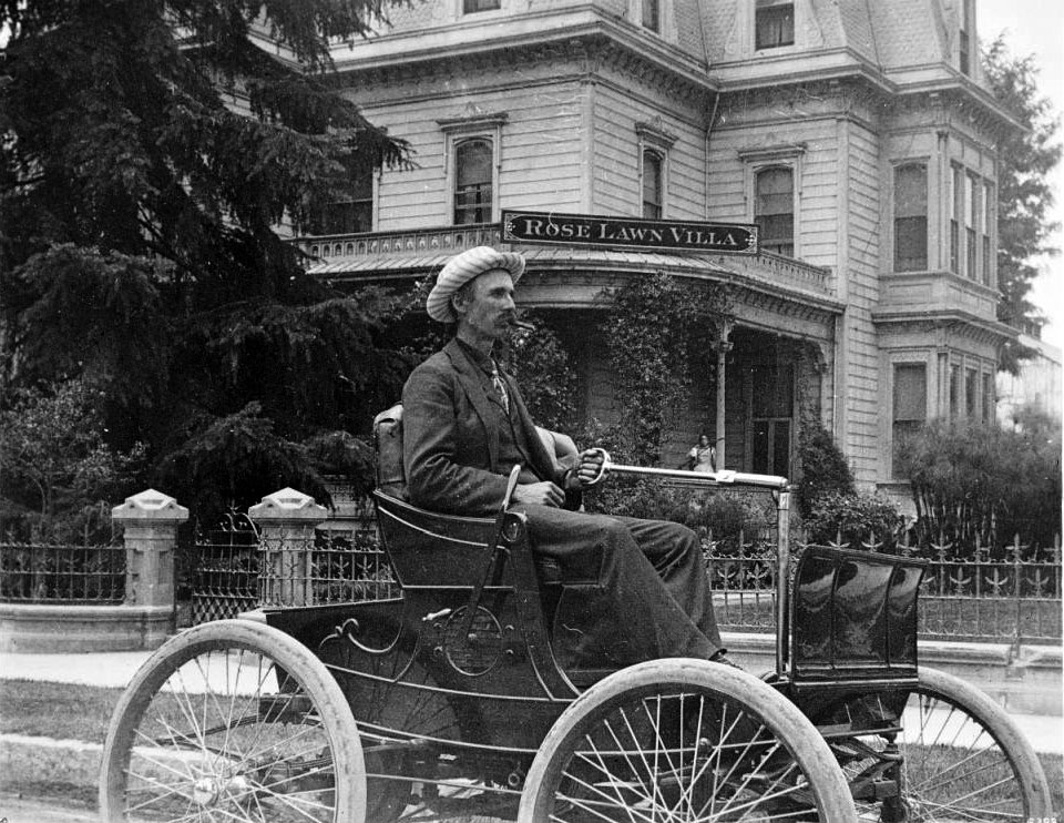 |
|
| (ca. 1902)* - View of a man driving a horseless carriage along Spring Street in front of the I. N. Van Nuys residence. He steers the open vehicle with a tiller rather than a steering wheel. Behind him rises the elaborate Victorian home with its gingerbread trim, broad porch, and wrought-iron fence. A sign hanging over the vine-covered porch reads "Rose Lawn Villa." |
Historical Notes Isaac Newton Van Nuys was one of the most influential businessmen in early Los Angeles. After arriving in 1871, he partnered with Isaac Lankershim in developing vast agricultural holdings in the San Fernando Valley. Their success in wheat farming helped build one of California's largest fortunes, and the community of Van Nuys would later bear his name. The horseless carriage in the foreground represents one of the earliest generations of automobiles seen on Los Angeles streets. Vehicles of this type were powered by electricity, steam, or gasoline, all of which competed for public acceptance at the turn of the twentieth century. The design of this runabout closely resembles many of the electric cars popular during the period, although its exact make and power source cannot be determined from the photograph alone. Quiet, easy to operate, and requiring no hand cranking to start, electric automobiles became especially popular for city driving before gasoline-powered vehicles eventually came to dominate the nation's roads. Los Angeles embraced the new technology early. In 1897, seventeen-year-old Earle C. Anthony built and drove an electric automobile as a Los Angeles High School project, years before becoming one of Southern California's most influential automobile dealers. The Van Nuys residence stood on Spring Street near Seventh Street, although the neighborhood was already changing. Within a few years, the family home would be replaced by the eleven-story I. N. Van Nuys Building, which still occupies the site today. |
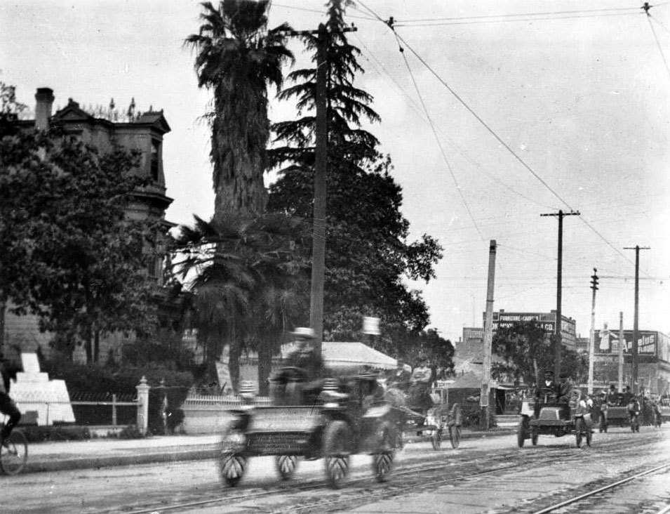 |
|
| (1904)* - View looking north on Spring Street from Seventh Street on May 24, 1904. Several early automobiles travel along the unpaved roadway beside streetcar tracks. Only the wrought-iron fence and rooftop of the Van Nuys residence are visible through the surrounding trees. |
Historical Notes Only a short time after the previous photograph was taken, Spring Street was becoming one of the busiest streets in Los Angeles. Automobiles, electric streetcars, telephone lines, and growing commercial activity reflected a city embracing the twentieth century. Just a year earlier, the Continental Building had opened a few blocks north as Los Angeles' first skyscraper, signaling the beginning of downtown's vertical growth. The Van Nuys residence had become one of the last grand homes on Spring Street. As banks and office buildings replaced the neighborhood's Victorian mansions, the corridor evolved into the city's financial district, earning the nickname "Wall Street of the West." The disappearance of the Van Nuys home mirrored the transformation of downtown Los Angeles from an elegant residential neighborhood into the thriving commercial center of the rapidly growing city. |
* * * * * |
State Normal School |
Long before UCLA became one of the world's leading public universities, it began as a modest teacher training school overlooking downtown Los Angeles. Established in 1882 on Normal Hill at Grand Avenue and Fifth Street, the Los Angeles State Normal School prepared teachers for Southern California's rapidly growing communities. As enrollment expanded, the institution evolved into the Southern Branch of the University of California before eventually relocating to its permanent home in Westwood. |
 |
|
| (Early 1900s)* - Side view of the State Normal School at Grand Avenue and Fifth Street. From its hilltop location, the campus commanded sweeping views of downtown Los Angeles. |
Historical Notes Authorized by the California Legislature in 1881 after local leaders successfully campaigned for a southern branch of the State Normal School, the campus opened on August 29, 1882. Built atop Bellevue Terrace, later known as Normal Hill, its prominent Victorian architecture made it one of downtown Los Angeles' most recognizable landmarks. The site is occupied today by the Los Angeles Central Library. |
 |
|
| (1904)* - Panoramic photograph of the faculty and student body at the Los Angeles State Normal School on Grand Avenue and Fifth Street. |
Historical Notes The school combined classroom instruction with hands-on teaching experience through an on-campus demonstration elementary school, where future teachers practiced under the supervision of experienced educators. That demonstration school continued through each campus relocation and survives today as UCLA Lab School, one of the university's oldest educational programs. |
 |
|
| (Early 1900s)* - Aerial view of the State Normal School on Normal Hill. Visible at left is the Bible Institute, later home to the Church of the Open Door, while the Key West Rooms and Apartments appear in the lower left. |
Historical Notes This rare aerial view illustrates the commanding position of the Los Angeles State Normal School atop the last knoll of Bunker Hill. Its elevated setting made the campus one of downtown Los Angeles' most recognizable landmarks, offering sweeping views of the rapidly growing city. The school occupied the site where the Los Angeles Central Library stands today. By 1914, Los Angeles had grown to more than 350,000 residents, and the school's enrollment had outgrown the hilltop campus. That year the institution relocated to a larger campus on Vermont Avenue. In 1919 it became the Southern Branch of the University of California, and in 1927 it was renamed the University of California at Los Angeles. Two years later, UCLA opened its permanent campus in Westwood, completing its transformation from a small teachers college into one of the world's leading public universities. Click HERE to see more Early Views of the Normal School and UCLA. |
From Normal Hill to Today |
Few places in Los Angeles have changed more dramatically than the former State Normal School campus and its surrounding neighborhood. The following photographs illustrate how Normal Hill, Hope Street, and the Victorian community below the school were transformed during the twentieth century. |
 |
|
| (ca. 1898)* - Looking north on Hope Street from near Sixth Street, where the road ended in a cul-de-sac at the base of Normal Hill beneath the Los Angeles State Normal School. The Victorian residence and adjoining building at right would later serve as the first home of the Los Angeles Bible Institute (now Biola University). Today, the site is occupied by the 28-story KPMG Center at 550 South Hope Street. |
Historical Notes By 1898, the Los Angeles State Normal School had become Southern California's leading institution for training public school teachers. As enrollment increased, additional wings were added to the original building, creating the impressive Victorian campus seen here atop Normal Hill. The expanded school reflected both the region's rapid population growth and the increasing demand for trained teachers. This photograph also preserves a rare glimpse of Bunker Hill during its residential heyday. The Victorian residence and adjoining building at right became the first home of the Los Angeles Bible Institute after its founding in 1908. In 1915 and 1916, the property was redeveloped with the institute's landmark 13-story headquarters, which remained on the site until its demolition in 1988. |
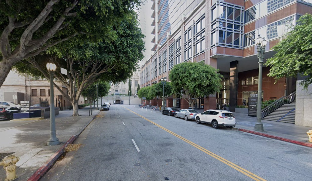 |
|
| (2024)* - Looking north on Hope Street from near Sixth Street toward the Los Angeles Central Library, which now occupies the former site of the Los Angeles State Normal School. |
Historical Notes Between 1922 and 1926, Normal Hill was largely removed to extend Fifth Street and prepare the site for construction of the Los Angeles Central Library. The hilltop campus disappeared, Hope Street was extended beyond its former cul de sac, and the surrounding Victorian neighborhood gradually gave way to modern commercial development. Today, few visible traces remain of the landscape that gave birth to UCLA. |
Then and Now
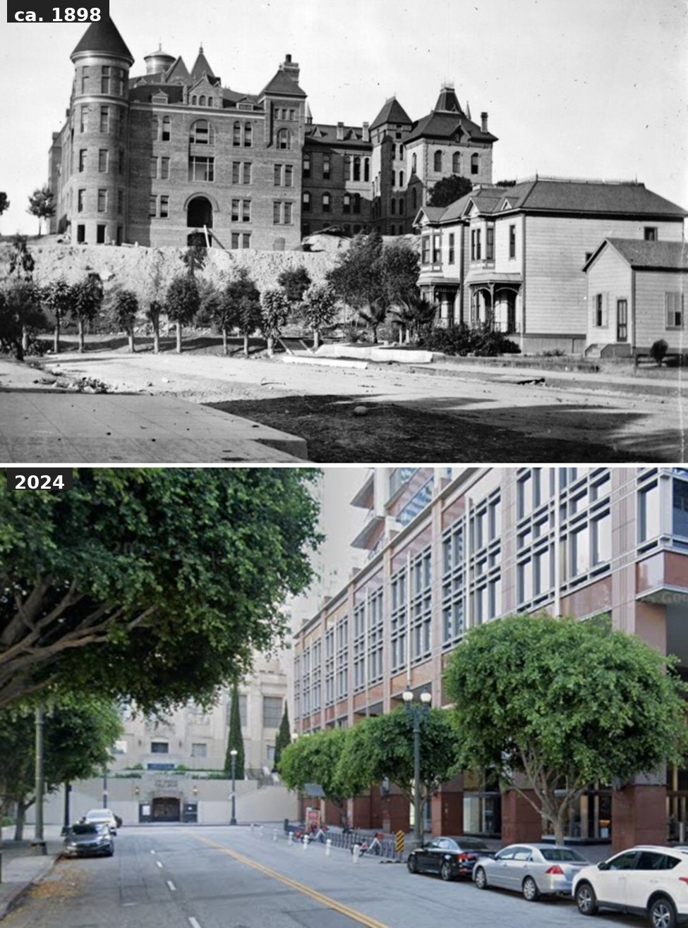 |
|
| (ca. 1898 vs. 2024)* – Looking north on Hope Street from near Sixth Street. Once ending in a cul-de-sac beneath Normal Hill and the Los Angeles State Normal School, Hope Street now extends to the Los Angeles Central Library, built on the school's former site. Photo comparison by Jack Feldman. |
Historical Notes More than a century separates these two views, yet both were photographed from nearly the same location. Together they document one of downtown Los Angeles' most dramatic transformations. Normal Hill has disappeared, the Los Angeles State Normal School gave way to the Central Library, Hope Street was extended north, and the Victorian neighborhood that once surrounded the campus has been replaced by the city's modern Financial District. Few locations better illustrate the remarkable evolution of Los Angeles—or the humble beginnings of the institution that would become UCLA. |
Click HERE to see more Early Views of the Normal School and UCLA. |
* * * * * |
Hazard & Harpham Patent Office |
Among the earliest patent attorneys serving Southern California, few were better known than the firm of Hazard & Harpham. The practice was headed by Henry T. Hazard, a former mayor of Los Angeles (1889–1892), attorney, and civic leader whose name lives on today in Hazard Park and the former Hazard's Pavilion.The three photographs in this section trace the firm's move between two successive downtown locations as Los Angeles rapidly evolved during the early twentieth century. The first shows Hazard & Harpham in the historic Downey Block near Temple Street shortly before the building was demolished in 1905. The next two photographs show the firm's new offices at Fifth and Spring streets, illustrating the steady southward shift of the city's commercial and financial center. |
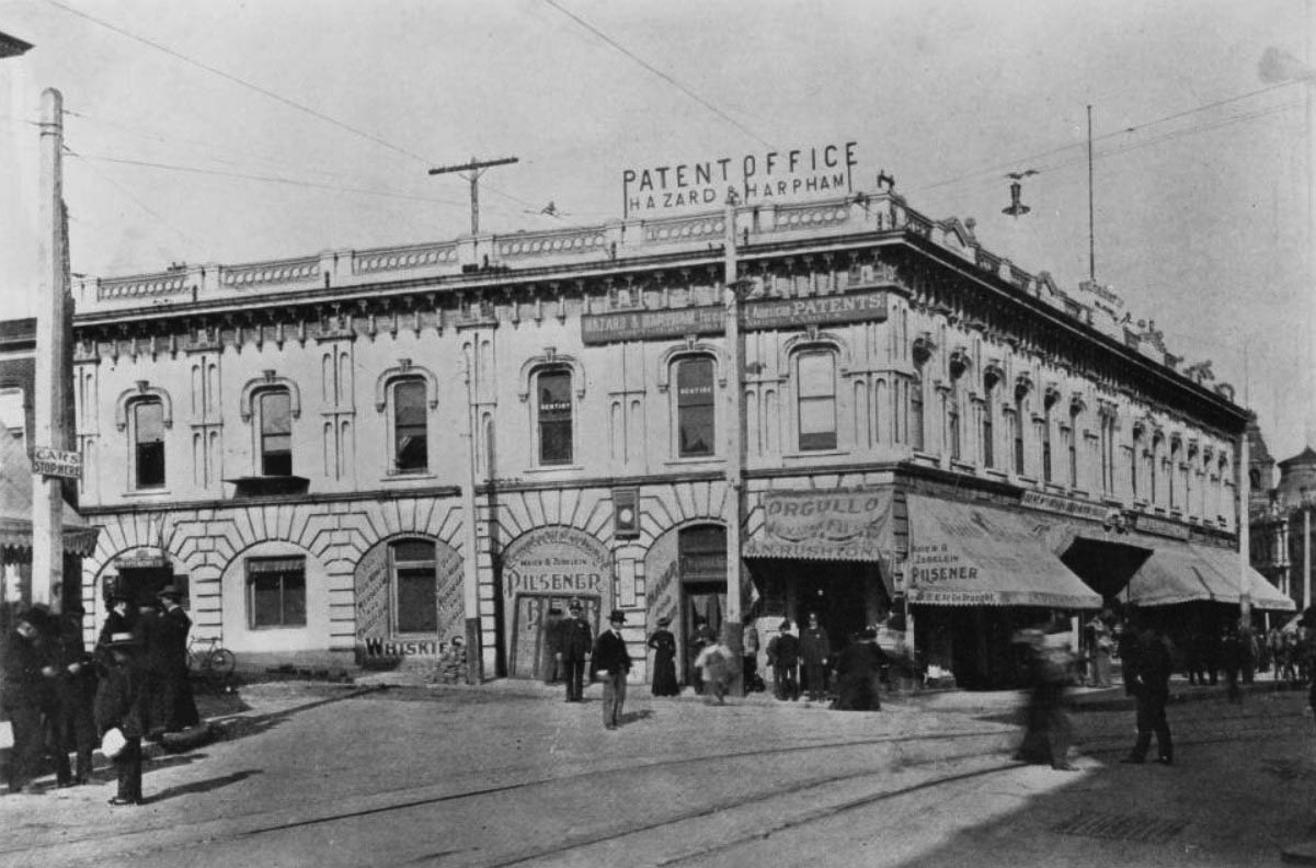 |
|
| (ca. 1904)* – View looking north showing the Downey Block on the northwest corner of Main and Temple streets, facing the three-way intersection where Spring, Main, and Temple streets came together. Men and women stand along the sidewalks and in the street in front of the busy commercial building. The Hazard & Harpham Patent Office advertises from the upper floor, while signs at street level promote whiskies, wines, and other alcoholic beverages. |
Historical Notes The site had long been one of Los Angeles' most important commercial corners. After acquiring the property from the Temple estate, former California Governor John G. Downey erected the Downey Block, which became home to stores, professional offices, and, for a time, the city's first public library. By the early 1900s, former Mayor Henry T. Hazard and his partner, G. E. Harpham, had established their patent law offices in the building, helping inventors secure United States patents during a period of rapid growth and innovation. The Downey Block was demolished in 1905 after the property was acquired for a new Federal Building and Post Office. Completed in 1910, that building served as Los Angeles' principal federal facility until 1937, when it too was replaced. The present Federal Courthouse and U.S. Post Office Building, completed in 1940 and now known as the Spring Street Courthouse, continues to occupy the site today. The Hazard & Harpham Patent Office relocated to a building at the southeast corner of Fifth and Spring streets, shown in the next two photographs. |
Hazard & Harpham's New Offices at Fifth and Spring |
By the early 1900s, Los Angeles' commercial center was steadily shifting southward. Banks, law offices, retailers, and other businesses were leaving the older Temple Street district for Spring Street, which was rapidly becoming the city's financial center. Hazard & Harpham's move reflected this changing downtown landscape. |
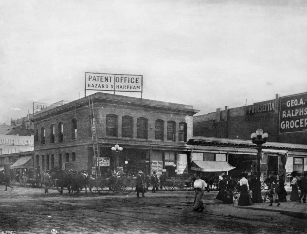 |
|
| (ca. 1905)* – View showing the southeast corner of Fifth and Spring streets, the new home of the Hazard & Harpham Patent Office. The firm's two-story brick building stands at center with its rooftop sign visible above the street. Pedestrians, a horse-drawn carriage, and the neighboring George A. Ralphs Grocery Company illustrate the busy commercial character of the district. |
Historical Notes The relocation placed Hazard & Harpham in one of the fastest-growing business districts in Los Angeles. Just a year later, the elegant Alexandria Hotel would open across the intersection, further establishing Fifth and Spring as one of the city's premier commercial addresses. For a patent law firm serving inventors, manufacturers, and entrepreneurs, the location offered excellent visibility and convenient access to the city's expanding business community. Next door stood the flagship store of George A. Ralphs Grocery Company, one of Los Angeles' best-known retailers. Founded in 1873, the company grew into Southern California's leading grocery chain and remains today the oldest supermarket chain west of the Mississippi River. |
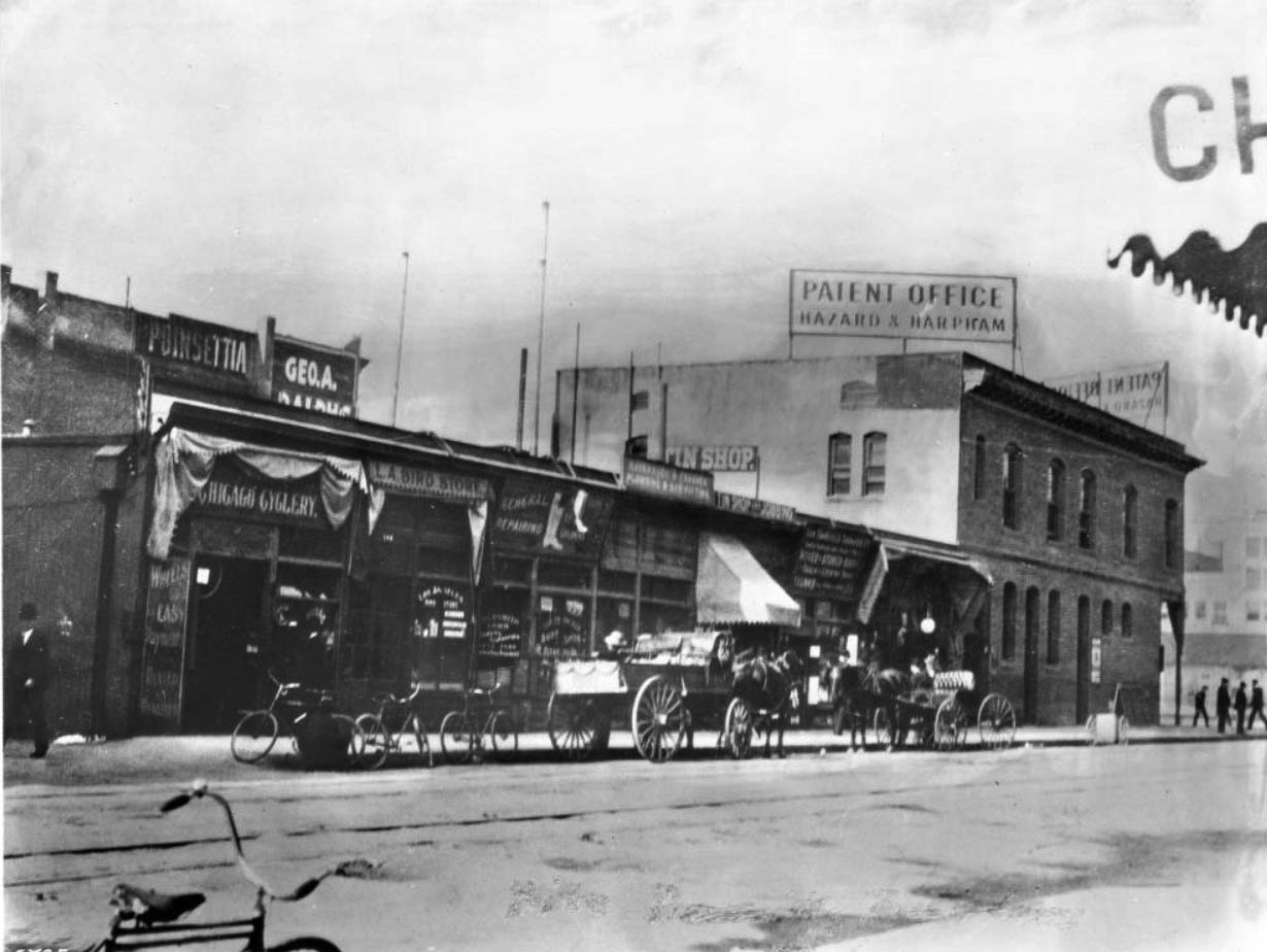 |
|
| (ca. 1905)* - View looking west on Fifth Street toward Spring Street, showing the same corner as the previous photograph from a different angle. A short row of one-story storefronts ends at the two-story Hazard & Harpham Patent Office building. Horse-drawn vehicles, bicycles, and neighborhood businesses capture the everyday character of downtown Los Angeles at the beginning of the twentieth century. Legible signs include "Poinsettia," "Chicago Cyclery," "Geo. A. Ralphs," "L.A. Bird Store," "Wheels Sold on Easy Payments and Repaired," "General Repairing," "Boot and Shoe," and "Tin Shop and Jobbing." |
Historical Notes This streetscape preserves a downtown that was about to disappear. Bicycle shops reflected the popularity of cycling before the automobile came to dominate city streets, while small specialty businesses served a growing population on foot, horseback, bicycle, and streetcar. Within only a few decades, nearly every low-rise building visible here would give way to larger office buildings as Spring Street became known as the "Wall Street of the West." For Hazard & Harpham, the timing was ideal. As Los Angeles entered a period of extraordinary expansion, new industries and businesses generated a steady stream of inventions requiring patent protection. The firm's move to Fifth and Spring placed it at the center of one of America's fastest-growing cities during one of the most dynamic periods in its history. |
Then and Now
 |
|
| (1904 vs. 2024)* – The northwest corner of Main and Temple streets, once home to the Downey Block and the original Hazard & Harpham Patent Office, is now occupied by the historic Spring Street Courthouse and Federal Building complex. Photo comparison by Jack Feldman. |
Historical Notes Few locations in downtown Los Angeles better illustrate the city's continual reinvention than this corner. In 1904, the Downey Block was one of the city's best-known commercial buildings, housing professional offices, shops, and the Hazard & Harpham Patent Office. Within a year, the entire block was demolished to make way for a new Federal Building and Post Office, reflecting the growing importance of Los Angeles as a regional center of government and commerce. The first Federal Building, completed in 1910, served the city for nearly three decades before it too was replaced. The present Federal Courthouse and U.S. Post Office Building, completed in 1940, remains one of downtown's finest examples of Moderne-era federal architecture. Although every building visible in the 1904 photograph has disappeared, the corner continues to serve the public more than a century later, preserving its role as one of Los Angeles' most important civic sites. |
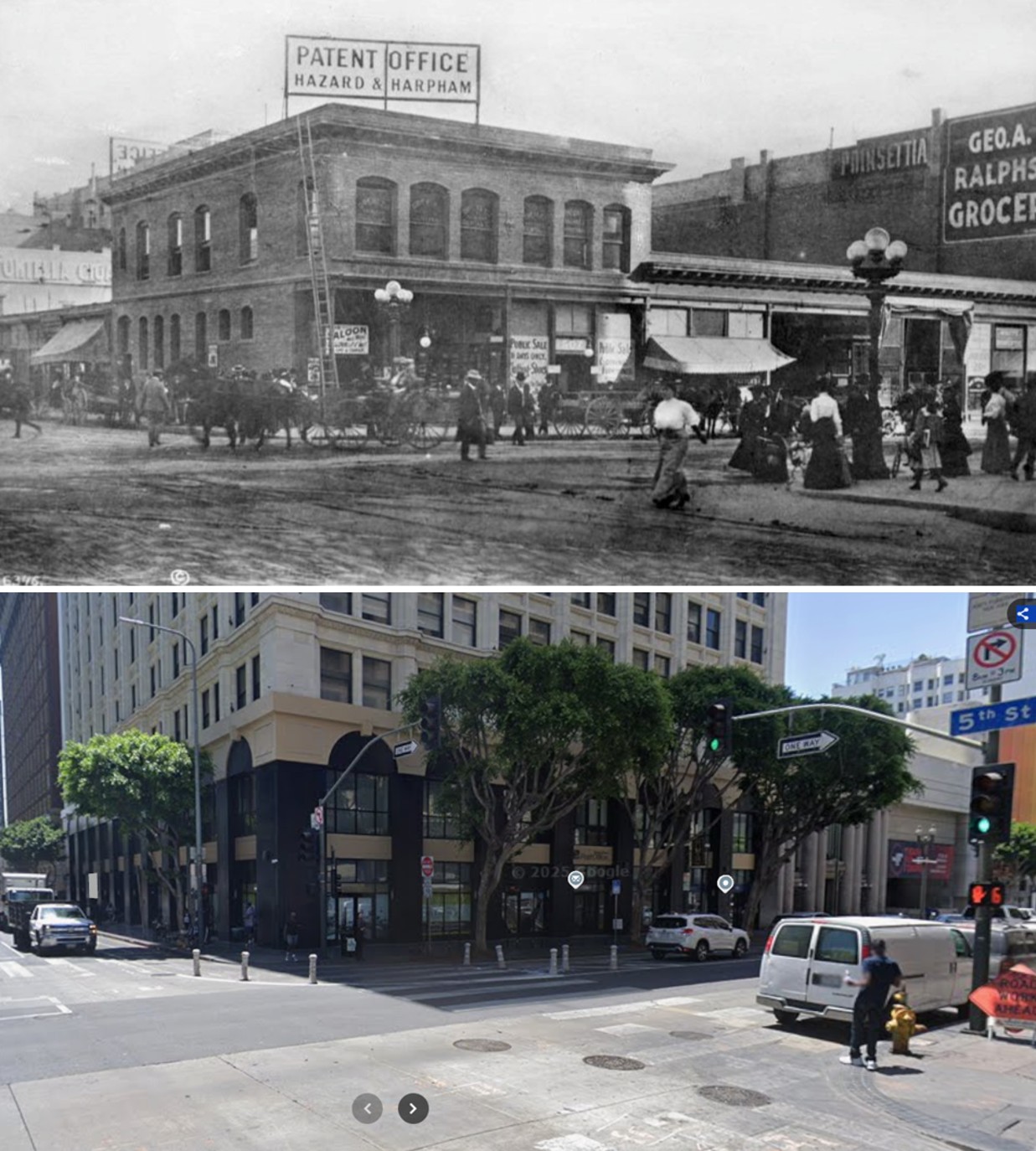 |
|
| (ca. 1905 vs. 2025)* – The southeast corner of Fifth and Spring streets. Hazard & Harpham's second office once stood here beside the George A. Ralphs Grocery Company. Today the site is occupied by a modern commercial building, reflecting the continuing evolution of downtown Los Angeles. Photo comparison by Jack Feldman. |
Historical Notes When Hazard & Harpham relocated to Fifth and Spring around 1905, they joined a business district that was rapidly becoming the financial heart of Los Angeles. Banks, law firms, retailers, and hotels transformed Spring Street into what would later become known as the "Wall Street of the West." The firm's new offices placed it in the center of the city's expanding commercial and professional community during a remarkable period of economic growth. The original two-story building has long since disappeared, replaced by larger commercial structures that reflect the continuing redevelopment of downtown. Yet the intersection remains a busy crossroads more than 120 years later. While the buildings have changed dramatically, the location continues to serve the same essential purpose as a center of business, commerce, and daily activity. |
* * * * * |
Spring and 1st Street
 |
|
| (ca. 1904)^^ - Intersection of Spring Street and First Street looking south. The Nadeau Hotel (erected 1885) is visible at right (later the site of the Times Building). Most of the buildings appear to be commercial and average four-stories high. The busy street is crowded with streetcars, horse-drawn vehicles, and pedestrians. The street cars are labeled: "Alhambra and San Gabriel, 88", "Pasadena", "Pasadena, 85", "Plaza". The large circular sign on the roof top to the right reads: "Up to date bargains, Crandall Aylsworth Company". |
 |
|
| (ca. 1905)^ - View of Spring Street at 1st, looking south, circa 1905. The Nadeau Hotel appears on the right. Spring St. was then the center of the city's financial activities. Electric cable cars can be seen in photo. |
Historical Notes In 1882, Remi Nadeau built the Nadeau Hotel on the SW corner of 1st and Spring streets. It was Los Angeles's first four-story structure and the first building with an elevator. The hotel was designed by Morgan & Walls. The Nadeau Hotel stood on the southwest corner until 1932, when it was demolished to make room for the current Los Angeles Times Building. |
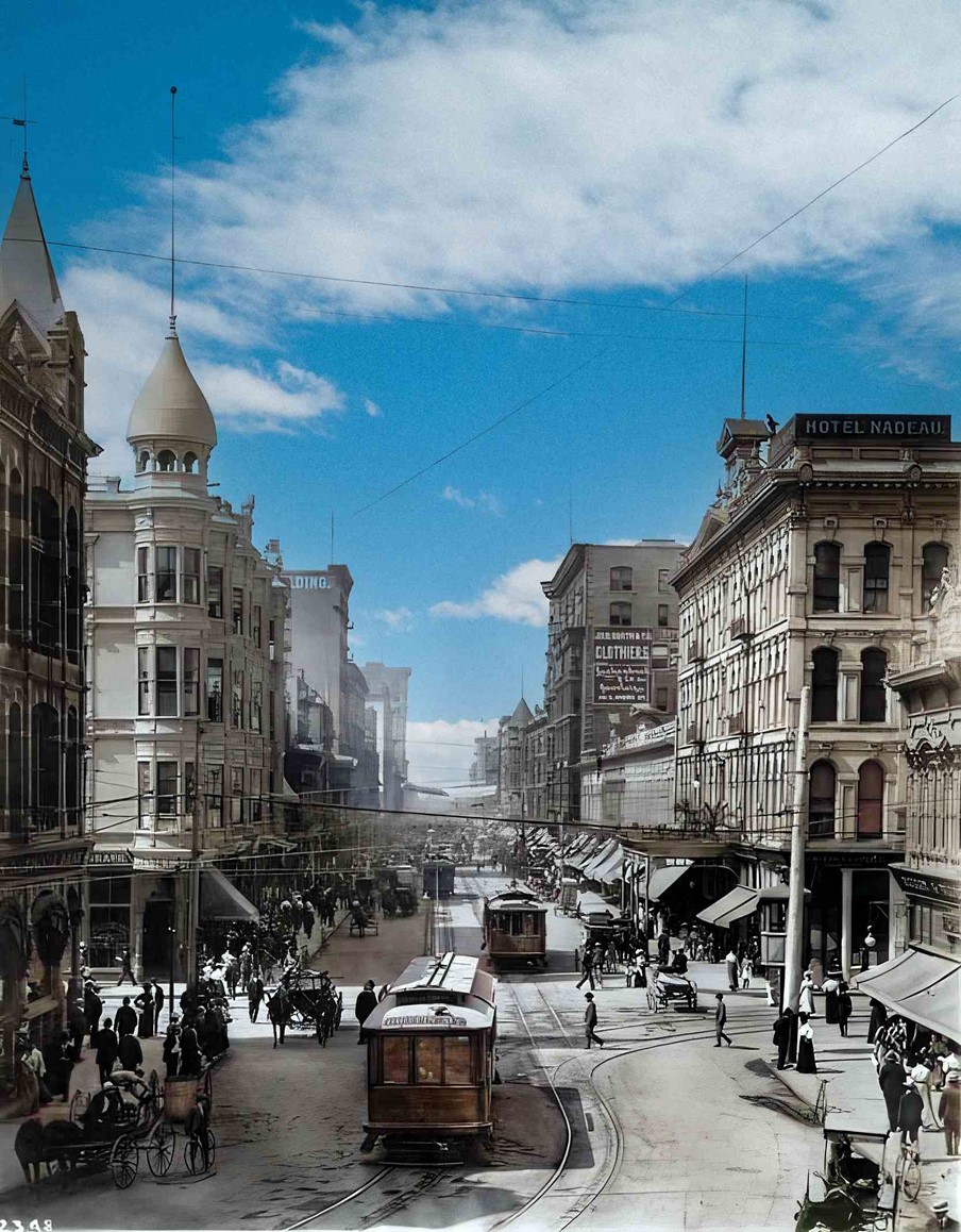 |
|
| (ca. 1905)^ - View of Spring Street at 1st, looking south with the Nadeau Hotel on the right (SW) corner. AI image enhancement and colorization by Richard Holoff |
* * * * * |
Spring and 3rd Street
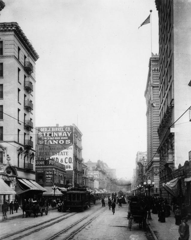 |
|
| (1905)^ - View of Spring Street looking north toward between 4th and 3rd Streets. A large number of pedestrians are on the sidewalk, and in the street are bicyclists, carriages and trolleys, one of which is marked "University." On the left is the George J. Birkel Co., selling Steinway Pianos. Other businesses include a store selling furs, rugs and game heads. Tall office buildings are on either side of the street, including the Braly Building and the Hellman Building at right. |
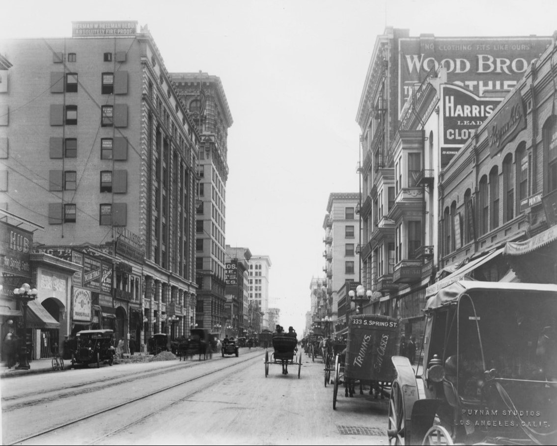 |
|
| (ca. 1904)* – View looking south on the 300 block of Spring Street with the Hellman Building seen on the left (NE corner of Spring and 4th). Horse-drawn carriages share the street with early model cars. |
* * * * * |
Spring and 4th Street
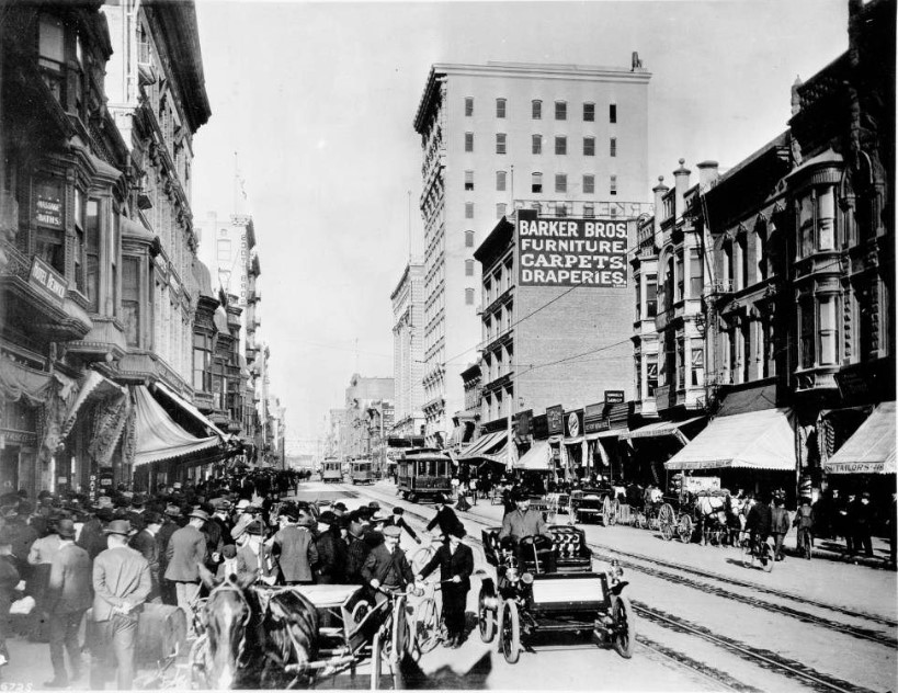 |
|
| (ca. 1905)^ - View of a very crowded Spring Street looking north from 4th Street near Barker Bros. Flat-faced commercial highrise buildings are packed closely together on the side of the street. Businesses include Barker Brothers which boasts "Furniture, Carpets, Draperies", Kunnel's Lunch, the Hotel Berwick, a bath and massage house, the Scott Brothers Building, and the Great Western Market. |
 |
|
| (ca. 1905)^^ - Closer view of previous photo shows a man with a moustache driving an early topless automobile while men stand next to him walking their bicycles. Horse-drawn carriages are visible parked along the sidewalk in the background while a streetcar makes its way up the street from the distance. |
* * * * * |
Hill and 7th Streets
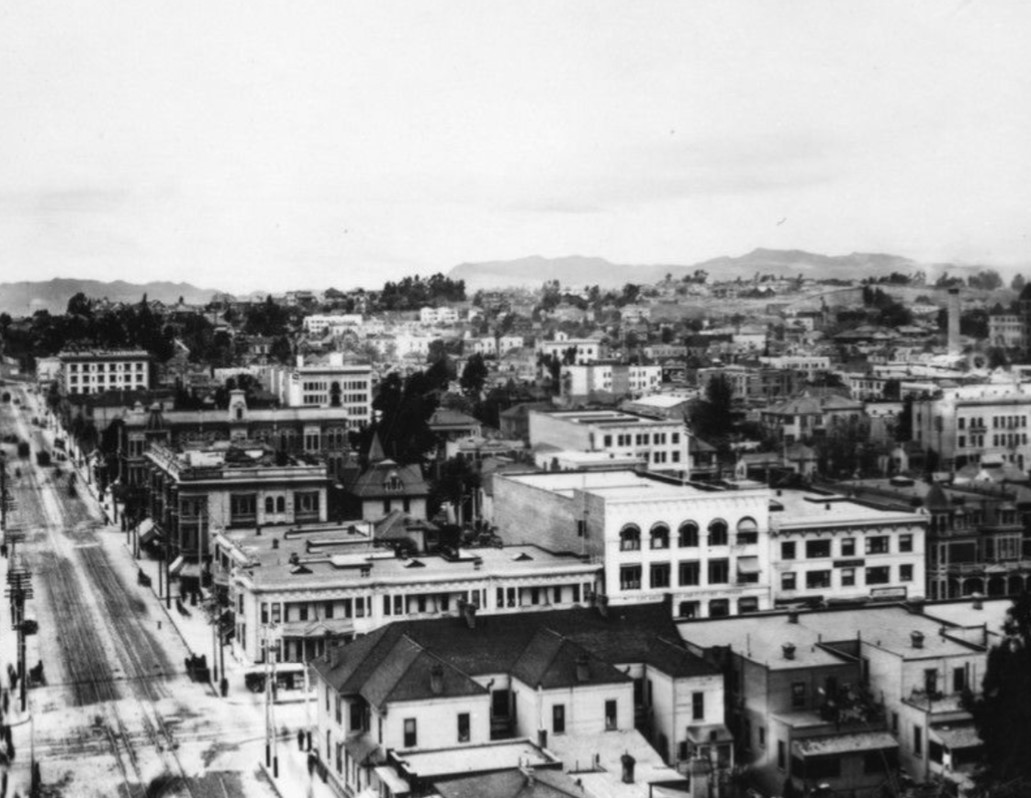 |
|
| (1905)* - Looking west on Hill Street at 7th Street in DTLA. The tall white building (center-right) that has arched windows and is wedged between two others is the Los Angeles Gas and Electric Company building located at 645 S. Hill Street. The original Hotel Biltmore can also be seen here (center-left). It’s the two-toned building located on the NE corner of Olive and 7th streets. |
Historical Notes The original Baltimore Hotel seen above, the two-toned building with the conical tower located on the NE corner of Olive and 7th streets, would become the future site of the Los Angeles Athletic Club (built in 1911, occupied in 1912). The new Hotel Baltimore was built at 5th and Los Angeles Streets in 1910. |
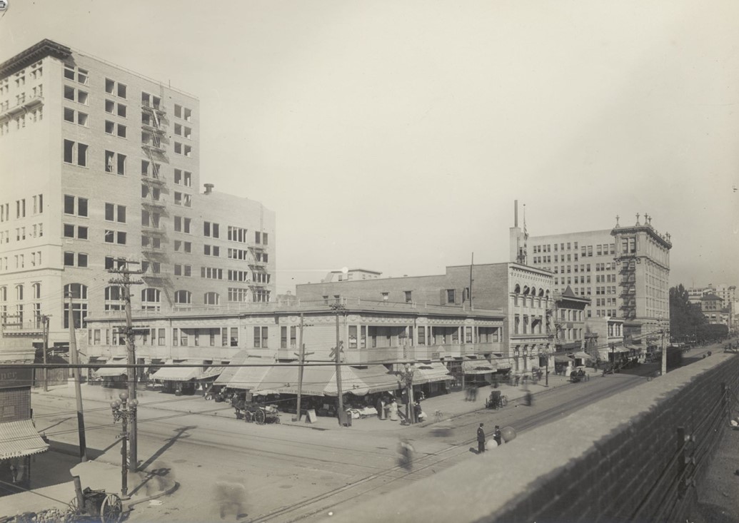 |
|
| (ca. 1911)* - Elevated view looking at the NW corner of S. Hill Street at 7th Street showing a two-story building at center, awnings over open market of stores and shops, three story Los Angeles Gas and Electric Company at 645 S. Hill St. right of market; multi-story building at left is the 1911-built Los Angeles Athletic Club (LAAC), built on the site of the original Hotel Biltmore. |
Historical Notes In 1912, the LAAC moved into its current 12-story Beaux-Arts clubhouse (seen above), designed by architects John Parkinson and George Bergstrom. This building was the first in Southern California to have an interior swimming pool on an upper floor. Click HERE to see more early views of the Los Angeles Athletic Club. |
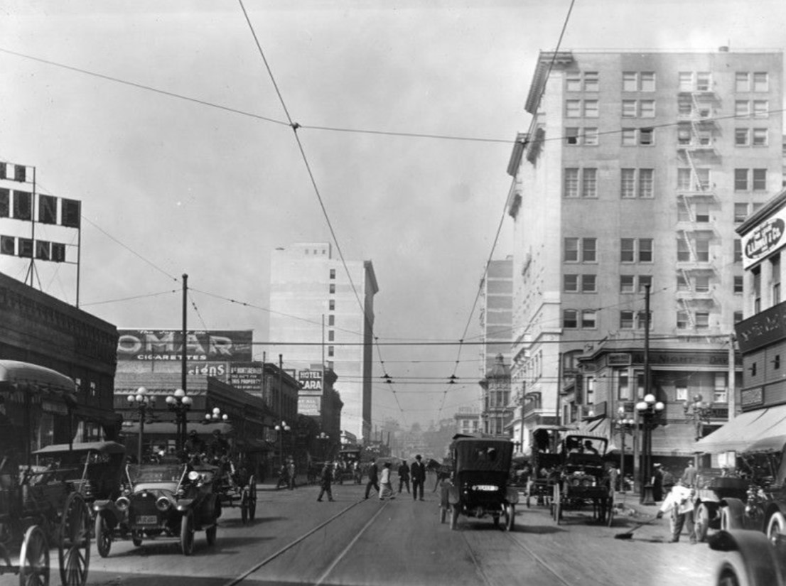 |
|
| (1912)* - Looking west on 7th Street from near Hill Street. The L.A. Athletic Club is the large building on the right. In the foreground from the club appears a sign identifying the "Seventh and Hill St. Branch" of All Night and Day Dentist. |
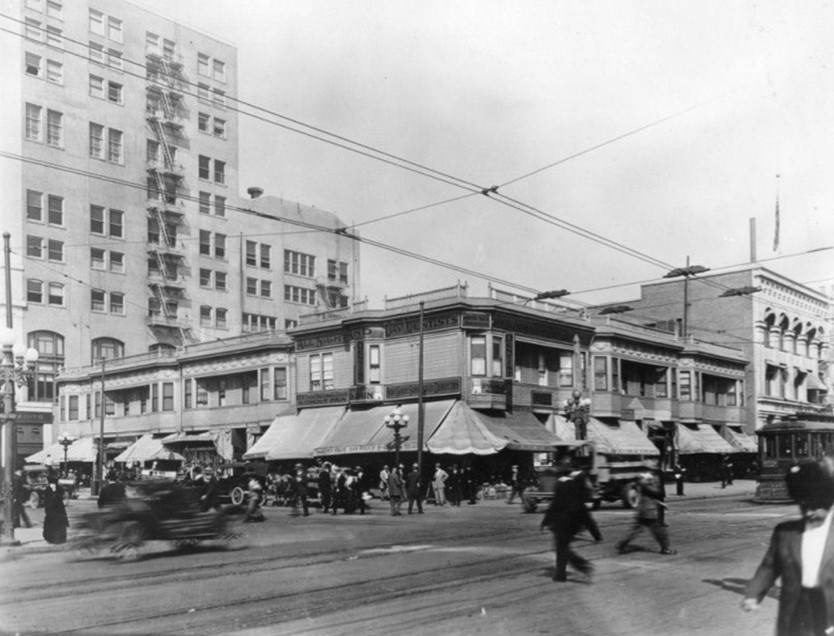 |
|
| (ca. 1912)* - Street view looking at the NW corner of 7th Street at Hill Street. The Los Angeles Athletic Club is the large white building on the left. In the middle of the photo is a dental building identified as the Seventh-Hill St. branch of the All Night and Day Dentists. Other signs read, "Teeth treated, filled, crowned and extracted without pain", "Absolutely no pain", "High grade guaranteed dentistry", and "Latest painless method". Below the dental offices, a small shop sells candies, fruit and .05 cent cigars. On the extreme right, behind a trolley, the Los Angeles Gas and Electric Co. can be seen with Old Glory on its roof. |
* * * * * |
Los Angeles Gas and Electric Corporation |
645 South Hill Street |
During the early twentieth century, few companies had a greater impact on daily life in Los Angeles than the Los Angeles Gas and Electric Corporation (LAG&E). As the city grew from a regional town into a major metropolis, the company helped power that transformation by supplying electricity and manufactured gas to homes, businesses, factories, and street lighting systems. Its linemen, service crews, and emergency vehicles became familiar sights throughout the city as they worked around the clock to maintain the expanding network of wires, gas mains, and other utility infrastructure.LAG&E traced its origins to the Los Angeles Electric Company, founded in 1882, one of the city's earliest electric utilities. In 1909, following a merger under Pacific Lighting Corporation, it became the Los Angeles Gas and Electric Corporation. For nearly three decades, LAG&E competed with the City of Los Angeles Bureau of Power and Light and Southern California Edison, each serving different parts of the rapidly growing city. The company's headquarters stood on Hill Street south of Sixth Street, including the offices at 645 South Hill Street shown in the photographs below, before moving to a new headquarters on Flower Street in 1924. In December 1936, Los Angeles voters approved bonds allowing the Bureau of Power and Light to purchase LAG&E's electric system. The transfer was completed in January 1937, helping create a unified municipal electric utility that later became part of today's Los Angeles Department of Water and Power (LADWP). The company's gas operations continued separately and eventually became part of today's Southern California Gas Company. |
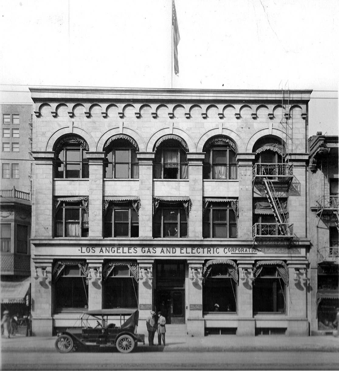 |
|
| (ca. 1922)* - Two men stand beside an early automobile in front of the Los Angeles Gas and Electric Corporation offices at 645 South Hill Street, located just north of Seventh Street. The company occupied this downtown location before moving its headquarters to a new building on Flower Street in 1924. |
Historical Notes The building at 645 South Hill Street served as one of LAG&E's principal operating centers during the early 1920s. From here, company personnel managed the expanding electric and gas systems while coordinating the utility crews that maintained service throughout the city. As Los Angeles experienced unprecedented growth, LAG&E continually expanded its network of power lines, gas mains, substations, and related facilities to meet the city's increasing demand for energy. In 1924, LAG&E relocated its headquarters to a larger and more modern office building on Flower Street between Eighth and Ninth streets, designed by the prominent architectural firm of Parkinson and Parkinson. Just over a decade later, the company's electric system was acquired by the Bureau of Power and Light. Along with generating plants, substations, transmission and distribution lines, the city also gained approximately 800 experienced utility employees whose knowledge helped ensure a smooth transition to a single municipal electric system serving Los Angeles. |
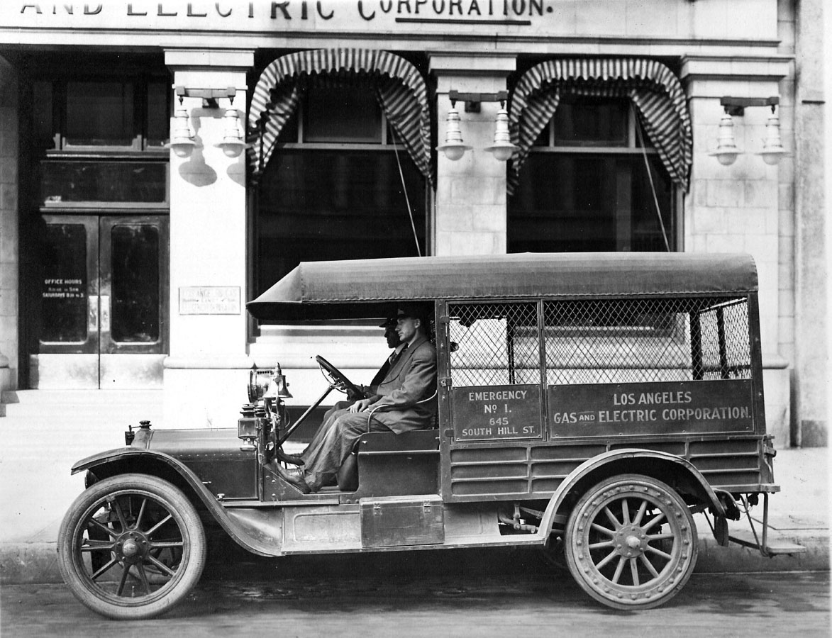 |
|
| (ca. 1922)* - Two employees sit in Los Angeles Gas and Electric Corporation's "Emergency Vehicle No. 1" outside the company's offices at 645 South Hill Street. The lettering on the truck identifies both the vehicle and its home base. |
Historical Notes Vehicles like this were dispatched day and night to respond to power outages, damaged electrical equipment, gas leaks, storm damage, and other emergencies throughout LAG&E's service territory. Long before modern dispatch systems, emergency reports were received by the company and communicated to field crews, who worked to restore electric and gas service as quickly as possible. This photograph captures the everyday work of the utility employees who helped power Los Angeles during one of the city's greatest periods of growth. When LAG&E's electric operations became part of the municipal utility in 1937, many of these workers continued performing the same essential duties under the Bureau of Power and Light, preserving valuable experience while helping build the foundation of today's Los Angeles Department of Water and Power. Click HERE to see more on the Los Angeles Gas and Electric Corporation. |
* * * * * |
Boylston Street
 |
|
| (ca. 1900)* - View of Second Street looking east toward Boylston Street showing the Edison Electric Company Steam Plant No. 1. A man with a horse-drawn tanker wagon is making his way away from the camera along the unpaved road, with the Edison Electric power house behind a picket fence to his left. |
Historical Notes Between 1897 and 1906 the power house was in use as Edison Electric Company Steam Plant No. 1. This was Edison's first power plant located in the City of Los Angeles. |
 |
|
| (ca. 1906)* - View showing the 'old' Edison Electric Steam Plan No. 1 located on the northwest corner of 2nd and Boylston streets. The auxiliary buildings with clapboard veneers and smokestacks that once were attached to the corner brick building have been removed.The two-story brick utility building now stands next to a cleared lot in front of an unpaved road in which streetcar rails can be seen, surrounded by utility poles. |
Historical Notes At the time of this photo the brick building at the corner of 2nd and Boylston streets, once part of Edison Electric Steam Plant No. 1, was no longer being used as a power plant. It now was serving as an Edison Electrical Sub-Station. In 1909, Los Angeles Edsion Electric changed its name to Southern California Edison (SCE). |
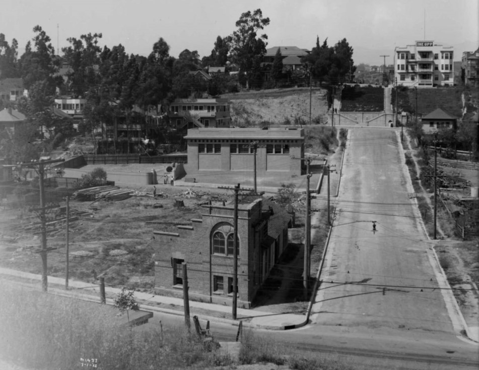 |
|
| (1912)* – View looking north on Boylston Street from above 2nd Street. The 'old' Edison Steam Plant No. 1, later converted to a Sub-Station, is on the N/W corner. A newer, more modern Sub-Station stands a couple hundred feet behind the old one at center of photo. The hill in the background is filled with apartment buildings and homes. Today this same hill is occupied by Belmont High School. |
Historical Notes Over the years the Boylston facility has been used by the West Side Lighting Company, Los Angeles Edison Electric, Southern California Edison, and the Los Angeles Department of Water and Power, which has occupied the site since 1940. Click HERE to see more in Early Boylston Street Yard. |
* * * * * |
Los Angeles City Oil Field |
Long before Los Angeles became identified with motion pictures, automobiles, and aerospace, oil helped transform it into one of America's fastest growing cities. During the 1890s, hundreds of wooden derricks rose across the hills northwest of downtown, often standing beside homes, schools, streets, and small businesses.The boom began in November 1892, when former mining prospectors Edward L. Doheny and Charles A. Canfield began digging a hand dug well near present day Glendale Boulevard and Second Street. Working with little more than hand tools and a sharpened eucalyptus log used as an improvised drilling hammer, they struck oil after deepening their shaft beyond 155 feet. The initial flow was only about seven barrels a day, but the completed well eventually reached a depth of about 225 feet and produced roughly 40 barrels a day, proving that the area contained a valuable petroleum reservoir and launching Southern California's first great oil boom.The Los Angeles City Oil Field extended from immediately south of today's Dodger Stadium west toward Vermont Avenue, forming a narrow strip about four miles long and a quarter mile wide. Although small scale oil production had begun here as early as 1890, Doheny's successful well sparked an extraordinary rush. Within only a few years, hundreds of derricks filled hillsides, vacant lots, and even residential neighborhoods. By 1895, the field accounted for more than half of California's oil production, and during its peak year of 1901, approximately 200 separate oil companies were operating here.The wealth generated by the Los Angeles City Oil Field helped finance the city's rapid growth and encouraged petroleum exploration throughout Southern California. Doheny himself became one of the wealthiest oil men in America. Today, the field lies almost entirely beneath dense residential and commercial development, and the photographs on this page preserve one of the most remarkable landscapes in Los Angeles history, a landscape that has all but vanished from view. |
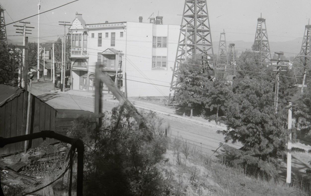 |
|
| (1905)* -View across the central portion of the Los Angeles City Oil Field from the top of an oil storage tank at the northwest corner of First Street and Lake Shore Avenue (today's Glendale Boulevard and Beverly Boulevard). A prominent two story commercial building appears to stand across the intersection, while the sign of the Belmont Grocery Market is visible farther up the street. The blurred diagonal member in the foreground is believed to be the moving walking beam of an operating pumping well, captured in motion during the exposure. |
Historical Notes This photograph looks across the central portion of the Los Angeles City Oil Field, where Edward Doheny's famous 1892 discovery sparked Southern California's first great oil boom. The intersection of First Street and Lake Shore Avenue lay near the heart of the original producing district, only a short distance south of Echo Park. Oil wells were drilled wherever space could be found, often on ordinary residential lots only a few feet from homes and neighboring wells. With virtually no regulations governing well spacing, operators raced to reach the underground reservoir before nearby wells drained it away. The result was a crowded landscape of derricks, storage tanks, pipelines, and drilling equipment unlike anything else in Los Angeles. Commercial buildings, utility lines, and active oil wells occupied the same neighborhood, illustrating how completely petroleum production became woven into everyday city life. While the boom brought tremendous wealth and helped fuel the city's expansion, it also filled surrounding neighborhoods with constant noise, smoke, oil odors, and the ever present risk of fire. The photograph was taken by geologist Ralph Arnold, who was documenting Southern California's oil fields during his work for the United States Geological Survey. Preserved as Lantern Slide No. 231 in the Ralph Arnold Photograph and Map Collection at The Huntington Library, it provides an unusually detailed record of the Los Angeles City Oil Field during its most productive years. |
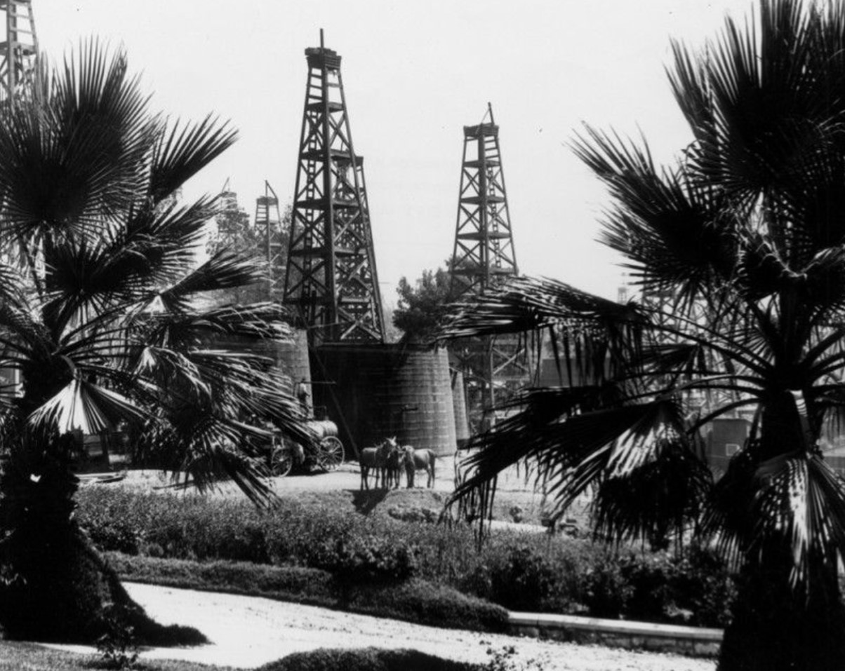 |
|
| (ca. 1890s)* - View looking east from the corner of First Street and Belmont Avenue across the Los Angeles City Oil Field. |
Historical Notes Commercial oil production began here in 1890, but it was Edward Doheny's successful well in 1892 that made the field famous and launched California's first major urban oil boom. By 1895, the Los Angeles City Oil Field was producing more than half of the state's petroleum, making it the leading oil field in California. Because the oil lay beneath hundreds of small city lots, nearly anyone with sufficient resources could drill a well. Landowners competed to reach the underground reservoir before their neighbors, producing one of the most densely drilled oil fields in the nation. Today, the hills once crowded with derricks have disappeared beneath homes, apartment buildings, businesses, and city streets, leaving few visible reminders of the remarkable industry that once dominated the landscape. |
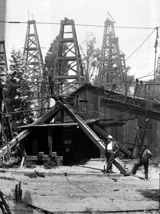 |
|
| (1904)* – Two men stand beside an oil derrick at Court and Toluca streets, with numerous oil wells visible in the background. Click HERE to see a Google map view of the above location. |
Historical Notes The neighborhood around Court and Toluca streets became one of the best known sections of Los Angeles' first oil district. By 1904, hundreds of closely spaced derricks covered the surrounding hillsides, many standing only a short distance apart. Early drilling required relatively simple equipment, allowing individuals and small companies to compete alongside larger operators. Fortunes could be made or lost almost overnight, and oil stock speculation quickly became one of the city's hottest investments. Among the field's most successful operators was Emma Summers, later known as California's "Petroleum Queen." Beginning with a single investment, she gradually acquired numerous producing wells and became one of Southern California's most successful independent oil producers. |
.jpg) |
|
| (1906)* - Map of the Los Angeles City Oil Field showing producing and non producing wells west of downtown. Solid circles represent producing wells; open circles represent non producing wells. (Source: Library of Congress) |
Historical Notes This map captures the field near the end of its most productive era. The concentration of wells illustrates the intense competition among operators, many of whom drilled only a few yards from neighboring wells in an effort to reach the underground reservoir first. Approximately 1,250 wells were drilled during the life of the Los Angeles City Oil Field. By the time this map was prepared, many of the shallow wells that fueled the boom of the 1890s had already stopped producing. The fortunes earned here financed further exploration across Southern California. Doheny himself opened the Olinda Oil Field near Brea in 1897, and in the decades that followed, discoveries at Huntington Beach, Signal Hill, Santa Fe Springs, and Wilmington would eventually far surpass the original Los Angeles City Oil Field in production. |
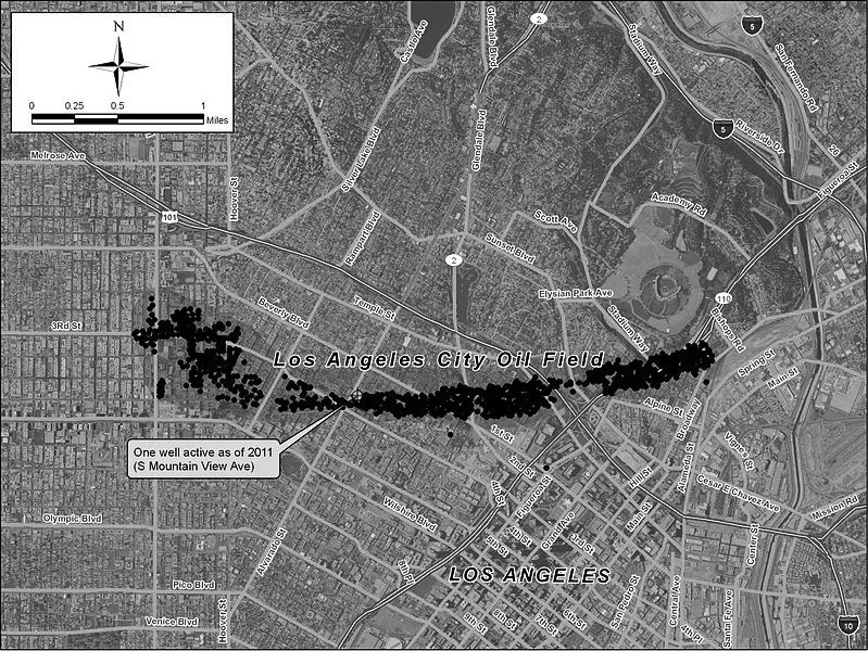 |
|
| (2011)* - Detail of the Los Angeles City Field, showing locations of former wells, and single active well remaining in 2011. |
Historical Notes By the time this map was created, nearly all visible traces of the Los Angeles City Oil Field had disappeared beneath modern development. The hundreds of wells that once filled these hills had long since been capped, buried, or removed. Although the derricks vanished decades ago, many abandoned well casings remain underground. Modern construction projects within former oil producing areas often require special engineering measures to manage naturally occurring methane and other gases that may migrate through old well bores. The map serves as a reminder that one of California's earliest and most important oil fields still lies hidden beneath the neighborhoods of Echo Park, Westlake, and the western edge of downtown Los Angeles. |
Before and After
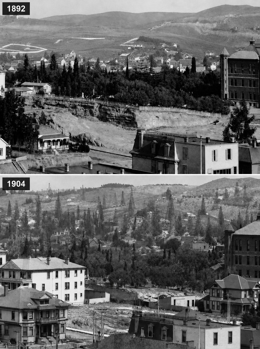 |
|
| (1892* vs. 1904*)– Views looking northwest from the Los Angeles County Courthouse showing how dramatically the landscape changed during the oil boom that followed Edward Doheny's successful 1892 well. Los Angeles High School is visible at right. Photo comparison by Jack Feldman. |
Historical Notes Few photograph pairs better illustrate the rapid development of Los Angeles' first oil boom. Taken just twelve years apart from nearly the same viewpoint, these photographs show how open hillsides northwest of downtown gave way to hundreds of oil derricks following Edward Doheny's 1892 oil discovery. The large building at right is Los Angeles High School, completed in 1891 on Fort Moore Hill, overlooking the rapidly expanding oil district below. For thousands of students, oil derricks became part of the everyday view from the school's classrooms and grounds. As production declined during the early twentieth century, the derricks gradually disappeared and the neighborhoods were redeveloped. Today, homes, businesses, schools, freeways, and city streets occupy the same hillsides, leaving almost no visible evidence of the remarkable oil boom that helped shape modern Los Angeles. Click HERE to see more on the Los Angeles Oil Boom of the 1890s |
* * * * * |
Downtown Los Angeles in 1905 |
By 1905, Los Angeles was in the midst of one of the fastest periods of growth in its history. New commercial buildings, hotels, theaters, and businesses were rising throughout downtown as the city expanded beyond its nineteenth-century origins. Although electric streetcars served many neighborhoods, much of downtown still had unpaved streets, and horse-drawn vehicles shared the roads with the first automobiles.These photographs capture everyday scenes from the city's commercial center during this transitional period. Looking south along Hill, Main, Olive, and Fifth streets, they show a downtown where Victorian buildings stood beside new construction, utility lines spread across the city, and parks, hotels, churches, and businesses defined the evolving skyline.Together, these views document Los Angeles at the beginning of the twentieth century, when modern transportation, new architecture, and rapid population growth were transforming a regional town into one of America's major cities. |
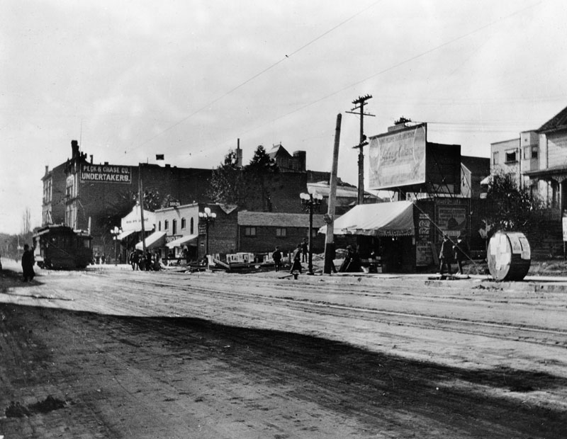 |
|
| (1905)^ - A large, wooden cable wheel plastered with posters stands at the ready on Hill St. looking south from 4th. To the left, a streetcar passes in front of a dance club. The sign on the building behind is for "Peck & Chase Co., Undertakers". Although tracks for the streetcars are laid, the street is unpaved. |
Historical Notes This view illustrates the unfinished appearance of many downtown streets in 1905. Although electric streetcars had become an essential part of daily transportation, paved streets had not yet reached every part of the city. Businesses such as Peck & Chase, one of Los Angeles' best-known undertaking firms, occupied prominent downtown locations alongside theaters, dance halls, and retail stores. |
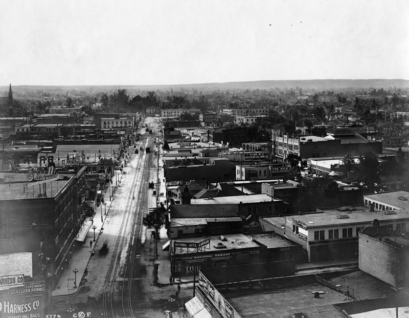 |
|
| (1905)^ - Panoramic view of Main Street, looking south from 7th Street. At left is the Hotel Faremont, next to which is Overall's, Brent's, followed by a hardware, Hunger's Laundry, a sign shop, and Hotel Cadillac. At right is National Auto. Garage, a real estate office and other buildings. Southern California Wine Co. store no. 2 is seen on Spring Street, angling in at right, which joins Main in the distance. |
Historical Notes At the turn of the twentieth century, Main Street remained one of Los Angeles' busiest commercial corridors. Hotels, laundries, hardware stores, garages, and countless small businesses served both local residents and the growing number of visitors arriving by rail. Within a few years, much of the city's retail and financial activity would continue shifting west toward Spring, Broadway, and Hill streets. |
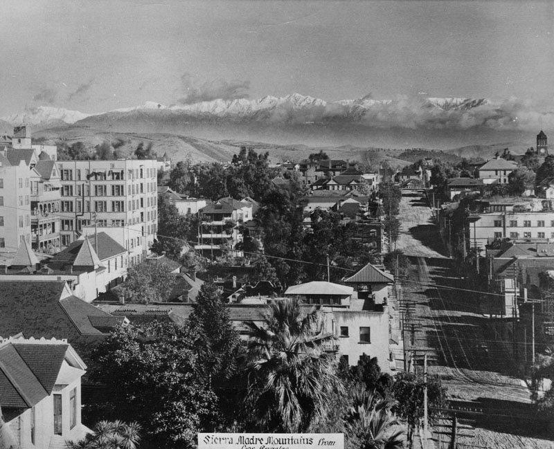 |
|
| (ca. 1905)^ - View from the 200 block of South Olive St. on Bunker Hill looking northeast towards Sierra Madre and the snow-capped San Gabriel Mountains. Although the background hills have few trees, the city is a forest with palms, evergreen, and deciduous trees interspersed among the buildings. The long building behind the palm fronds (foreground) is the Mission Hotel/Apartments on the southwest corner of 2nd St. and Olive. The two larger structures, left, are rear views of the Richelieu and Melrose hotels on Grand Avenue. The Los Angeles High Schooltower is on the far right at the top of the picture. Although utility lines are in, the streets are still unpaved. |
Historical Notes One of the most striking features of early Los Angeles was the contrast between urban development and the surrounding landscape. Even from Bunker Hill, snow-covered peaks of the San Gabriel Mountains were often visible during winter. The view also reveals the city's extensive tree canopy, which gave Los Angeles a surprisingly green appearance despite its semi-arid climate. |
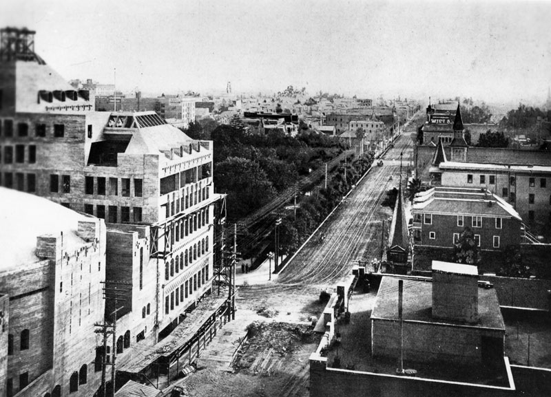 |
|
| (1905)^ - Panoramic view of 5th and Olive Streets, looking south in 1905. Central Park (later Pershing Square) is seen, and there are churches at right. At left the Auditorium Building is under construction. |
Historical Notes This panorama captures a rapidly changing civic center. Central Park, later renamed Pershing Square, served as the city's principal public gathering place, while the Auditorium Building rising at left reflected Los Angeles' continuing commercial and cultural expansion. Construction projects like this became increasingly common as downtown grew to accommodate a booming population. |
* * * * * |
Rambler Bicycles and Automobiles |
During the first decade of the twentieth century, downtown Los Angeles stood at the crossroads of two transportation eras. Bicycles, horse drawn wagons, electric streetcars, and the first automobiles all shared the city's busy streets. Few businesses better illustrate that transition than Rambler Bicycles on West 5th Street, where one of America's leading bicycle manufacturers expanded into the emerging automobile market. These photographs trace the evolution of the site from a modest bicycle and automobile showroom in 1905 to one of Spring Street's landmark financial buildings, now known as Spring Arts Tower. |
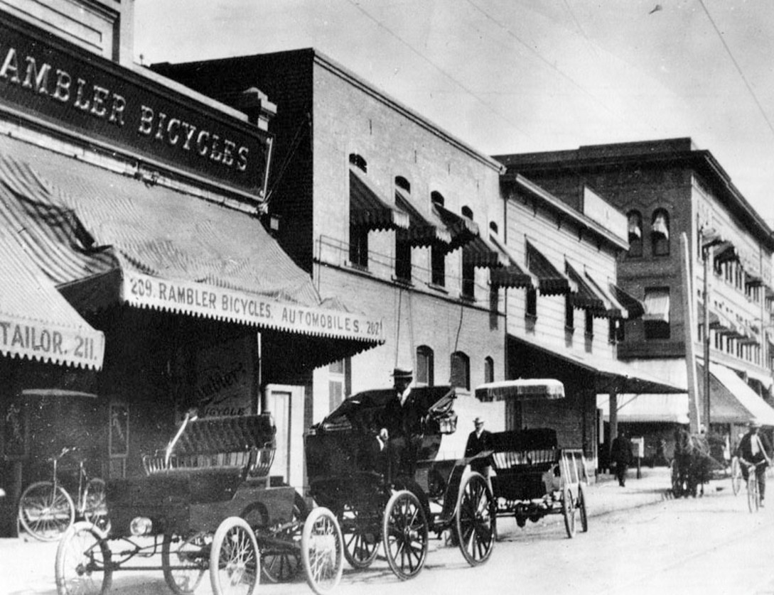 |
|
| (1905)* - Three early automobiles are parked outside Rambler Bicycles at 207-209 West 5th Street just west of Spring Street. The storefront advertised both Rambler bicycles and automobiles during Los Angeles' early transition from bicycle to motor vehicle transportation. |
Historical Notes This photograph, cataloged by the Los Angeles Public Library as Cars in Front of Bicycle Store, was taken in 1905 and shows the Rambler Bicycles storefront at 207-209 West 5th Street near Spring Street in downtown Los Angeles. At first glance, the scene appears to be an ordinary commercial block, but it captures a pivotal moment in the city's transportation history. Parked along the curb are several early automobiles, while bicycles, pedestrians, horse drawn vehicles, and electric streetcars all shared the same streets. The Rambler name originated with the Gormully & Jeffery Manufacturing Company of Chicago, one of America's largest bicycle manufacturers during the 1890s. Company founder Thomas B. Jeffery introduced the first Rambler automobile in 1897, and by 1902 Rambler automobiles were being produced on an assembly line, making the company one of America's earliest mass producers of automobiles, several years before Ford introduced the Model T. The transition from bicycles to automobiles was a natural one. Bicycle dealers already possessed the mechanical expertise, repair facilities, and customer base needed to sell and service the new machines. Throughout the country, many bicycle shops became some of the first automobile dealerships, and the Rambler showroom on West 5th Street reflects this important chapter in automotive history. Although the Rambler name later became associated with American Motors during the 1950s and 1960s, the original Rambler automobiles sold here belonged to a much earlier generation of pioneering motor vehicles. Within little more than a decade after this photograph was taken, automobiles would become the dominant form of transportation, permanently changing both the appearance and function of downtown Los Angeles. |
 |
|
| (2024)* – Looking east along the north side of 5th Street toward Spring Street. The Rambler Bicycles storefront once occupied this corner before being replaced in 1914-1915 by the Citizens National Bank Building, now known as Spring Arts Tower. |
Historical Notes Less than a decade after the 1905 photograph was taken, the low commercial buildings on this block were demolished as Spring Street emerged as the financial center of Los Angeles. Rising in their place was the twelve-story Citizens National Bank Building, completed in 1915 and designed by the prominent architectural firm of John Parkinson and George Edwin Bergstrom. Constructed with a steel frame clad in brick and terra cotta, the building featured a grand banking hall on the ground floor with offices occupying the eleven upper floors. It quickly became home to Citizens National Bank and numerous professional firms, reflecting the rapid growth of Spring Street as the city's premier financial district during the early twentieth century. Today the building is known as Spring Arts Tower. Much of its historic character has been preserved, including its marble lobby, decorative architectural details, and the massive Mosler bank vault. The former banking hall now houses The Last Bookstore, one of downtown Los Angeles' best-known cultural landmarks, demonstrating how one of the city's early financial buildings has successfully adapted to new uses while preserving its architectural heritage. |
Then and Now
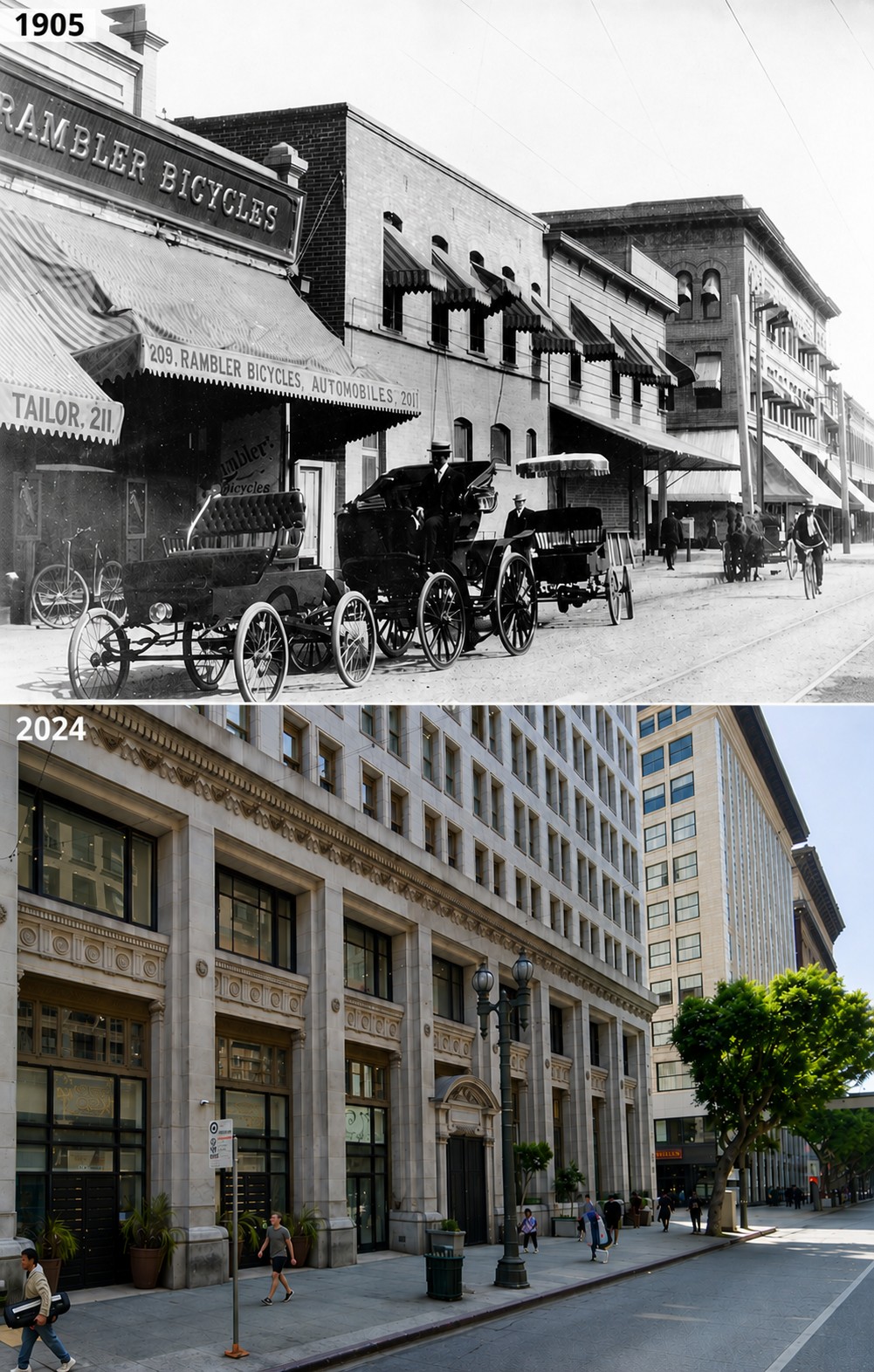 |
|
| (1905 vs 2024)* - Looking east along the north side of 5th Street toward Spring Street. The Rambler Bicycles storefront once stood just west of Spring Street. Less than a decade later, the property became part of the site assembled for construction of the Citizens National Bank Building, today known as Spring Arts Tower. Photo comparison by Jack Feldman. |
Historical Notes Few locations better illustrate the speed at which Los Angeles reinvented itself during the early twentieth century. In 1905, this stretch of West 5th Street represented the dawn of the automobile age, when bicycles, horse drawn vehicles, electric streetcars, and gasoline-powered automobiles all shared the same streets. Within a decade, the modest storefronts had disappeared, replaced by one of Spring Street's newest steel-framed office towers as downtown evolved into the city's financial and commercial center. While the streetscape has changed dramatically, both photographs capture periods of innovation that helped shape Los Angeles. The earlier image documents the arrival of a new technology that would transform everyday life, while the modern view highlights the preservation and adaptive reuse of one of downtown's landmark financial buildings. Together, they illustrate how the city has continually embraced change while preserving important reminders of its past. |
* * * * * |
Broadway in 1905 |
At the beginning of the twentieth century, Los Angeles’ commercial center was shifting south from the older business district around First and Spring streets. The construction of City Hall between Second and Third streets had helped draw development toward Broadway, while new stores, hotels, offices, and transportation lines gradually transformed what had once been a largely residential street. A major sign of that change came in 1905, when Hamburger’s announced plans for an enormous department store at Broadway and Eighth Street. Completed the following year, the Beaux Arts building became one of the largest retail establishments on the Pacific Coast and helped confirm Broadway’s growing importance as the city’s principal shopping street.Broadway was also taking on a new appearance after dark. In 1905, the city installed its first ornamental street-lighting system along the thoroughfare: 135 cast-iron electroliers, each carrying seven glass globes. The photographs in this section capture Broadway during this period of transition, when crowded sidewalks and increasingly substantial buildings stood beside a roadway shared by pedestrians, horse-drawn vehicles, electric streetcars, bicycles, and some of the city’s earliest automobiles. |
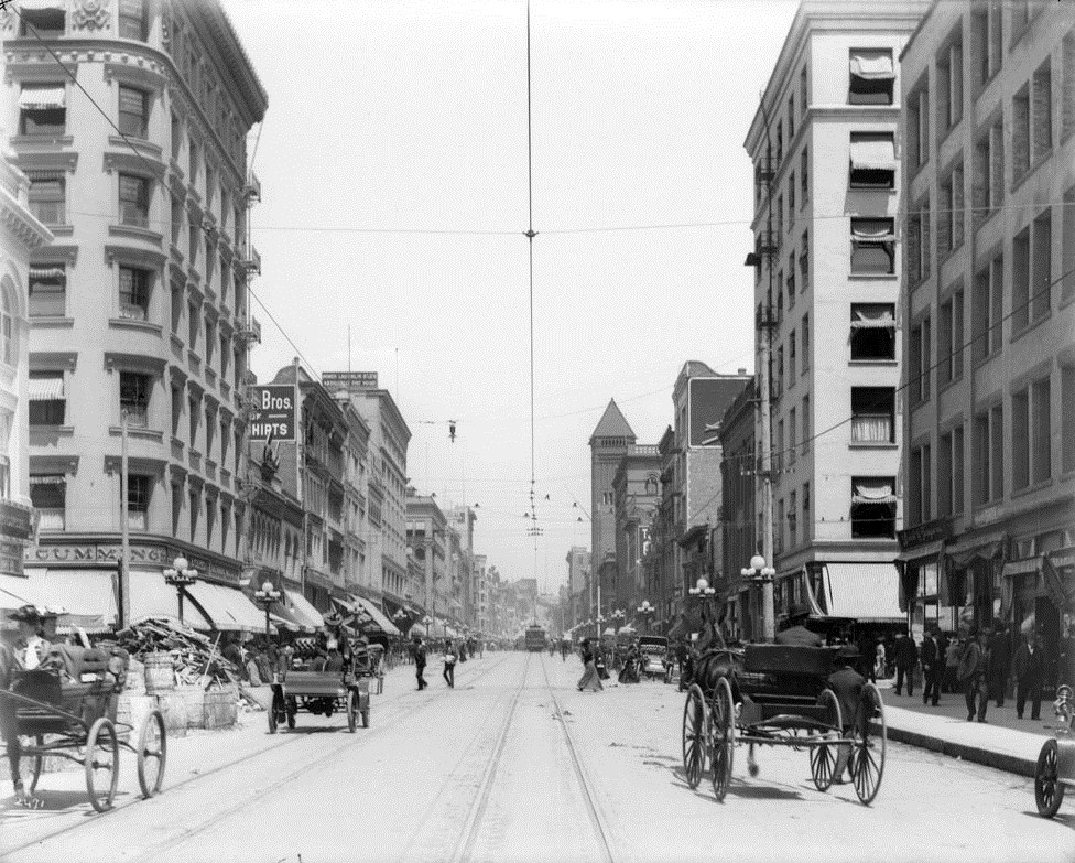 |
|
| (1905)* - Looking north on Broadway from Fourth Street. Horse-drawn carriages, pedestrians, and one of the city's earliest automobiles share the roadway beneath Broadway's recently installed seven-globe electroliers. Rising in the distance is Los Angeles' third City Hall (1888), whose tower dominated the downtown skyline for nearly four decades. |
Historical Notes By 1905, Broadway was rapidly emerging as the principal commercial street of Los Angeles. New office buildings, hotels, stores, and municipal buildings were replacing the residences that had lined much of the street only a decade earlier. The construction of the city's third City Hall between Second and Third streets helped draw business activity south from the older commercial district centered around Spring and First streets, while the announcement that Hamburger's would build its new department store at Broadway and Eighth Street signaled Broadway's growing importance as the city's premier shopping boulevard. This photograph captures Broadway during that period of transition. Horse-drawn carriages still outnumber automobiles, yet one of the city's earliest motorcars can already be seen sharing the street with traditional traffic. The recently installed seven-globe electroliers lining both sidewalks were part of Broadway's first ornamental street-lighting system, giving the boulevard a distinctive appearance after dark and helping establish Los Angeles' own version of the "Great White Way." In the distance, the tower of the 1888 City Hall served as one of downtown's most recognizable landmarks until the present City Hall replaced it in 1928. |
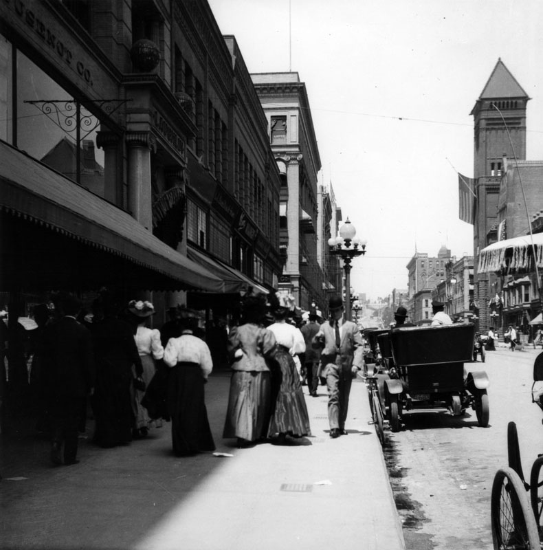 |
|
| (ca. 1905)^ - View looking south on Broadway from near Second Street, where numerous pedestrians crowd the sidewalk in front of the stores and offices lining the thoroughfare. Horse-drawn vehicles and several early automobiles are parked along the curb, while the city’s third City Hall can be seen across Broadway in the background. |
Historical Notes The busy sidewalk provides a close view of everyday life along Broadway as the street emerged as one of downtown Los Angeles’ principal commercial corridors. Men in suits and bowler hats mingle with women wearing long skirts, fitted jackets, and elaborate hats. Their formal clothing reflected the customs of the period, when even an ordinary trip downtown was generally approached with a greater degree of formality than it would be today. The mixture of horse-drawn vehicles and open automobiles parked along the curb captures another important transition taking place in Los Angeles. Horses still provided much of the city’s transportation, but motorcars were becoming increasingly visible on downtown streets. City Hall, located on the east side of Broadway between Second and Third streets, appears in the background, placing the scene near the northern end of the commercial district that would soon extend south toward the city’s major department stores and entertainment centers. |
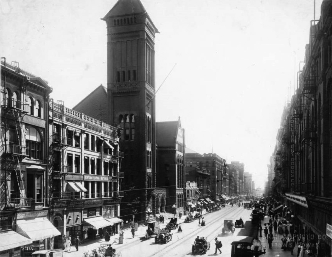 |
|
| (ca. 1905)* - Looking south on Broadway between Second and Third streets. The city's third City Hall dominates the view from its location on the east side of Broadway, while early automobiles, pedestrians, and streetcars share one of downtown Los Angeles' busiest thoroughfares. |
Historical Notes By about 1905, Broadway had become one of downtown Los Angeles' busiest streets. Streetcar tracks occupied the center of the roadway, providing frequent service through the city's growing commercial district, while pedestrians crowded the sidewalks and an increasing number of automobiles joined the horse-drawn wagons and carriages that still handled much of the city's transportation. Standing prominently across Broadway is Los Angeles' third City Hall, completed in 1888. Its distinctive clock tower dominated the downtown skyline for nearly forty years and served as the center of city government during one of Los Angeles' most significant periods of growth. Although City Hall was replaced by the present building in 1928, Broadway continued to flourish for decades afterward as the city's leading shopping, entertainment, and financial district. |
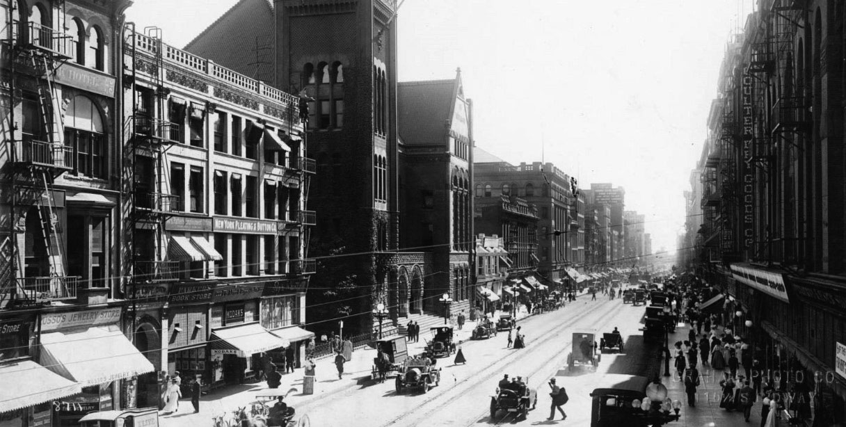 |
|
| (ca. 1905)* - Closer view looking south on Broadway between Second and Third streets. Los Angeles City Hall stands on the east side of the street, while automobiles, pedestrians, and streetcars move through the surrounding business district. The Bradbury Building can be seen farther south on the left at Third Street. |
Historical Notes This closer view reveals the variety of businesses operating along Broadway during the early twentieth century. Signs advertise jewelry, books, photography supplies, employment services, clothing alterations, dry goods, and other goods and services needed by the rapidly growing city. The mixture of small storefronts, offices, hotels, and larger commercial buildings reflects Broadway’s transformation from a largely residential street into one of downtown Los Angeles’ busiest business corridors. Farther down the east side of Broadway stands the Bradbury Building at the southeast corner of Third Street. Completed in 1893, it is one of the few structures visible in this scene that remains standing today. Although its relatively plain exterior gives little indication of what lies within, the building is best known for its skylit central court, open-cage elevators, and ornate iron stairways. Most of the surrounding buildings, including the old City Hall, were later demolished as downtown continued to grow and change. |
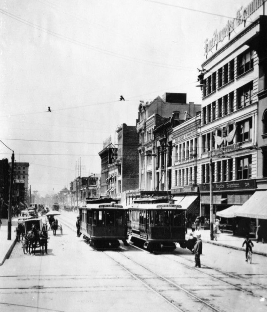 |
|
| (ca. 1905)* - Looking south on Broadway from Fifth Street, where two Pacific Electric streetcars share the roadway with horse-drawn vehicles and a bicyclist. The Los Angeles Examiner Building stands on the west side of Broadway at right. |
Historical Notes By 1905, Broadway had become an important route in Los Angeles’ expanding electric railway network. Pacific Electric streetcars traveled along the center of the thoroughfare, carrying passengers between downtown and neighborhoods throughout the growing city. Horse-drawn wagons and carriages remained common, however, while bicycles and automobiles added to the increasingly varied traffic moving through the commercial district. At right is the Los Angeles Examiner Building at 509 South Broadway. The newspaper was founded in 1903 by William Randolph Hearst and quickly became an influential voice in Southern California. Its Broadway offices placed the Examiner near the center of downtown business and transportation activity. The newspaper later moved to a larger building at Broadway and Eleventh Street, completed in 1914, as both the publication and the city continued to expand. |
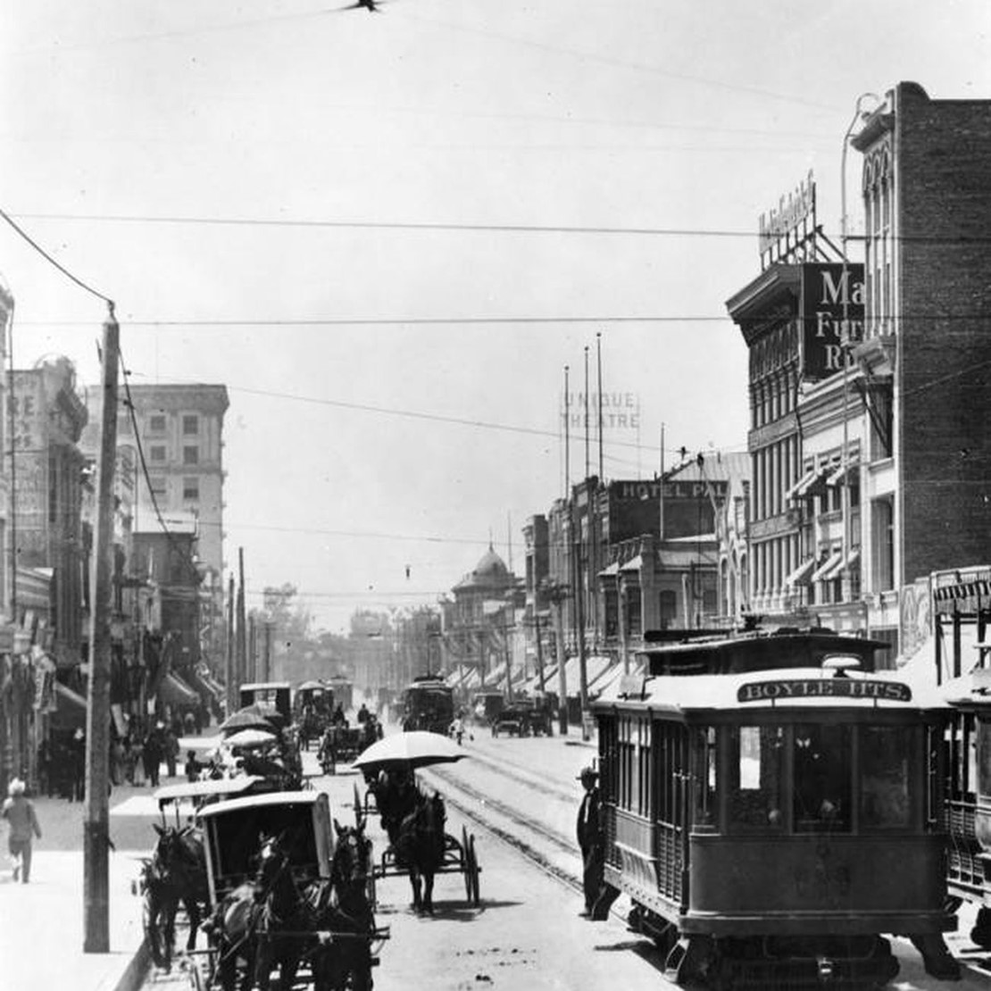 |
|
| (ca. 1905)* - Closer view looking south on Broadway from Fifth Street. A Pacific Electric streetcar bound for Boyle Heights shares the roadway with horse-drawn wagons as downtown Los Angeles entered the electric railway era. |
Historical Notes The destination sign reading "Boyle Hts." identifies one of the many Pacific Electric routes that converged on downtown Los Angeles during the early twentieth century. Founded in 1901 by Henry E. Huntington, the Pacific Electric Railway rapidly expanded into the nation's largest interurban electric railway system, eventually operating more than 1,000 miles of track throughout Southern California. Broadway served as one of its principal downtown corridors, with streetcars arriving every few minutes during the busiest hours. This close-up also illustrates the transitional nature of transportation in 1905. Electric streetcars, horse-drawn wagons, bicycles, and the first automobiles all competed for space on the same streets, requiring drivers, conductors, and pedestrians alike to adapt to an increasingly complex urban environment. Within another decade, automobiles would become far more common, but in 1905 electric railways remained the backbone of public transportation in Los Angeles. |
Then and Now
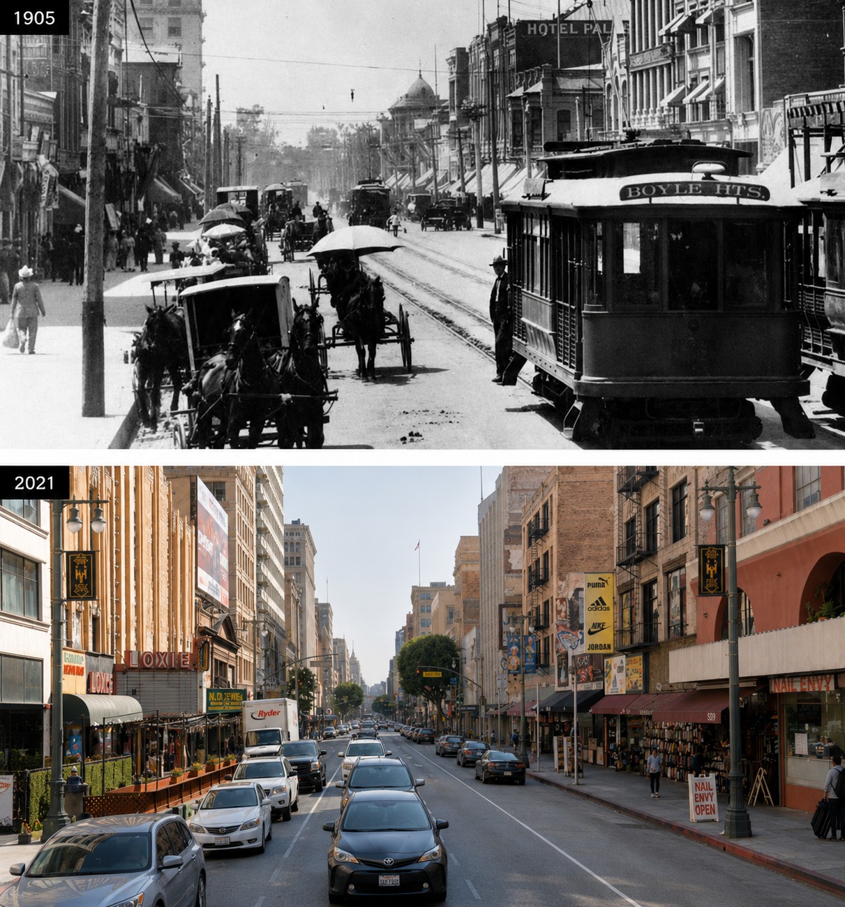 |
|
| (1905 vs, 2021)* - Looking south on Broadway from near Fifth Street. The comparison shows the transformation of one of downtown Los Angeles’ principal commercial and transportation corridors. Photo comparison by Jack Feldman. |
Historical Notes The comparison shows how thoroughly this portion of Broadway changed during the following century. In 1905, Pacific Electric streetcars traveled along tracks in the center of the street, sharing the roadway with horse-drawn wagons, bicycles, pedestrians, and a growing number of automobiles. Storefronts, newspaper offices, hotels, and commercial buildings lined a street that was rapidly becoming the center of downtown business activity. By 2021, the streetcars and most of the early buildings had disappeared, replaced by modern traffic and later commercial development. Broadway itself, however, remained an important north-south route through downtown. The alignment of the street and its closely spaced building fronts still preserve some of the scale and character of the historic corridor, even though the transportation system and surrounding architecture have changed substantially. |
* * * * * |
Hill and 4th Street (Looking East)
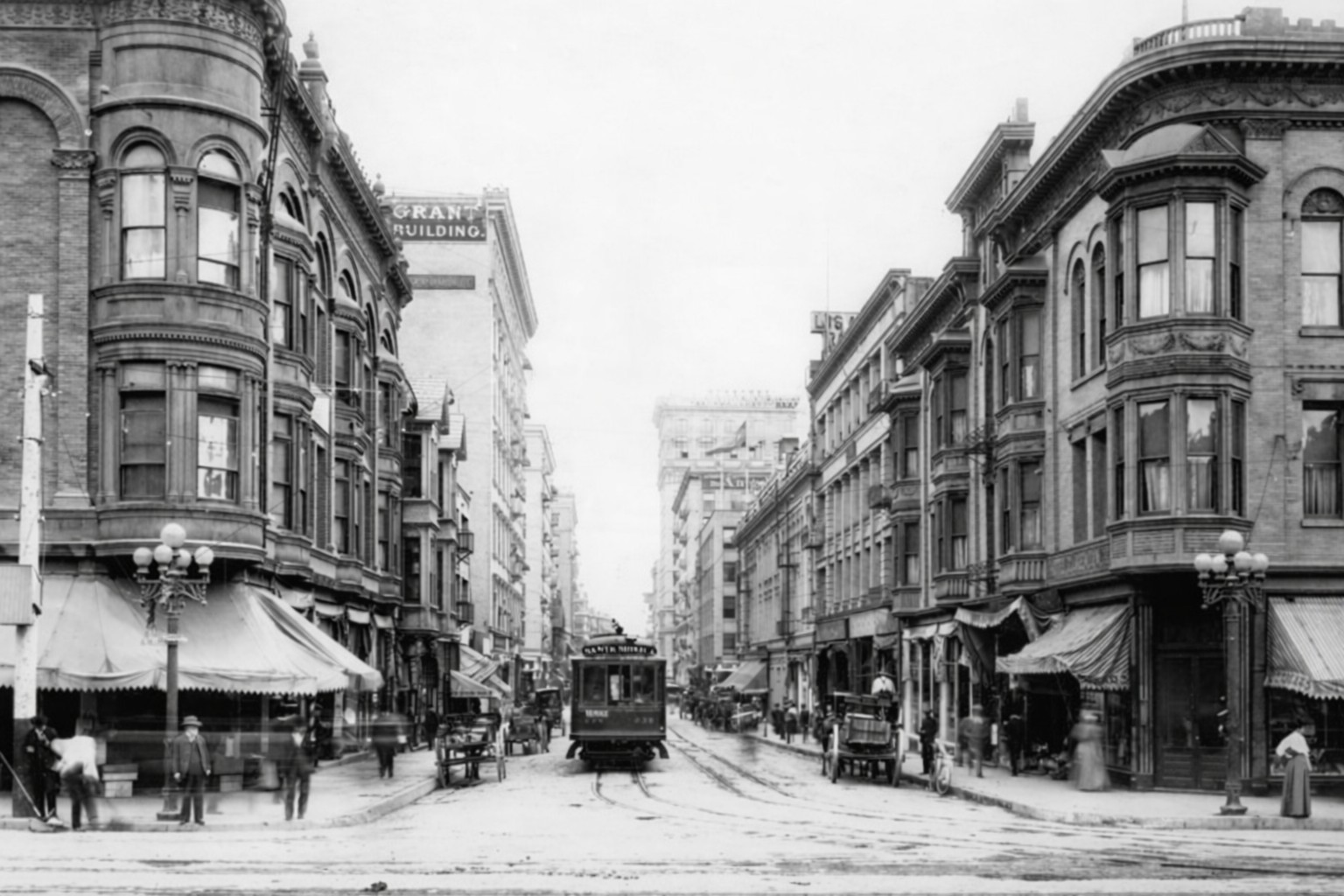 |
|
| (ca. 1900)* - Looking East on 4th Street at Hill Street. Photo enhancement by Jack Feldman. |
Historical Notes This view shows Fourth Street at the edge of Los Angeles’ most active downtown district at the turn of the century. Hill Street marked the transition between the commercial core to the east and the residential heights of Bunker Hill to the west. Streetcars and horse traffic shared the roadway, while awnings, shopfronts, and upper floor rooms made these blocks busy from morning into the evening. By 1900, Los Angeles was no longer a small town with a few standout buildings. It was becoming a true city, with growing retail, offices, hotels, and entertainment clustered close together. Intersections like Hill and Fourth were valuable because they captured through traffic from several directions, and because they sat within easy walking distance of Broadway’s rising shopping district and the civic center farther north. |
 |
|
| (2022)* - Contemprary view looking east on 4th Street at Hill Street. |
Historical Notes The modern view shows the same corridor as a fully built out downtown street shaped by automobiles, signals, and mid and high rise construction. The street alignment remains familiar, but the scale is larger and the streetscape is more regulated. Where earlier storefronts and awnings once dominated the scene, the modern block reads as a mix of residential, commercial, and institutional uses, layered over many decades of redevelopment. This location also reflects a long pattern in downtown Los Angeles: constant reinvention on the same street grid. Even when individual buildings change, the old paths of movement remain. Fourth Street still works as a connector between Broadway and Hill, and Hill still functions as a boundary line between the historic core and the slopes that once held Bunker Hill’s homes. |
Then and Now
 |
|
| (1900 vs 2022)* - Looking east on 4th Street at Hill Street. Photo comparison by Jack Feldman. |
Historical Notes The 1900 image captures a street that still feels open and human scaled, even as it is clearly urban. Transportation is mixed and slower, and the street has a softer edge created by awnings, small businesses, and frequent doorways. The scene belongs to a period when downtown commerce depended on foot traffic and short streetcar rides, and when many people lived close enough to walk to work and shopping. In the modern view, the street has a heavier, more engineered character. Paving, lane markings, signals, and larger buildings reflect a city built around the automobile and shaped by later waves of growth. What makes the comparison compelling is continuity amid change: the same eastward view line, the same intersection geometry, and the same role of Fourth Street as a connector through the downtown fabric. |
* * * * * |
Hill and 4th Street (Looking North)
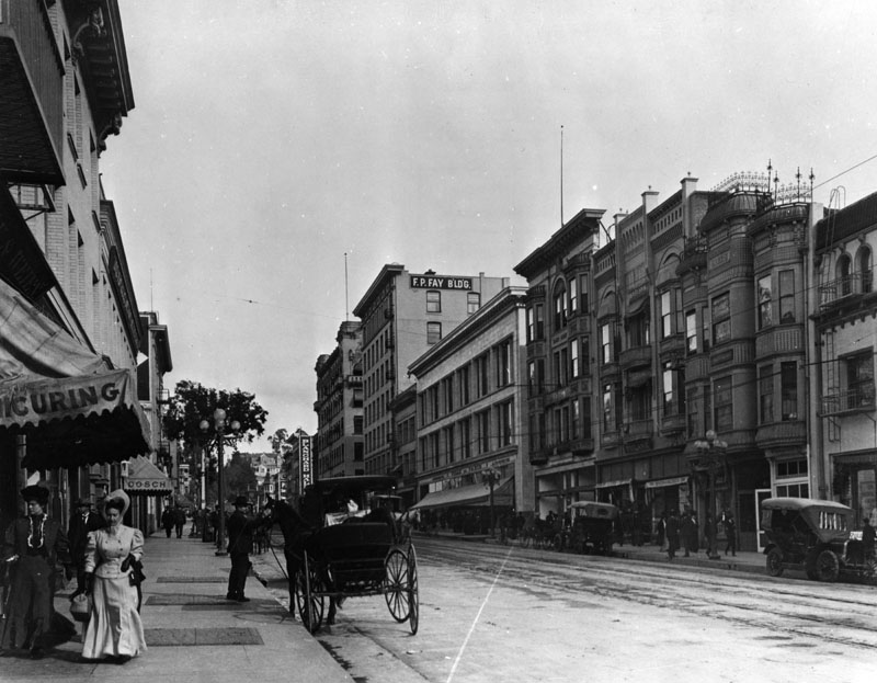 |
|
| (1905)* - View of Hill Street at 4th looking north. The F P Fay Building is in the center, and the Ville de Paris department store is the second building to the right. |
Historical Notes This 1905 view captures Hill Street at a lively moment when animals, pedestrians, and retail all shared the same space. A man pauses with a horse while women move under a protective awning, a common feature in downtown Los Angeles before air conditioning and modern street design. The street feels intimate, but the architecture and signage show a confident business district already competing for attention. The F P Fay Building anchors the scene as a prominent commercial structure, and it remained a recognizable downtown landmark for decades before being demolished in 1990. The Ville de Paris connection points to the larger retail world expanding just a short walk away, including the Homer Laughlin Building complex that housed Ville de Paris showrooms and sales floors during the early 1900s. Together, these buildings and businesses show how Hill Street was becoming part of a wider downtown shopping and office environment, not just a local street of small storefronts. |
 |
|
| (2021)* - Contemporary view looking north on Hill Street at 4th Street. |
Historical Notes The modern view shows Hill Street as a wide, regulated urban corridor, shaped by traffic flow and larger building footprints. The earlier awnings, open sidewalks, and curbside activity have largely been replaced by a cleaner but more standardized streetscape. Where the 1905 scene is full of small scale details, the modern scene tends to read in larger blocks, with fewer visual cues at the level of the pedestrian. Even so, the basic role of the street remains the same. Hill still acts as a major north south route through downtown, and Fourth remains a key cross street. The comparison also highlights what downtown Los Angeles tends to do over time: older mid rise commercial buildings give way to newer construction, while the street grid and the daily need for movement and commerce continue without interruption. |
Then and Now
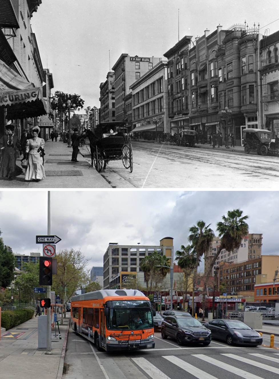 |
|
| (1905 vs 2021)* - Looking north on Hill Street at 4th Street. Photo comparison by Jack Feldman. |
Historical Notes The 1905 side of the comparison is striking because it shows a city that is urban, but still personal. The street belongs to the pedestrian and the merchant. The awnings suggest a shopping street designed for walking, stopping, and browsing, and the presence of horses and casual street level interaction makes the scene feel slow and socially connected. The modern side shows the same place as a faster, more controlled environment. Cars, signals, and larger buildings dominate. What makes this comparison especially compelling is that the location is unmistakable even when the architecture changes. The intersection still functions as a downtown hinge point, and the before and after view captures the biggest story of twentieth century Los Angeles in one glance: the shift from a walkable streetcar city to an auto oriented metropolis. |
* * * * * |
Spring and 2nd Street (Looking North)
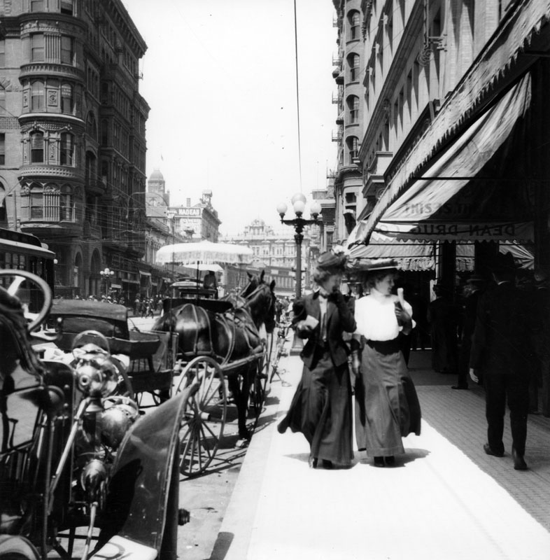 |
|
| (ca. 1905)^ - Two women walk along Spring Street just south of 2nd Street. On the left is the Bryson-Bonebrake Block, located on the northwest corner. Parked along the curb are both early automobiles and horse-drawn carriages. Behind the women is a decorative electric streetlight. |
Historical Notes By 1905, Spring Street was the center of Los Angeles’ business and financial district. Banks, offices, and commercial buildings lined the street, making it one of the busiest areas downtown. The Bryson-Bonebrake Block, built in the late 1880s, was one of the street’s most important early office buildings. This image shows a period of change. Automobiles were becoming more common, but horses were still widely used. Improvements such as electric streetlights and paved roads reflected the city’s push toward modernization. |
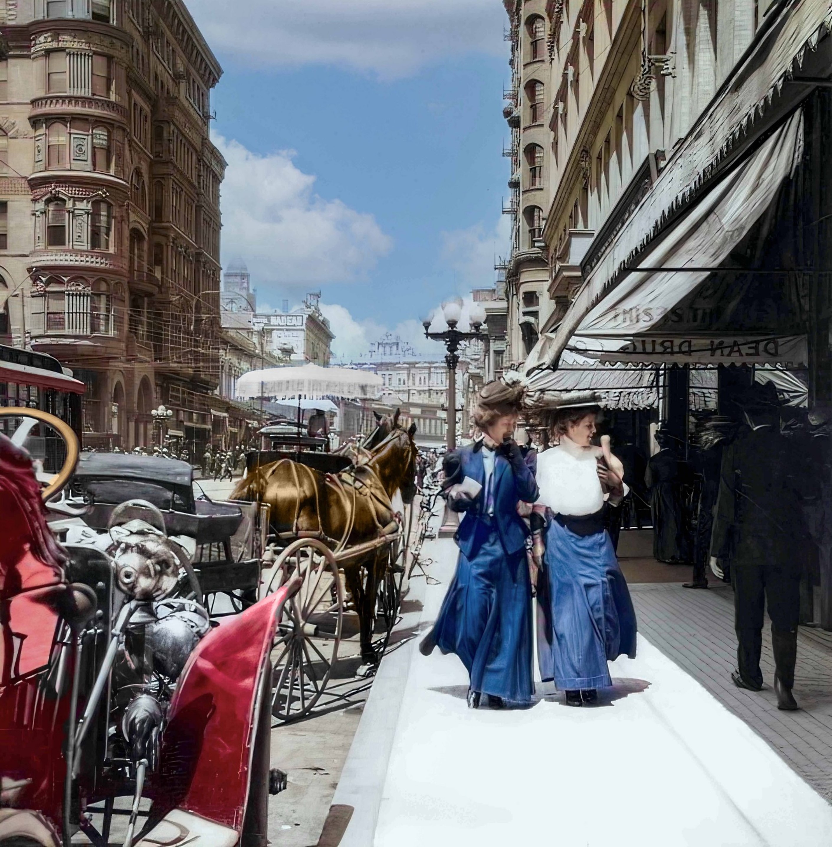 |
|
| (ca. 1905)^ - Two women pause on Spring Street south of 2nd Street, near the Bryson-Bonebrake Block at left. Early automobiles, carriages, and an ornate streetlight help define the scene. Image enhancement and colorization by Richard Holoff. |
Historical Notes The colorized image makes architectural details and street features easier to see. Decorative streetlights, wide sidewalks, and active storefronts were part of Spring Street’s role as a major downtown corridor. Pedestrians were a constant presence in this area. The clothing and behavior seen here reflect a growing city that was already urban in character, even as Los Angeles continued to expand outward. |
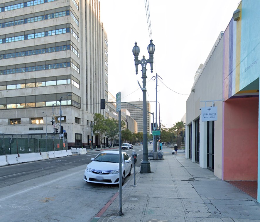 |
|
| (2022)* - Looking north on Spring Street toward 2nd Street. |
Historical Notes The Bryson-Bonebrake Block once stood on the northwest corner of Spring and 2nd Streets. Built in the late 1880s, it was one of the key office buildings that helped establish Spring Street as Los Angeles’ early business and financial center. The building was demolished in 1934 and later replaced by the Crawford Addition to Times Mirror Square, completed in 1948, as part of a broader redevelopment that removed much of the area’s early commercial architecture. Looking north up Spring Street, the Los Angeles Times Building can be seen at the southwest corner of Spring and 1st Street. Completed in 1935, it did not exist at the time of the 1905 photograph and represents a later phase of development along Spring Street. |
Then and Now
 |
|
| (1905 vs 2022)* - Looking north on Spring Street toward 2nd Street. Photo comparison by Jack Feldman. |
Historical Notes The comparison highlights changes in street life as well as architecture. In 1905, pedestrians shared Spring Street with horse-drawn wagons and a growing number of early automobiles, all moving at a slower, human pace. The street functioned as a shared public space, shaped as much by foot traffic as by vehicles. This comparison shows how completely the buildings at Spring and 2nd Streets have changed. In 1905, the Bryson-Bonebrake Block dominated the northwest corner and was part of a dense commercial streetscape that defined Spring Street as Los Angeles’ early business district. Today, the Crawford Addition to Times Mirror Square, completed in 1948, stands on the site where the Bryson-Bonebrake Block once stood, reflecting the mid-20th-century redevelopment that replaced much of the area’s early commercial architecture. |
* * * * * |
Spring and 6th Street (Looking North)
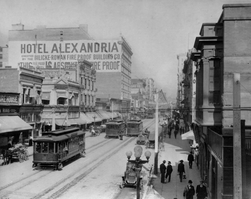 |
|
| (1906)^ - View looking north on Spring Street from 6th St. to the Hotel Alexandria located on the southwest corner at 5th St. |
Historical Notes This view looks north on Spring Street toward the Hotel Alexandria, one of Los Angeles’ most prominent hotels at the time. Opened in 1906 at Spring and 5th Streets, the Alexandria served business travelers and visitors and helped establish Spring Street as a center of upscale commercial activity. The street shows a city in transition. Horse-drawn wagons still dominate the roadway, but early automobiles have begun to appear. Streetcars share the street, carrying passengers between downtown and nearby neighborhoods. Buildings along Spring Street are taller and more substantial than earlier structures. These multi-story commercial blocks reflect the city’s rapid growth and its rising confidence as a major business center. |
* * * * * |
Spring and 5th Street (Looking North)
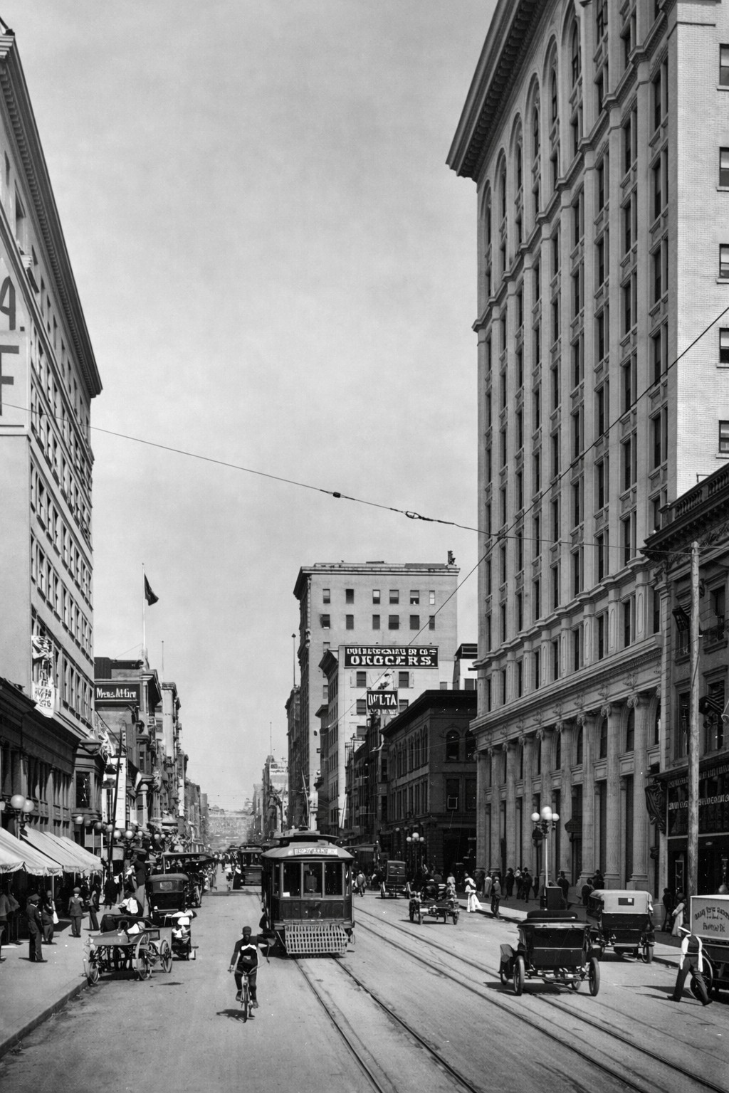 |
|
| (1905)* – View looking north on Spring Street with the Alexandria Hotel partially seen at the southwest corner of Spring and 5th St. (left side of picture). On the right (east side) sits the tall Security Building. A cyclist shares the road with horse-drawn wagons, early model cars and streetcars. |
Historical Notes This view captures Spring Street at a moment when older and newer forms of transportation coexist. The Alexandria Hotel is partially visible at the southwest corner, while the tall Security Building stands on the east side, marking the shift toward modern office buildings. A cyclist moves among horse-drawn wagons, early automobiles, and streetcars. Traffic flows without strict lanes or signals, showing how streets functioned as shared public spaces rather than regulated corridors. The Security Building was among the taller structures on Spring Street at the time. Its presence helped define the area as a growing financial and business district just before the major building boom of the 1910s. |
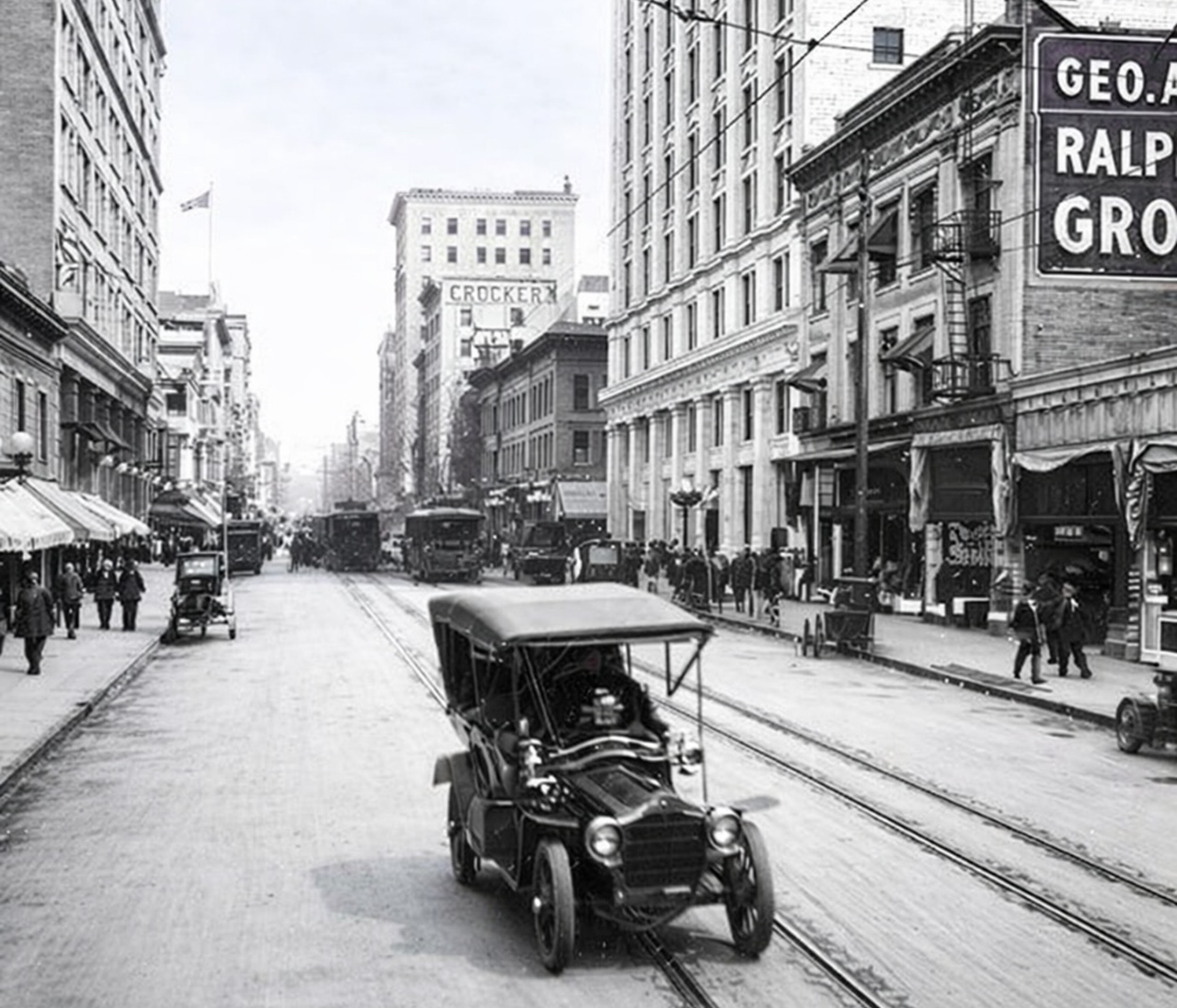 |
|
| (1905)* - An early view of Spring Street with the Alexandria Hotel partially visible at the southwest corner of Spring and 5th Streets. A Ralphs Grocery sign appears on the building just south of the Security Building along the east side of Spring Street. |
Historical Notes A Ralphs Grocery sign is visible along Spring Street, reflecting the company’s growing presence in downtown Los Angeles. Founded in 1873, Ralphs had become a well-known local grocer by the early twentieth century. The company’s primary store during this period was located one block south at Sixth and Spring Streets. Large signboards were commonly used to advertise nearby businesses, guiding pedestrians, cyclists, and streetcar passengers to stores just beyond the immediate view. This type of signage shows how downtown functioned as a continuous commercial corridor rather than a series of isolated blocks. Businesses relied on visibility and foot traffic generated by the busy street. Click HERE to see an 1886 photo of George Ralphs standing in front of his original store in the Early LA Buildings (1800s) Section. |
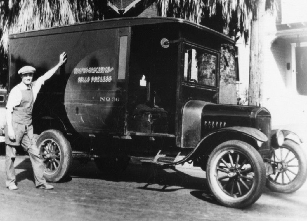 |
|
| (ca. 1910s)* - A man stands beside a Ralphs Grocery Company delivery truck bearing the slogan “Sells for Less." |
Historical Notes This image shows a Ralphs Grocery Company delivery truck, marked with the slogan “Sells for Less.” The message reflects the company’s emphasis on competitive pricing and wide customer appeal. By the 1910s, motorized delivery trucks were increasingly replacing horse-drawn wagons. These vehicles allowed grocers to serve customers farther from downtown and operate more efficiently. Branded delivery trucks also helped reinforce name recognition. Ralphs vehicles became a familiar sight on Los Angeles streets as the company expanded its reach. |
Then and Now
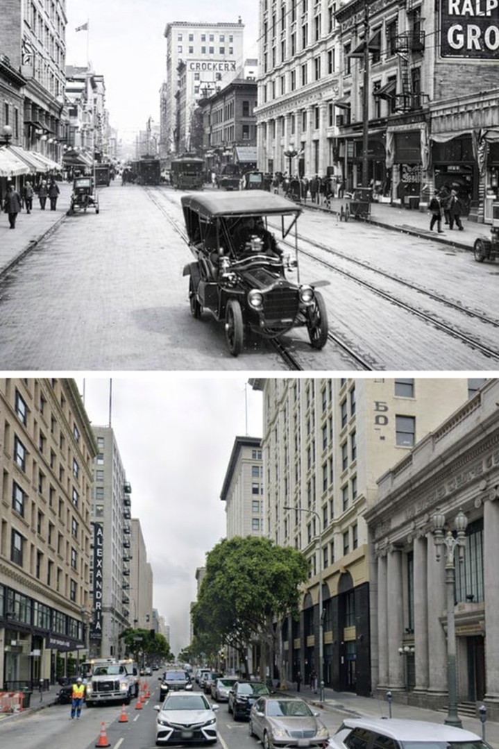 |
|
| (1905 vs. 2024)* - Urban evolution on Spring Street. Looking north on Spring Street toward 5th Street. |
Historical Notes This then and now comparison shows how Spring Street has changed over more than a century. In 1905, the street was a shared public space where pedestrians, bicycles, wagons, streetcars, and early automobiles all moved together at slow speeds. Two major buildings seen in the historic view are still standing today. The Alexandria Hotel remains at the southwest corner of Spring and Fifth Streets, and the former Security Building continues to anchor the east side of the street. These buildings help confirm that both images show the same location, even as the street itself has changed. Rather than a simple story of progress, the comparison shows tradeoffs. Spring Street became more efficient, but lost some of the cleanliness, walkability, and social ease that once made it feel like a shared public space. |
* * * * * |
Spring and 7th Street
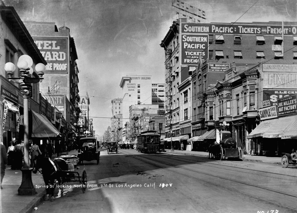 |
|
| (1908)* - Spring Street looking north from 7th Street, with a horse-drawn wagon parked beneath an ornate five-globe streetlight. |
Historical Notes This view looks north on Spring Street from Seventh Street. A horse-drawn wagon is parked at the curb, showing that animal-powered transport was still common even as the city modernized. The ornate five-globe streetlight reflects Los Angeles’ efforts to improve street lighting and appearance. These lamps provided both illumination and decoration, helping make downtown safer and more inviting after dark. Spring Street was firmly established as a major commercial thoroughfare. The mix of vehicles, buildings, and street features illustrates a city growing quickly while still relying on familiar systems. Click HERE to see more on the early 5-Globe streetlights seen above. |
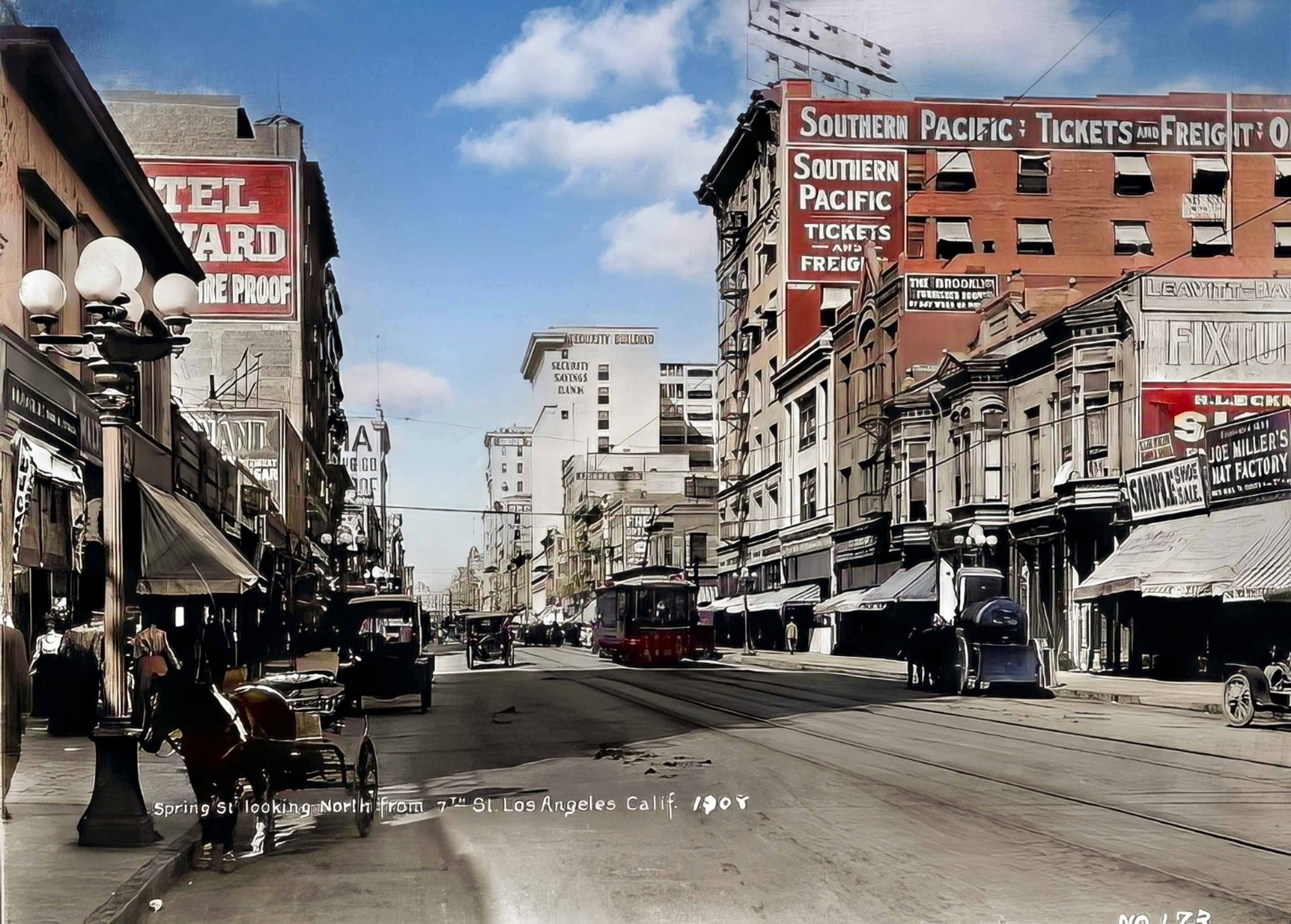 |
|
| (1908)* - Spring Street looking north from 7th Street, colorized to highlight architectural and street details. Image enhancement and colorization by Richard Holoff. |
Historical Notes Colorization brings out details that are less visible in black-and-white photographs. Brickwork, painted storefronts, and metal fixtures become easier to recognize. The five-globe streetlight stands out as a key visual element. Its design reflects early efforts to combine function with visual appeal in public spaces. Despite these improvements, the street remains human-scaled. Horses, wagons, and pedestrians still shape daily life, even as the modern city continues to take form. |
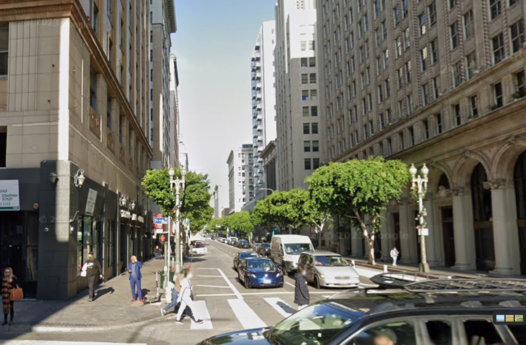 |
|
| (2022)* - Looking north on Spring Street at 7th Street in DTLA. |
Historical Notes This modern view shows Spring Street as part of a dense, fully built-out downtown environment. Tall buildings line the street, reflecting decades of redevelopment and the shift toward higher-density commercial and residential use. Automobiles dominate the roadway, and traffic movement is tightly controlled by signals, lanes, and signage. The street now functions primarily as a transportation corridor rather than a shared public space. While the scale and pace have changed, Spring Street remains an important north–south route through downtown Los Angeles. Its continued use highlights the lasting role of early street layouts in shaping the modern city. |
Then and Now
 |
|
| (1908 vs 2022)* - Looking north on Spring Street at 7th Street in DTLA. Photo comparison by Jack Feldman. |
Historical Notes This comparison highlights more than a century of change along Spring Street. In 1908, the street was human-scaled, with horse-drawn wagons, pedestrians, and ornate streetlights defining daily life. By 2022, the same location reflects a faster, more regulated city. Automobiles, taller buildings, and modern infrastructure dominate the scene, emphasizing efficiency and density over decoration. Despite these differences, the street’s alignment and purpose remain consistent. Spring Street continues to serve as a central artery through downtown, linking past and present through its enduring role in the city’s fabric. |
* * * * * |
7th and Spring
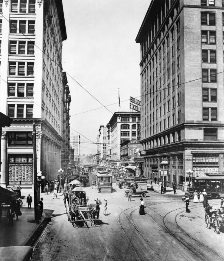 |
|
| (1915)* - Looking west on 7th Street at Spring Street as horse-drawn wagons, streetcars, and early automobiles share the roadway. In the distance, the Bullock’s Department Store sign marks the growing retail corridor along Seventh Street. |
Historical Notes In 1915, the intersection of Spring and 7th Streets in downtown Los Angeles was a pivotal part of the city's expanding financial and commercial core. Spring Street was known as the "Wall Street of the West," hosting many of the city's banks and financial institutions, marked by early skyscrapers like the Continental Building. Meanwhile, Seventh Street was transitioning from agricultural and residential uses into a major commercial corridor, becoming an upscale shopping district distinct from Broadway. By the 1920s, Seventh Street had developed into a dense urban area with numerous office buildings and flagship department stores, reflecting Los Angeles’s rapid economic growth and architectural flourish in styles such as Beaux Arts. |
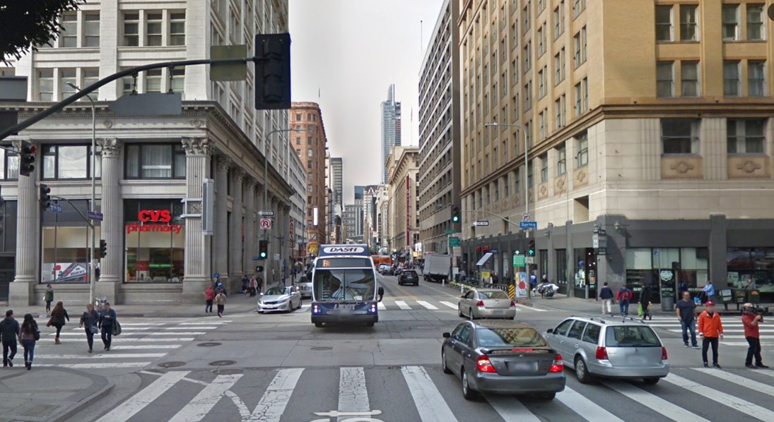 |
|
| (2017)* – Contemporary view of the intersection of 7th and Spring looking west, showing many of the same early 20th-century buildings still standing. The Hellman Building on the left now houses a CVS, and the street is shared by DASH buses, cars, and pedestrians. In the distance, the Wilshire Grand rises above a quieter but still active downtown streetscape. |
Historical Notes Today, the intersection of Spring and 7th Streets in downtown Los Angeles features many historic buildings that have been updated for new uses like housing and shops. The area has been improved with new bike lanes, sidewalks, street trees, and better lighting to make it safer and easier to get around. These changes are part of efforts to make downtown more accessible for people walking, biking, and using public transit. |
Then and Now
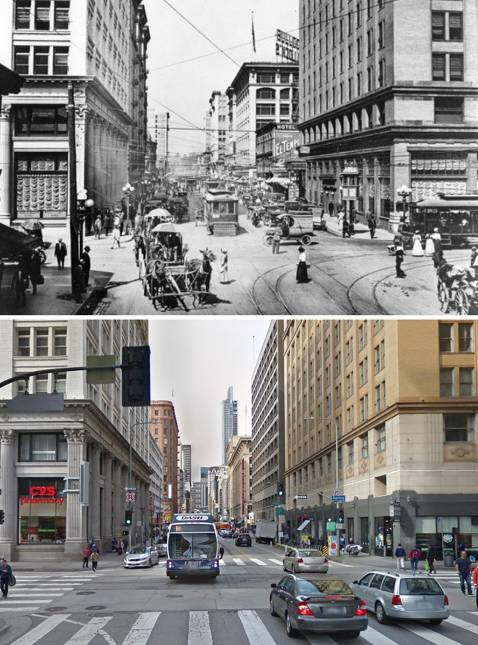 |
|
| (1915 vs 2017)* – Looking west on 7th Street at Spring Street in downtown Los Angeles. Photo comparison by Jack Feldman. |
Historical Notes From horse-drawn wagons and electric streetcars to buses and rideshares, this intersection has seen more than a century of change. Many buildings remain, but the street has lost some of the bustle—and a bit of its old vitality. |
* * * * * |
Fire Department - Hill and 16th Street (later renamed Venice Street)
 |
|
| (ca. 1905)^ - Firemen in their horse-drawn firewagons are seen outside of their station located at Hill and 16th (later renamed Venice Boulevard) streets. |
Hill and 5th Street
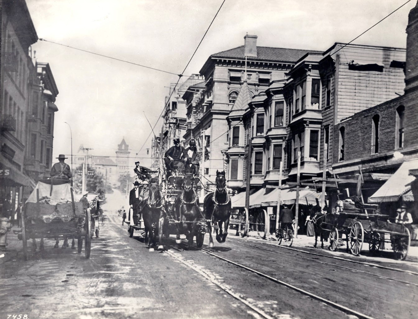 |
|
| (ca. 1906)* - A fire engine races east on 5th Street from Hill Street. The view is looking west. The prominent building in the background is the State Normal School. The building with awnings behind the fire engine is the California Club, at its 5th and Hill St. location, which it left in 1930. Photo by C. C. Pierce (2nd Image Source: LAPL).* |
Historical Notes The State Normal School later evolved into UCLA. Click HERE to see more in Early Views of the Normal School and UCLA. |
 |
|
| (2021)* - Looking west on 5th Street toward Hill Street. |
Then and Now
Then_and_Now.jpg) |
|
| (1906 vs 2021)* - Looking west on 5th Street toward Hill Street. Photo comparison by Jack Feldman. |
Hill and 5th Street
 |
|
| (ca. 1910)* - Looking west on 5th Street at Hill Street in downtown Los Angeles. On the left is Central Park, renamed Pershing Square in 1918. In the distance the building with the tower is the State Normal School at Grand Avenue, where 5th Street originally dead-ended. After the State Normal School was demolished in 1924, 5th Street would be straightened and extended past Grand Avenue. The remaining school site became the location of the L.A. Central Library, which would be built in 1925. The building on the right with the awnings is the California Club. |
Historical Notes Note the beautiful ornate streetlight seen on the NW corner. These types of five-globe streetlights were originally installed on most streets in Downtown Los Angeles in the early 1900s, (except for Broadway which had the seven-globe lights). This particularly ornate model (called "Winslow") seemed to be limited to Hill Street and the streets adjacent to Pershing Square: the one block segments of 5th, Olive, and 6th. Today, the last of these poles are still being used as architectural features in the gardens and malls adjacent to City Hall. Click HERE to see more. |
 |
|
| (2024)* - Looking west on 5th Street at Hill Street with Pershing Square on the left. The Biltmore Hotel can be seen further back on the left. |
Then and Now
.jpg) |
|
| (1910 vs 2024)* - Looking west on 5th Street at Hill Street with Central Park (now Pershing Square) on the left. Photo comparison by Jack Feldman. |
Historical Notes The following is a chronology of name changes the park has seen before becoming Pershing Square: ◆ 1866 – La Plaza Abaja or "The Lower Plaza" ◆ 1867 – St. Vincent Park ◆ 1870 – Los Angeles Park ◆ 1886 – 6th Street Park ◆ 1890s- Central Park ◆ 1918 – Pershing Square |
 |
|
| (1915)* - Looking west on 5th Street toward Olive Street, with Central Park (later named Pershing Square) on the left. The famous Spanish-American War Soldier’s Monument stands at the lower-left corner of the park. This area was one of Los Angeles’ cultural and social hubs in the early 1900s. Several prominent buildings stand out, especially the Gothic-style Temple Auditorium (known at the time as Clune's Auditorium) with its oversized rooftop neon sign located on the northwest corner of 5th and Olive Street, and the California Club seen on the right on the northwest corner of 5th and Hill Street. |
Historical Notes The ornate theater, initially named Temple Auditorium, opened on November 7, 1906, with a performance of "Aida." Designed by Charles E. Whittlesey, it was the world's largest reinforced concrete structure at the time, featuring an Art Nouveau interior, a Spanish Gothic exterior, 2,700 seats, and the largest stage in the western U.S. In 1914, impresario William "Billy" Clune leased and transformed it into Clune's Auditorium, a pioneering movie palace known for elaborate prologues with music and dancers. Notably, it hosted the premiere of D.W. Griffith's "Birth of a Nation," with a full orchestra. Note: The Spanish-American War Soldier's Monument is still located in Pershing Square today. The monument, also known as the 7th Regiment Monument, remains the oldest piece of public art in the city and has been designated as Cultural-Heritage Monument No. 480 by the Los Angeles Cultural Heritage Commission. |
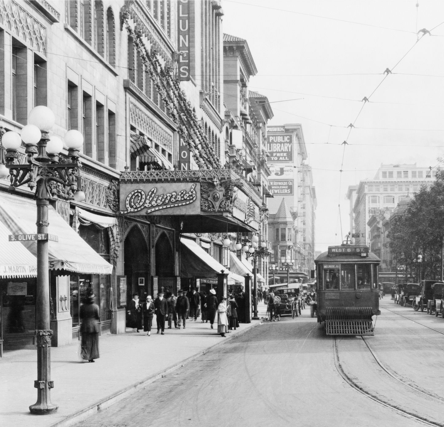 |
|
| (1914)* - View looking east on 5th Street at Olive Street, with Clune’s Theatre Auditorium on the left and Central Park (later named Pershing Square) across the street on the right. A horse-drawn carriage is parked by the curb while a streetcar is in the middle of the road. |
Historical Notes The Los Angeles Railway operated an extensive network of streetcars in the downtown area, including along 5th Street near what would become Pershing Square, during the period around 1914. |
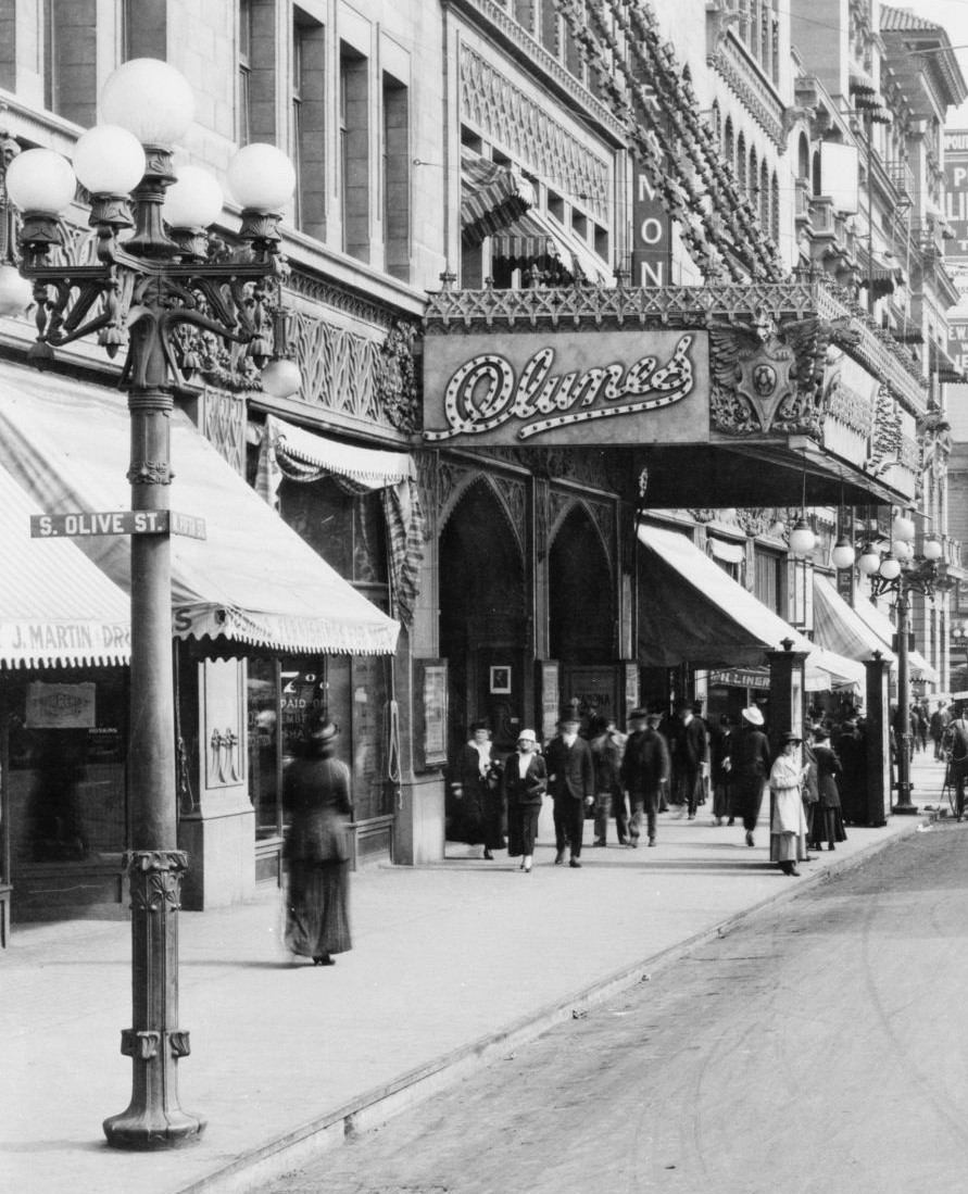 |
|
| (1914)* - A close-up view showing the details of both the Clune’s Theatre marquee and the ornate 5-lamp streetlight on the northeast corner of 5th and Olive Street. This beautiful streetlight, also known as 'Winslow,' added a certain charm to the downtown area. |
Historical Notes Note the details on the ornate streetlight on the corner, also known as the 'Winslow' electrolier. It was manufactured by the Llewellyn Iron Works, founded in 1889, which was one of the largest metalworking facilities in Los Angeles at the time. Click HERE to see more early views of 5-globe Llewellyn 'Winslow' Electroliers. |
Hill and 5th Street (Northwest Corner)
 |
|
| (1904)* - View of the California Club Building on the corner of 5th and Hill streets. A group of ladies are seen on the corner (lower-left) waiting to cross the street. |
Historical Notes The California Club is a private social club established in 1888 in downtown Los Angeles, the oldest such club in Southern California. The club's first location was in the second-floor rooms over the Tally-Ho Stables on the northwest corner of First and Fort (Broadway) streets, where the Los Angeles County Law Library now stands. It moved to the Wilcox Building on the southeast corner of Second and Spring streets in 1895, occupying the two top floors, the fourth and fifth. The building was distinguished as the first in Los Angeles to have two elevators — one for the public and the other for members. The men's dining room, reading room, bar and lounge were on the top floor. On the floor below was the ladies' dining room. The club remained at the Wilcox Building for ten years, Increased membership impelled the club to seek a new location in the southward and westward direction of the expansion of the city. In 1904 the club's headquarters were moved to a new five-story building with a basement and a roof garden on the northwest corner of Fifth and Hill streets. Beginning in the 1920s, blacks, Jews and women were barred from membership. Finally in 1987 the city of Los Angeles made discriminatory clubs illegal. Some members of the California Club then sought to maintain discriminatory membership policies, but their efforts were defeated by a majority of the members. Indeed, in the vote taken in June 1987, 90 percent of the voting members favored admitting women.* |
.jpg) |
|
| (2023)* - Looking at the NW corner of Hill and 5th streets. |
Then and Now
 |
|
| (1904 vs 2023)* - Looking at the NW corner of Hill and 5th streets. Photo comparison by Jack Feldman. |
* * * * * |
Downtown Los Angeles
 |
|
| (1904)^^ - Panoramic view of downtown Los Angeles, looking west on 6th street from the top of the still under construction Pacific Electric Building (6th Street & Main Street). |
Historical Notes The city is thriving with multi-storied commercial and residential buildings. Both, the large two-story mansion-style Spring Street School next to the H. Arnold Furniture Store building and the California State Normal School can be seen. Prominent buildings or landmarks include: Pershing Square (center right), Saint Paul's Episcopal Church, State Normal School (upper center) and the Metropolitan Building (still under construction -- behind the Los Angeles Examiner building). Mountains are visible in the distance: the Santa Monica Mountains to the left; the Hollywood Hills, center right; and a mix of the Verdugo and San Gabriel Mountains to the right. |
 |
|
| (ca. 1904)^^ - View of Sixth Street looking west from Spring Street. The Hollywood hills can be seen in the distance. The large structure on the hill in the background (top-center) is the California State Normal School. The building at center-left with the conical-style roof is the First Methodist Episcopal Church. It's located on the NE corner of 6th and Hill, across the street from Central Park (later Pershing Square). |
Historical Notes Sixth Street stands to the left, stretching towards the horizon from the bottom of the photo, populated with pedestrians and horse-drawn carriages. Tall two- to four-story victorian-style business buildings line it to the left and right. To the extreme right, the large, two-story mansion-style Spring Street School can be seen next to the H. Arnold Furniture House that advertises "Mattings, Linoleum & Rugs". Mountains (Hollywood HIlls) are visible in the background. The California State Normal School is the largest structure in the background.^^ |
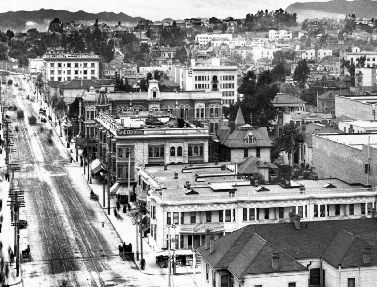 |
|
| (ca. 1905)^^ – View looking west on 7th Street from the Lankershim Hotel (SE corner of 7th at Broadway. The Hotel Baltimore (NE corner of 7th and Olive) can be seen at center-left. |
Pacific Electric Building
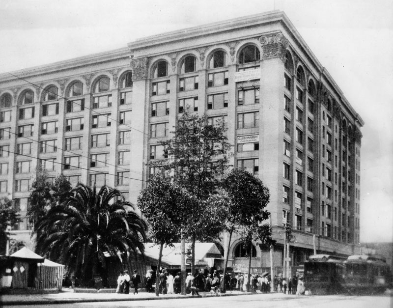 |
|
| (1905)^ - View of the Pacific Electric Railway building on Main and Sixth Streets, which housed the ticket office. Passengers are seen in line waiting to board the PE electric streetcars. |
Historical Notes The historic Pacific Electric Building (also known as the Huntington Building, after the Pacific Electric founder and developer, Henry Huntington) opened in 1905 as the terminal for the Pacific Electric Red Car Lines running east and south of downtown Los Angeles, as well as the company's main headquarters building. It was designed by architect Thornton Fitzhugh. Though not the first modern building in Los Angeles, nor the tallest, its large footprint and ten-floor height made it the largest building in floor area west of Chicago for several decades. Above the main floor terminal were five floors of offices and, on the top three floors, the Jonathan Club, one of the city's leading businessmen's clubs. The club moved to its own building on Figueroa Street in 1925.*^ |
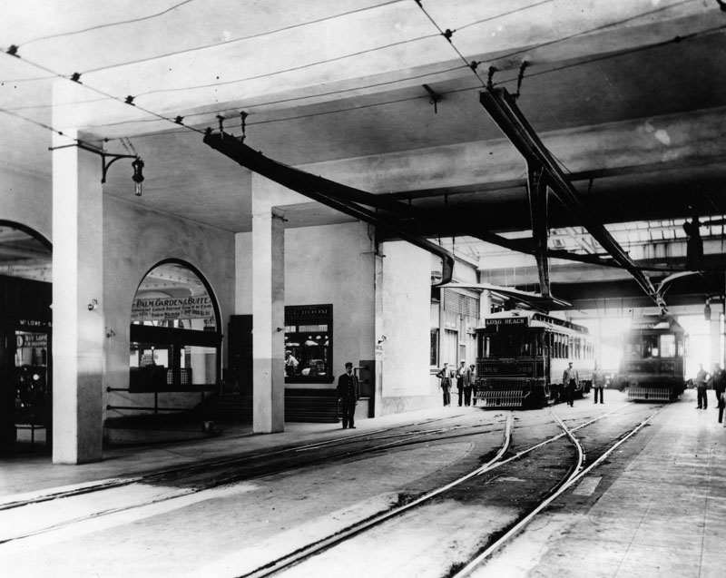 |
|
| (ca. 1905)^ - Interior view of the Pacific Electric Building, the main streetcar station located on Main and 6th streets. Two streetcars, one bound for Long Beach, the other for Pasadena, are seen surrounded by several conductors. The Palm Garden & Buffet, a small lunch counter managed by Eugen Mächtig, is visible on the left. Another business, perhaps a men's clothier, is also present in the building. One sign on the far left reads "Mt. Lowe", once a popular mountain destination for Pacific Electric customer (Click HERE to see more in Early Views of Mt. Lowe Railway). |
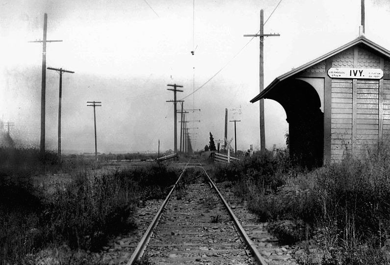 |
|
| (ca. 1905)^## - Westbound view of "Ivy Station" at the current location of the Culver City station of Los Angeles Metro's Exposition light rail line. |
Historical Notes Named after the Ivy Park housing development, the Ivy station stop along the Santa Monica Air Line served present-day Culver City. Located near the corner of Venice and Robertson Boulevards, the Ivy Station was later renamed Culver Junction. It eventually closed in 1953.^## |
* * * * * |
Venice of America
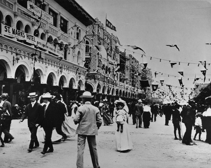 |
|
| (1905)* - The street is filled with people strolling, and the air with banners strung from the Hunt Hotel on the left. A banner on the building to the near left declares that "St. Mark's Hotel will open in early July". This was the grand opening celebration for Venice of America, July 4, 1905. Click HERE to see more in Early Southern California Amusement Parks. |
Historical Notes In 1891 Abbot Kinney built the resort of Ocean Park, which became the center of his coastal amusement paradise, Venice of America. Easily accessible by streetcar from both Santa Monica and Los Angeles, Venice, which opened in 1905, included canals, gondolas and gondoliers, Venetian-style buildings, an amusement pier, a dancehall and an auditorium. Kinney inherited his father's tobacco business and made a substantial fortune manufacturing Sweet Caporal cigarettes.* |
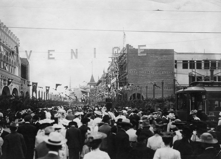 |
|
| (ca. 1905)^ - There are wall to wall people filling Windward Ave. in Venice of America, all looking and moving toward the ocean. "VENICE" is strung above their heads over the street in large letters. |
 |
|
| (1905)^ - Swimming race at Venice of America. A large crowd is present in the amphitheater at Venice near Los Angeles to view the swimming races on July 4th. Here the 50 yard race has just begun. |
 |
|
| (ca. 1905)^^ - Panoramic view looking north at the Pier at Venice Beach showing the amusement park and beach. The Ship Cafe is seen on the left. |
Historical Notes Among the South Bay piers, the most notable in this period was Abbot Kinney's Venice of America pier, started in 1904 and built to rival his former partner's Ocean Park Pier. Located at the end of Windward Avenue in Venice, Kinney's pier was 900 feet long, 30 feet wide and included an Auditorium, large replica Ship Cafe, Dance Hall, Dentzel carousel, a Japanese Tea House and an Ocean Inn Restaurant. Venice soon became considered its own neighborhood.*^ |
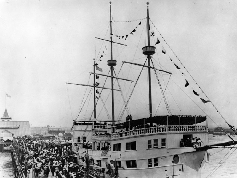 |
|
| (1905)^ - A big crowd is seen behind the large restaurant ship which was a replica of Juan Cabrillo's Spanish galleon. People can also be seen aboard the ship which was located in Venice at the Abbot Kinney Pier. |
Historical Notes Venice of America was founded by tobacco millionaire Abbot Kinney in 1905 as a beach resort town. He and his partner Francis Ryan had bought two miles of oceanfront property south of Santa Monica in 1891. They built a resort town on the north end of the property called Ocean Park, which was soon annexed to Santa Monica. After Ryan died, Kinney and his new partners continued building south of Navy Street in the unincorporated territory. After the partnership dissolved in 1904, Kinney built on the marshy land on the south end of the property, intending to create a seaside resort like its namesake in Italy.*^ |
 |
|
| (1905)^ - Nigthtime view of Abbott Kinney's Pier in Venice. The pier was destroyed by fire in 1920. |
Historical Notes When Venice of America opened on July 4, 1905, Kinney had dug several miles of canals to drain the marshes for his residential area, built a 1,200-foot long pleasure pier with an auditorium, ship restaurant, and dance hall, constructed a hot salt-water plunge, and built a block-long arcaded business street with Venetian architecture. Tourists, mostly arriving on the "Red Cars" of the Pacific Electric Railway from Los Angeles and Santa Monica, then rode Venice's miniature railroad and gondolas to tour the town.*^ |
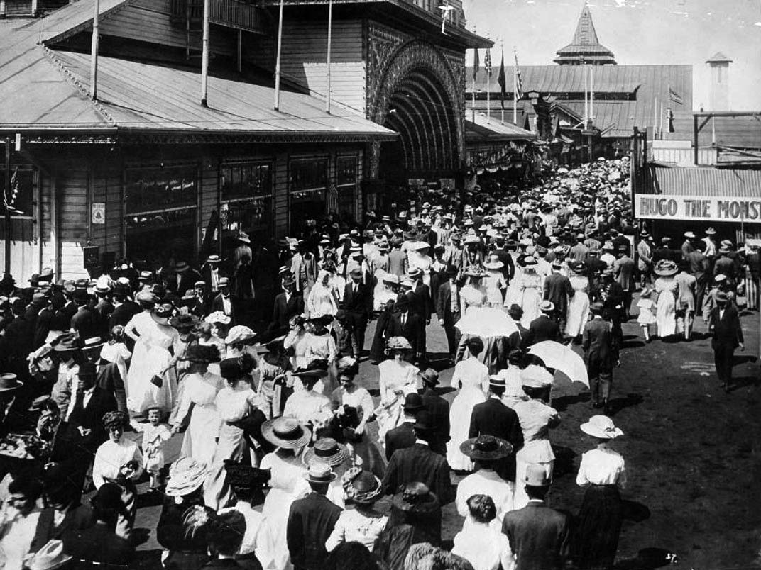 |
|
| (1908)* - Venice Pier on a crowded day with the Dance Hall seen in the background. |
* * * * * |
Naples Canals (Long Beach) |
Nestled along Alamitos Bay in southeast Long Beach, Naples is one of Southern California's most distinctive planned waterfront communities. In 1903, developer Arthur M. Parsons envisioned transforming a tidal marsh into an elegant Italian inspired village where canals, arched bridges, gondolas, and Mediterranean style homes would recreate the charm of Naples, Italy. Investors, including railroad magnate Henry E. Huntington, helped finance the ambitious project, while Pacific Electric provided convenient transportation from Los Angeles.Construction began in August 1905 as dredges carved canals through the marsh and used the excavated sand to raise three islands above the surrounding tides behind newly constructed concrete seawalls. Because developer Abbot Kinney had already named his nearby canal community Venice of America, Parsons invited the public to select a name for the new development, and Naples was chosen. Gondola rides through the newly dredged canals soon became one of the development's most successful attractions, offering prospective buyers a glimpse of the picturesque waterfront lifestyle Parsons hoped to create.Although financial setbacks following the Panic of 1907 slowed development, Naples gradually matured into one of Southern California's finest residential waterfront neighborhoods. Today, its canals, graceful bridges, Italian street names, and gondolas continue to preserve much of Arthur M. Parsons' original vision. Because Naples and Abbot Kinney's Venice of America, now the Venice neighborhood of Los Angeles, were developed at nearly the same time and shared similar Italian inspired themes, early photographs of the two communities are frequently mistaken for one another. While the Venice Canals became the better known tourist attraction, Naples evolved into a quieter residential community whose historic waterways remain largely unchanged. |
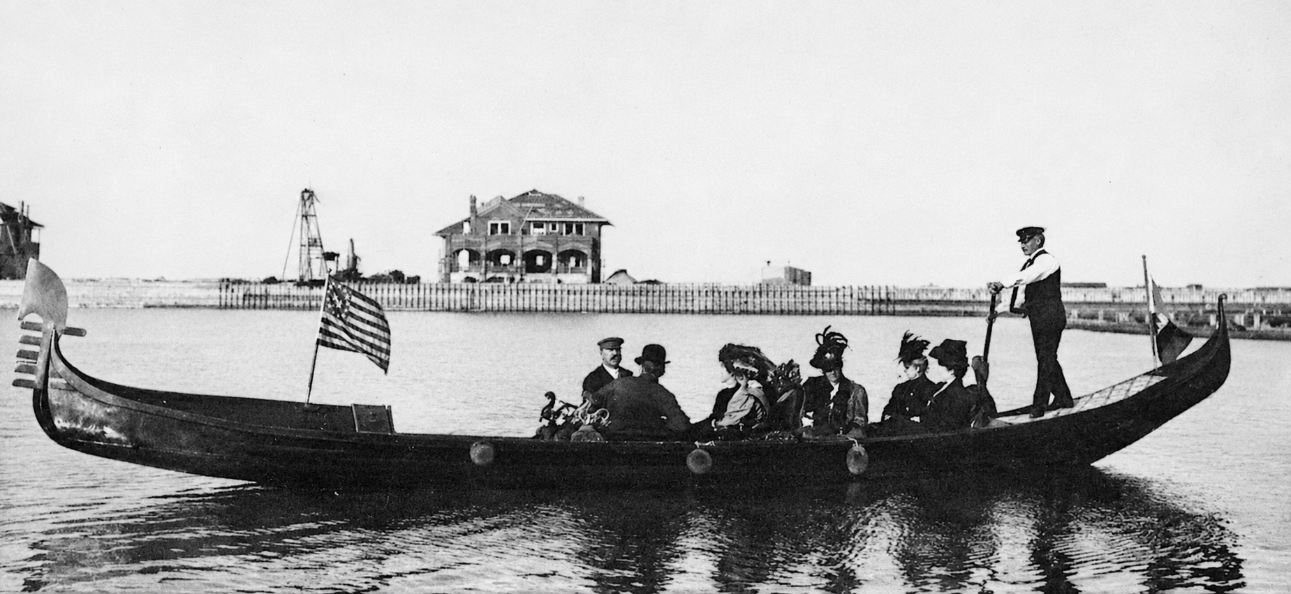 |
|
| (ca. 1905)* - A gondola carrying six passengers and a gondolier navigates the waterways of the Naples canals in Long Beach. Note: This photograph is often misidentified as showing the Venice Canals in Venice, California. |
Historical Notes Gondolas were more than a novelty. They were one of the Naples Land Company's most effective marketing tools. As construction progressed, visitors from Los Angeles were invited to tour the newly dredged canals aboard authentic Venetian gondolas while envisioning the transformation of what had recently been tidal marsh into an elegant waterfront community. Although early sales generated considerable interest, the financial Panic of 1907 slowed development significantly, and the community was not fully built out until the 1920s. Many visitors arrived aboard Henry Huntington's Pacific Electric Red Cars, which made Naples one of the featured stops on the popular Triangle Trolley Trip excursion from Los Angeles. The resemblance between Naples and nearby Venice of America often led to confusion, both then and now. Developed during the same period, each community promoted Italian inspired waterways complete with gondolas, picturesque bridges, and canal side homes. Parsons had originally hoped to name his development Venice before settling on Naples through a public naming contest, further linking the histories of Southern California's two famous canal communities. Today, many historic photographs of Naples continue to be incorrectly identified online as depicting the Venice Canals, making the two communities easy to confuse for those unfamiliar with their separate histories. |
 |
|
| (2016)* – Contemporary view of the canals adjacent to Naples Island in Long Beach. Photo courtesy of KW Coastal Properties. |
Historical Notes Located between Belmont Shore and the Long Beach Marina, Naples consists of three interconnected islands within Alamitos Bay, separated by approximately one mile of scenic canals that open into the bay. Arched pedestrian bridges span the waterways, while streets bearing names such as Corso di Napoli and Via di Roma reinforce the neighborhood's Italian heritage. At the center of the community, a landmark fountain and park, known since 1971 as La Bella Fontana di Napoli, serves as a popular gathering place for residents and visitors alike. Following extensive damage during the 1933 Long Beach earthquake, the original seawalls were rebuilt in 1938 with federal assistance, helping preserve the canals that define the neighborhood today. Unlike the Venice Canals, where most of the waterways were filled and converted into streets during 1929, Naples retained its original canal system, and the canals remain the heart of daily life on the islands. Residents and visitors enjoy the waterways by kayak, paddleboard, electric boat, and gondola. Since 1946, the annual Naples Island Christmas Boat Parade has become one of Long Beach's most cherished holiday traditions, while the return of authentic gondolas in 1982 has helped preserve one of the community's most enduring symbols. More than a century after the first canals were dredged from the marshlands of Alamitos Bay, Naples remains one of Southern California's best preserved and most picturesque waterfront neighborhoods. |
* * * * * |
Venice Canals
 |
|
| (1909)* - This postcard depicts one of the canals built by Abbot Kinney in 1905 in Venice, California to replicated the feeling of Venice, Italy in Southern California. Complete with Venetian style buildings and gondolas (as seen here), Kinney's Venice of America opened on July 4, 1905. Written on back: "This little scene taken at one of our beaches is, of course, artificial that is - canals are cut to let in the ocean water. |
Historical Notes The Venice Canals were originally conceived by developer Abbot Kinney in 1905 as part of his vision to create a "Venice of America" in what is now the Venice neighborhood of Los Angeles. Inspired by the famous canals of Venice, Italy, Kinney aimed to recreate a romantic and picturesque waterfront community. |
 |
|
| (1905)* - Horse-drawn scoops and sledges were used to dredge out the swamps, level the dunes and lay the gridwork for Venice canals. Grand Canal will be on the right, and Rialto Canal in the background on the left. |
Historical Notes
|
 |
|
| (ca. 1905)* - View of canal dredging in Venice, showing a large steam shovel arm protruding from the bow of a barge. Several men are standing on the barge near the shovel arm. The arm reads "Built by the Marion Steam Shovel Co. Marion, O". |
Historical Notes Kinney dredged several miles of marshland to create the canals, which were accompanied by Italian-inspired bridges and walkways. Construction began in 1904, and by 1905, the first canals were completed. The area quickly became a popular tourist destination and residential area. |
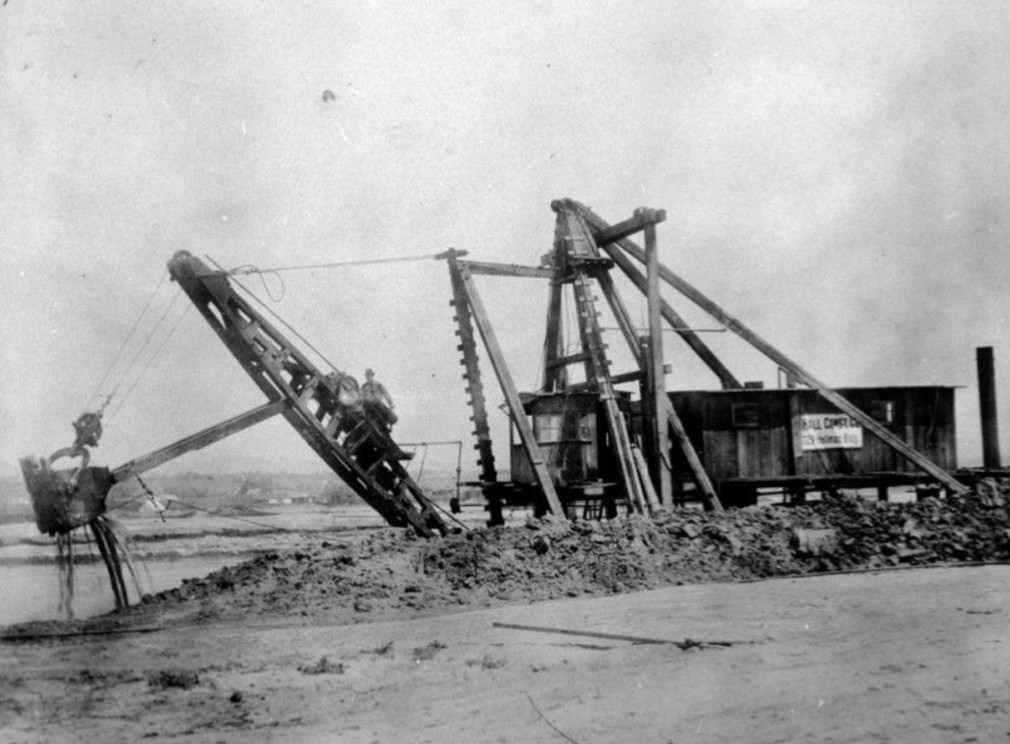 |
|
| (1905)* - A dredger on the Grand Canal in Venice. |
Historical Notes
|
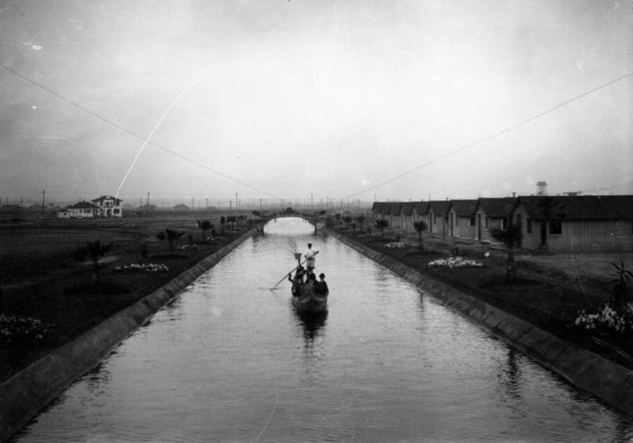 |
|
| (1905)* - A boat glides along a canal in Venice, in 1905. Notice the newly planted palm trees along the sides of the canal, and bungalows are visible at right. The sky looks overcast. The oarsman is standing at back, and men with suits and hats are sitting together at front. |
Historical Notes The original Venice of America canals contributed to the success of Kinney's real estate development. Lots fronting the canals became a favorite choice for owners of the local amusement concerns or out-of-town tourists looking for a place to pitch a summer cottage. |
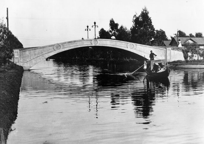 |
|
| (ca. 1905)^ - A gondolier and boat passes under one of the bridges on the canal route. At the same time a pedestrian and a bicycle rider are passing over the bridge. |
Historical Notes The beautifully lit canals with gondoliers and arched bridges drew widespread publicity and helped sell lots in Kinney’s Venice development. |
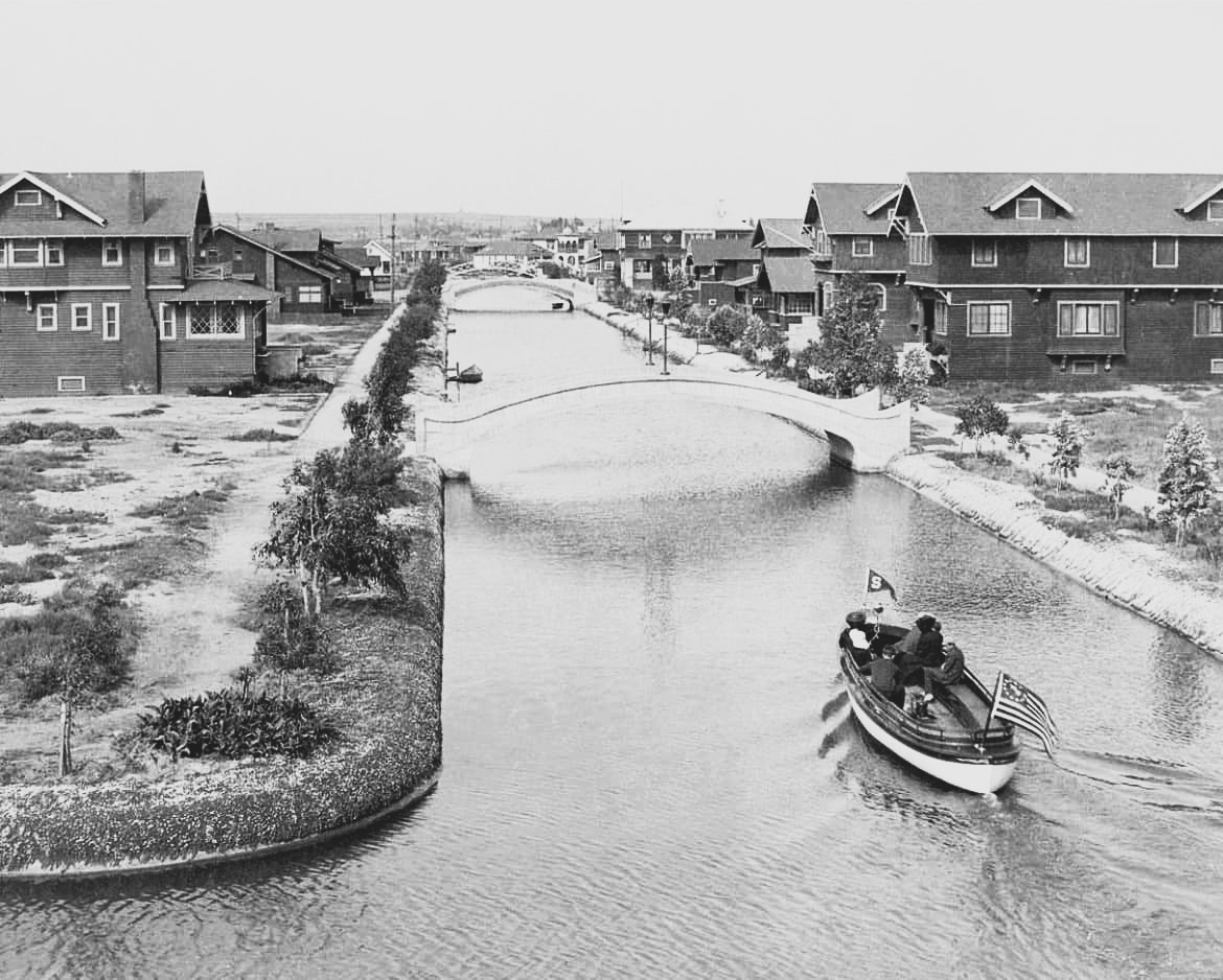 |
|
| (1911)* - A boat heads down the Aldebaran Canal. |
Historical Notes The Aldebaran Canal would later become Market Street after the canals were filled ca. 1929. |
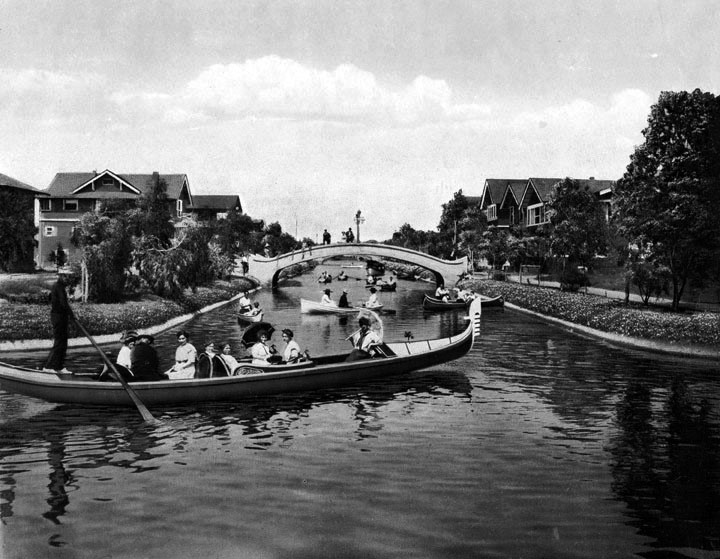 |
|
| (ca. 1909)^ – Postcard view showing gondoliers and row boats on the Aldebaran Canal. This would later become Market Street in Venice. |
Historical Notes As the automobile gained in popularity, the canals were viewed by many as outdated, and the bulk of the canals were filled in 1929 to create roads. |
 |
|
| (1924)^ - View showing a complex of rental bungalows known as United States Island. It was accessible only by the foot bridges seen on either side of it. In this view, looking north, Altair Canal is on the left and Cabrillo Canal on the right. |
Historical Notes When it opened on July 4, 1905, Venice of America boasted seven distinct canals arranged in an irregular grid pattern. Totaling nearly two miles and dredged out of former saltwater marshlands, the canals encircled four islands, including the tiny triangular United States Island. The widest of them, appropriately named Grand Canal, terminated at a large saltwater lagoon. Three of the smaller canals referred to celestial bodies: Aldebaran, Venus, and Altair. |
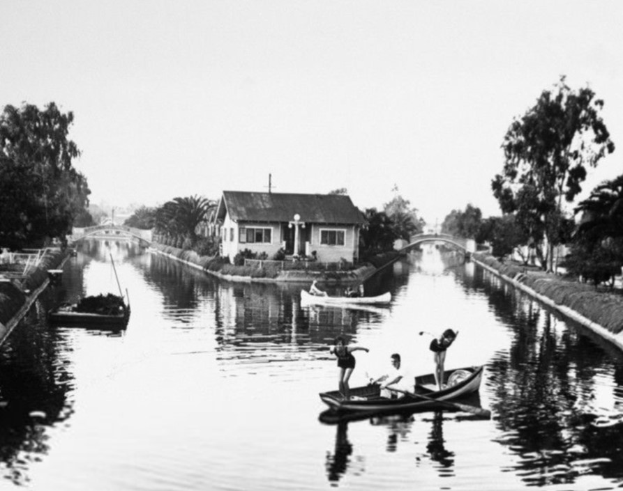 |
|
| (ca. 1924)* - Two young women preparing to dive into the water of the Venice Canals. In the background is a complex of rental bungalows on what was known as United States Island. It was accessible only by the foot bridges seen on either side of it. |
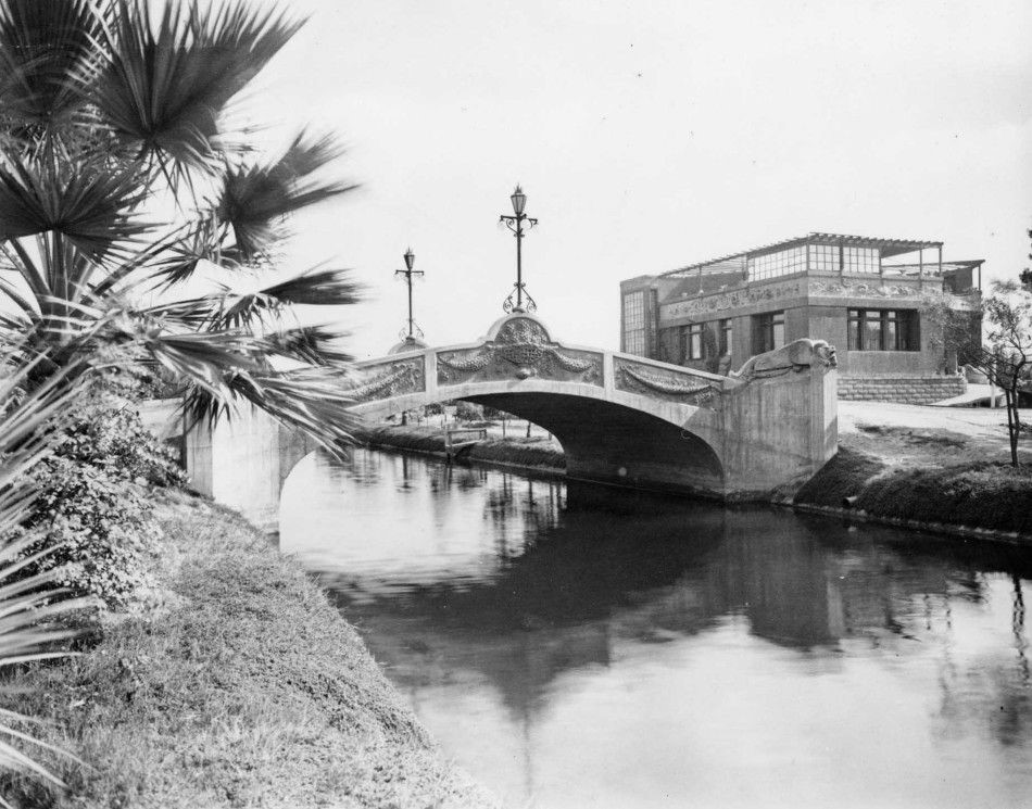 |
|
| (ca. 1920s)* - Lion Canal in Venice of America, part of Abbot Kinney's rich imagination and attention to detail. Note the majestic Lion resting on the bridge. |
Historical Notes Lion Canal, was renamed Windward, it stretched from the bathing lake, or lagoon past Saint Marks Island to Cabrillo Canal. |
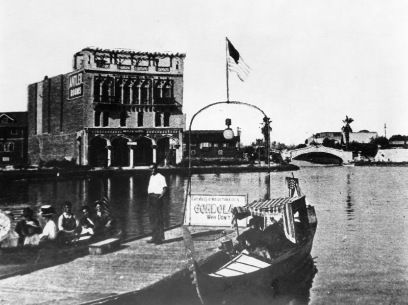 |
|
| (ca. 1905)^ - View of the Lagoon at Venice. Groups of people pay for a boat or a gondola ride on the canal. The Antler Hotel can be seen in the background to the left of the bridge over the canal. |
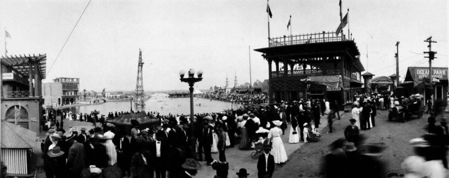 |
|
| (ca. 1910)* – View showing a crowd of people stretched from left to right between two pavilions at the Venice lagoon. The three story building in the distance (left) is the Antler Hotel. Next to it is a small bridge extending over a canal. At center, a Venice lagoon can be seen with a number of row-boats in it. What appears to be a watch tower stands in the middle of the lagoon. In the background, at center, another canal can be seen extending towards an extreme background. |
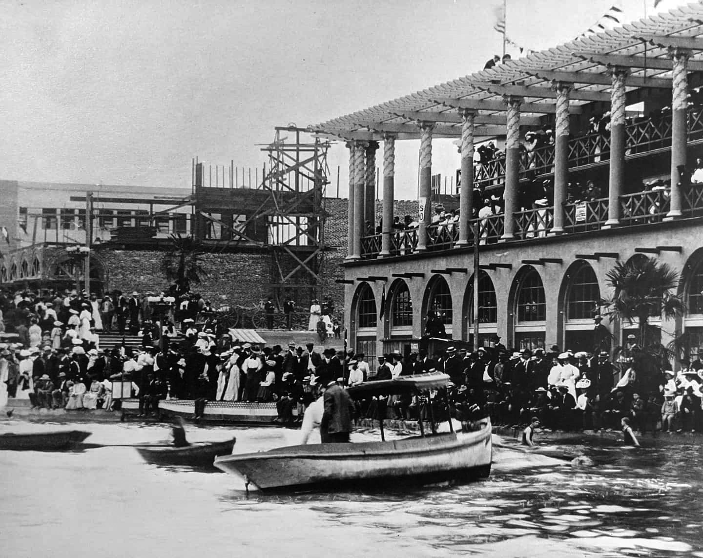 |
|
| (ca. 1910)* - Spectators watch what appears to be a row boat race in the Venice Lagoon. |
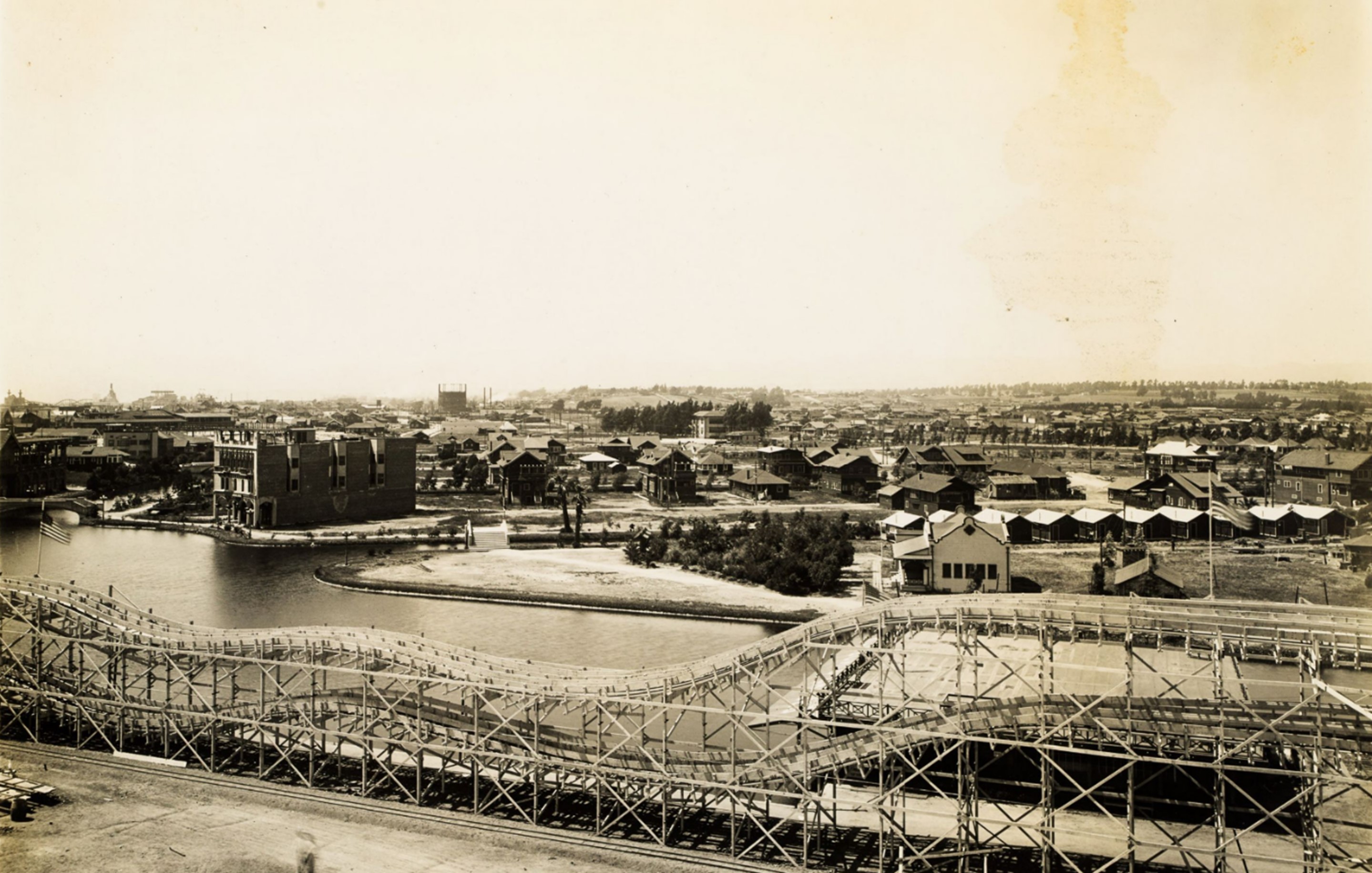 |
|
| (1910s)* - View of the Race Thru the Clouds racing roller coaster next to the Venice Lagoon in Venice, California. The Antler Hotel is visible on the left at the edge of the lagoon, with beach cottages, houses, and other buildings in the distance. Photo from the Ernest Marquez Collection. |
Historical Notes The "Race Thru the Clouds" was a prominent wooden roller coaster located at Venice Pier in Venice, California, during the 1910s. It was notable for being the first racing roller coaster on the West Coast and opened on July 4, 1911. The coaster was designed by John Miller, a renowned roller coaster designer, and was constructed by the Ingersoll Construction Company, with Thomas Prior and Frederick Church responsible for its operation and maintenance. The "Race Thru the Clouds" featured a twin-track design, allowing two coaster cars to race each other along parallel tracks. Each track was 4,000 feet long, and the coaster reached a height of 90 feet. This design provided a thrilling experience with numerous twists and turns, making it a popular attraction for visitors to Venice Beach. |
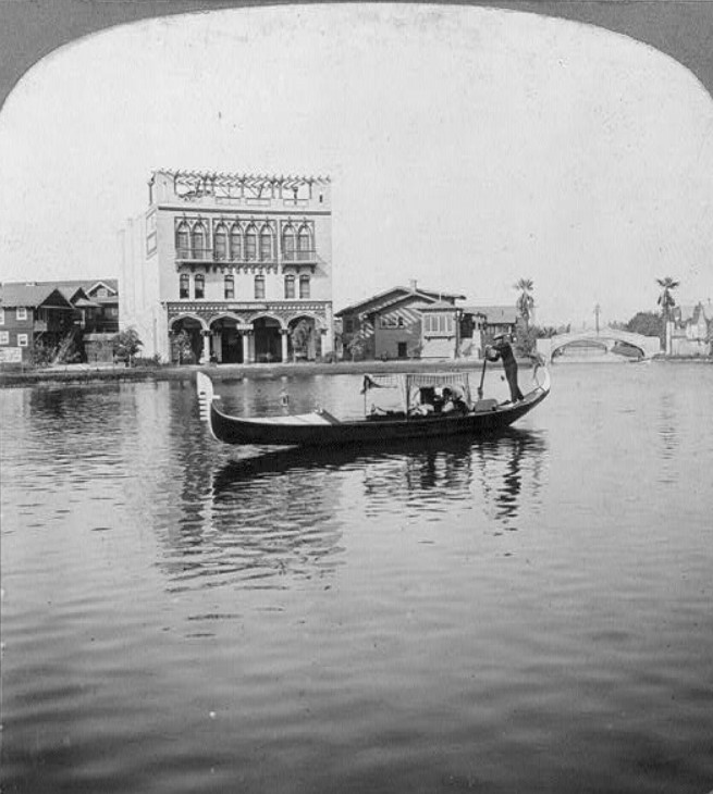 |
|
| (1913)* – Half of a stereoscopic image showing a gondola with a gondolier in the rear rowing on the Venice Lagoon. The Antler Hotel stands in the background. |
Historical Notes The Antler Hotel was a key landmark in Venice, California's early 20th-century "Venice of America" development, designed to mirror Venice, Italy, with canals and Venetian architecture. Located near the Venice Lagoon, the hotel was part of a vibrant area featuring attractions like the "Race Thru The Clouds" roller coaster. By the late 1920s, the lagoon was filled in, transforming the area into the Windward Circle. |
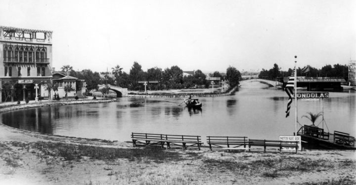 |
|
| (ca. 1910s)^ - Panoramic view showing a gondola being rowed across the canal towards the sign "Gondola" and another sign offering motor boat rides. On the left next to the water is the Hotel Antler. |
Historical Notes The canals converged on a large saltwater lagoon that later became a traffic circle. The bulk of the canals were filled in 1929 to create roads. |
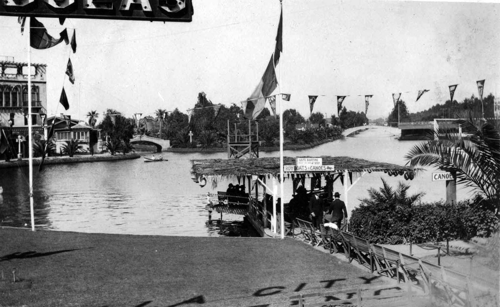 |
|
| (ca. 1910s)* - Venice Lagoon looking toward Grand Canal (right) and Lion Canal (left, later renamed Windward). In the foreground folks are patronizing a rowboat and canoe rental venue. Signage on the upper left corner of the photograph possibly advertises "gondolas." |
Then and Now
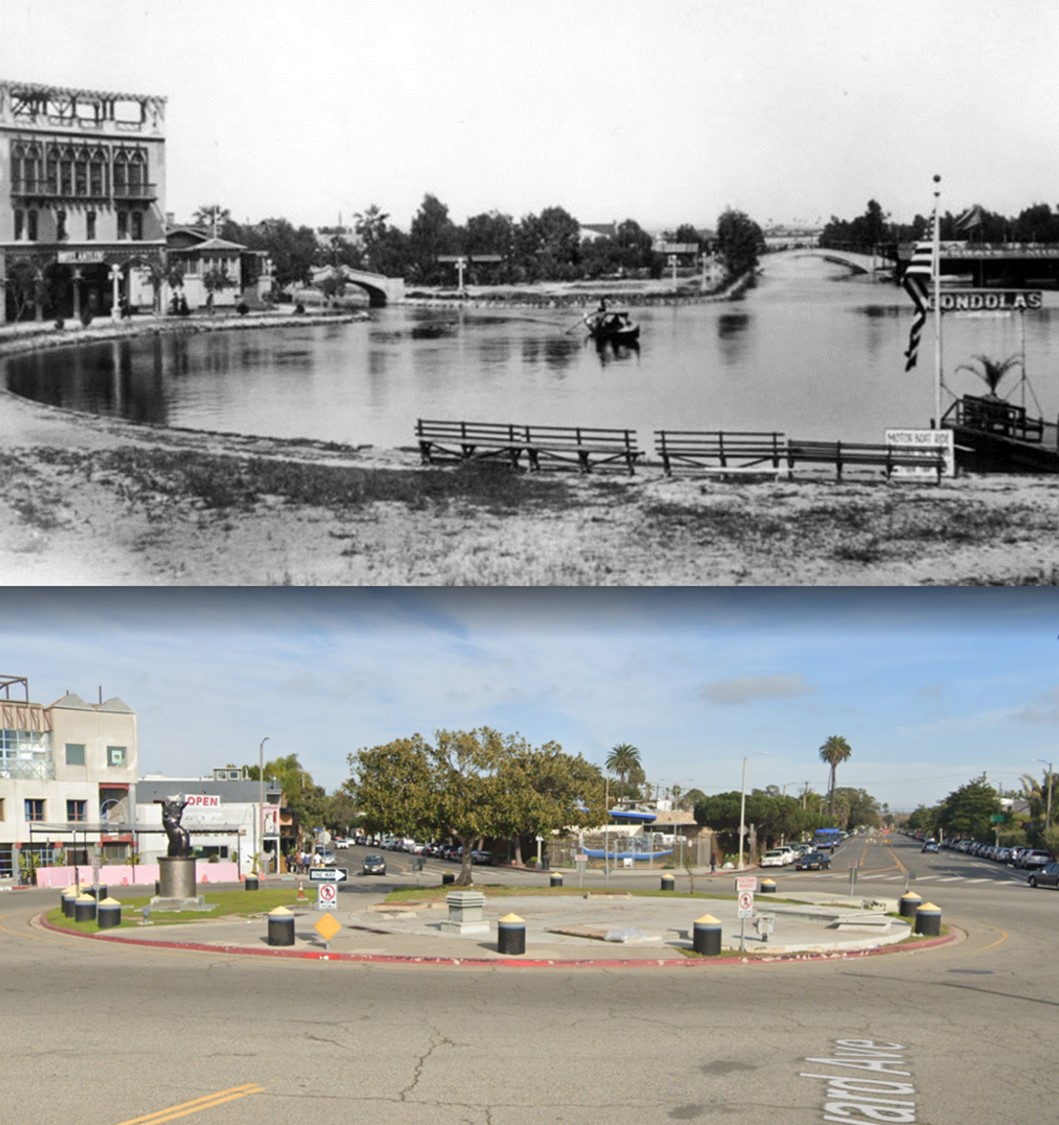 |
|
| Then and Now – Looking east showing the Venice Lagoon now the Windward Traffic Circle (1910s vs 2021)*. Windward Ave (previously Lion Canal) is on the left while Grand Blvd (previously Grand Canal) is on the right. The Antler Hotel is seen at upper-left. Photo comparison by Jack Feldman. |
Historical Notes The transformation of Venice's canals into roads was primarily driven by economic and maintenance considerations. As the canals began to deteriorate, the cost of upkeep became a significant burden for the city. Filling the canals was seen as a more economically viable solution, especially during the Great Depression, when resources were limited. This financial pressure, combined with the rise of automobile use and urban development priorities after Venice's 1926 annexation by Los Angeles, led to the widespread conversion of canals into roads. Despite resident opposition, most canals were filled, although some were preserved and later recognized as historic landmarks. |
Then and Now
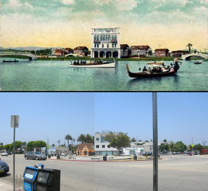 |
|
| Then and Now* – Venice Lagoon, now Windward Traffic Circle. |
Then and Now
 |
|
| (1910 vs 2020s)* - Grand Canal at the Rialto Bridge, today Grand Blvd at Rialto Avenue. |
Then and Now
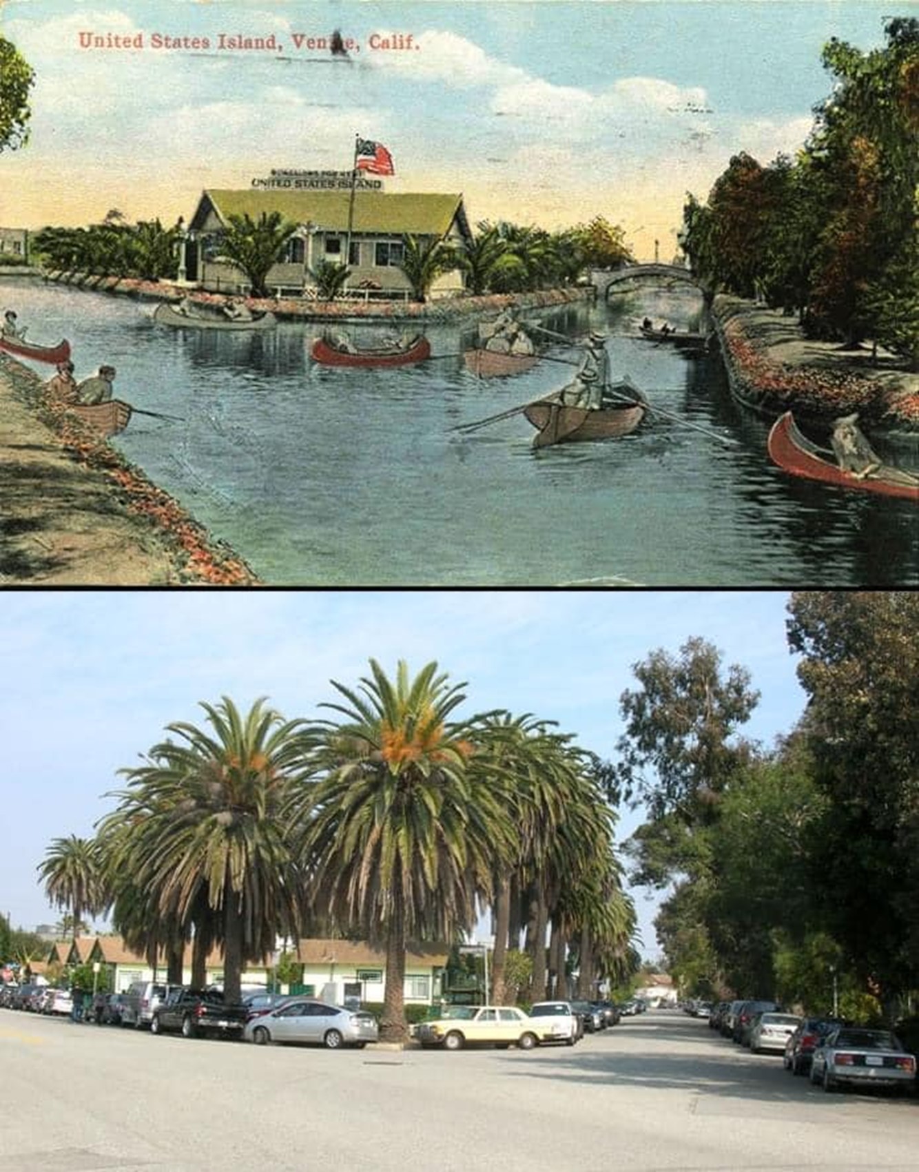 |
|
| (Then and Now)* |
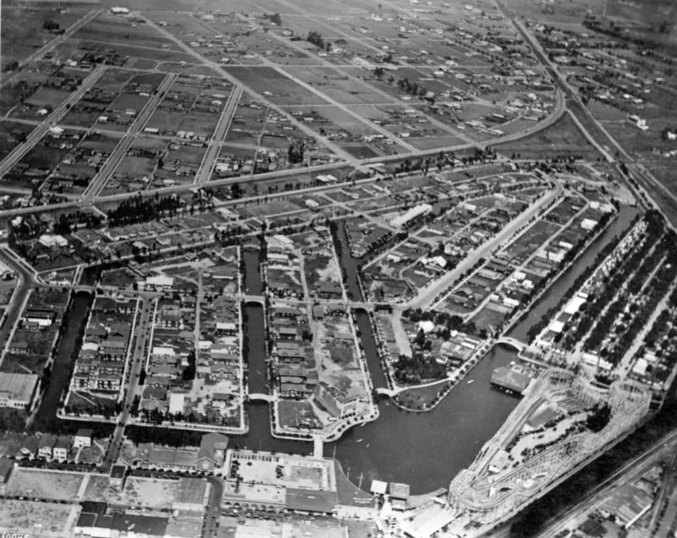 |
|
| (1920s)* - Aerial view of the Venice canals looking easterly with the Venice Lagoon at lower center-right. Note all the undeveloped land at top of photo. |
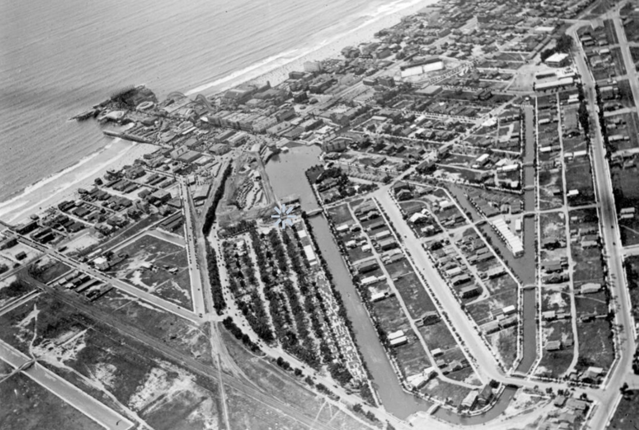 |
|
| (1918)* - Aerial view of looking west showing extent of the Venice Canals with Venice Pier at upper-left and the Venice Lagoon at top center. |
Historical Notes Before 1929, the area covered by canals was approximately three to four times as large as today. The entire area between Abbot Kinney, Pacific, and Venice Blvd. were canals. These canals were: Coral Canal (now Main St.), Cabrillo Canal (now Cabrillo Ave.), Venus Canal (now San Juan Ave.), Lion Canal (now Windward Ave.), Altair Canal (now Altair St.), Aldebaren Canal (now Market St.), and Grand Canal (now Grand Boulevard). |
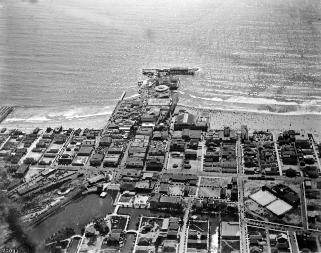 |
|
| (1918)* – Aerial view of the pier in Venice, looking west. At bottom of photo can be seen the Venice Lagoon and Canals. The Hotel Antler with its new large roof-mounted signboard can be made out at lower-left next to the lagoon. |
Historical Notes Today, the traffic circle at Pacific and Windward Avenues is located on top of what once was the Venice Lagoon. |
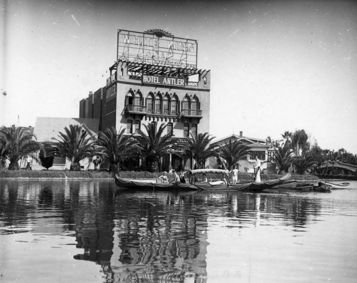 |
|
| (ca. 1920s)^ - View of gondola with several ladies on it, and a gondolier to steer, works its way across the canal. Behind them is the Hotel Antler. |
* * * * * |
Venice Miniature Railway
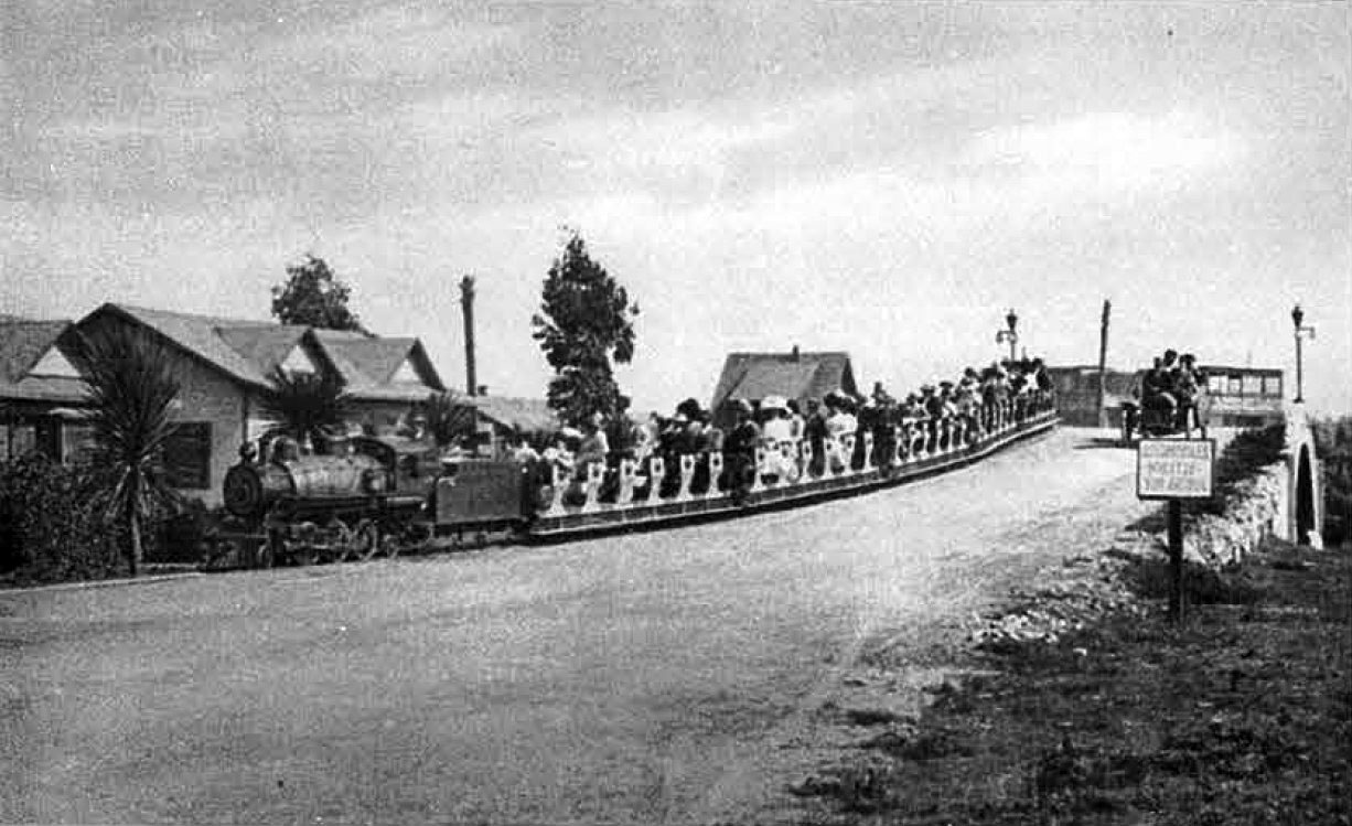 |
|
| (ca. 1905)* - View of the Venice Miniature Railway train crossing over a Venice Canal bridge on its way back to Windward Avenue at the Venice of America Amusement Park. |
Historical Notes When Abbot Kinney was building Venice in 1905, he decided that his new resort should have an internal transportation system to shuttle visitors and residents around town. He turned to John J. Coit who operated a successful eighteen inch gauge (1/3rd scale) miniature steam railroad at Eastlake Park (now Lincoln Park) in Los Angeles. He persuaded him to oversee the construction and management of a mile and three quarter long railroad that would take passengers from the Windward Avenue business district on a loop across canal bridges and through the canalled residential district, then return via a loop up Washington Boulevard, past its Lake Avenue maintenance yard and back to the Windward station along Mildred Avenue. |
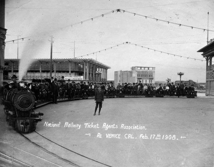 |
|
| (1908)^ - View of the Miniature Railroad Ride filled to capacity at the Venice Amusement Park. |
Historical Notes The cost of a trip around Venice was five cents, although residents could buy a book of tickets for $1.00 which made the run only two cents. At that time, it cost 15 cents to ride from Los Angeles to Venice on the Los Angeles Pacific Railway. |
 |
|
| (1910s)* – View looking west down Windward Avenue towards the ocean showing the Venice Miniature Railroad. |
Historical Notes Kinney installed the Venice Miniature Rail Road (V.M.R.R.) as both a tourist attraction and as a means to escort potential home builders and buyers to look at the subdivided parcels he was promoting. The train was very popular for its time, but it interfered with traffic. |
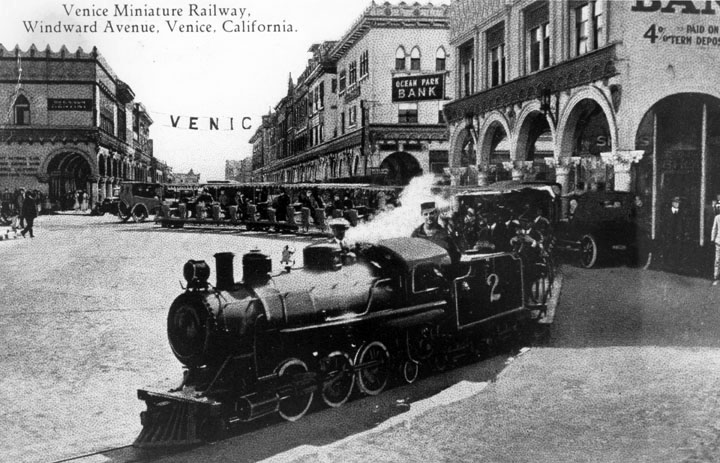 |
|
| (1912)* - Postcard view of the Miniature Railway on Windward Avenue in Venice. The miniature railroad would carry passengers for trips around the Venice streets, including Windward Ave. as shown here, and around the canal area. |
Historical Notes The Venice Miniature Railroad remained a popular ride and had run on weekends for twenty years. However, the train was opposed by merchants along its route on Washington Boulevard. In 1925, the city of Venice passed an ordinance that would prohibit miniature railroads from operating on streets, thus leading to the demise of the long running Venice Miniature Railroad. Click HERE to see more in Early Southern California Amusement Parks. |
* * * * * |
Windward Avenue |
Windward Avenue was the heart of Abbot Kinney’s ambitious “Venice of America,” a grand experiment that brought a touch of European spectacle to the Southern California coast. When the resort opened in 1905, this short but lively street connected the Venice Lagoon to the Pacific Ocean, serving as both the main commercial corridor and the ceremonial gateway to the new city.Lined with ornate arcades, hotels, theaters, and shops, Windward Avenue quickly became one of the most recognizable and heavily visited streets in Southern California. Visitors arrived by streetcar and on foot, drawn by the novelty of canals, gondolas, and seaside attractions. Over the decades, the avenue evolved with changing tastes and economic cycles, yet it has remained the symbolic center of Venice, linking its early resort origins to the vibrant beachfront community seen today. |
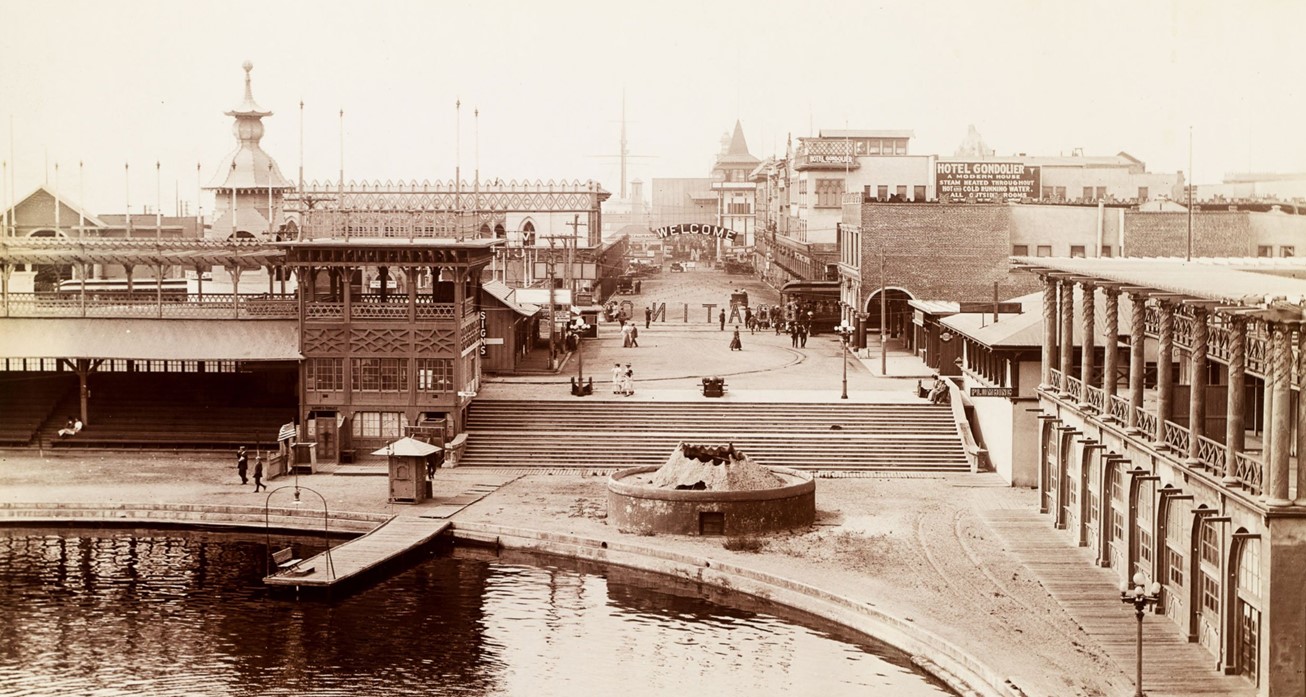 |
|
| (ca. 1906)* – View of Windward Avenue from the Venice Lagoon, with the Abbot Kinney Pier, Ship Café, and Auditorium visible in the distance. A sign reads: 'Hotel Gondolier, a modern house, steam heated throughout, with hot and cold running water.' The u-shaped tracks of the Venice Miniature Railroad are seen at the center of the image, with a streetcar stopped toward the center-right. Photo from the Ernest Marquez Collection. |
Historical Notes Windward Avenue extended from the Venice Lagoon (now Windward Circle) to the Pacific Ocean, serving as the primary route for visitors moving between the canals and the pier. In its early years, the avenue functioned as both a commercial corridor and a promenade, with attractions, shops, and transportation converging along its length. |
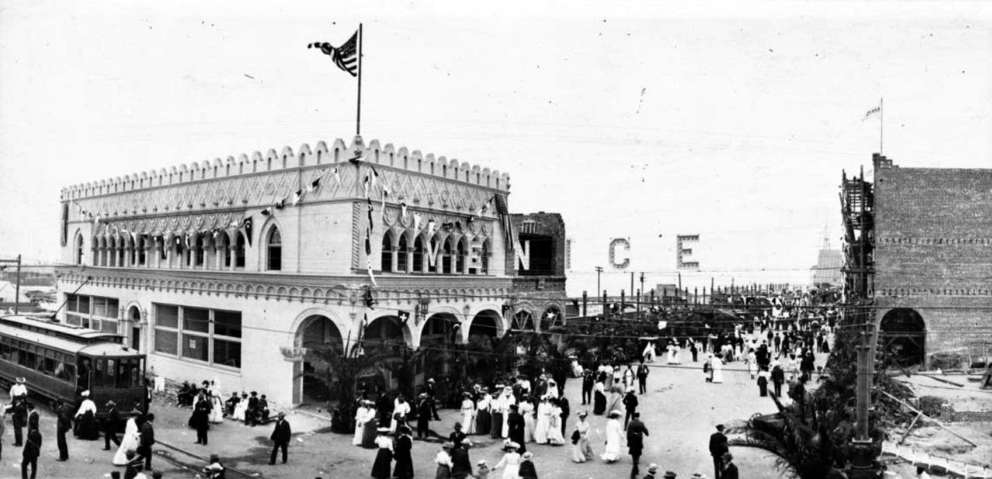 |
|
| (ca. 1905)* - Panoramic view showing a streetcar passing by a crowded pier in Venice. A wide walkway intersects perpendicularly with the train tracks, and hundreds of people can be seen walking on the road. This would be called Windward Avenue, also known as "The Gateway to Venice." |
Historical Notes In 1905, the founding year of Venice, Windward Avenue was two blocks long, stretching between the canal system and the pier, lined with hotels that featured hot salt water in every room. |
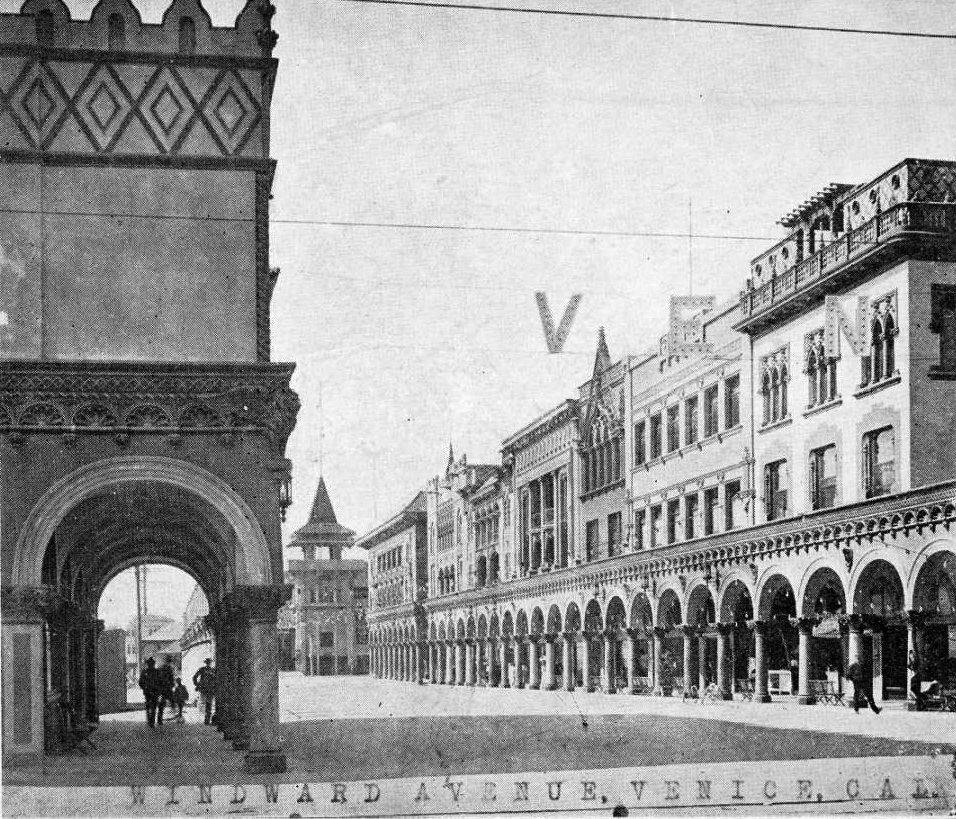 |
|
| (ca. 1905)^^ - Postcard view looking east on Windward Avenue in Venice. |
Historical Notes The Venice, Italy-inspired architecture of Windward Avenue was the whole advertising gimmick which brought Angelinos from downtown out to the Venice Beach area in the first place (back in 1905! It was quite a trek back then; a good gimmick was definitely NEEDED to pull folks away from the then-popular Downtown LA district. |
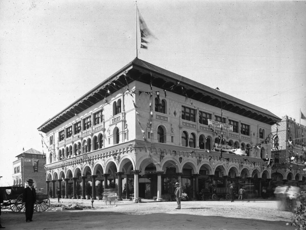 |
|
| (1905)^^ - View showing the newly constructed Saint Mark's Hotel on Windward Avenue at Ocean Front in Venice. The 3-story building has a two colonnades topped with arches supporting the roof over the sidewalk on two sides. Streams of banners fly from the roof of the hotel. |
Historical Notes Ground was broken for the St. Mark's Hotel on December 5,1904. It was one of Venice's original buildings and stood until 1964 when it was demolished. |
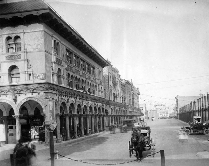 |
|
| (1906)^ - View looking west on Windward Avenue with the St. Mark's Hotel at left. A horse-drawn wagon is in the foreground. |
Historical Notes In 1906, Windward Avenue was built-up on the north side, but not the south side. The south side didn't really come into its own until prohibition came along and fancy basements were constructed.^ |
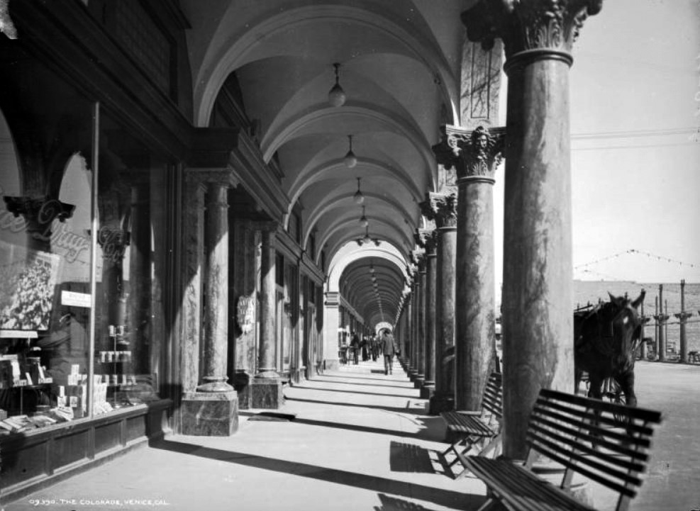 |
|
| (ca. 1906)^ - View of the colonnade at St. Mark's Hotel in Venice showing pedestrians on the sidewalk, a horse, wooden benches, and a man behind a window. Signs read: "(?) Drug Co." "Ice cream" "Hotel Saint Mark." |
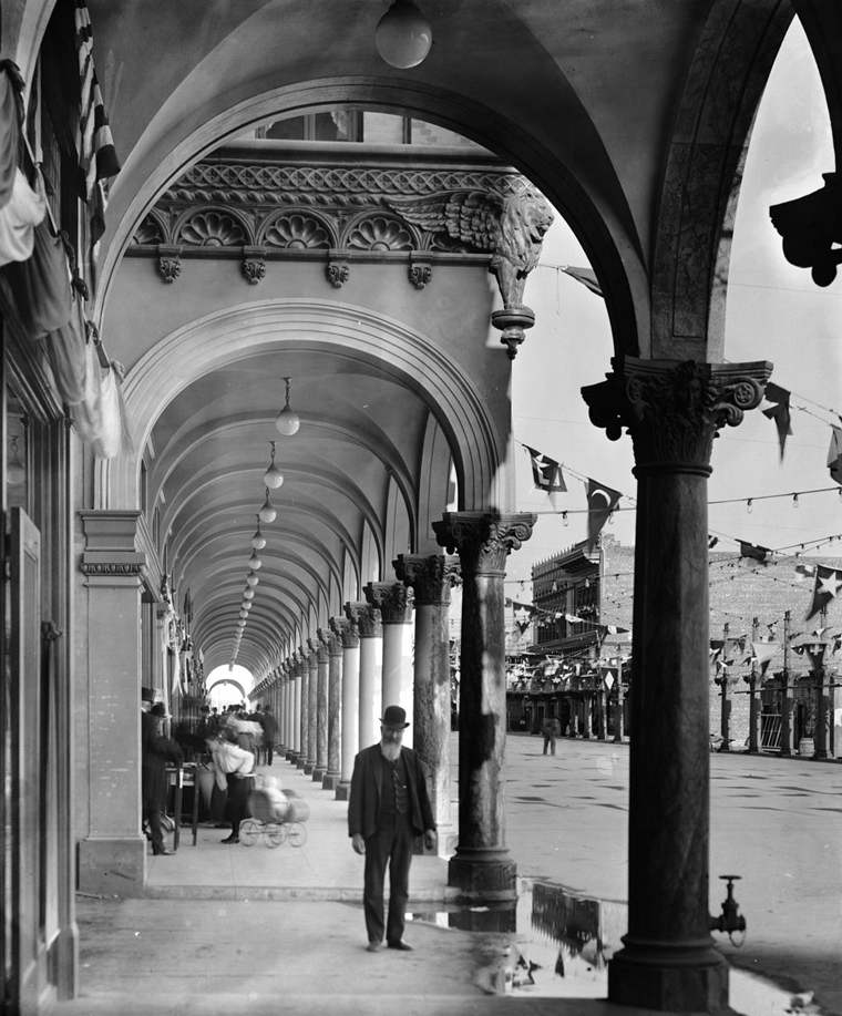 |
|
| (ca. 1906)* - View of the Saint Mark's Hotel on Windward Avenue in Venice Beach. An outdoor corridor houses a street arcade. A man with a beard stands in the foreground near one of the many pillars and arches forming the corridor. |
Historical Notes The colonnade, made up of dozens of Corinthian columns supporting Venetian-style arcade buildings on Windward, Pacific, and Market avenues, still serves as the gateway to the city and is one of Venice's most recognizable landmarks. |
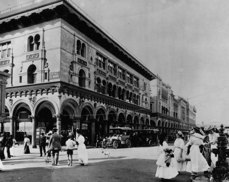 |
|
| (ca. 1906)^ - A corner view of the exterior of a business building on Windward Avenue in Venice which includes the St. Mark's Hotel. |
Historical Notes When Venice was constructed in 1905, the business district utilities were placed underground in two tunnels running beneath the alleys on either side of Windward Avenue. The two tunnels originated at the heating plant and powerhouse located on Windward near the lagoon (current site of the B of A building near the traffic circle). In addition, some hotels along Ocean Front Walk constructed tunnels beneath the promenade to the beach because an ordinance forbid bathing suits on the boardwalk. The St. Mark's Hotel at the corner of Windward was one. During Prohibition in the 20's, rum runners would unload their booze from boats beneath the pier and sneak them into the St. Mark's tunnel. |
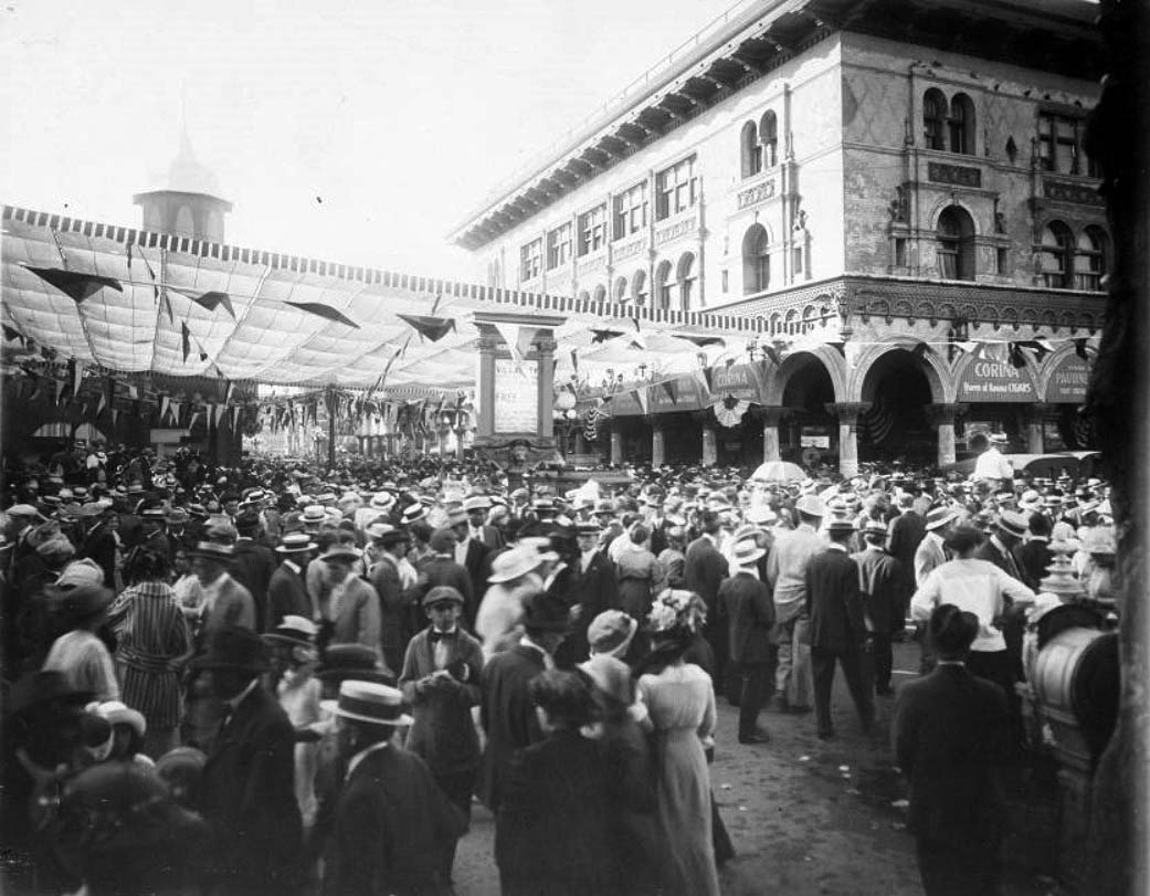 |
|
| (ca. 1910)* – View showing a large gathering of people in front of the St. Mark's Hotel. |
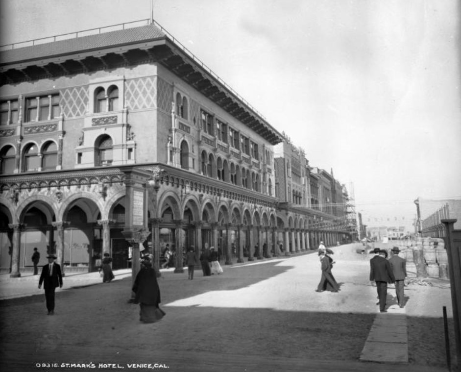 |
|
| (ca. 1910)* - Pedestrians walk in the street near St. Mark's Hotel. The Romanesque style building has arched windows and an arched colonnade. Signs read: "Venice Events, Dancing" and "Venice." |
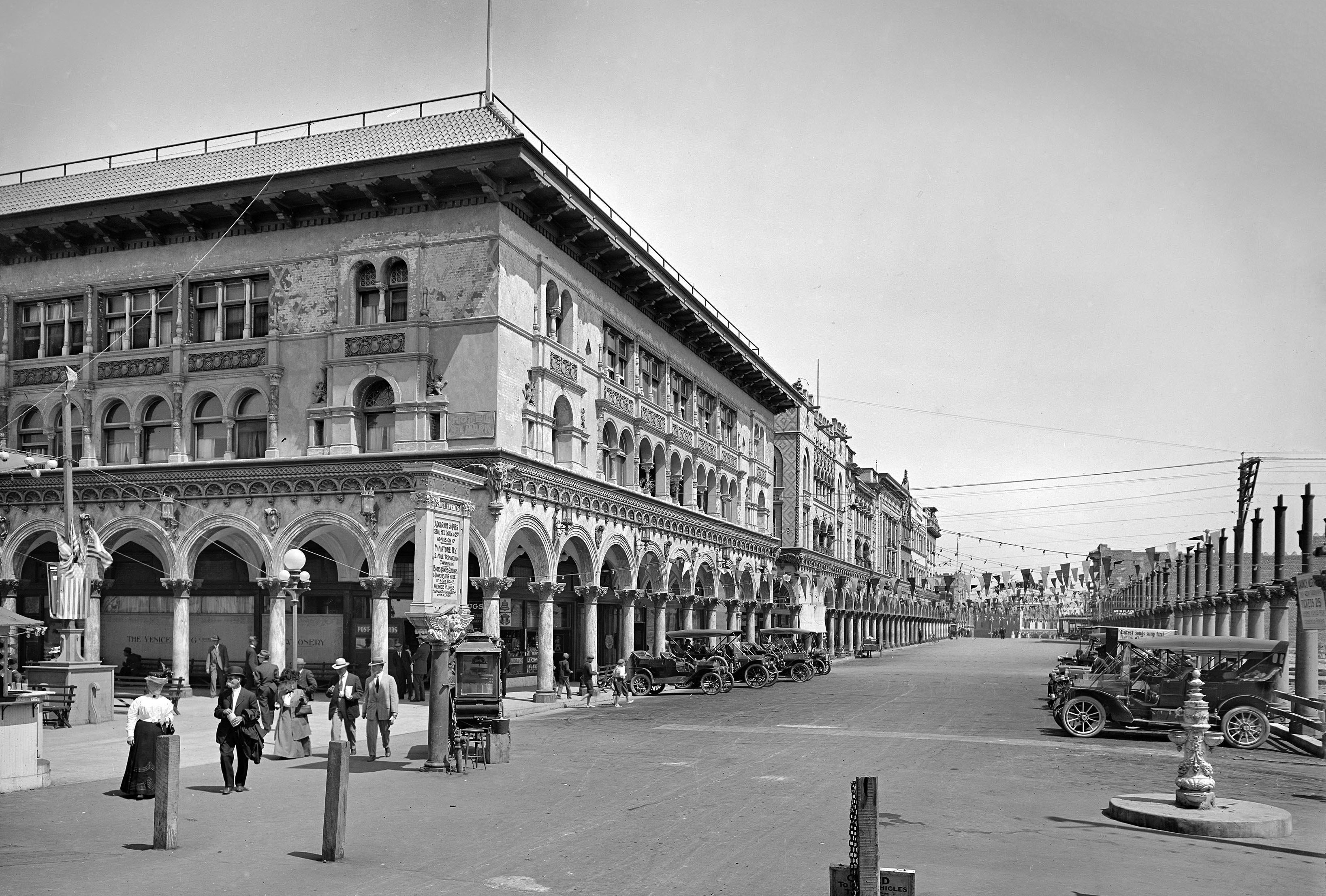 |
|
| (ca. 1912)* - A corner view of the St. Mark’s Hotel and the colonnade with its Corinthian columns extending two blocks down Windward Avenue. Photo: Library of Congress |
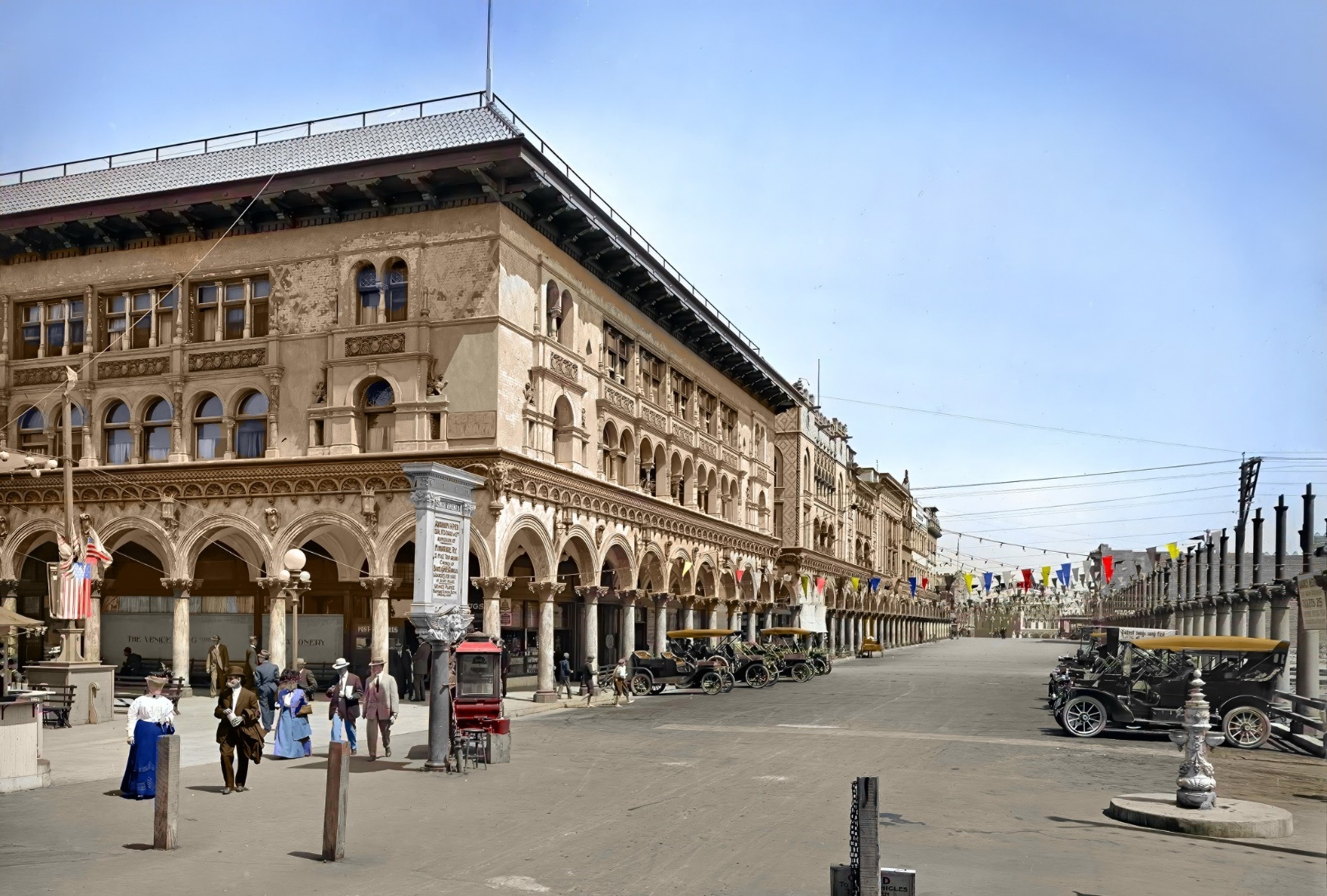 |
|
| (ca. 1912)* - A corner view of the St. Mark’s Hotel and the colonnade with its Corinthian columns extending two blocks down Windward Avenue. Photo: Library of Congress; Image enhancement and colorization by Richard Holoff |
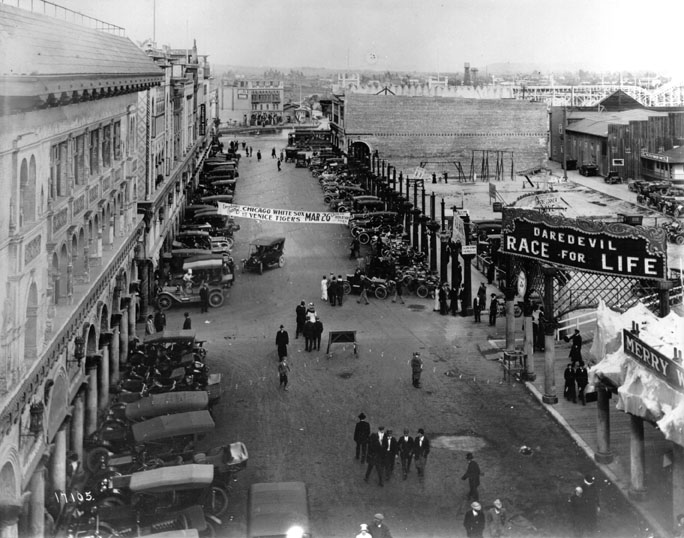 |
|
| (1913)^ - Looking from a roof at the end of Windward in Venice, one can see the street below and in the distance the piers along the ocean. A banner across the street announces a baseball game between the Chicago White Sox and the Venice Tigers. Click HERE to see more on the Venice Tigers in Baseball in Early L.A. On the right hand side of the street you can enter attractions such as the Daredevil Race for Life and the Merry Widow. |
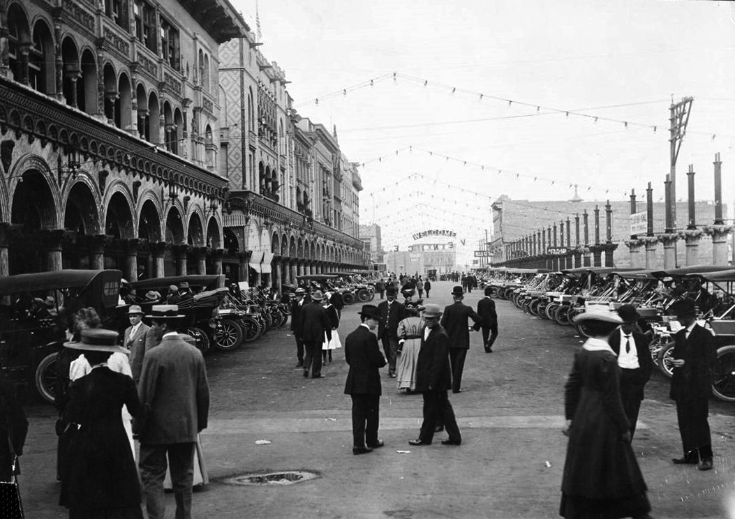 |
|
| (ca. 1915)* – View looking west on Windward Avenue showing well-dressed men and women walking down the center of the street. Buildings on the right have yet to be completed. |
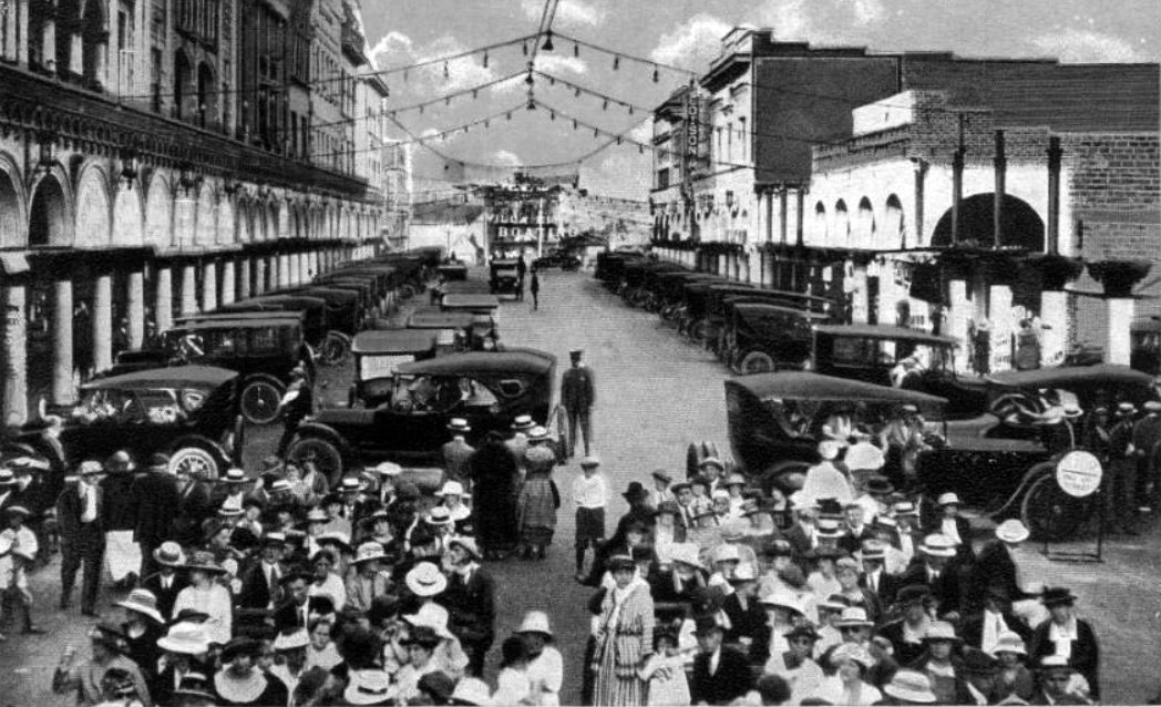 |
|
| (ca. 1920)* – Postcard view showing a large group of people waiting in line on Windward Avenue, Venice. The street behind is full of parked vehicles. |
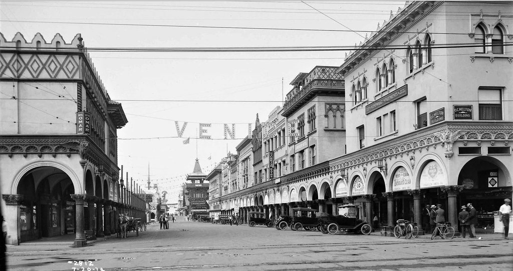 |
|
| (1914)* – View looking west on Windward Avenue showing a Turkish Bath House, theaters, an apartment house, automobiles, motorcyle, and bicycles parked along the street. The Hotel Omar is seen at left. |
.jpg) |
|
| (ca. 1910s)* – Sailors on shore leave venture down Windward Avenue in Venice. |
.jpg) |
|
| (1914)* – Detailed view looking west on Windward Ave with double decker bus seen on the left. Autos, motorcycle, and cars are parked on the right in front of the Windward Apartments. |
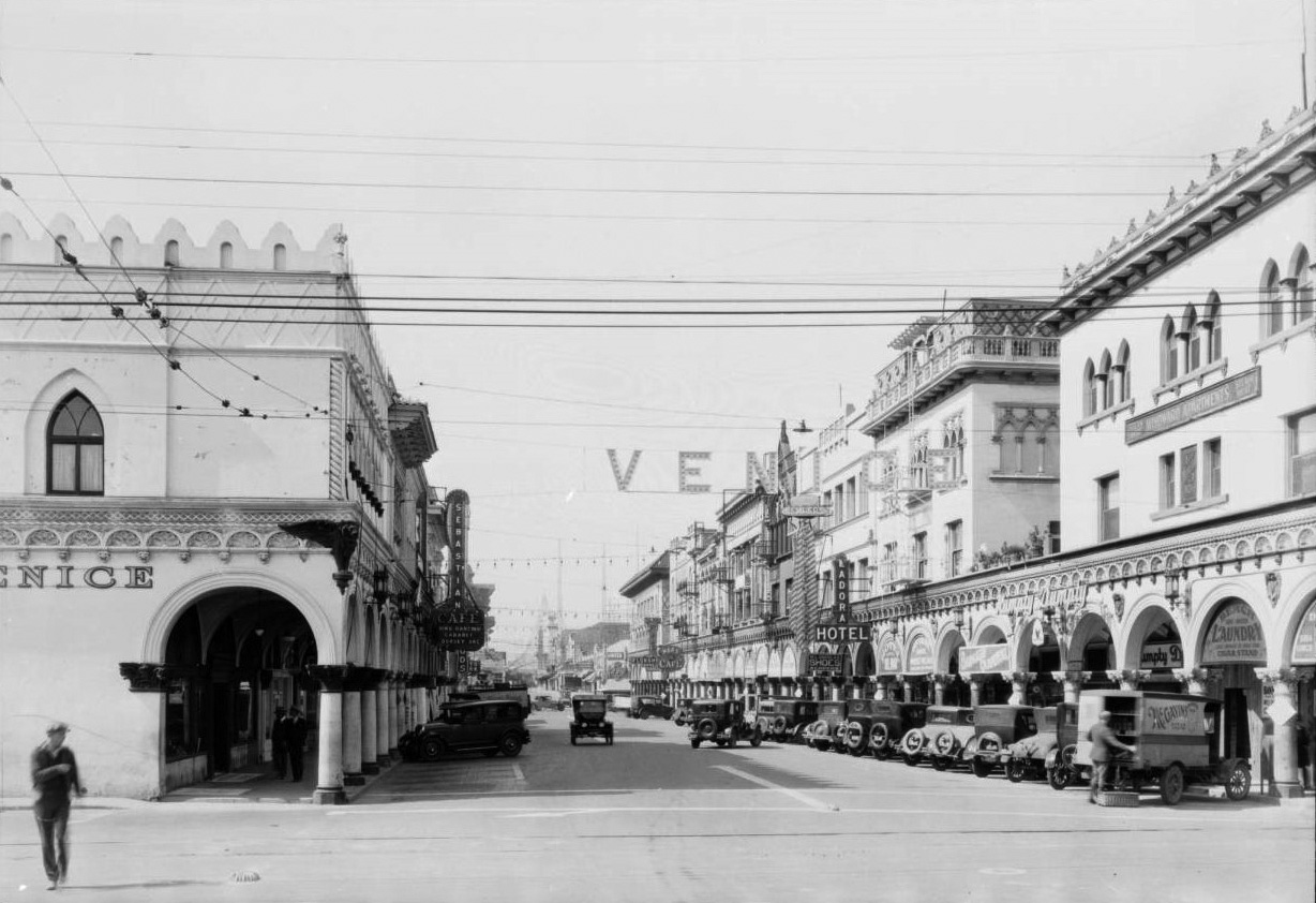 |
|
| (ca. 1929)^^ - View looking west of Windward Avenue in Venice Beach, showing cars parked diagonally along the side of the road. The two-lane paved street runs is lined by two-story buildings at left and three-story buildings at right. Both sets of buildings have covered arcades in front of them. The buildings are light-colored and house shops, hotels, and restaurants. A sign that says "Venice" is suspended over the street. Legible signs include, from left: "Sebastian Café Ming Dancing Cabaret Dorsey Orc.", "The Florsh Shoe", "United", "Mars Café", "Ladora Hotel", "W. L. Douglas Shoes", "Hotel Del Mar", "Men's Wear", "Humpty Dumpty", "Beach Soft Water Laundry Cigar Stand". |
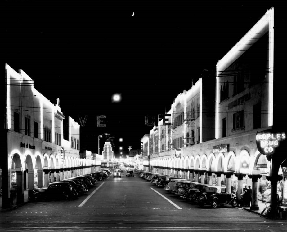 |
|
| (1939)* – View showing a brightly lit Windward Avenue at night. Photo by Dick Whittington |
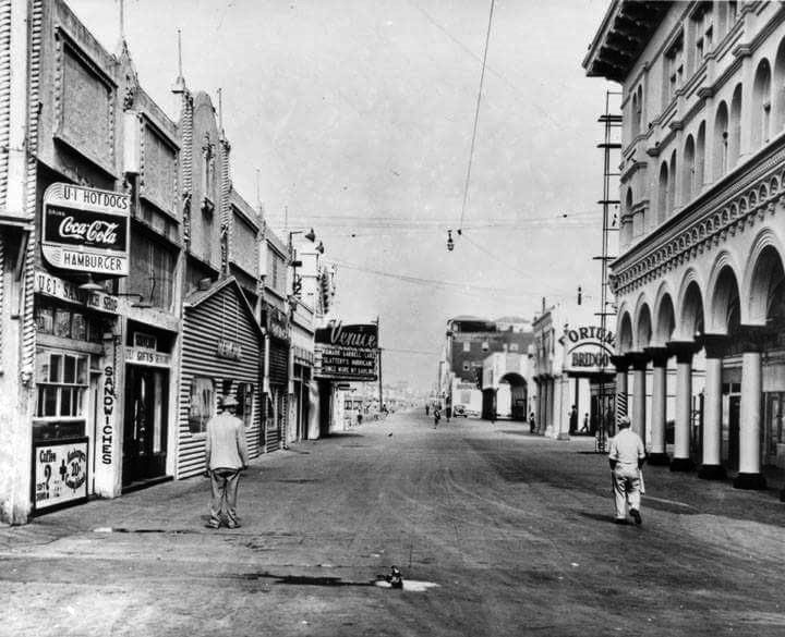 |
|
| (1949)^ – Two men are seen walking along a near-empty Ocean Front at Windward Avenue. The St. Mark's Hotel is on the right (NE Corner) and In the distance can be seen the Venice Theater*. |
Historical Notes The Venice Theatre opened in 1920 as the California Theatre on the water side of Ocean Front Walk. The location was between Windward Avenue and Market St. (formerly called Zephyr). In the 1923-24 directory it's listed at 1506 Ocean Front Walk. |
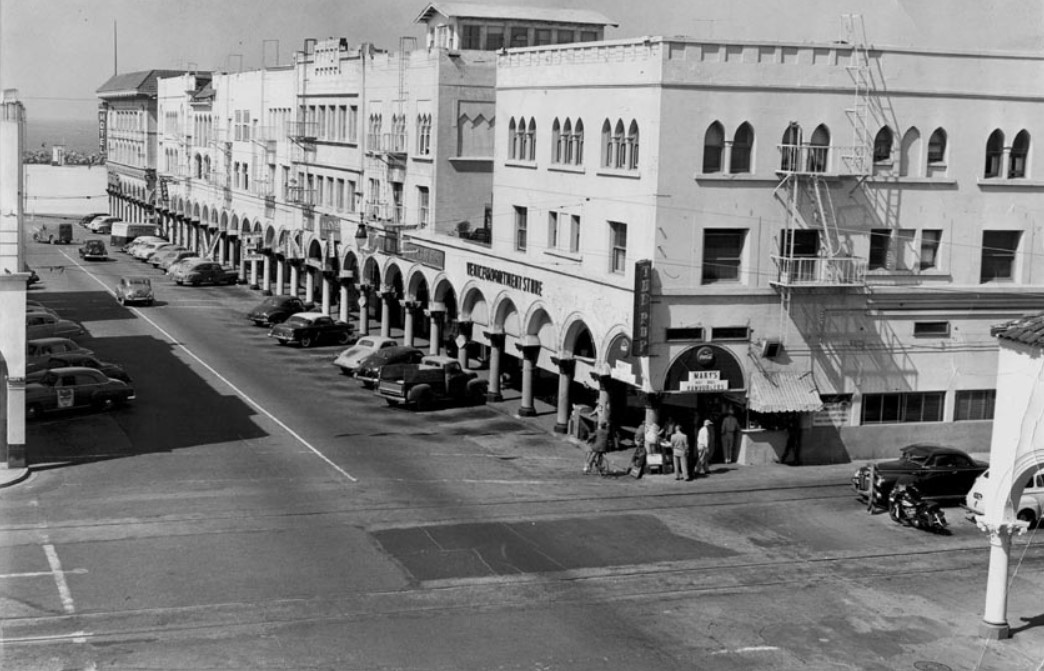 |
|
| (1953)^ – View looking west at Windward Avenue in Venice – Looking towards site of pier. |
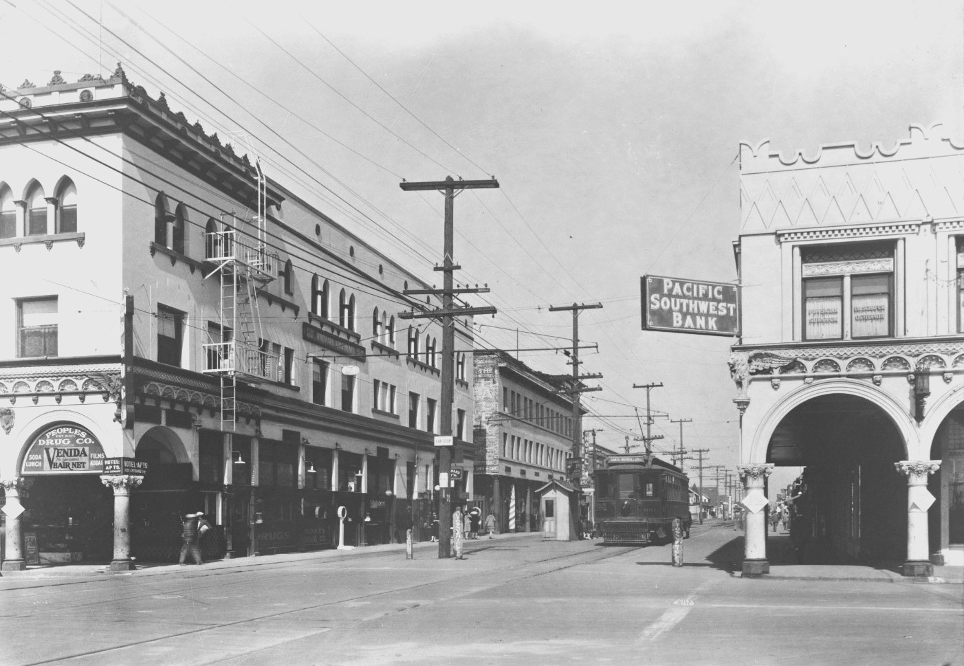 |
|
| (n.d.)* - Windward and Trolley Way (Pacific Avenue) with Pacific Southwest Bank on the right, People's Drug Store and Windward Apartments on the left. |
Historical Notes On plat maps for the neighborhood Trolley Way is also referenced as Electric Avenue, which makes sense as the train cars operating on it were electric. |
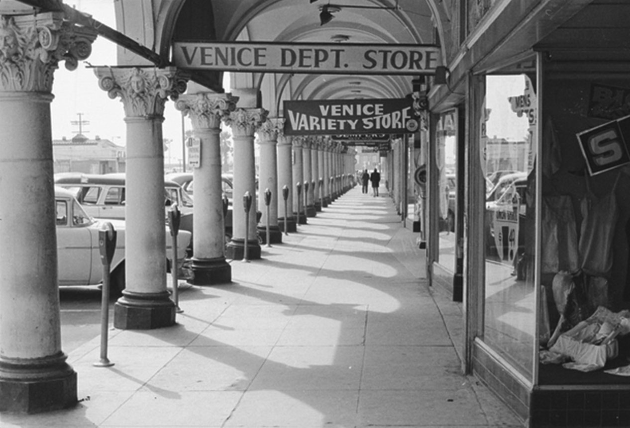 |
|
| (1950s)* - Windward Avenue in Venice Beach...mid 1950's. |
Then and Now
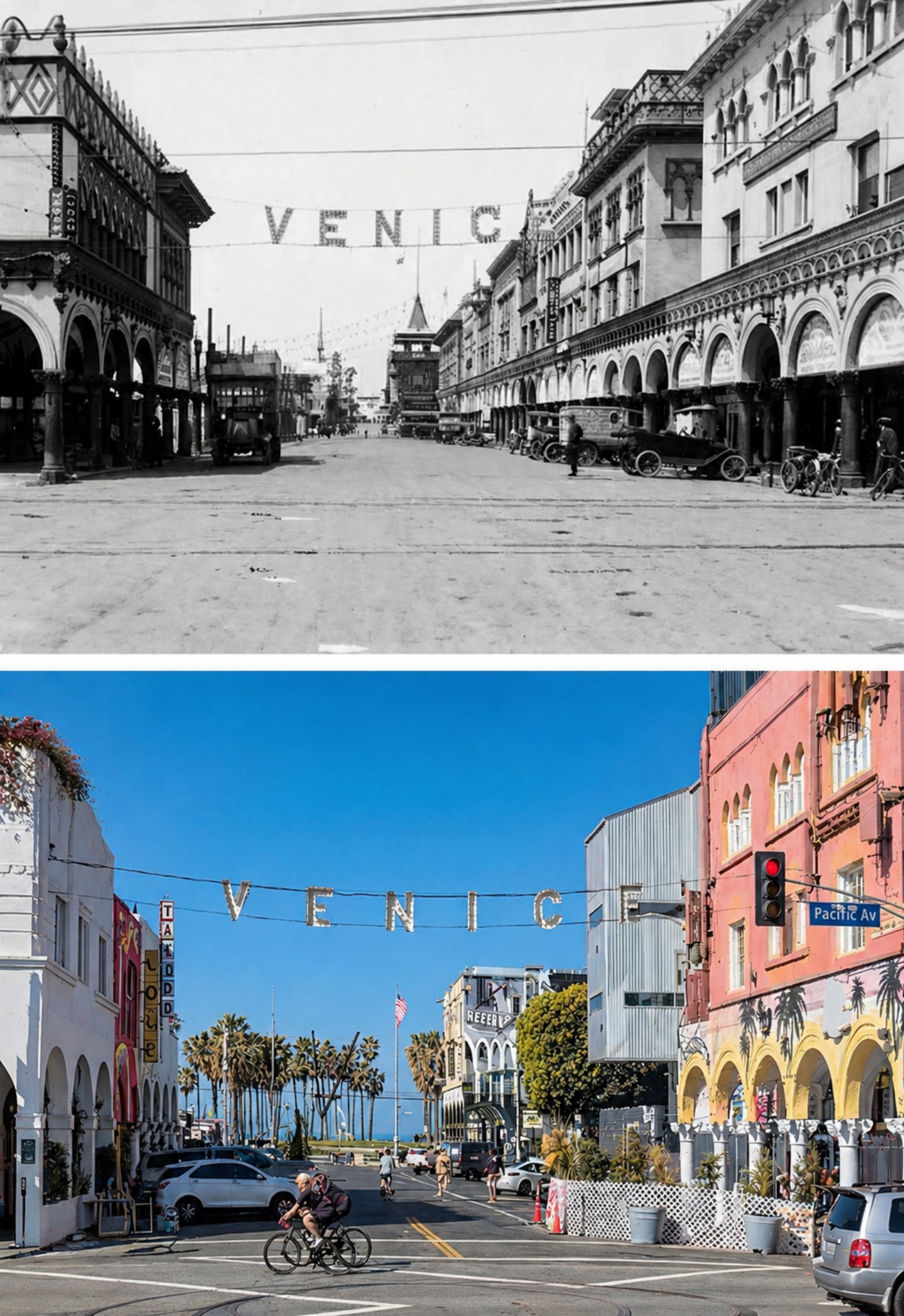 |
|
| (1914 vs 2023)* - Windward Avenue looking west at Pacific Avenue. Photo comparison by Jack Feldman. |
Then and Now
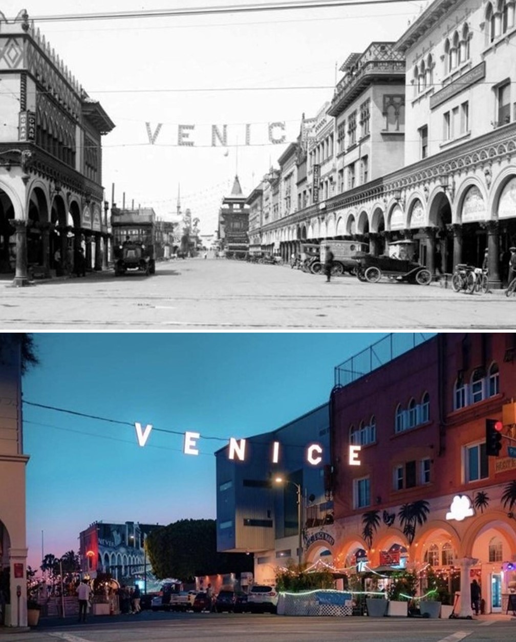 |
|
| (1914 vs 2023)* - Windward Avenue looking West. Contemporary image taken by @mileschatterji. Photo comparison by Jack Feldman. |
* * * * * |
Ocean Front Walk and Windward
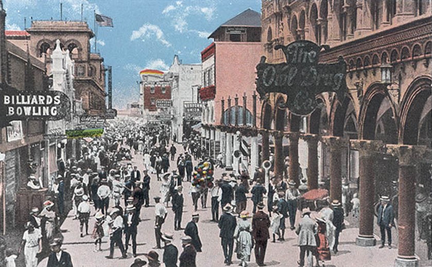 |
|
| (ca. 1921)* – Postcard view looking north on Ocean Front Walk from Windward Avenue. That green thing sticking out on the left just beyond the "Billiards Bowling" sign is the marquee of the California Theatre. You can see a bit of the big white arch of the facade. The large structure just beyond the theatre is the Plunge, once advertised as the largest indoor saltwater pool in the world. On the right it's the St. Mark's Hotel at Windward and Ocean Front. Down in the next block on the right there's a glimpse of the arches of the facade and the protruding signage at the Neptune Theatre. |
Historical Notes In the early 1920s this stretch was the show window of “Venice of America,” lined with arcades, hotels, cafés, and amusements that Abbot Kinney had clustered at the foot of Windward Avenue. At left, the green blade sign marks the California Theatre, which opened July 1, 1920 on the water side of Ocean Front Walk, built on the former site of the scenic railway. Just beyond stood the Venice Plunge, a vast indoor salt-water bath house; contemporary sources described a 150×100-foot pool and roughly 1,500 dressing rooms to handle the crowds. On the right is the St. Mark’s Hotel; a block up on the right you can glimpse the arches and projecting sign of the Neptune Theatre, a vaudeville and movie house that first opened as Hyman’s Theatre in 1911. The postcard freezes Venice at a peak moment: only months earlier (December 20, 1920) a fire had destroyed the wooden Abbot Kinney Pier at the end of Windward Avenue, but Ocean Front Walk carried on as the district’s main midway. |
 |
|
| (1923)* - Firefighters march in parade on Ocean Front Walk in Venice. Neptune Theatre in background, Strand Cafe and Mecca Cafe in foreground. |
Historical Notes Holiday and publicity parades were constant on Ocean Front Walk during the 1910s–30s—a mix of marching bands, floats, lifeguards, athletes, and film personalities—staged to bring crowds to the arcades and cafés along the colonnades. This 1923 view, with the Neptune Theatre behind the line of firefighters and restaurants like the Strand and Mecca in front, captures how civic spectacle and seaside commerce fed each other: Ocean Front Walk doubled as both promenade and parade route, and Windward Avenue was often roped off for street carnivals. |
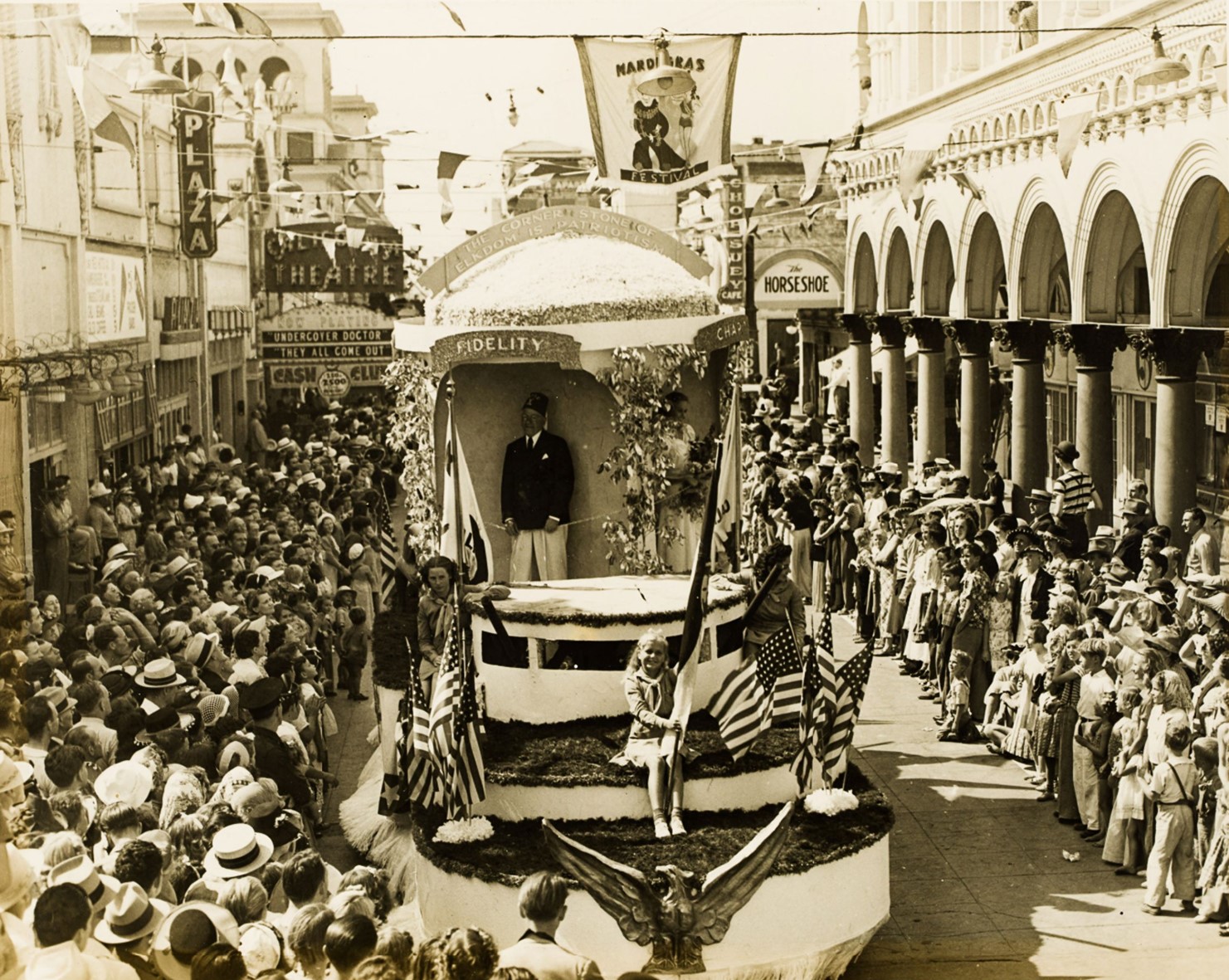 |
|
| (1939)* - A Mardi Gras Festival parade on Ocean Front Walk near Windward Avenue in Venice, with the colonnades of the St. Mark’s Hotel visible on the right. Signs along the parade route include ‘Undercover Doctor’ and ‘They All Come Out’ on a movie marquee, as well as 'Plaza,' 'The Horseshoe,' 'Chop Suey Cafe,' 'California Theatre,' and 'Mardi Gras Festival.' A float in the parade displays the message 'The cornerstone of Elkdom is patriotism, fidelity, [charity?],' featuring a girl, young women, and an Elks member wearing a fez. Photo from the Ernest Marquez Collection. |
Historical Notes Venice launched its own summer Mardi Gras Festival in August 1935, modeled after New Orleans but timed in August to draw beach crowds. Pageantry included the arrival of King Neptune by outrigger canoe, the coronation of Queen Venetia, and parades along Ocean Front Walk and Windward with entrants wearing enormous papier-mâché heads crafted in local studios. By 1941 the festival ran four days and drew press estimates of about 500,000 before World War II ended the tradition. The film titles on the California Theatre marquee here—Undercover Doctor (1939) and They All Come Out (1939)—help pin the date of this photograph to the ’39 season. |
 |
|
| (1939)* - A Mardi Gras Festival parade on Ocean Front Walk near Windward Avenue. Photo from the Ernest Marquez Collection. |
Historical Notes By the late 1930s, Venice’s Mardi Gras had become a regional draw, mixing beauty pageants, street carnivals, and elaborate floats with seaside amusements. Costumed entrants and masked performers processed beneath the Windward colonnades and past theaters, cafés, and game halls, advertising the very businesses that sponsored the festivities. The crowds—and the revenue—were central to keeping the Ocean Front Walk entertainment zone humming on summer weekends. |
 |
|
| (1937)* - Looking north on Ocean Front Walk with The Plunge just beyond and the beach off to the left behind the California Theatre. |
Historical Notes The California Theatre sat on the water (west) side of Ocean Front Walk between Windward and Market Street (Market had been called Zephyr until 1925). It anchored a block of amusements that also included the now-vanished Plunge just beyond it. Address listings in the early 1920s place the theatre around 1506–1508 Ocean Front Walk; it later rebranded as the Venice Theatre in the 1940s. Photographs from the late 1930s show a streetscape of arcades and two- and three-story façades whose plaster and pressed-brick details echoed the Venetian theme. |
 |
|
| (1949)* - A look north on Ocean Front Walk towards Ocean Park. Far down on the left is the Venice Theatre (formerly the California Theatre), and on the right is the St. Mark's Hotel. |
Historical Notes After World War II the seaside resort slid into neglect as Los Angeles consolidated control (Venice voted to merge with L.A. in November 1925; consolidation followed in 1926), piers were removed or closed, and code enforcement squeezed aging buildings. The Venice Theatre was still operating in 1949, but the Plunge had already come down; the Abbot Kinney Pier had been dismantled in 1946. Within a few years, the city cleared the entire west/ocean side of this block, including the theatre. |
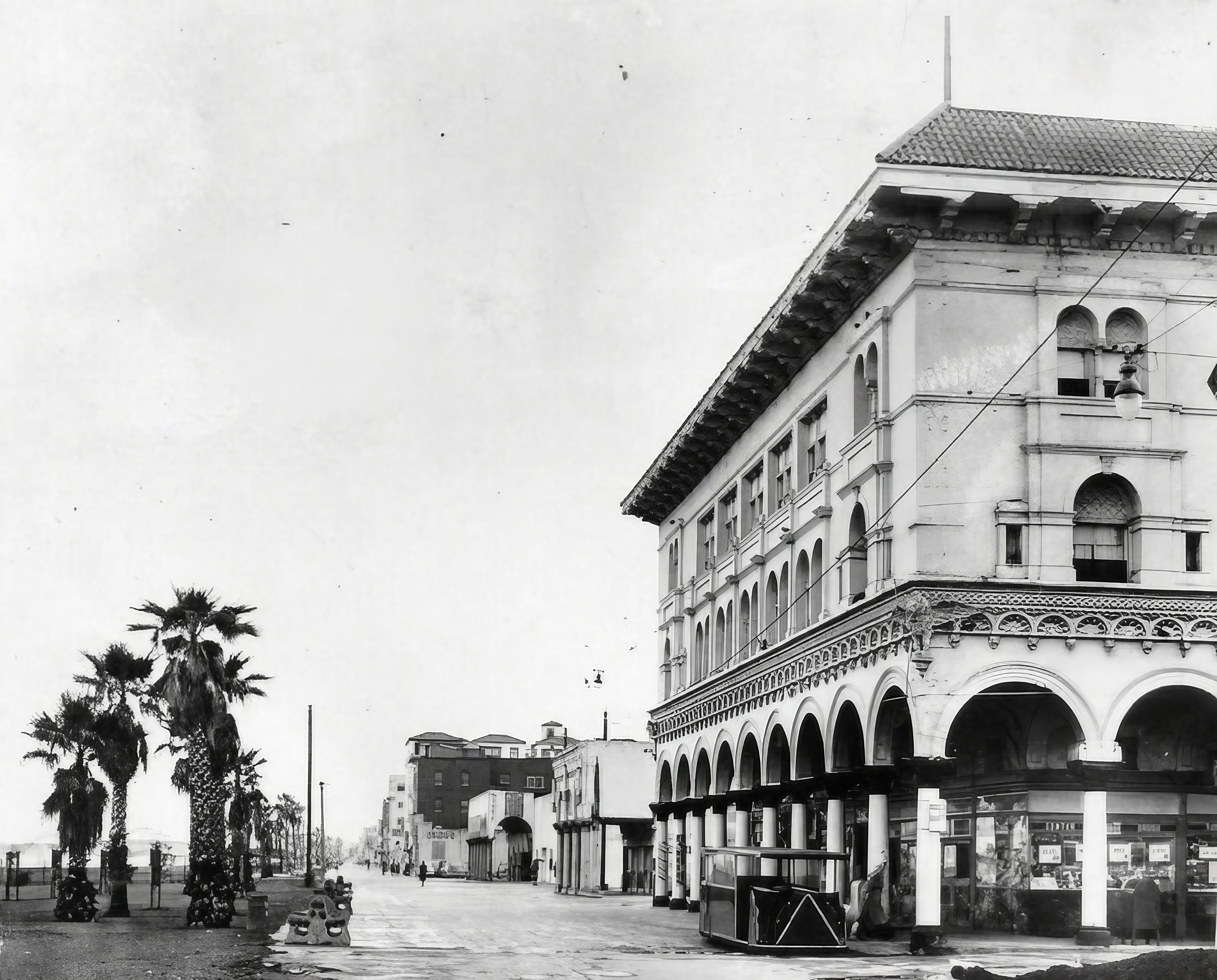 |
|
| (1955)* - Looking north on Ocean Front Walk at Windward Avenue. On the corner on the right is the St. Mark's Hotel, with a drug store filling the street level rooms. An empty tram car sits on the corner by the hotel. Note: All the buildings on the left (ocean side) have been demolished. |
Historical Notes This scene shows the aftermath of early-1950s urban renewal on the ocean side: the California/Venice Theatre and its neighbors were demolished in 1952 as part of a plan to widen the beach and open views. On the inland side, the St. Mark’s Hotel still stood in 1955, but it was removed during the mid-1960s wave of demolitions that leveled hundreds of Venice buildings. The vacant west side would later be landscaped into Windward Plaza Park. |
Then and Now
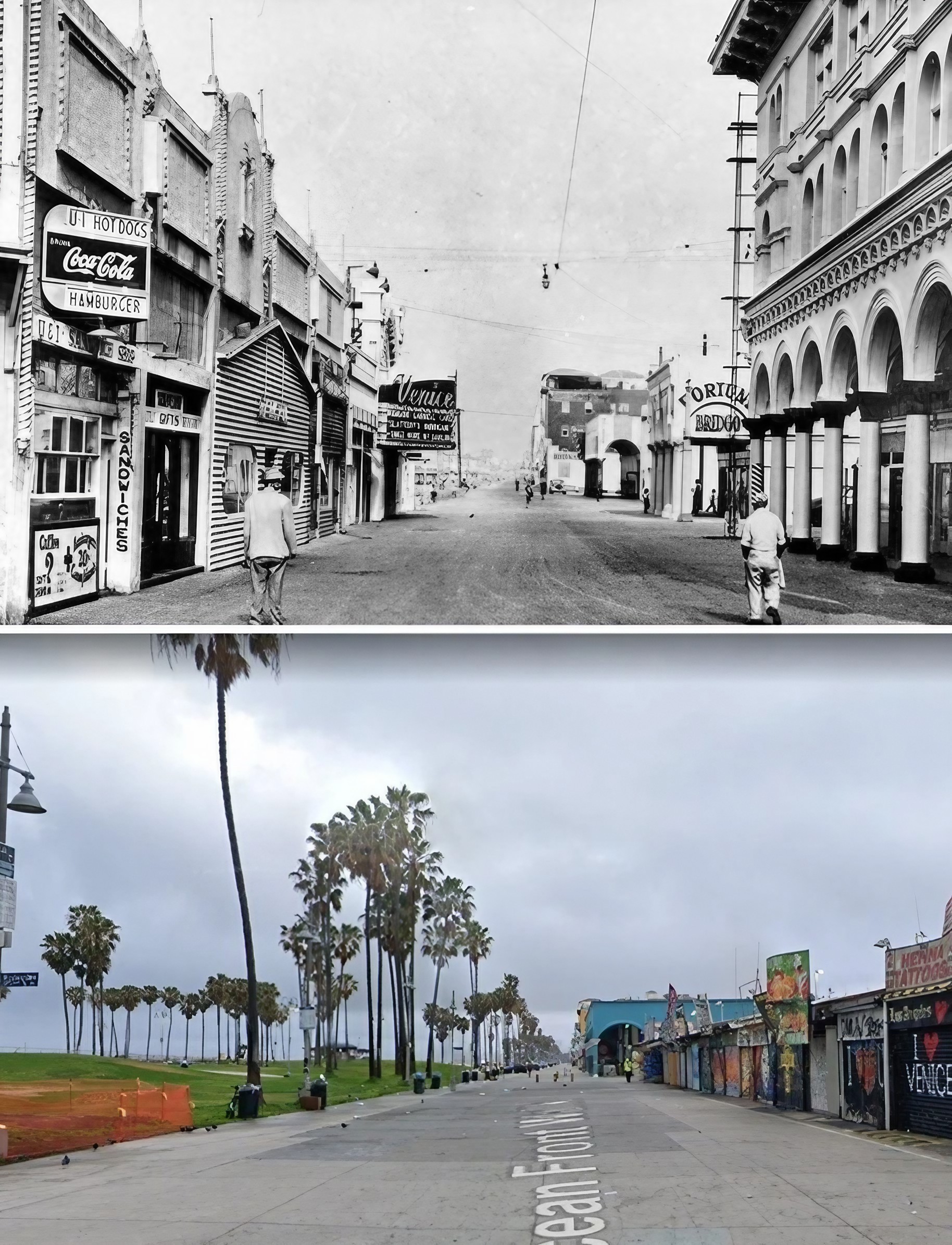 |
|
| (1949 vs 2022)* - Looking north on Ocean Front Walk from Windward Avenue in Venice. The St. Mark’s Hotel on the right was demolished in the mid-1960s. The entire row of buildings on the left, including the Venice Theatre, was also demolished and today is the location of Windward Plaza Park. Photo comparison by Jack Feldman. |
Historical Notes Ocean Front Walk has been repeatedly remade. The 1905 colonnaded resort thrived through the 1920s–30s, declined after the war, and then saw large-scale clearances in the mid-1960s that erased much of Windward and the beach-side frontage. In the late 1970s, outdoor roller-skating exploded here—Mayor Tom Bradley even dubbed Venice the “roller-skating capital of the world” in 1978—and a new arts/bohemian identity took hold. Recent decades layered in public amenities, including the Venice Beach Skatepark (opened 2009) near Windward. Today’s boardwalk mixes souvenir stands, street performance, murals, and recreation—a very different, but still crowded, promenade. |
Before and After
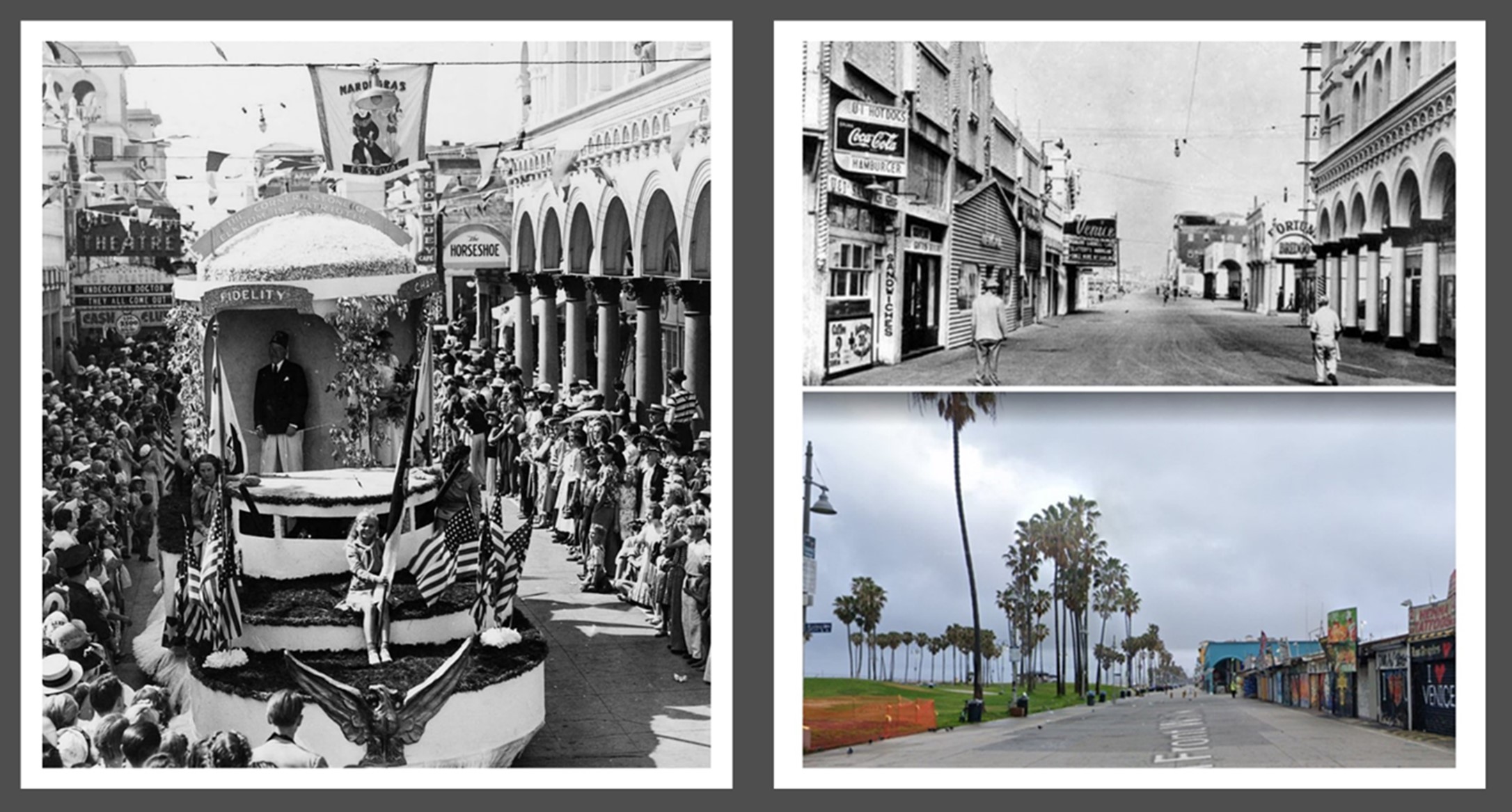 |
|
| (1939 / 1949 / 2022) - Ocean Front Walk just north of Windward Avenue. |
Historical Notes The three frames chart a century of change in a single block: (1) late-1930s Mardi Gras pomp against a backdrop of theaters and cafés; (2) post-war decline and imminent clearance (by 1949 the Plunge was gone and ocean-side demolition was near); (3) a contemporary leisure park replacing the old west-side structures, with the colonnades and Windward’s axial view still defining the walk. The cross-street once labeled Zephyr on maps had become Market Street by 1925; most of the Venetian-revival façades between Market and Windward were removed during mid-century renewal. |
* * * * * |
Ocean Front Walk - Venice
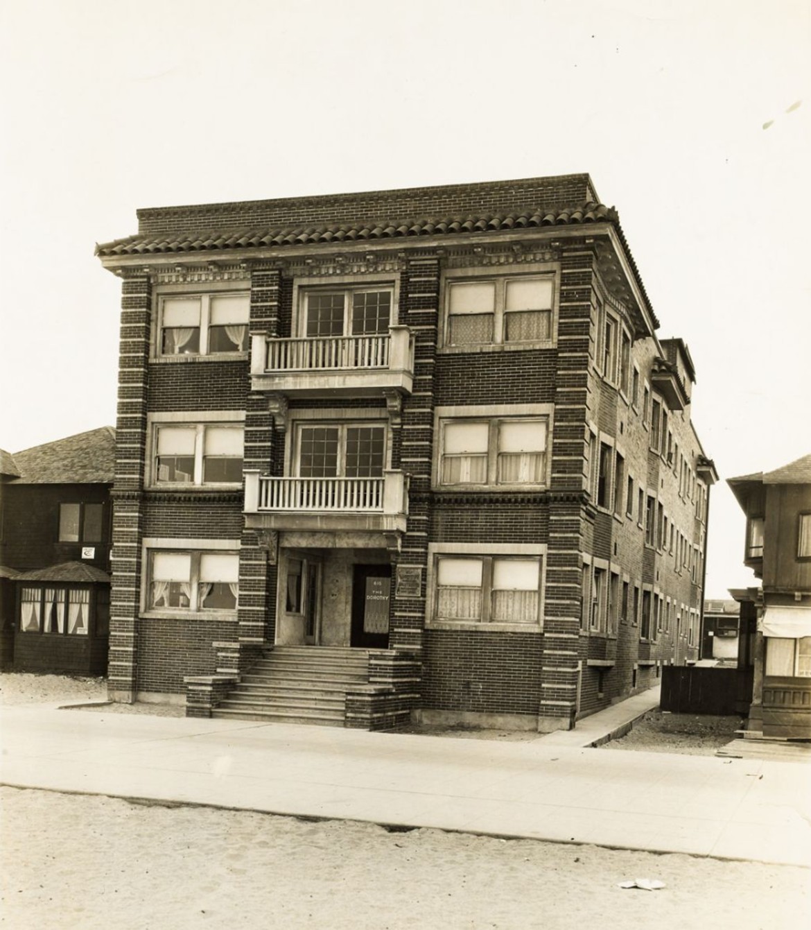 |
|
| (ca. 1920s)* – The Dorothy Apartments at 615 Ocean Front Walk, Venice, California. This three-story brick building with its tile roof and twin balconies stood just steps from the sand. The glass door is lettered “The Dorothy. 615.” reflecting the apartment house’s identity in the late 1920s. |
Historical Notes The Dorothy Apartments were one of the early multi-unit walk-ups built steps from the sand as Venice shifted from a resort of weekend hotels to a community with long-term tenants. Assessor records date the building to 1910, and a period photograph confirms the identity—the glazed door reads “The Dorothy. 615.” Its original look (three stories of brick with a tile roof and twin street-front balconies) fit the boardwalk’s 1910s–20s pattern: masonry construction with modest ornament facing the arcades and beach. Being south of Windward, the Dorothy sat outside the 1952 ocean-side clearance zone that erased the California/Venice Theatre block, which helps explain why the building survived when so much else nearby did not. |
 |
|
| (2024)* – The former Dorothy Apartments at 615 Ocean Front Walk, Venice, California. Though the brick façade, tile roof, and balconies are long gone, the building’s original three-story form and window placement reveal its identity. Now resurfaced in stucco and converted to retail at street level, it remains a presence on the Venice Boardwalk nearly a century after it was built. |
Historical Notes Though its brick skin and balconies have been stripped and the exterior resurfaced in stucco, the building’s three-story massing and window rhythm still match the 1920s view. Public records show later alterations—a documented 1942 renovation and a substantial 1976 alteration—and today the property functions as a mixed-use boardwalk building with ground-floor retail and upstairs apartments that continue to lease. The persistence of the footprint and fenestration makes it a rare physical link to the pre-war apartment era on Ocean Front Walk. |
Then and Now
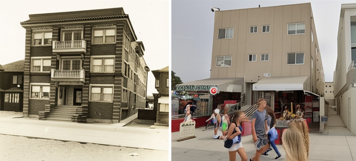 |
|
| (1920s and 2024)* – The Dorothy Apartments at 615 Ocean Front Walk, Venice, California. The original three-story brick structure, with its tile roof, balconies, and decorative details, has survived but in a dramatically altered form. Stripped of its ornamentation and resurfaced in stucco, the building has been adapted for modern use with ground-floor retail shops opening onto the Venice Boardwalk. Photo comparison by Jack Feldman. |
Historical Notes Side-by-side, the photographs show how Venice buildings have been adapted rather than restored: the Dorothy kept its bones (plan, height, bays), while successive owners simplified the exterior to meet post-war tastes and maintenance realities. That trajectory mirrors the boardwalk’s own story—ornate resort façades gave way to plainer skins as uses shifted to storefronts, rentals, and tourist retail. Despite heavy change across the district, the Dorothy’s surviving form makes it an instructive case of continuity amid transformation on the Venice waterfront. |
* * * * * |
Please Support Our CauseWater and Power Associates, Inc. is a non-profit, public service organization dedicated to preserving historical records and photos. We are of the belief that this information should be made available to everyone—for free, without restriction, without limitation and without advertisements. Your generosity allows us to continue to disseminate knowledge of the rich and diverse multicultural history of the greater Los Angeles area; to serve as a resource of historical information; and to assist in the preservation of the city's historic records.
|
For more Historical Los Angeles Views click one of the following:
For Other Historical Views click one of the following:
See Our Newest Sections:
To see how Water and Electricity shaped the history of Los Angeles click one of the following:
Water:
Power:
* * * * * |
References and Credits
* DWP - LA Public Library Image Archive
^ LA Public Library Image Archive
^*The Valley Observed: Street Name Origins; Timeline of Valley History
+*The Eastsider LA: Avenue of the Palms
*# blogdowntown: Third Street Tunnel
#* About.Com: History of Electric Vehicles
#+ Facebook.com: Classic Hollywood/Los Angeles/SFV
#*^Library of Congress: Venice Lagoon
##*A Visit to Old Los Angeles: CSULB
*##LA Times: Dig Into History You'll Find Snake Oil..Victor Girard Kleinberger ; 1900 Fashion
^##Metropolitan Transportation Library and Archive
##^CSUN Oviatt Library Digital Archives
###Denver Public Library Image Archive
*#*Historical Los Angeles Theatres: The Philharmonic Auditorium; Downtown Theatres
*^#LincolnHeightsLA.com: Legion Ascot Speedway
**#KCET - Lost Tunnels of Downtown LA; Three Forgotten Railway Inclines; Edendale Red Car Line; The Origins of Elysian Park; When L.A. Was a Horse-Powered Town; How L.A. Celebrated Sunset Boulevard's Opening in 1904
^*#California State Library Image Archive
^^#forum.scraperage.com: Aliso St; Hill Street Tunnel, 1903; Broadway Tunnel
*#^History of Hermosa Beach - Maureen Megowan
^#*City of Redondo Beach HIstory
^#^Noirish Los Angeles - forum.skyscraperpage.com; Broadway Tunnel; Sugarloaf Point; Angels Flight; Avalon; Boylston Yard
+#+Silentlocations.wordpress.com: Venice Minitiare Railroad
++#Everydayarmour.blogspot.com/
^^*Early Downtown Los Angeles - Cory Stargel, Sarah Stargel; Hollenbeck Hotel
***Los Angeles Historic - Cultural Monuments Listing
**^Historicechopark.org: Echo Park Lake; Elysian Park
*^*California Historical Landmarks Listing (Los Angeles)
*^^Nuestra Señora la Reina de los Ángeles: losangelespast.com
^^^Aerofiles - US Aviation Firsts
***^Oviatt Library Digital Archives
***#Pinterest.com: 1890's to 1920's Los Angeles - Anna Blanc's LA; Snapshots - Avalon Bay
#***S.S. Hermosa: pasadenastarnews.com
#**^LA County Library Image Archive
#*#^Brand Park and Studios: glendale.ca.us
*^#*On Bunker Hill: Crocker Mansion
*^#^Huntington Digital Library Archive
^^*^Restaurantwarecollectors.com: Angelus Hotel
^^^#Los Angeles Fire Department Historical Archive
#*^^Flickr.com: Views of Los Angeles
^*##Calisphere: University of California Image Archive
^##^Glendale Historical Society
^#^#U.S. Geological Survey Photographic Library
*#**Los Angeles Westerners Corral: Venice Miniature Railway
^#*^Facebook.com - Bizarre Los Angeles
*#*#Abandoned & Little-Known Airfields – Paul Freeman
^#*#Angels Flight Goes to the Movies
*##*Chatsworth Historical Society
+##+Restaurant-ing Through History: Ice Cream Parlors
**#*Creating a Landmark: the Historic Casino Point
*###Pacific Coast Architecture Database (PCAD): Bryson-Bonebrake Block
###*Glendalecagov.org: Glendale History
*##^Wikimapia: Pacific Electric Edendale Cut
#**#Debunking Venice's Historic Myths
#^^#Facebook.com: Garden of Allah Novels, Martin Turnbull
****#Tumblr.com: LA History - Leonis Adobe
#+++Facebook.com: West San Fernando Valley Then And Now
#+#+Glendale News-Press: Tropic
**#**Electric Railway Historic Association: Angel's Flight
**^*^Pacific Electric Historical Society
^^^**Metropolitan News: H. Jevne Co. Offers Free Home Delivery
^^^^#A History of the Los Angeles City Market
*#*#*Venice Miniature Railroad - Jeffrey Stanton
*^ Wikipedia: H.J. Whitley; Occidental College; Beverly Hills; Beverly Hills Hotel; Los Angeles Railway; Pershing Square; Broadway Tunnel: Isaac Van Nuys; Sawtelle; Port of Los Angeles; Tournament of Roses Parade; Angels Flight; Occidental College; Mt. Washington, LA; Broadway, LA; Hancock Park; La Brea Tar Pits; Los Angeles City Oil Field; Deadman's Island (San Pedro); Moses Sherman; Rose Bowl Game; Hollywood Hotel; Hollywood HIgh School; California Club; San Pedro; Salt Lake Oil Field - Gilmore Oil Field; Westwood; 2nd Street Tunnel; Hermosa Beach; Los Angeles Memorial Coliseum; Redondo Beach Pier; Redondo Beach; West Hollywood; Pacific Palisades; 1910 L.A. International Air Meet at Dominguez Hills; Hancock Park; Marlborough School; Pacific Electric Building; History of the Los Angeles Police Department; History of Los Angeles Population Growth; Avalon Bay Stereoscopic View; History of UCLA; Leslie Brand; Venice Canal HIstoric District; Leslie Brand; Grand Central Airport; Leonis Adobe; Los Angeles Herald-Examiner; Camera Obscura; Friday Morning Club
< Back